
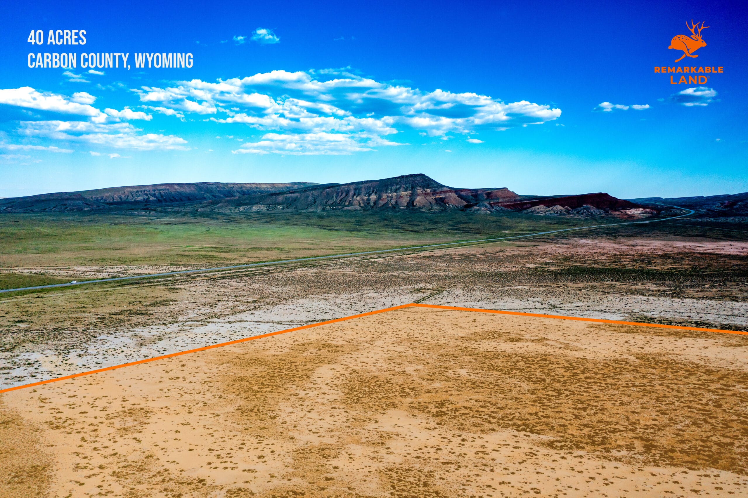


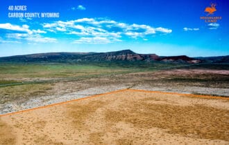


SOLD: 40 Acre Hunting Camp Near Rawlins, WY
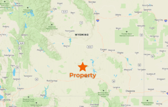
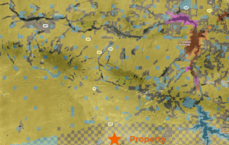
17.4 miles from Rawlins, WY
APN# R0017743
Payment Options

Payment Notes:
🛑 CASH ONLY! No payment options are available for this property.
How to Purchase: Please click the orange “RESERVE NOW” button above ☝️ to make your secure deposit payment via credit card or debit card. Once you’ve completed checkout, we will both receive instant email notification of your deposit, and the deposit will be credited towards the cash price at closing. Properties are sold on a “first deposit, first sold” basis. The remaining balance will be due via wire transfer.
$199 Option Fee: All property deposits are subject to a NON-REFUNDABLE $199 OPTION FEE. Please see our Refund Policy for more information. The Buyer will have up to seven (7) days to sign the contract.
Call or Text: Call or Text us anytime at 855-833-LAND (855-833-5263) with questions or to purchase this property.
Paying a 3% Buyer's Agent Commission!
Property Description
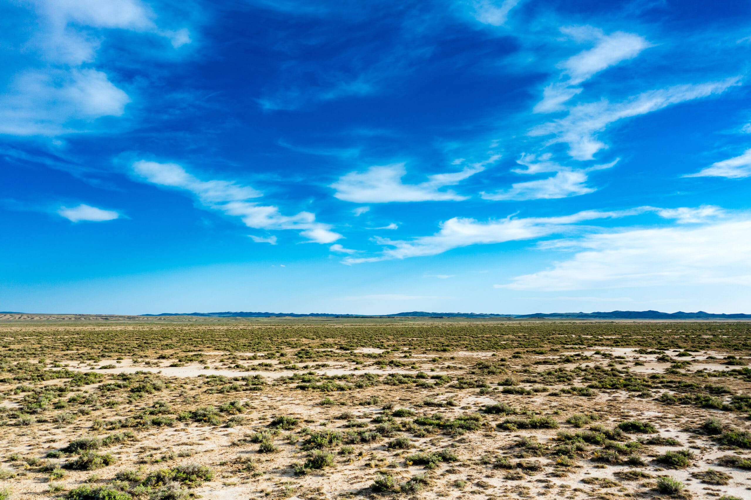
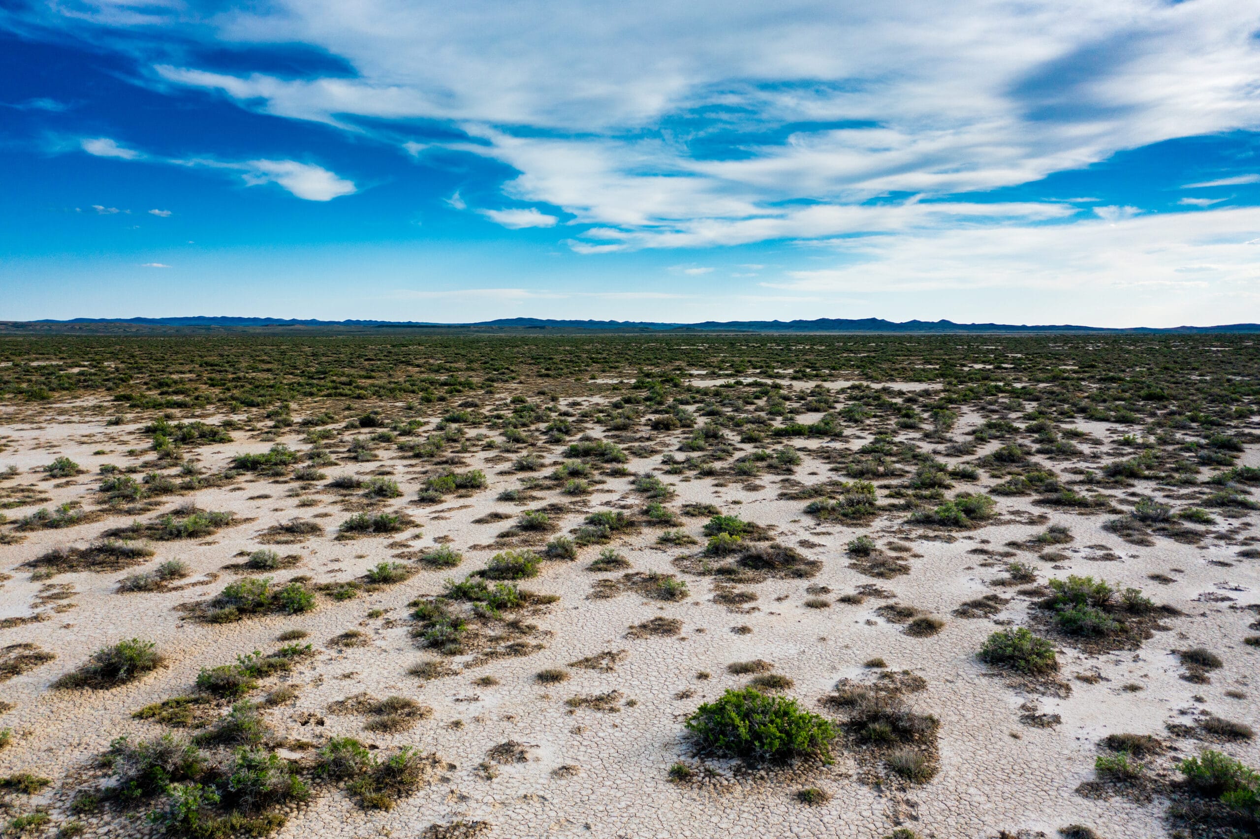
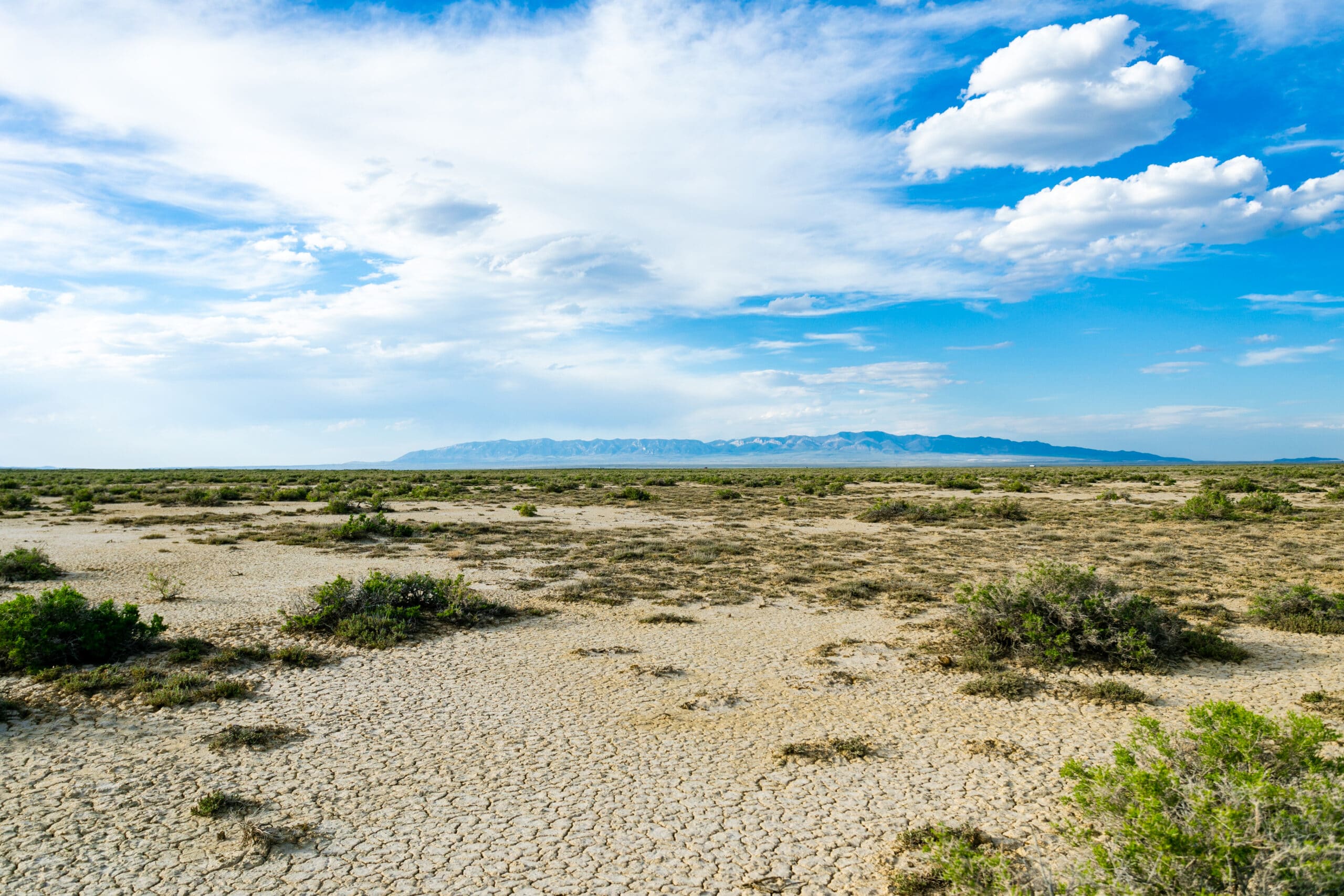
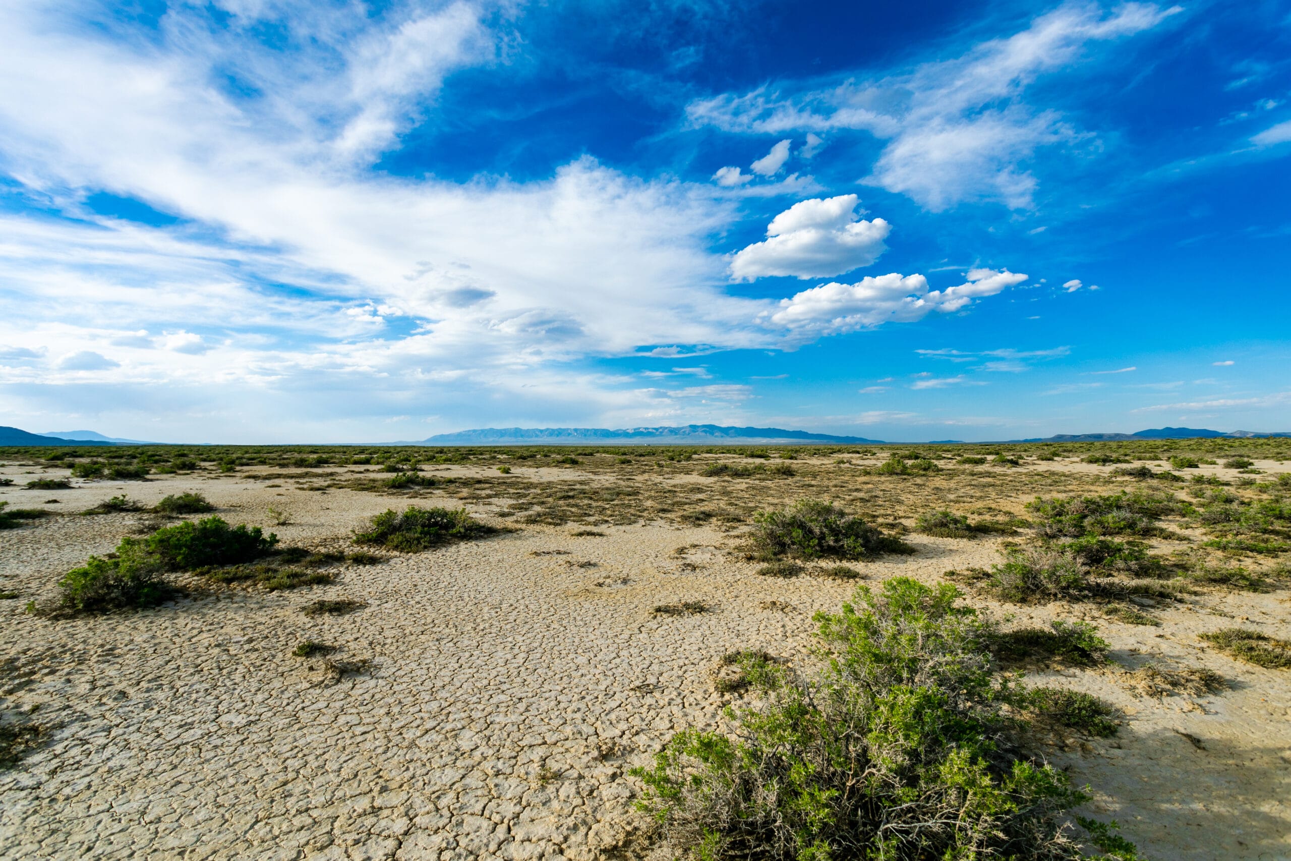
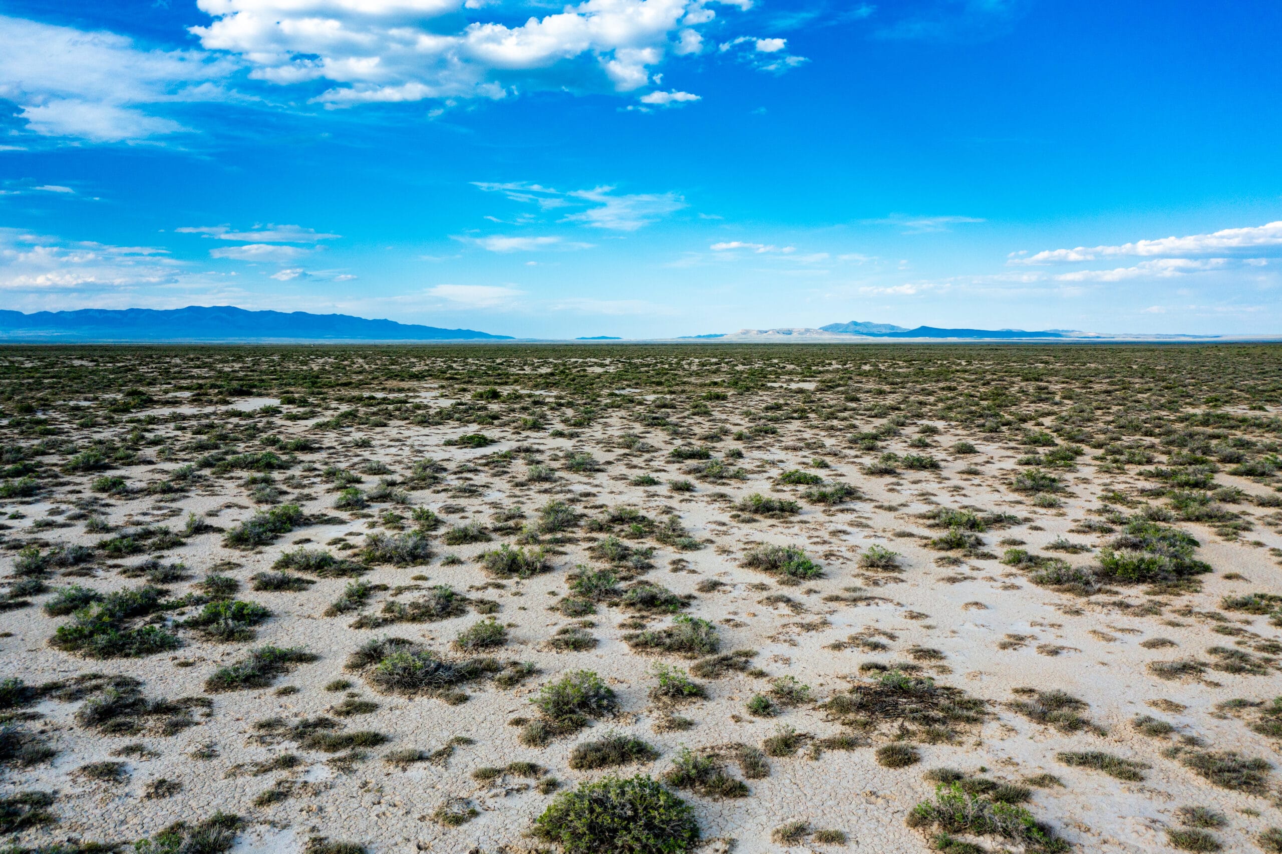
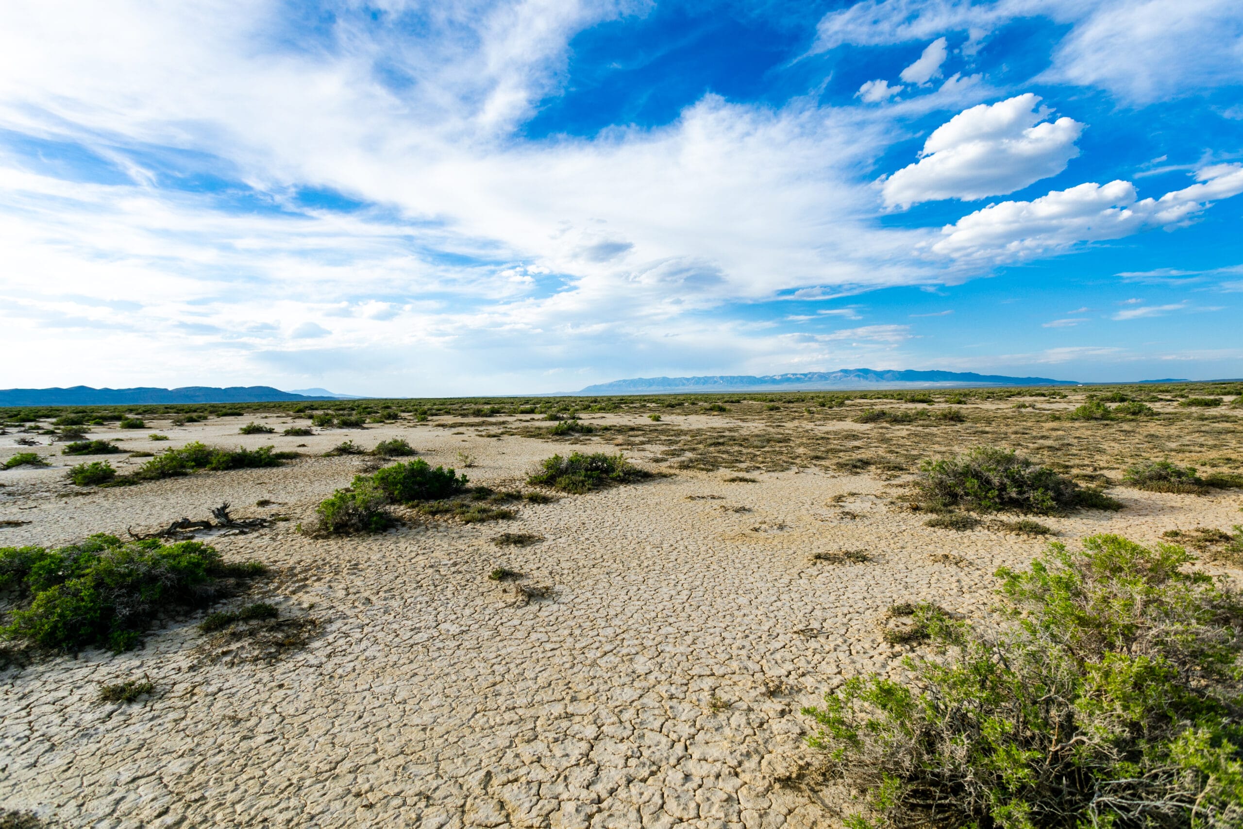
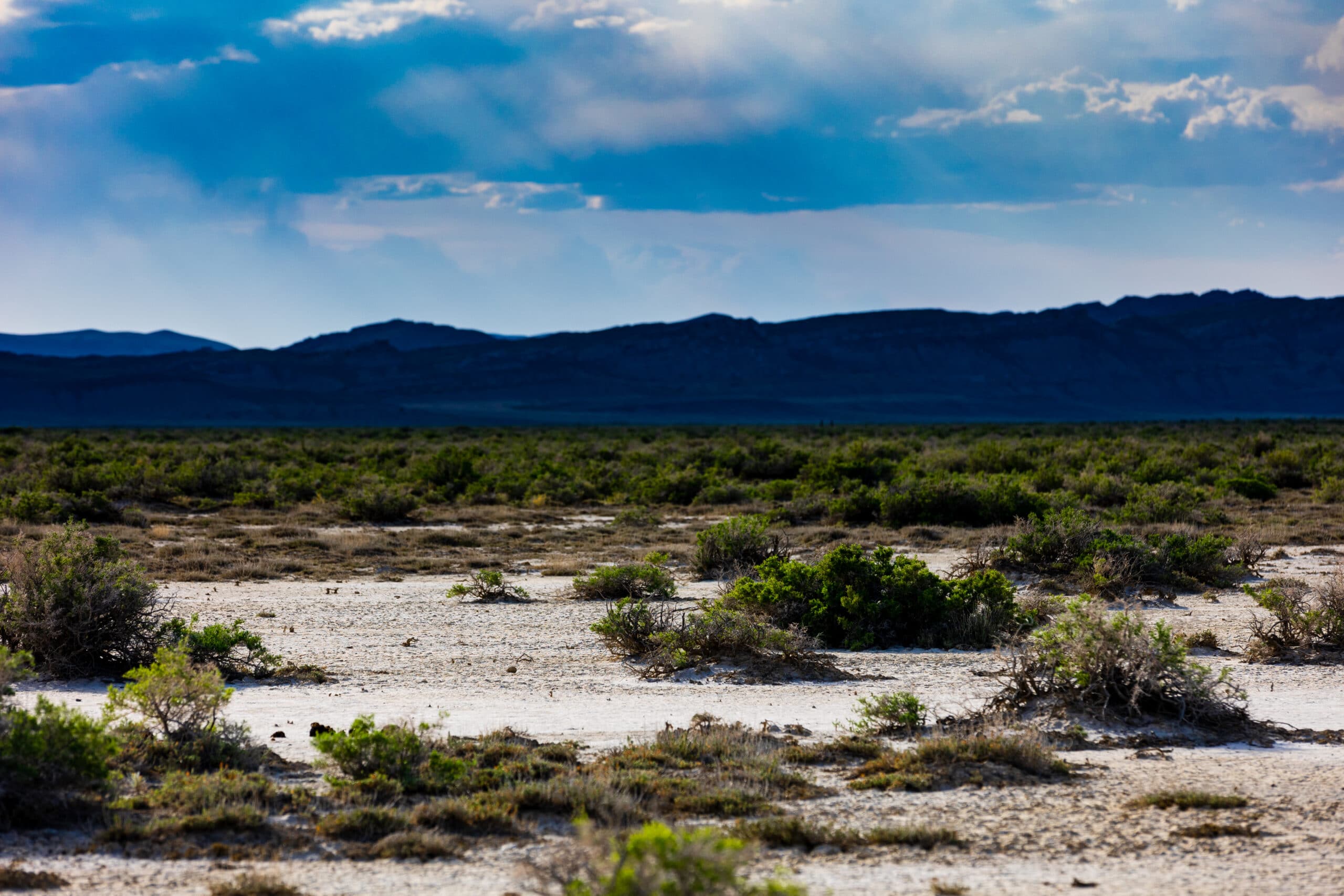
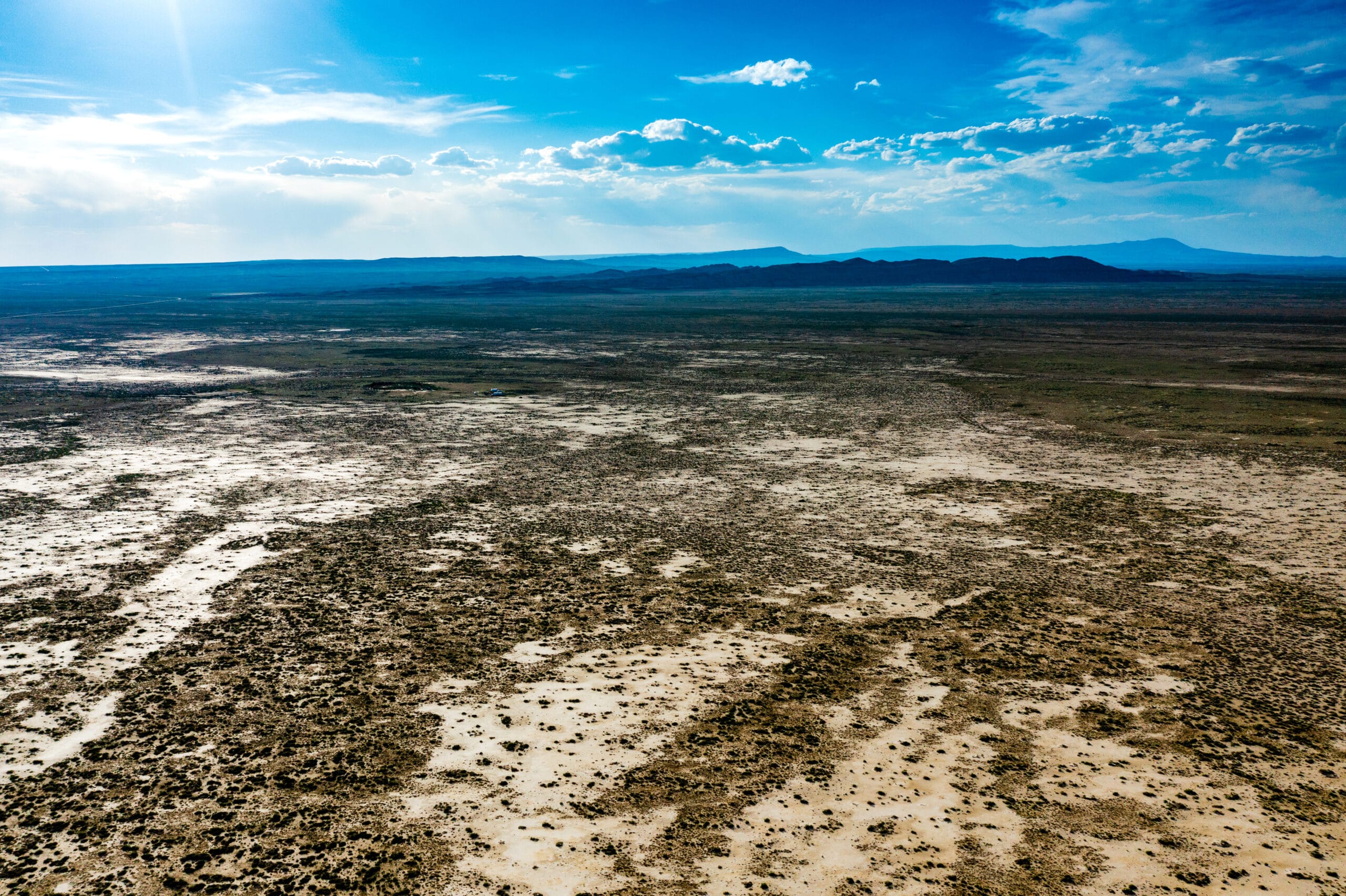
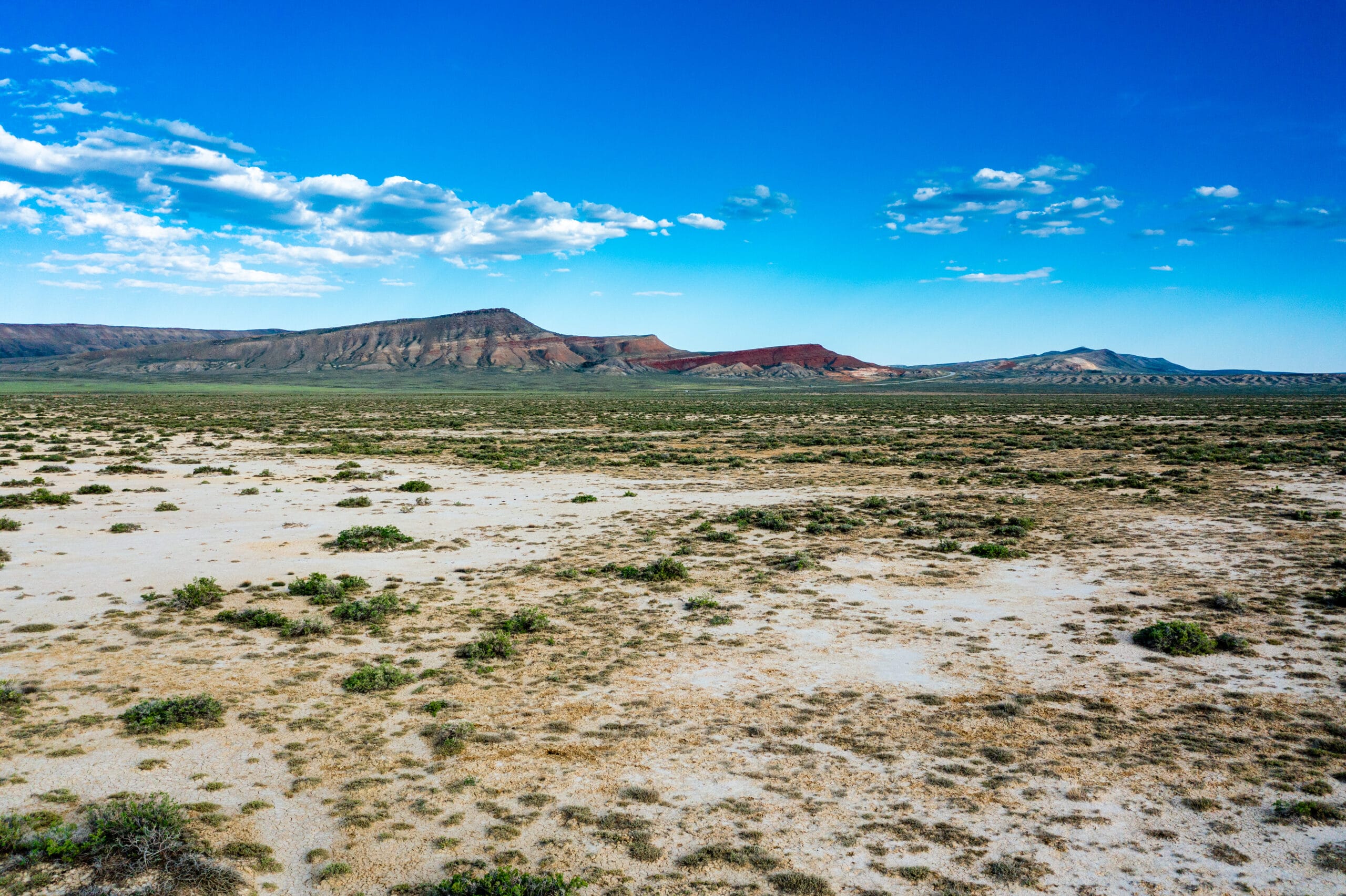
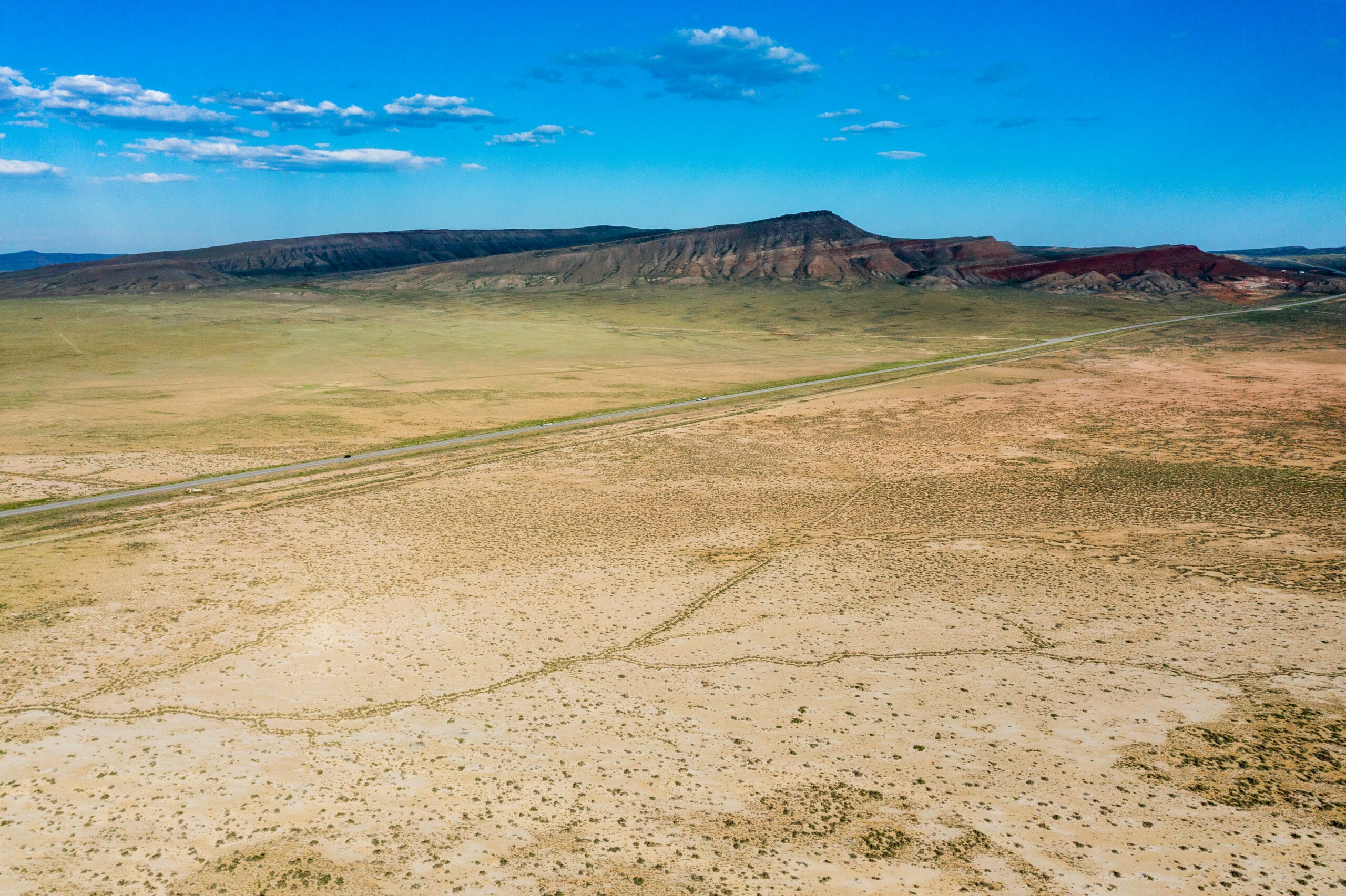
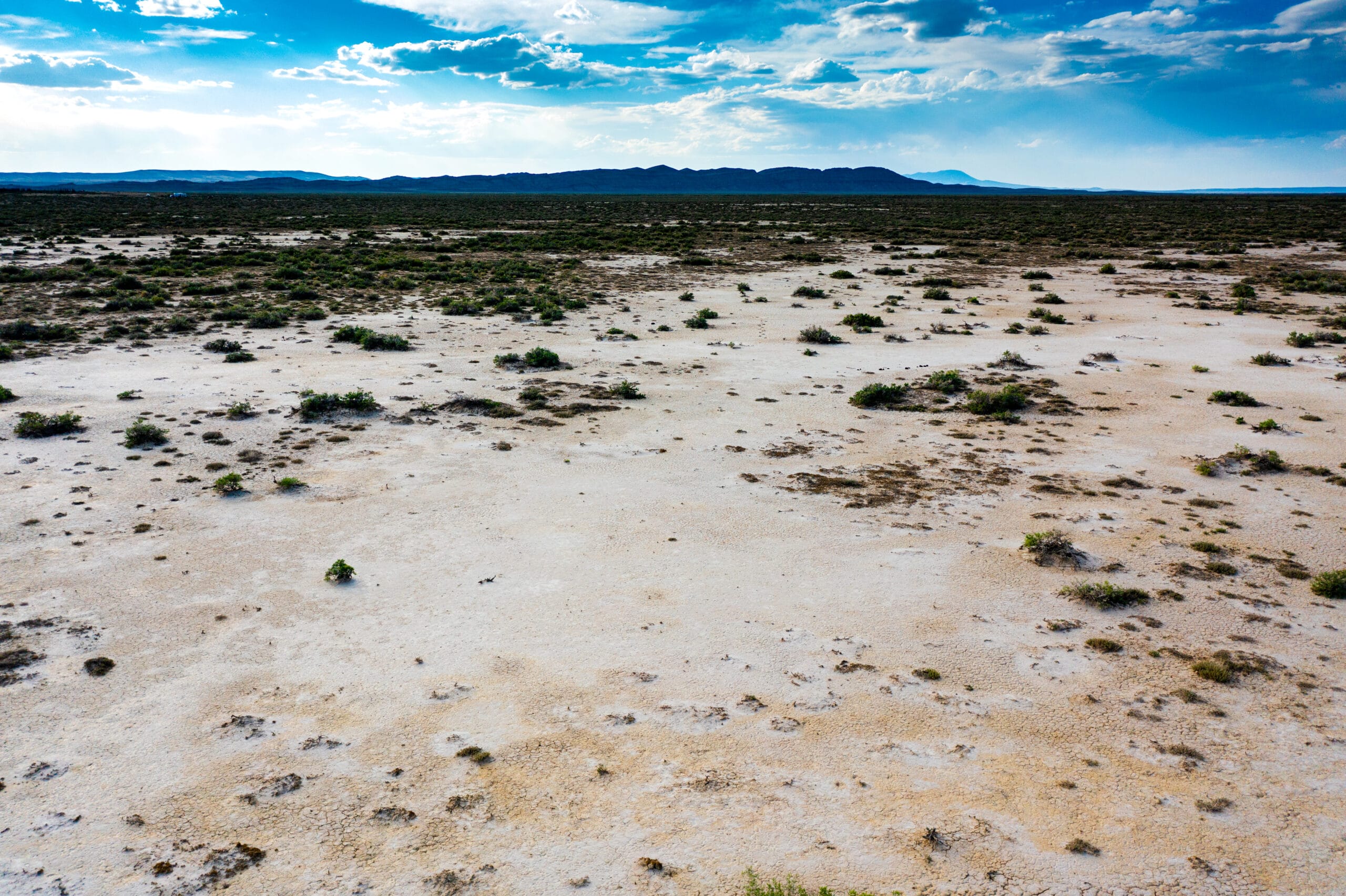
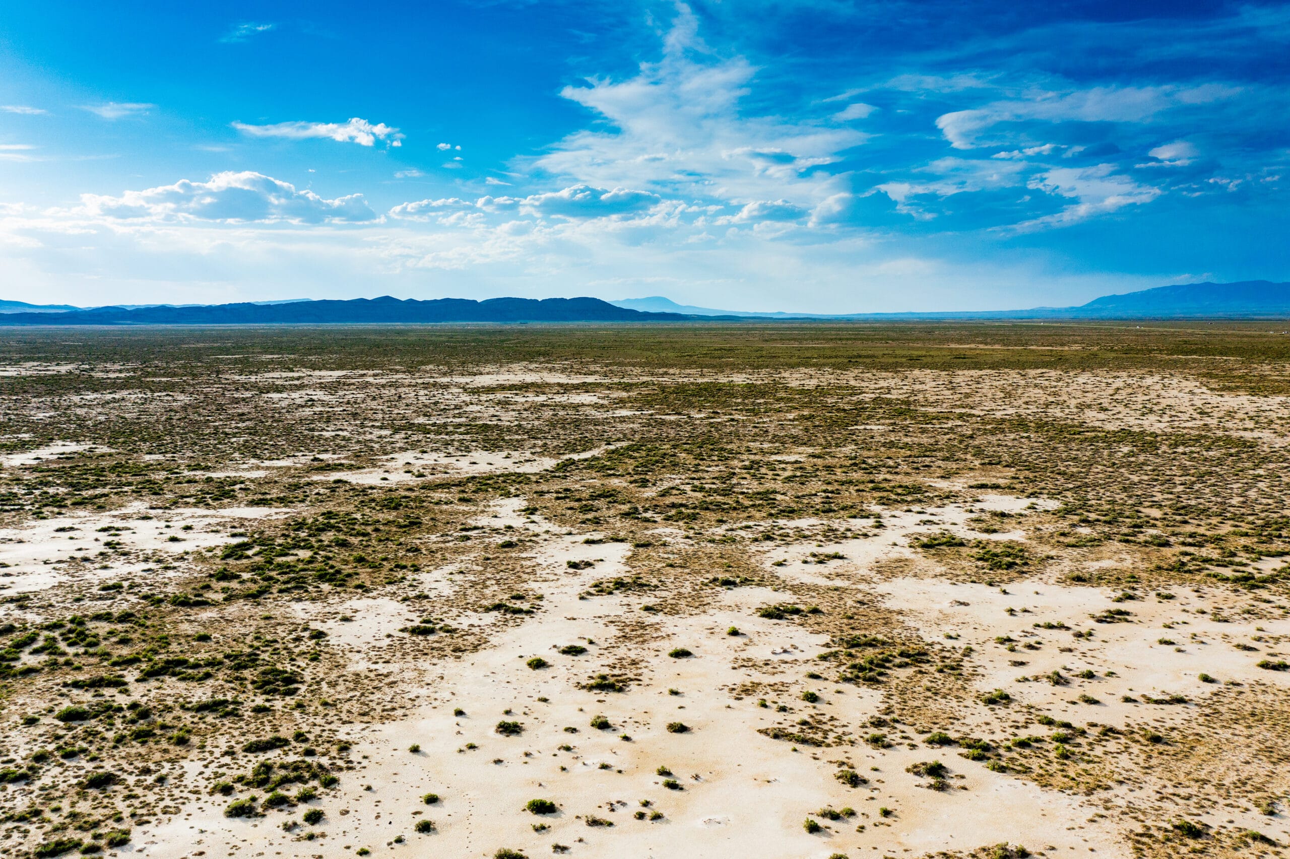
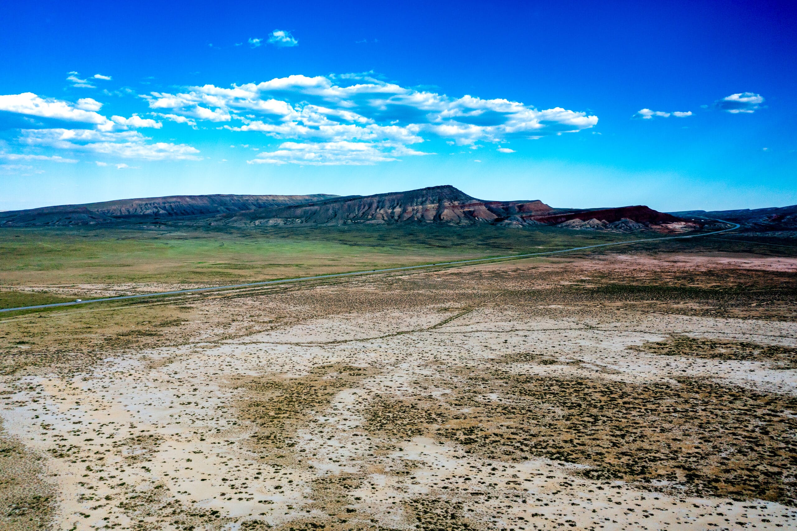
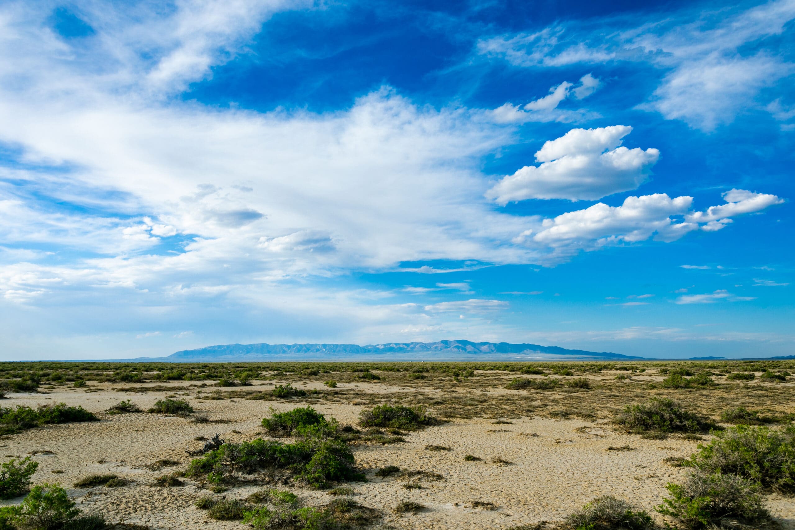
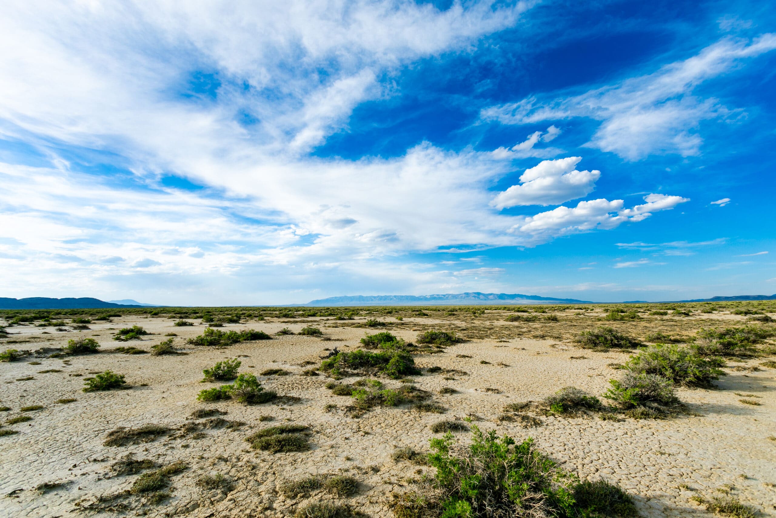
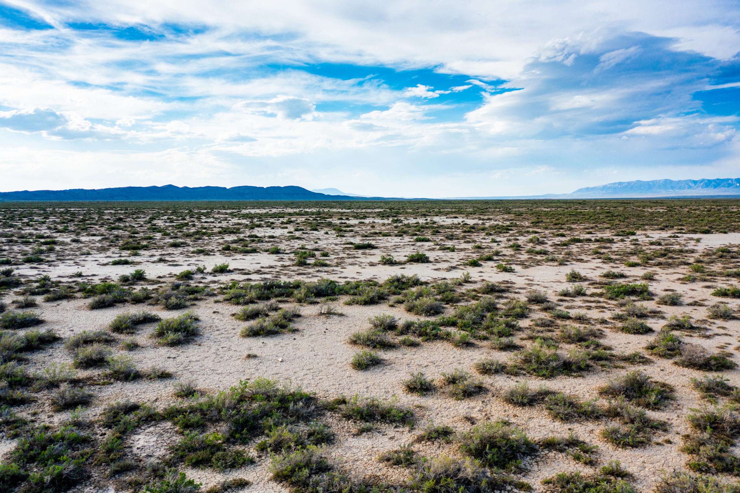
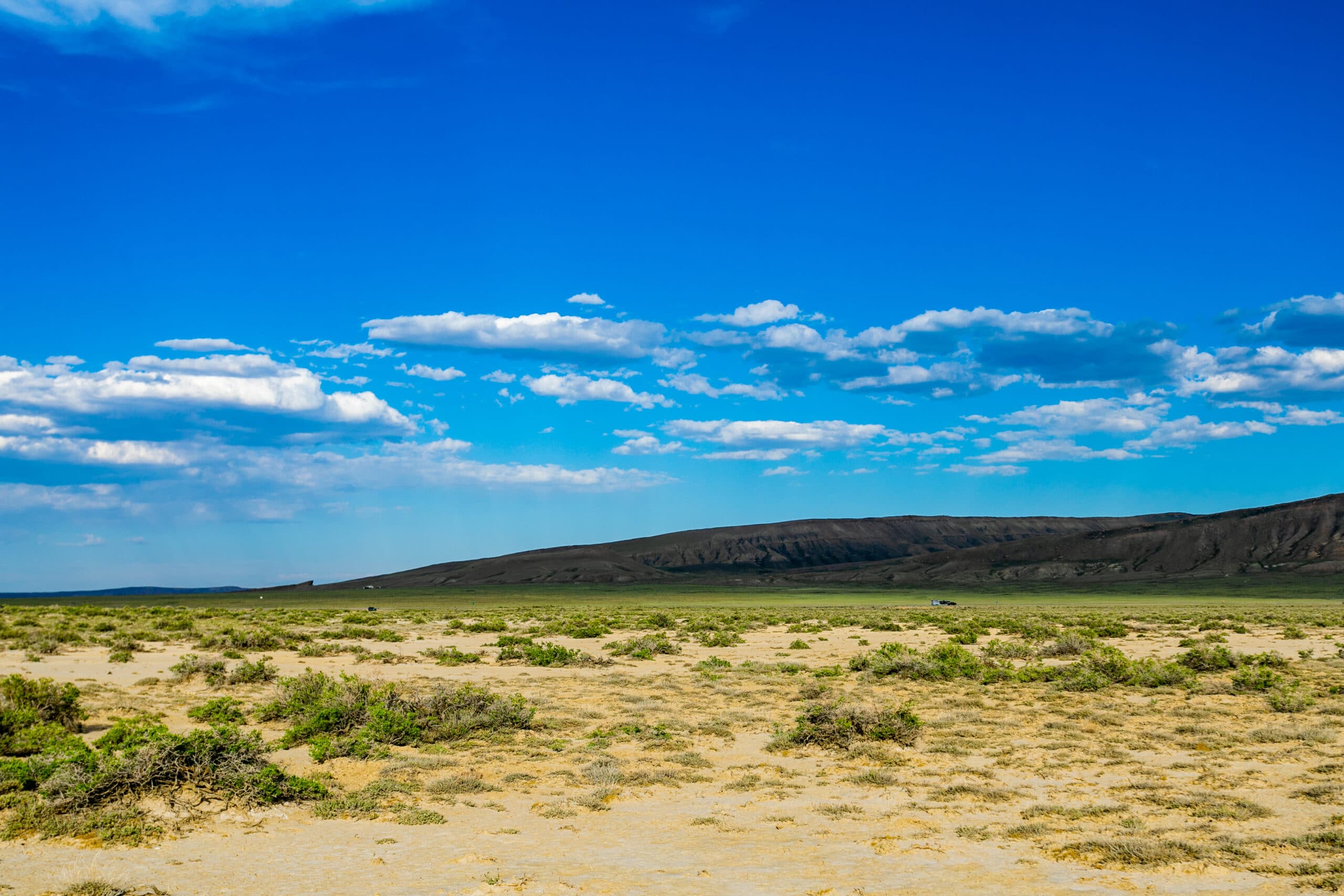
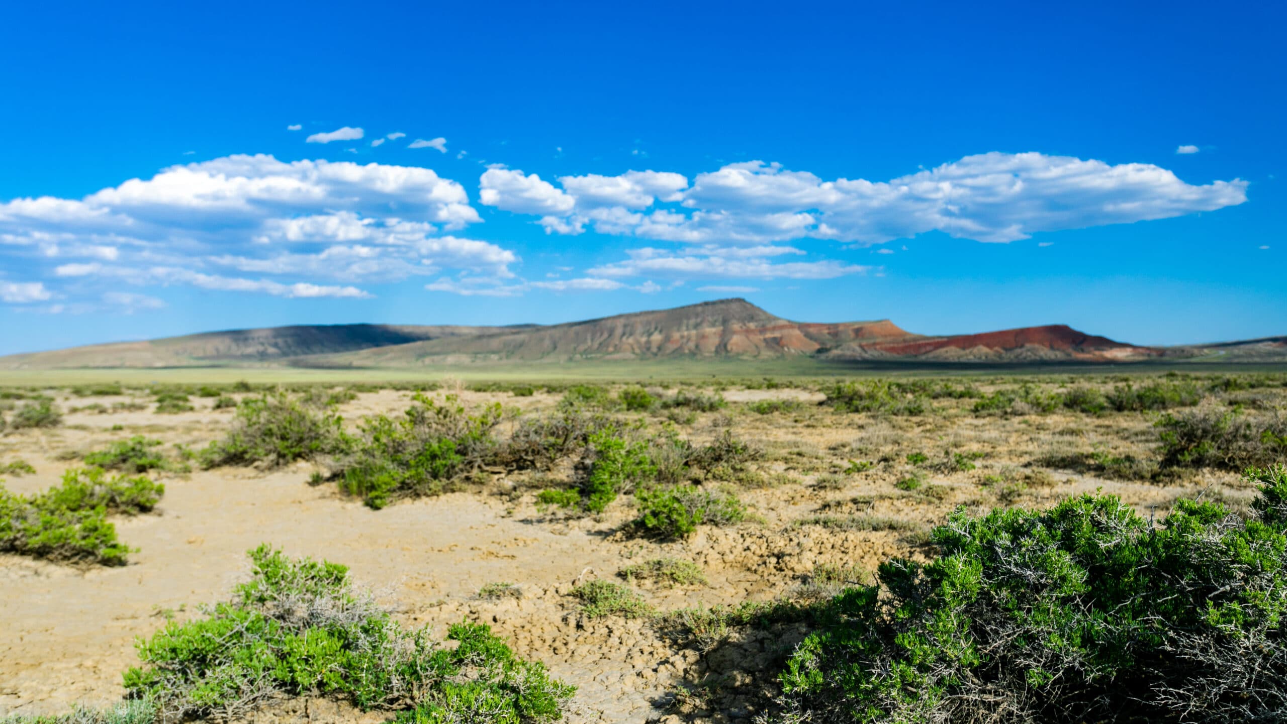
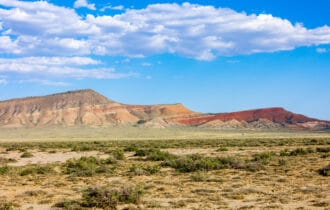
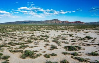
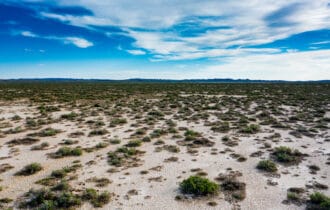
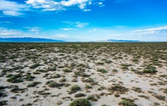
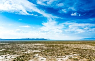
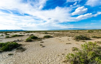
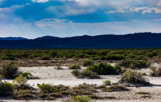
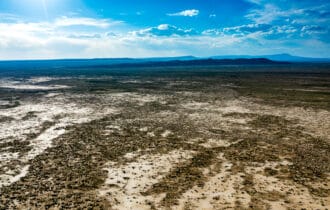
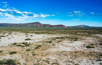
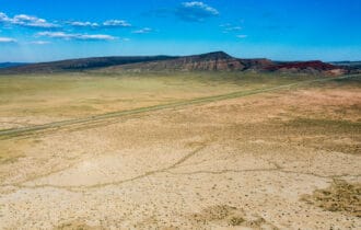
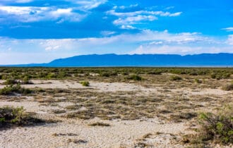
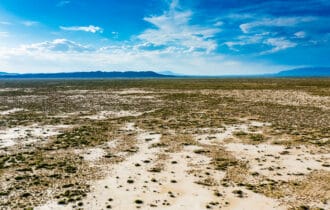
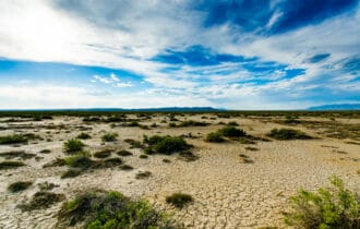
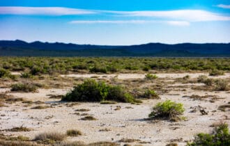
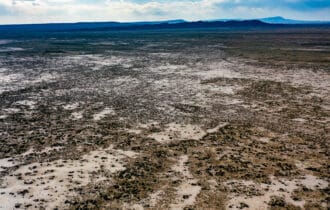
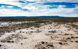
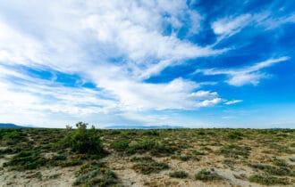
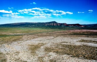
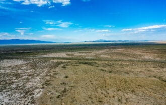
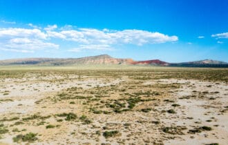
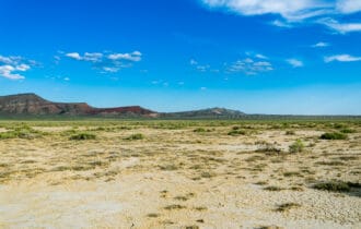
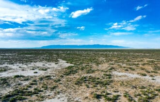
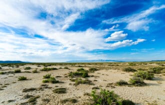
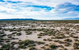
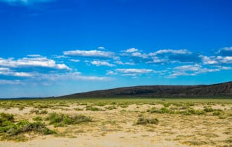
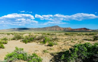
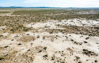
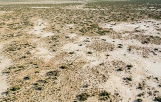
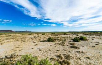
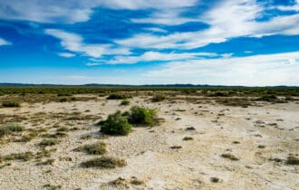
40 Acre Hunting Camp Near Rawlins, WY
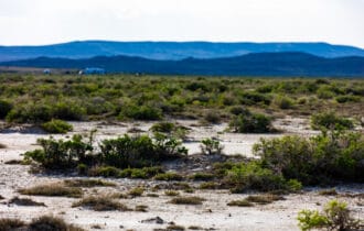
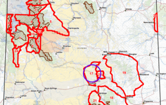
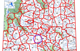
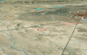
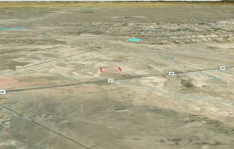
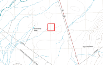
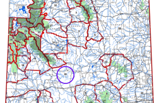
Access to four BLM sections to the north, east, south, and west (2,560 acres).
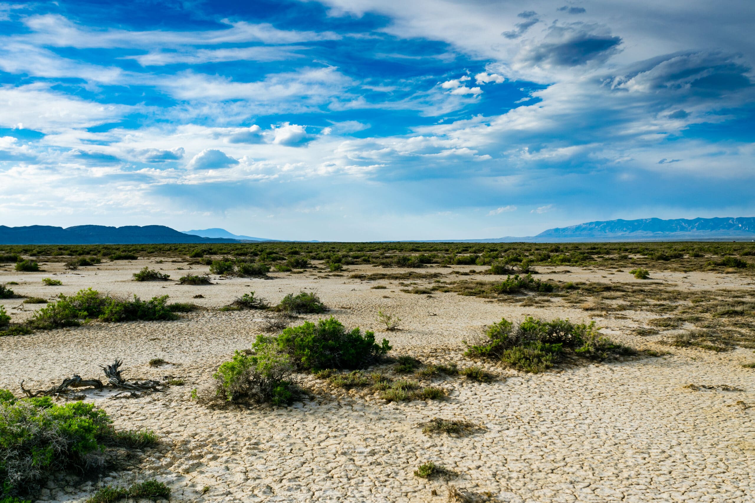
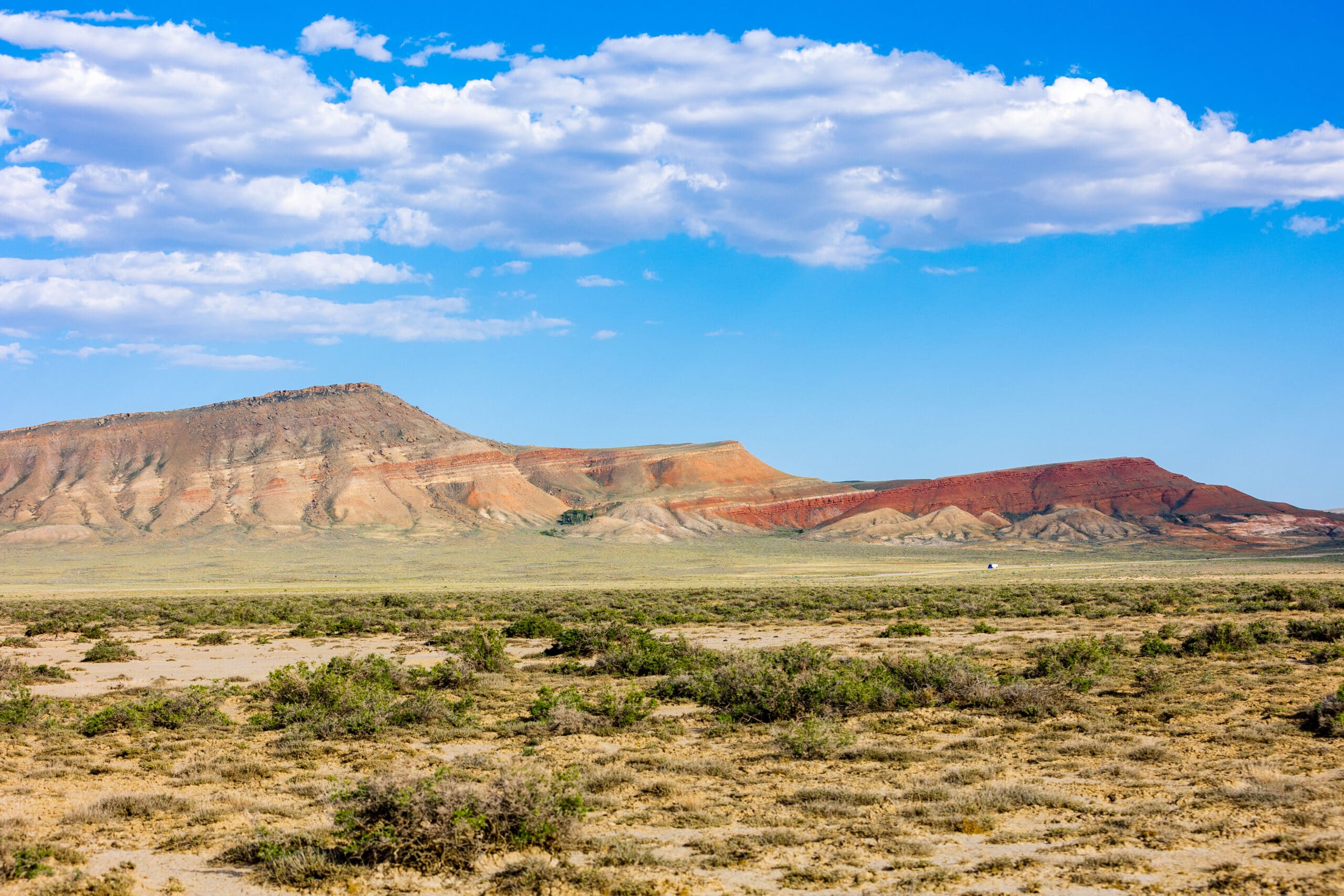
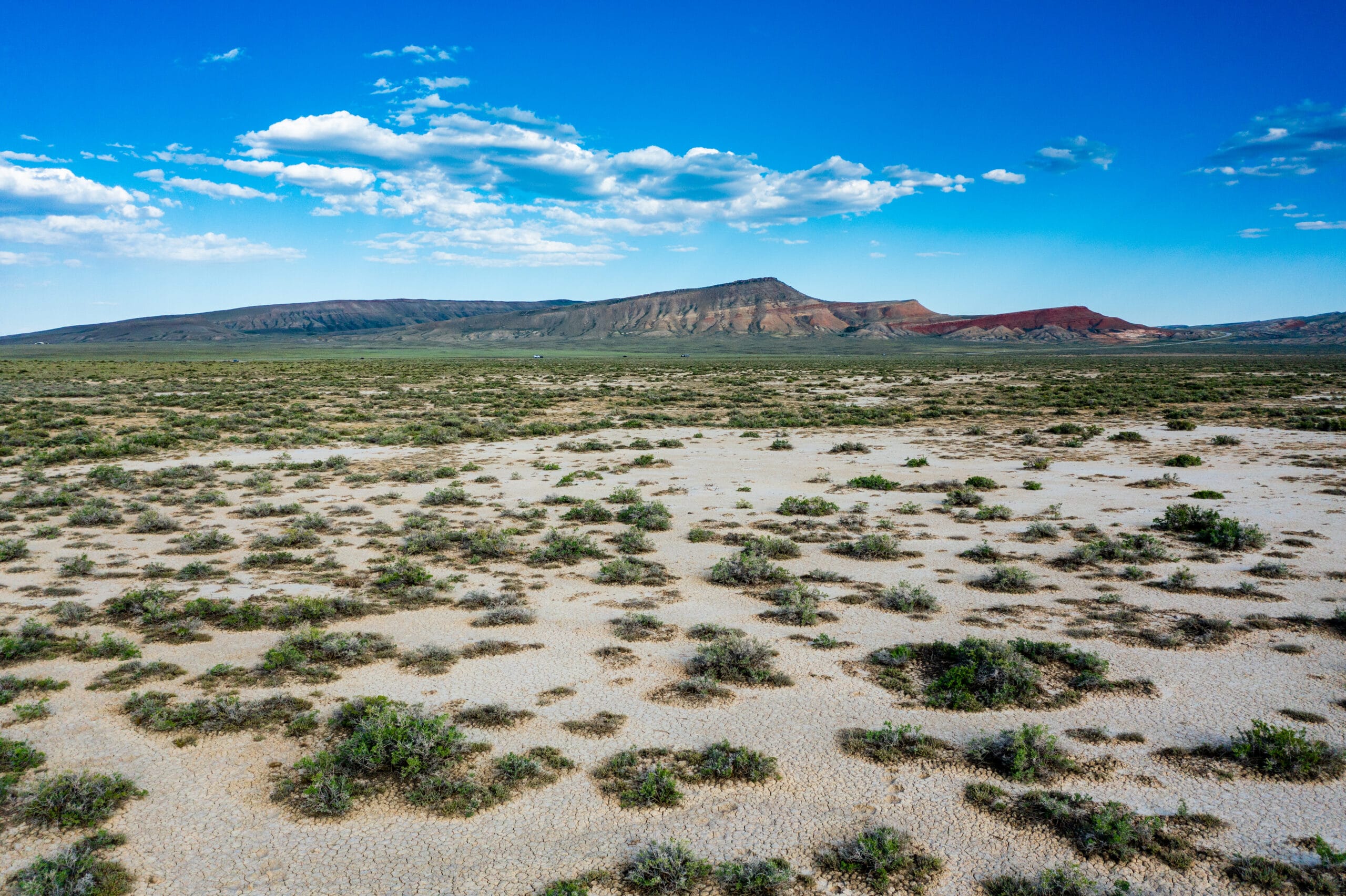
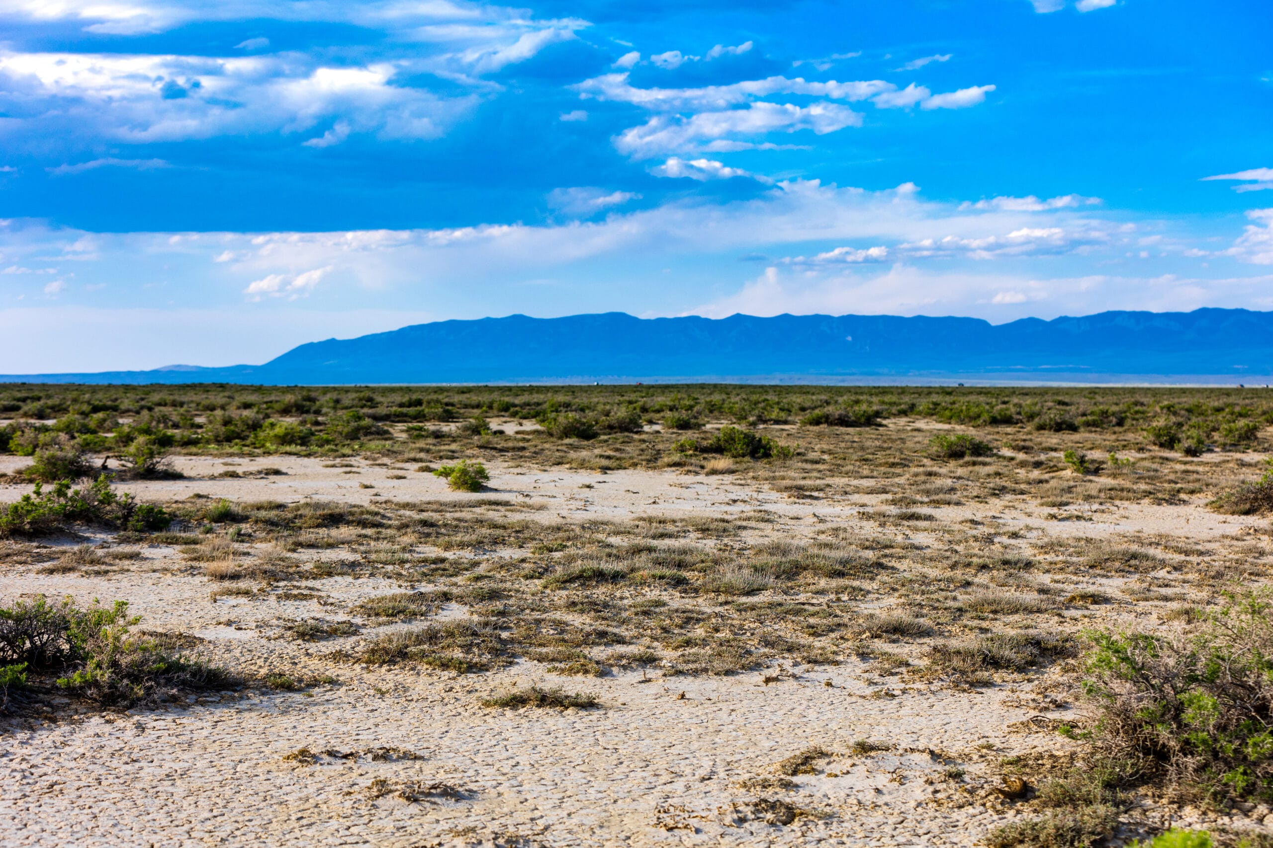
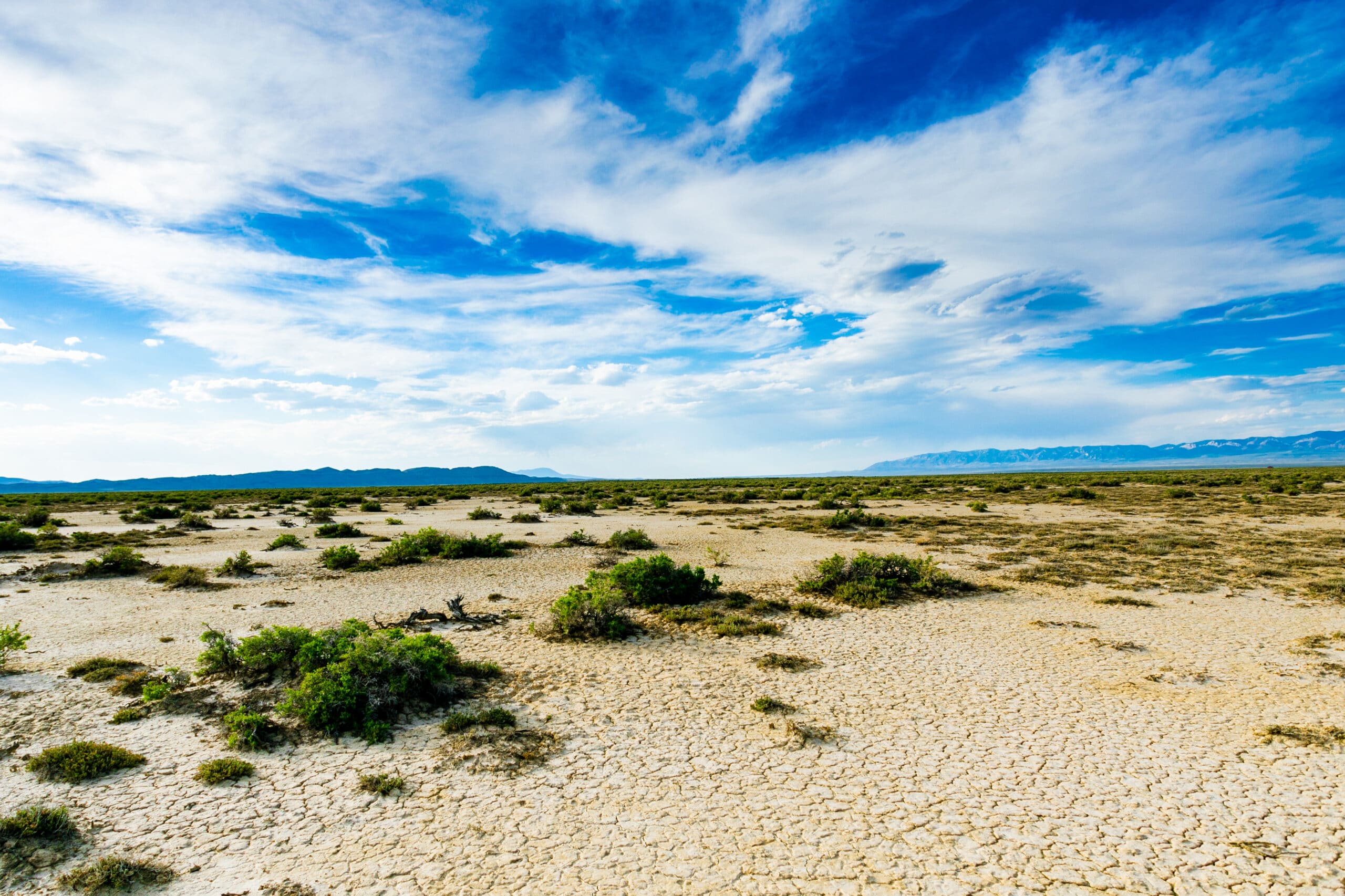
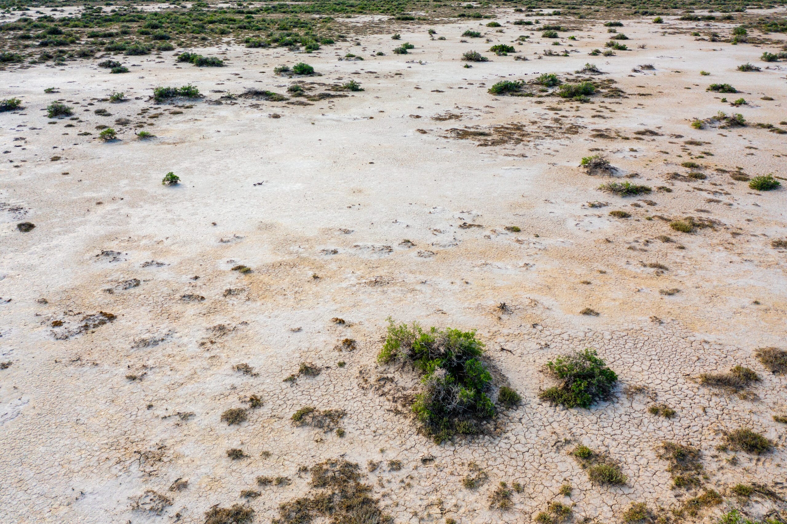
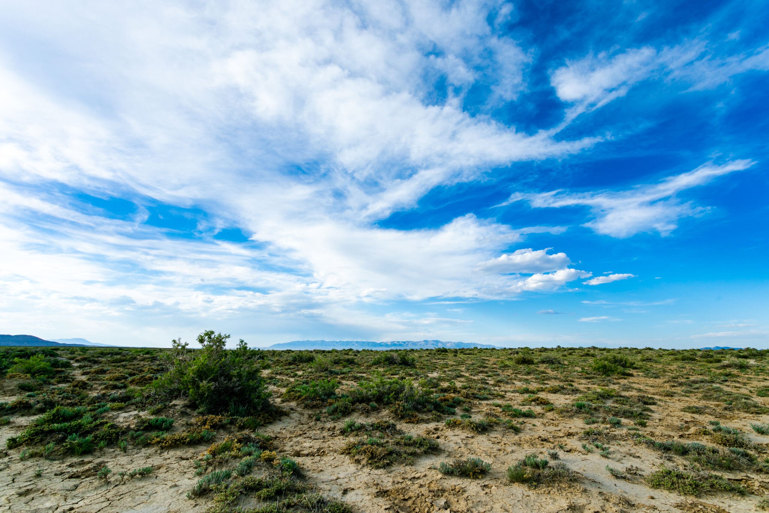
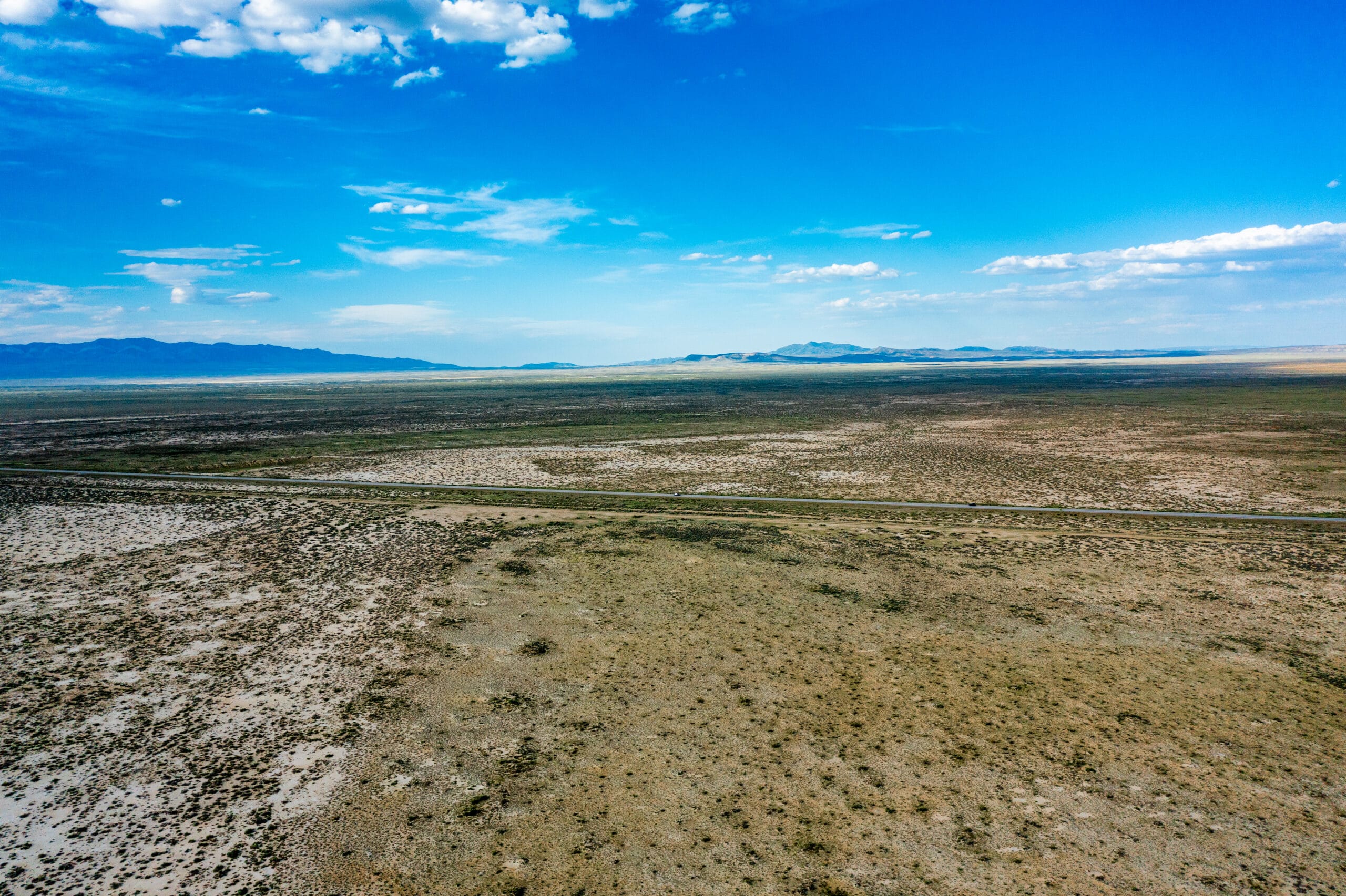
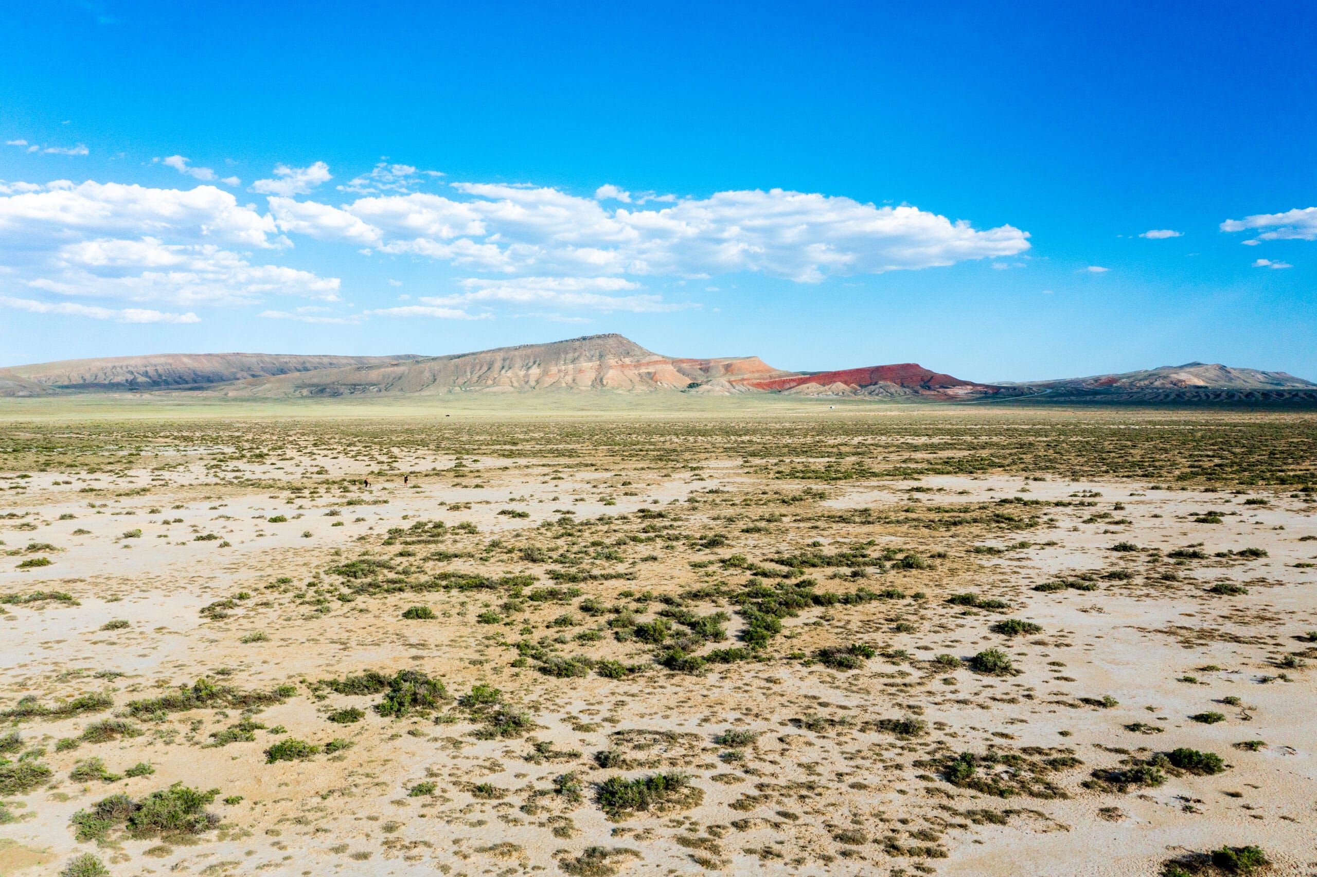
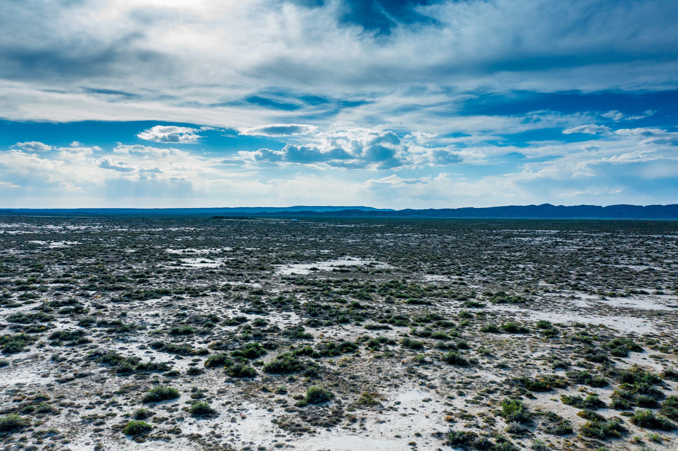
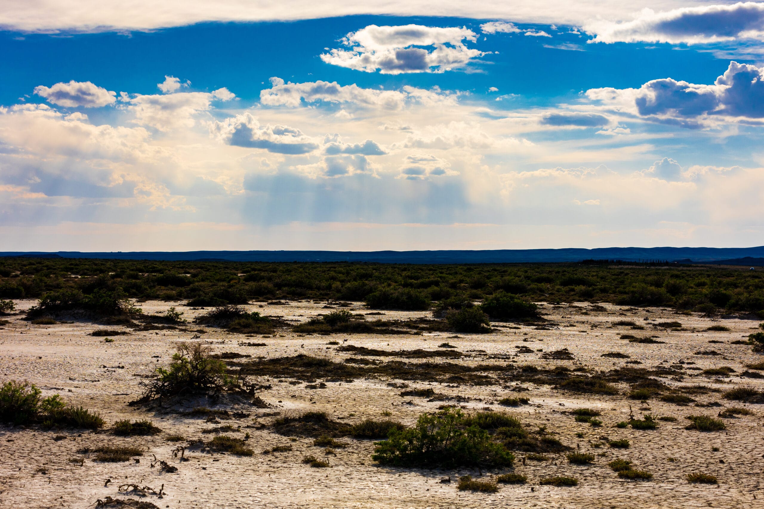
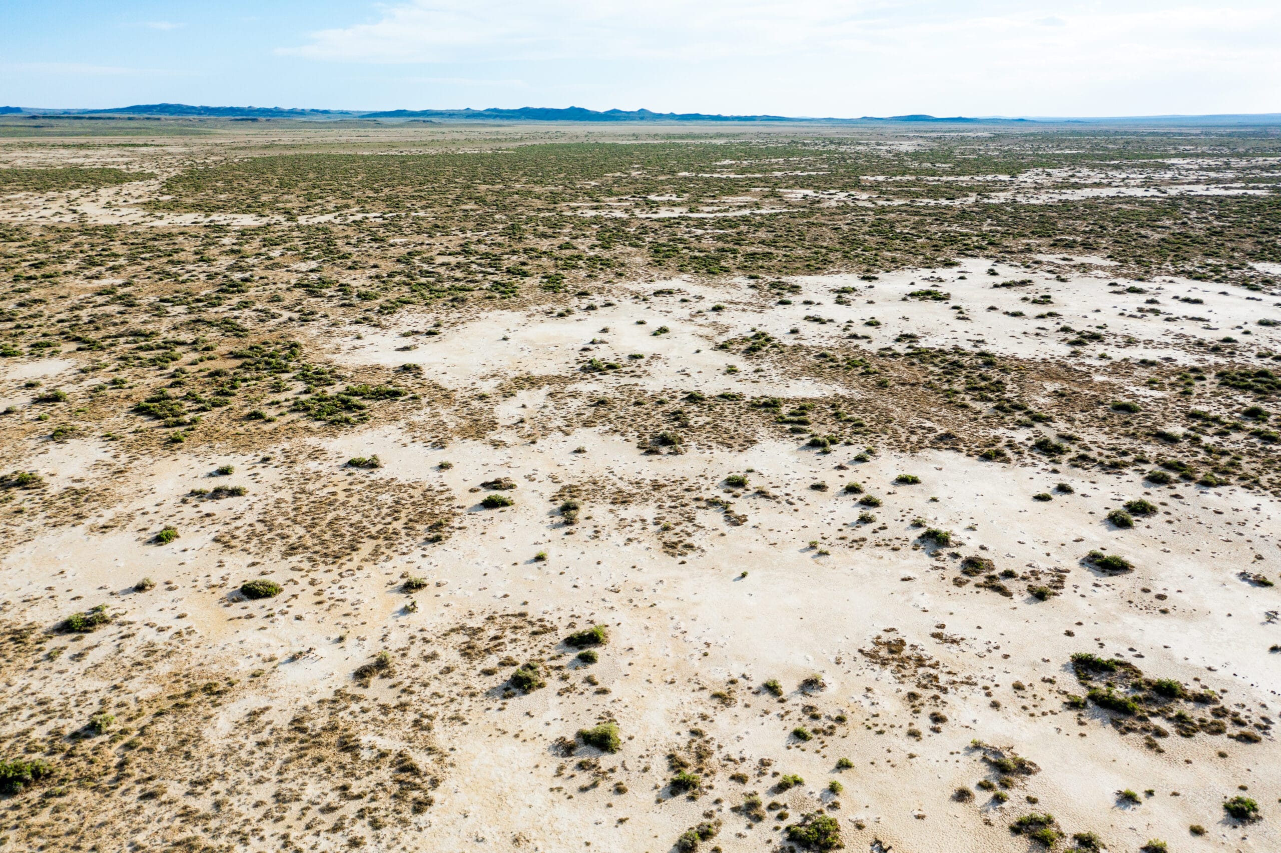
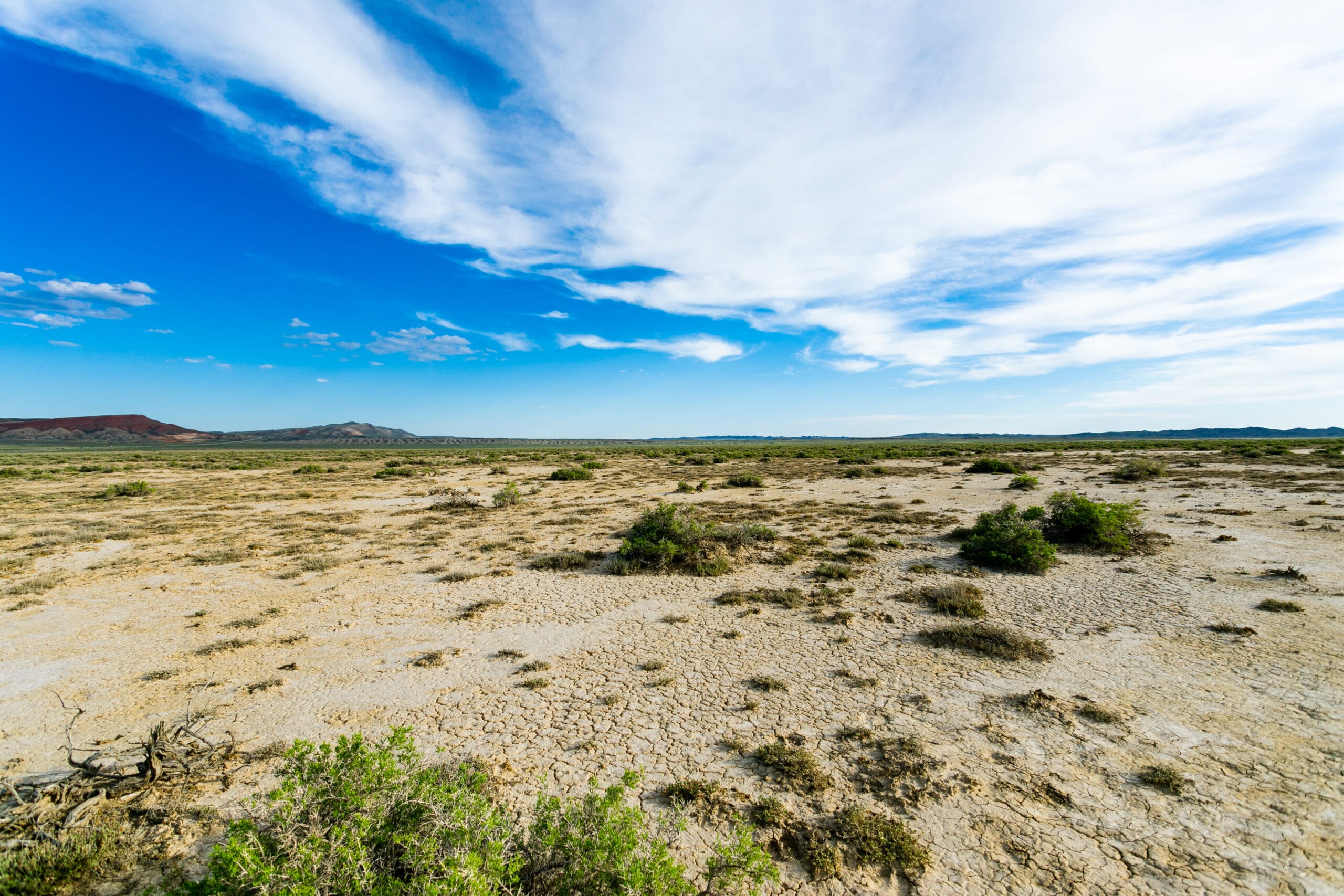
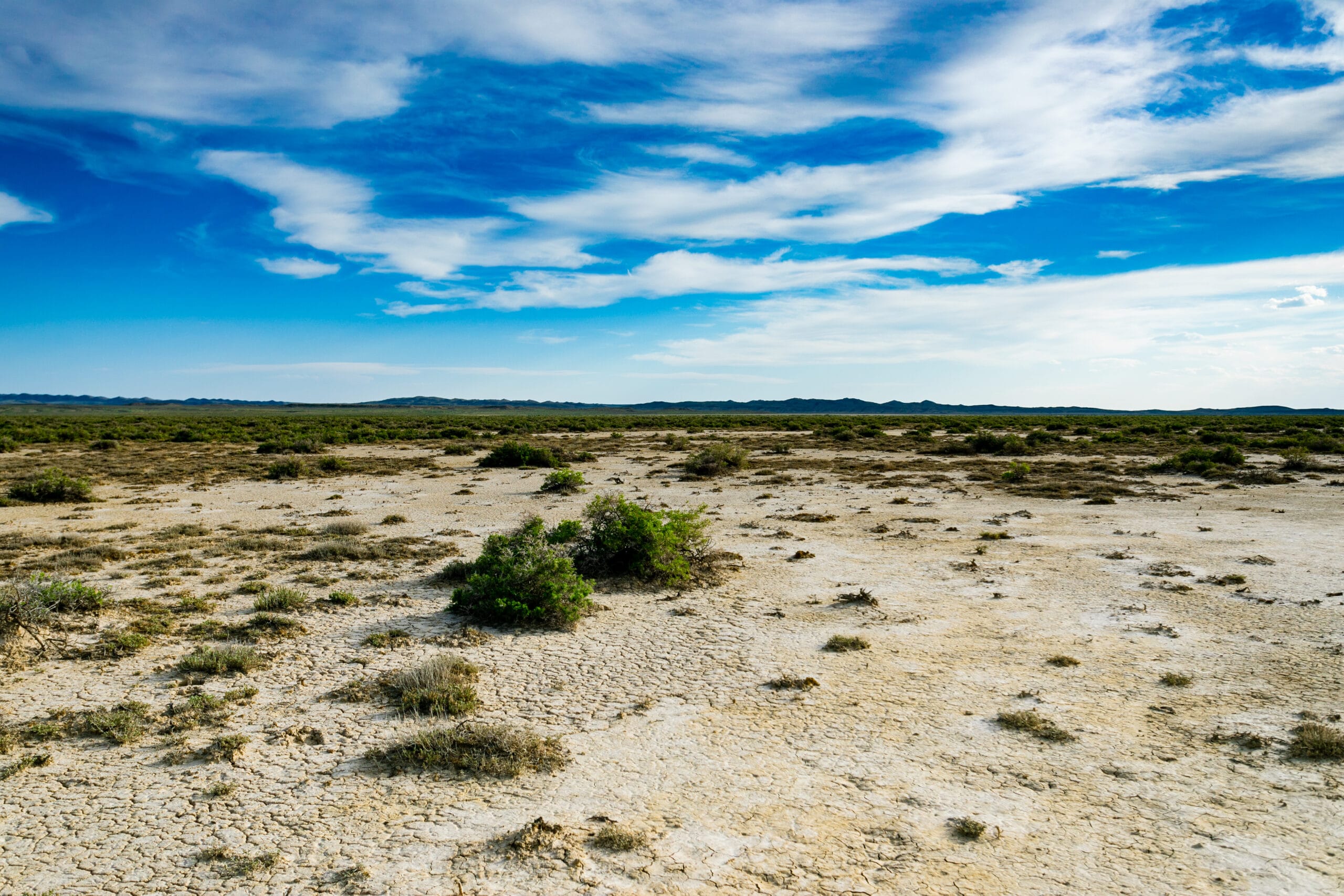
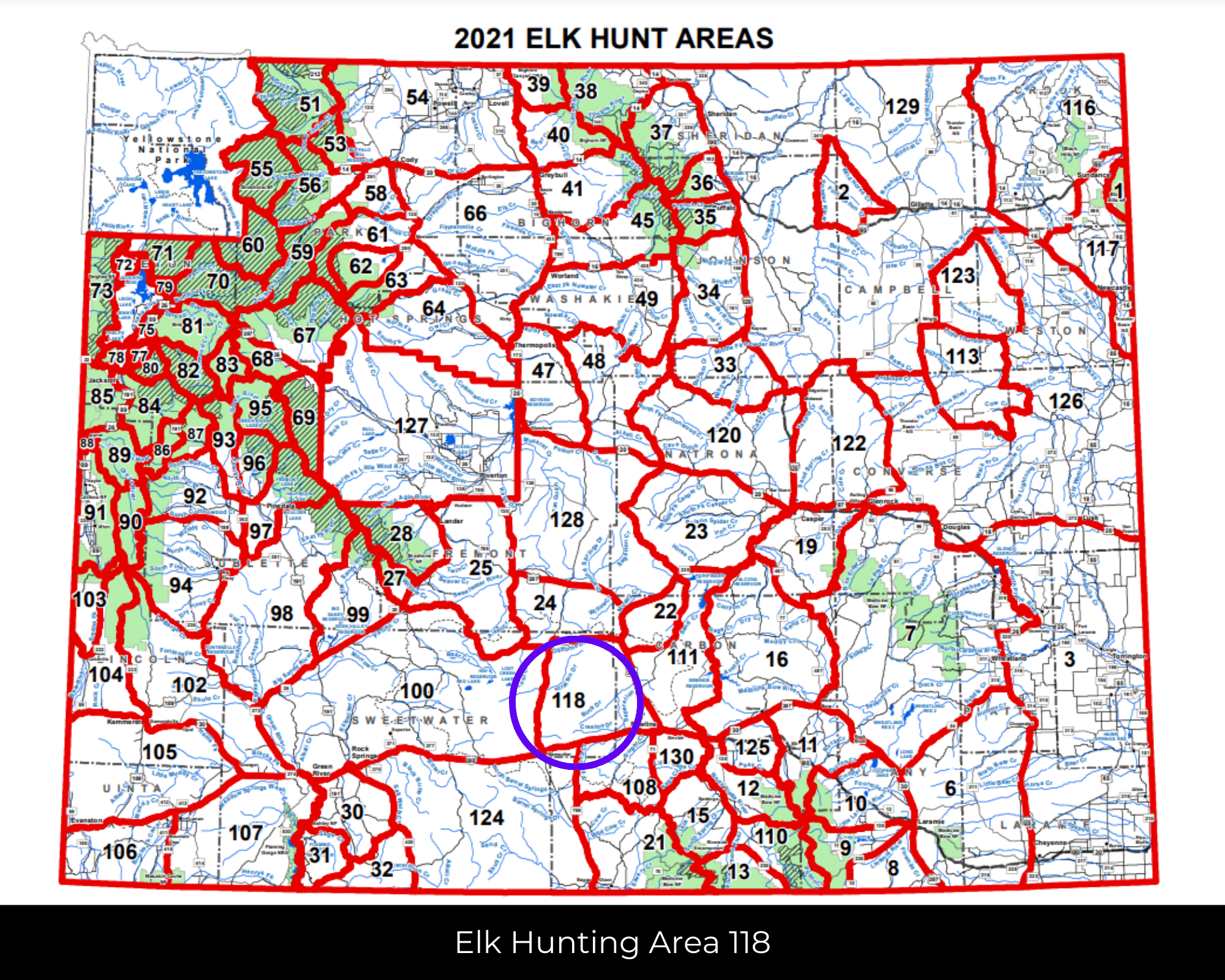
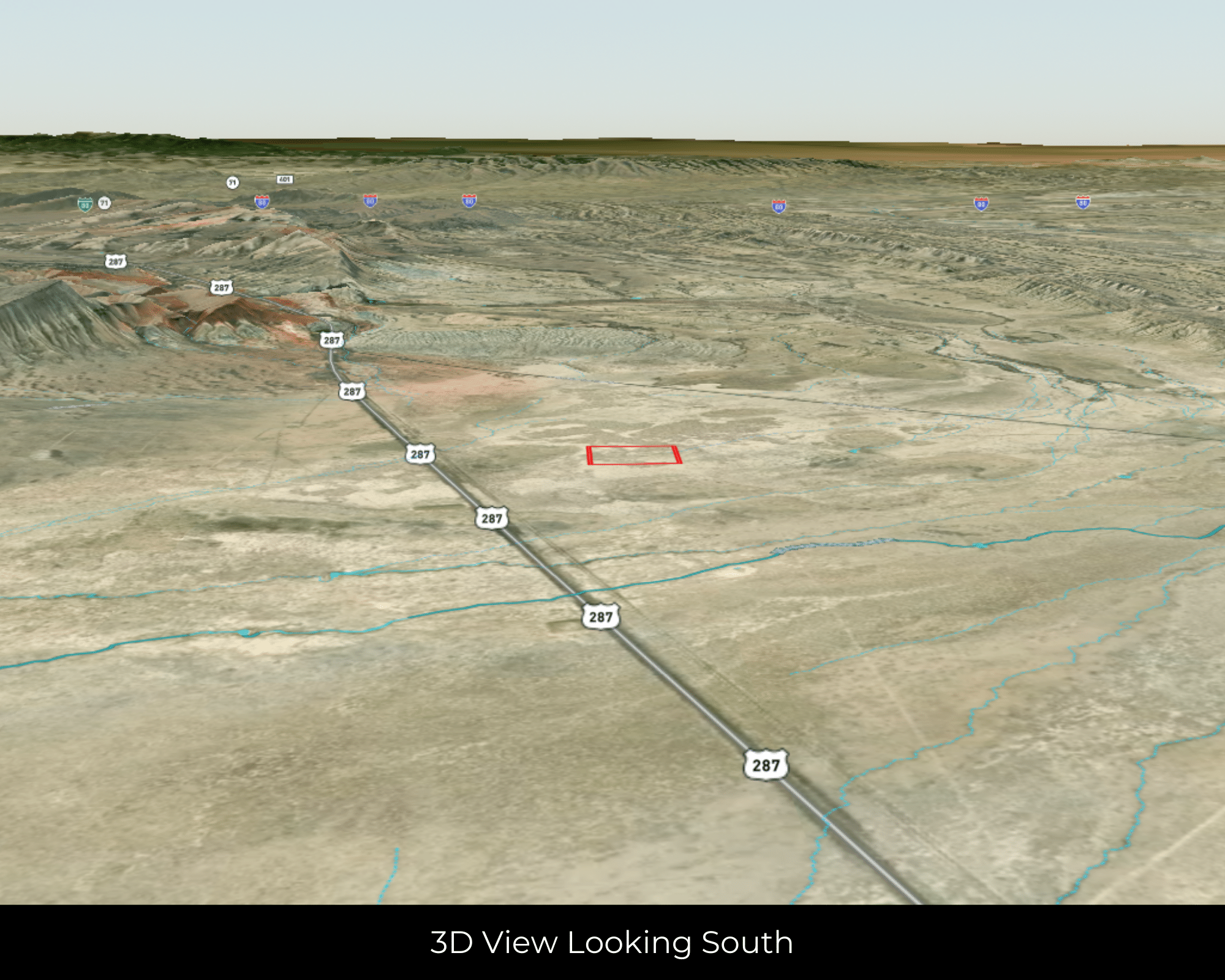
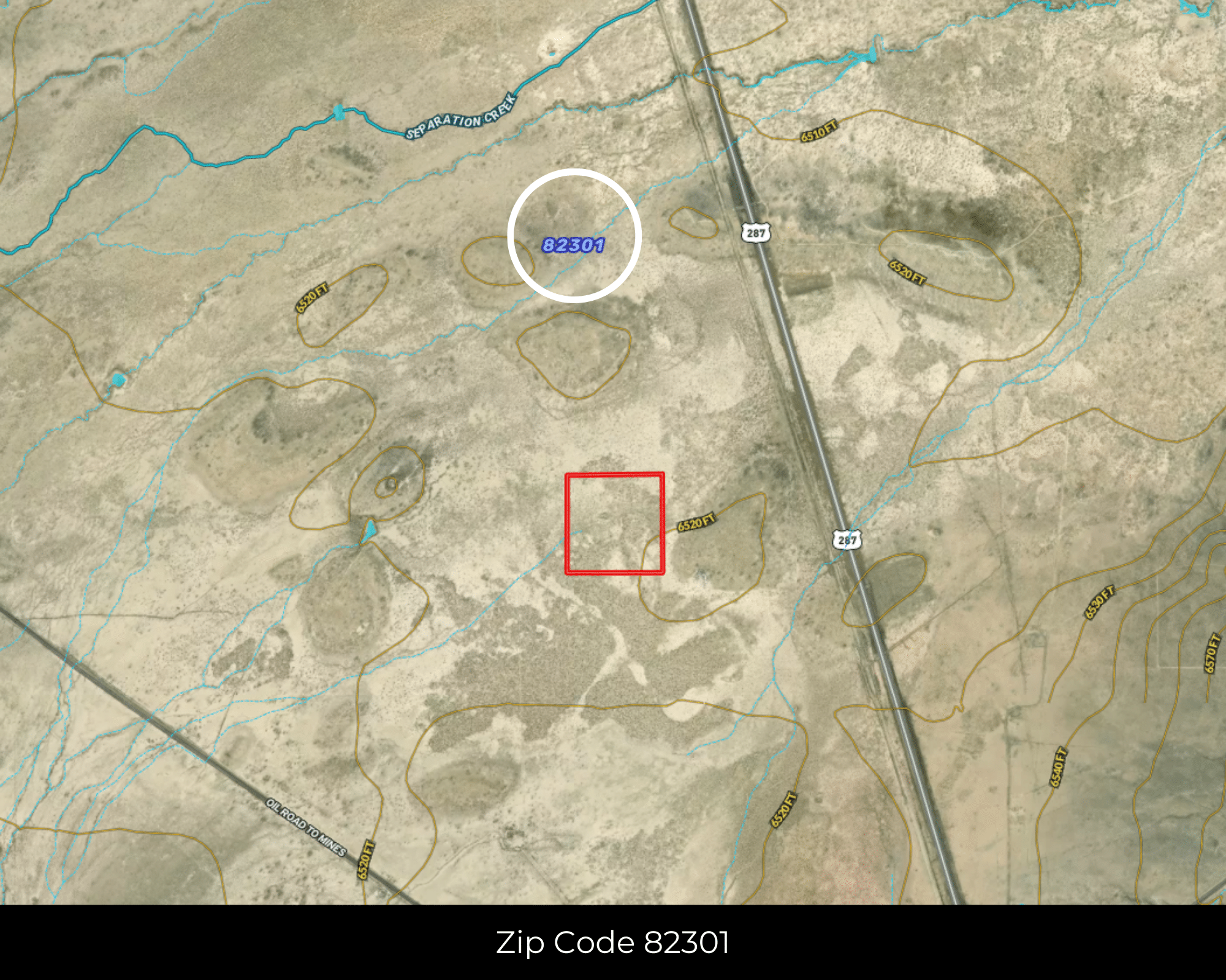
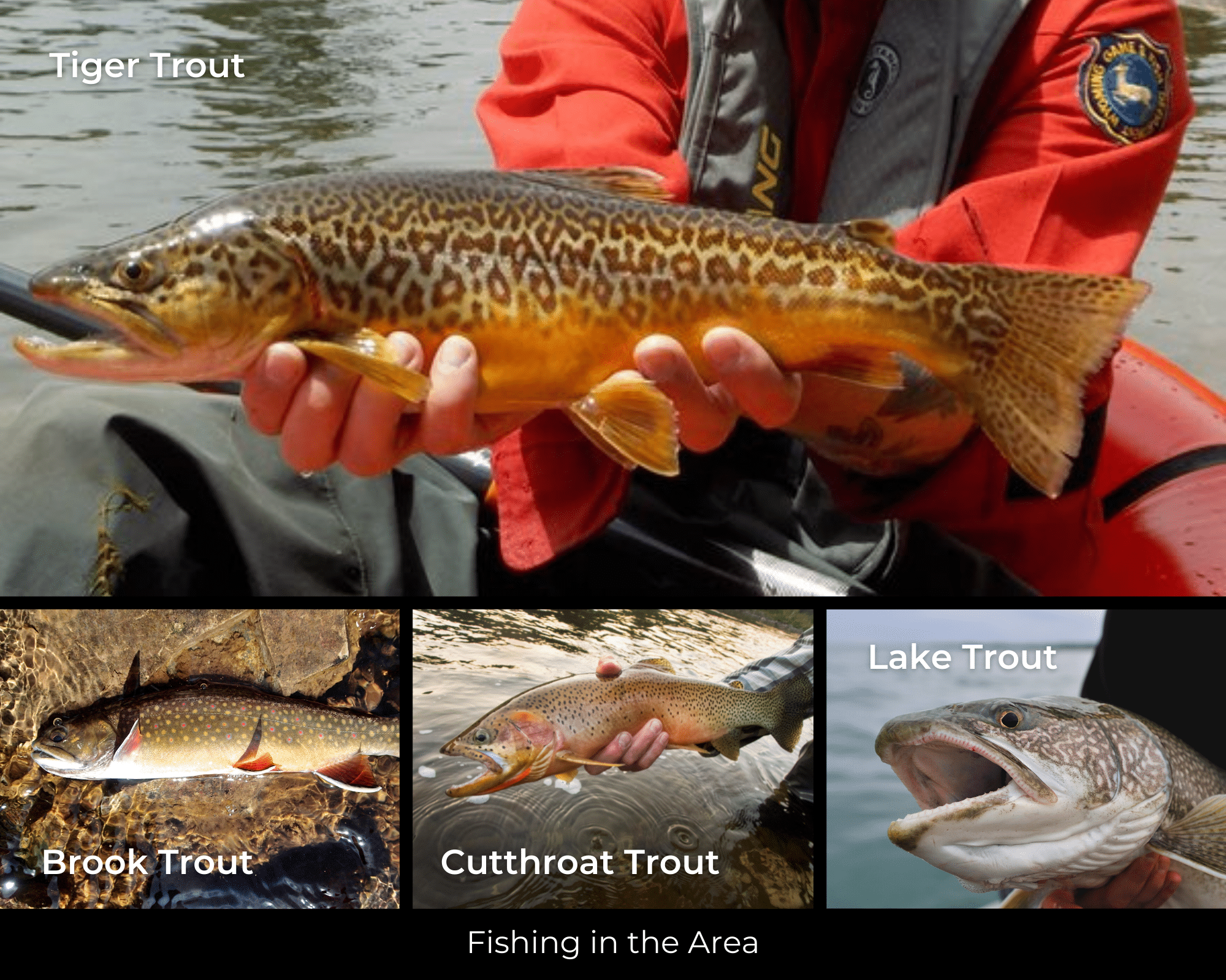
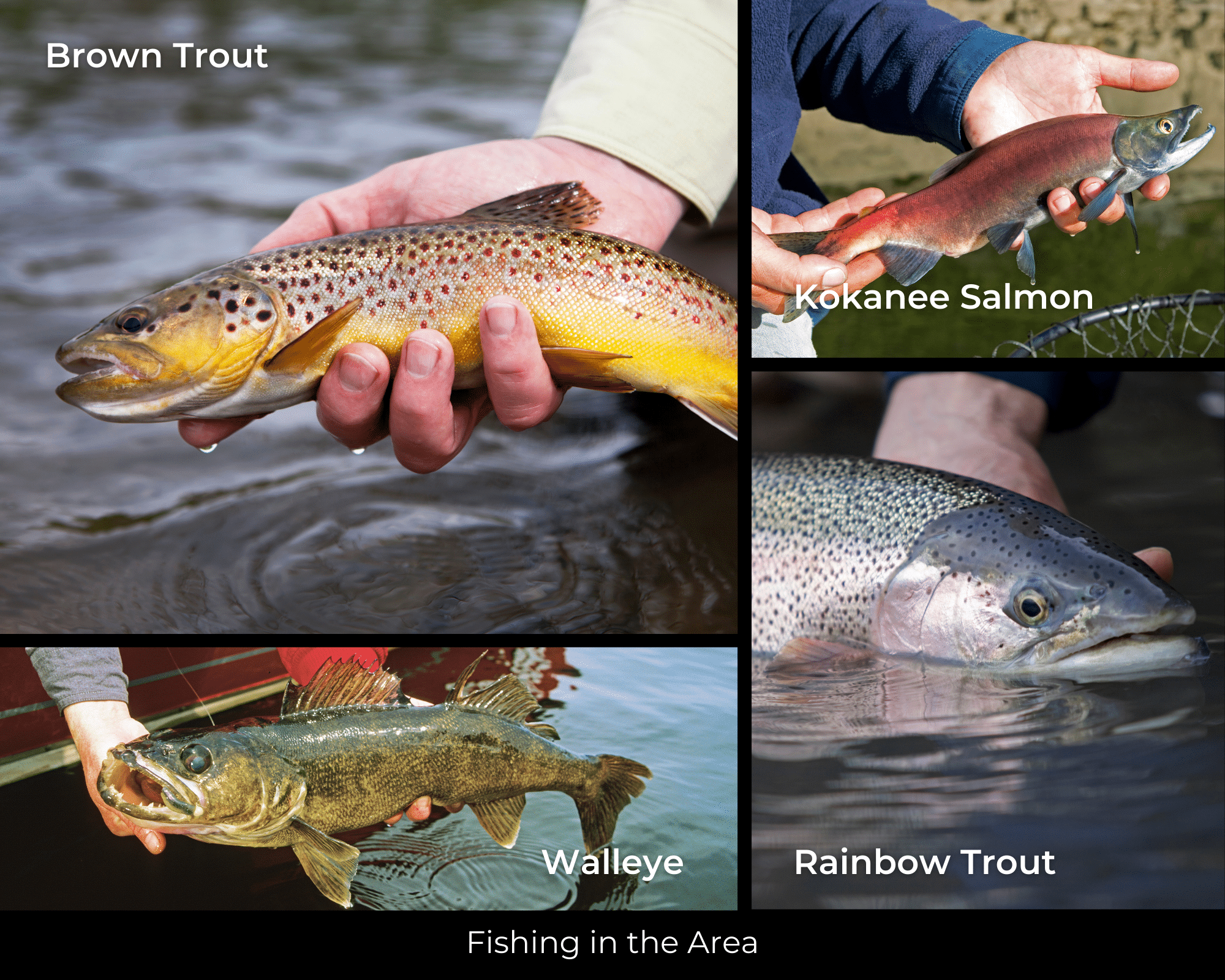
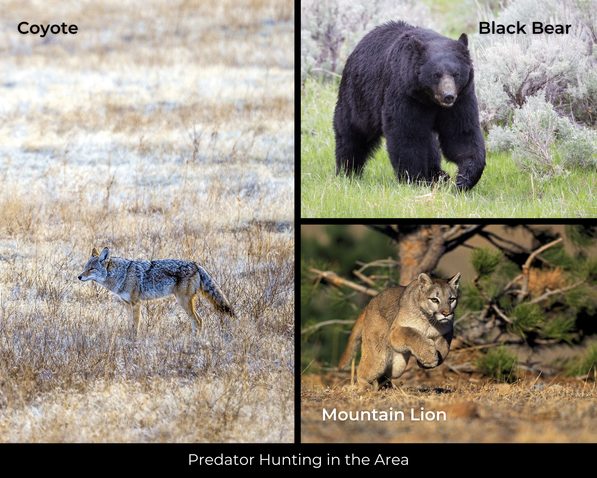
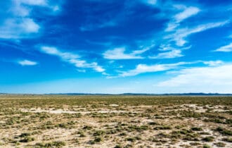
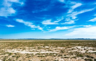
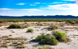
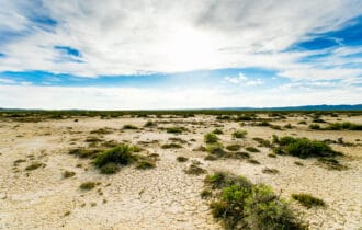
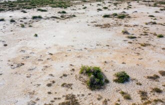
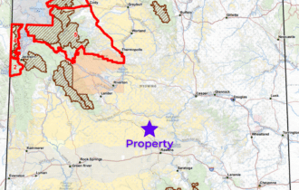
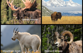
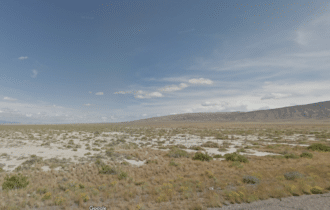
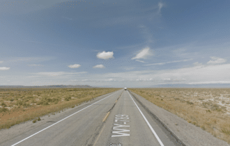
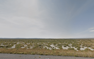
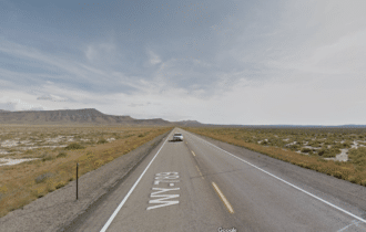
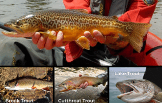
Leave restrictions behind and discover freedom on this 40-acre lot just 17 miles north of Rawlins. This property has uninterrupted views in every direction and no nearby neighbors. BLM land is just 3/4 mile to the east on the other side of paved Highway 287 and an easy half-mile walk or ATV ride to the west. Build your off-grid ranchette here or use this land as your private campsite. This would be an excellent location for an annual hunting camp with pronghorn, mule deer, and elk in the area.
Rawlins is a small town with just 8,400 residents, but because it is the Carbon County seat and has easy access from I-80 you will find plenty of shopping options and services here. You can get your basic supplies at Walmart or Tractor Supply in town, or shop at one of the smaller local businesses. The town has beautiful, well-maintained municipal parks, perfect for strolling on a sunny afternoon. Spend the sunny summer days exploring Devil’s Gate, Independence Rock, and Split Rock nearby. Bring your clubs because the town has three golf courses where you can practice your swing. Be sure to bring your winter gear if you make this your new year-round home because temperatures can fall well below zero during the winter months. When the cold temperatures drive you inside, you can spend the day exploring one of the town’s nine museums.
This 40-acre lot is competitively priced and located conveniently close to town, so it will not last long. Contact me today for more information.
Property Video
Visiting the Property
You are welcome to visit the property at your convenience and anytime while it's still available. However, we HIGHLY recommend checking-in with us prior to visiting the property in case the property has gone under contract (or sold).
The interactive map above is generated with MapRight. MapRight has free apps for Apple and Android that can be used to track your location and route throughout a property and provide driving directions.
MapRight for Apple –> Download App.
MapRight for Android –> Download App.
To launch the interactive map on your device, 1) install the free MapRight app using one of the two links above for Apple or Android, and 2) click the “View Full Screen” link (see above) in the embedded map on property listing page.
Property Information
Parcel Size
40 Acres
State
Wyoming
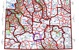
County
Carbon
Nearest Cities
Rawlins
Parcel #
R0017743
Address
00 287, Rawlins, WY 82301
Legal Description
NW 1/4, SE 1/4 of Section 31, Township 24 North, Range 88 West of the 6th Principal in Carbon County, Wyoming
Zip Code
82301
Annual Property Taxes
$44.96
HOA
No
Survey Available
No
Liens and Back Taxes
None!
Title Status
Free & Clear!
Conveyance
General Warranty Deed
Property Features
Acres
40
Dimension
1262′ x 1331′
County
Carbon
Access
Yes
Power
Alternative
Water
Alternative
Coordinates
42.0065, -107.3785
Elevation
6520′
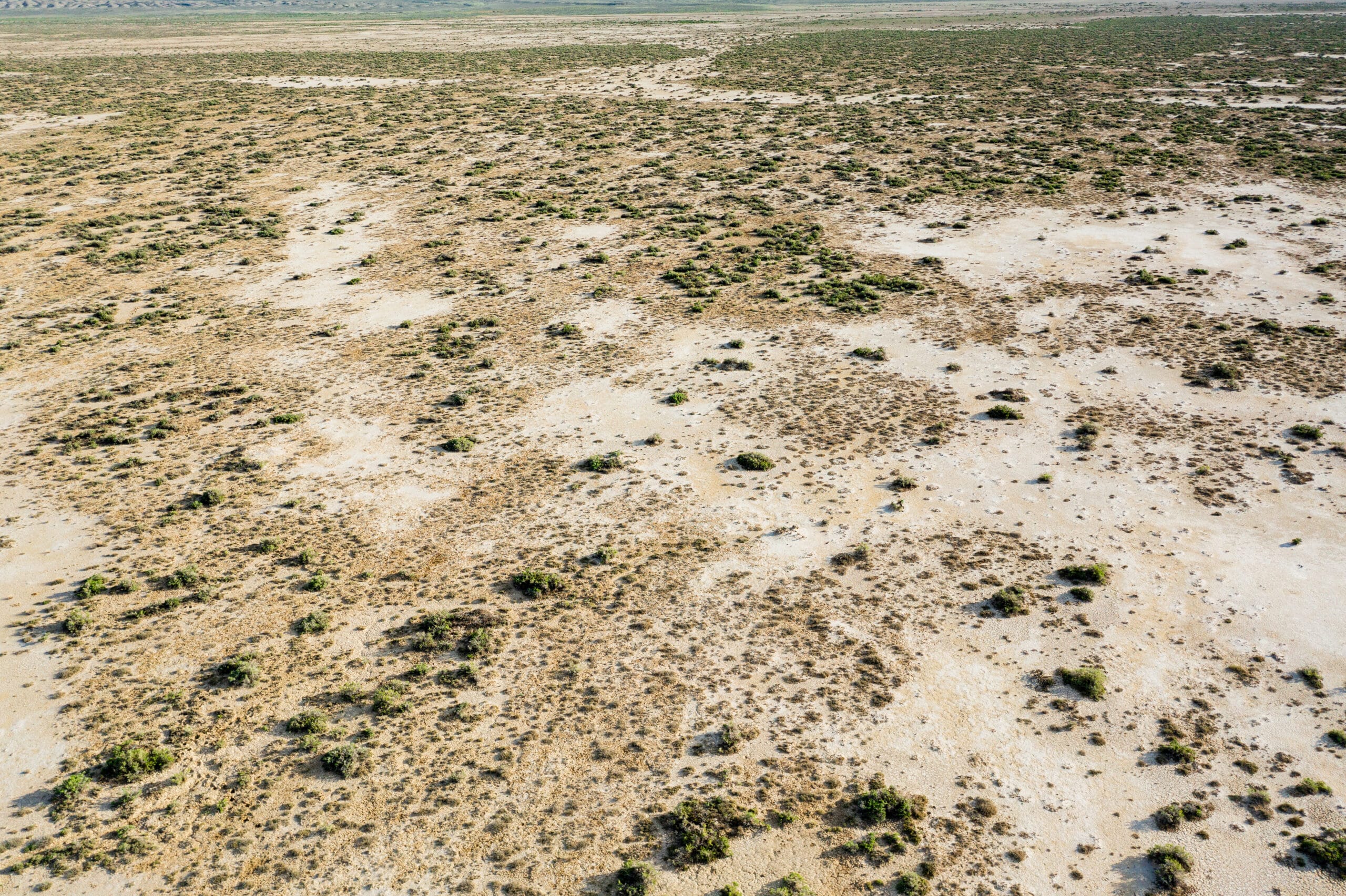
Terrain
Flat
Floodplain
No
Utilities
🔌 Power: Solar, wind, propane, or alternative energy source.
💧 Water: Water well, collection, hauling/delivery, or alternative.
🚽 Sewer: Septic or alternative sewer system.
☎️ Phone: Cellular, VOIP (see internet below), and satellite phone through Iridium, Globalstar, or Inmarsat.
🌐 Internet: Satellite internet through Starlink, HughesNet or ViaSat.
📺 Cable: Satellite cable through Dish or DirectTV.
Nearby Cities, Conveniences, and Attractions
- 19 min (16.5 miles) to Sinclair Gas Station (about)
- 20 min (16.8 miles) to Rawlins Ace Hardware (about)
- 20 min (17.4 miles) to Rawlins, WY (about)
- 21 min (17.2 miles) to City Market (about)
- 20 min (17.4 miles) to Espy Livestock
- 21 min (17.6 miles) to Walmart Supercenter (about)
- 22 min (17.8 miles) to United States Postal Service (about)
- 24 min (18.7 miles) to Memorial Hospital of Carbon County (about)
- 33 minutes (29.8 miles) to the North Platte (about)
- 57 min (57.9 miles) to Saratoga, WY (about)
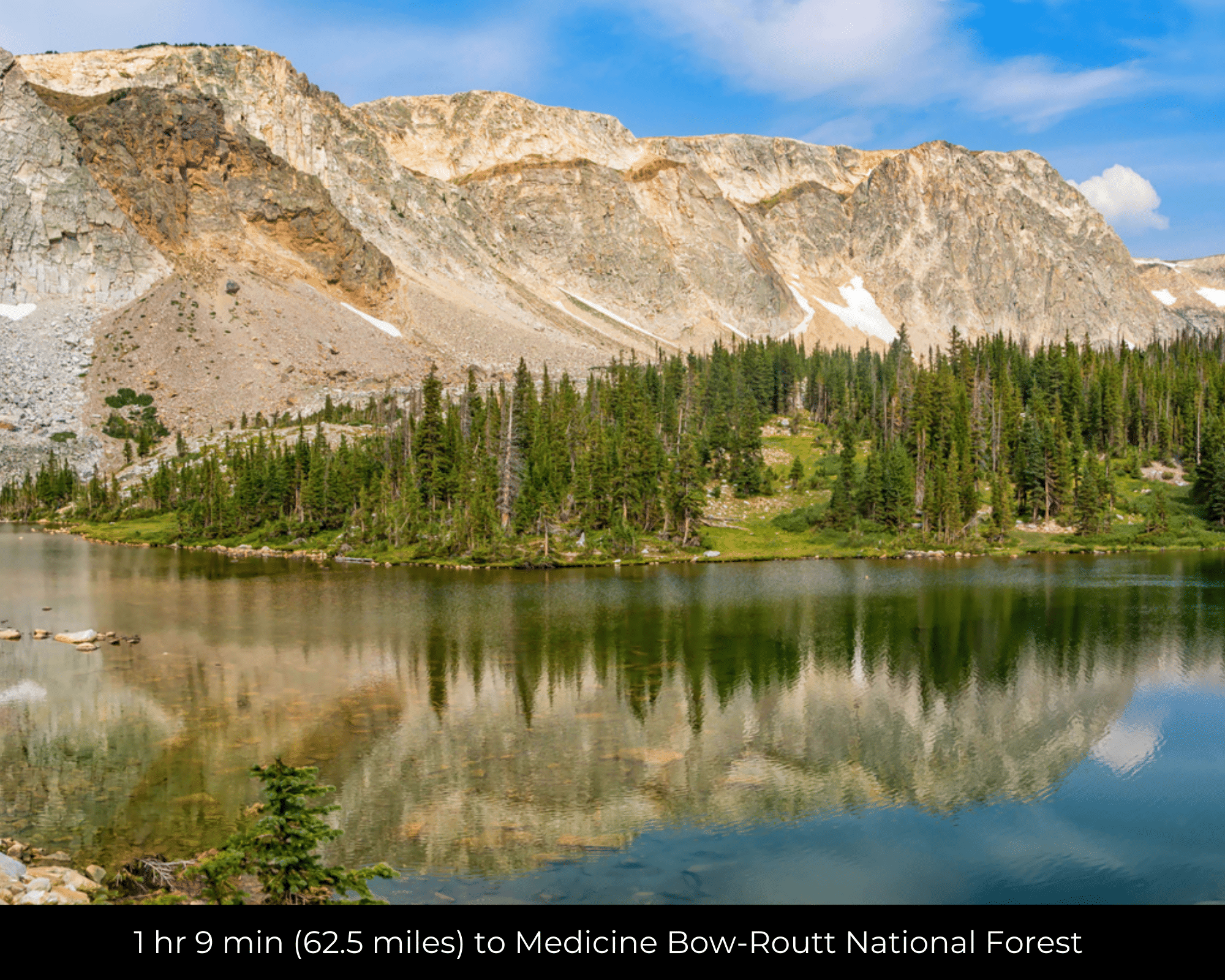
- 1 hr 9 min (62.5 miles) to Medicine Bow-Routt National Forest (about)
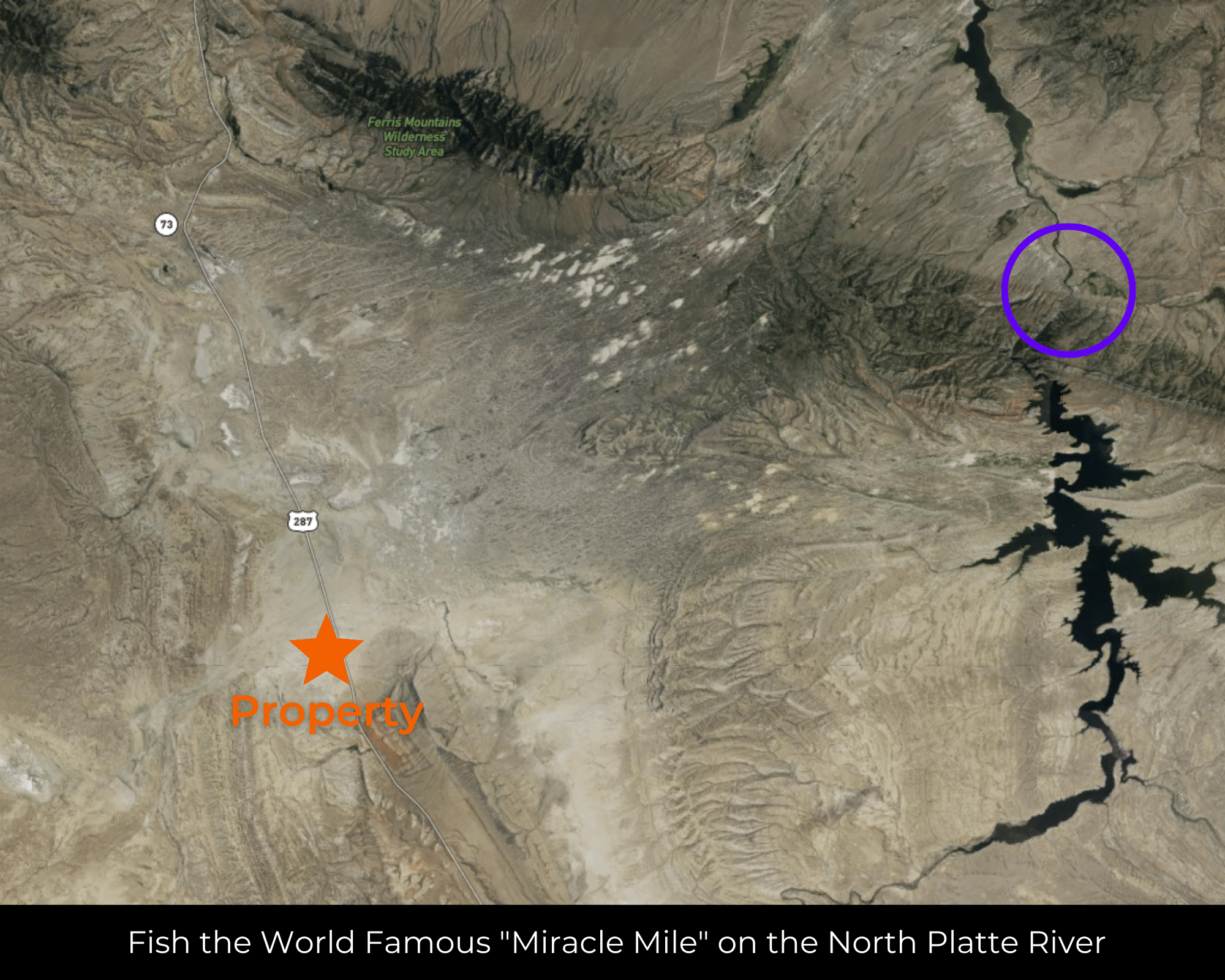
- 1 hr 12 min (58.5 miles) to the “Miracle Mile” (about)
- 1 hr 13 min (56.0 miles) to Pathfinder National Wildlife Refuge (about)
- 1 hr 40 min (101 miles) to Casper, WY (about)
- 1 hr 49 min (115 miles) to Laramie, WY (about)
- 1 hr 56 min (125 miles) to Rock Springs, WY (about)
- 2 hr 7 min (140 miles) to the Green River (about)
- 2 hr 26 min (75.8 miles) to Seminoe Reservoir (about)
- 2 hr 37 min (165 miles) to Cheyenne, WY (about)
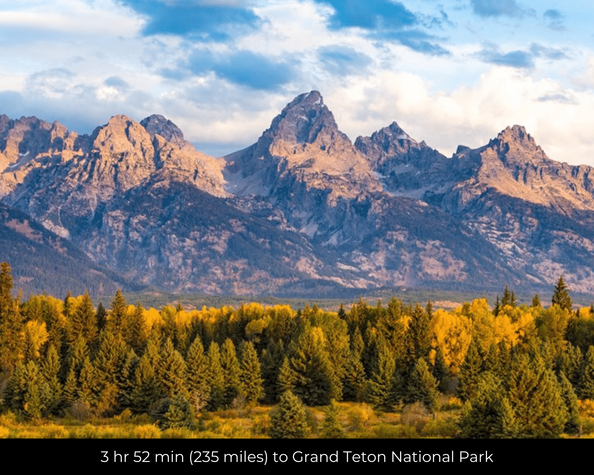
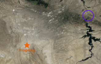
- 3 hr 52 min (235 miles) to Grand Teton National Park (about)
- 3 hr 57 min (244 miles) to Denver, CO (about)
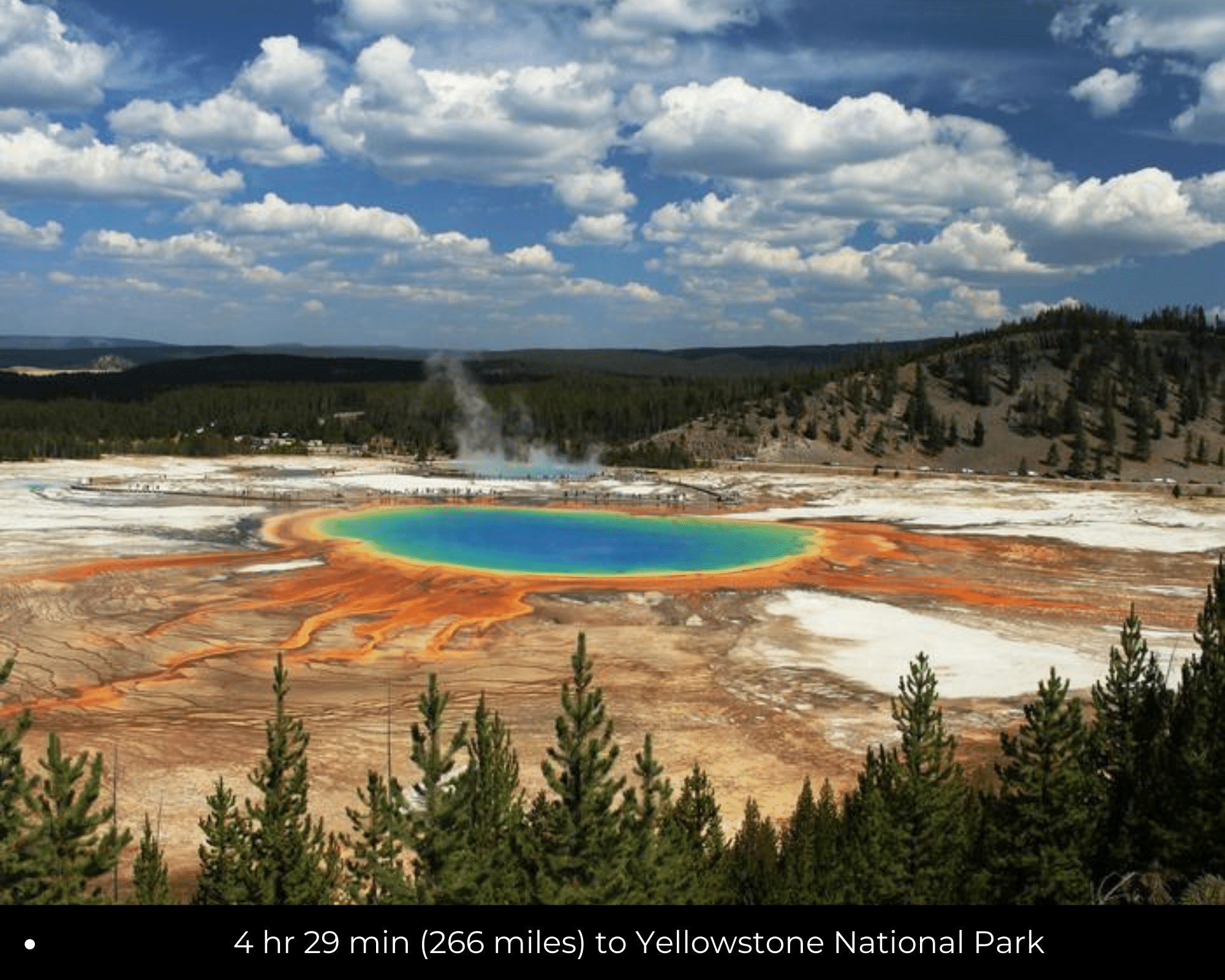
- 4 hr 29 min (266 miles) to Yellowstone National Park (about)
- 4 hr 31 min (267 miles) to Jackson, WY (about)
County Contacts
Carbon County Assessor 307-328-2714 (website)
Carbon County Treasurer 307-328-2633 (website)
Carbon County Clerk 307-328-2677 (website)
Carbon County Zoning 307-328-2651 (website)
Carbon County Environmental Health Department 307-328-2607 (website)
Carbon County GIS (website)
Closing Costs and Fees
$299
Document Prep Fee
Buyer will pay a $299 document preparation fee, which includes postage and county recording fees.
$0
In-House Closing Fee
There will be no additional fees for an in-house closing. We typically close in-house in 21 days or less.
$1,500+
Title Co Closing Fee
Title Company costs are typically 2-5% of the purchase price with a minimum fee of around $1,500.
If Buyer elects to close through a third-party title company, Buyer will bear all closing costs and expenses, including Seller’s title policy and Seller's escrow fees. Closing through a title company typically takes 30-45 days, depending on the county and title company.
Driving Directions and GPS Coordinates
🚗 Driving Directions: own of Sinclair to the Property GPS Center Coordinates: Head south toward Buzzard Rd. Continue onto Buzzard Rd. Turn right onto US-287 S. Turn left onto US-287 BYP S/N Higley Blvd (signs for US-287 Bypass). Turn left onto I-80BL/E Cedar St. Use the left lane to take the ramp onto I-80 E. Take exit 221 toward I-80. Turn left onto WY-76 W. Turn left to merge onto I-80 W.
📍 Northwest Corner: 42.008300, -107.380700 (Google Map)
📍 Northeast Corner: 42.008400, -107.376000 (Google Map)
📍 Southeast Corner: 42.004801, -107.376000 (Google Map)
📍 Southwest Corner: 42.004800, -107.380701 (Google Map)
📍 Center Point: 42.006598, -107.378247 (See embedded Google Map below 👇.)
Google Map
If you click the blue Directions link below, 👇 you can get Google turn-by-turn directions to the property on any device. The map coordinates for the Google Map below are for the center of the property and not the entrance, gate, or primary access point for the property. Google Maps may provide driving directions that require the use of private or abandoned roads or may require you to go through gates. Please do not trespass on private property. Some properties will require a 4-wheel drive vehicle or may be inaccessible in certain weather conditions. Please don't get stuck or lost.
Additional Notes
As-Is and As-Available: This property is being sold property “as-is” and “as-available.” No representations as to fitness for a particular purpose have been made. No verbal claims or promises have been made. Please see our Terms of Service for more information.
Contract: After making your initial deposit, we will email you the purchase and sale agreement, which includes a special warranty deed. Contracts are manually prepared and will be sent out Monday through Friday between 9 AM and 5 PM CST.
No Monthly Payments: We are not offering seller financing on this property. This is an all-cash transaction. We are not offering a payment plan. If you would like to finance your purchase of the property, please contact a third-party lender prior to making your deposit. We will not sign a purchase and sale agreement that is contingent upon third-party financing without a pre-approval letter.
3% Buyer's Agent Commission: You are not required to have an agent or broker assist you with purchasing this property. However, if the Buyer does use an agent, and the Seller is made aware of this prior to an agreement on price or signed contract, the Seller will pay a 3% commission to the Buyer's licensed agent or broker.
Maps and GPS Coordinates: Maps and GPS coordinates are believed to be accurate, but accuracy is not guaranteed. The information contained in the maps should not be considered a “legal description,” and the maps and GPS coordinates are not a replacement for a survey. Unless noted above we do not have a survey for this property. We have taken reasonable steps to ensure that parcel lines, maps, and coordinates are in fact accurate, but third-party geographical information system (GIS) providers, including information from the county, often contain errors and inaccuracies, and we do not want to make incorrect assumptions.
🕵️ Still looking for land in Texas?
⭐ Please take a look at our other remarkable properties 👉 HERE!