
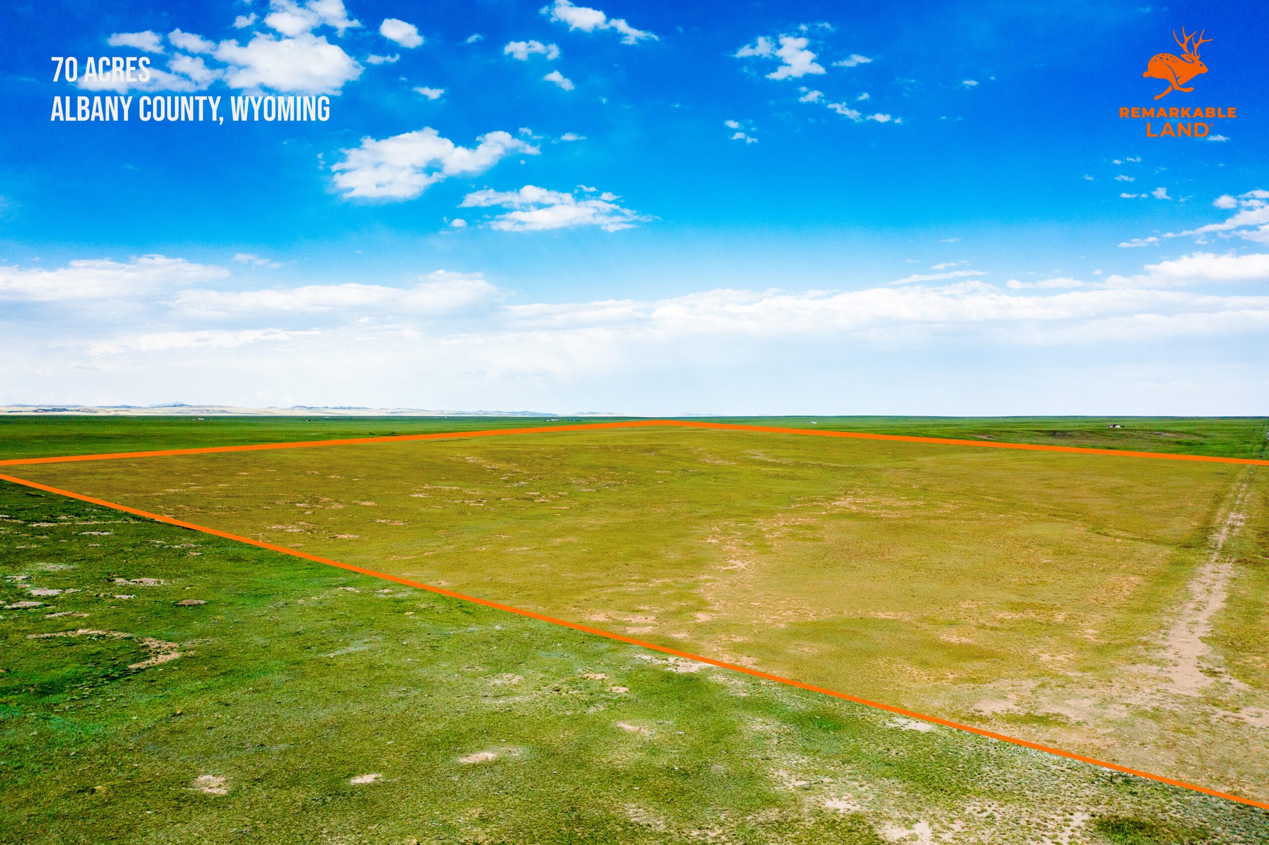


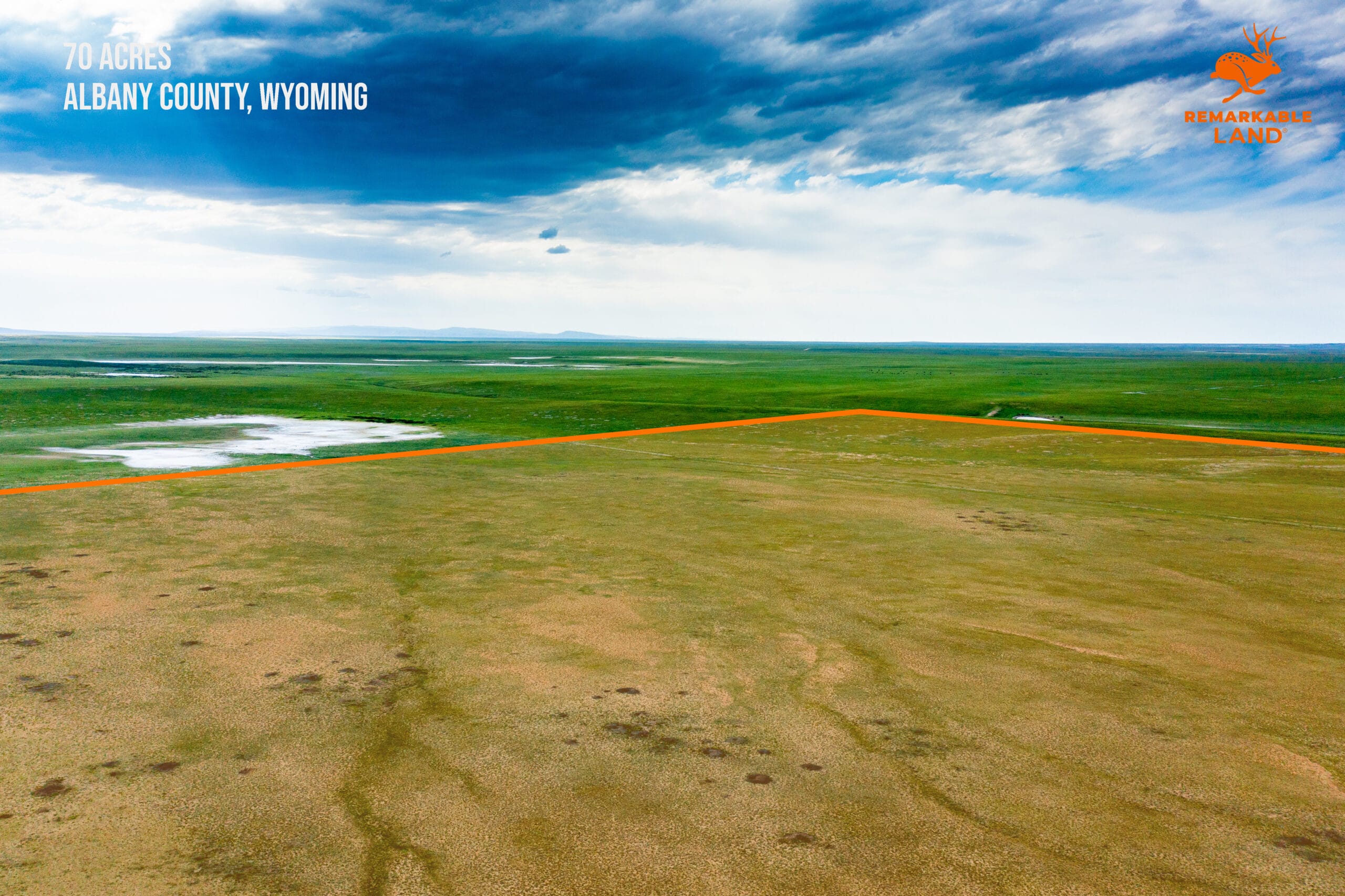
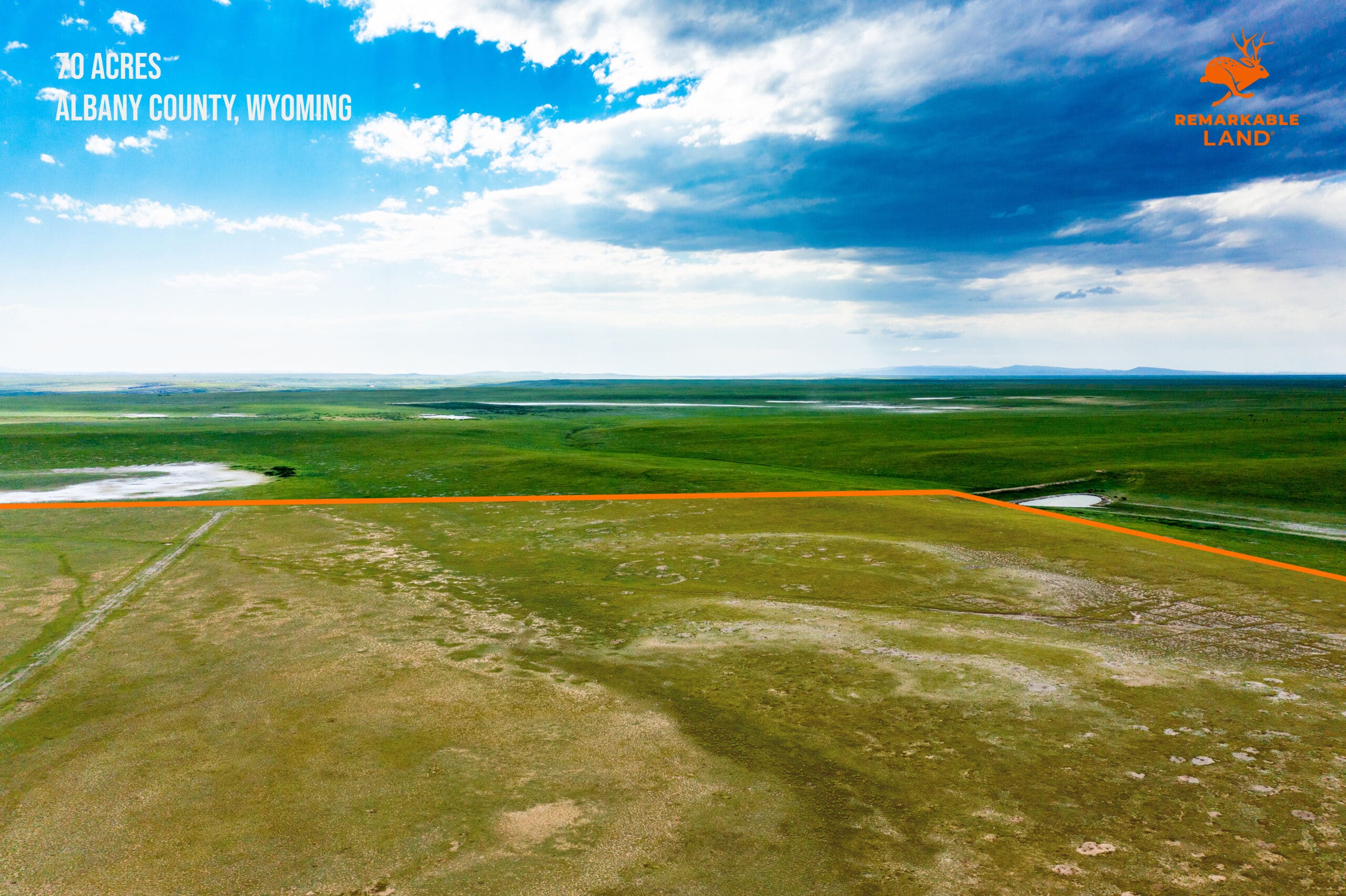

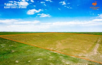


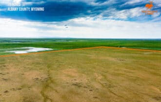

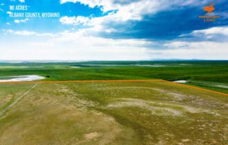
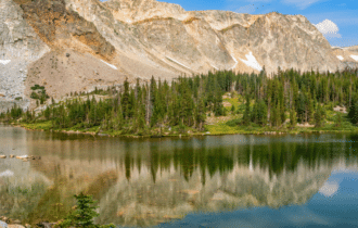
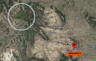

SOLD: 70 Acre Hunting Camp near Laramie, WY
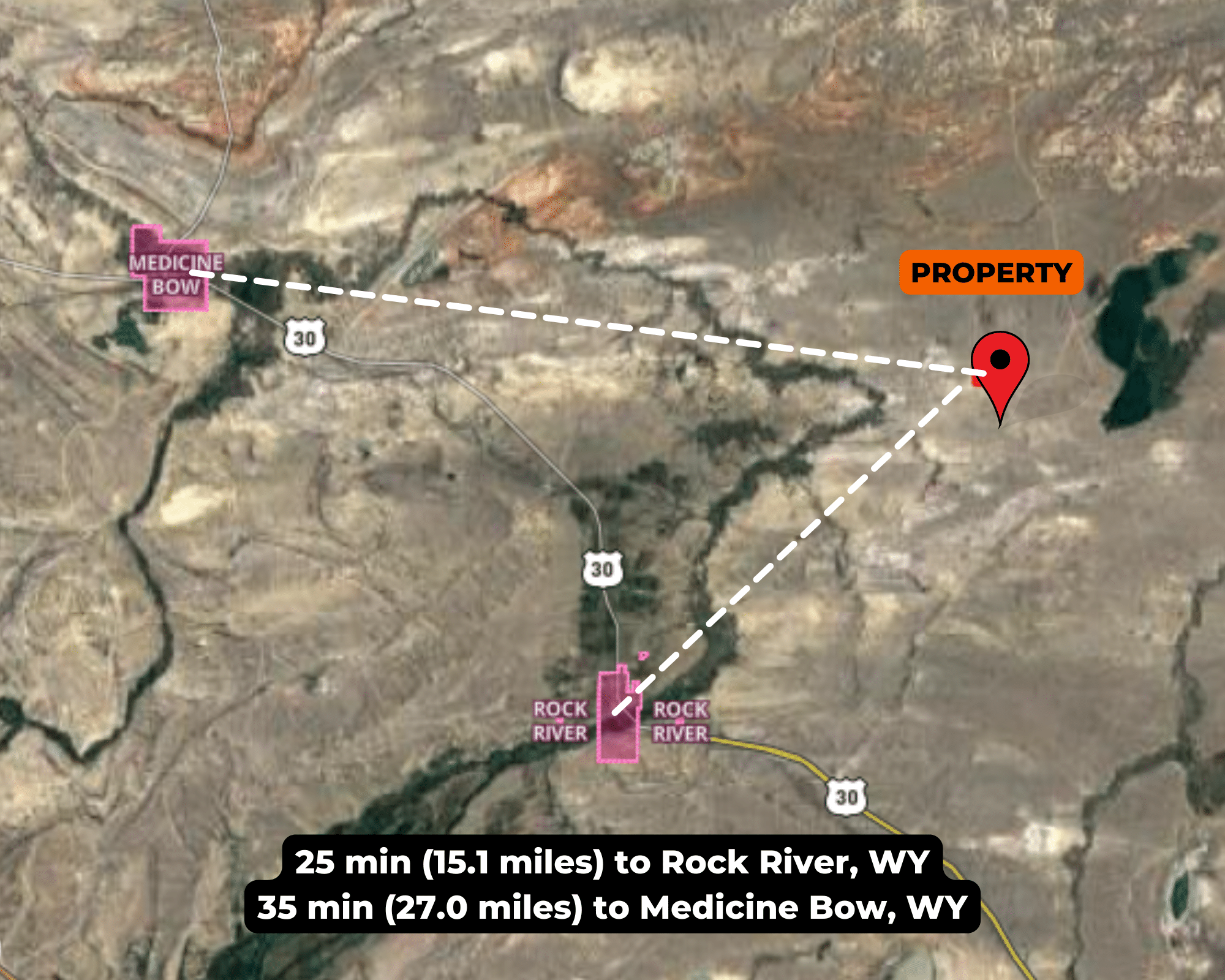
26 miles from Rock River, WY
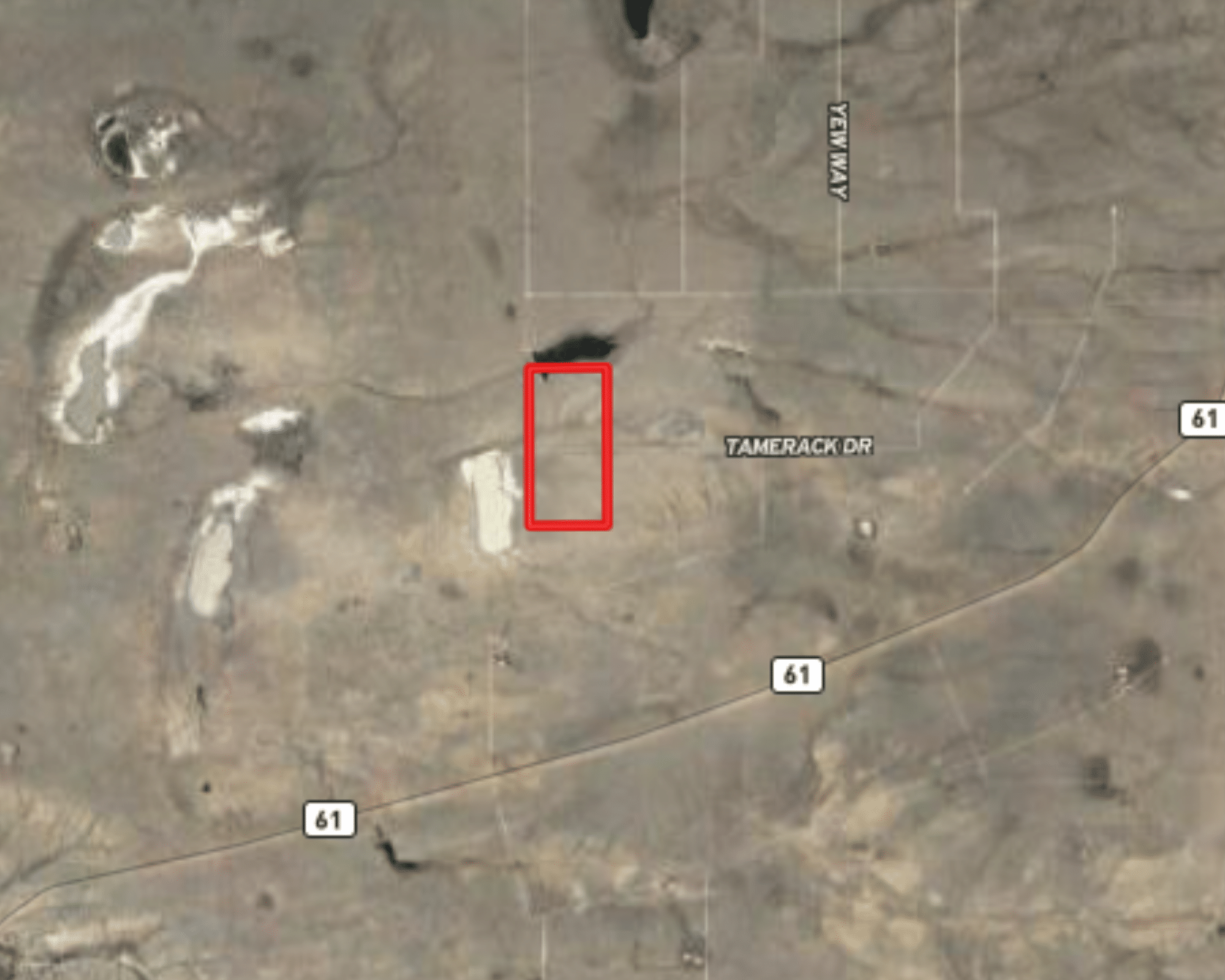
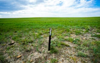
APN# 05-2275-23-3-01-077.00
Payment Options

Payment Notes:
🛑 CASH ONLY! No payment options are available for this property.
How to Purchase: Please click the orange “RESERVE NOW” button above ☝️ to make your secure deposit payment via credit card or debit card. Once you’ve completed checkout, we will both receive instant email notification of your deposit, and the deposit will be credited towards the cash price at closing. Properties are sold on a “first deposit, first sold” basis. The remaining balance will be due via wire transfer.
$199 Option Fee: All property deposits are subject to a NON-REFUNDABLE $199 OPTION FEE. Please see our Refund Policy for more information. The Buyer will have up to seven (7) days to sign the contract.
Call or Text: Call or Text us anytime at 855-833-LAND (855-833-5263) with questions or to purchase this property.
Paying a 4% Buyer's Agent Commission!
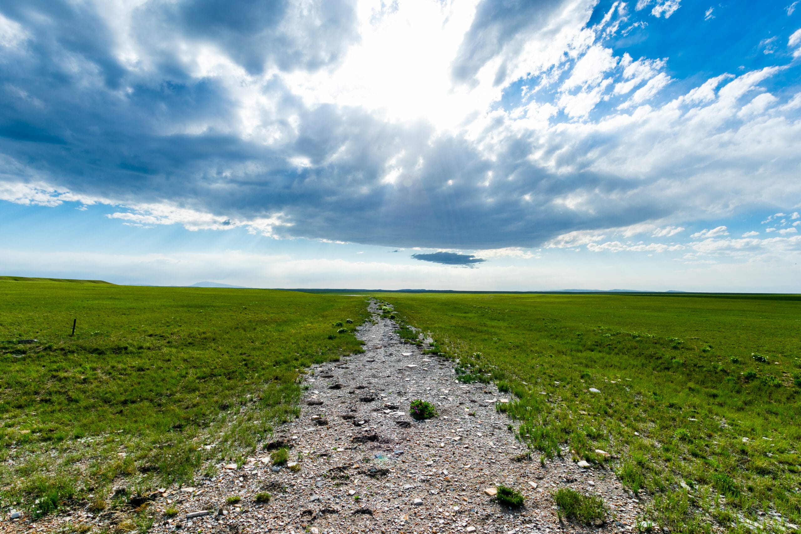
Property Description
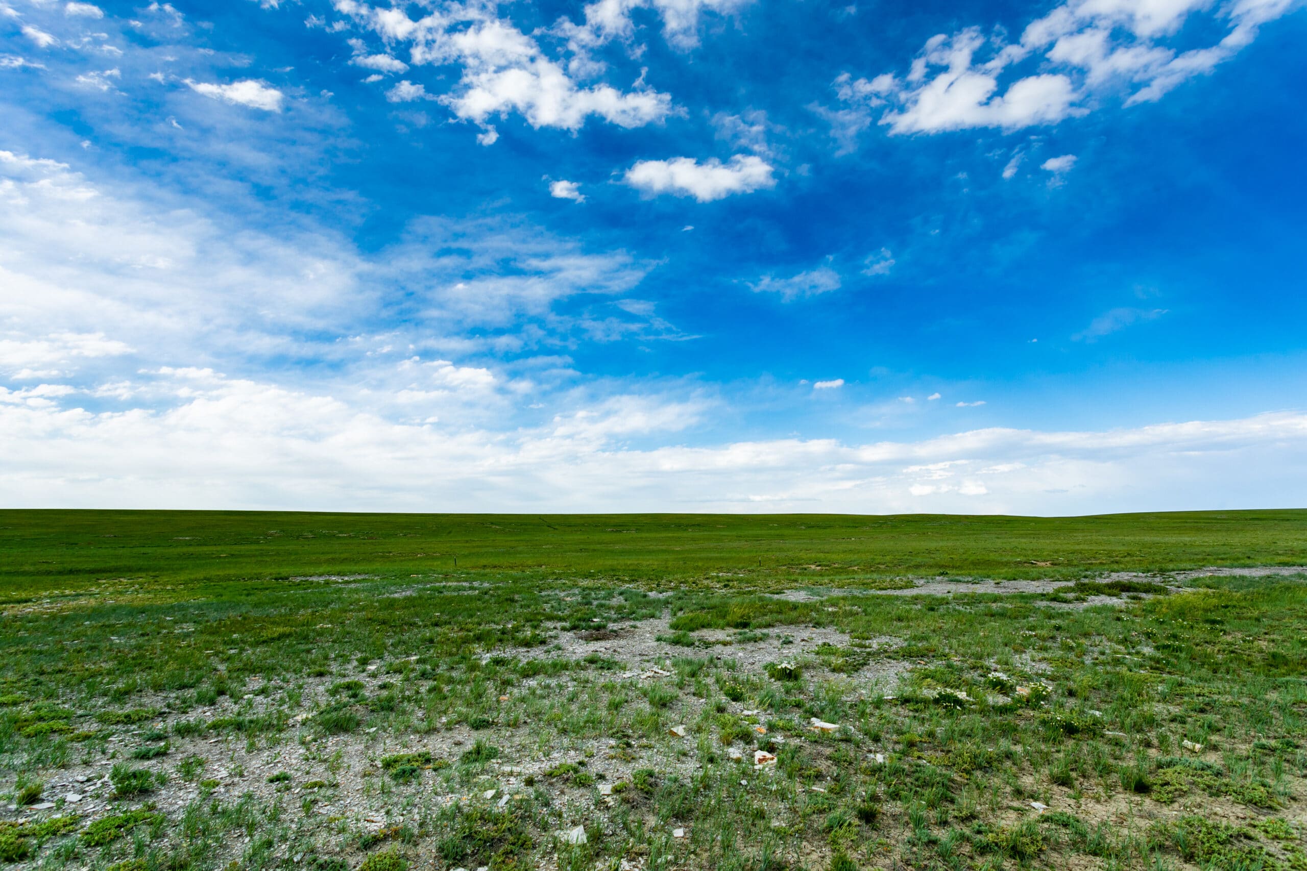
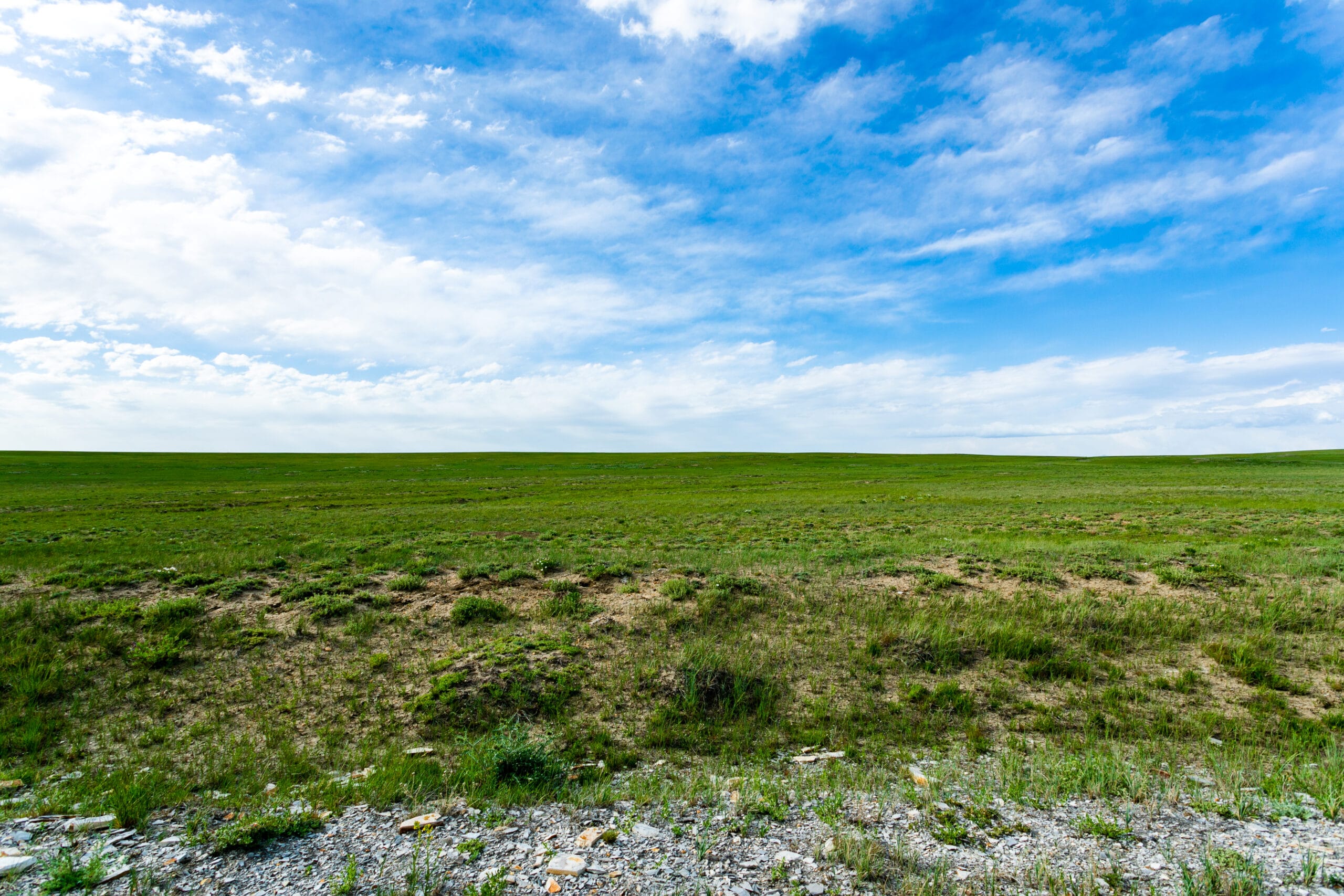
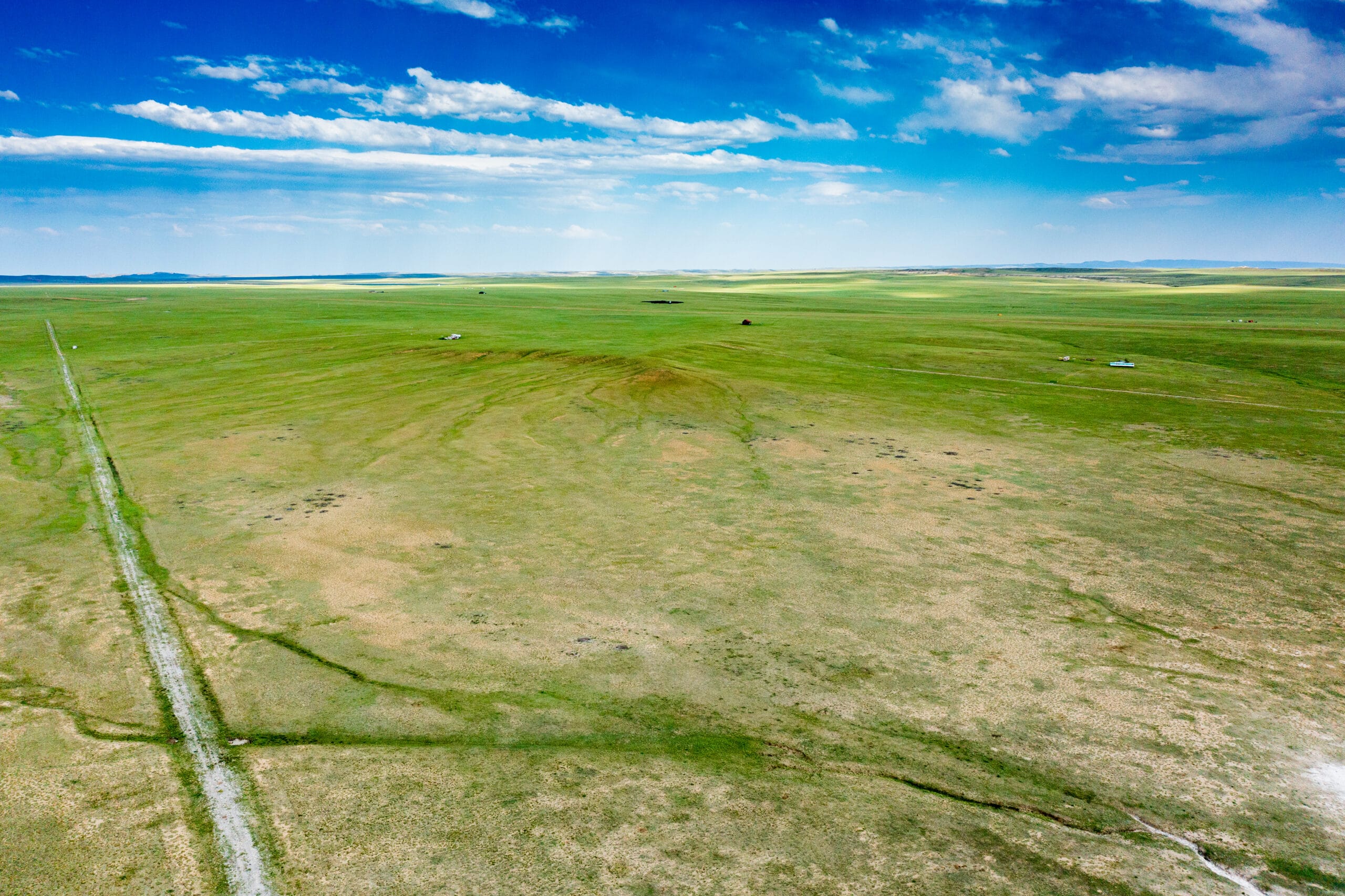
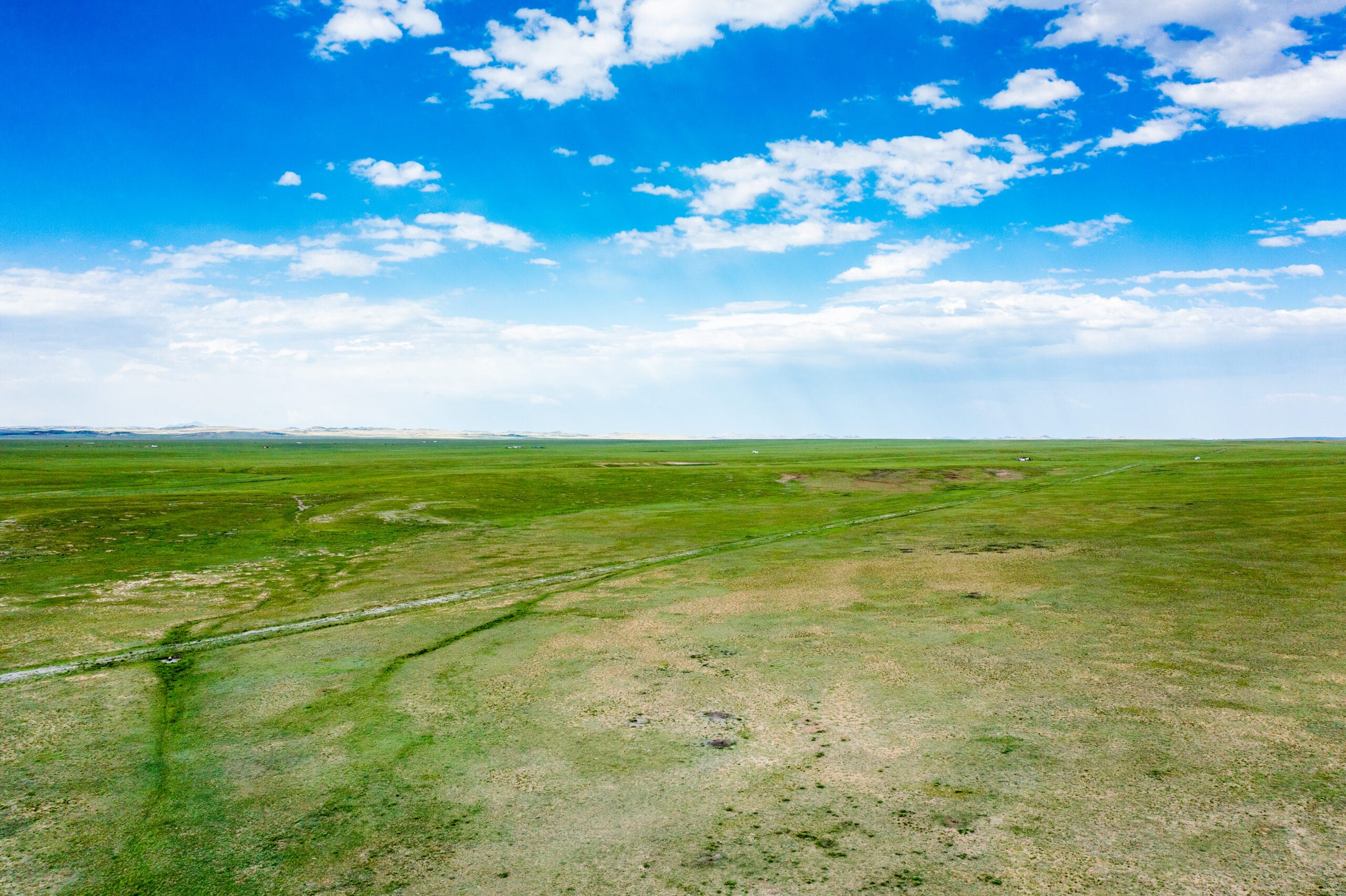
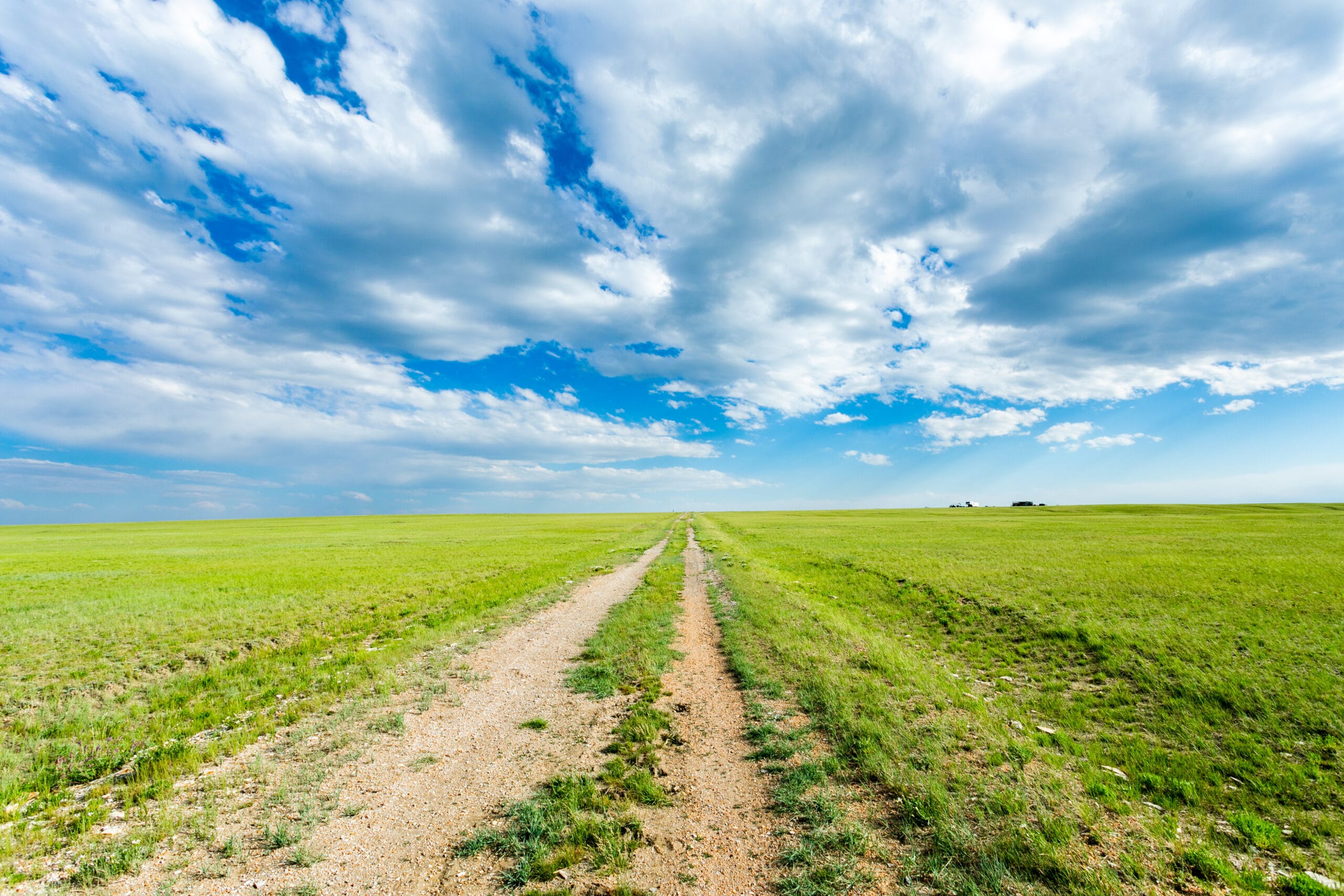
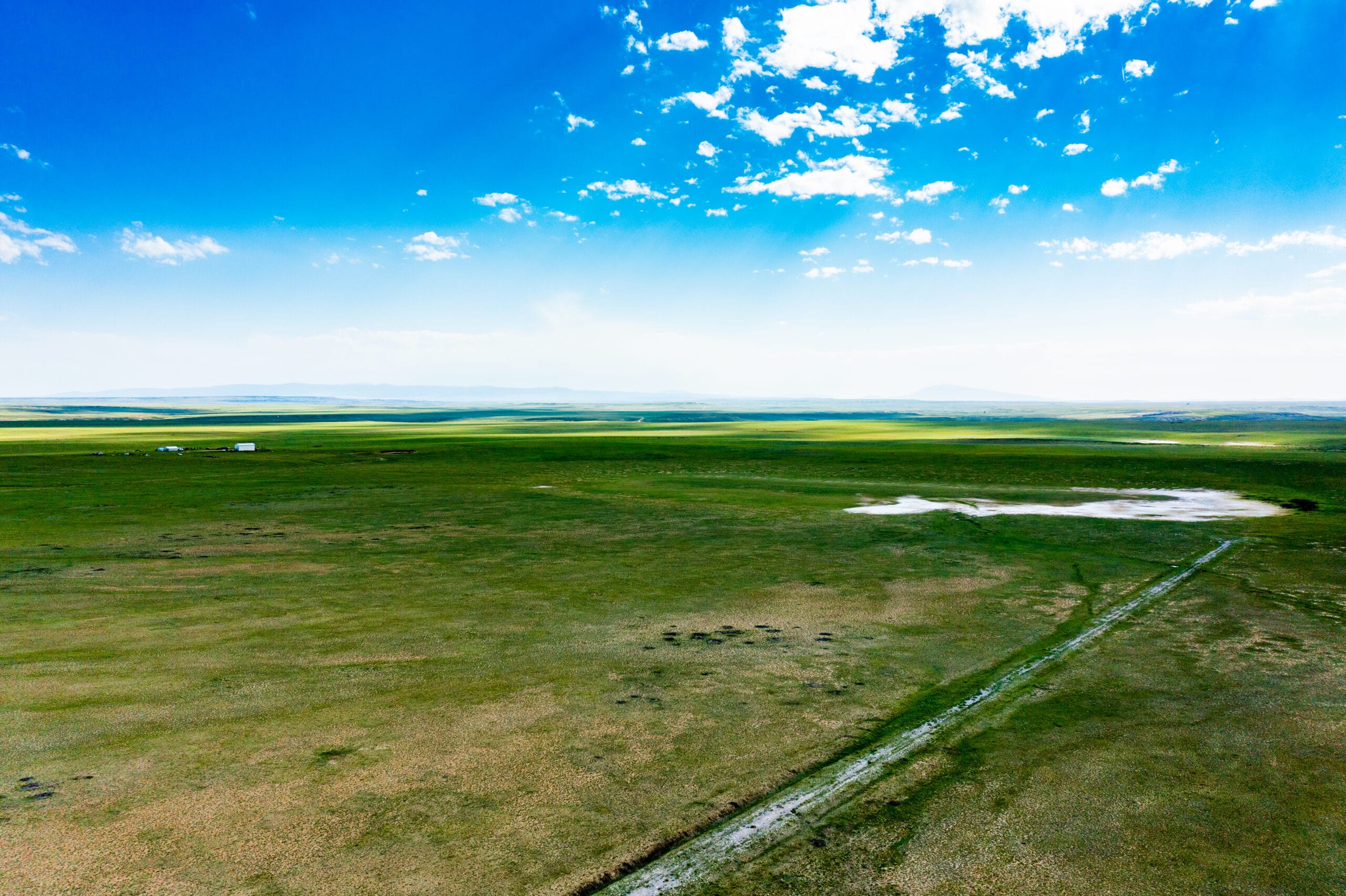
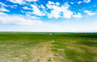
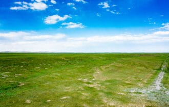
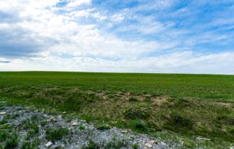
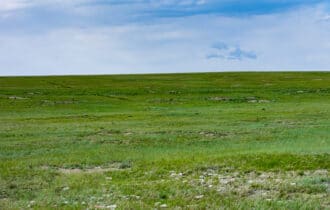
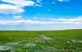
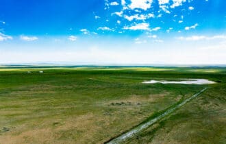
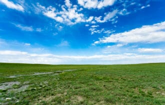
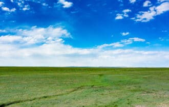
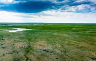
Hunting Camp
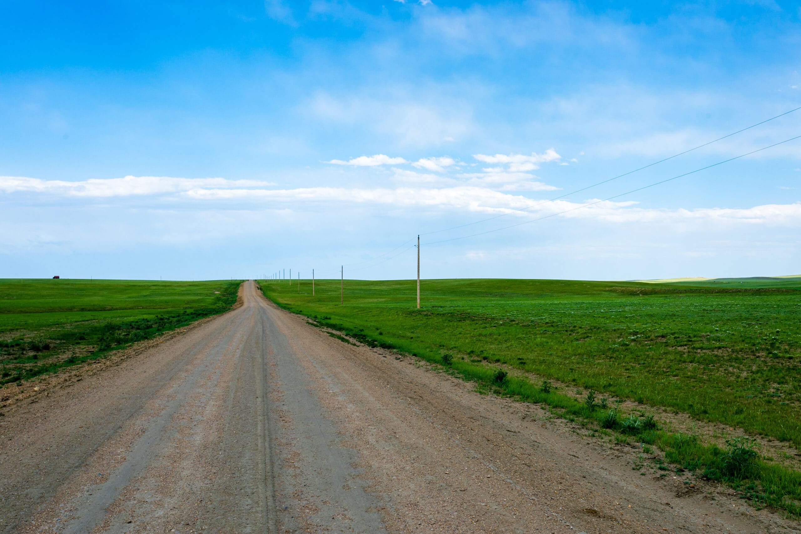
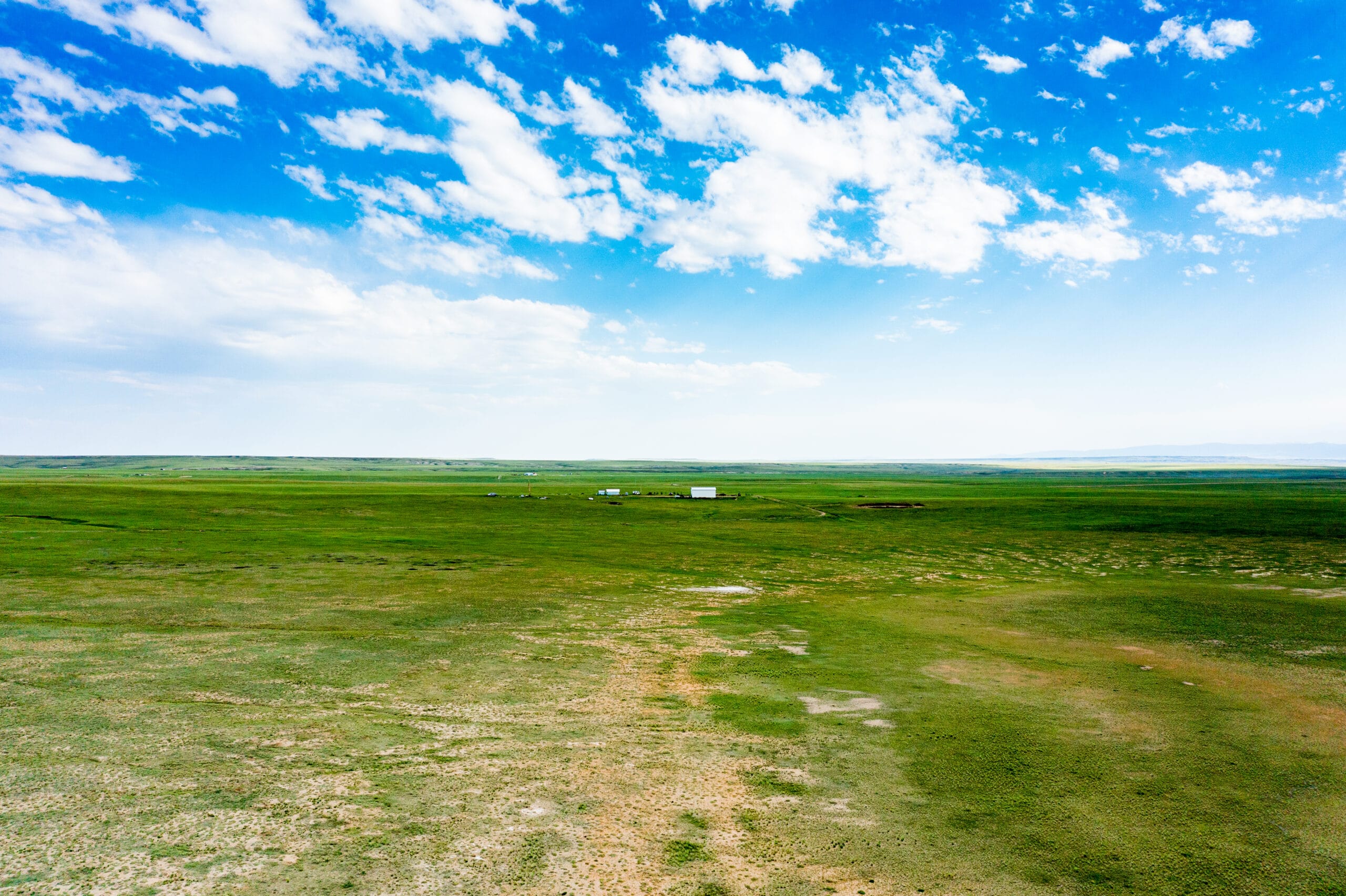
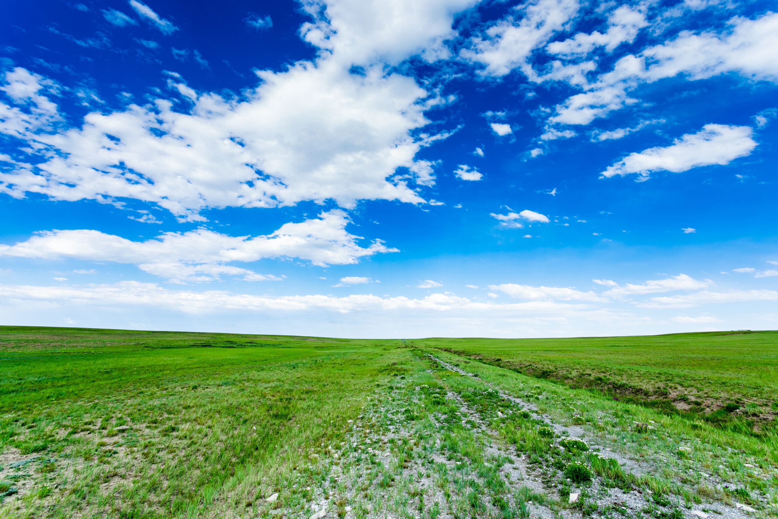
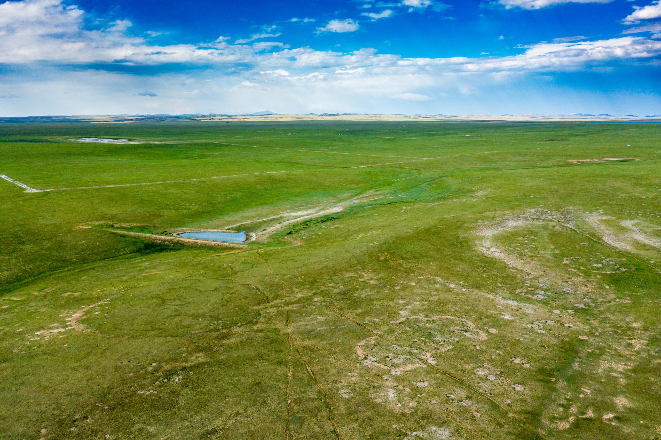
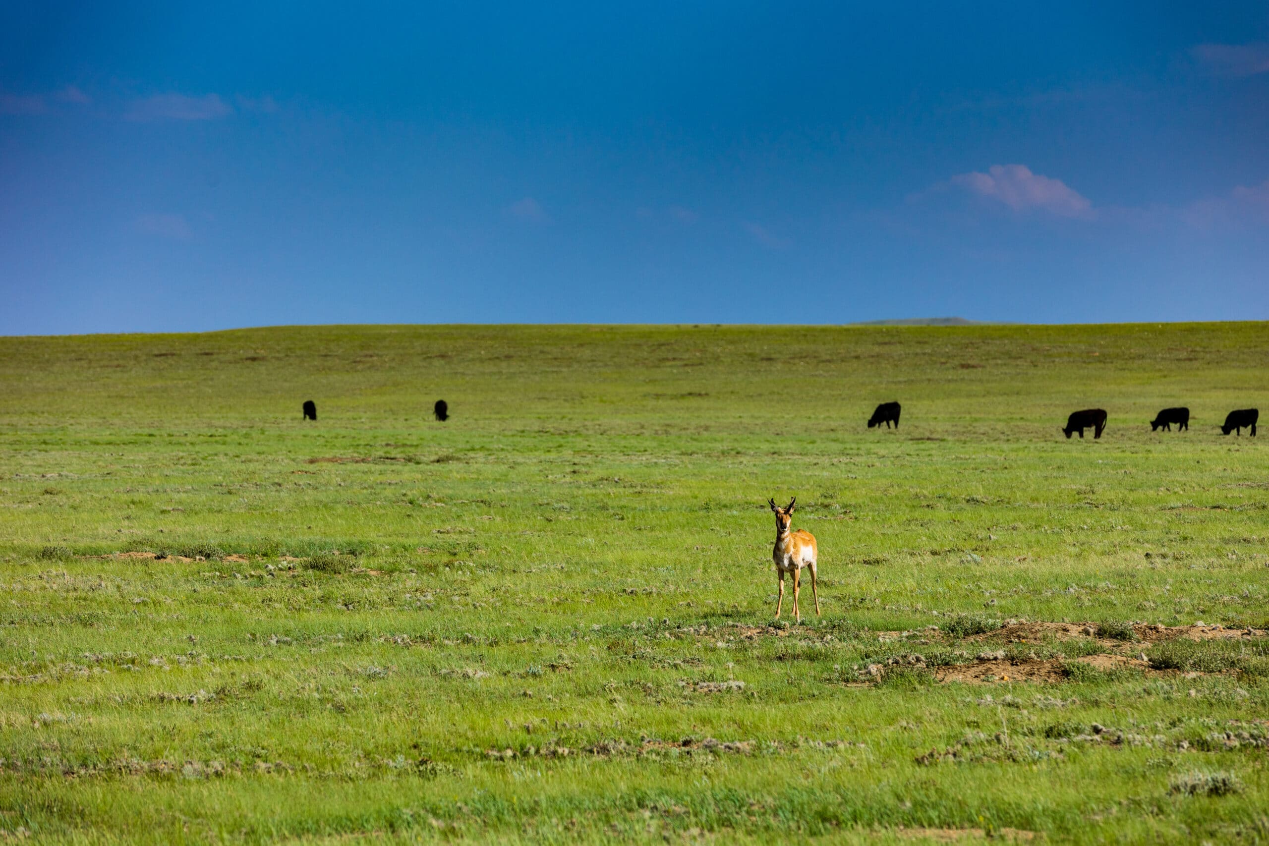
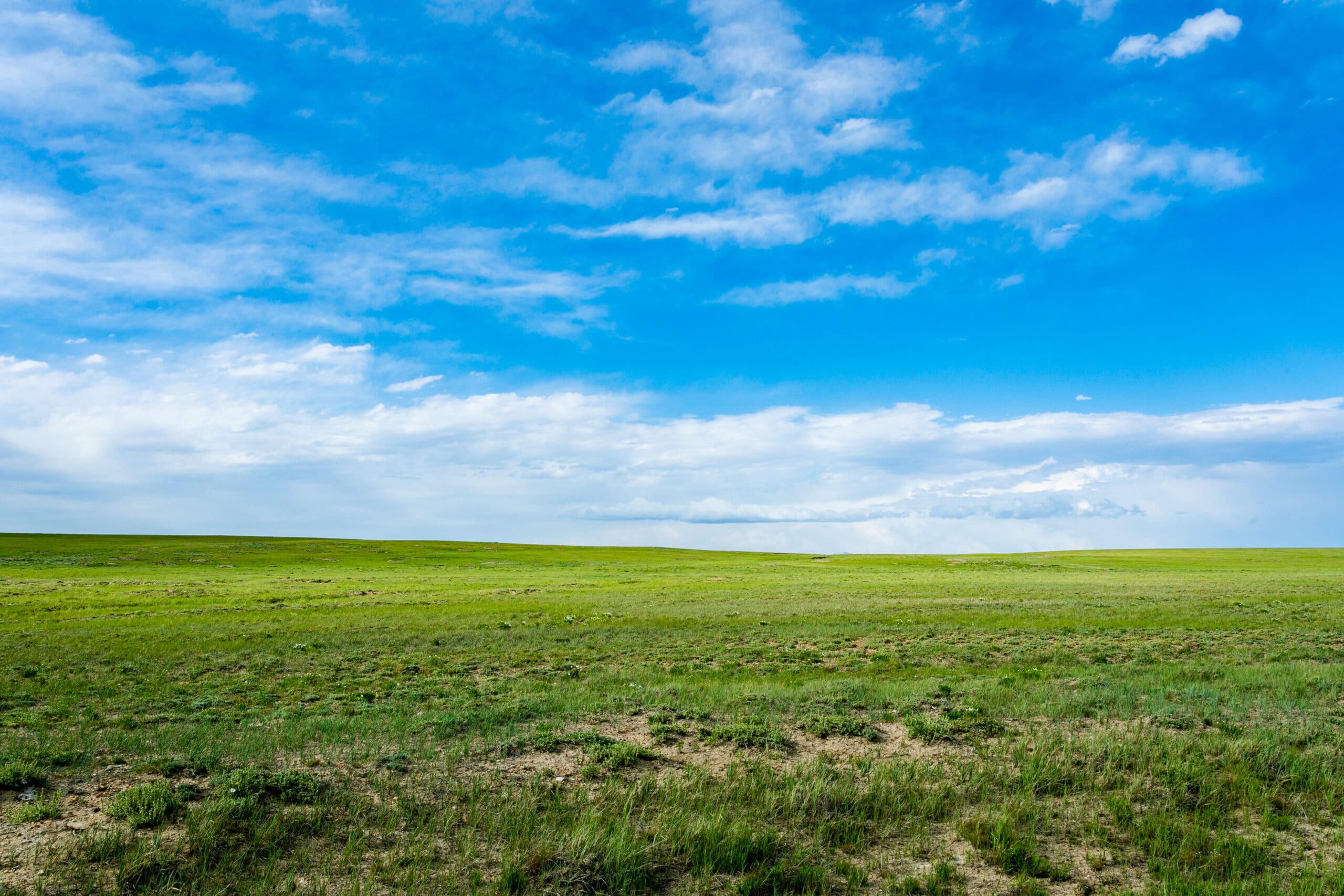
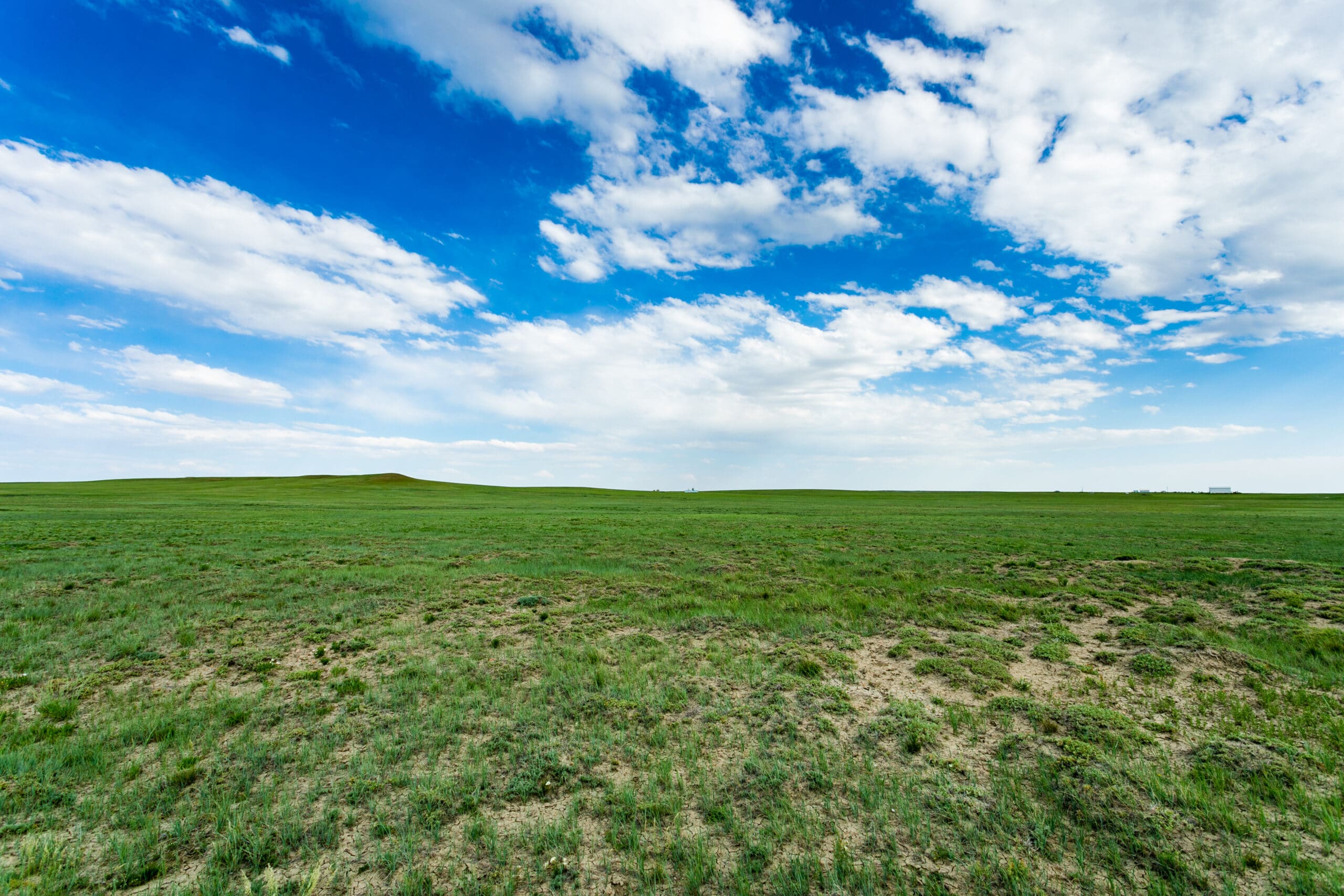
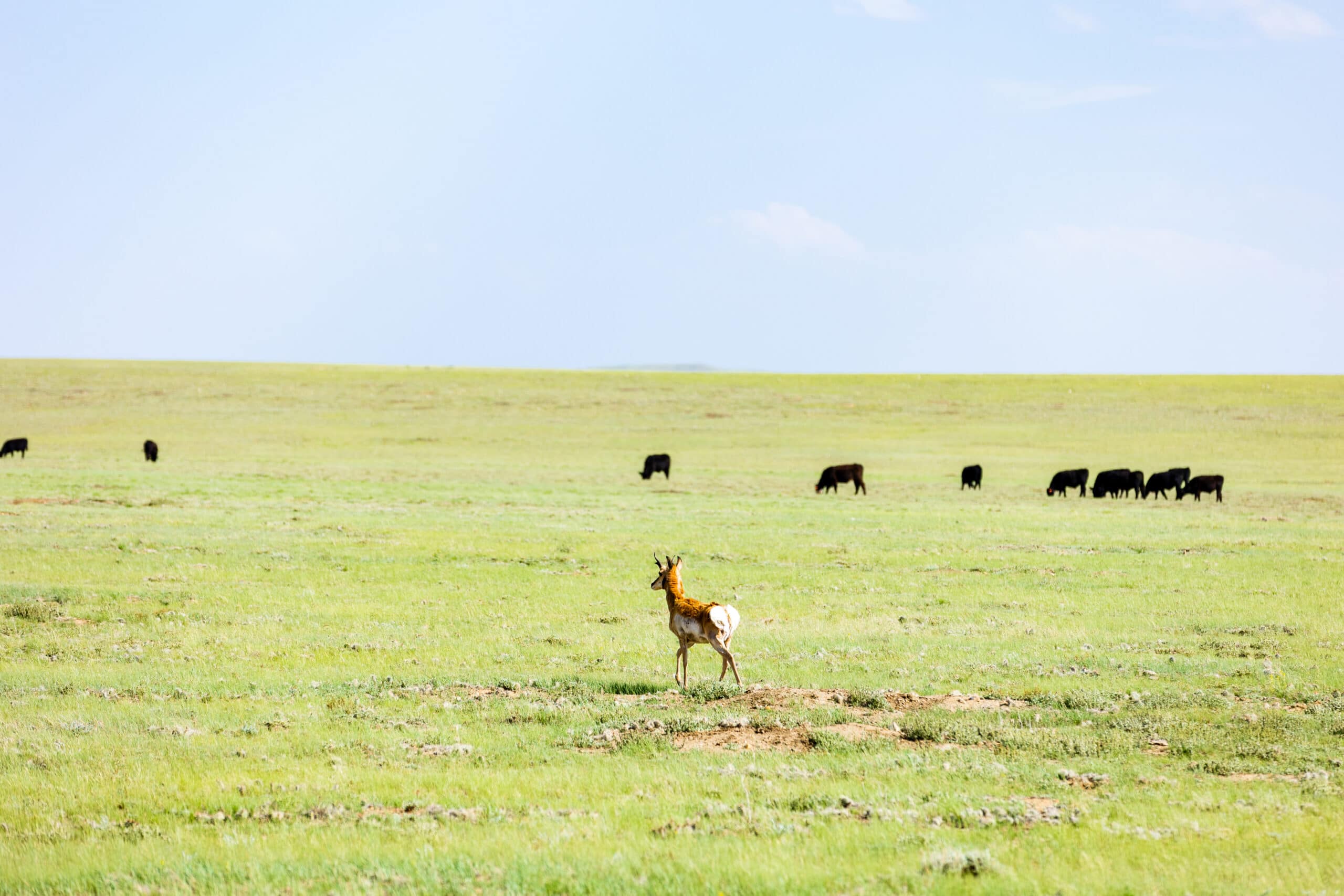
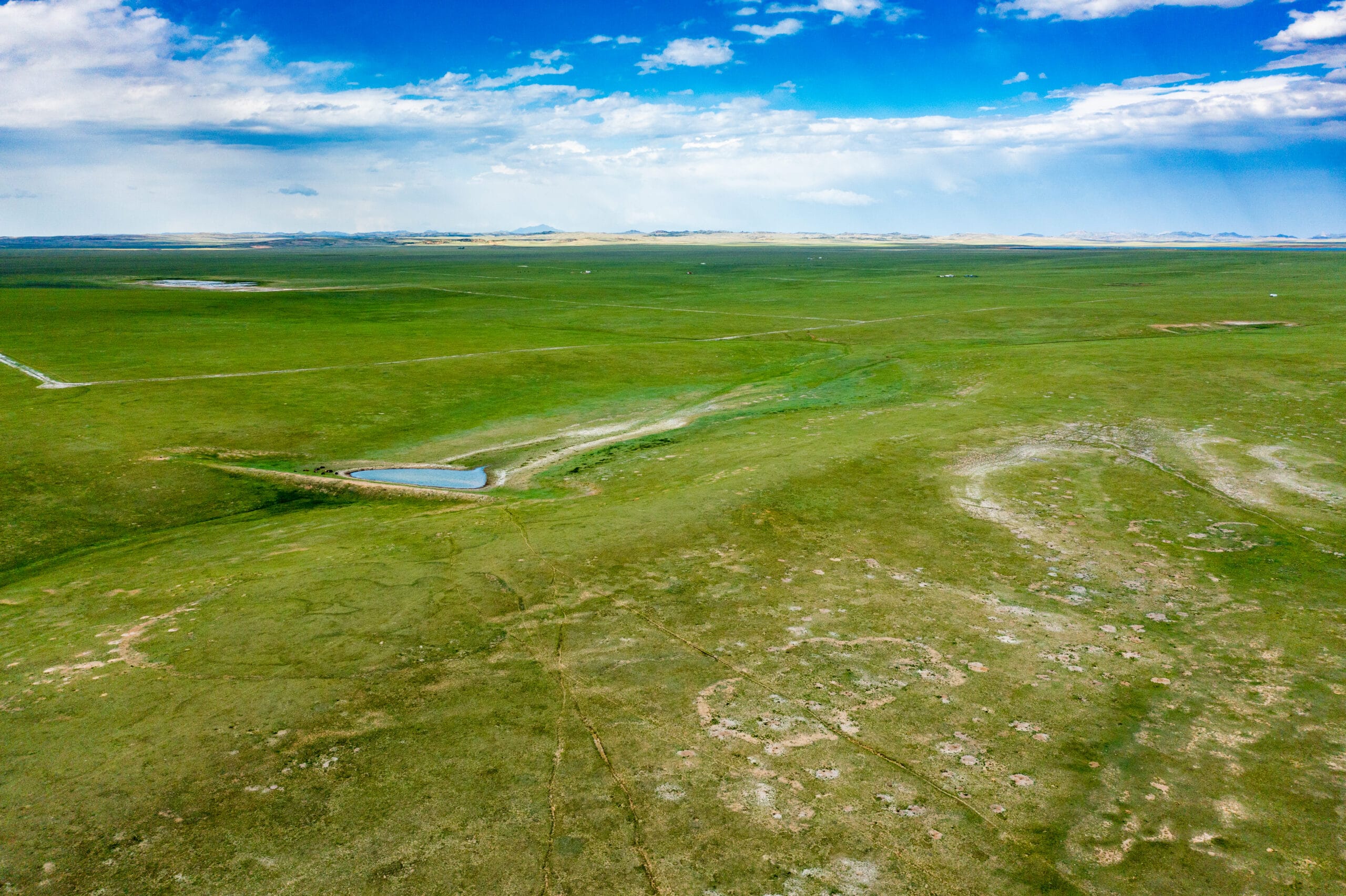
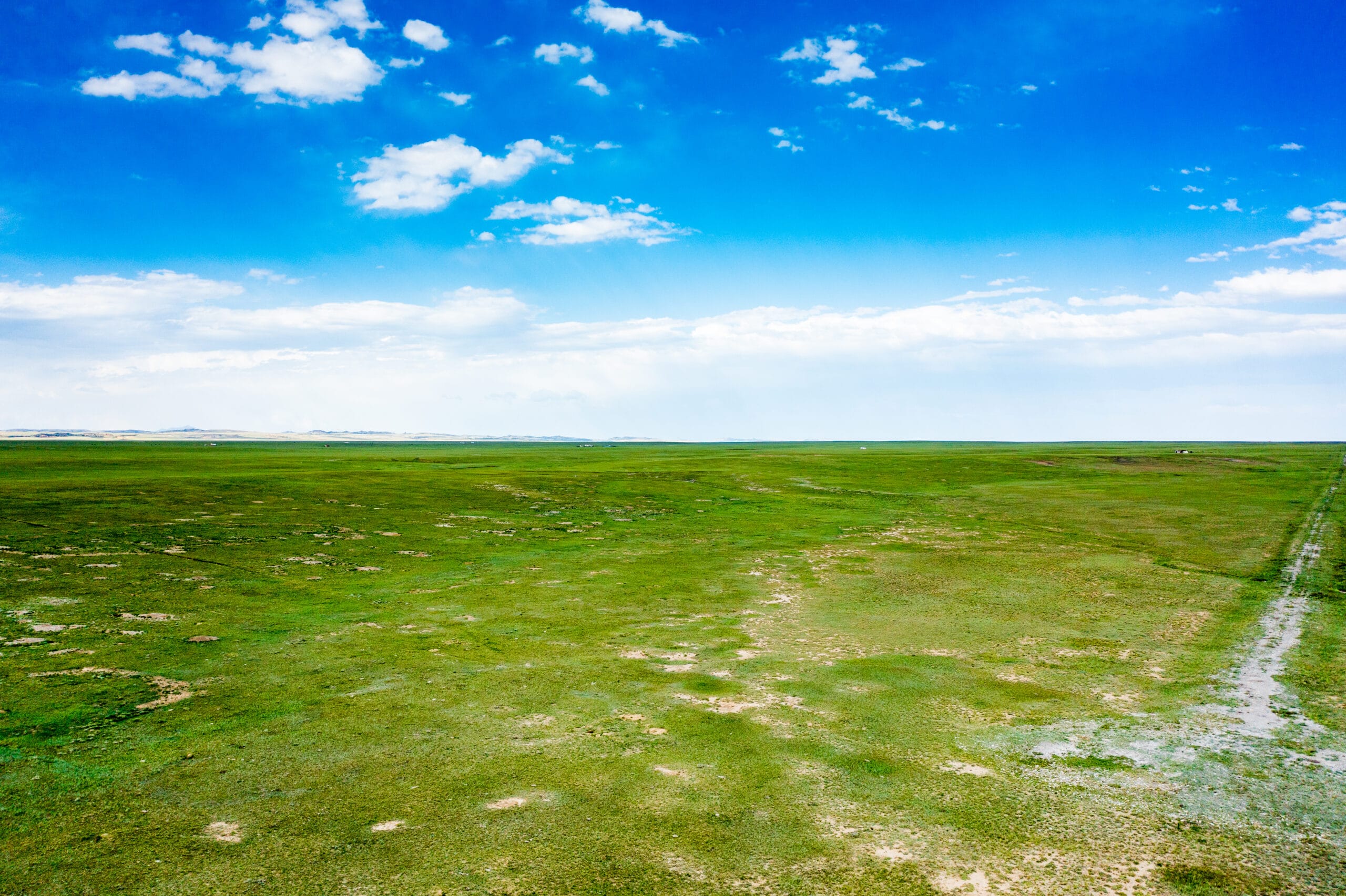
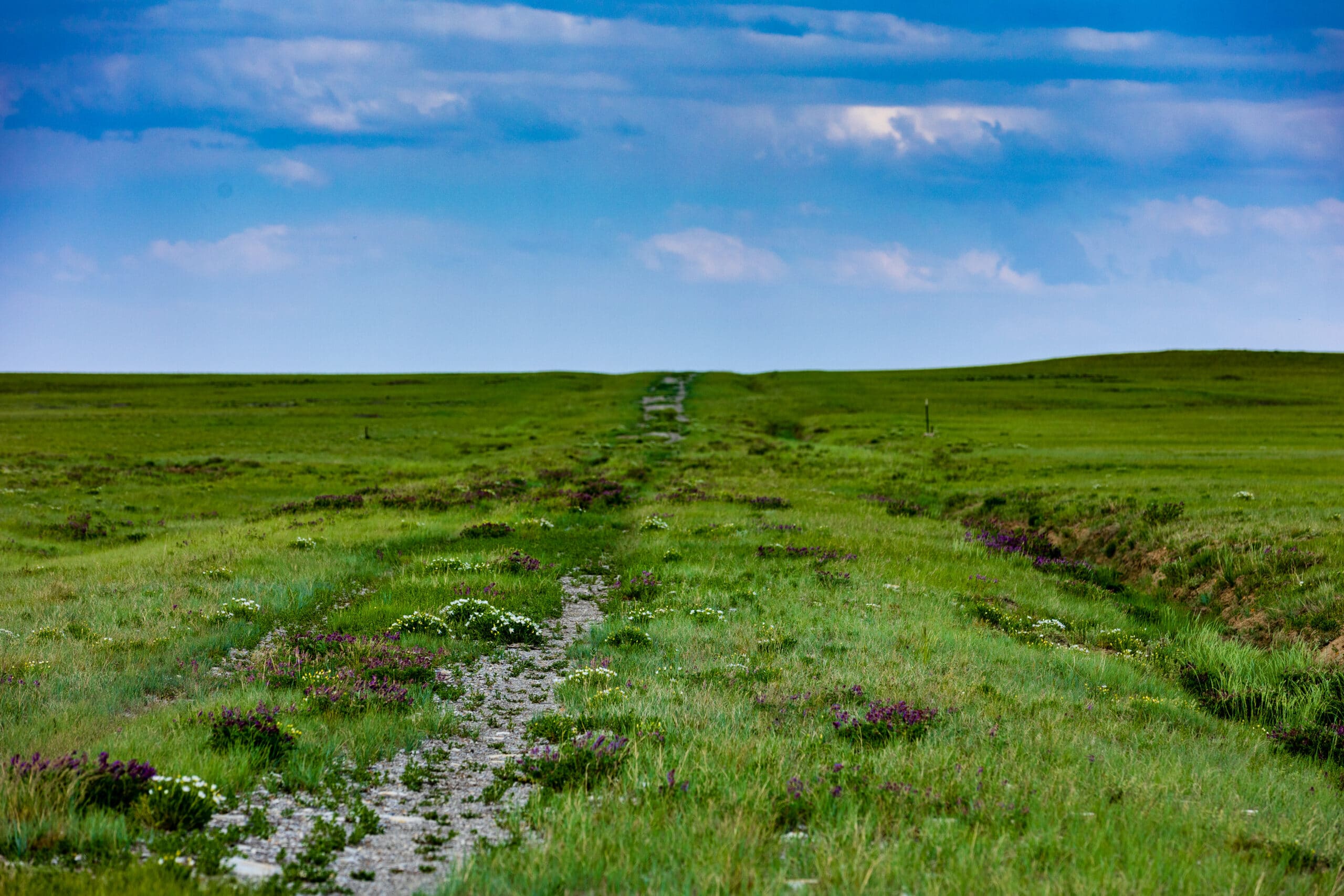
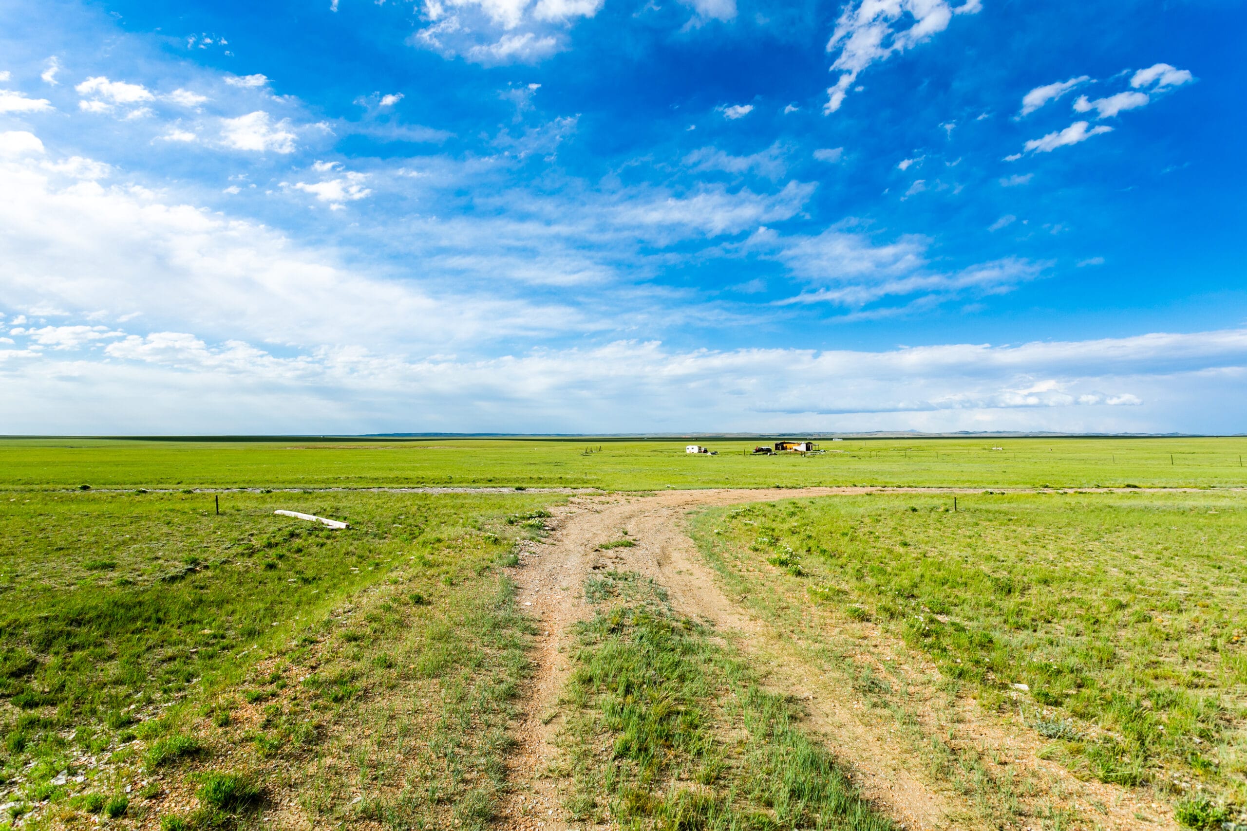
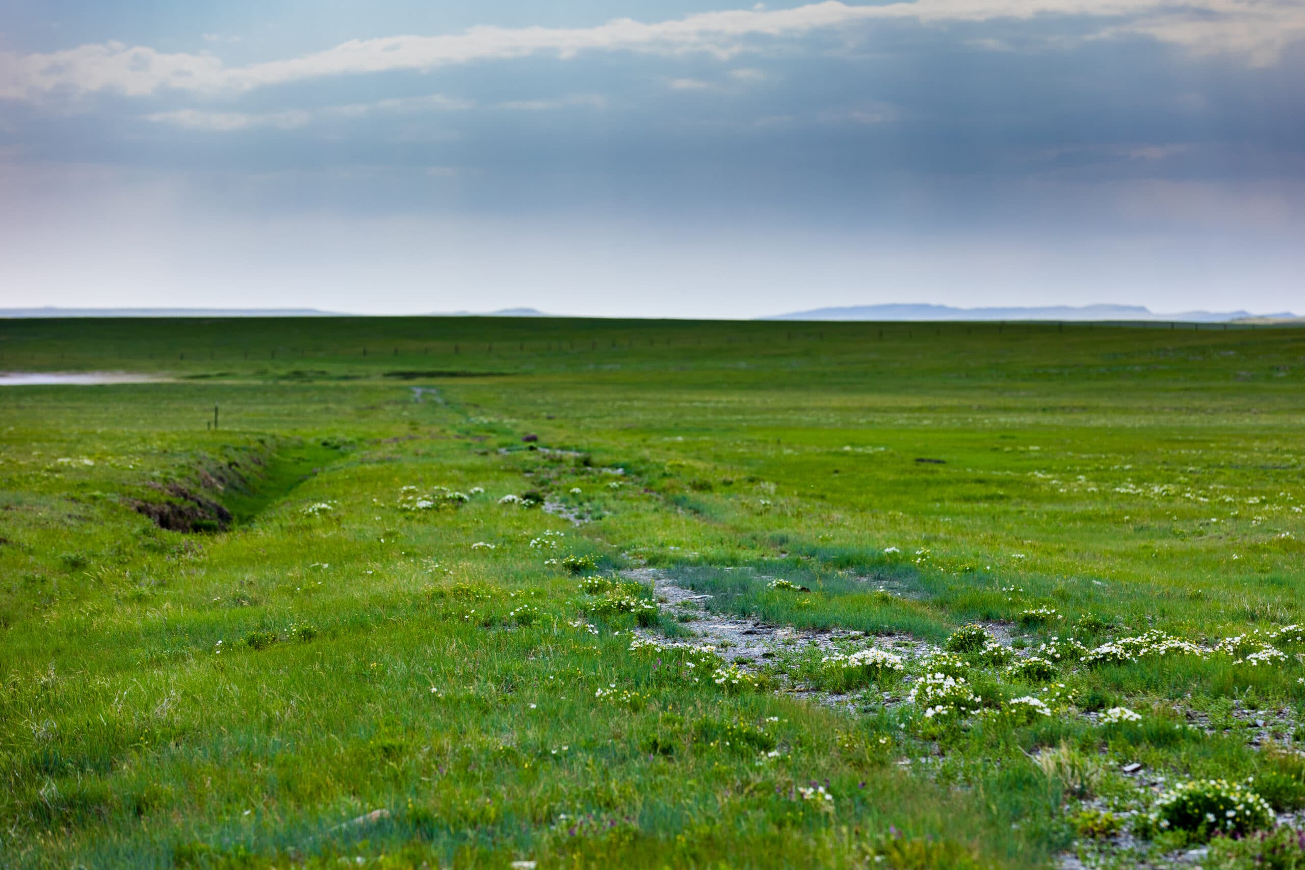
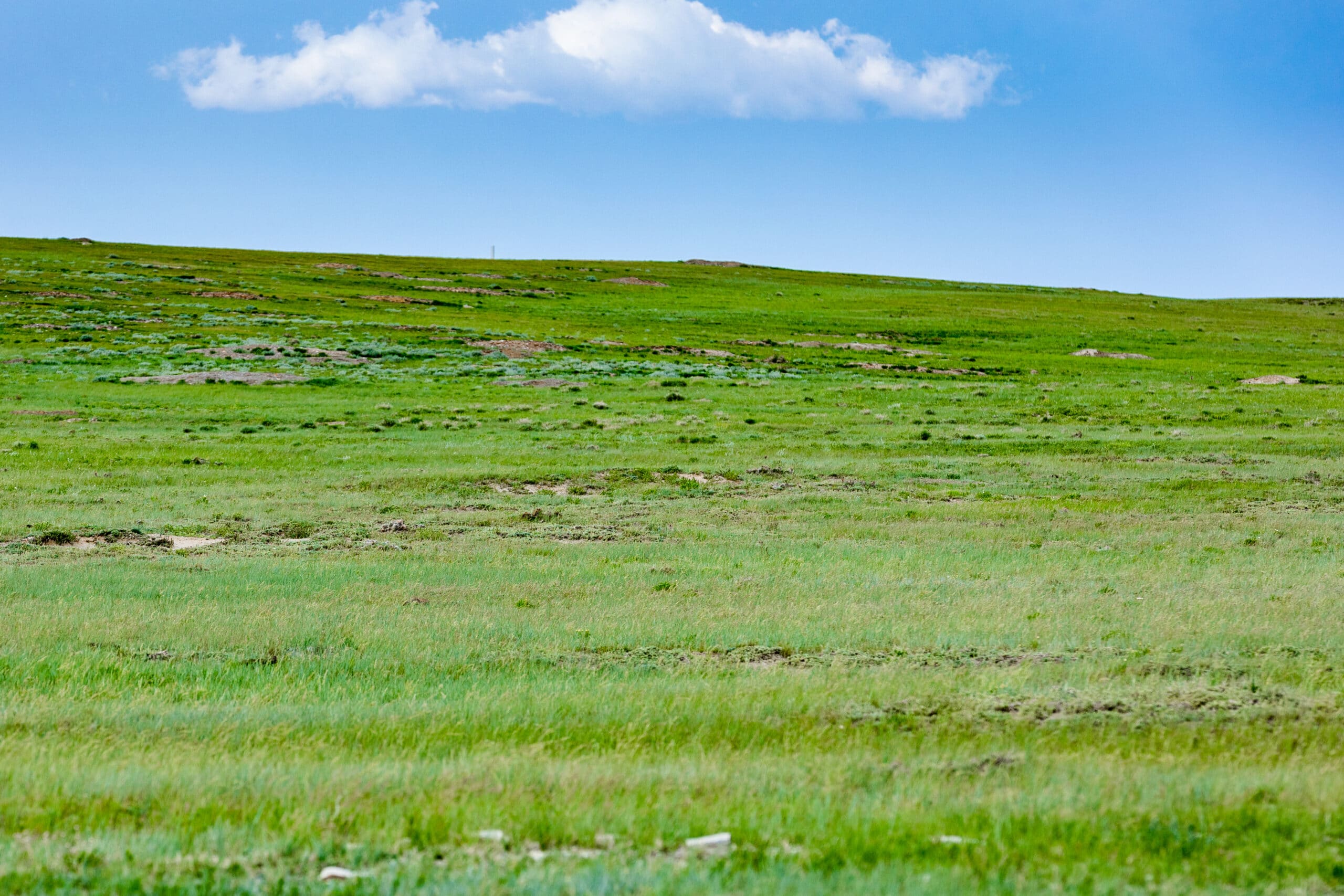
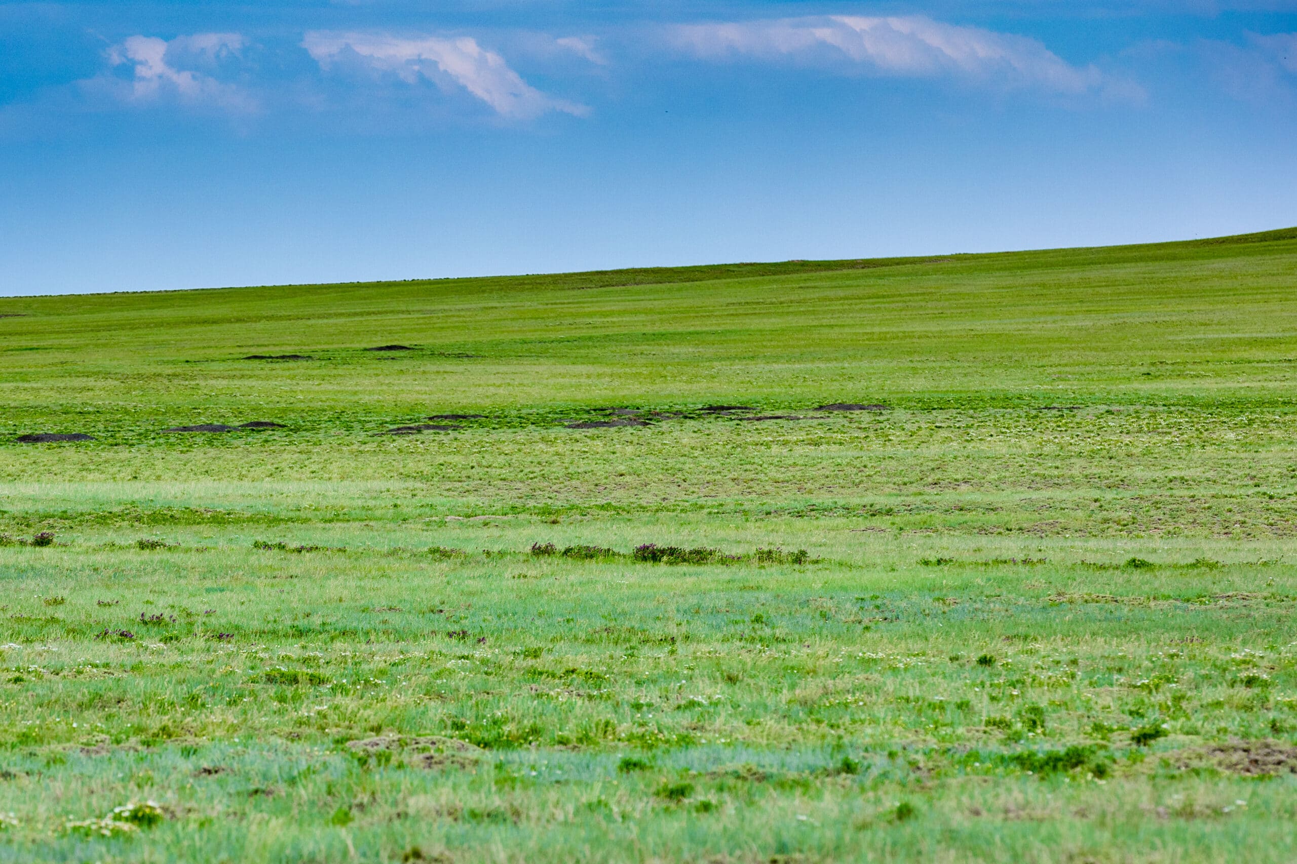
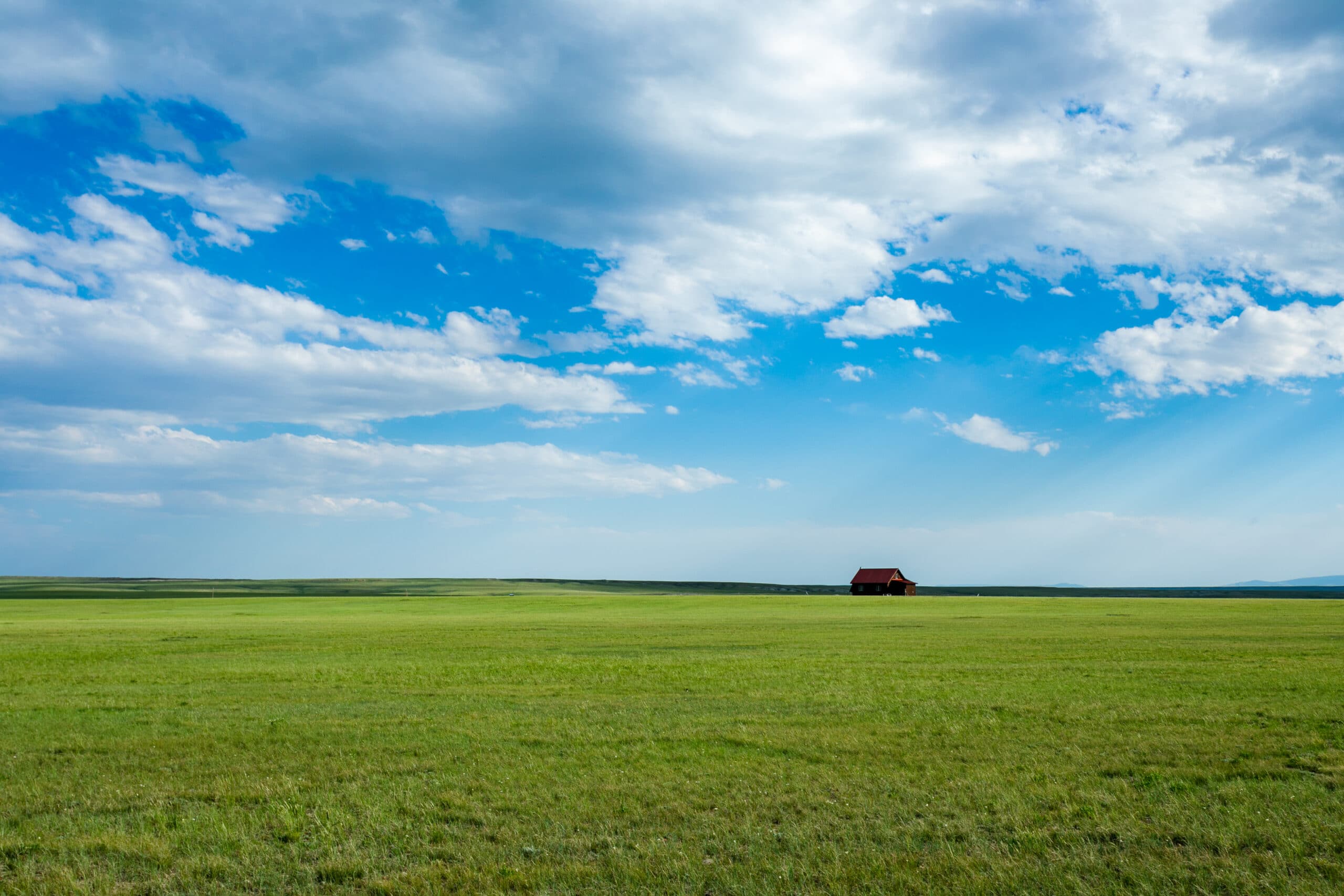
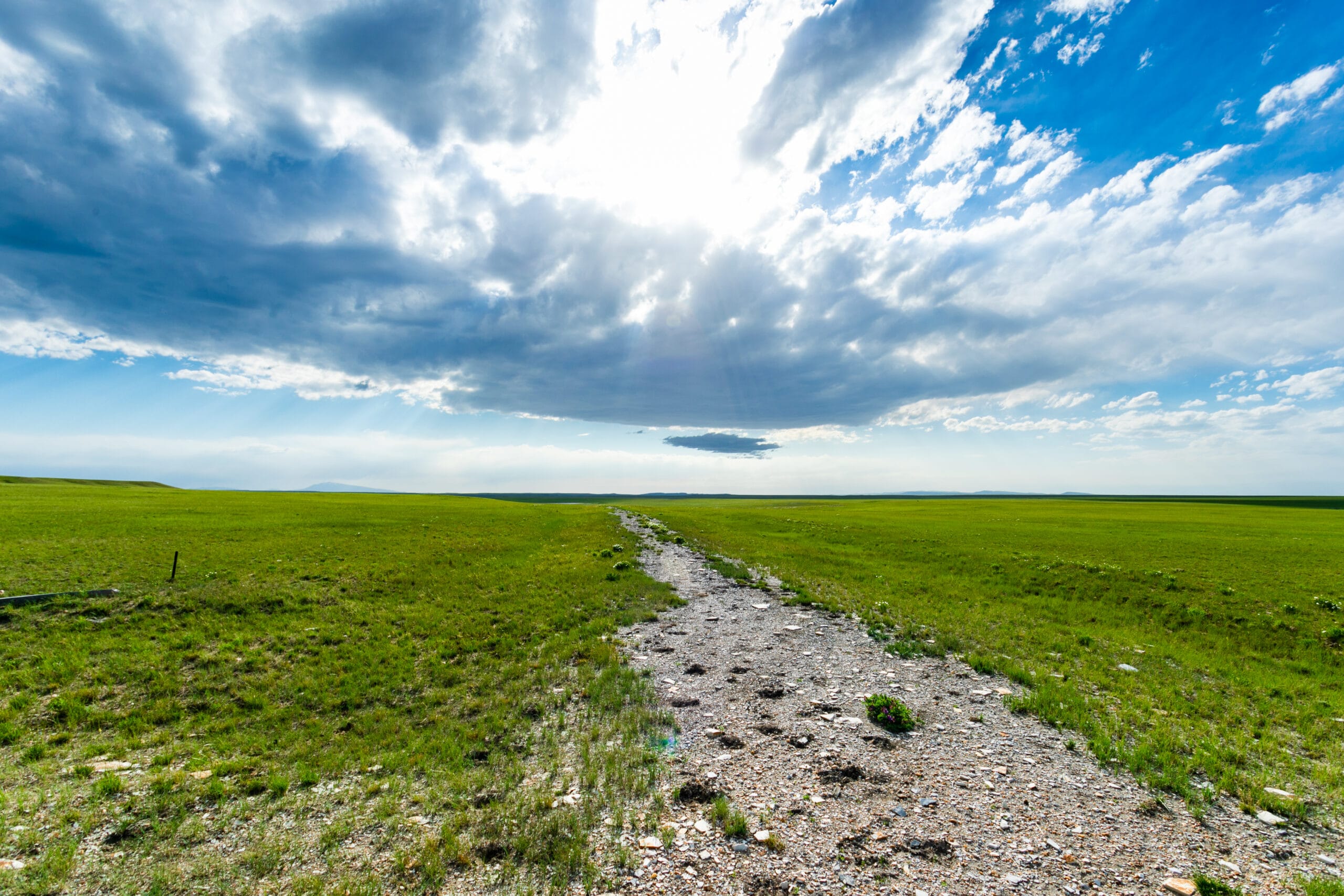
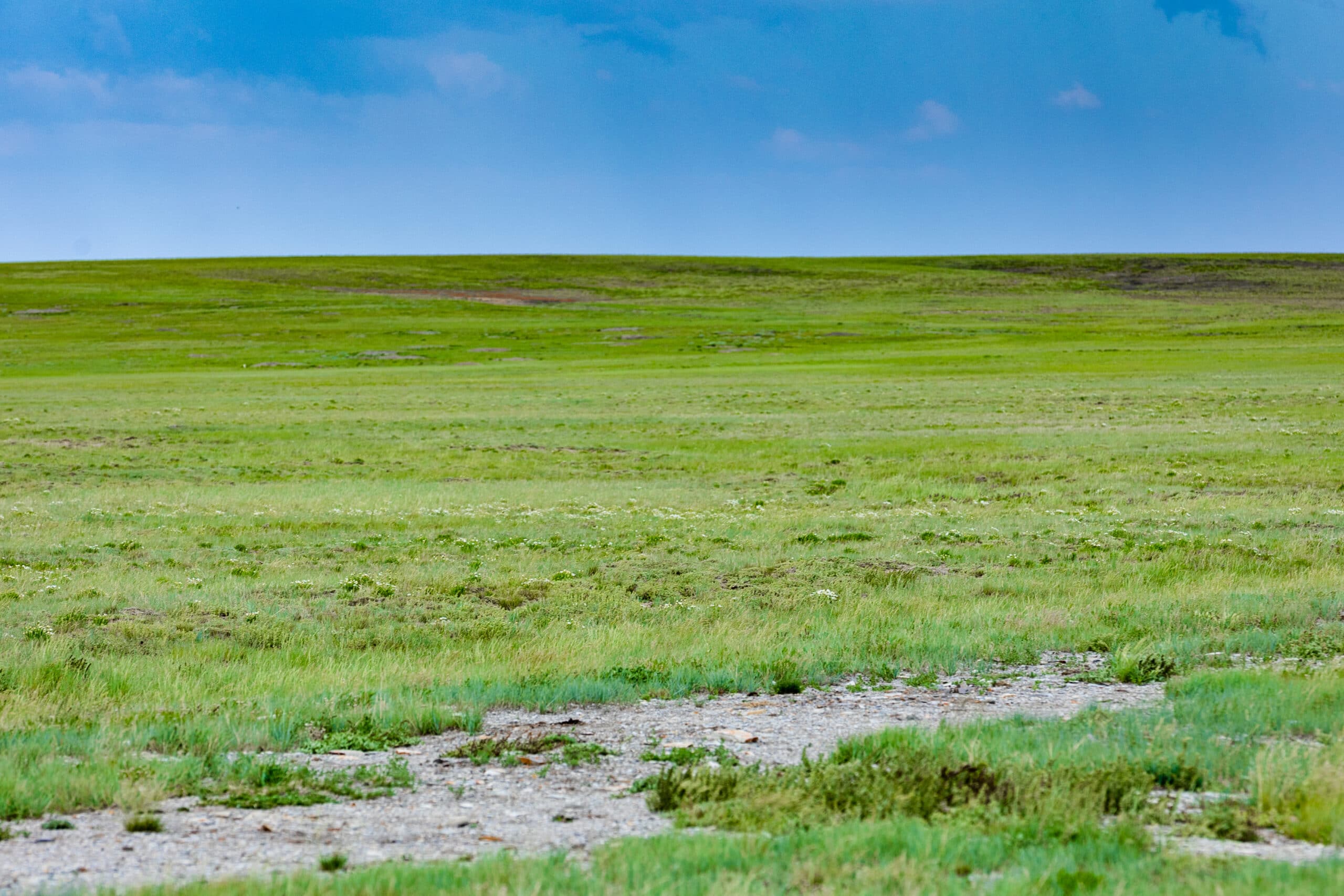
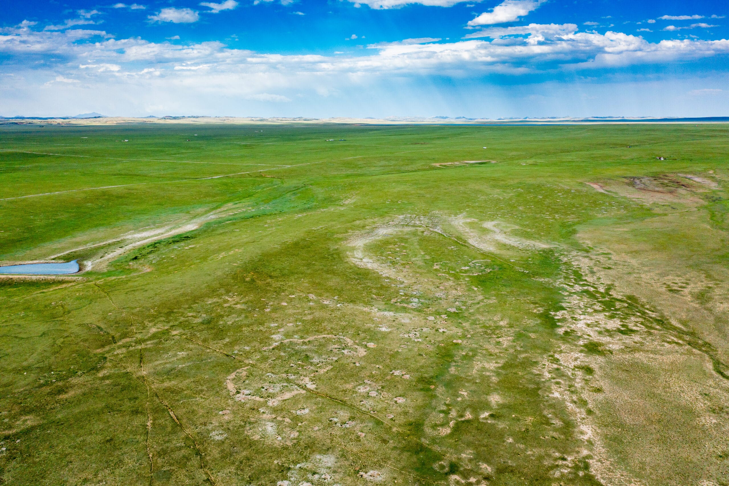
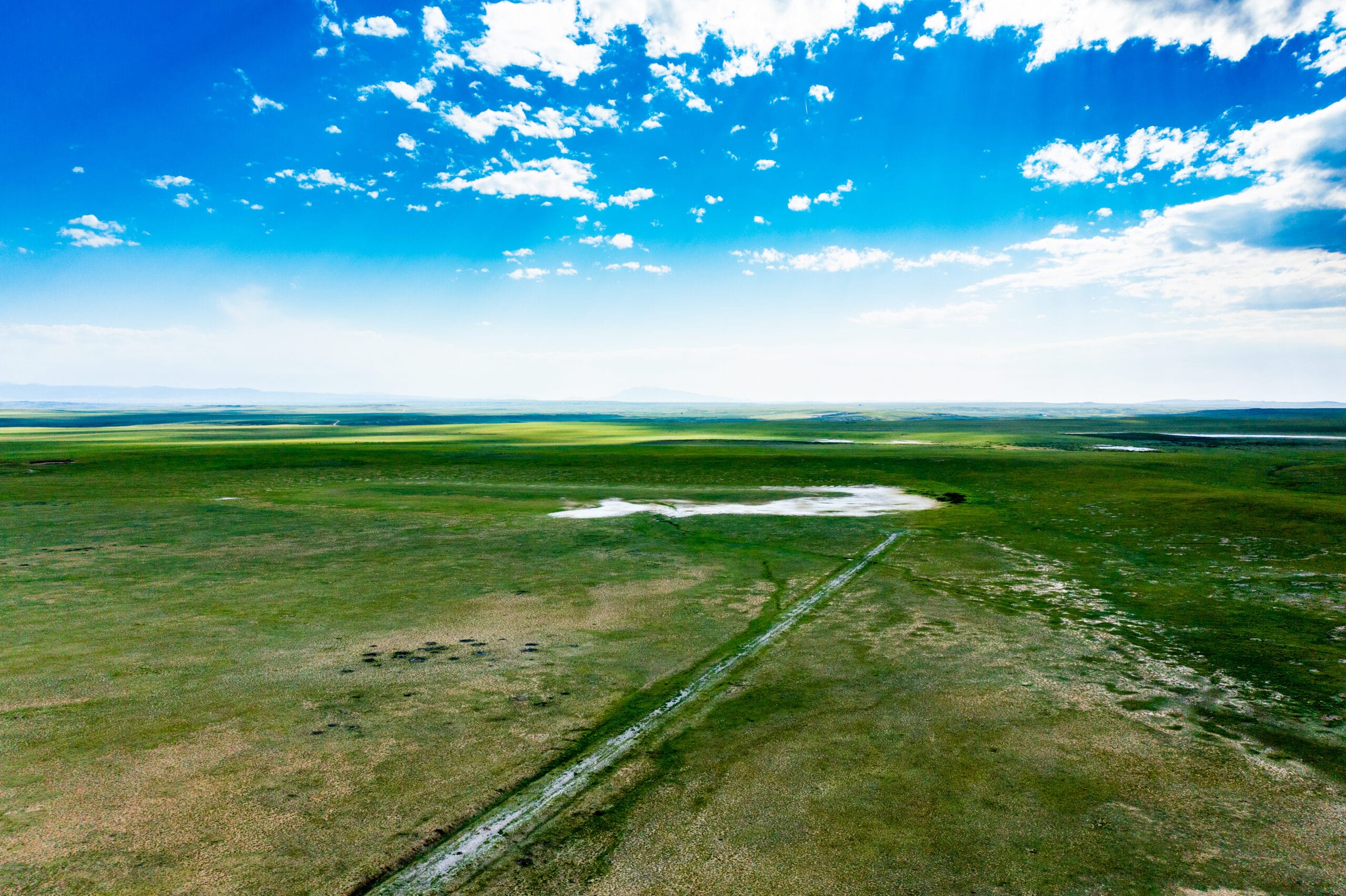
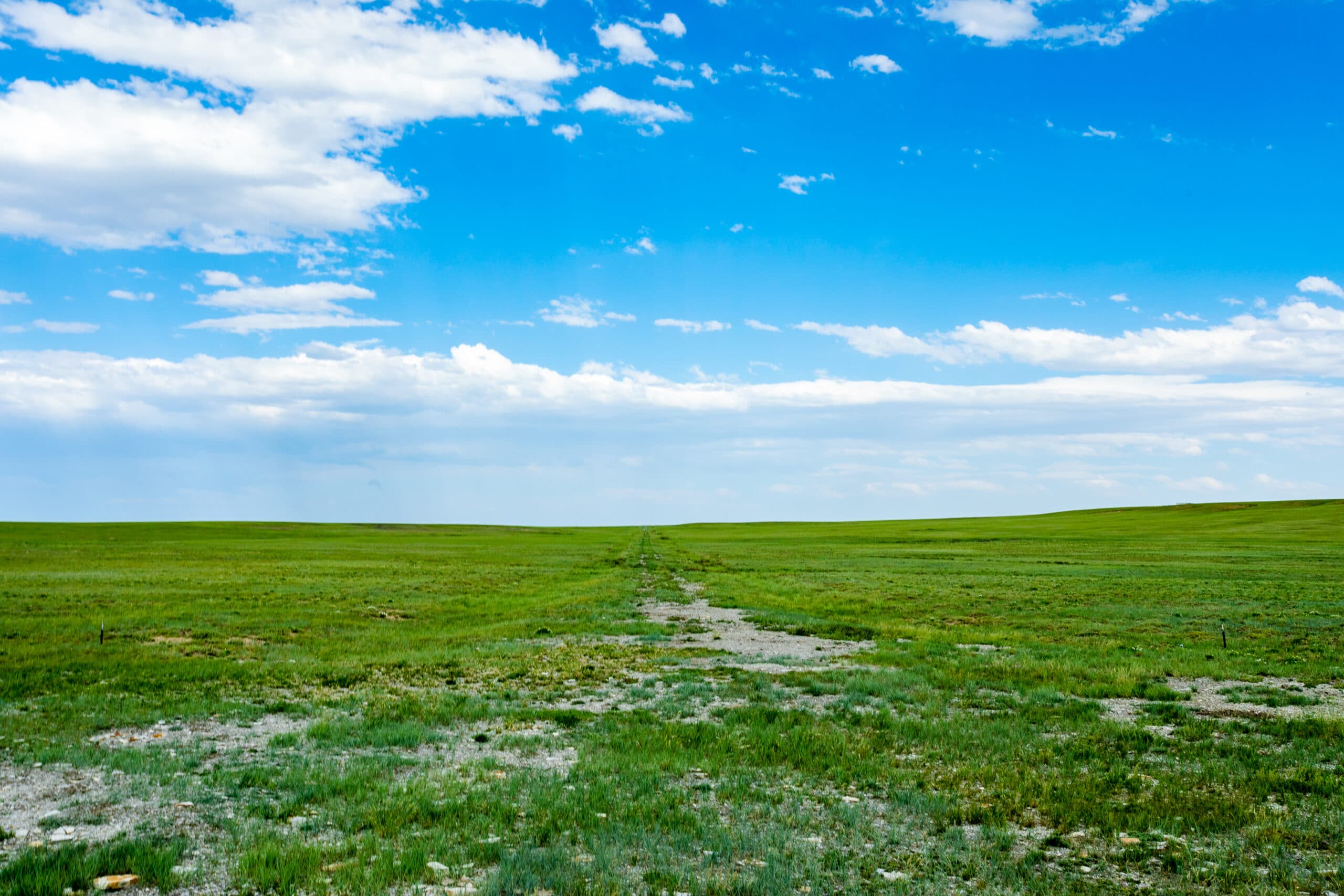
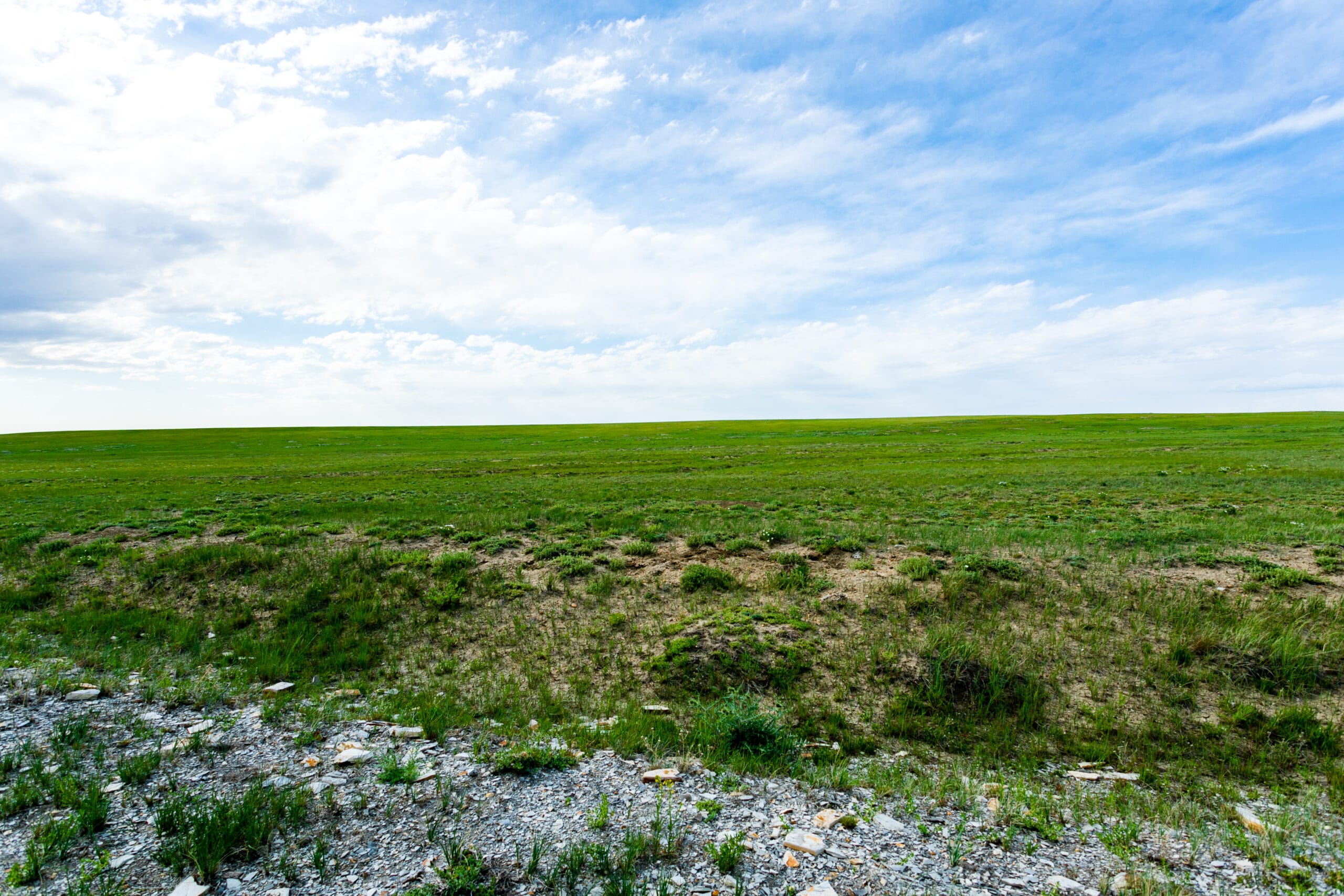
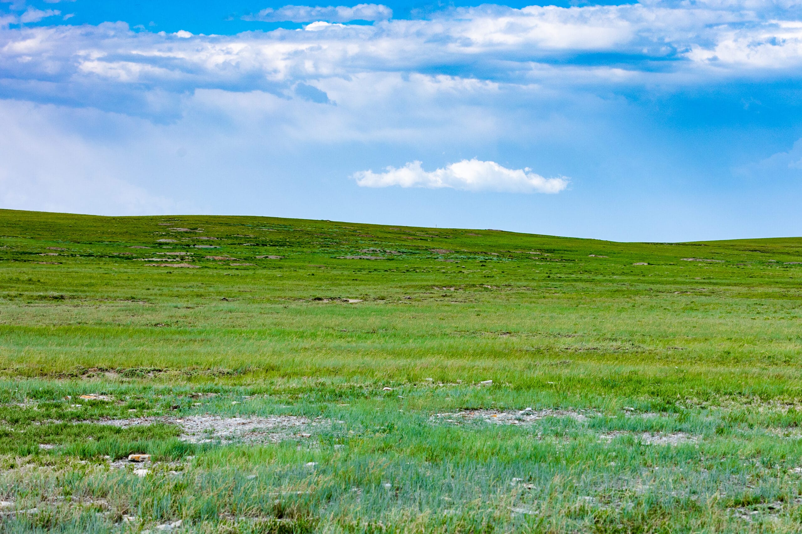
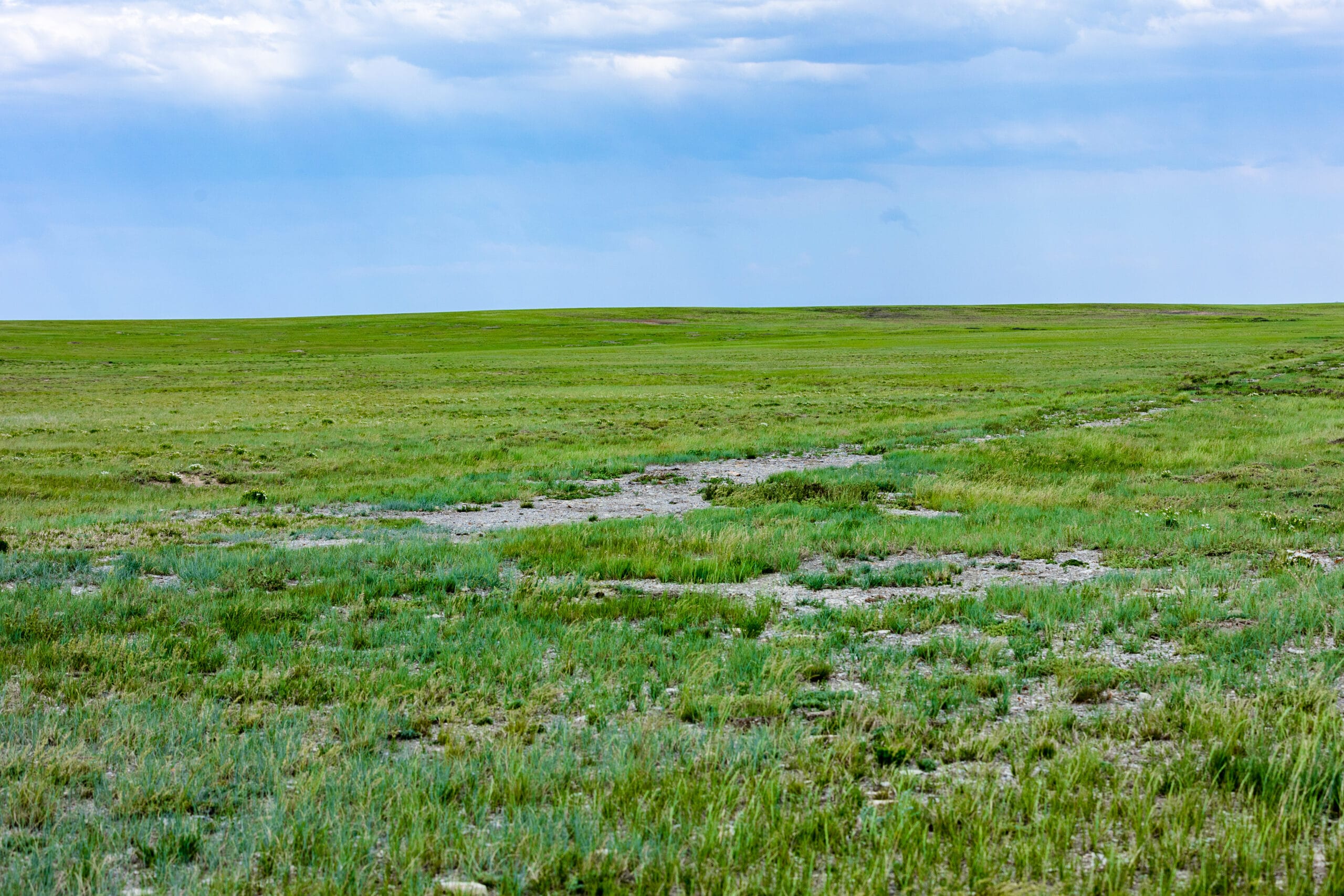
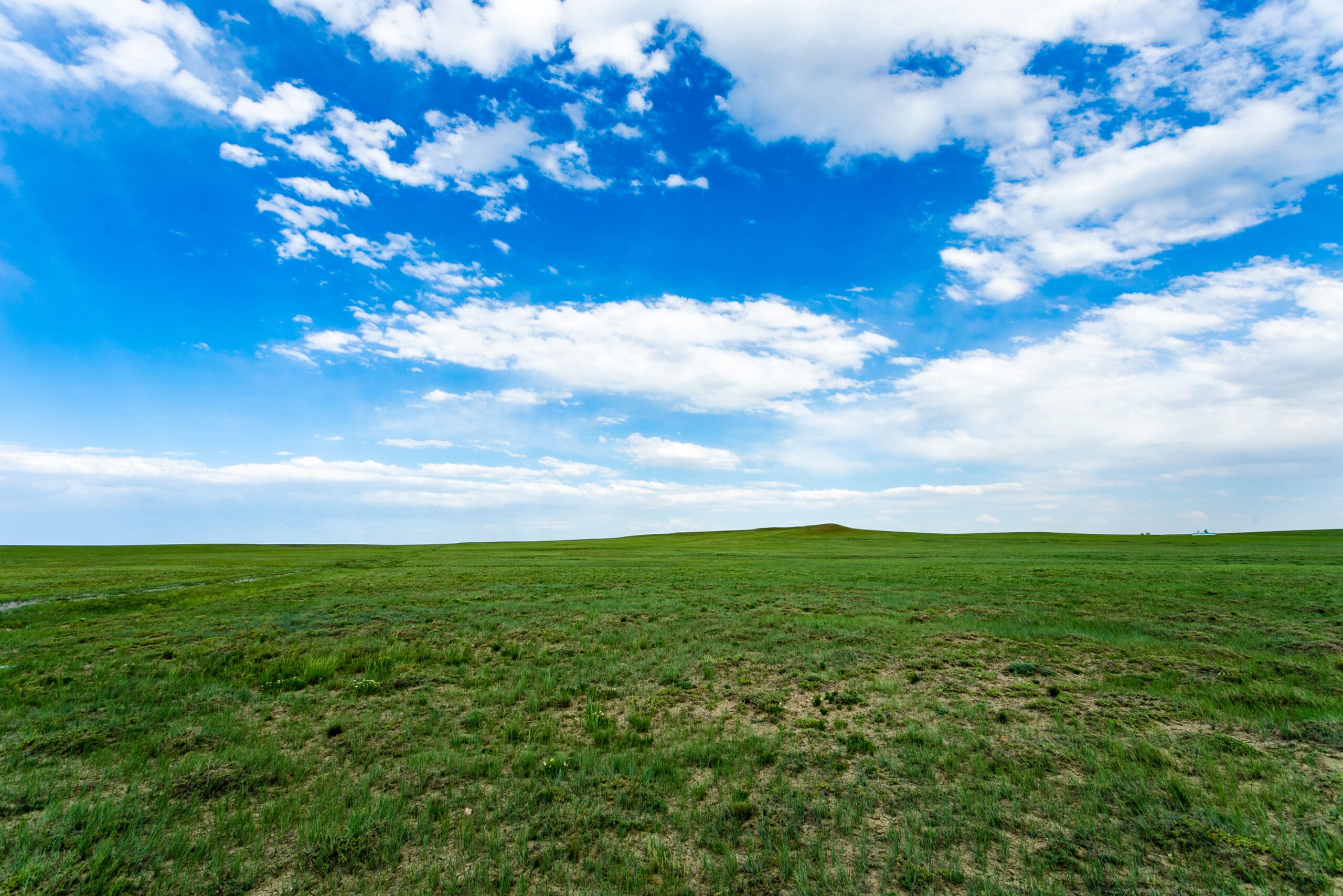
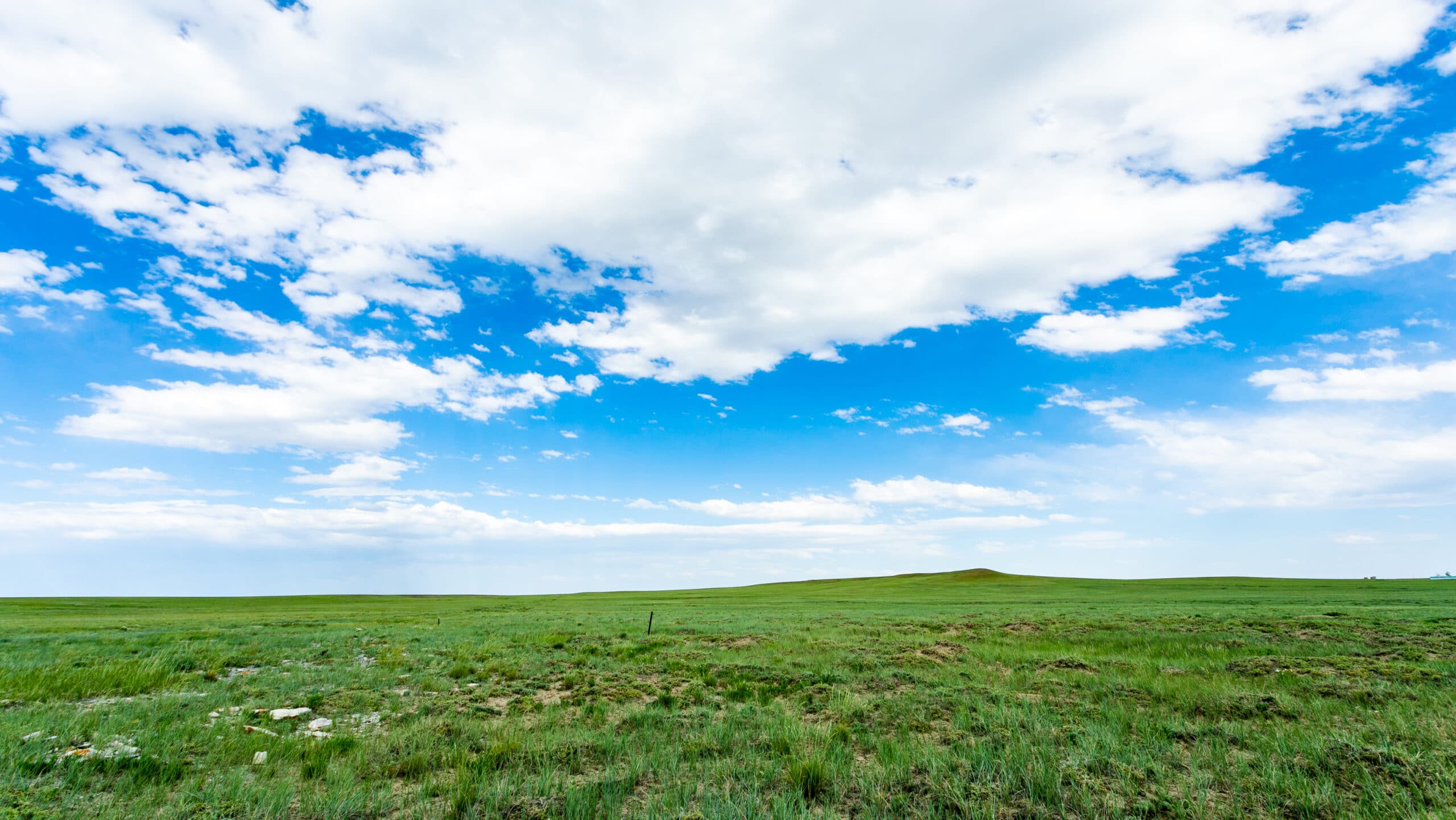
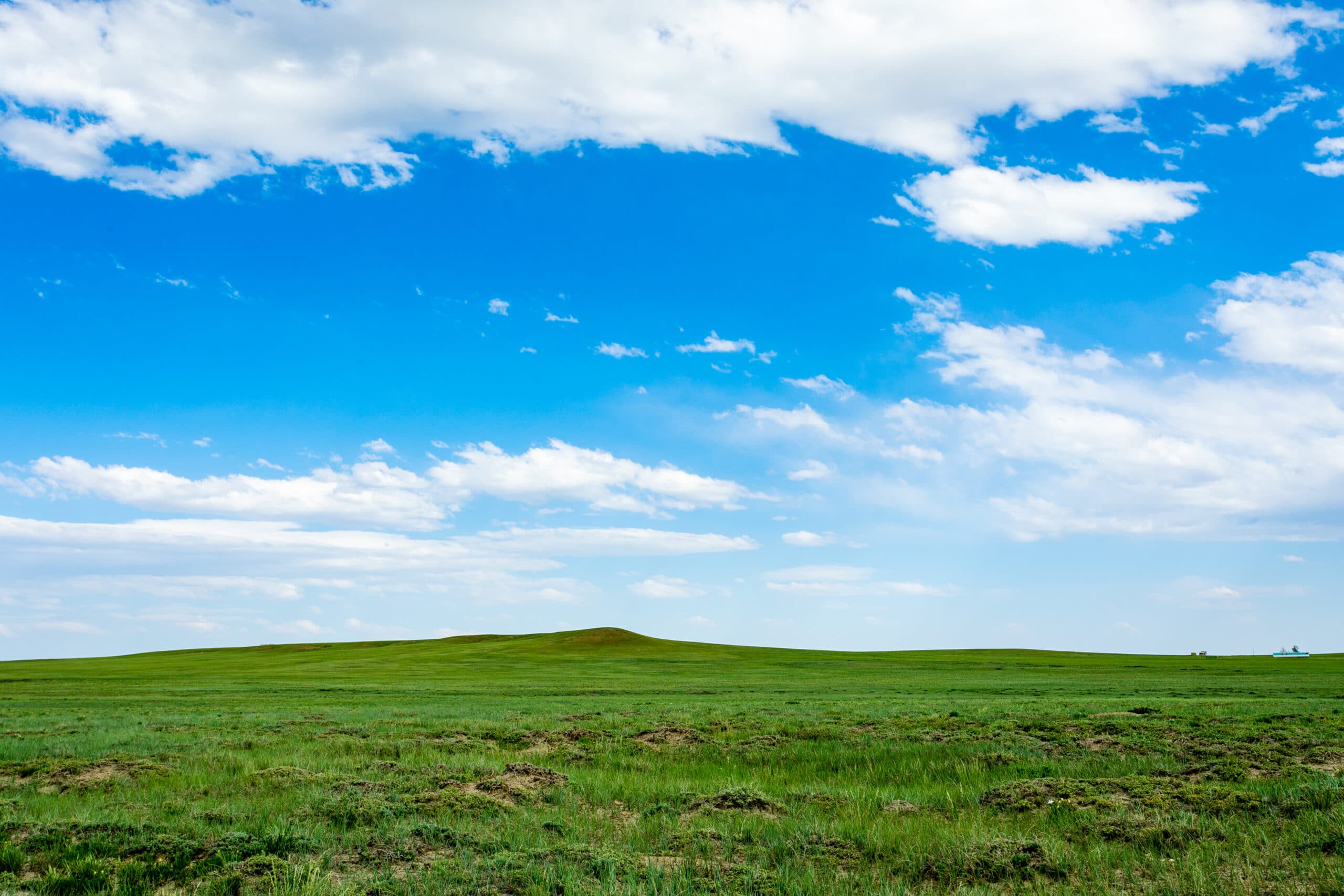
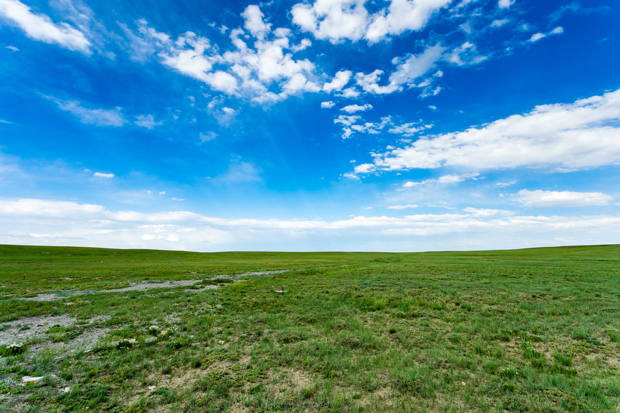
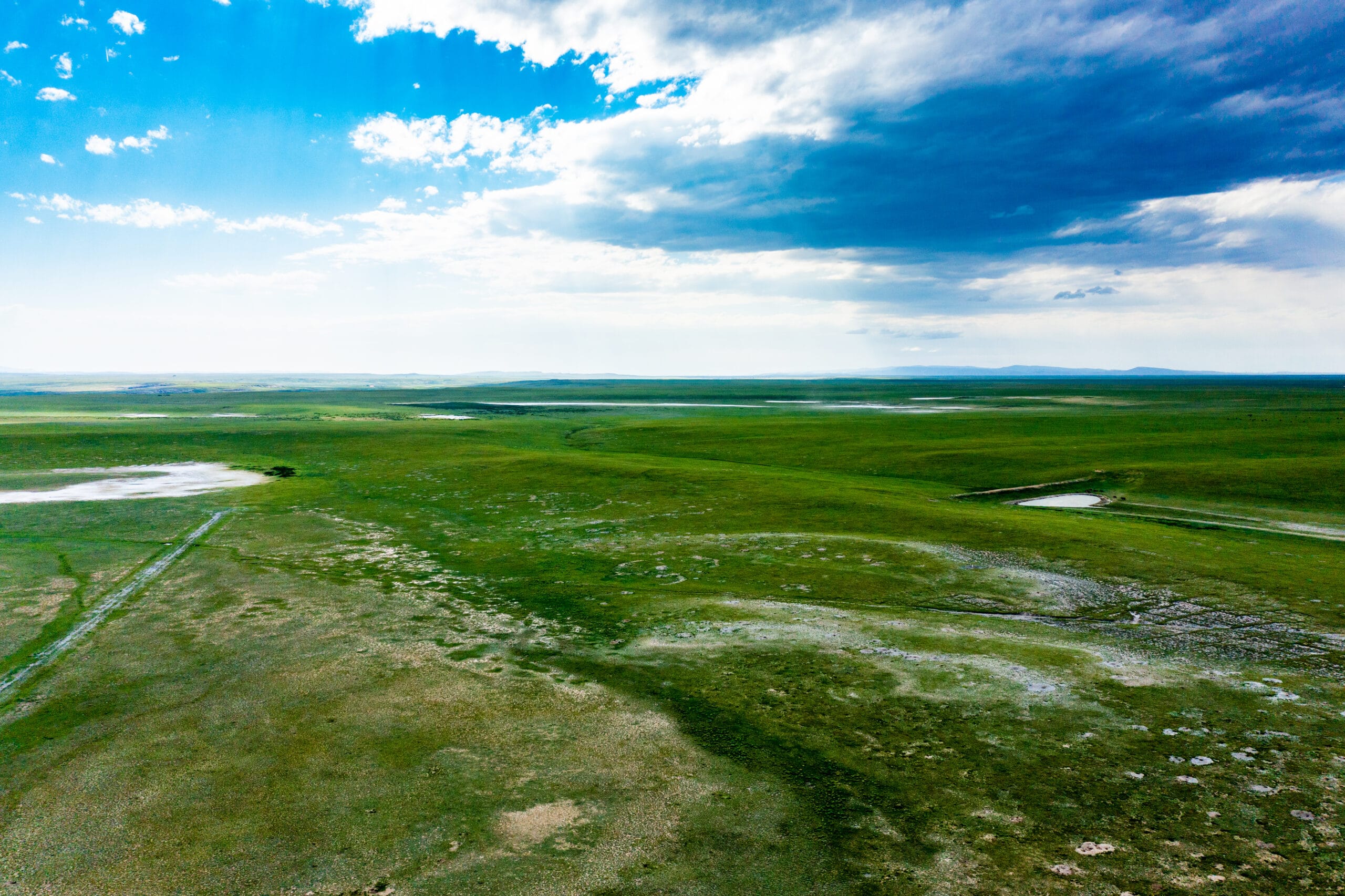
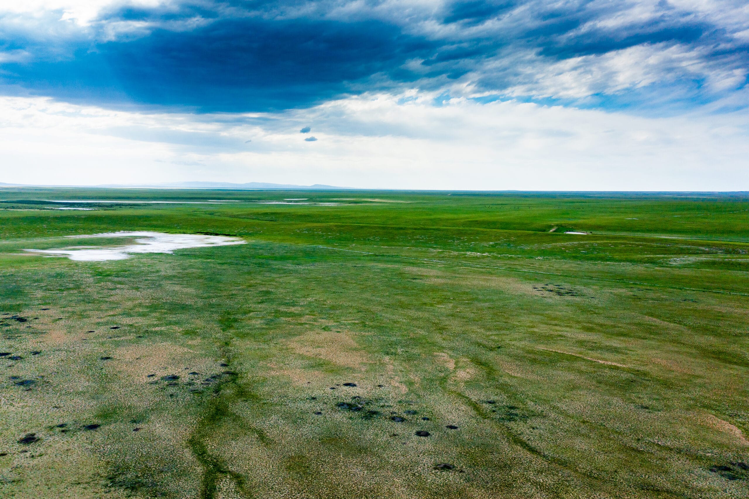
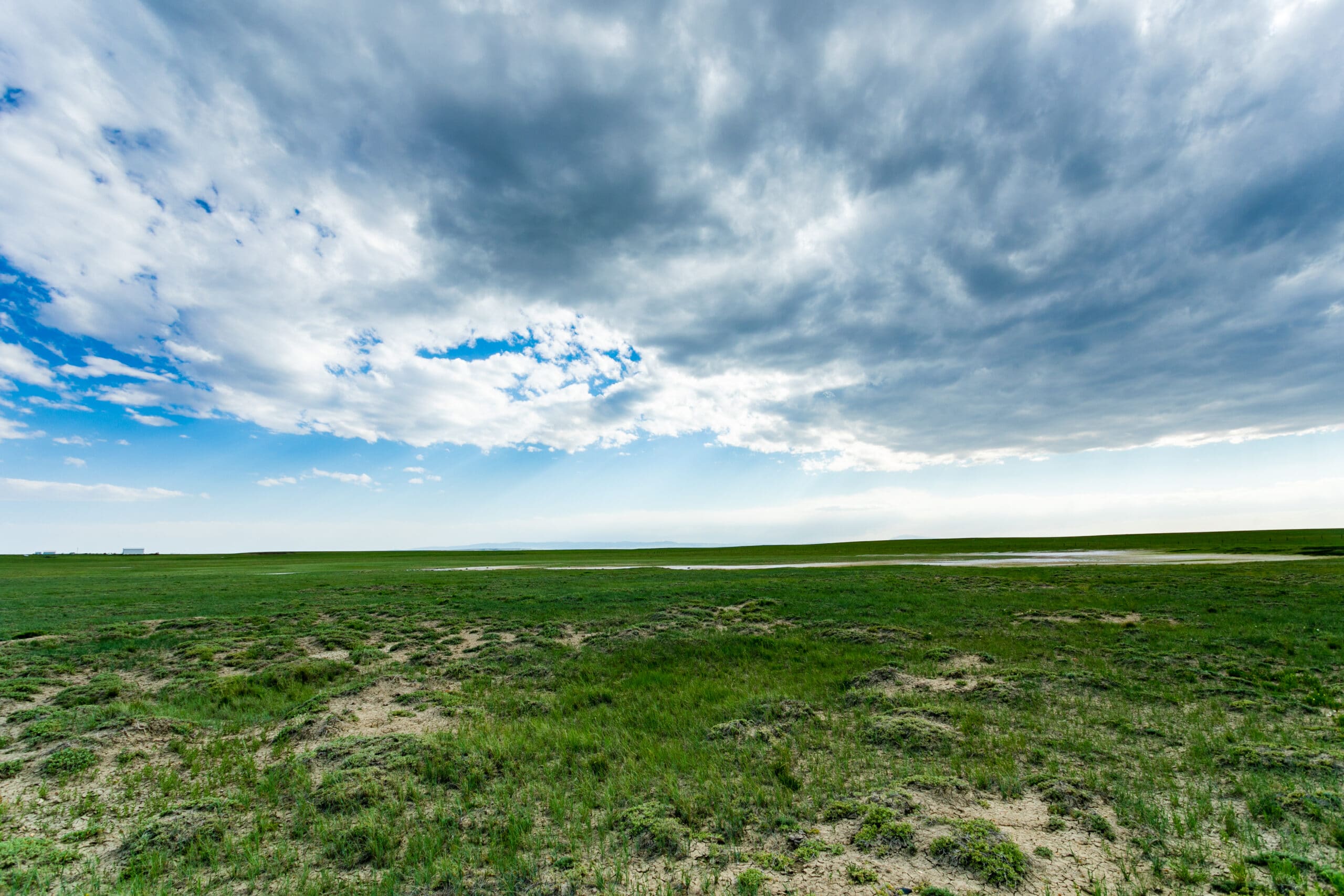
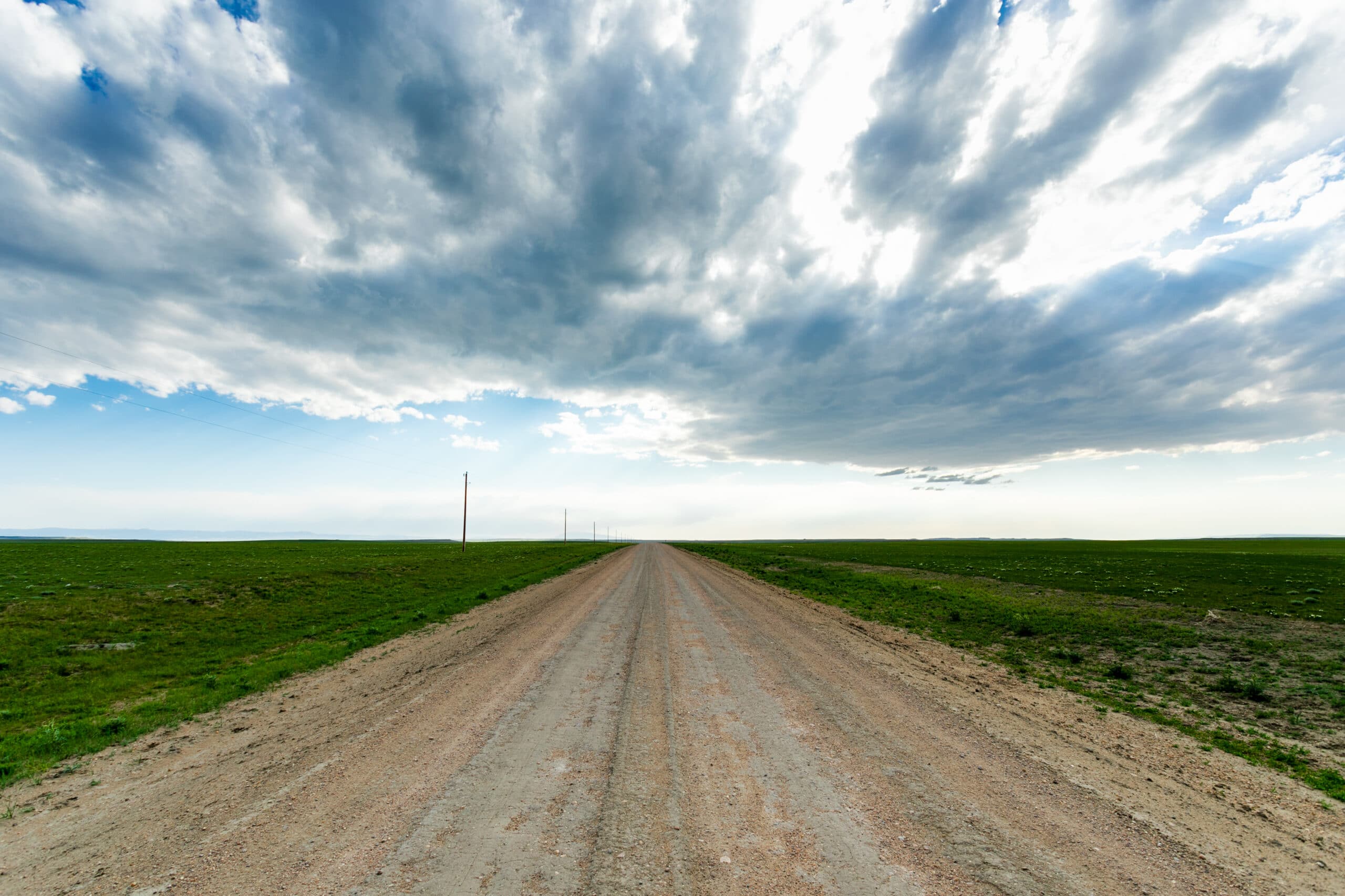
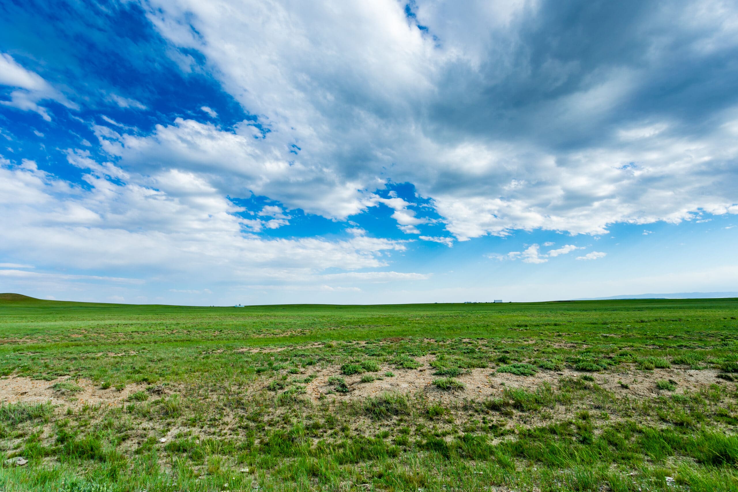
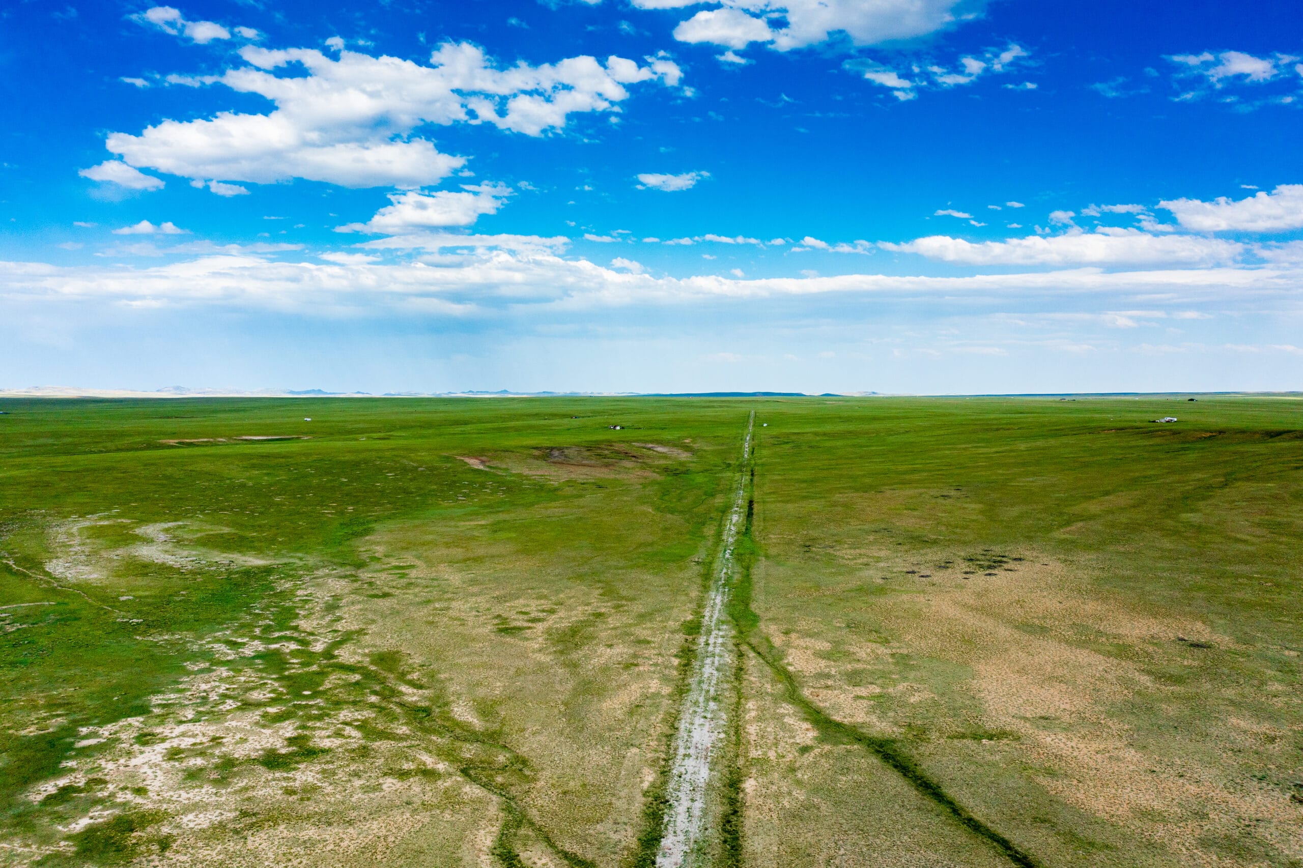
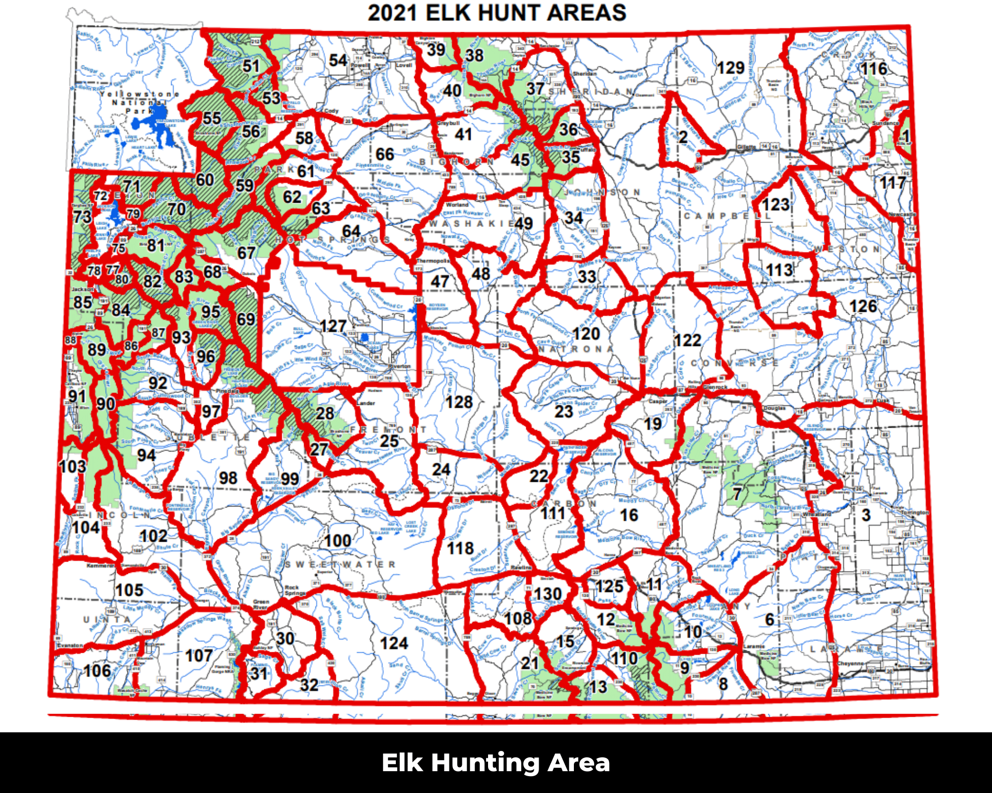
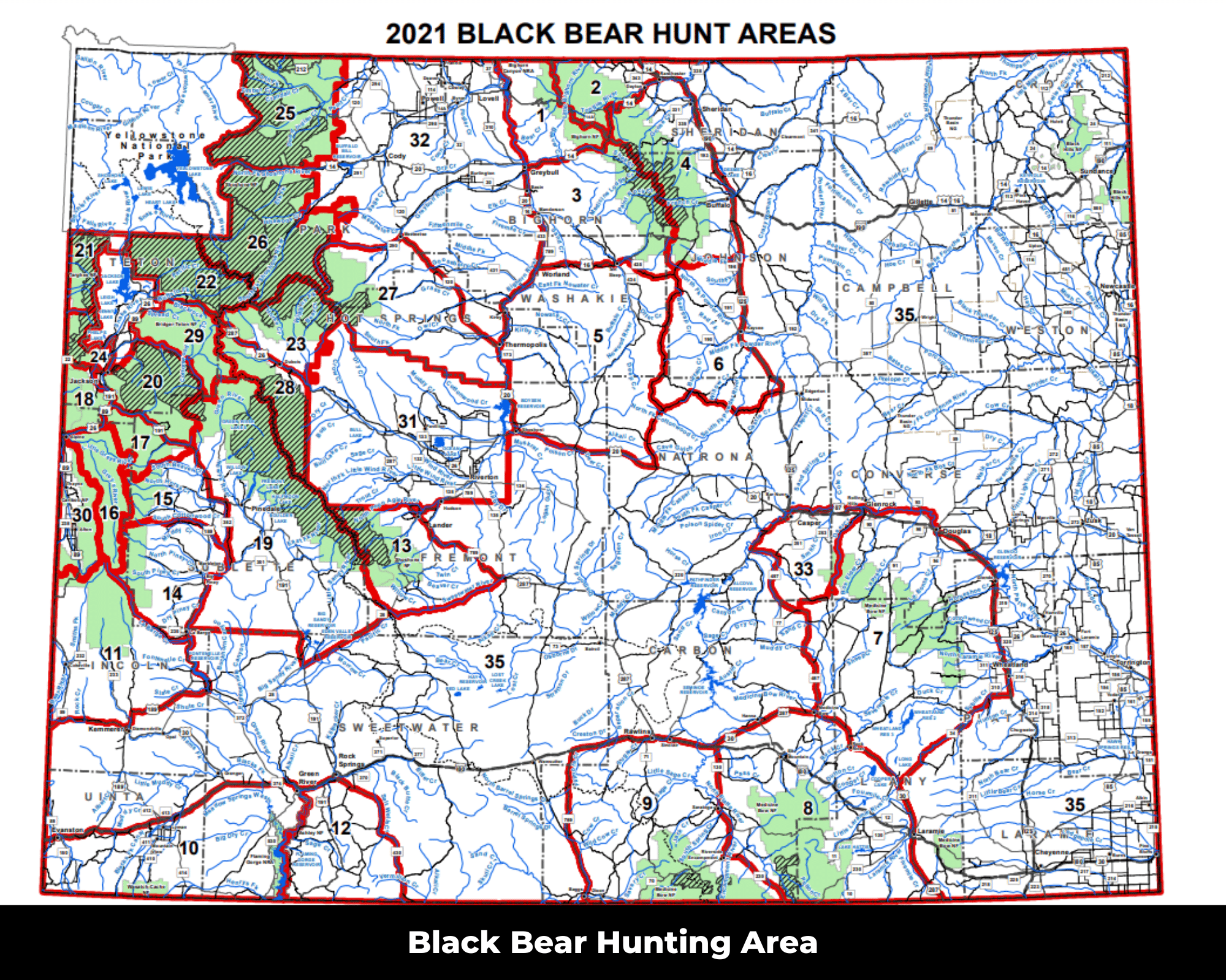
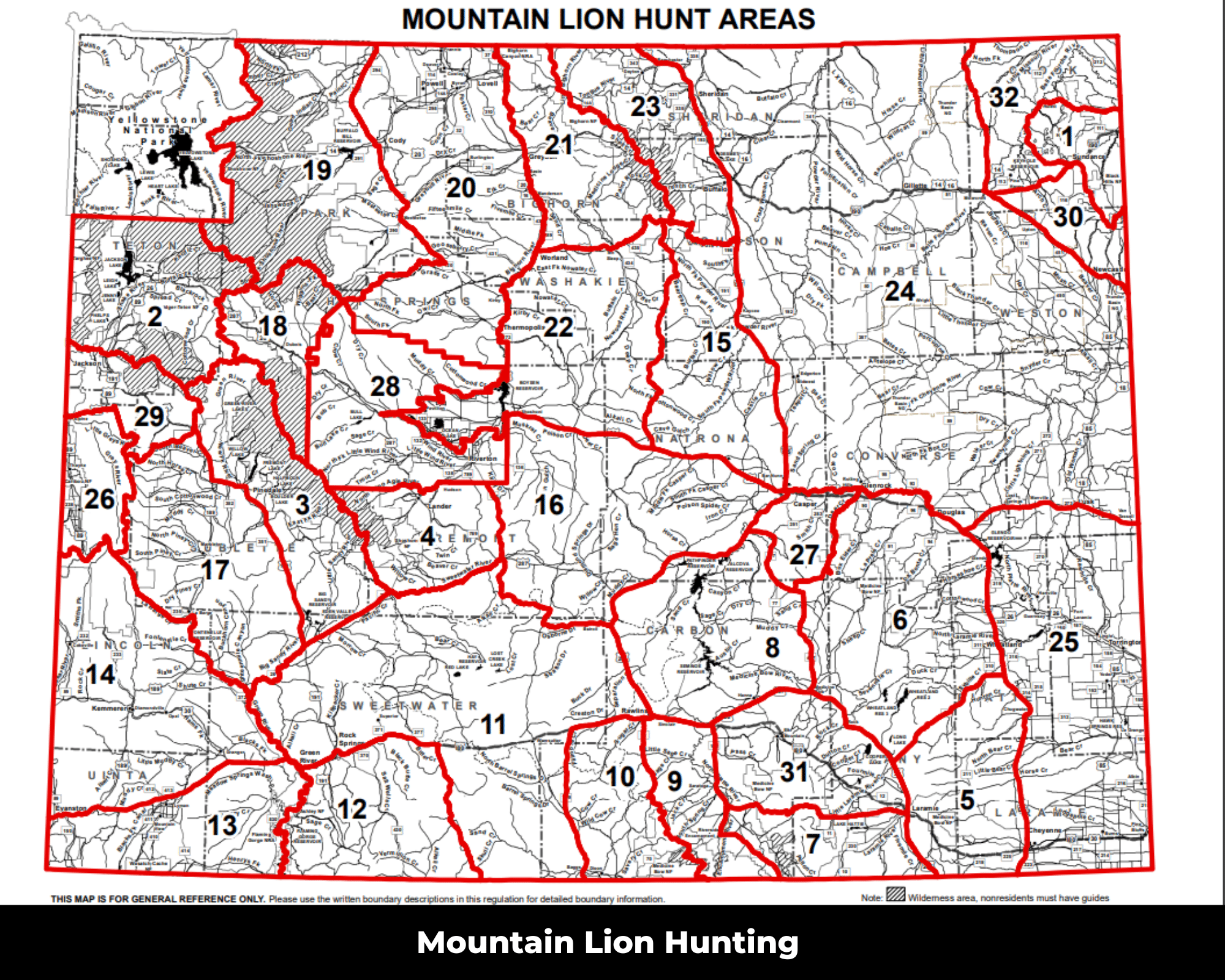
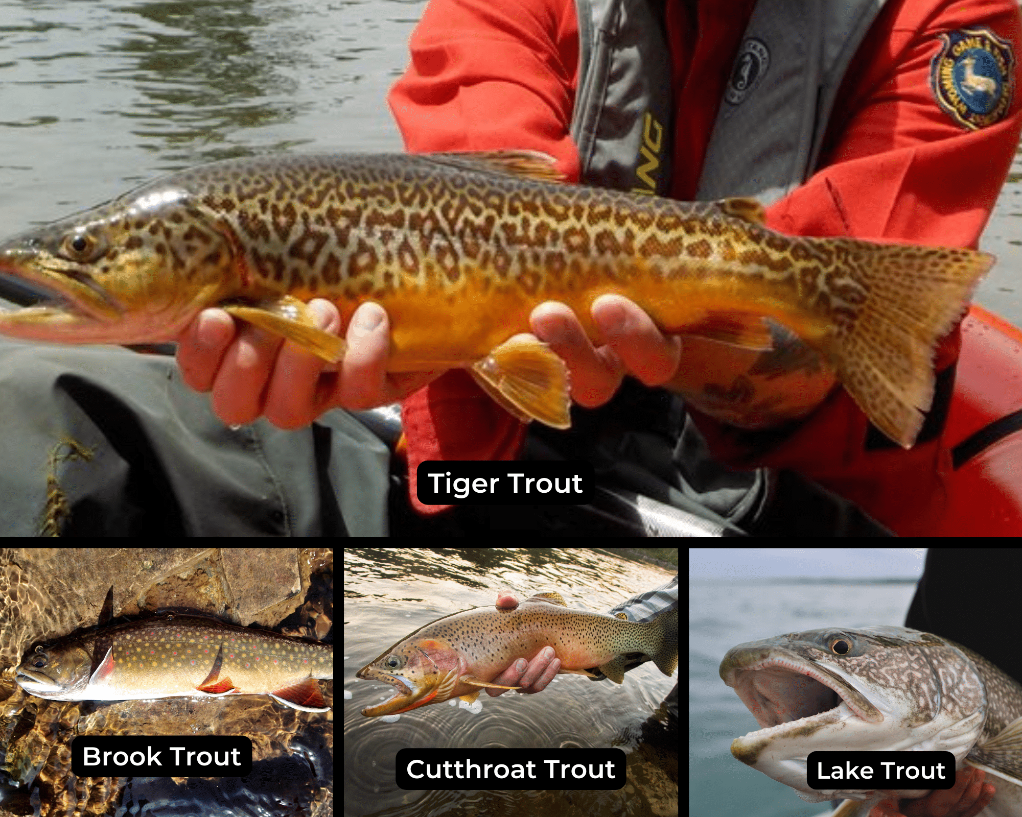
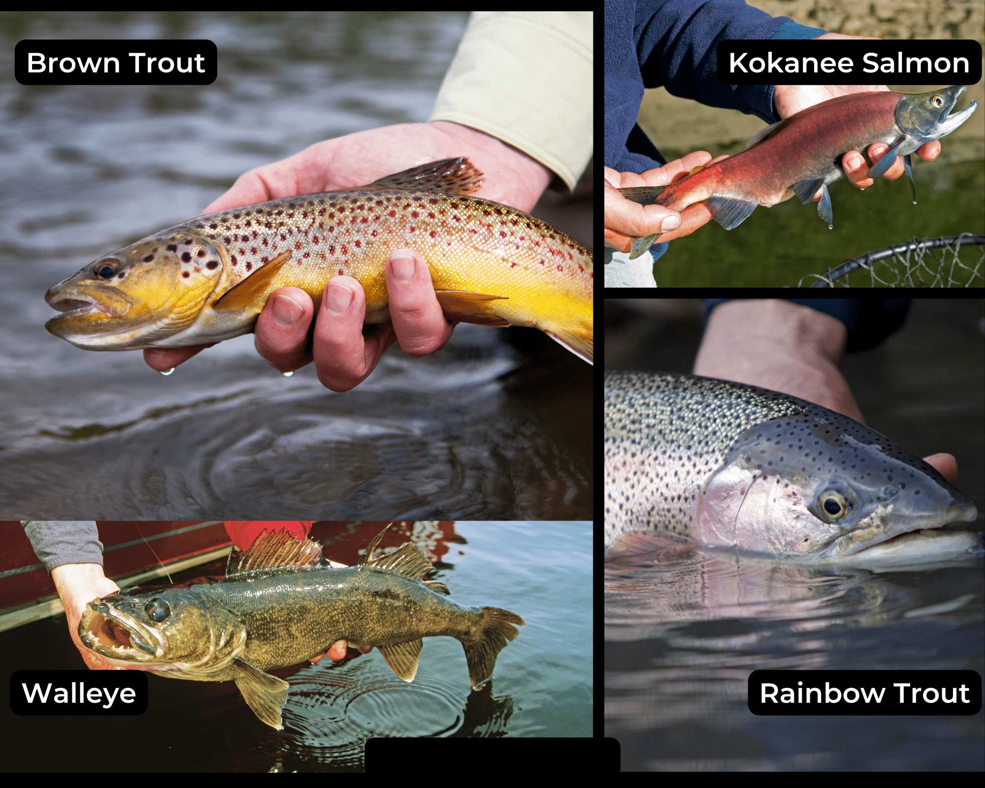
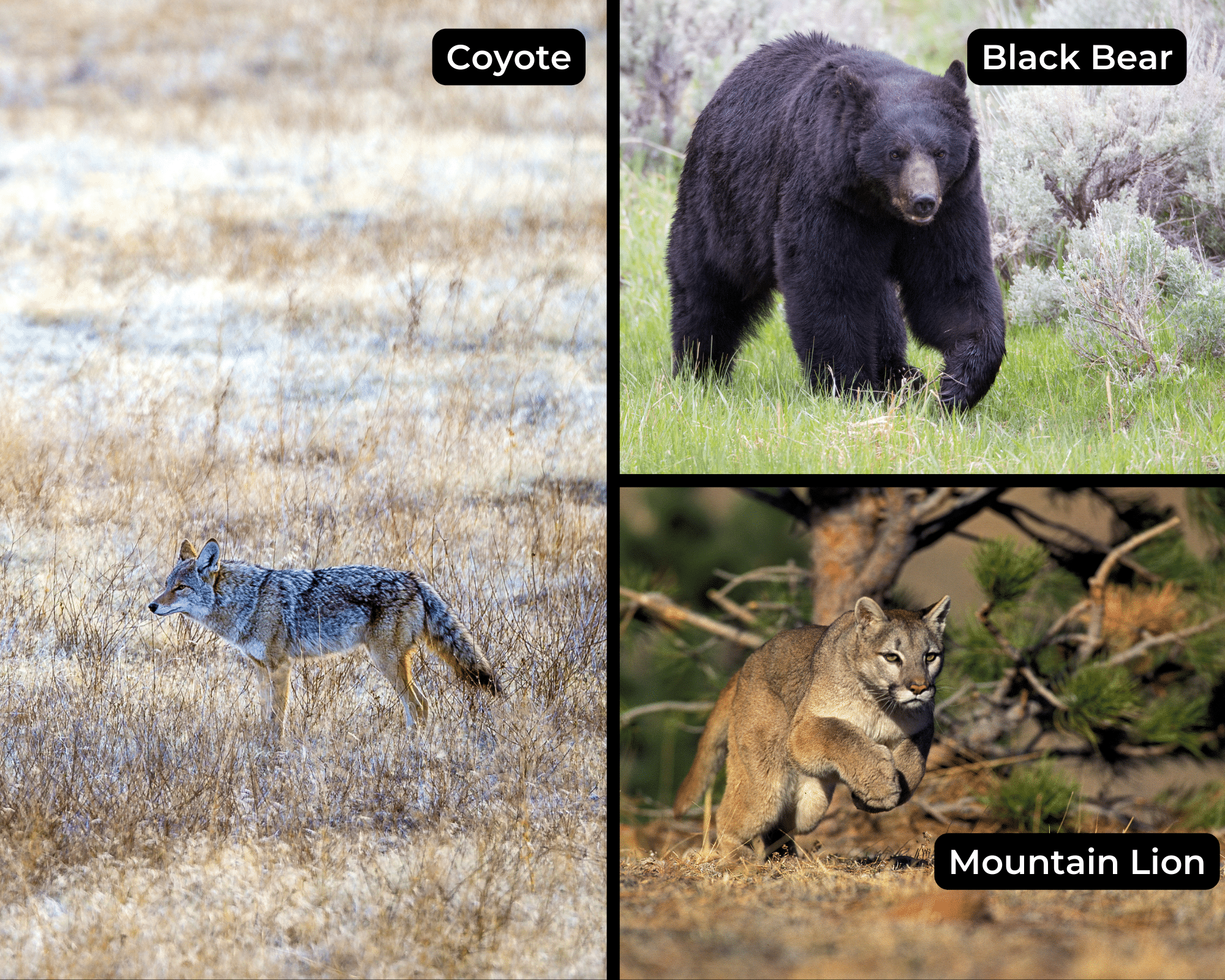
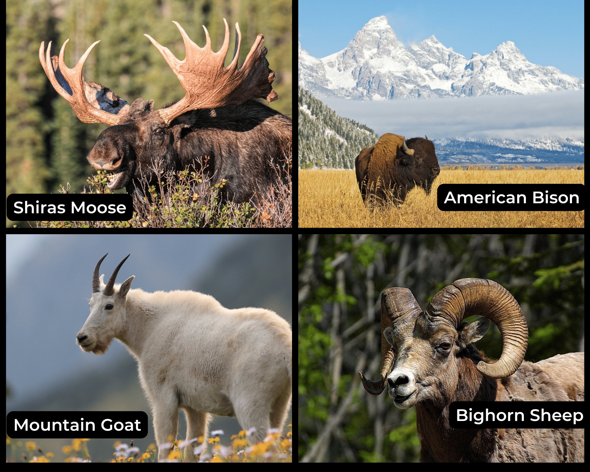
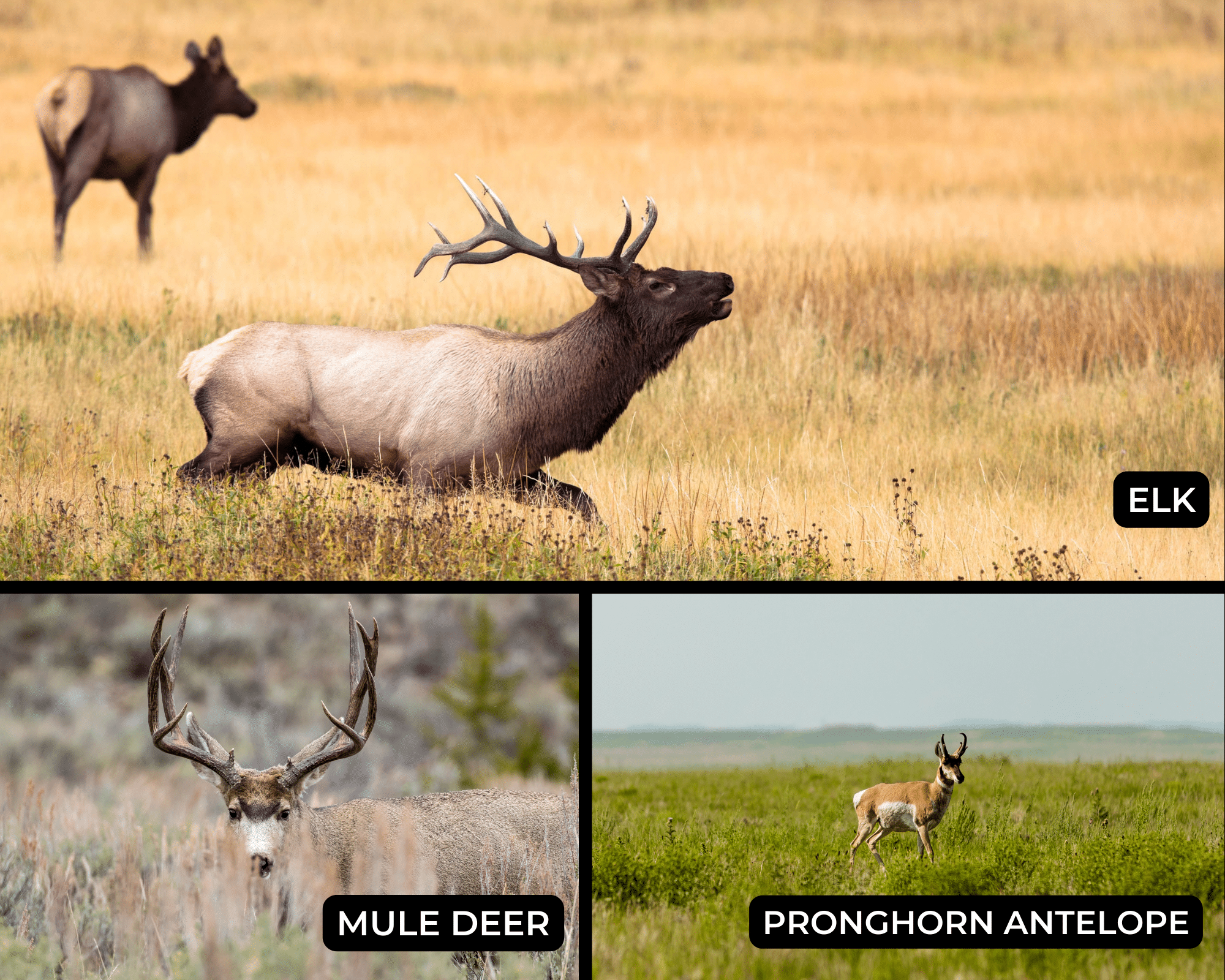
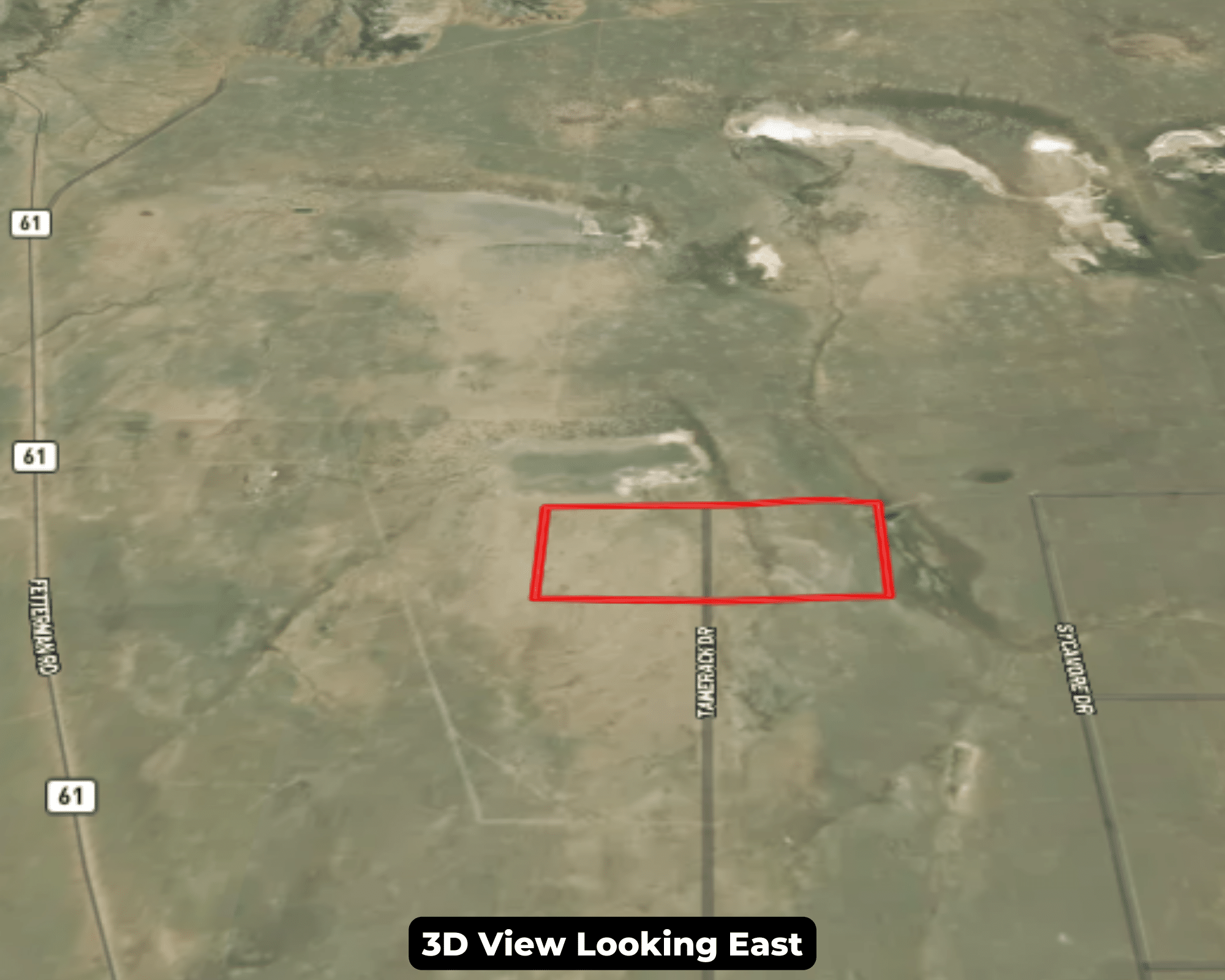
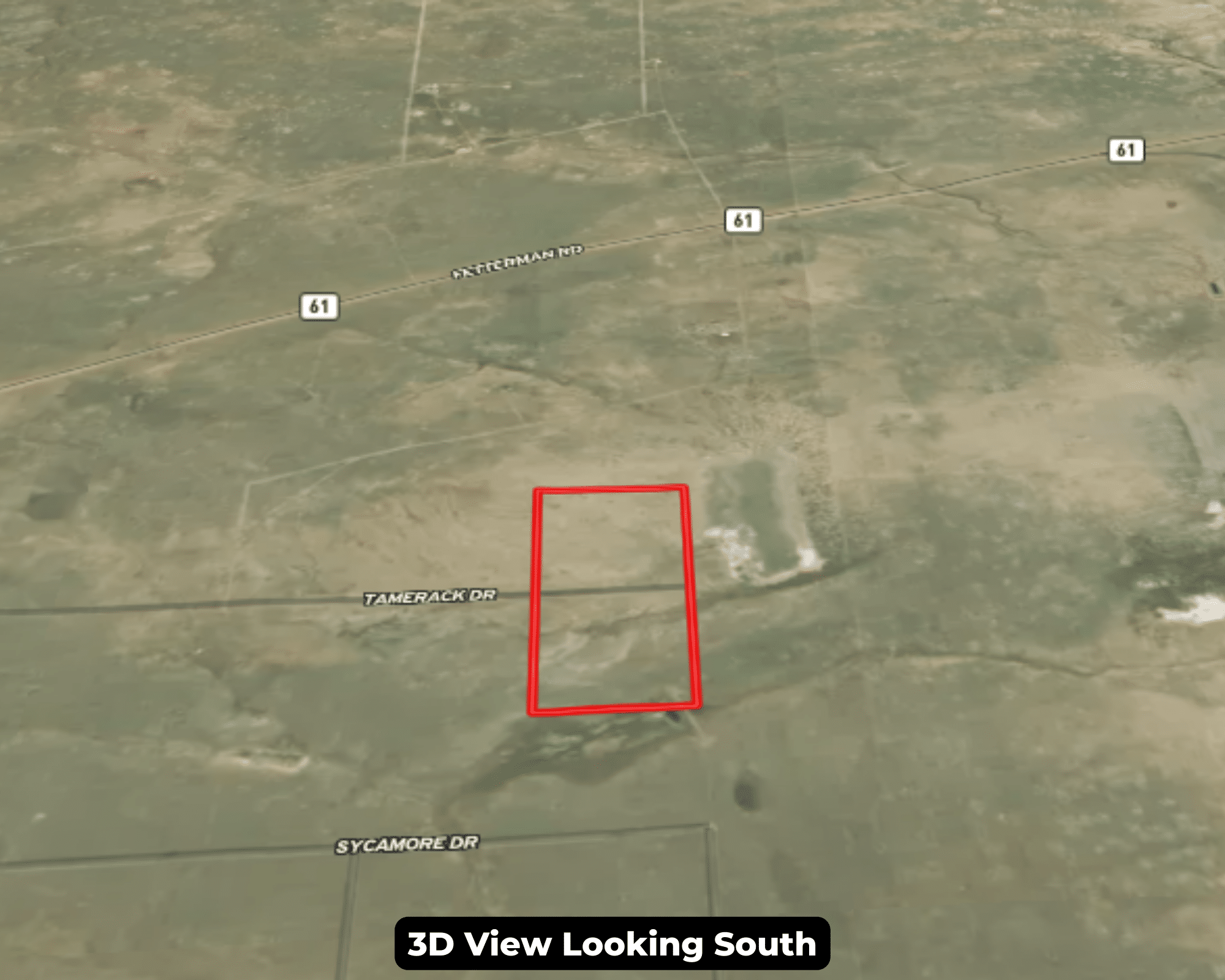
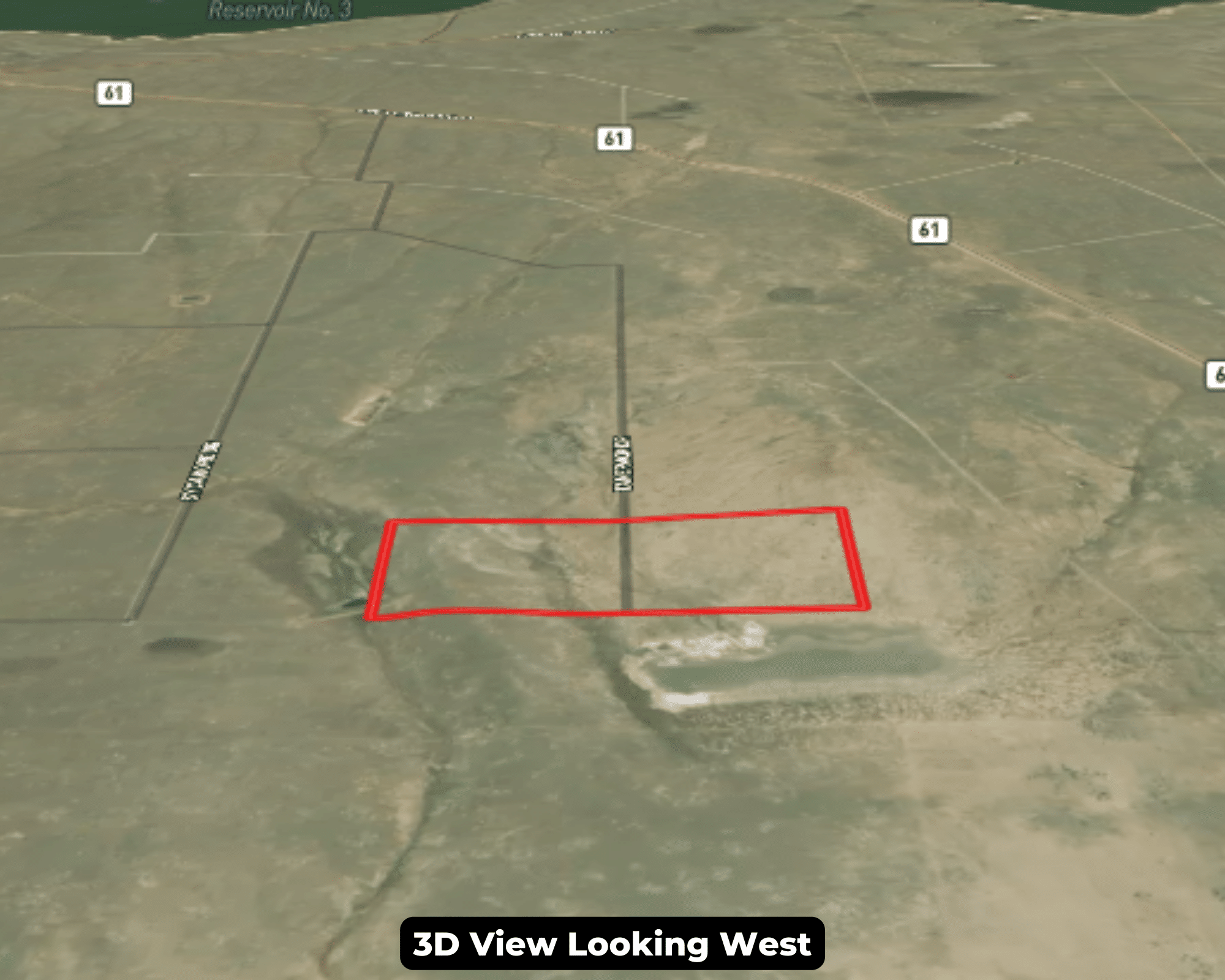
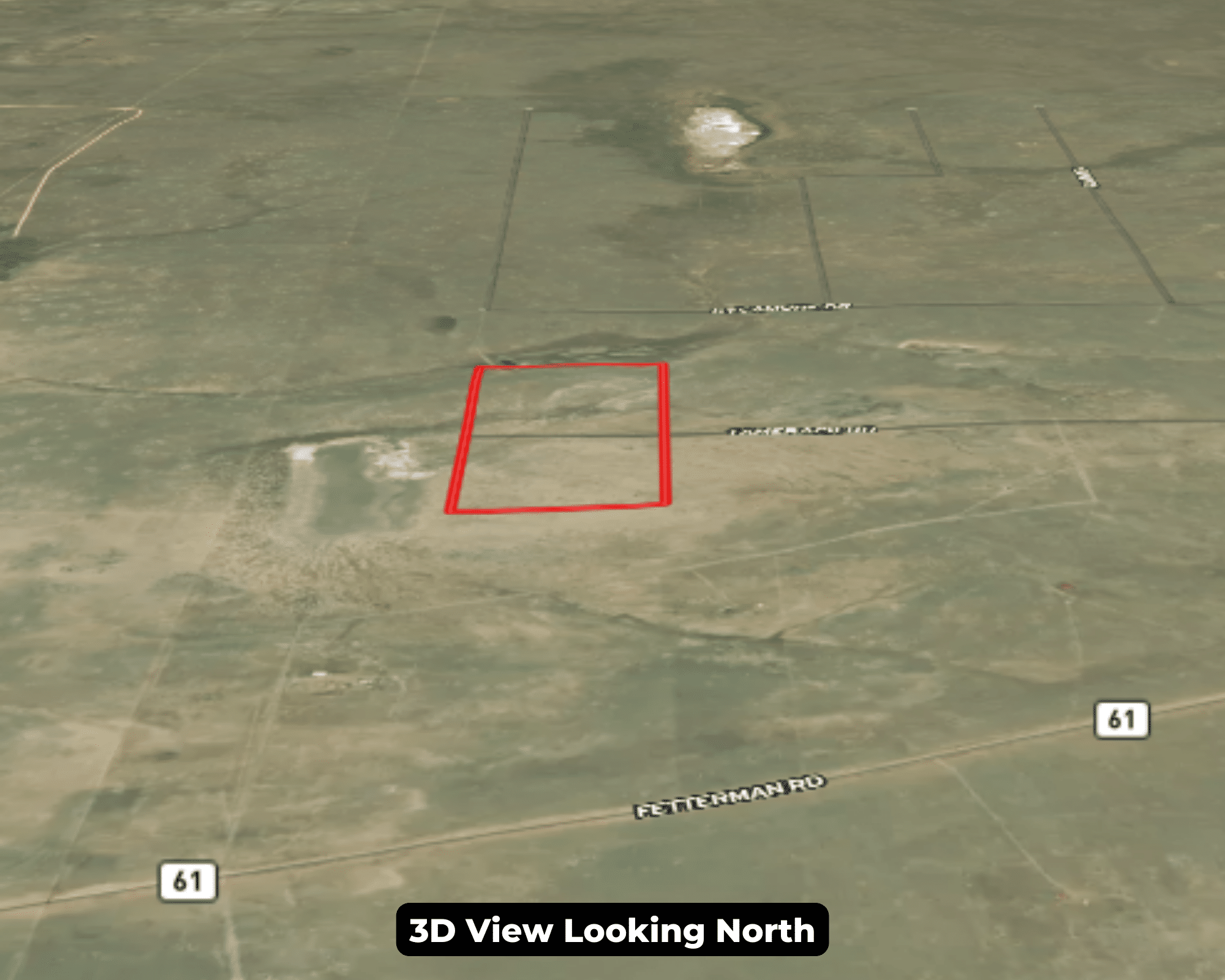
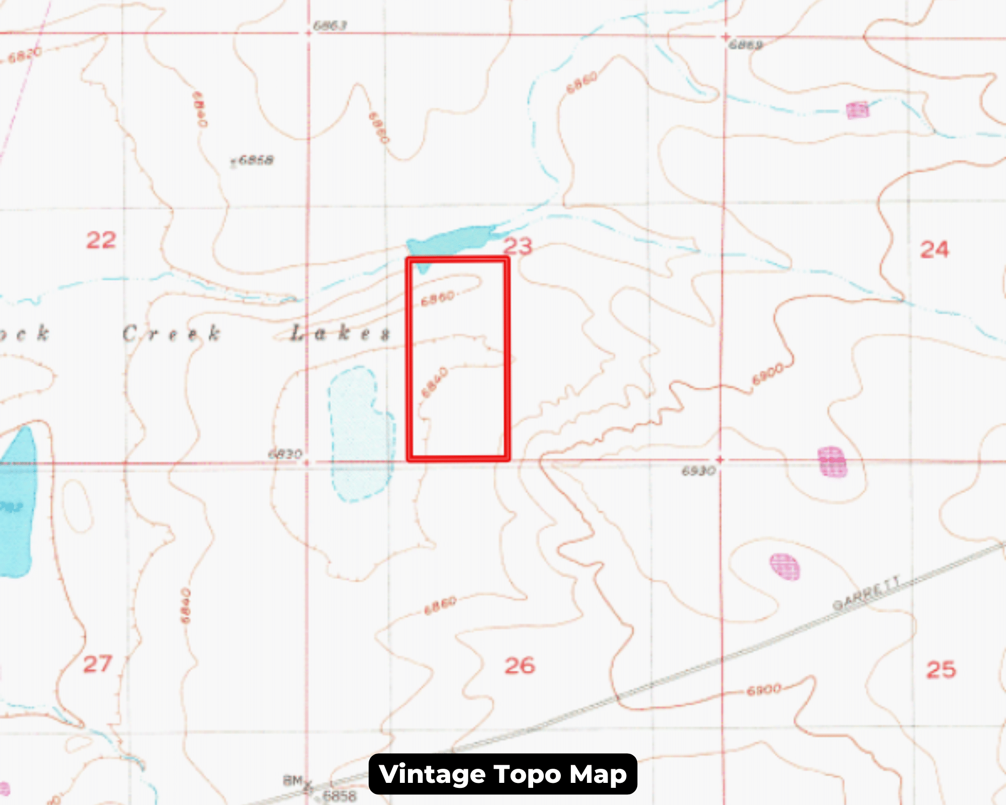
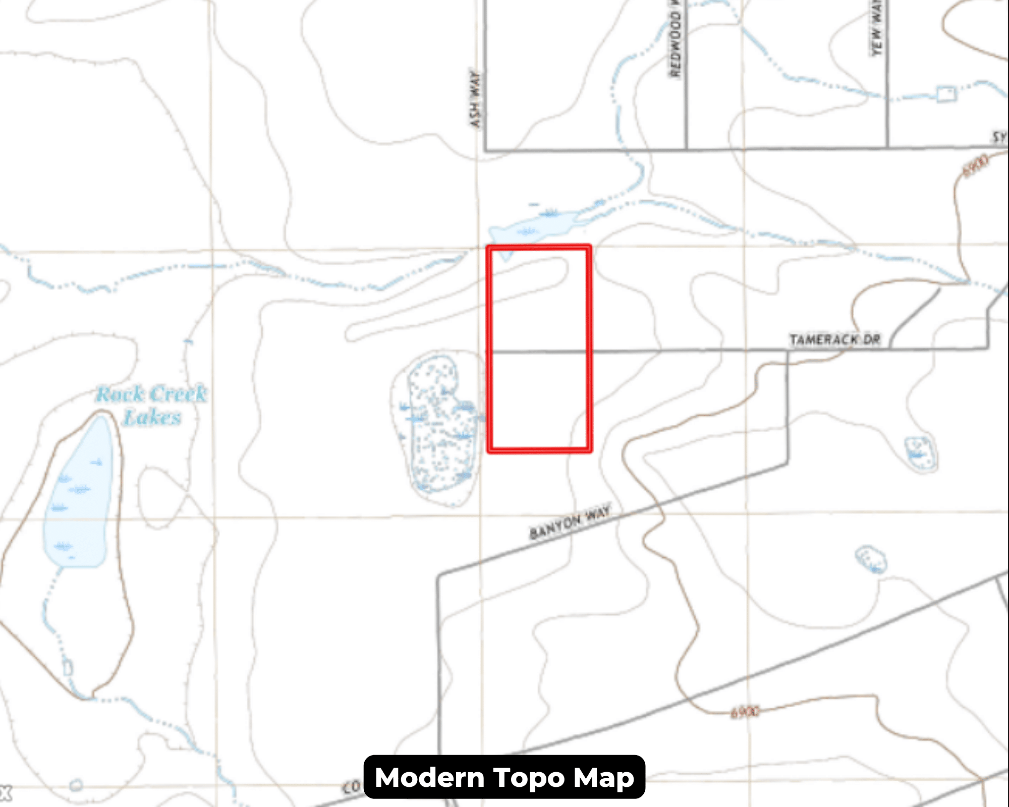
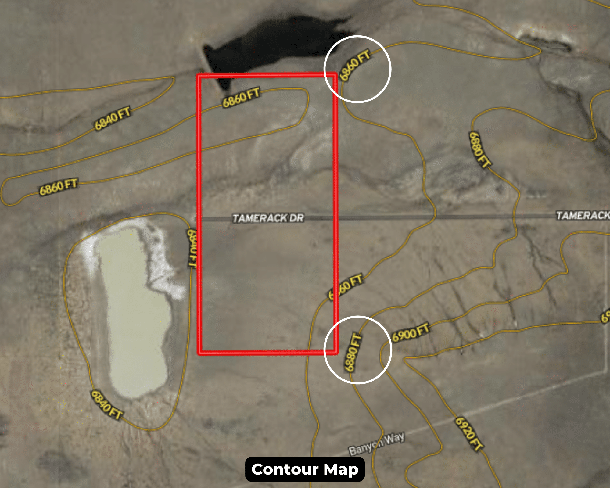
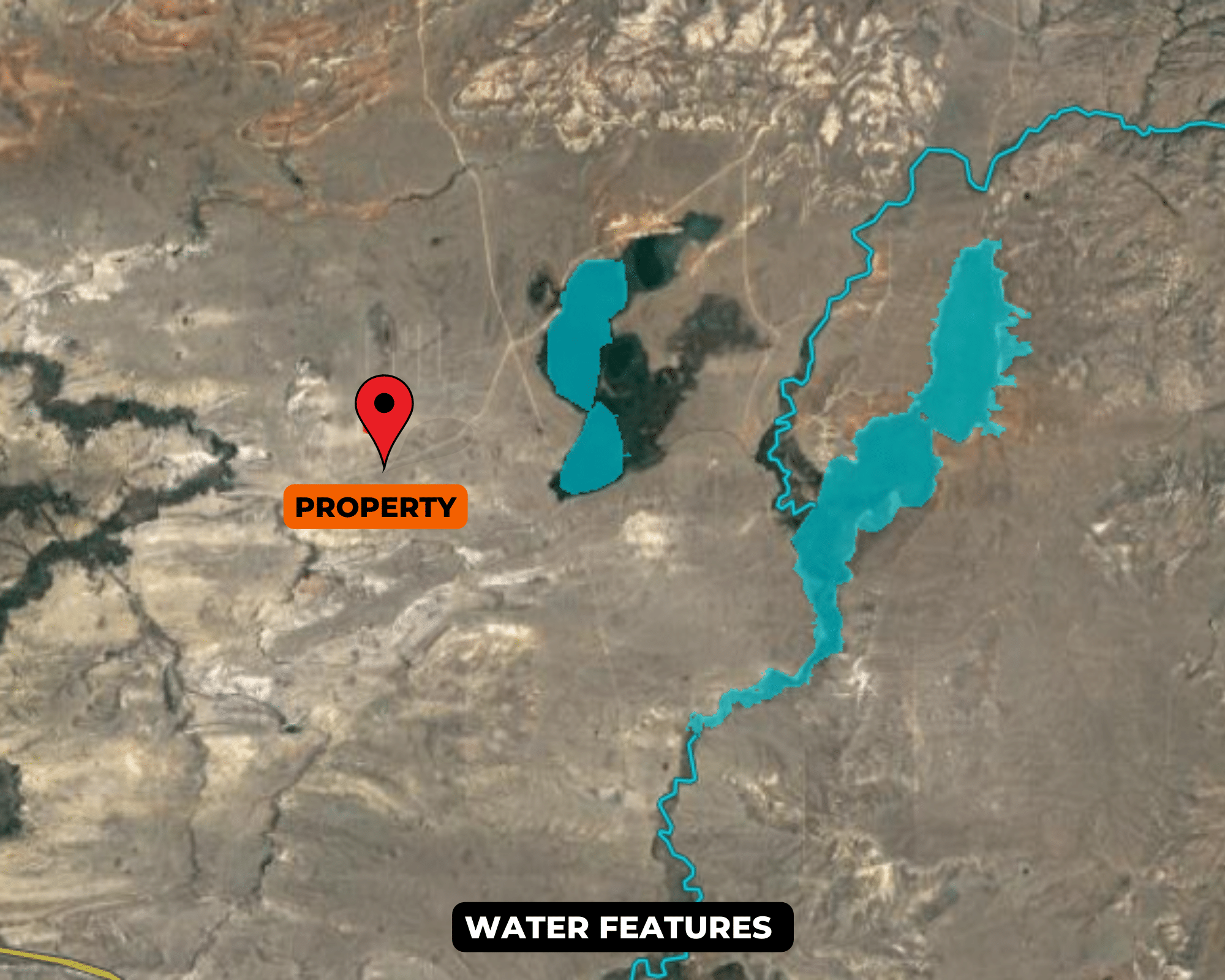
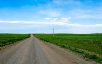
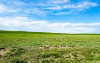
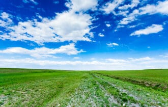
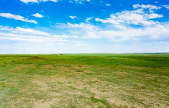
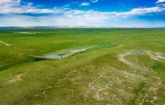
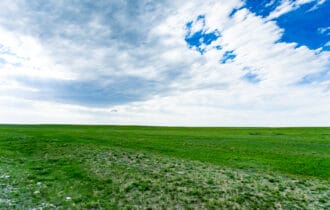
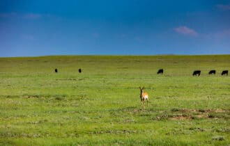
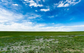
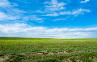
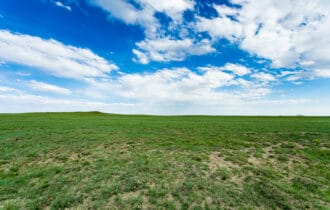
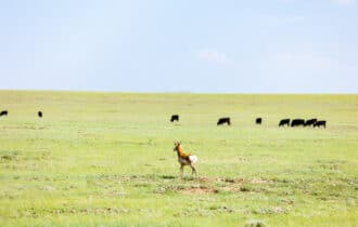
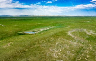
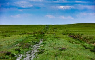
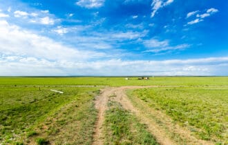
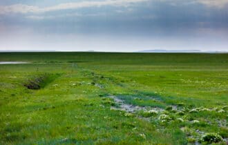
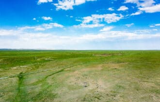
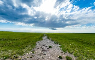
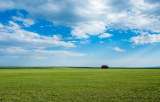
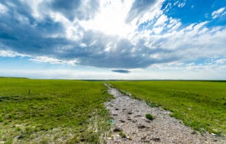
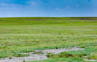
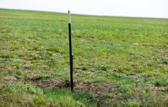
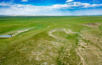
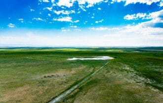
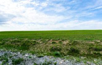
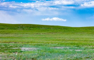
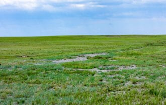
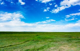
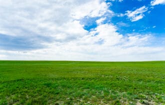
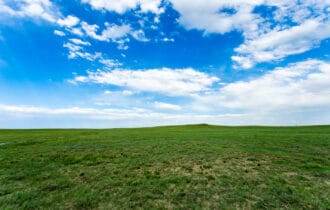
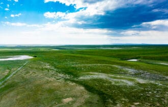
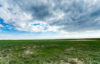
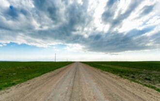
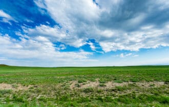
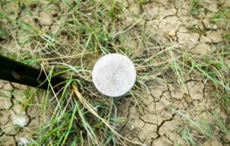
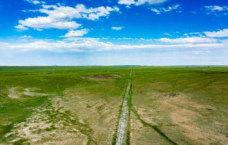
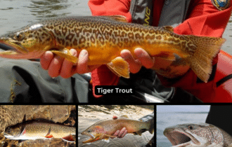
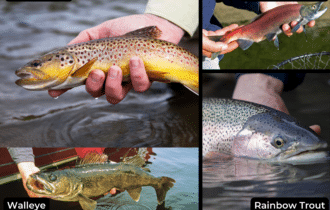
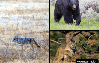
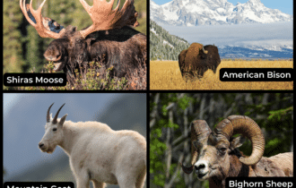
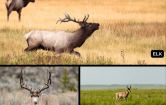
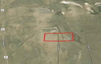
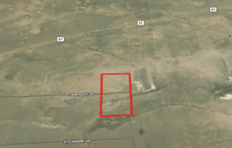
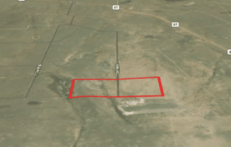
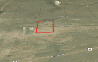
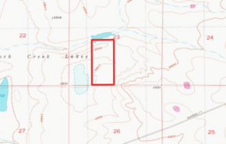
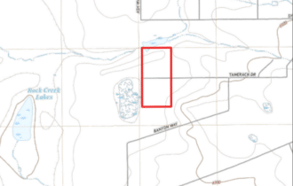
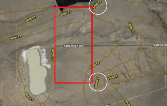
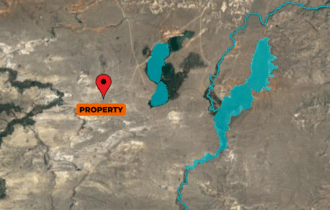
Build, camp, graze, or hunt – this 70.03-acre lot in rural Albany County has endless possibilities! This is prime hunting land with a small stock pond on the northern boundary and a large stock pond on a neighbor’s property adjacent to the western property line. Mule deer and Shirley Basin pronghorn antelope are plentiful here. The Snowy Range has healthy populations of Shiras moose and elk, and bighorn sheep are in nearby Sybille Canyon, making this a prime location for a hunting camp. The closest neighbor to this property is 1.75 miles away, so you will have lots of privacy to enjoy your land your way. Access is easy from Tamarack Road, a dead-end dirt road with only one property beyond this one.
Laramie is just an hour away. This is the home of the University of Wyoming, so the city has an overall youthful vibe and plenty of activities for residents of all ages. Cost of living, unemployment, and the crime rate are all low here, making it an attractive place for young families to live. Laramie is a sanctuary for history buffs and outdoor lovers. Spend an afternoon exploring the Wyoming Territorial Prison State Historic Site or the University of Wyoming’s Geological Museum. Downtown is very walkable with both a brewery tour and a modern art tour. In the summer, climb the unique rock formations in the Vedauwoo Recreation Area, and, in the winter, hit the slopes at the Snowy Range Ski Area.
This 70.03-acre lot has endless possibilities, easy access, and no nearby neighbors. It will not last long at this price, so contact me today for more information.
Property Video
Visiting the Property
You are welcome to visit the property at your convenience and anytime while it's still available. However, we HIGHLY recommend checking-in with us prior to visiting the property in case the property has gone under contract (or sold).
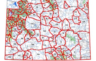
The interactive map above is generated with MapRight. MapRight has free apps for Apple and Android that can be used to track your location and route throughout a property and provide driving directions.
MapRight for Apple –> Download App.
MapRight for Android –> Download App.
To launch the interactive map on your device, 1) install the free MapRight app using one of the two links above for Apple or Android, and 2) click the “View Full Screen” link (see above) in the embedded map on the property listing page.
Property Information
Parcel Size
70 Acres
State
Wyoming
County
Albany
Nearest Cities
Rock River, WY
Parcel #
05-2275-23-3-01-077.00
Address
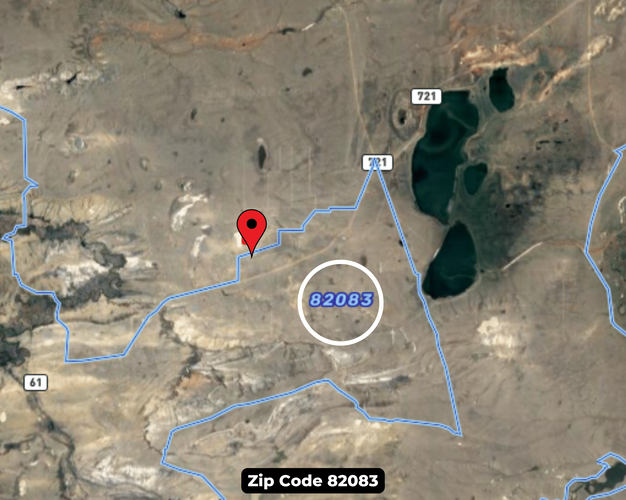
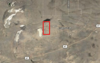
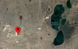
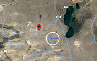
00 Tamerack Road, Rock River, WY, 82083
Legal Description
MED BOW RNCH PH1 TR 68; TR 69
Zip Code
82083
Annual Property Taxes
$207.68
Ag Exemption
No
HOA
No
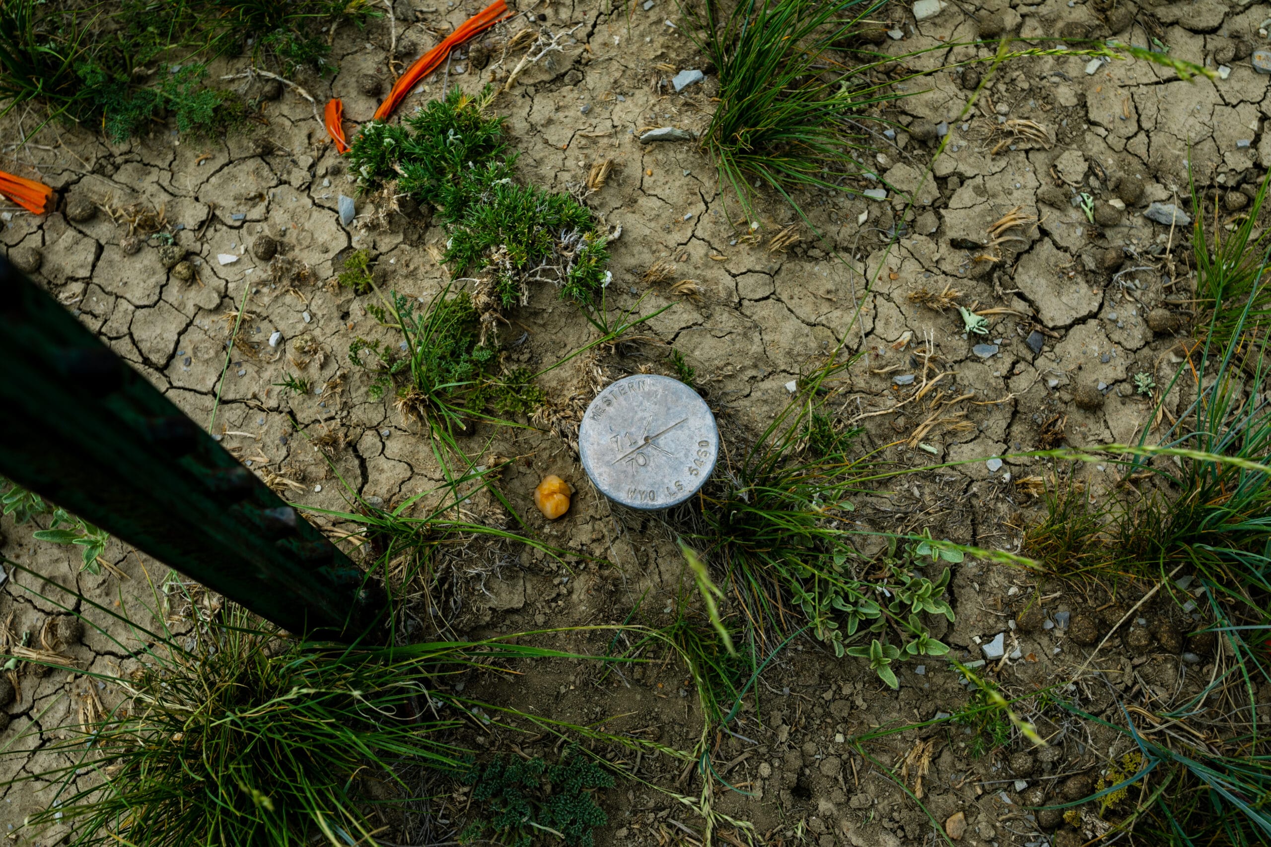
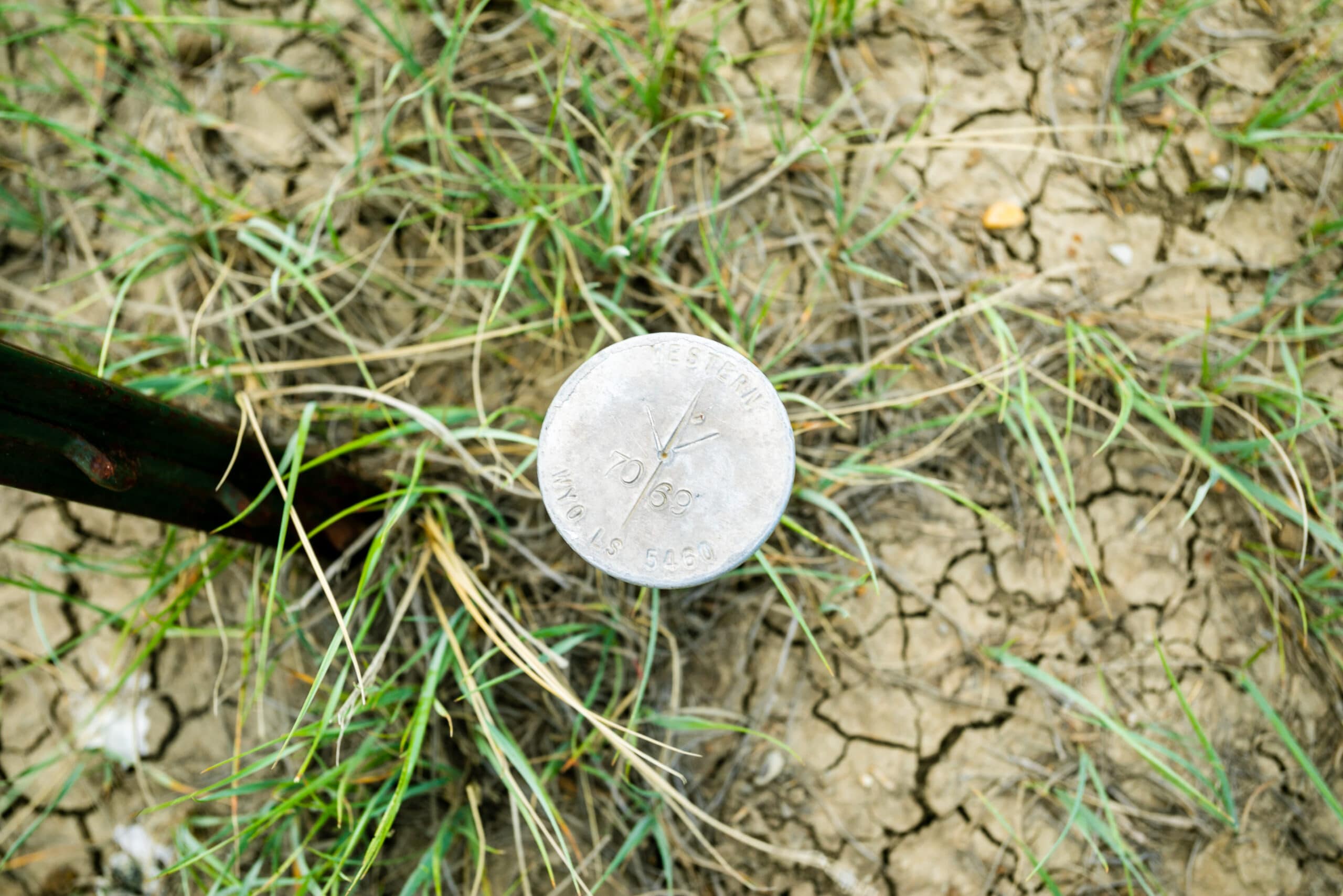
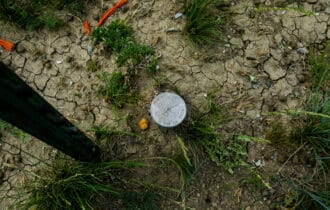
Survey Available
No
School District
Albany
Liens and Back Taxes
None!
Source Deed
TBD
Title Status
Free & Clear!
Outgoing Conveyance
Warranty Deed
Property Features
Acres
70
Dimension
1230.24 ft x 2502.72 Ft x 1230.24 Ft x 2497.44 Ft Approx
County
Albany
Access
Yes
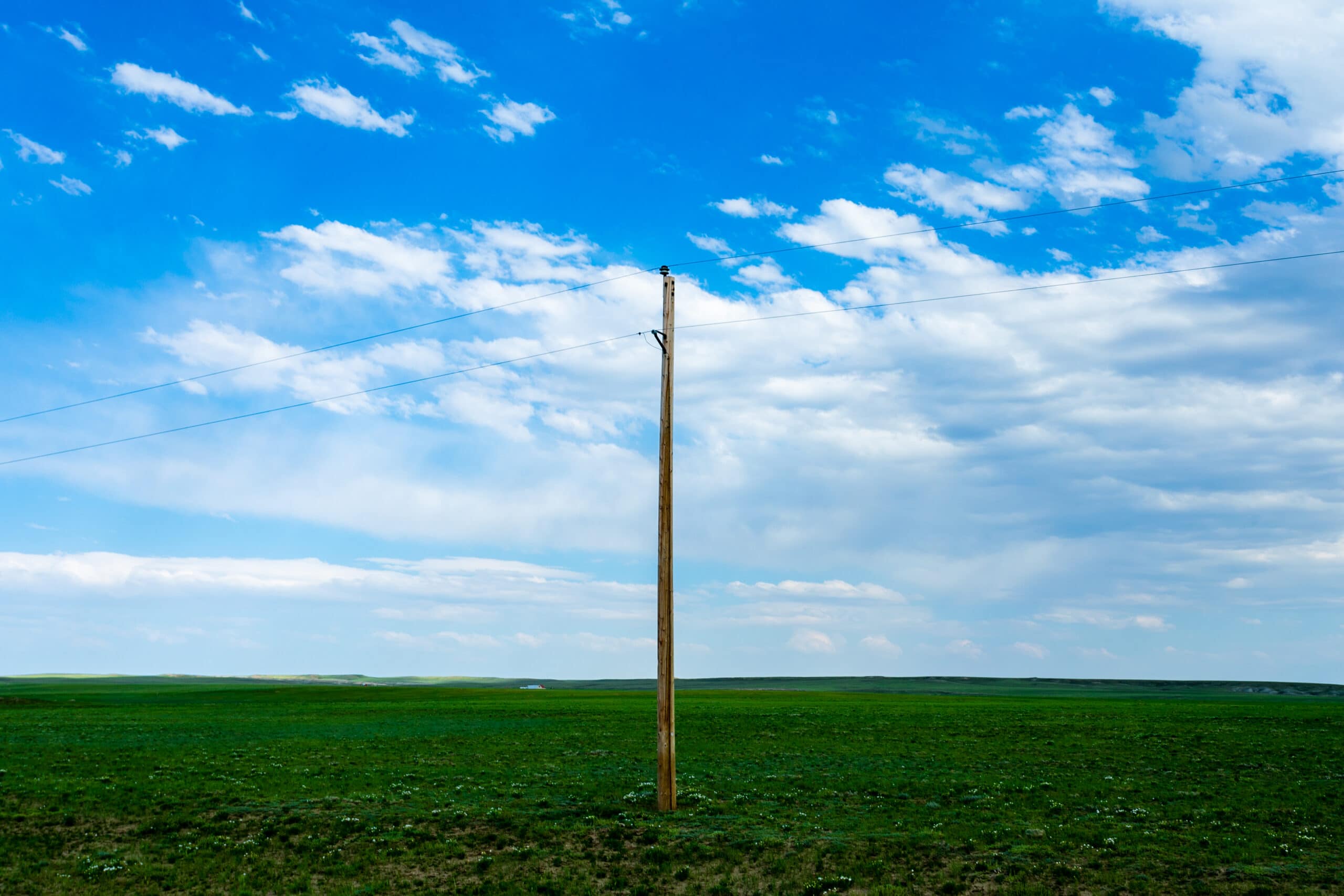
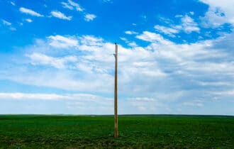
Power
Not available
Water
Alternative
Coordinates
41.860791, -105.792374
Zoning
Agricultural
Elevation
6840.6 Ft.
Terrain
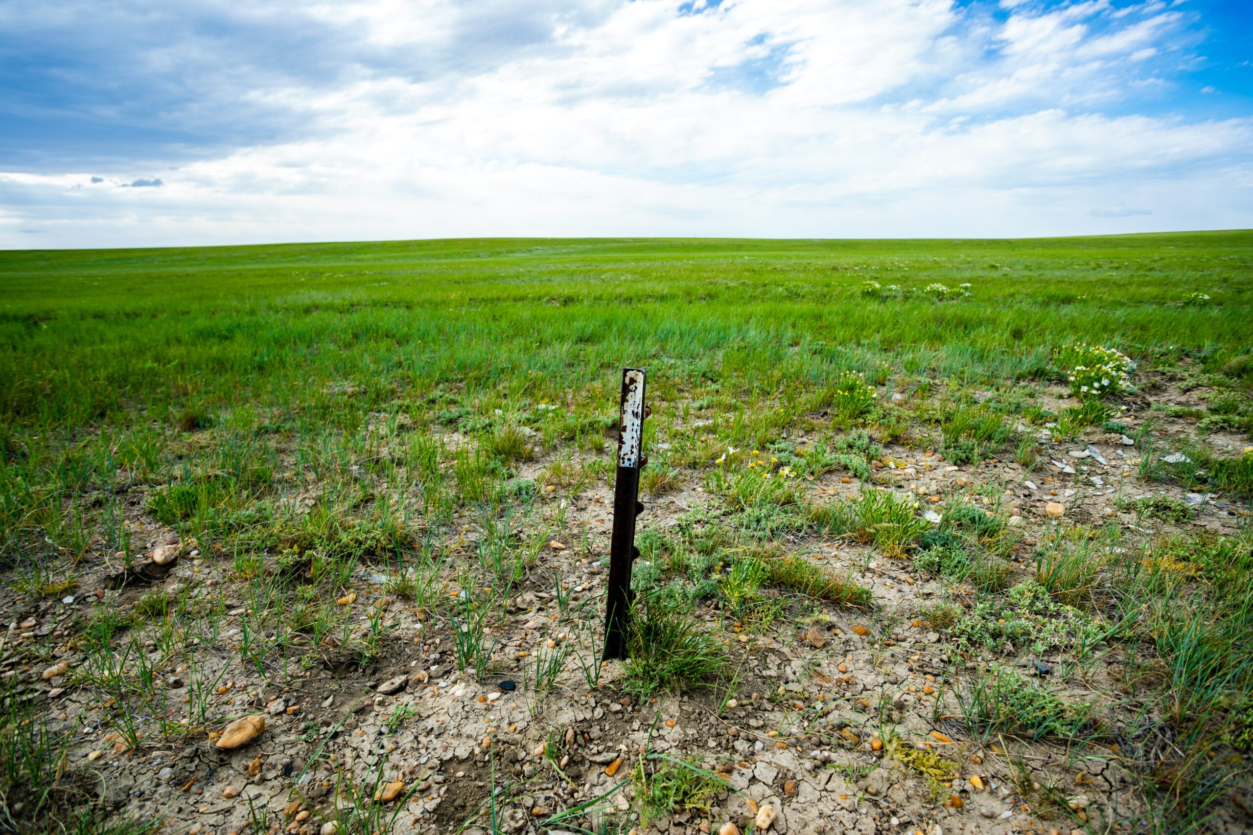
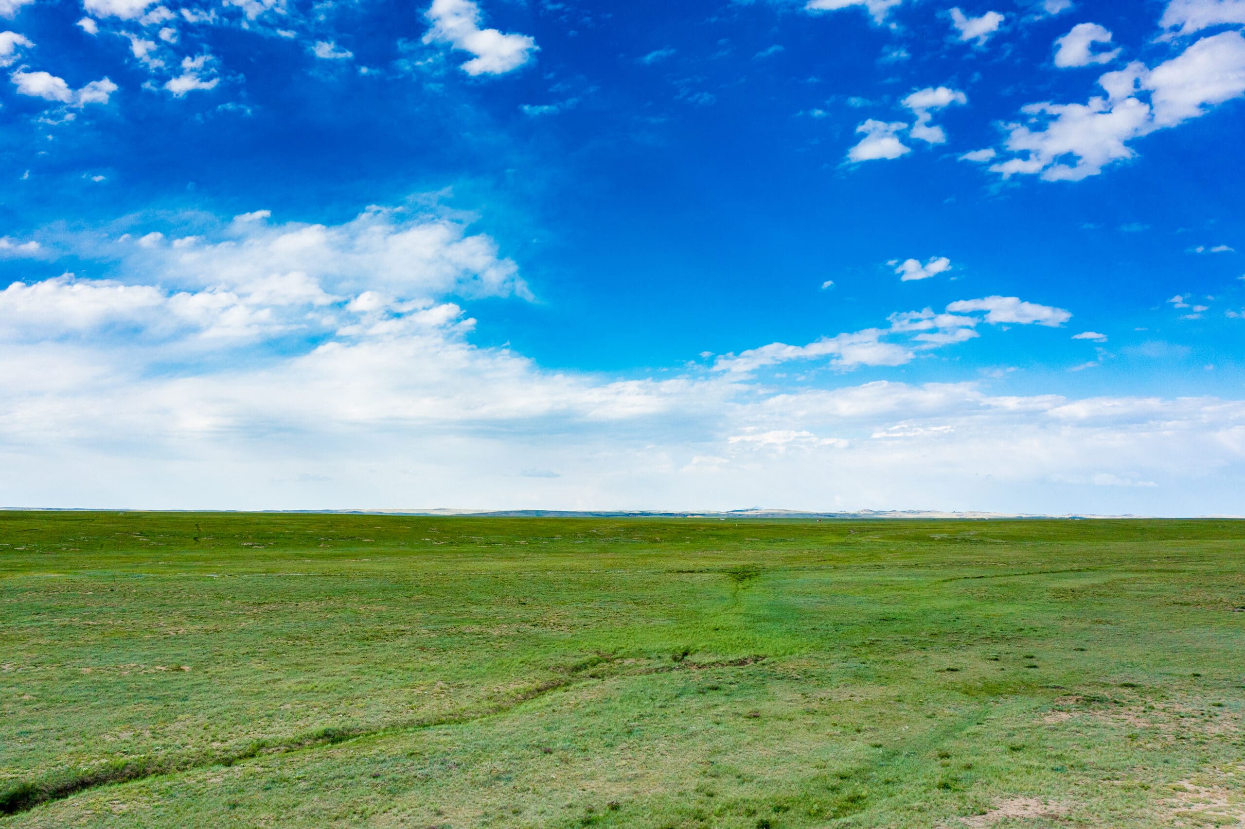
Flat
Floodplain
No
Mobiles
Yes
Tiny Homes
Yes
RV's
Yes
Camping
Yes
Utilities
🔌 Power: Solar, wind, propane, or alternative energy source.
💧 Water: Water well, collection, hauling/delivery, or alternative.
🚽 Sewer: Septic or alternative sewer system.
☎️ Phone: Cellular, VOIP (see internet below), and satellite phone through Iridium, Globalstar, or Inmarsat.
🌐 Internet: Satellite internet through HughesNet or ViaSat.
📺 Cable: Satellite cable through Dish or DirectTV.
Nearby Cities, Conveniences, and Attractions
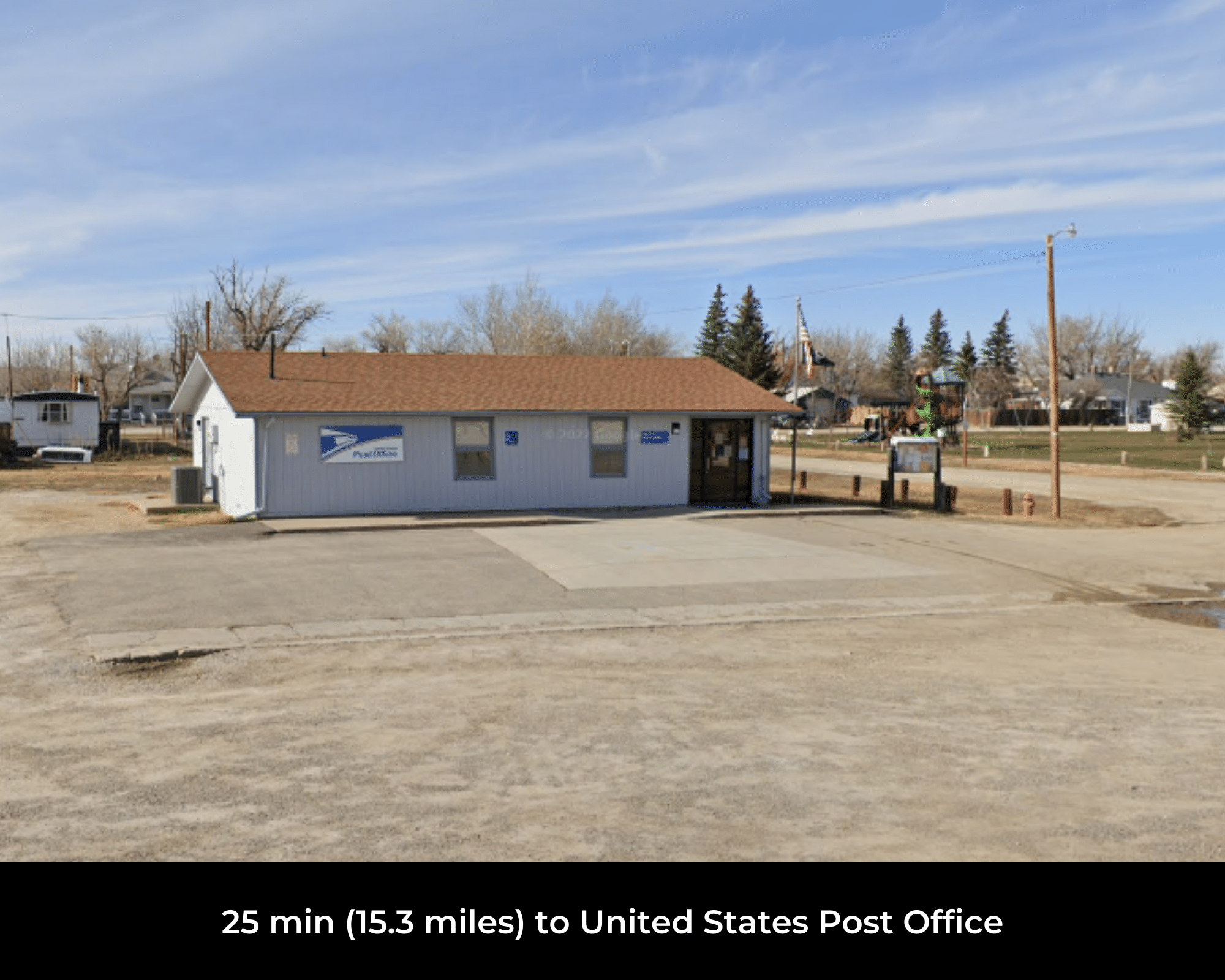
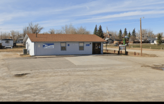
- 25 min (15.3 miles) to United States Post Office (about)
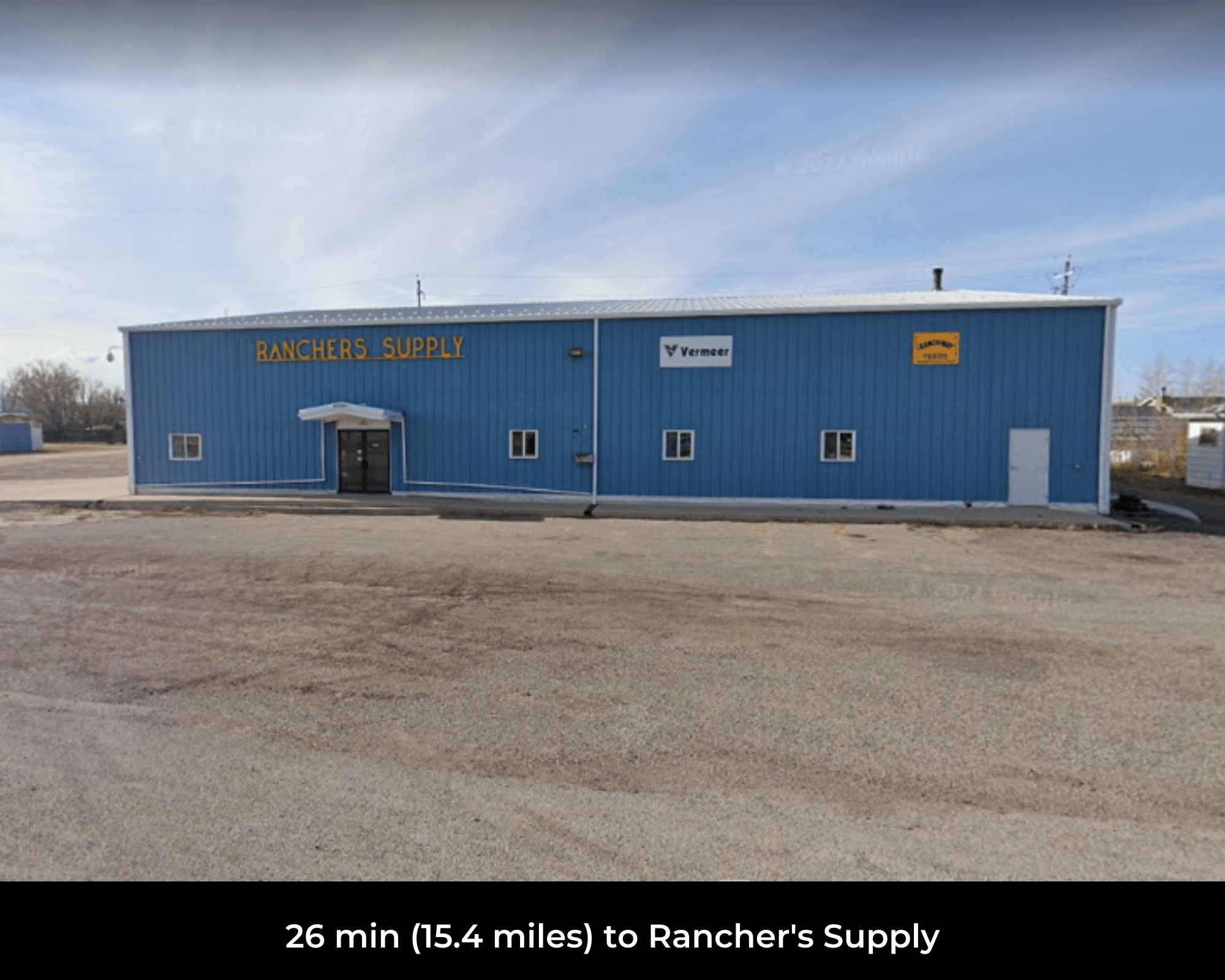
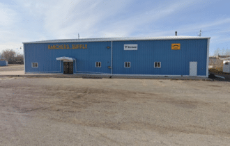
- 26 min (15.4 miles) to Ranchers Supply (about)
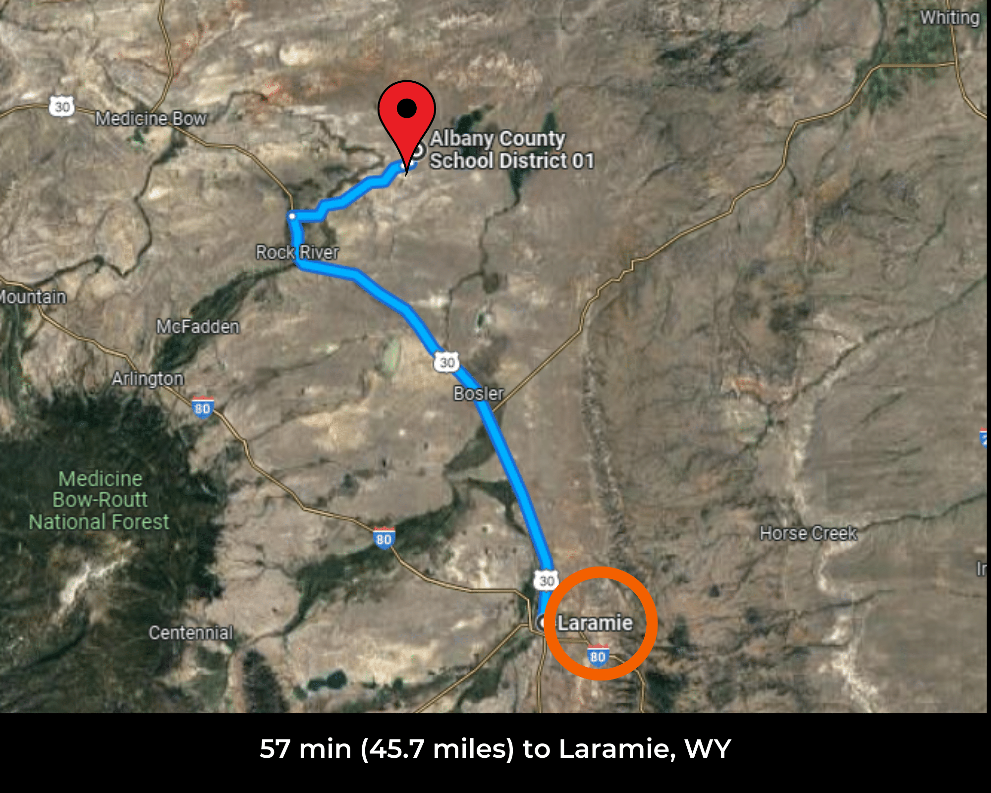
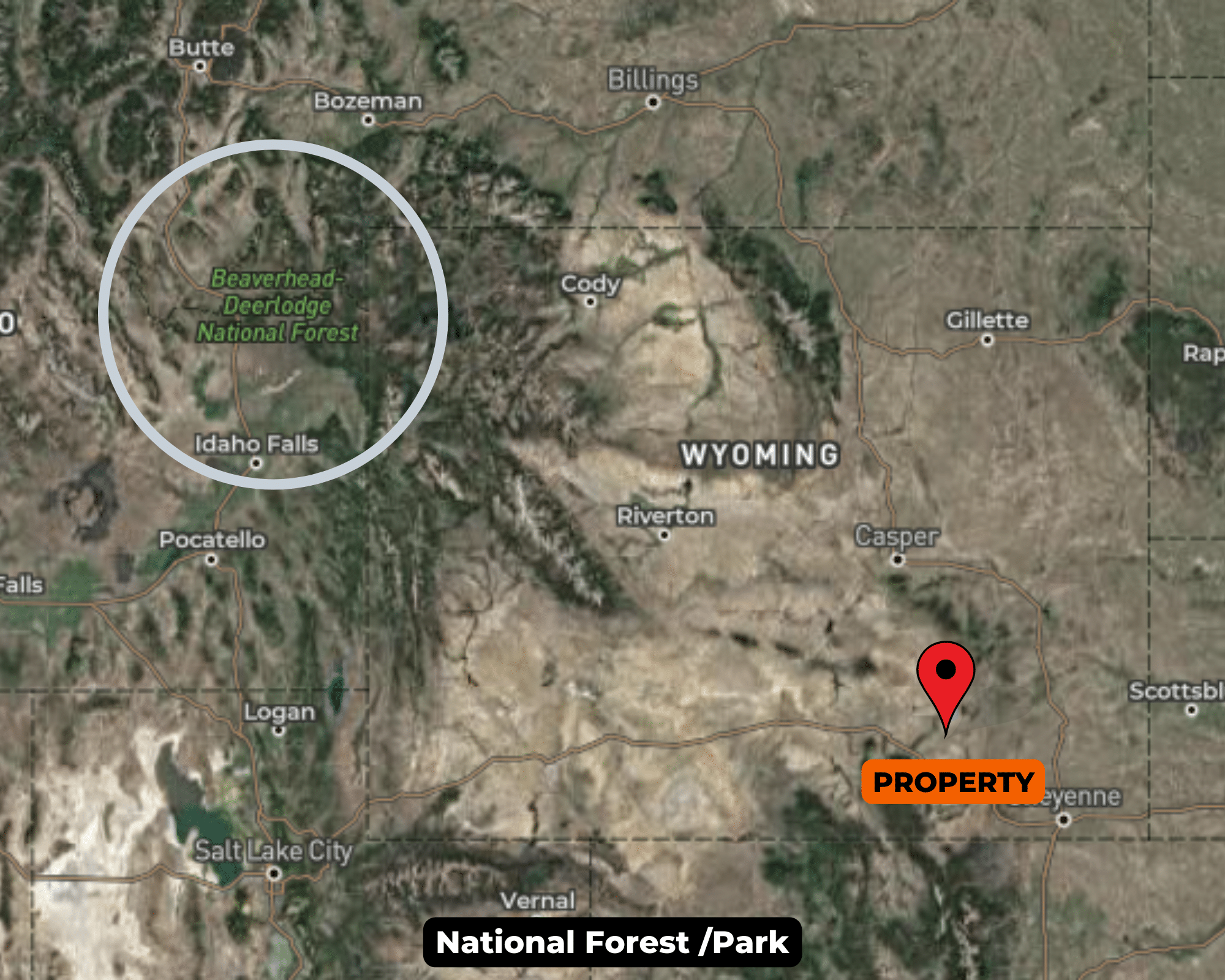
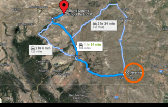
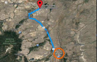
- 57 min (45.7 miles) to Laramie, WY: Population: 32,381 (about)
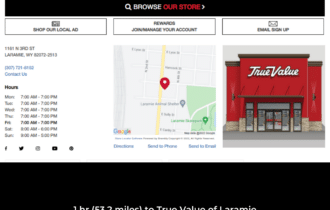
- 1 hr (53.2 miles) to True Value of Laramie (about)
- 1 hr 2 min (53.8 miles) to Shell (about)
- 1 hr 3 min (53.7 miles) to Safeway (about)
- 1 hr 3 min (54.2 miles) to University of Wyoming (about)
- 1 hr 9 min (55.7 miles) to Ivinson Memorial Hospital (about)
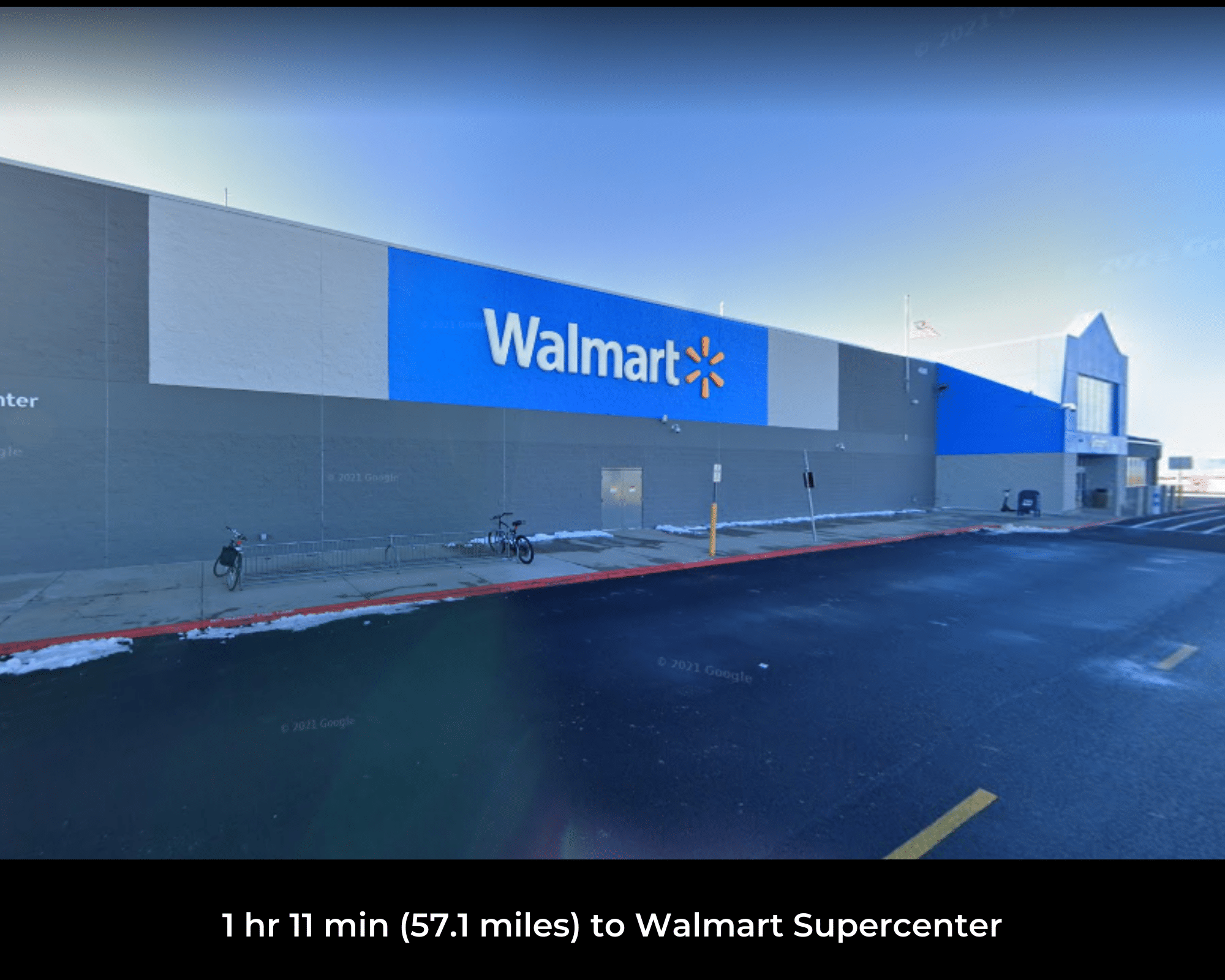
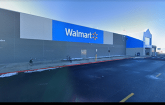
- 1 hr 11 min (57.1 miles) to Walmart Supercenter (about)
- 1 hr 53 min (104 miles) to Cheyenne, WY: Population: 63,607 (about)
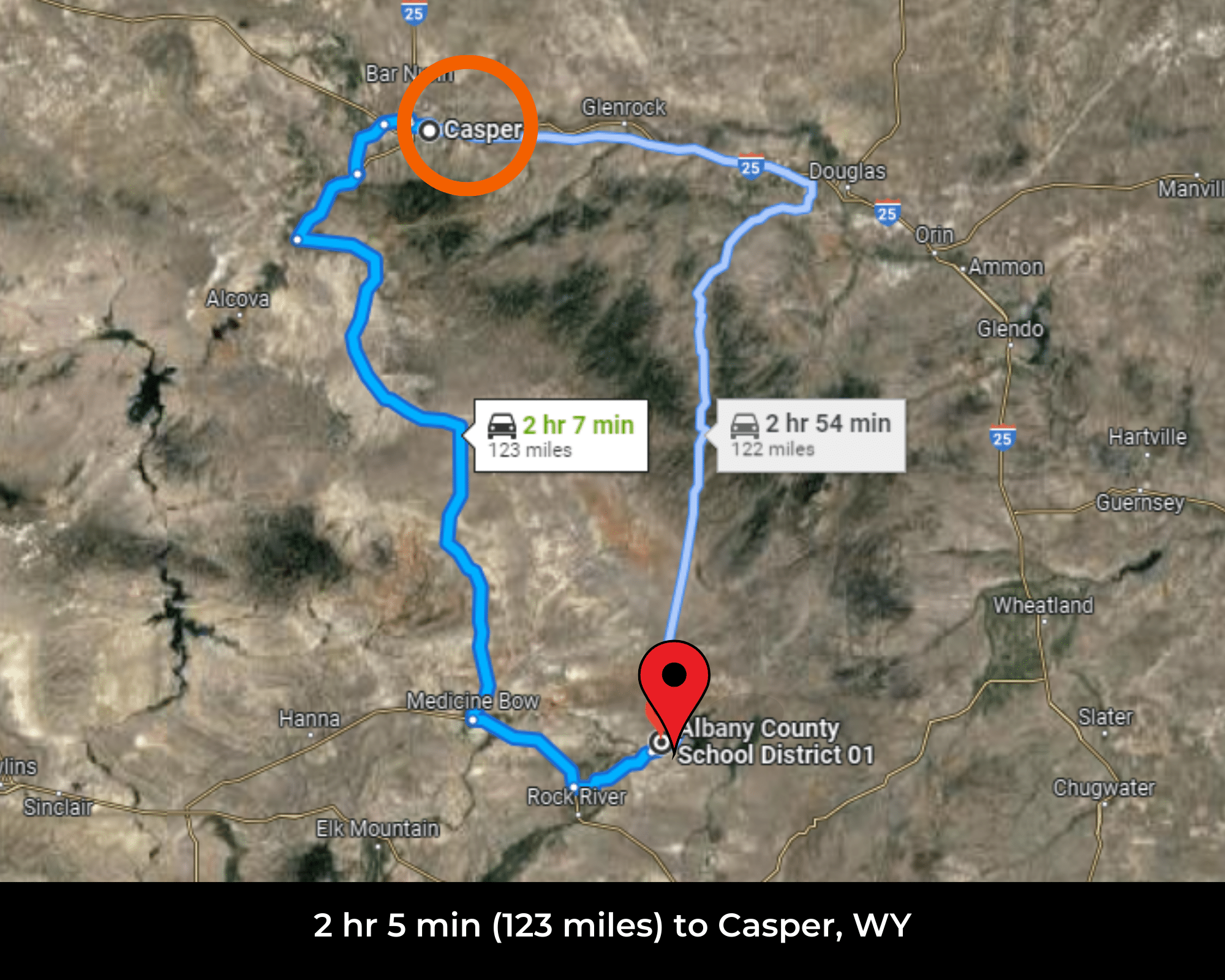
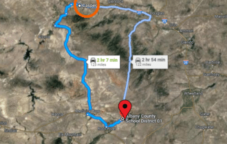
- 2 hr 5 min (123 miles) to Casper, WY: Population: 58,446 (about)
- 2 hr 8 min (119 miles) to Fort Collins, CO: Population: 165,609 (about)
- 2 hr 36 min (138 miles) to Pathfinder National Wildlife Refuge (about)
- 3 hr 17 min (183 miles) to Denver, CO: Population: 705,576 (about)
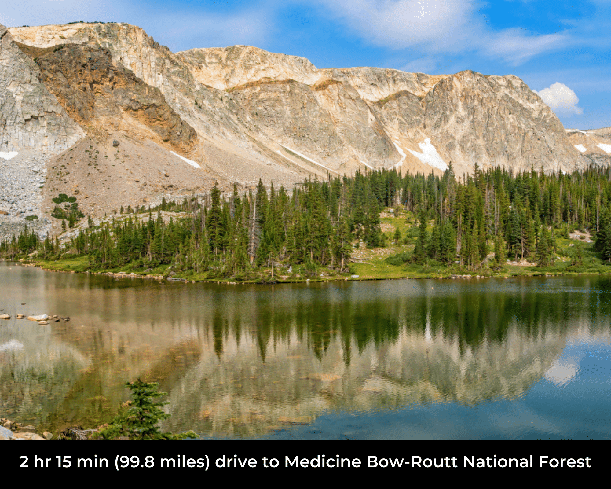
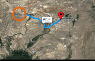
- 3 hr 22 min (153 miles) to Medicine Bow-Routt National Forest (about)
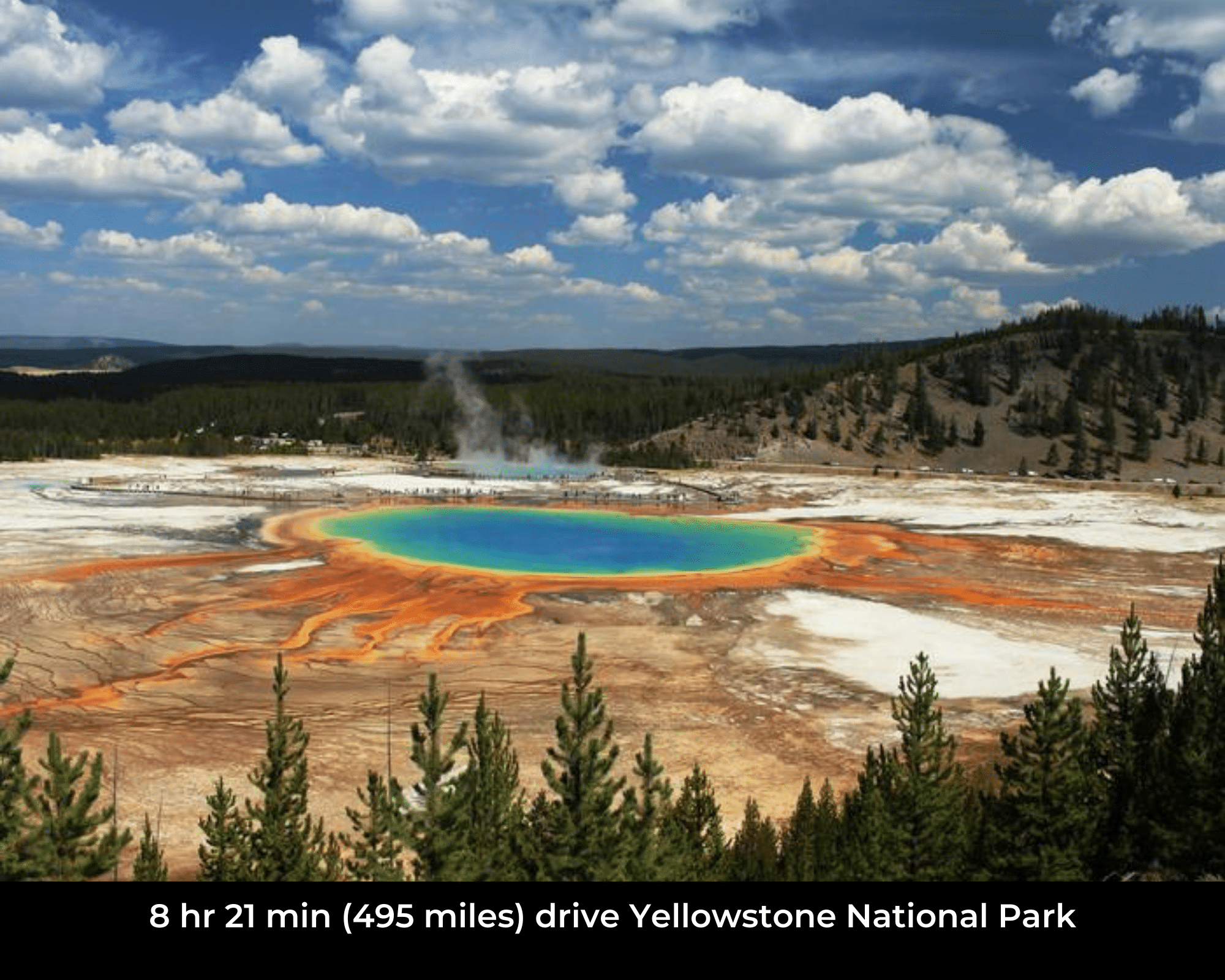
- 4 hr 49 min (297 miles) to Shoshone National Forest (about)
- 4 hr 55 min (322 miles) to Bridger Teton-National Forest (about)
- 5 hr 5 min (300 miles) to Blackhills Natinal Forest (about)
- 5 hr 34 min (329 miles) to Bighorn National Forest (about)
- 5 hr 47 min (375 miles) to Salt Lake, UT: Population: 197,756 (about)
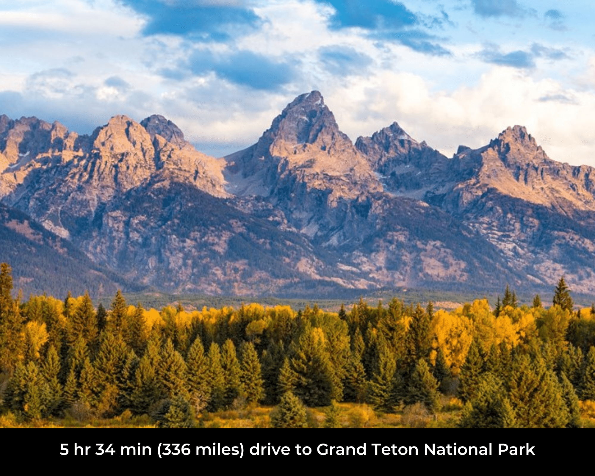
- 5 hr 51 min (369 miles) to Jackson, WY: Population: 10,553 (about)
County Contacts
Albany County Assessor: (307) 721-2511 https://www.co.albany.wy.us/158/Assessor
Albany County Treasurer: (307) 721-2502 https://www.co.albany.wy.us/267/Treasurer
Albany County Clerk: (307) 721-2541 https://www.co.albany.wy.us/157/Clerk
Albany County Zoning: (307) 721-2568 https://www.co.albany.wy.us/253/Planning
Albany County Health: (307) 721-2561https://www.publichealthlaramie.org
Albany County GIS: https://www.co.albany.wy.us/250/GIS
Closing Costs and Fees
$299
Document Prep Fee
Buyer will pay a $299 document preparation fee, which includes postage and county recording fees.
$0
In-House Closing Fee
There will be no additional fees for an in-house closing. We typically close in-house in 21 days or less.
$1,500+
Title Co Closing Fee
Title Company costs are typically 2-5% of the purchase price with a minimum fee of around $1,500.
If Buyer elects to close through a third-party title company, Buyer will bear all closing costs and expenses, including Seller’s title policy and Seller's escrow fees. Closing through a title company typically takes 30-45 days, depending on the county and title company.
Driving Directions and GPS Coordinates
🚗 Driving Directions: From Rock River, WY to the Property: ↑ Head south toward Fetterman Rd → Turn right at the 1st cross street onto Fetterman Rd ↑ Continue onto Fetterman Rd ← Turn left onto US-287 S/US-30 ← Turn left onto Ave A
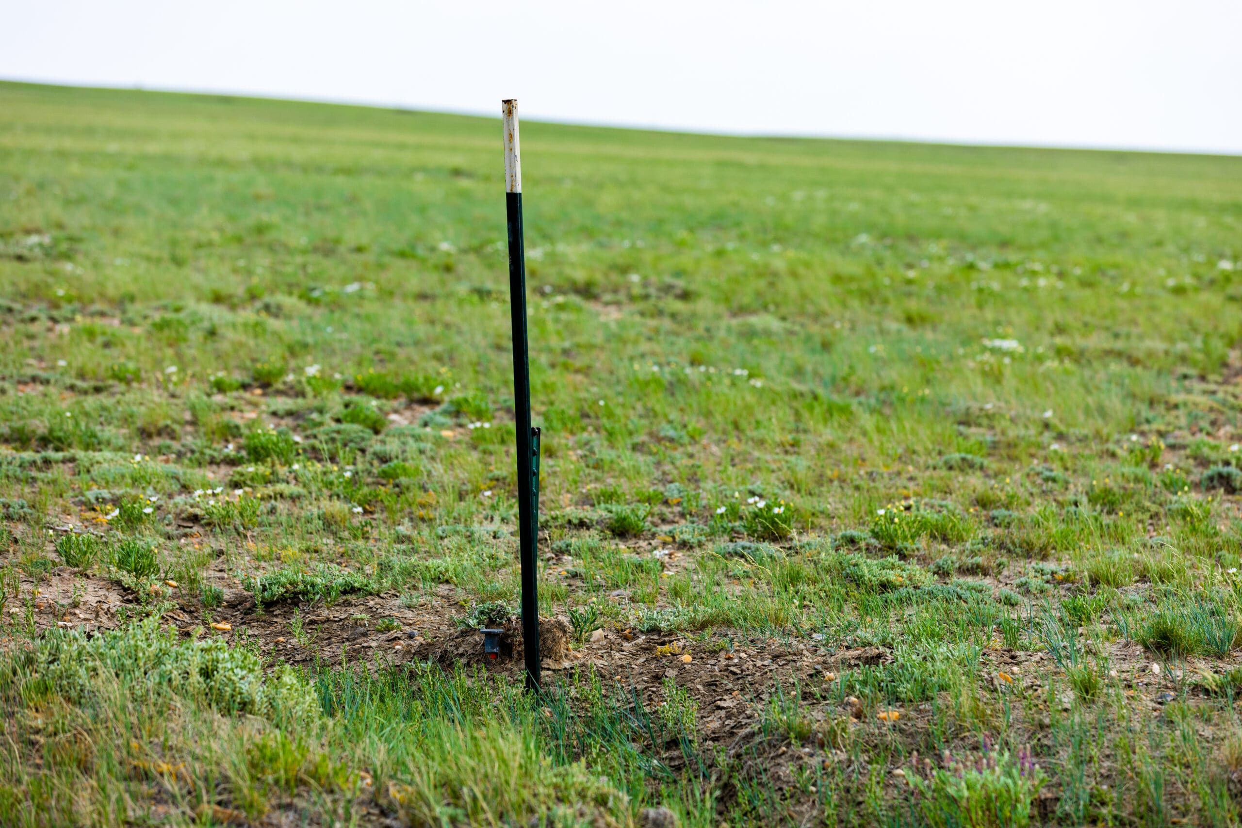
📍 Northwest Corner: 41.864212, -105.794696 (Google Map)
📍 Northeast Corner: 41.864203, -105.790199 (Google Map)
📍 Southeast Corner: 41.857299, -105.790198 (Google Map)
📍 Southwest Corner: 41.857301, -105.794700 (Google Map)
📍 Center Point: 41.860791, -105.792374 (See embedded Google Map below 👇.)
Google Map
If you click the blue Directions link below, 👇 you can get Google turn-by-turn directions to the property on any device. The map coordinates for the Google Map below are for the center of the property and not the entrance, gate, or primary access point for the property. Google Maps may provide driving directions that require the use of private or abandoned roads or may require you to go through gates. Please do not trespass on private property. Some properties will require a 4-wheel drive vehicle or may be inaccessible in certain weather conditions. Please don't get stuck or lost.
Additional Notes
As-Is and As-Available: This property is being sold property “as-is” and “as-available.” No representations as to fitness for a particular purpose have been made. No verbal claims or promises have been made. Please see our Terms of Service for more information.
Contract: After making your initial deposit, we will email you the purchase and sale agreement, which includes a special warranty deed. Contracts are manually prepared and will be sent out Monday through Friday between 9 AM and 5 PM CST.
No Monthly Payments: We are not offering seller financing on this property. This is an all-cash transaction. We are not offering a payment plan. If you would like to finance your purchase of the property, please contact a third-party lender prior to making your deposit. We will not sign a purchase and sale agreement that is contingent upon third-party financing without a pre-approval letter.
4% Buyer's Agent Commission: You are not required to have an agent or broker assist you with purchasing this property. However, if the Buyer does use an agent, and the Seller is made aware of this prior to an agreement on price or signed contract, the Seller will pay a 4% commission to the Buyer's licensed agent or broker.
Maps and GPS Coordinates: Maps and GPS coordinates are believed to be accurate, but accuracy is not guaranteed. The information contained in the maps should not be considered a “legal description,” and the maps and GPS coordinates are not a replacement for a survey. Unless noted above we do not have a survey for this property. We have taken reasonable steps to ensure that parcel lines, maps, and coordinates are in fact accurate, but third-party geographical information system (GIS) providers, including information from the county, often contain errors and inaccuracies, and we do not want to make incorrect assumptions.
🕵️ Still looking for land in Texas?
⭐ Please take a look at our other remarkable properties 👉 HERE!