


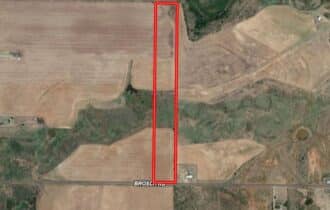

SOLD: Your Private Country Haven is on These 19.5 Acres
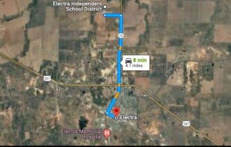
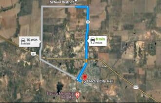
8 min (3.8 miles) from Electra, TX
APN# 101541
Payment
Payment Notes:
Warranty of Title: The property will be conveyed via a general warranty deed, guaranteeing you free and clear title to the property.
🛑 CASH ONLY! No payment options are available for this property.
Paying a 3% Buyer's Agent Commission!
Property Description
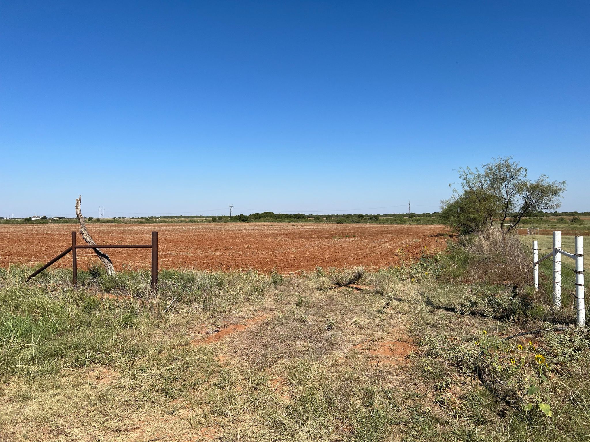
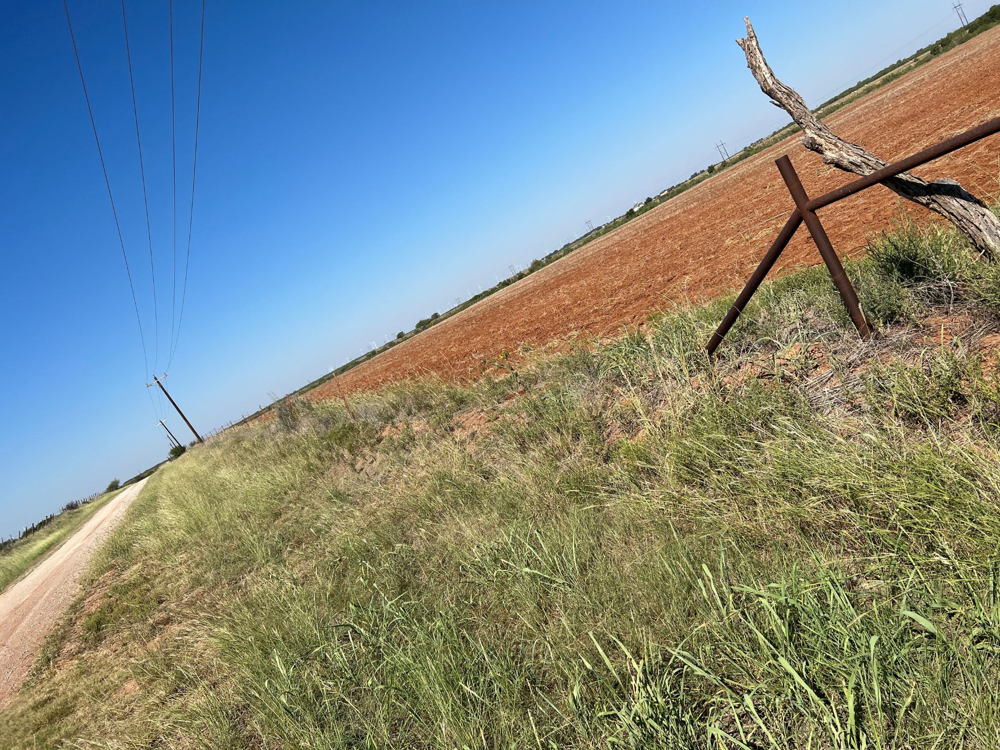
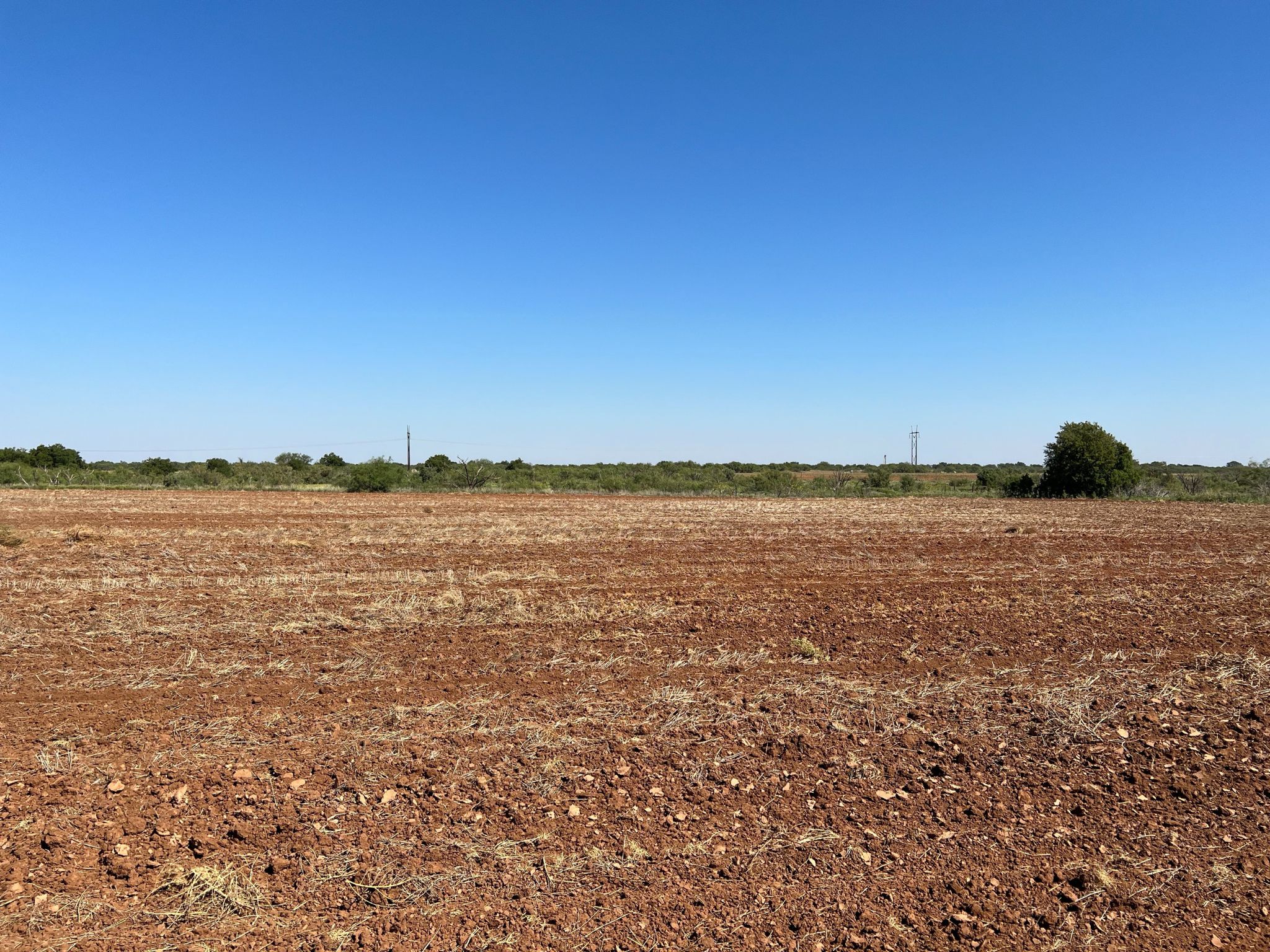
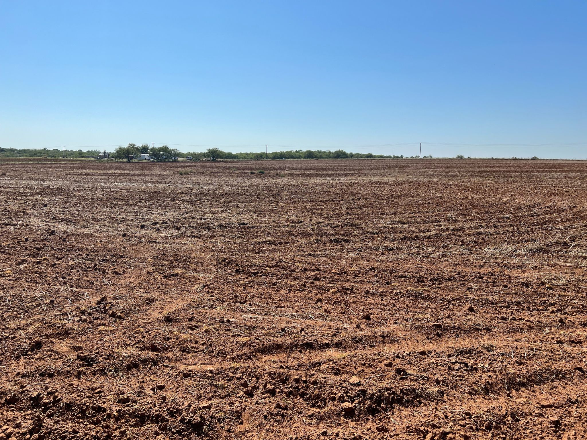
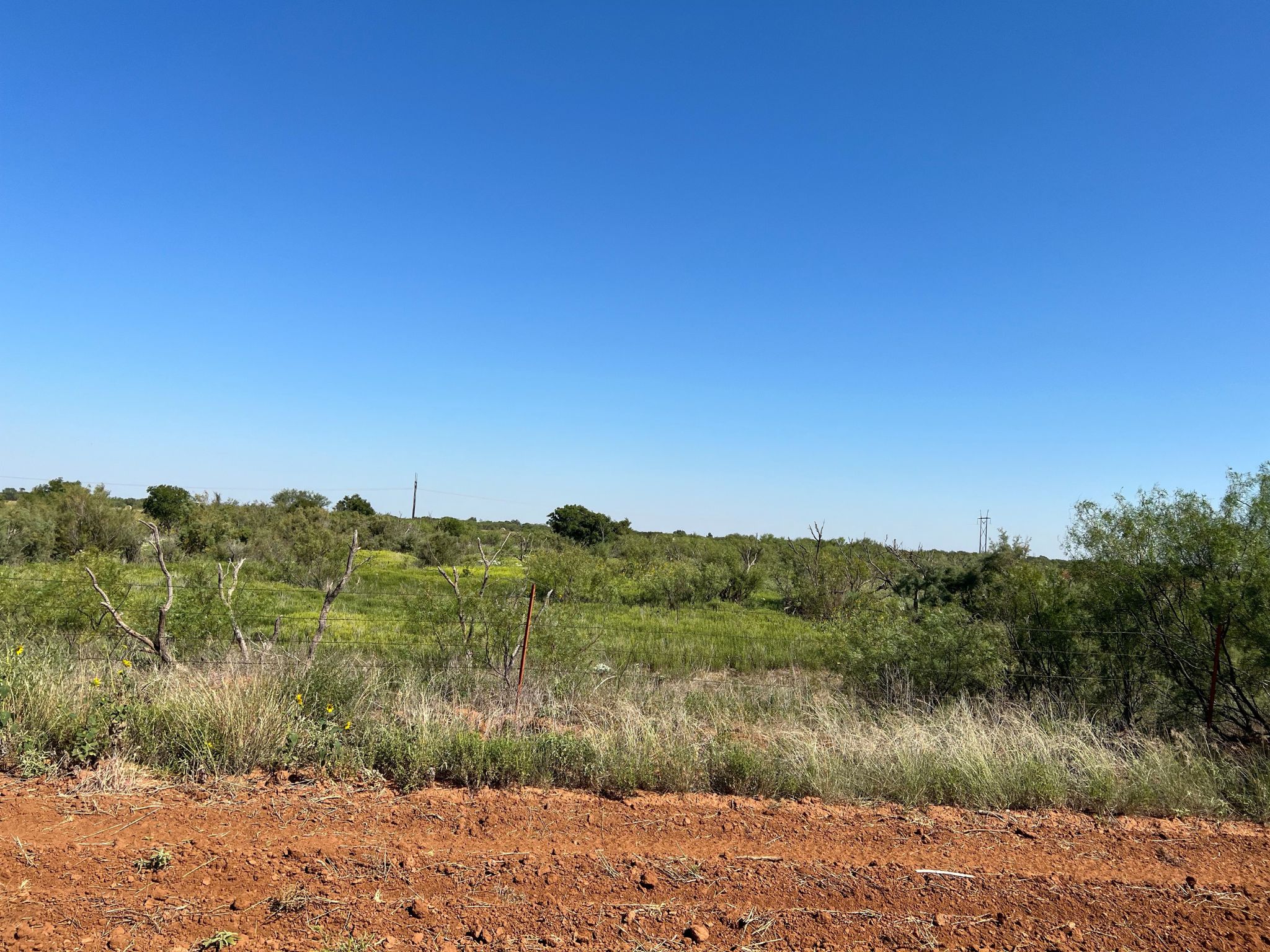
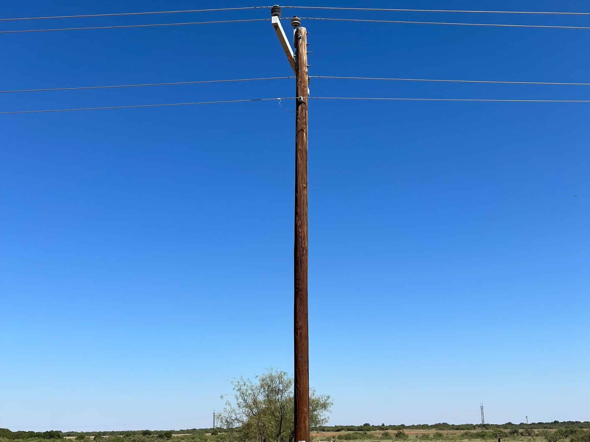
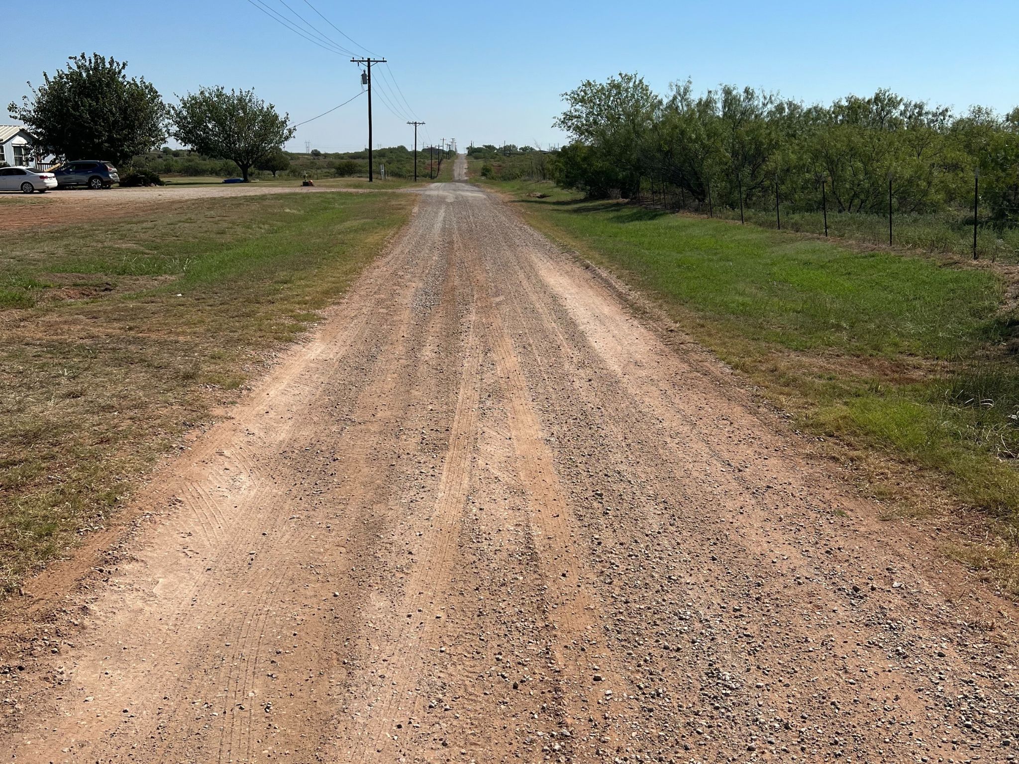
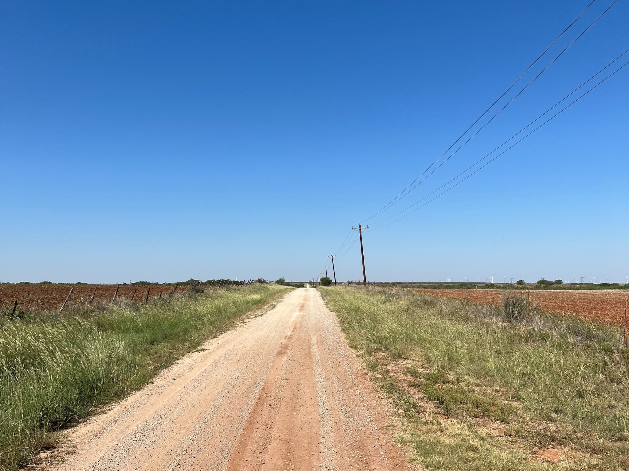
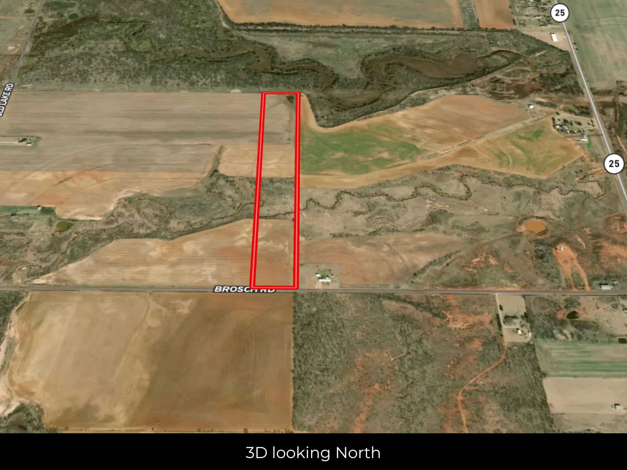
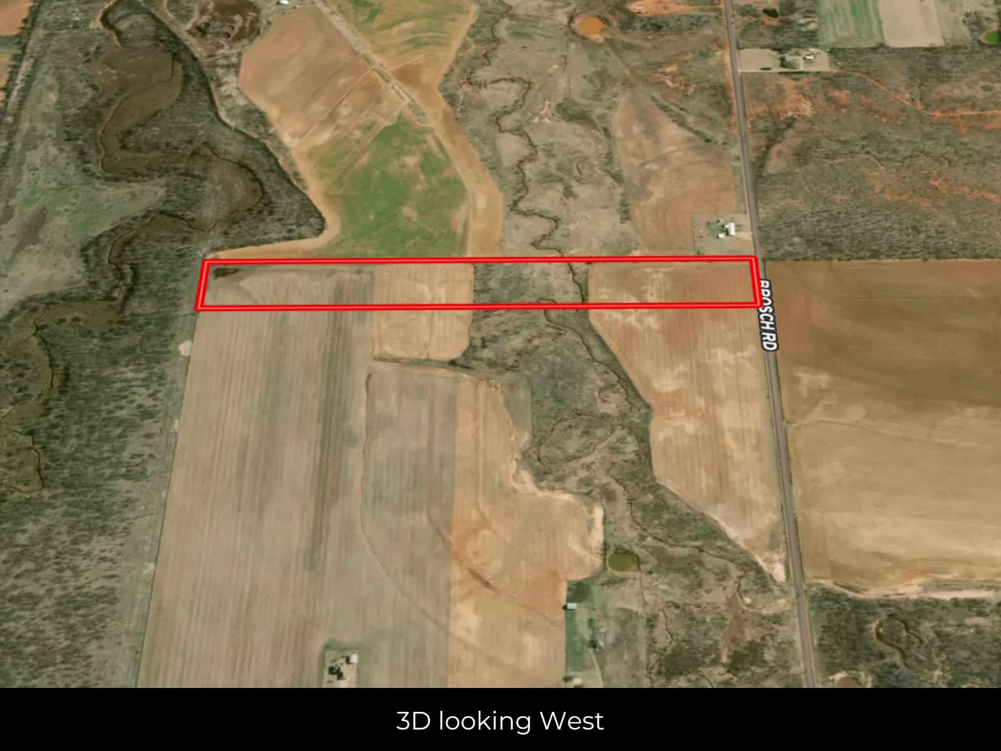
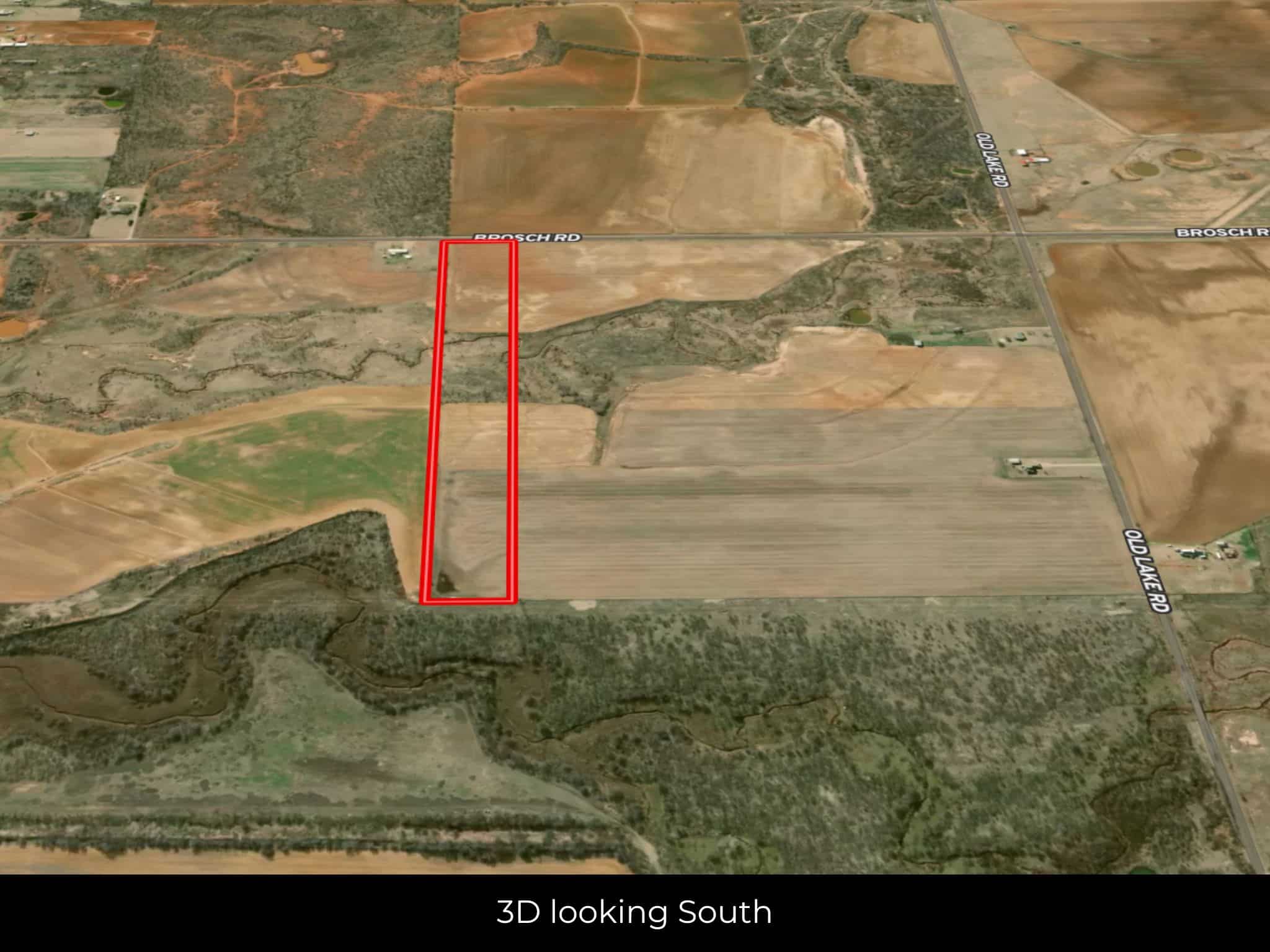
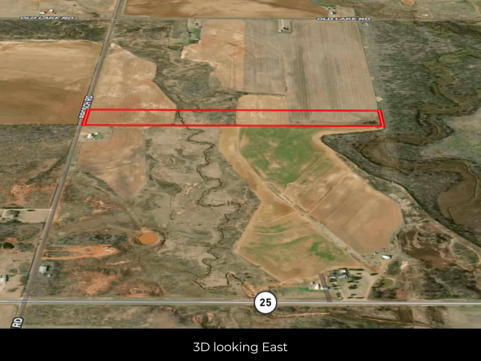
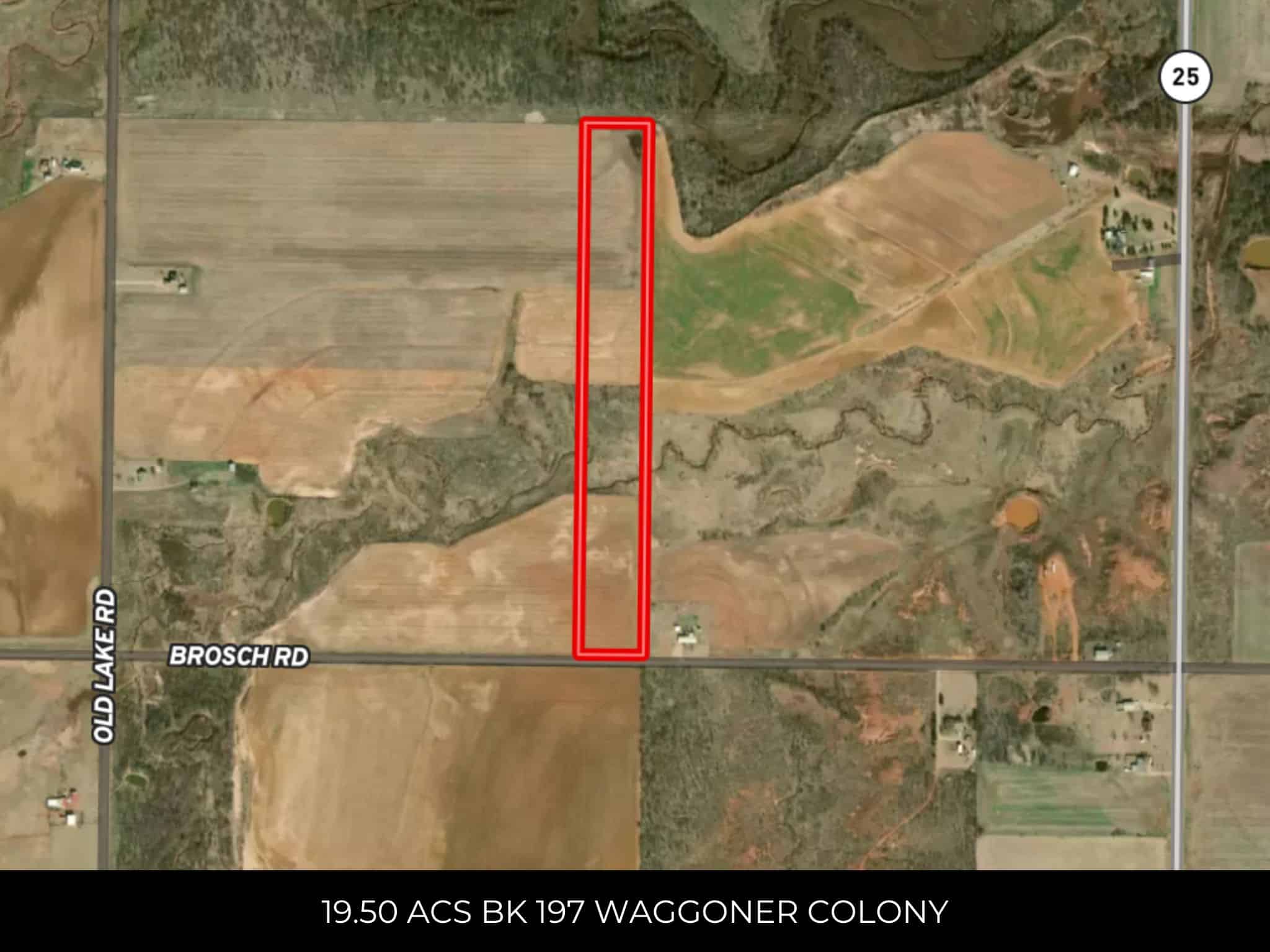
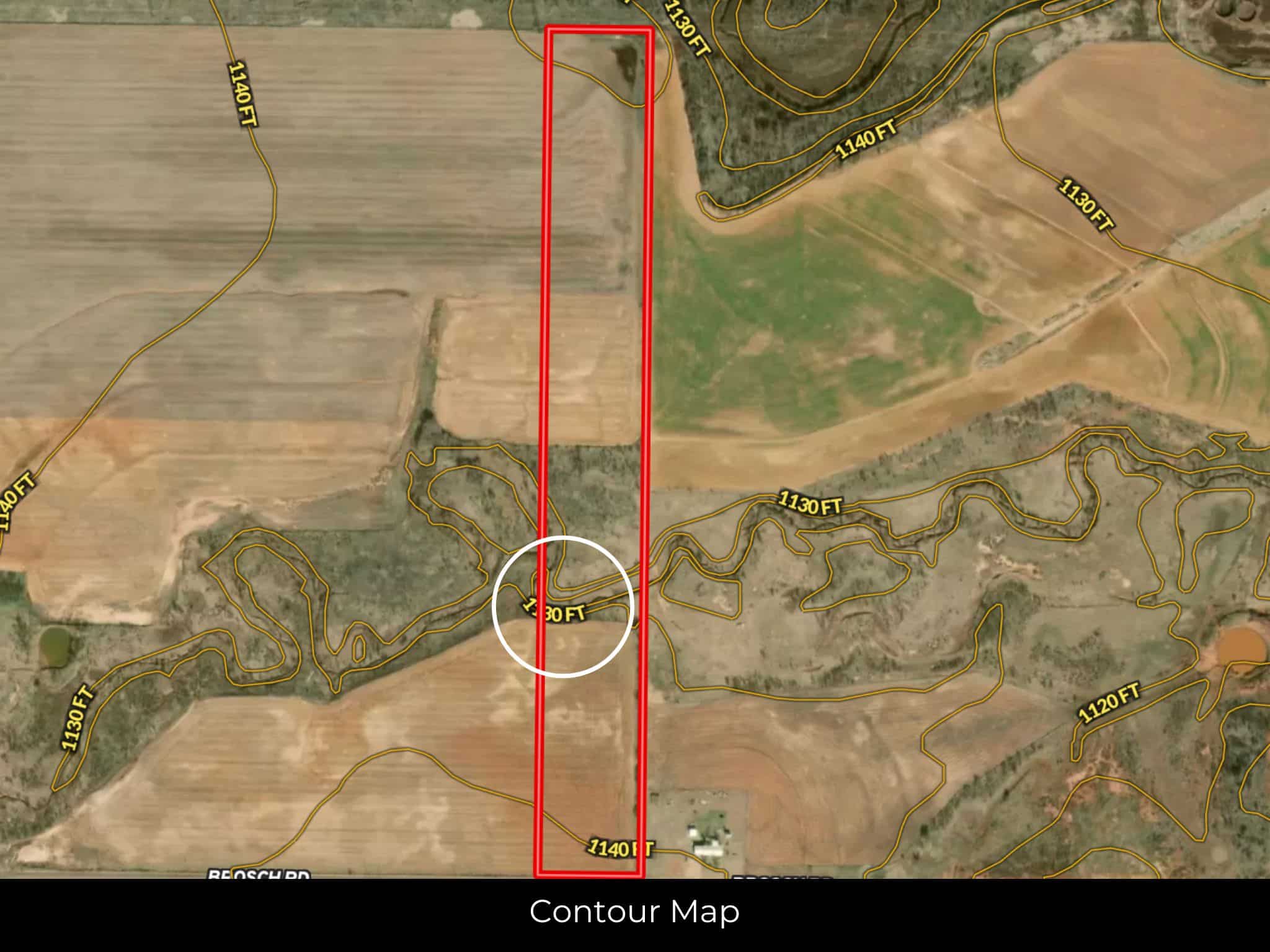
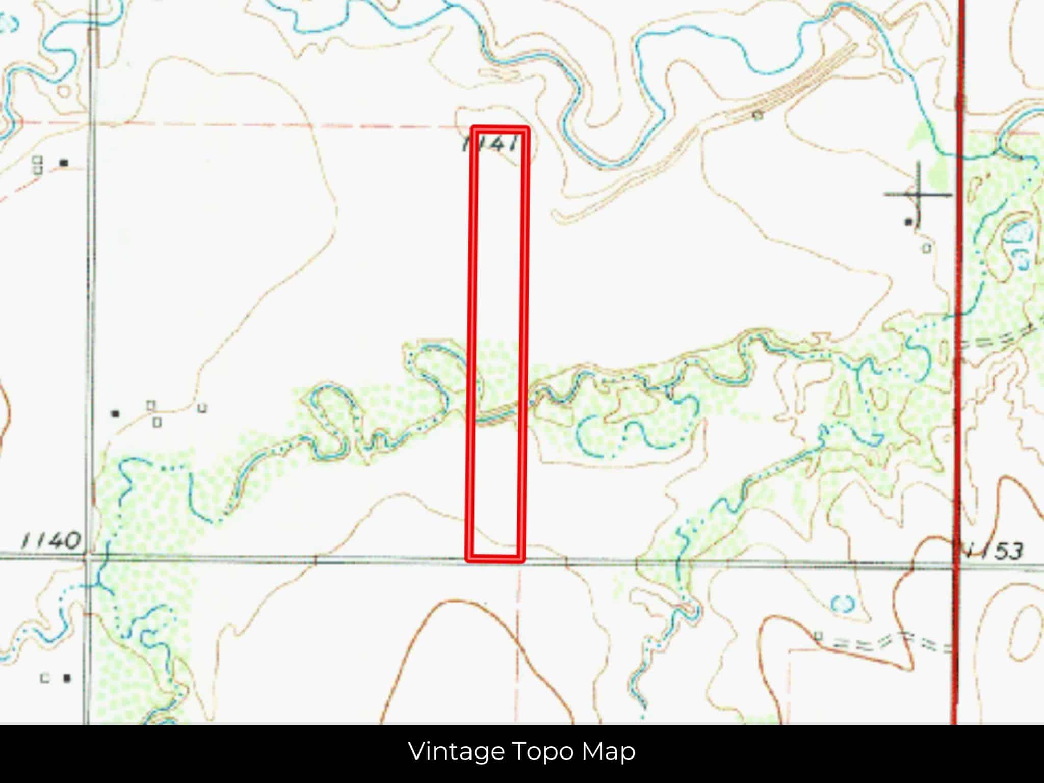
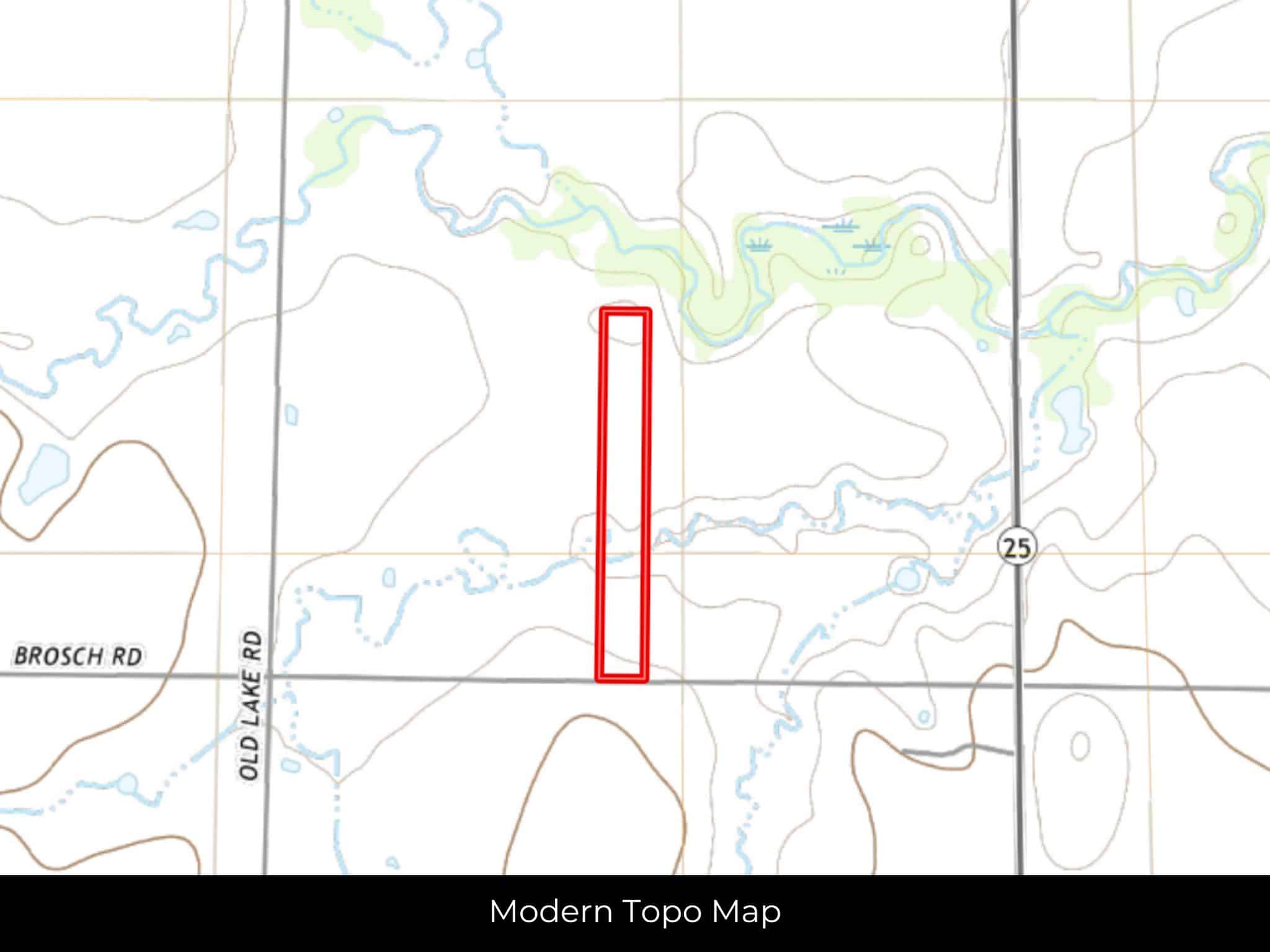
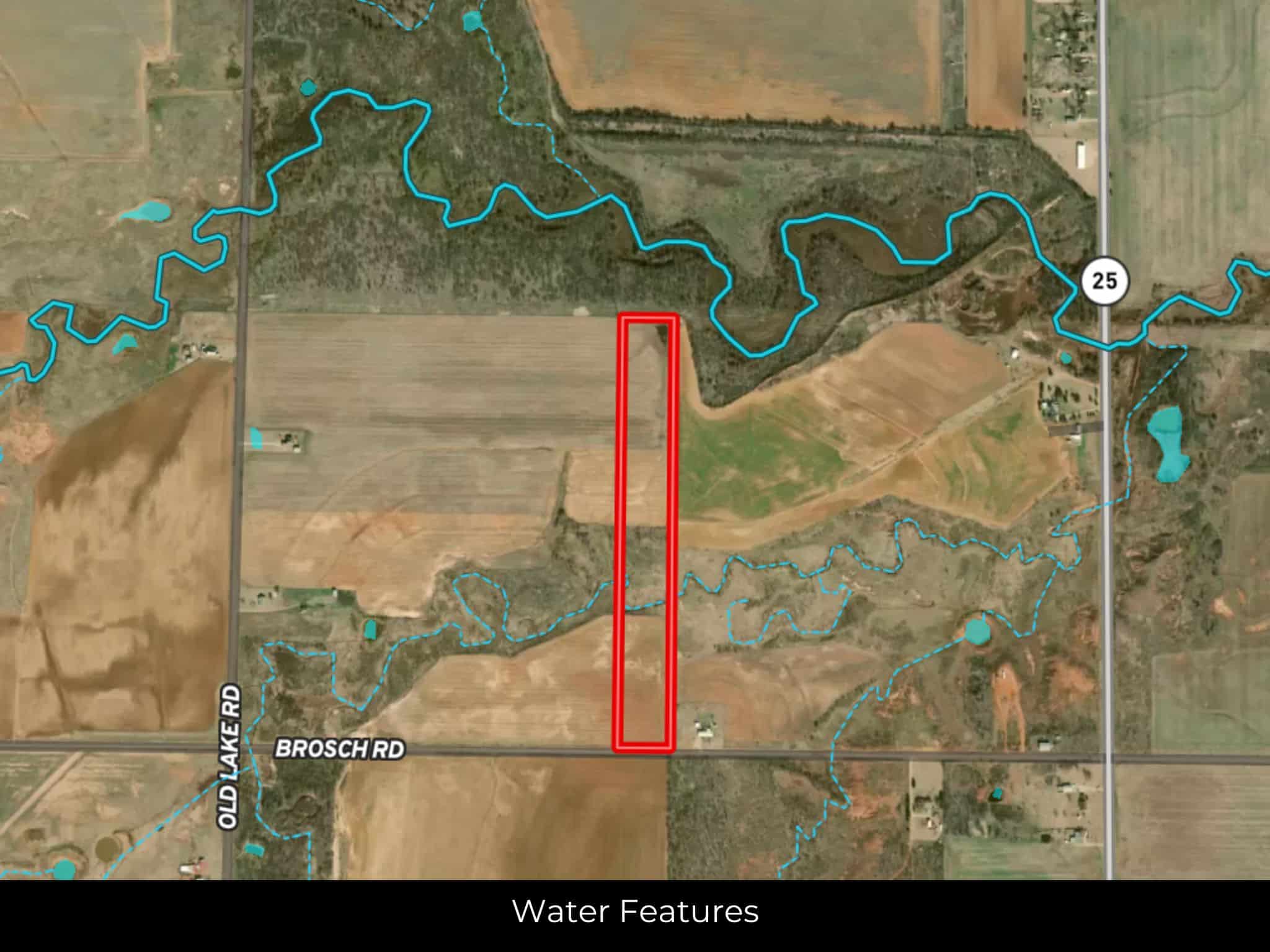
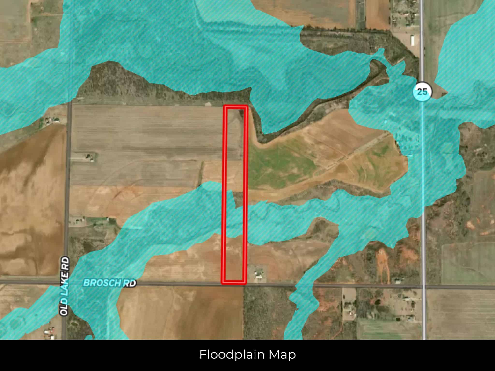
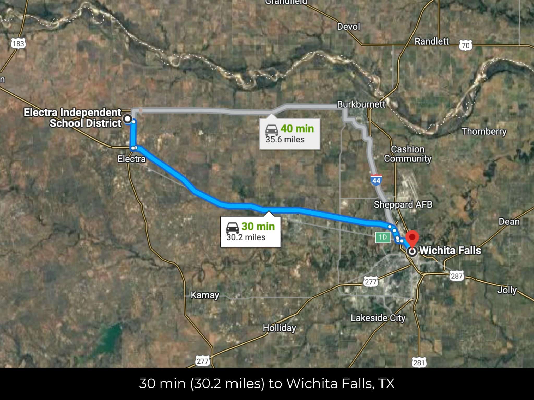
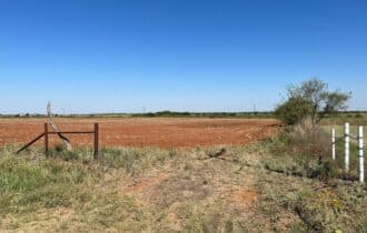
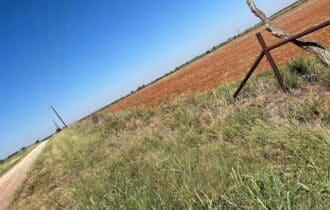
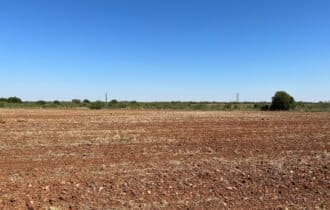
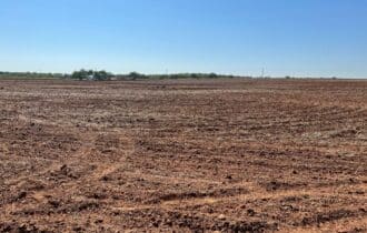
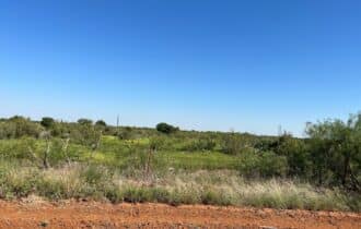
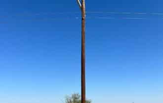
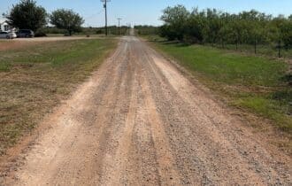
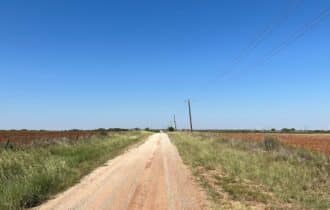
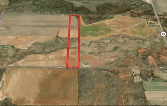
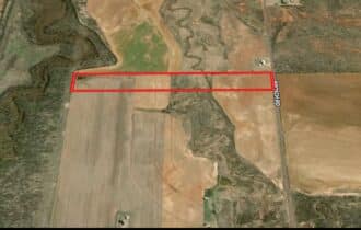
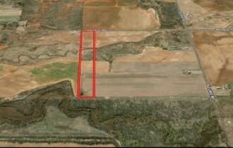
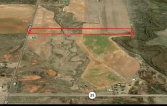
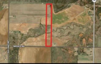
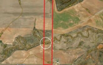
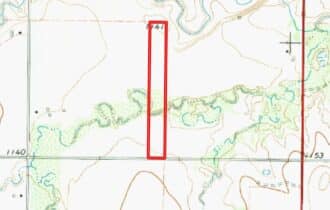
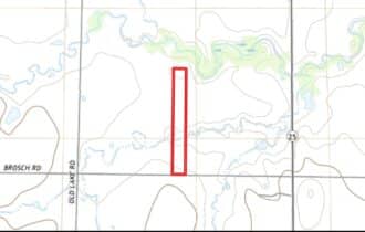
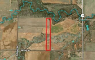
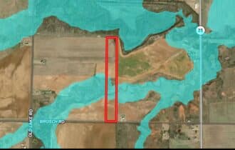
Endless possibilities are waiting for you on this 19.5-acre lot just north of the small town of Electra and an easy 30-minute drive from Wichita Falls. This property is mostly cleared for farming so you can landscape it almost any way you can imagine. A small creek runs across the center of the lot and approximately 3.5 acres are in a flood zone, but the rest of the property is high and dry. Access is easy from a dirt road (Brosch Road) and power runs along the southern boundary. Mobile, manufactured, and site-built homes are all allowed, and this property has plenty of space for livestock, or just sit on your new back porch and just enjoy the wide-open prairie views.
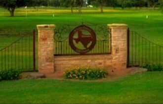
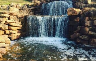
Goldilocks would approve of Wichita Falls – this medium city is not too big and not too small. With 105,000 residents, it maintains small-town friendliness along with all the supplies and services you need. Summers here are hot and humid with temperatures over 100 degrees Fahrenheit on an average of 28 days each year, but winters are very mild with little to no snowfall, making this an attractive destination for snowbirds and active families who want to enjoy the outdoors almost year-round. Stroll by the waterfalls and duck ponds at Lucy Park or visit the iconic Newby-McMahon Building, also called the World’s Littlest Skyscraper, built by a con man in 1919. Castaway Cove Waterpark is a great place to beat the heat on a hot summer afternoon, and in the winter, you can watch the Wichita Falls Wildcats play hockey.
This 19.5-acre lot is the perfect distance from town for country living without a long commute, and at this competitive price it will not last long. Contact me today for more information.
You are welcome to visit the property at your convenience and anytime while it's still available. However, we HIGHLY recommend checking-in with us prior to visiting the property in case the property has gone under contract or already sold.
The interactive map above is generated with MapRight. MapRight has free apps for Apple IOS and Android that can be used to track your location and route throughout a property and provide driving directions.
MapRight for Apple –> Download App.
MapRight for Android –> Download App.
To launch the interactive map on your device, 1) install the free MapRight app using one of the two links above for Apple or Android, and 2) click the “View Full Screen” link (see above) in the embedded map on the property listing page.
Property Information
Parcel Size
19.5 Acres
State
Texas
County
Wichita
Nearest Cities
Electra, TX
Parcel #
101541
Address
0 Brosch RD, Electra, TX, 76360
Legal Description
19.50 ACS BK 197 WAGGONER COLONY
Zip Code
76360
Annual Property Taxes
$79.00
Ag Exemption
Yes
HOA
None
HOA per Year
None
Survey Available
Yes
School District
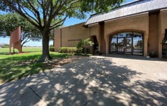
Electra Independent School District
Liens and Back Taxes
None!
Source Deed
Sent for Filing.
Title Status
Free & Clear!
Outgoing Conveyance
Warranty Deed
Property Features
Acres
19.5
Dimension
319.84 feet X 2625.86 feet
County
Wichita County
Subdivision
Exists
Access
Yes
Power
Yes
Water
Yes
Coordinates
34.0811, -98.9254
Zoning
Agricultural
Elevation
1130 ft
Terrain
Flat
Floodplain
Partial
Duplexes
Yes
Mobiles
Yes
Tiny Homes
Yes
Barndominiums
Yes
RV's
Yes
Camping
Yes
Property Survey, HOA, & Additional Documents
Utilities
🔌 Power: Southwest Rural Electric Association
💧 Water: City of Electra
🚽 Sewer: Wichita Falls Water
☎️ Phone: cellular, VOIP (see internet below), and satellite phone through Iridium, Globalstar, or Inmarsat.
🌐 Internet: satellite internet through Starlink, HughesNet, or ViaSat.
📺 Cable: satellite cable through Dish or DirectTV.
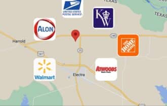
Nearby Cities, Conveniences, and Attractions
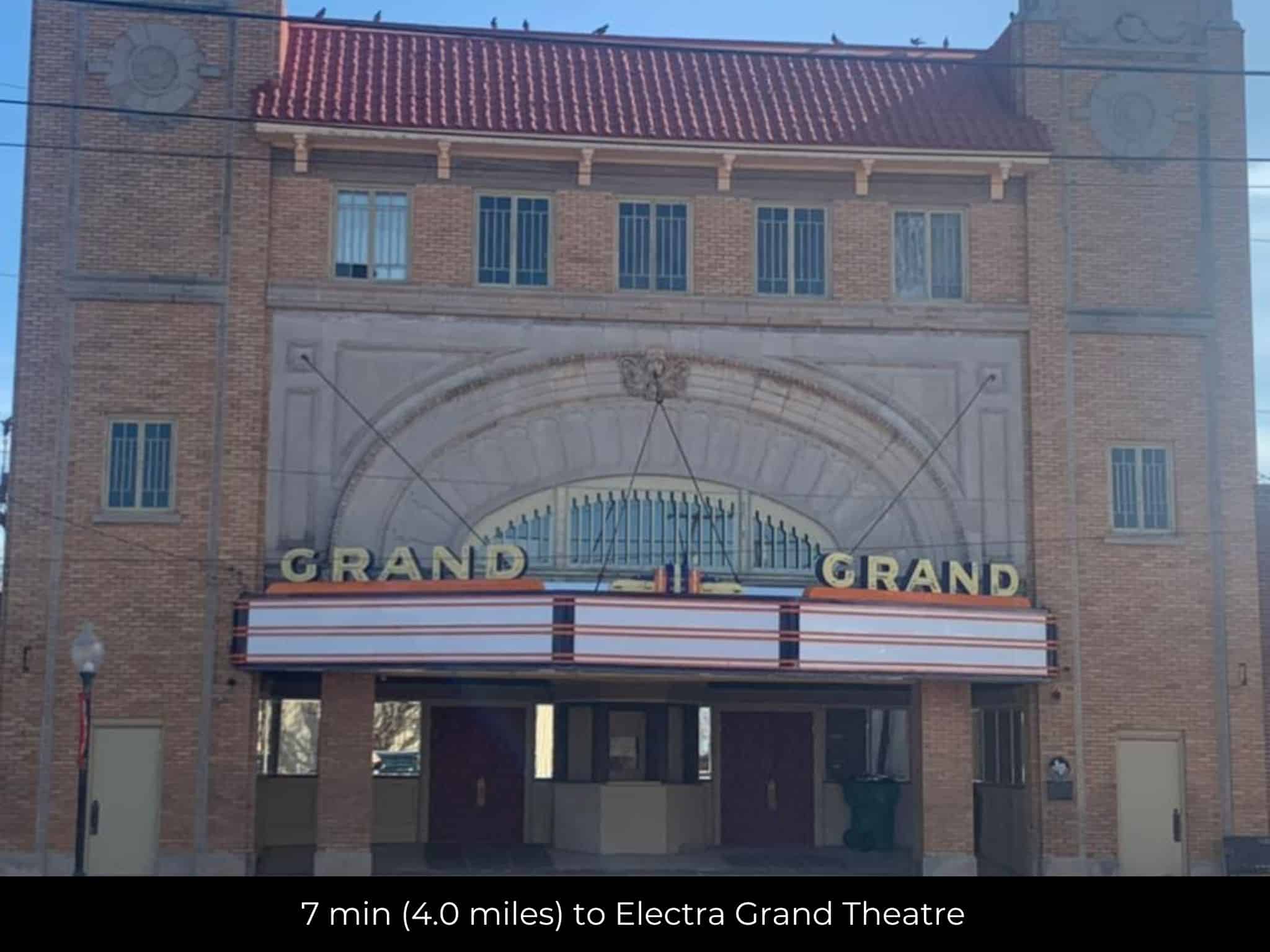
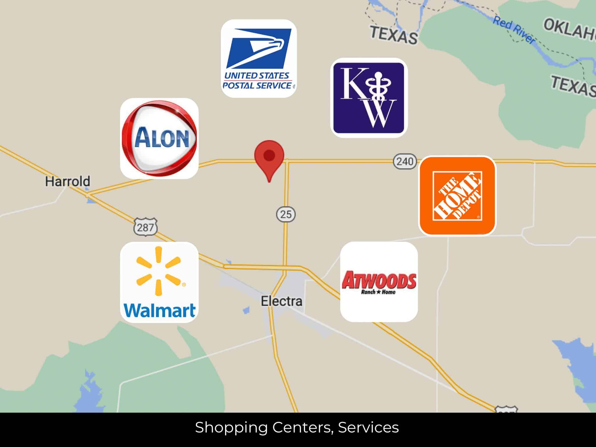
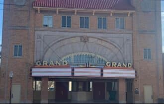
7 min (4.0 miles) to Electra Grand Theatre (about)
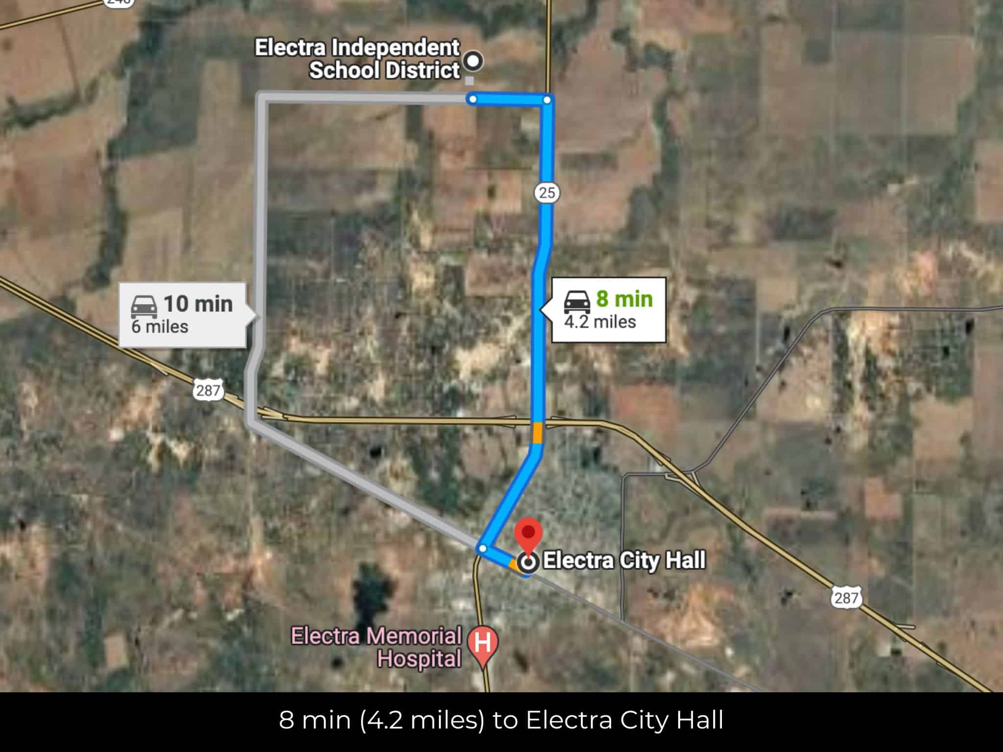
7 min (4.2 miles) to Electra City Hall (about)
8 min (4.0 miles) to United States Postal Service, Electra, TX (about)
10 min (8.6 miles) to Alon, Harold, TX (about)
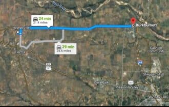
24 min (21.4 miles) to Burkburnett, TX (about)
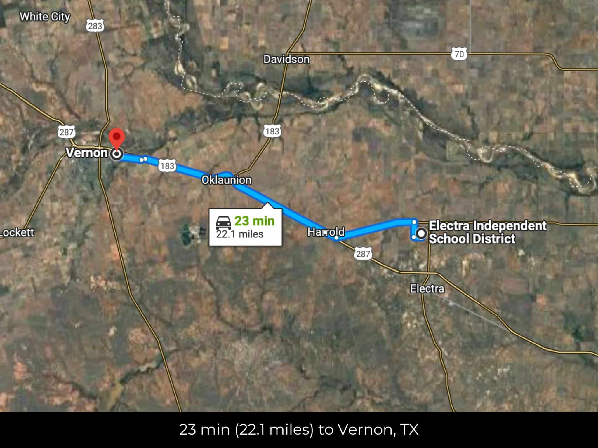
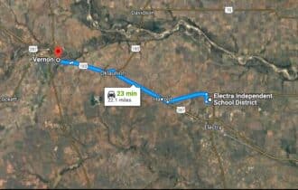
24 min (22.1 miles) to Vernon, TX (about)
25 min (26.9 miles) to Atwoods Farm & Ranch, Wichita Falls, TX (about)
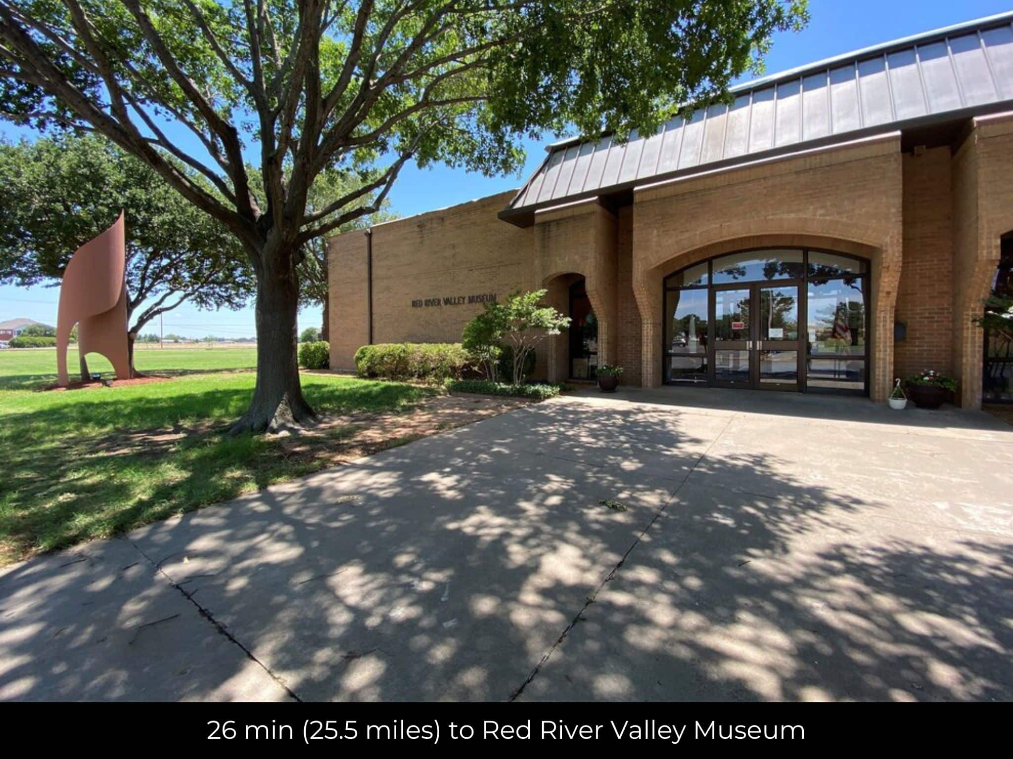
26 min (25.5 miles) to Red River Valley Museum (about)
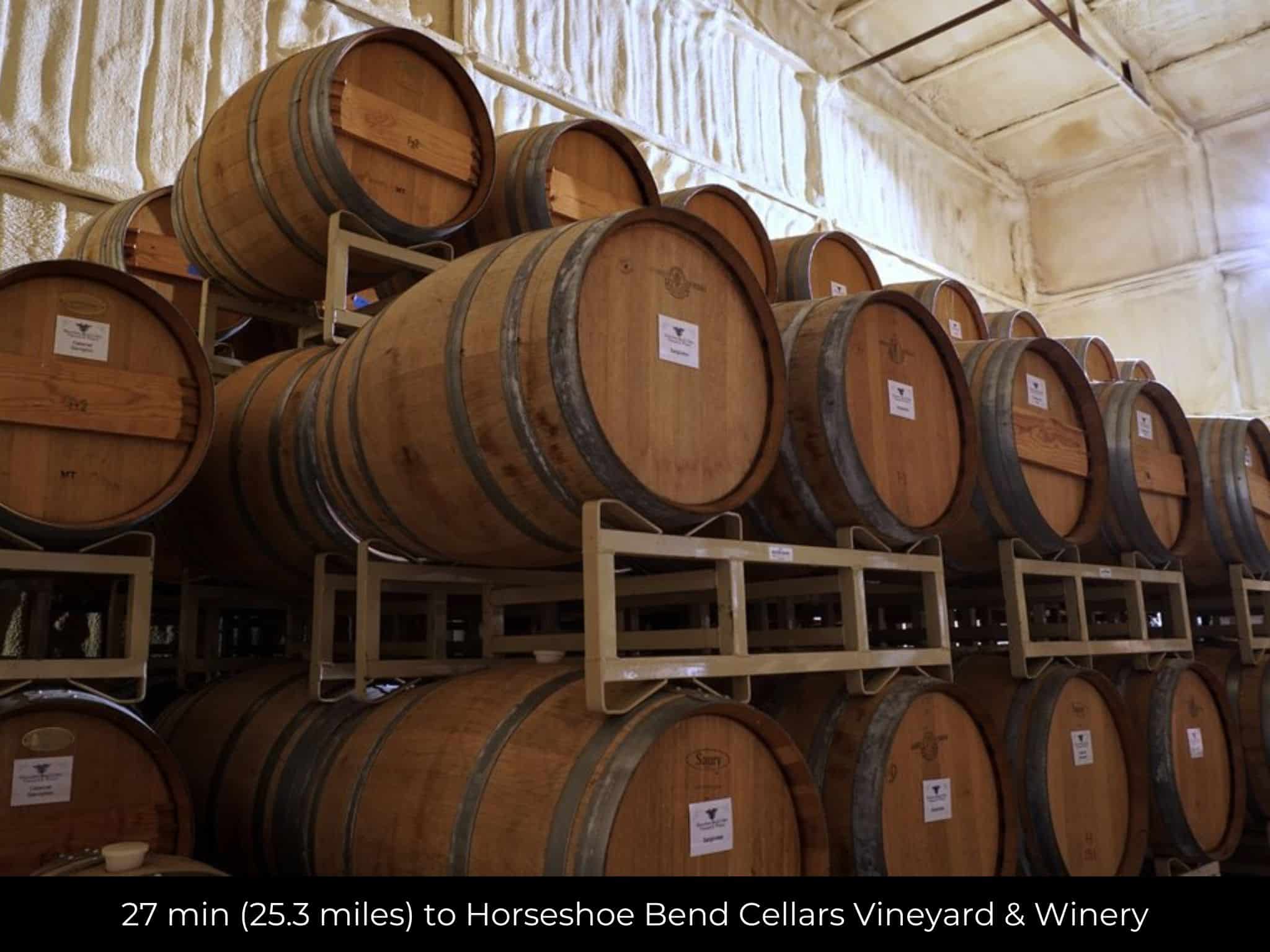
27 min (25.3 miles) to Horseshoe Bend Cellars Vineyard & Winery (about)
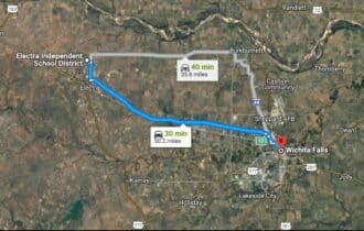
27 min (27.4 miles) to Walmart, Wichita Falls, TX (about)
28 min (30.4 miles) to Wichita Falls City Hall (about)
29 min (29.7 miles) to Bluebonnet Grocery, Wichita Falls, TX (about)
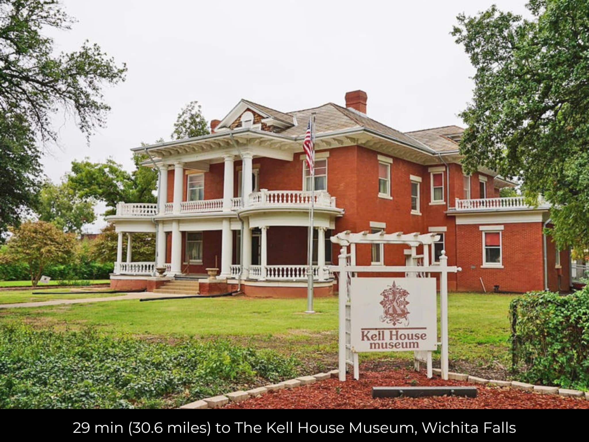
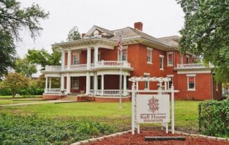
29 min (30.6 miles) to The Kell House Museum, Wichita Falls (about)
31 min (29.8 miles) to Kell West Regional Hospital (about)
32 min (33.2 miles)to Midwestern State University (about)
33 min (34.0 miles) to The Home Depot, Wichita Falls, TX (about)
34 min (29.3 miles) to River Creek Park Golf Course (about)
34 min (36.2 miles) to Coyote Ranch Resort (about)
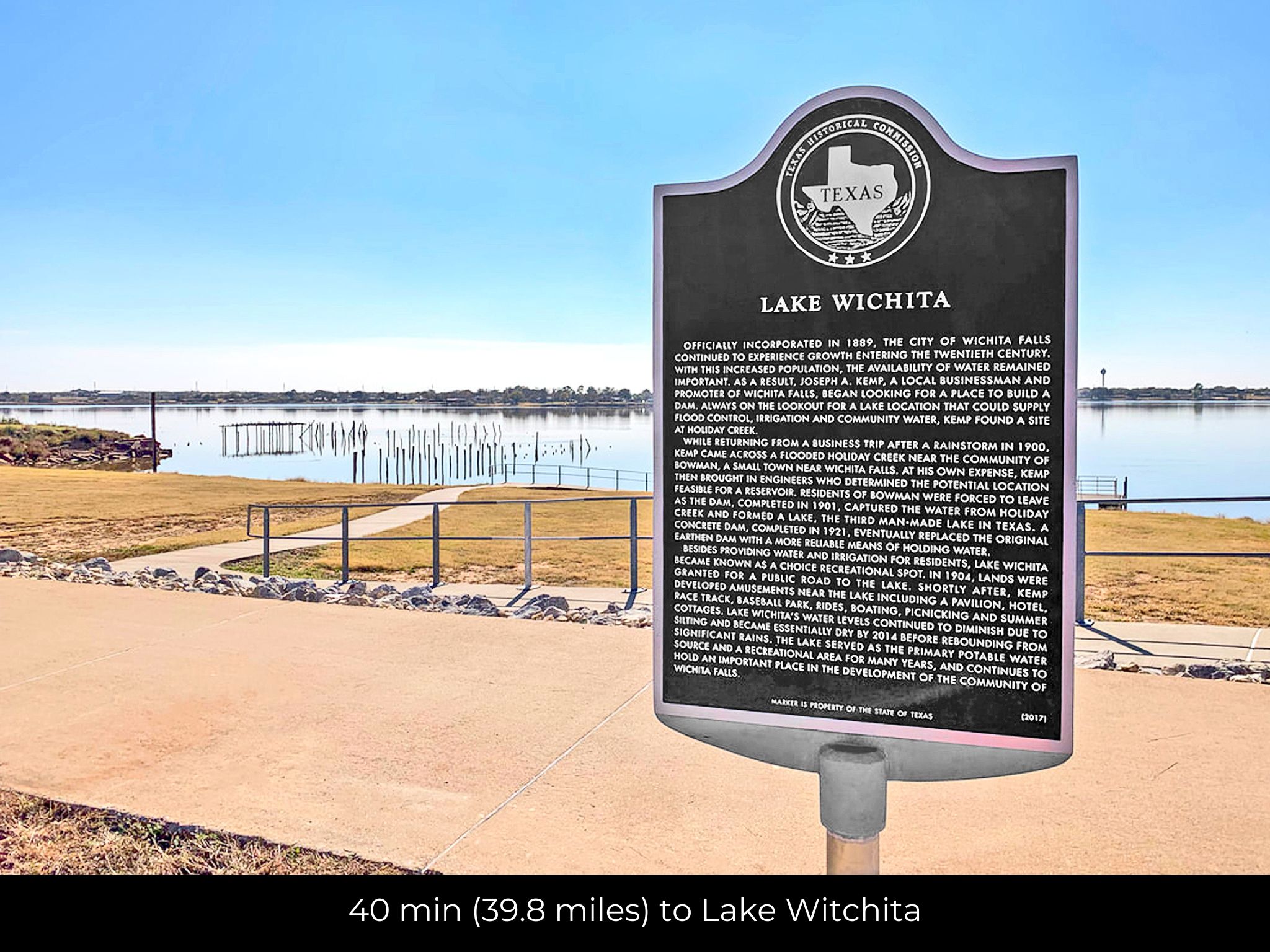
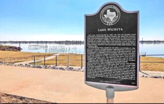
40 min (39.8 miles) to Lake Wichita (about)
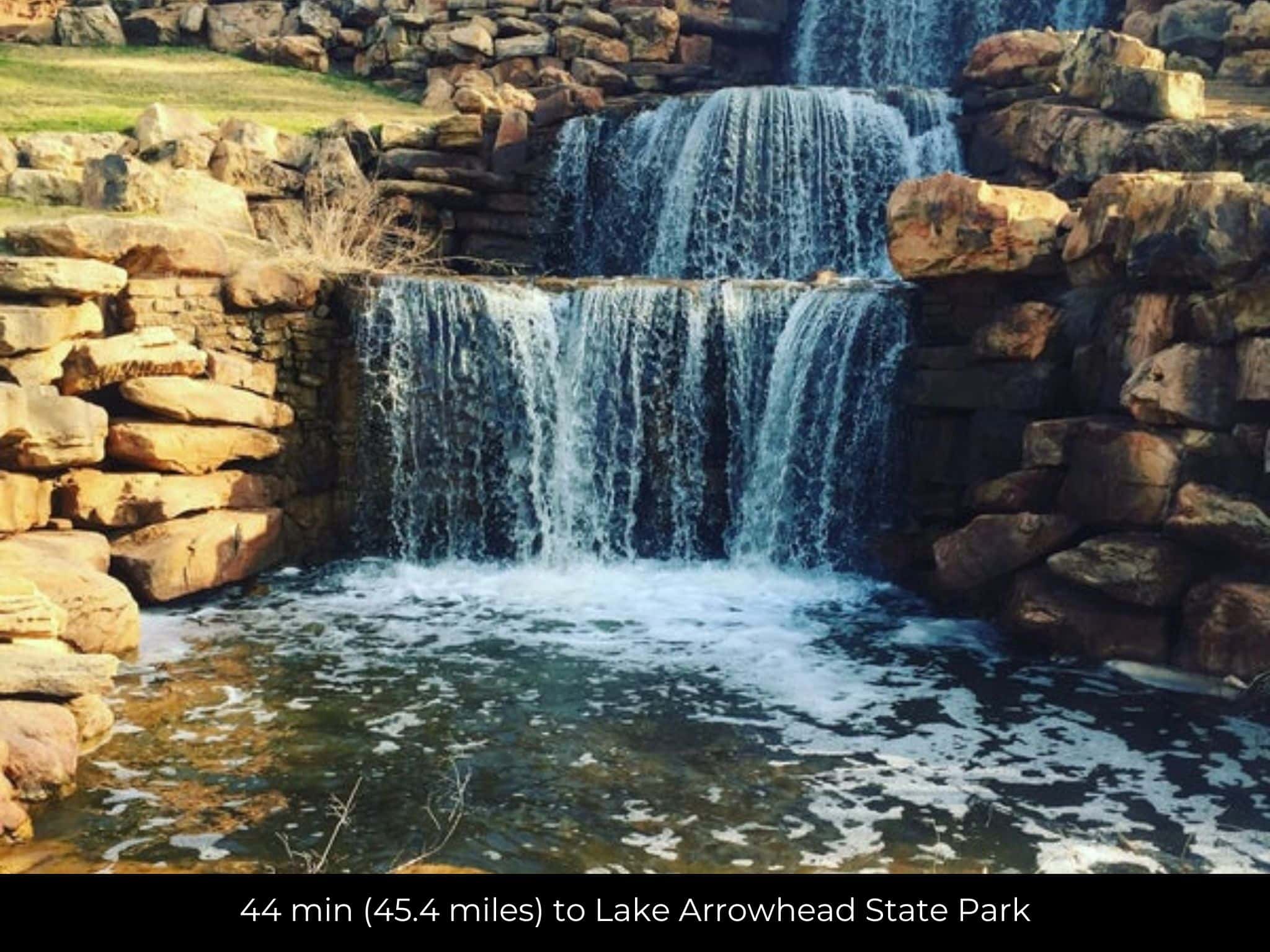
44 min (45.4 miles) to Lake Arrowhead State Park (about)
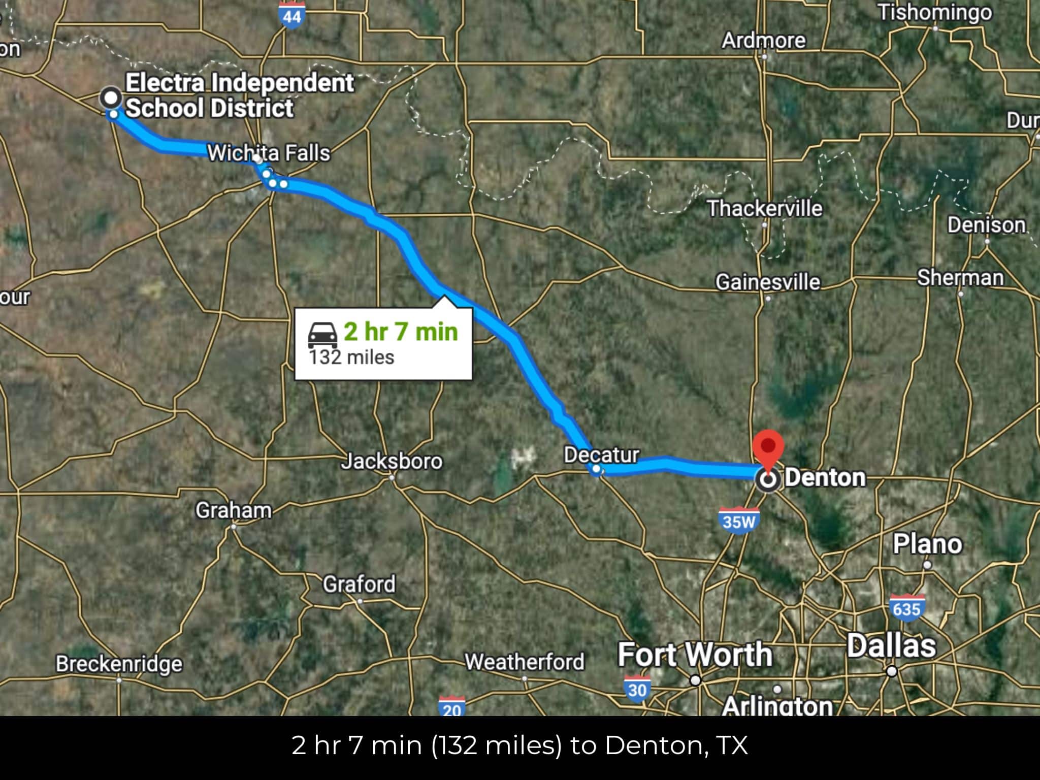
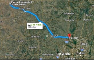
2 hr 6 min (132 miles) to Denton, TX (about)
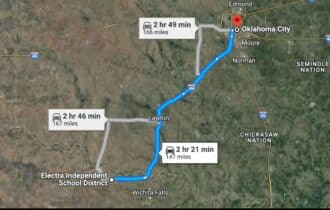
2 hr 22 min (147 miles) to Oklahoma City, OK (about)
County Contacts
Wichita county Assessor Tommy Smyth (940) 766-8200 (website)
Wichita county Treasurer Karen Provence (940)766-8136(website)
Wichita county Clerk Lori Bohannon (940)766-8100 (website)
Wichita county Zoning Fabian Medellin (940) 761-7451 (website)
Wichita county Health Samantha Blair (940) 761-7820 (website)
Wichita county CAD (website)
Wichita county GIS (website)
Closing Costs and Fees
$299
Document Prep Fee
Buyer will pay a $299 document preparation fee, which includes all postage and county recording fees. Seller will warrant title to the property.
$0
In-House Closing Fee
There will be no additional fees or expenses for an in-house closing. We will close in 14 days or less. This is the fastest, easiest, and cheapest way to close.
$1,500+
Title Company Fees*
Title Company costs are typically 2-5% of the purchase price with a minimum fee of around $1,500. Many states have legislated, standard insurance rates and other fees vary by the title company.
* If Buyer elects to close through a third-party title company, Buyer will bear all closing costs and expenses, including Seller’s title policy and Seller's escrow fees. Closing through a title company typically takes 30-45 days, depending on the county, title company, and transaction activity in the area.
Driving Directions and GPS Coordinates
🚗 Driving Directions:
Head east on Brosch Rd toward State Hwy 25 Nx 0.5 mi,
Turn right at the 1st cross street onto State Hwy 25 S 2.9 mi,
Turn left onto W Michigan Ave 0.4 mi,
Turn left onto N Electra St
📍 Northwest Corner: 34.0845, -98.9259 (Google Map)
📍 Northeast Corner: 34.0845, -98.925 (Google Map)
📍 Southeast Corner: 34.0774, -98.9251 (Google Map)
📍 Southwest Corner: 34.0774, -98.926 (Google Map)
📍 Center Point: 34.0811, -98.9254 (See embedded Google Map below 👇.)
Google Map
If you click the blue Directions link below, 👇 you can get Google turn-by-turn directions to the property on any device. The map coordinates for the Google Map below are for the approximate center of the property and not the entrance, gate, or primary access point for the property. Google Maps may provide driving directions that require the use of private or abandoned roads or may require you to go through gates located on private property. Do not trespass on private property! Some properties will require a 4-wheel drive vehicle or may be inaccessible in certain weather conditions. Please don't get stuck or lost.
Additional Notes
As-Is and As-Available: This property is being sold property “as-is” and “as-available.” No representations as to fitness for a particular purpose have been made. No verbal claims or promises have been made. Please see our Terms of Service for more information.
Contract: After making your initial deposit, we will email you the purchase and sale agreement, which includes a warranty deed. Agreements are prepared manually and will be sent out Monday through Friday between 9 AM and 5 PM CST. Thank you for your patience.
No Monthly Payments: We are not offering seller financing on this property. This is an all-cash transaction. We are not offering a payment plan. If you would like to finance your purchase of the property, please contact a third-party lender prior to making your deposit. We will not sign a purchase and sale agreement that is contingent upon third-party financing without a pre-approval letter.
3% Buyer's Agent Commission: You are not required to have an agent or broker assist you with purchasing this property. However, if the Buyer does use an agent, and the Seller is made aware of this prior to an agreement on price or signed contract, the Seller will pay a 3% commission to the Buyer's licensed agent or broker.
Maps and GPS Coordinates: Maps and GPS coordinates are believed to be accurate, but accuracy is not guaranteed. The information contained in the maps should not be considered a “legal description,” and the maps and GPS coordinates are not a replacement for a survey. We have taken reasonable steps to ensure that parcel lines, maps, and coordinates are in fact accurate, but third-party geographical information system (GIS) providers, including information from the county, often contain errors and inaccuracies.