


SOLD:🏢 🛣️ Commercial Property: 2.40 Acres in Amarillo, TX
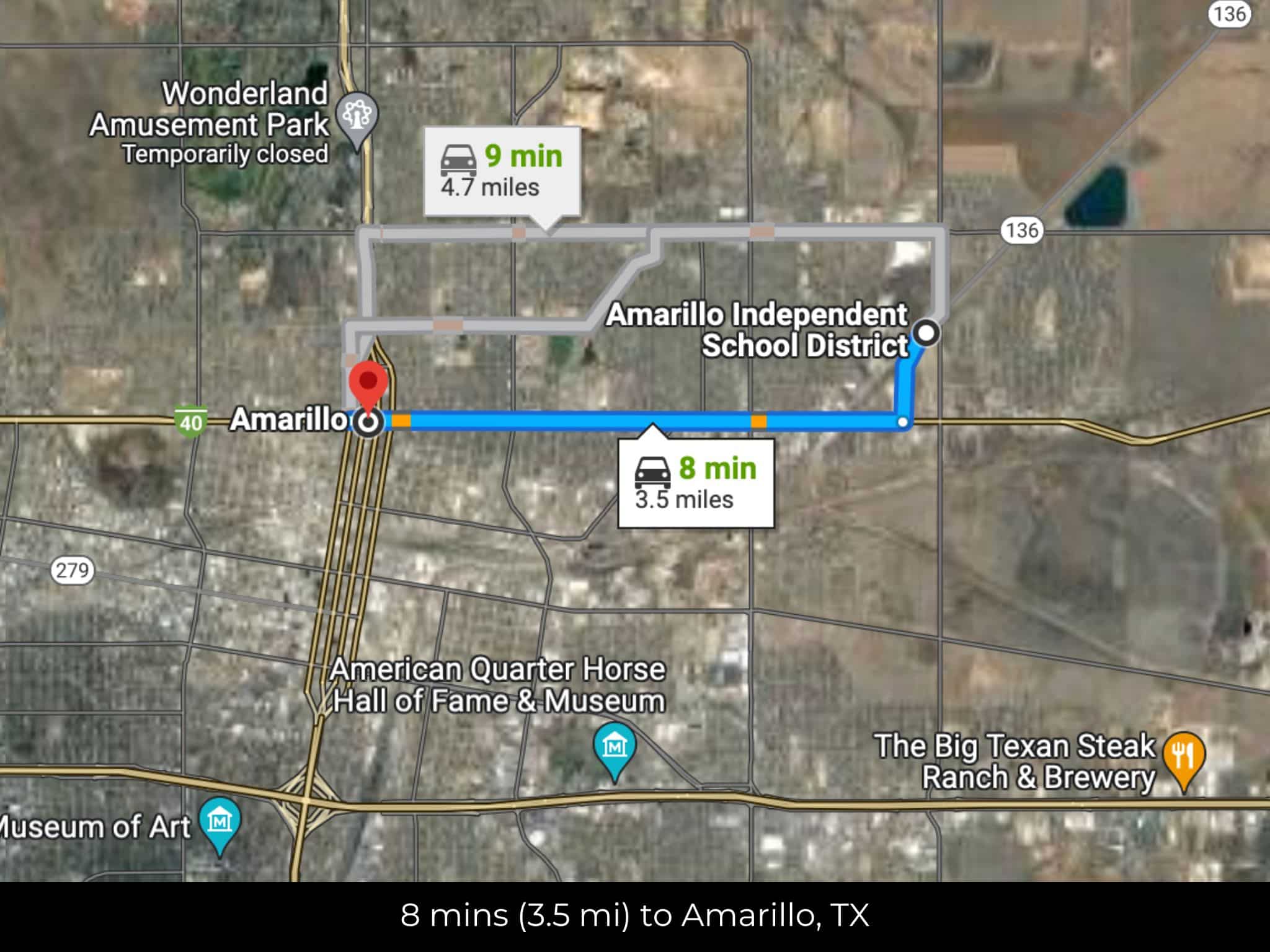
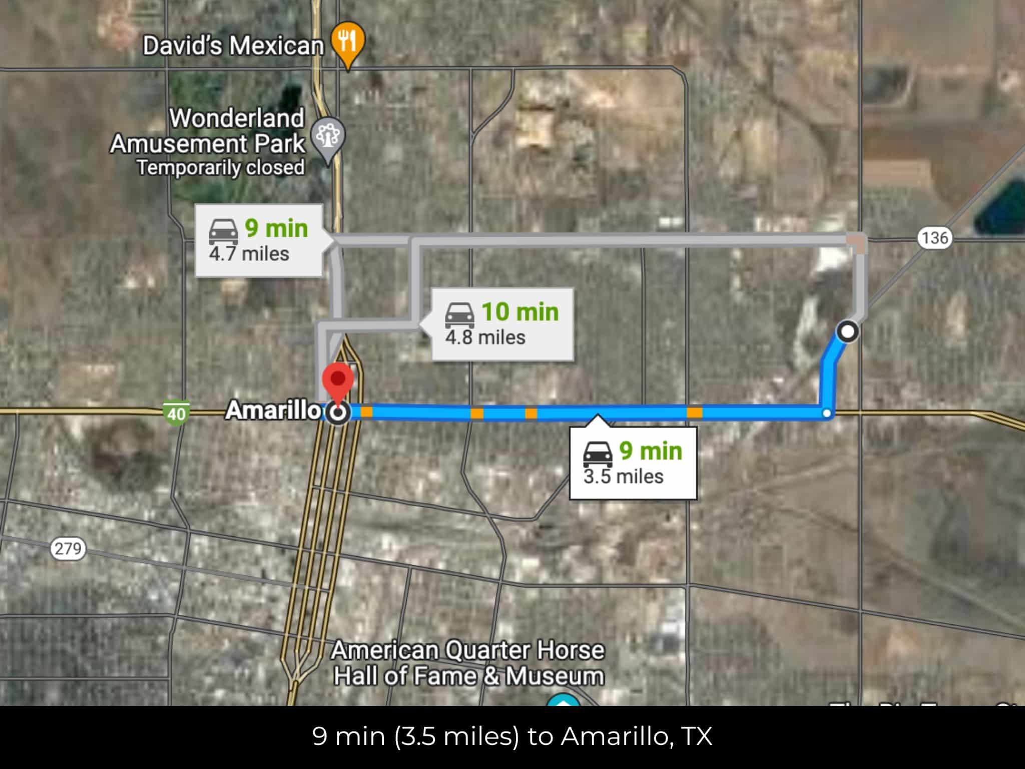
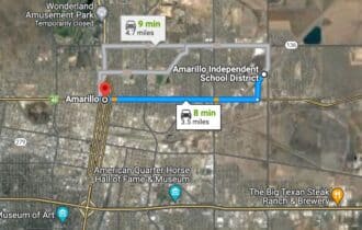
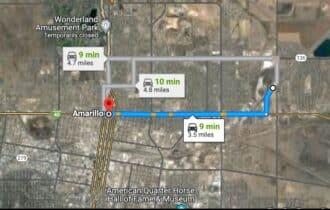
8 min (3.5 miles) to Amarillo, TX (202,333)
APN# 219661
Payment
Payment Notes:
Warranty of Title: The property will be conveyed via a general warranty deed, guaranteeing you free and clear title to the property.
We accept Cash or 3rd party financing with a pre-approval letter.
We do not offer owner financing. No payment options are available for this property.
Paying a 3% Buyer's Agent Commission!
Property Description
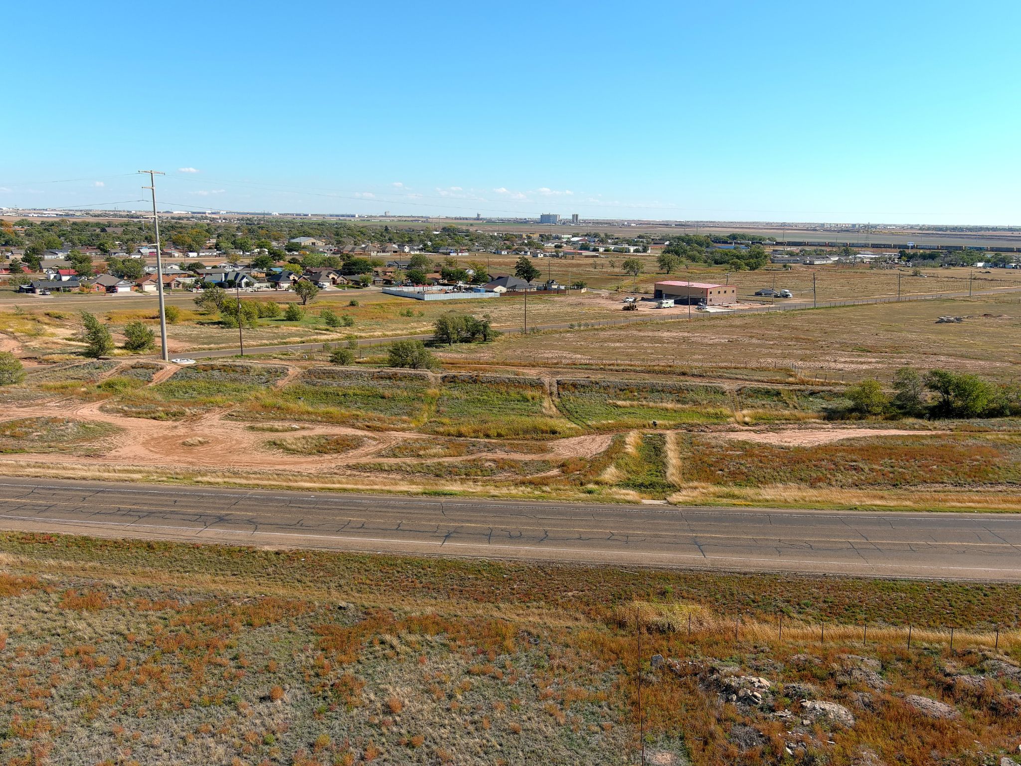
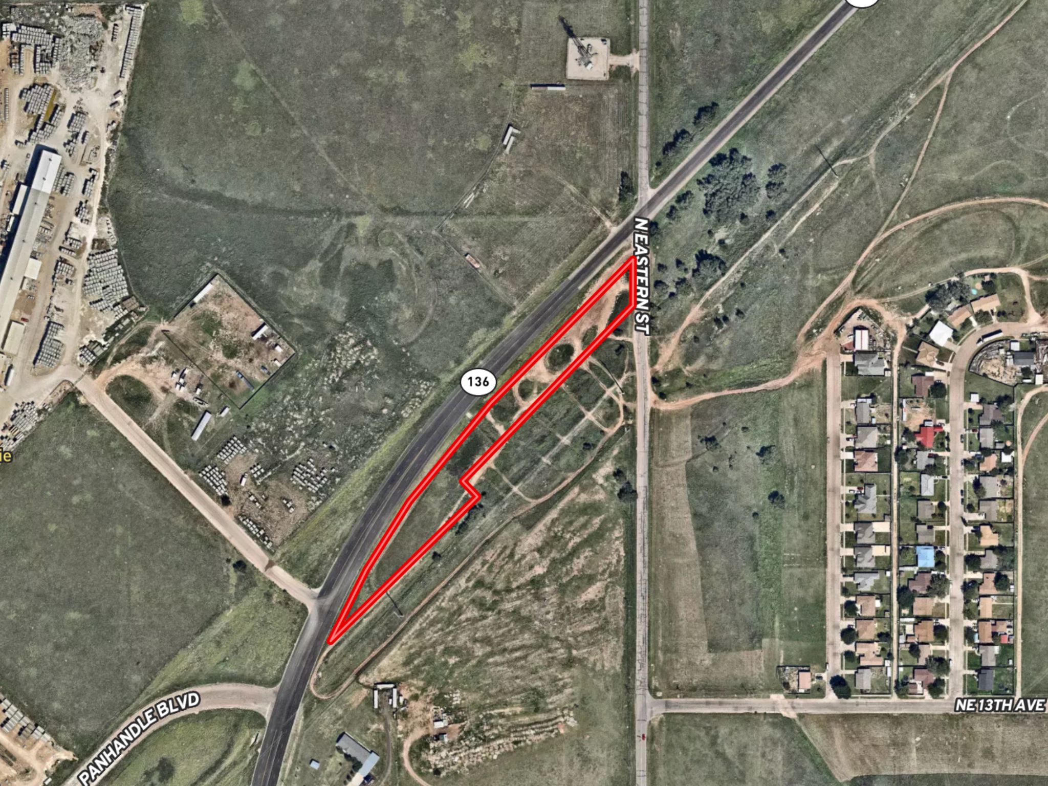
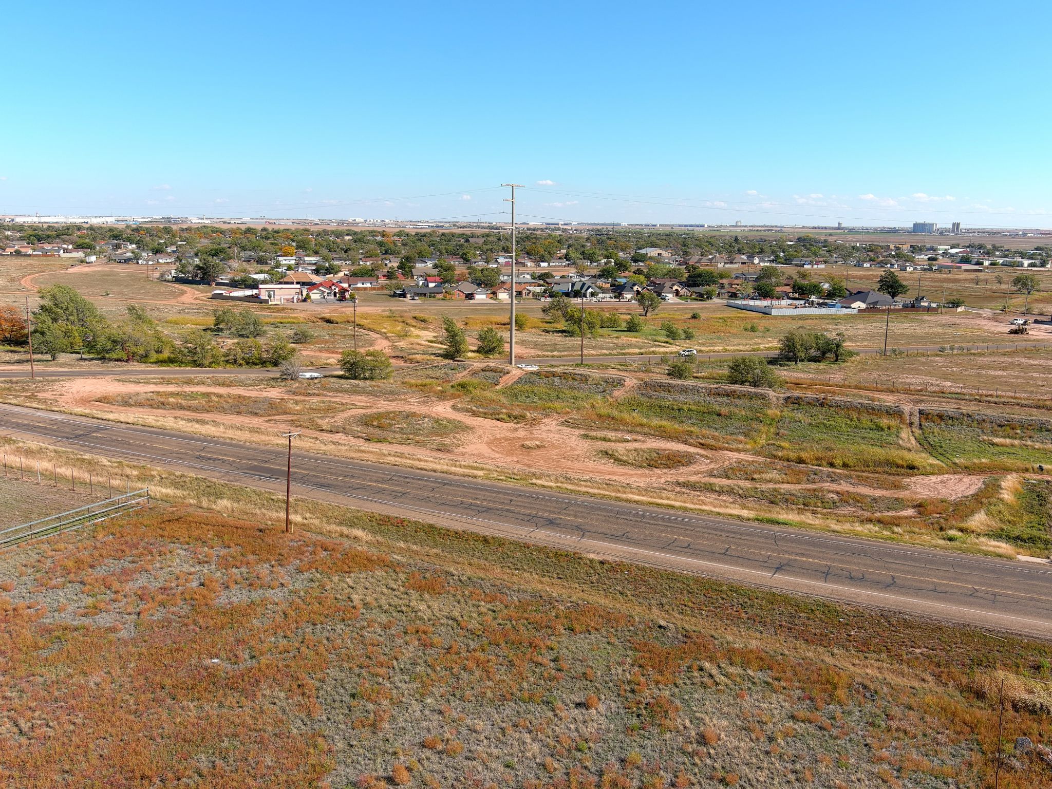
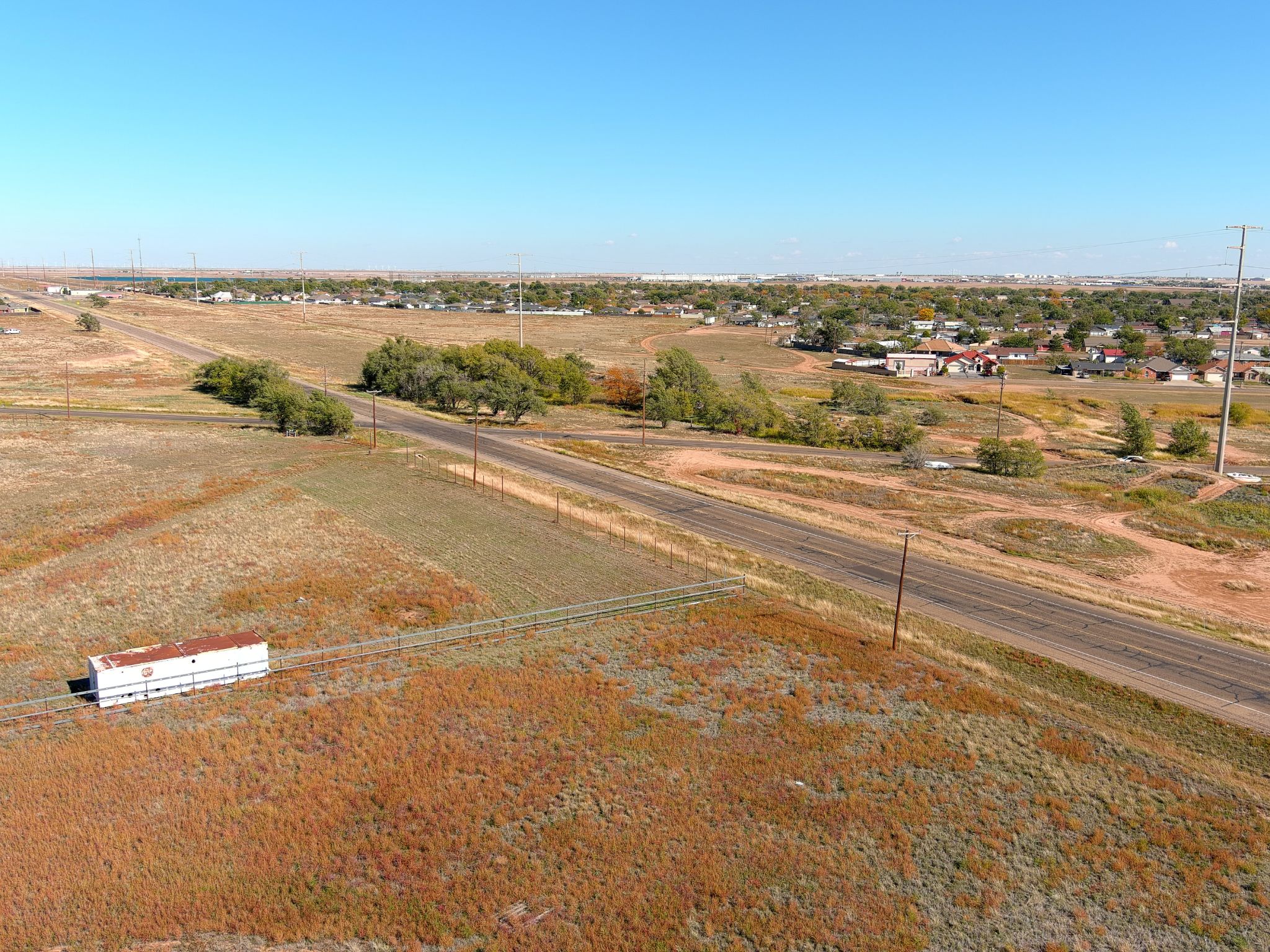
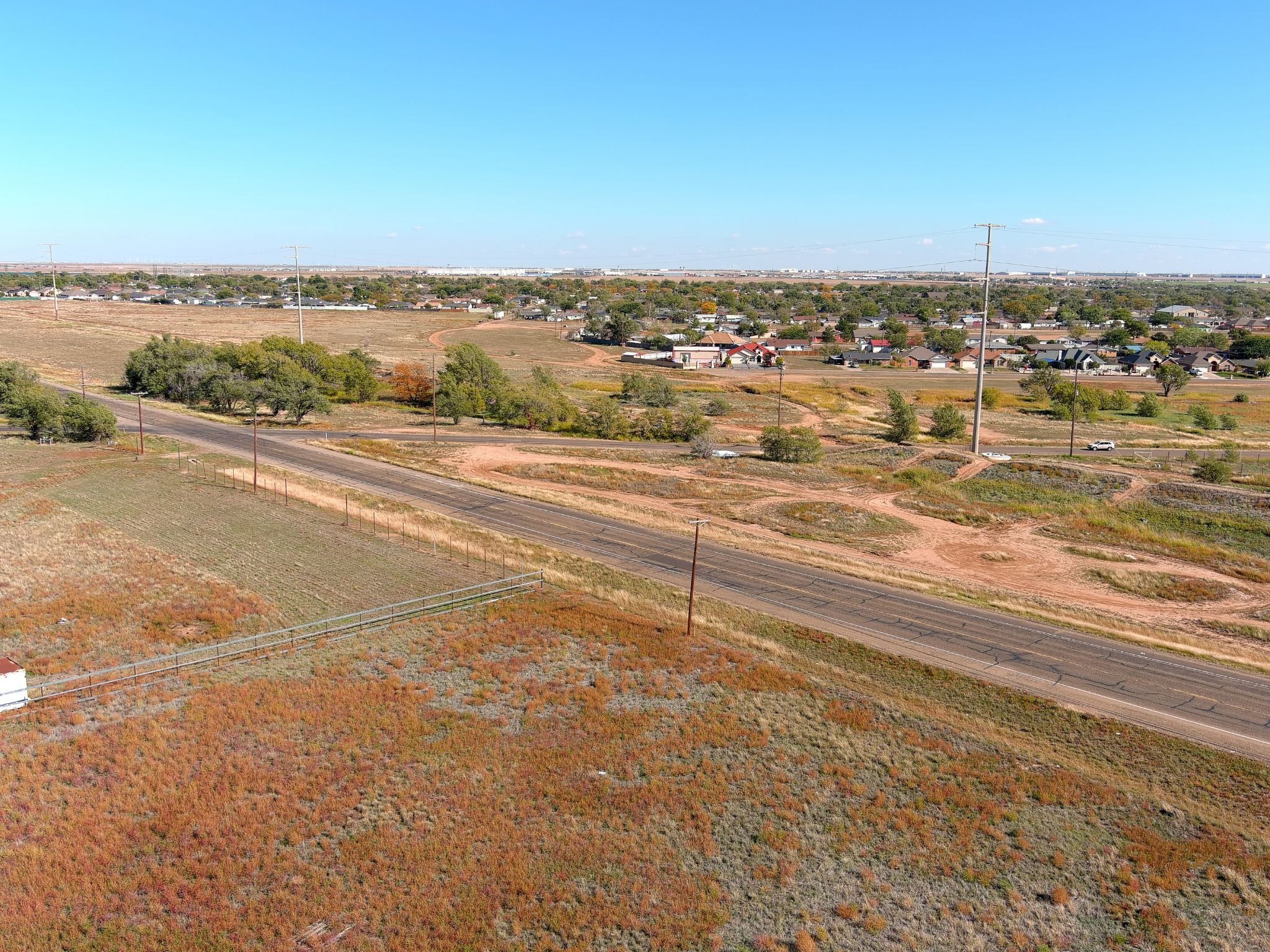
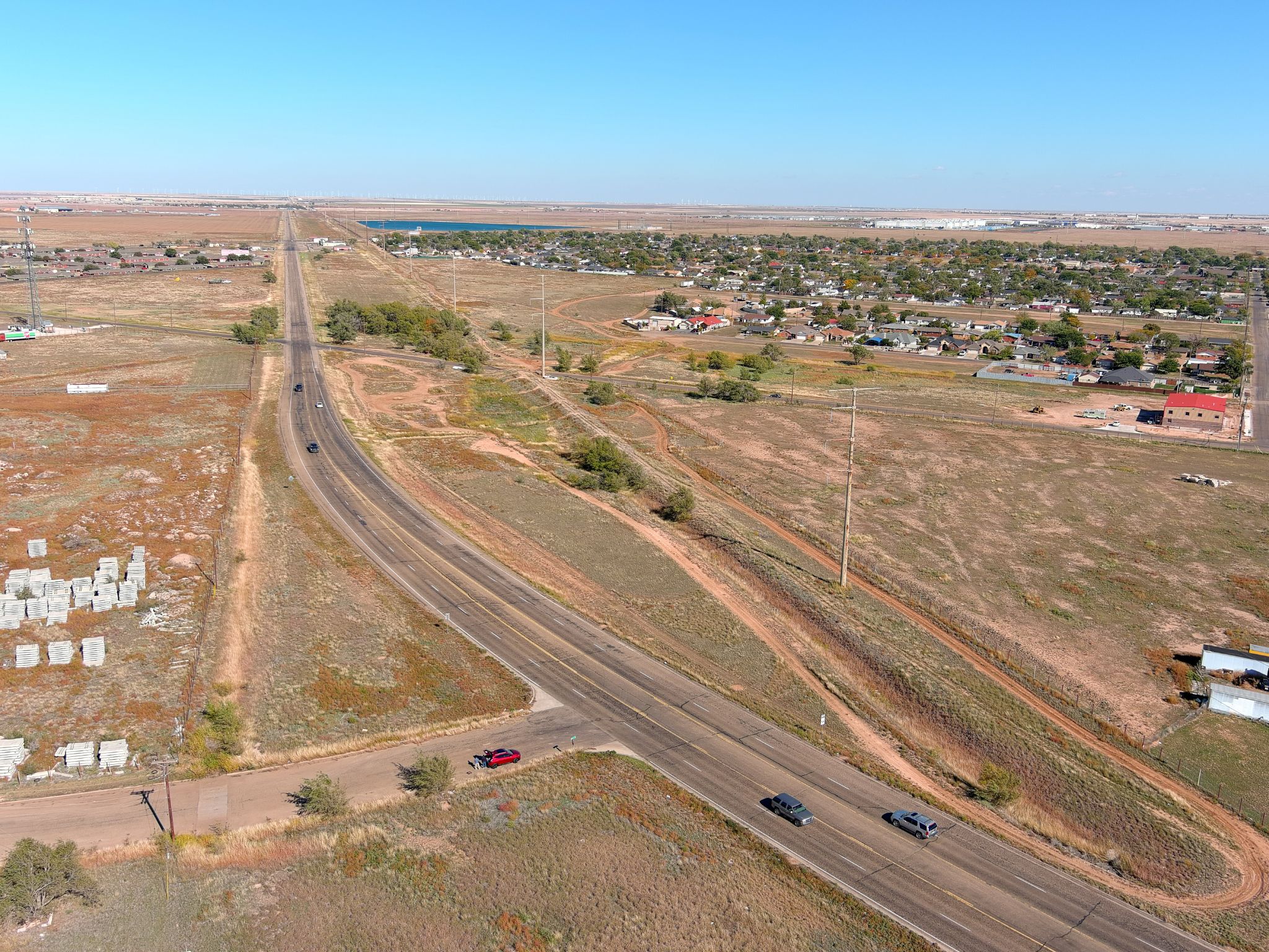
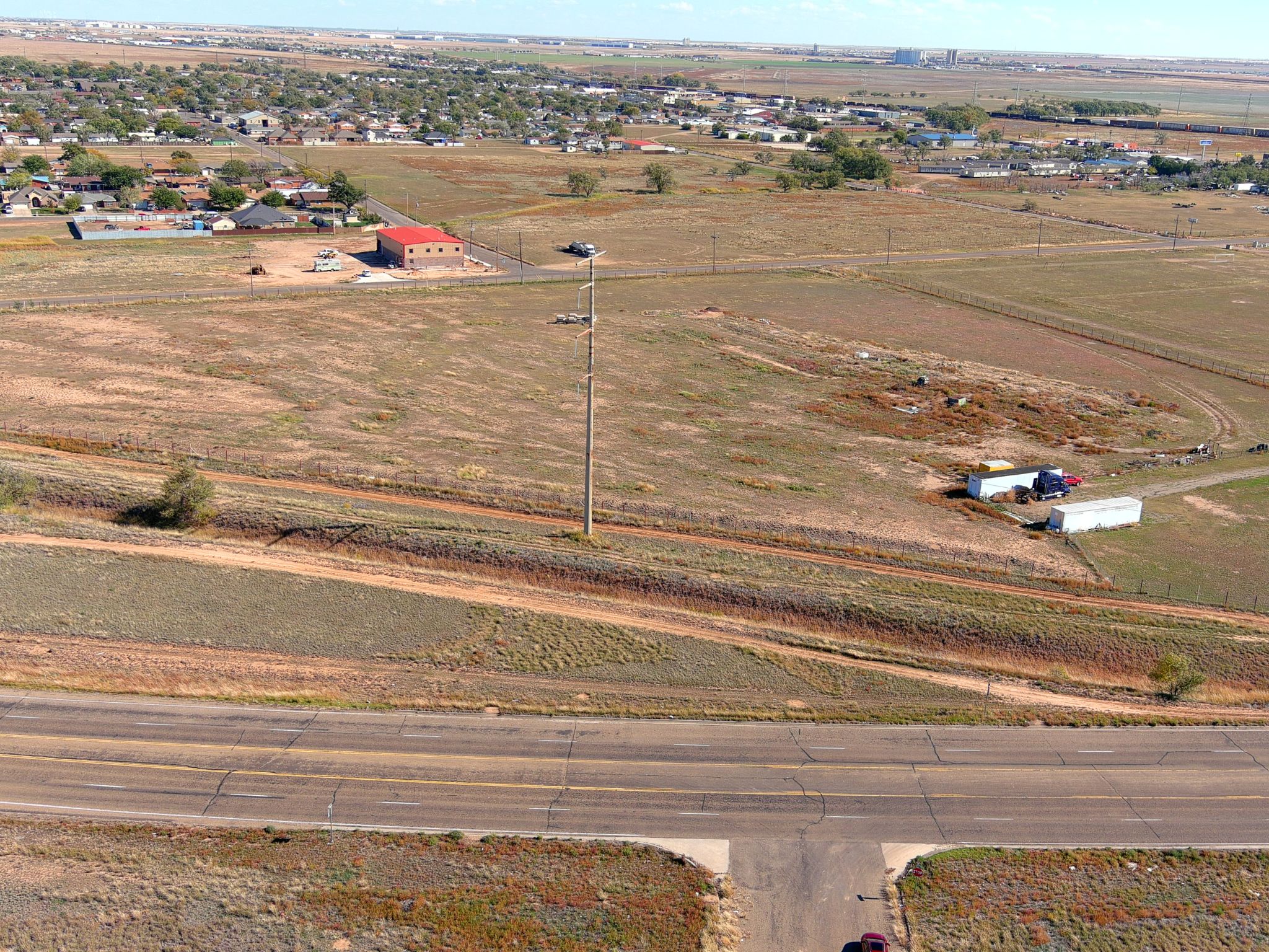
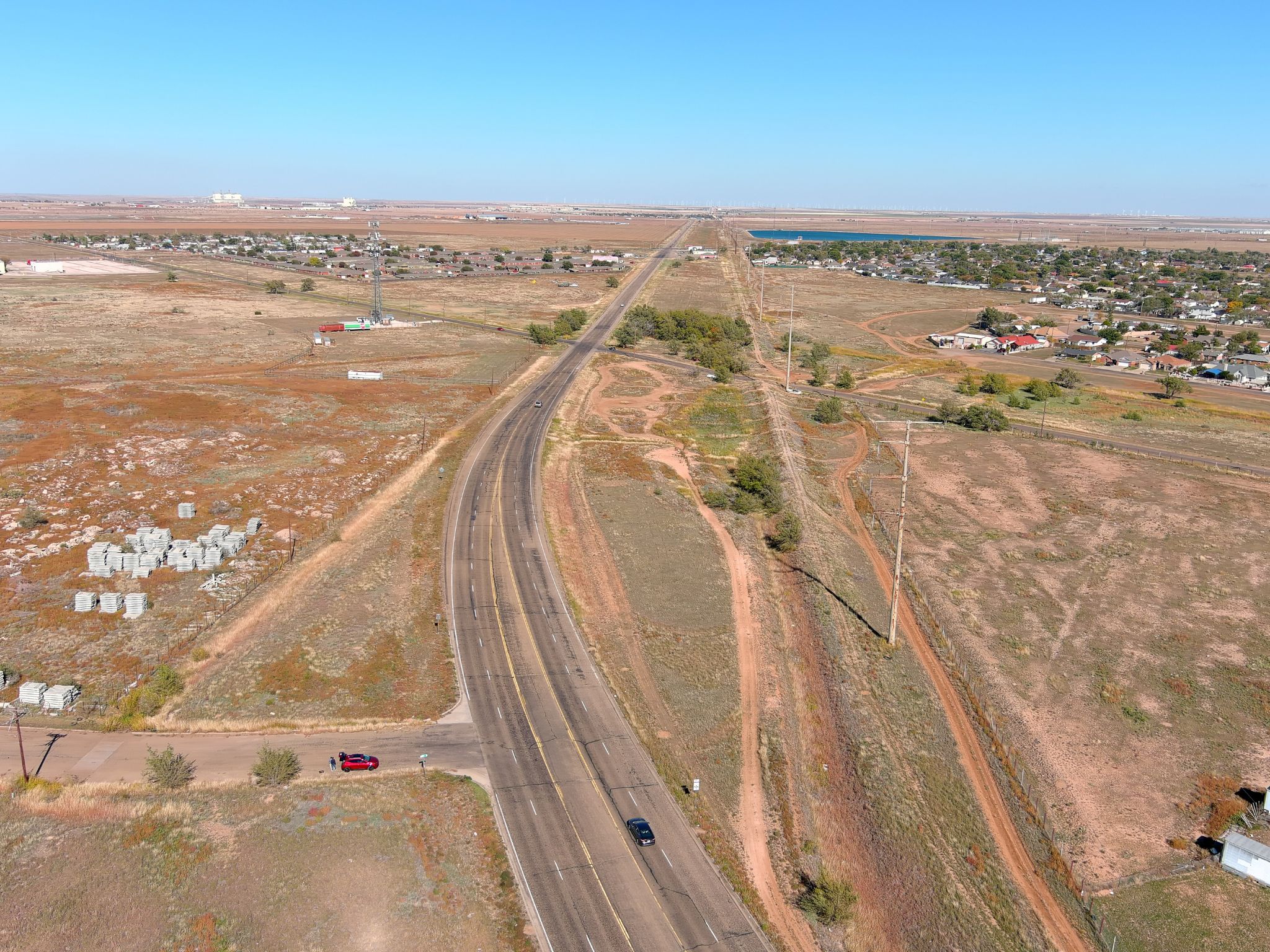
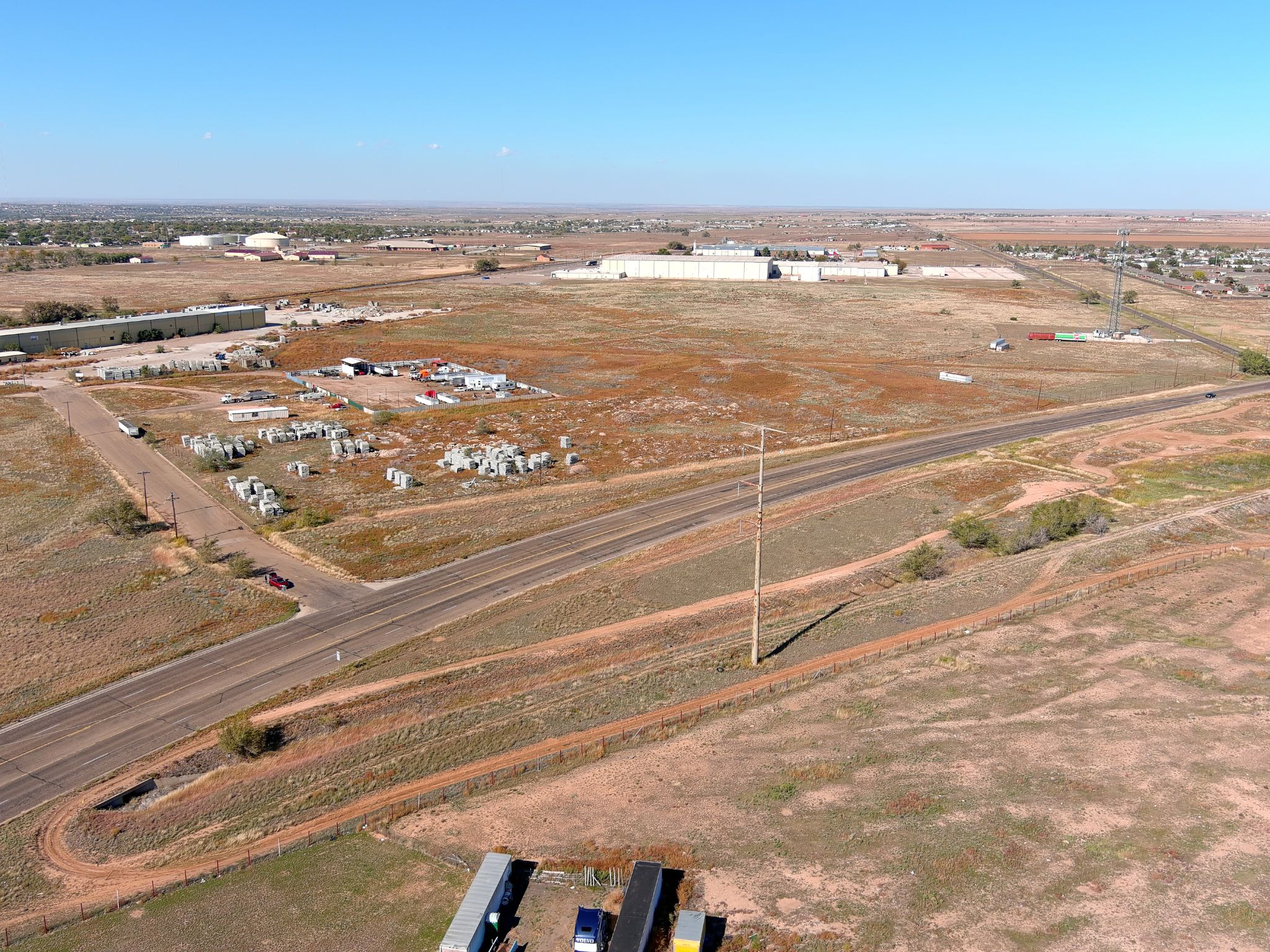
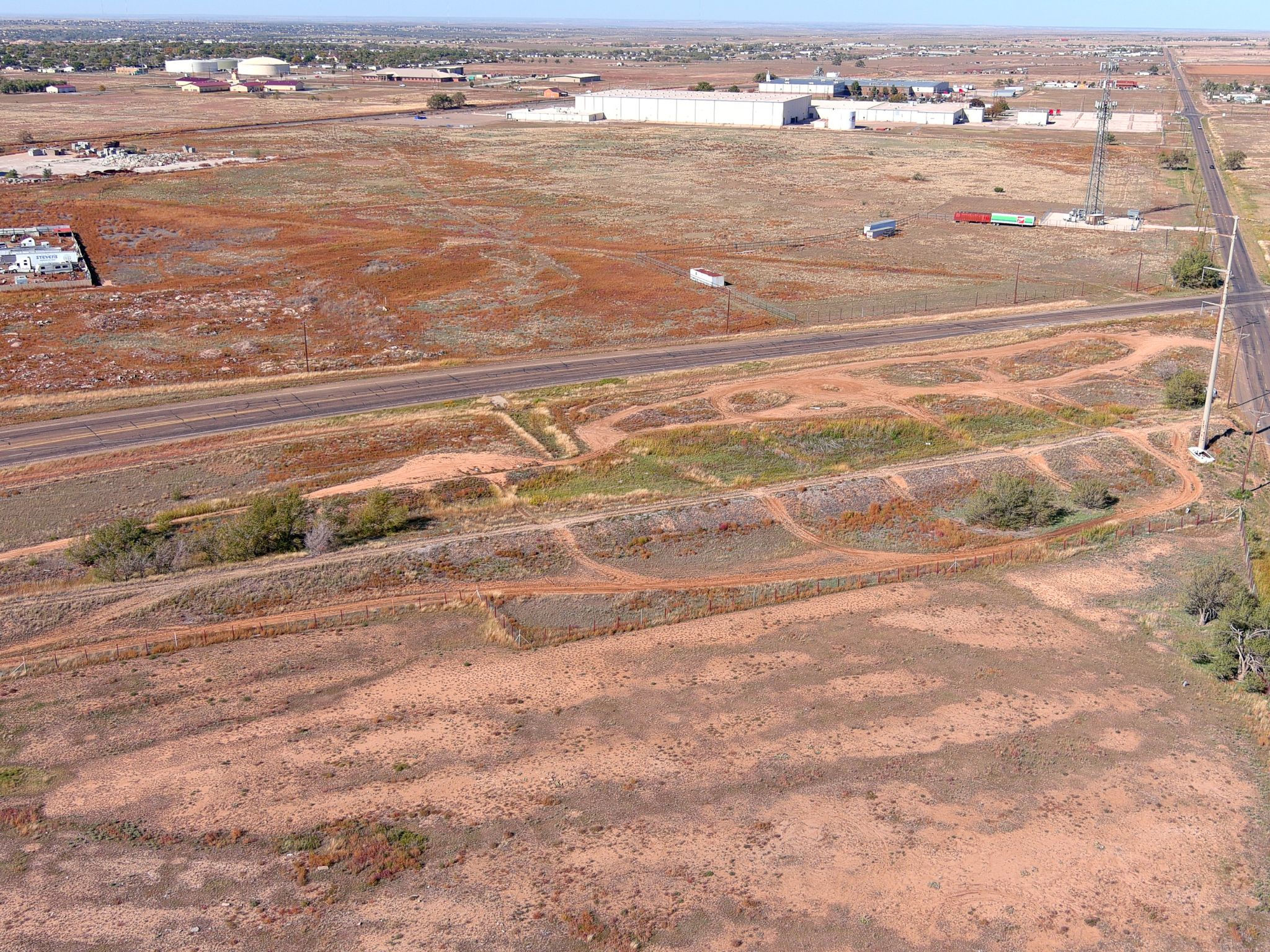
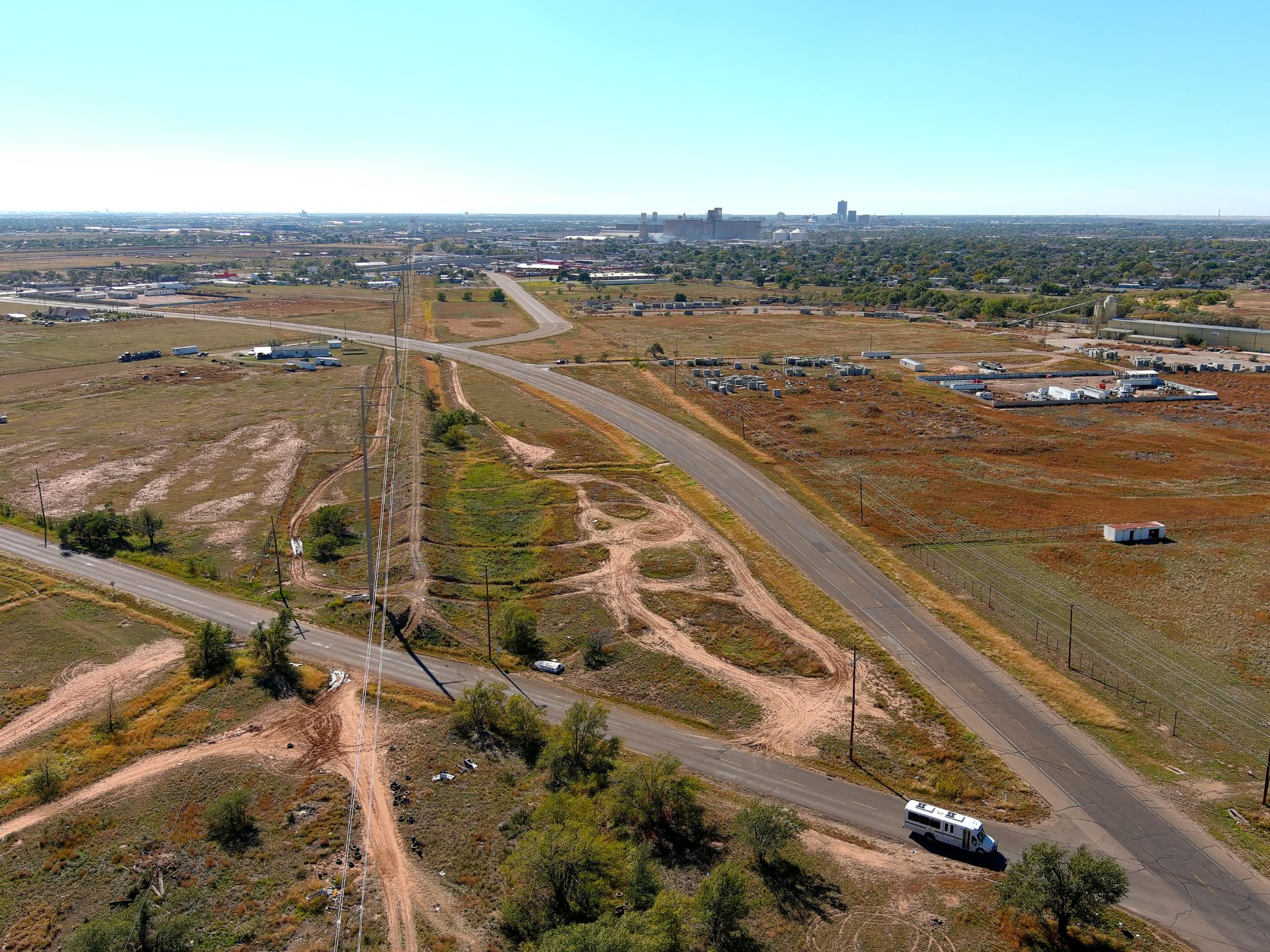
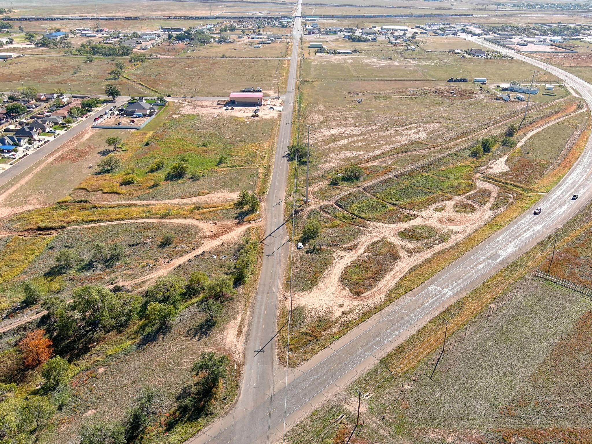
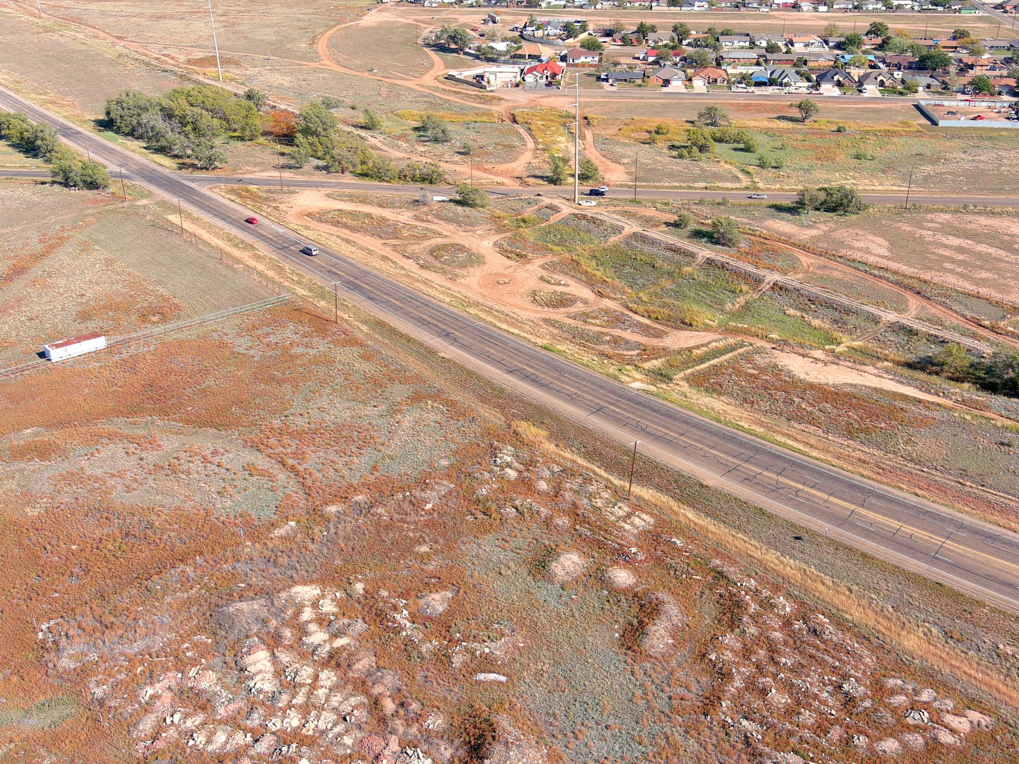
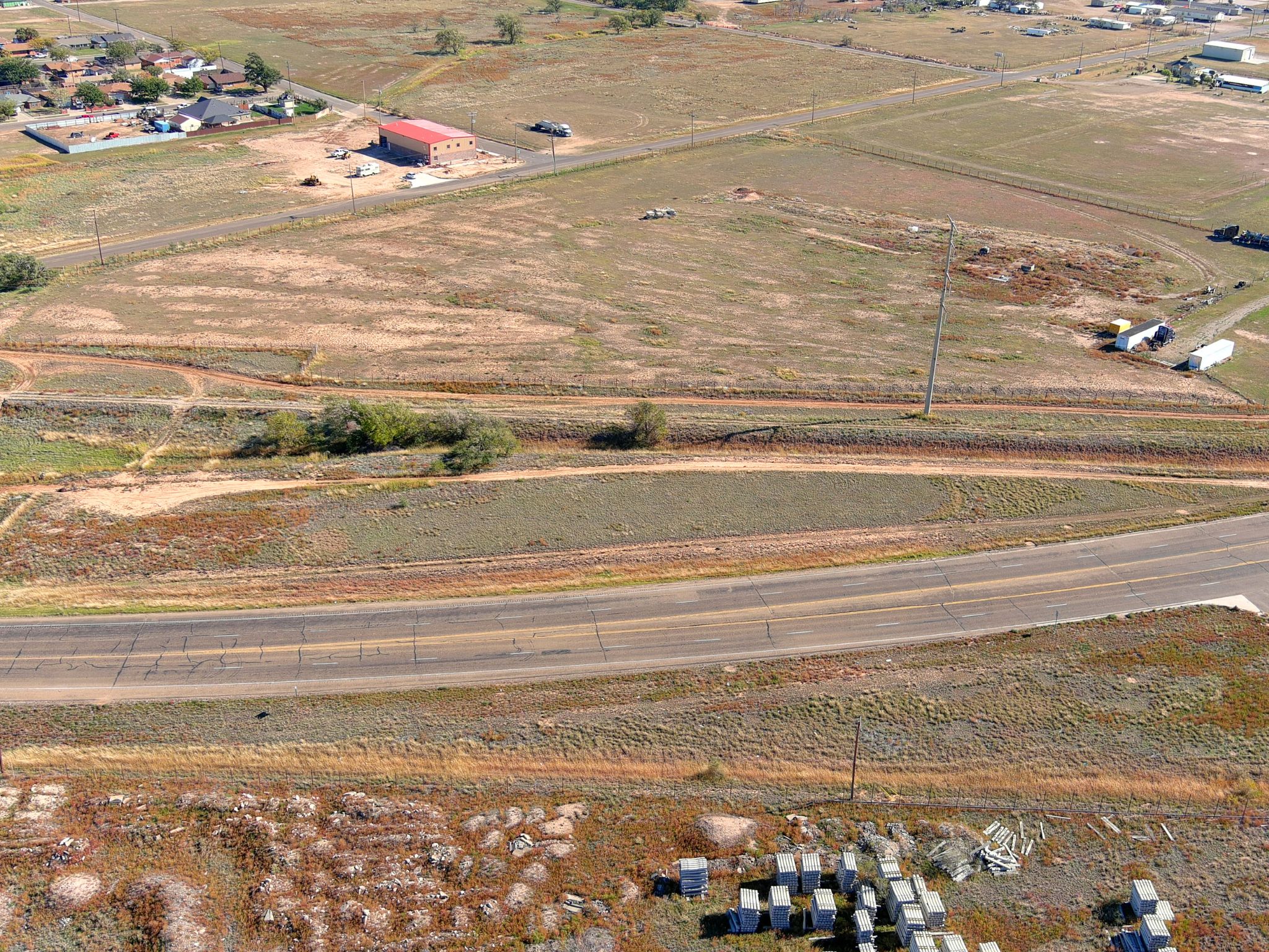
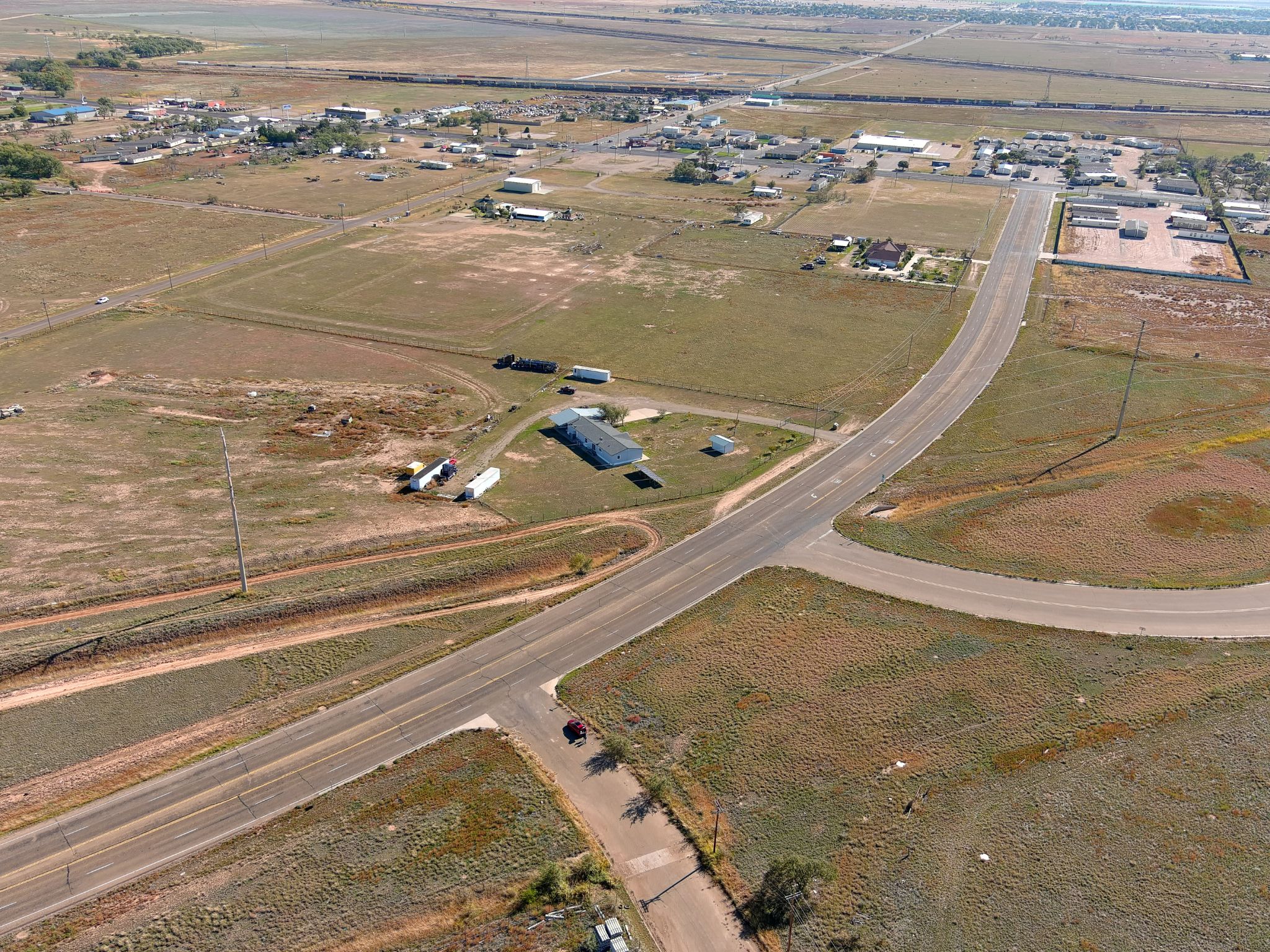
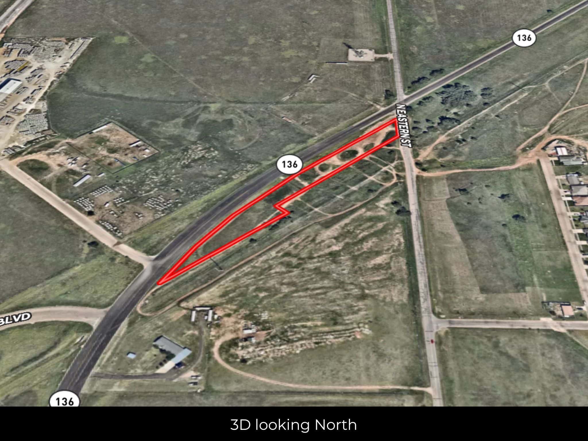
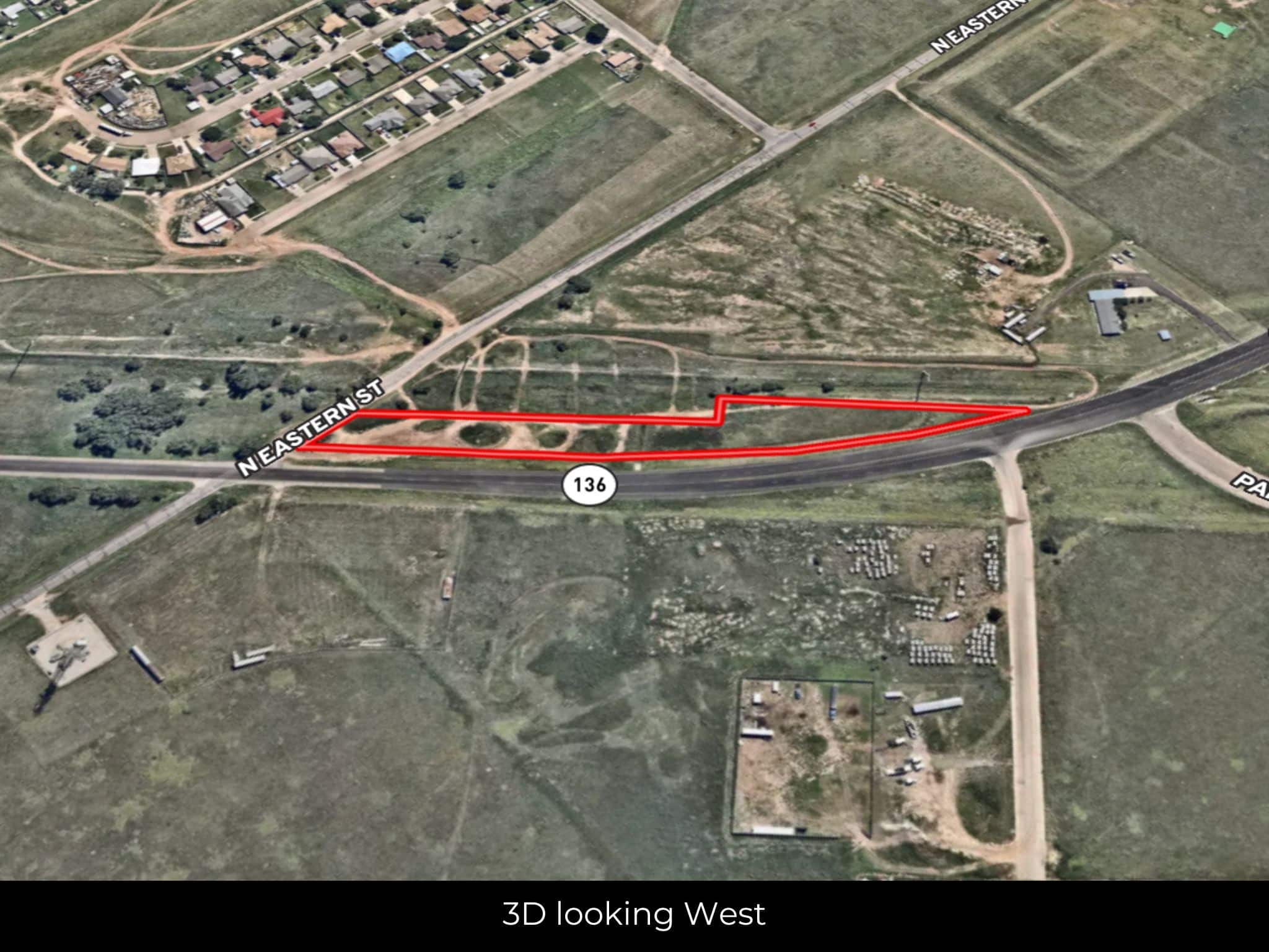
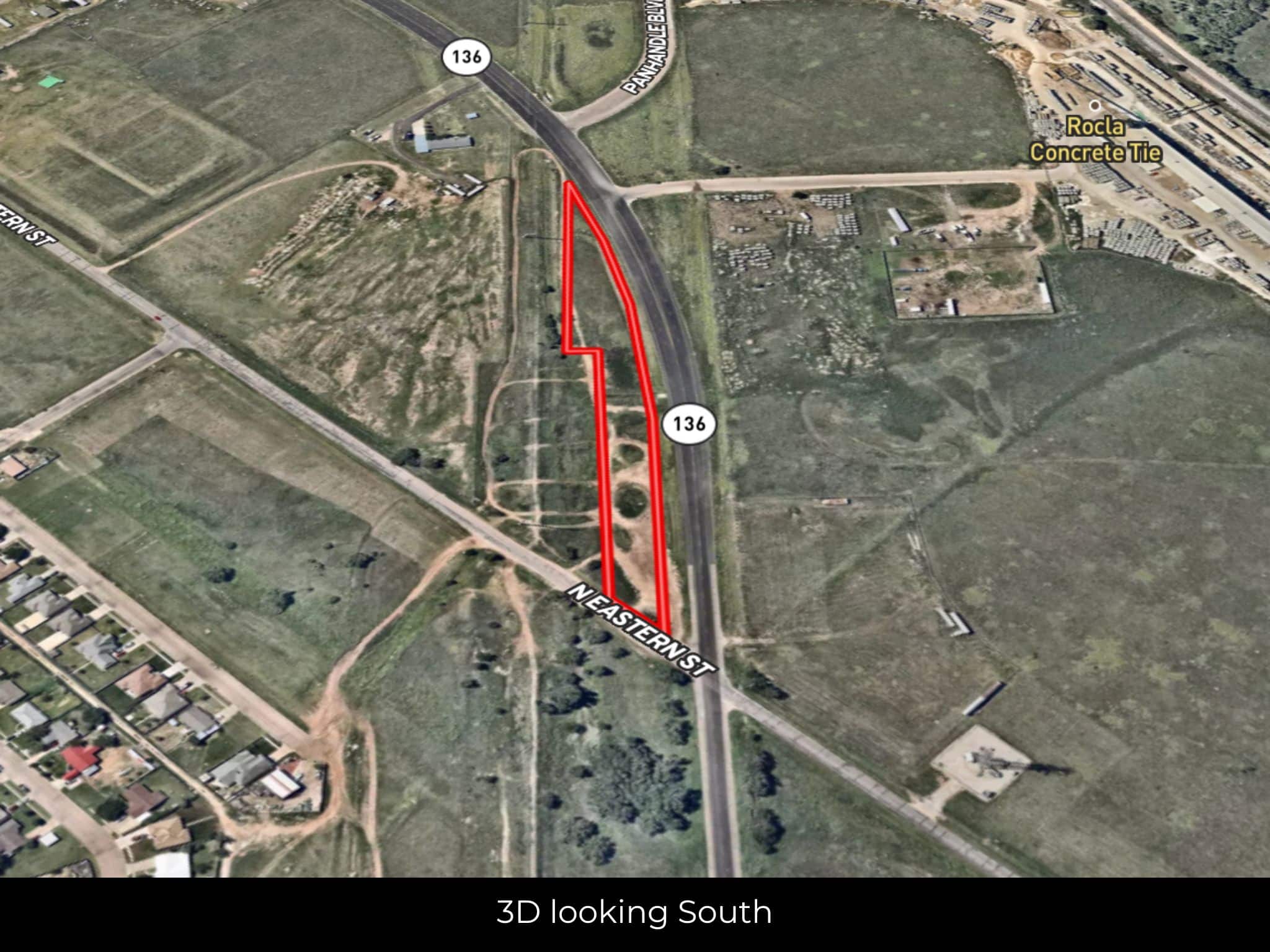
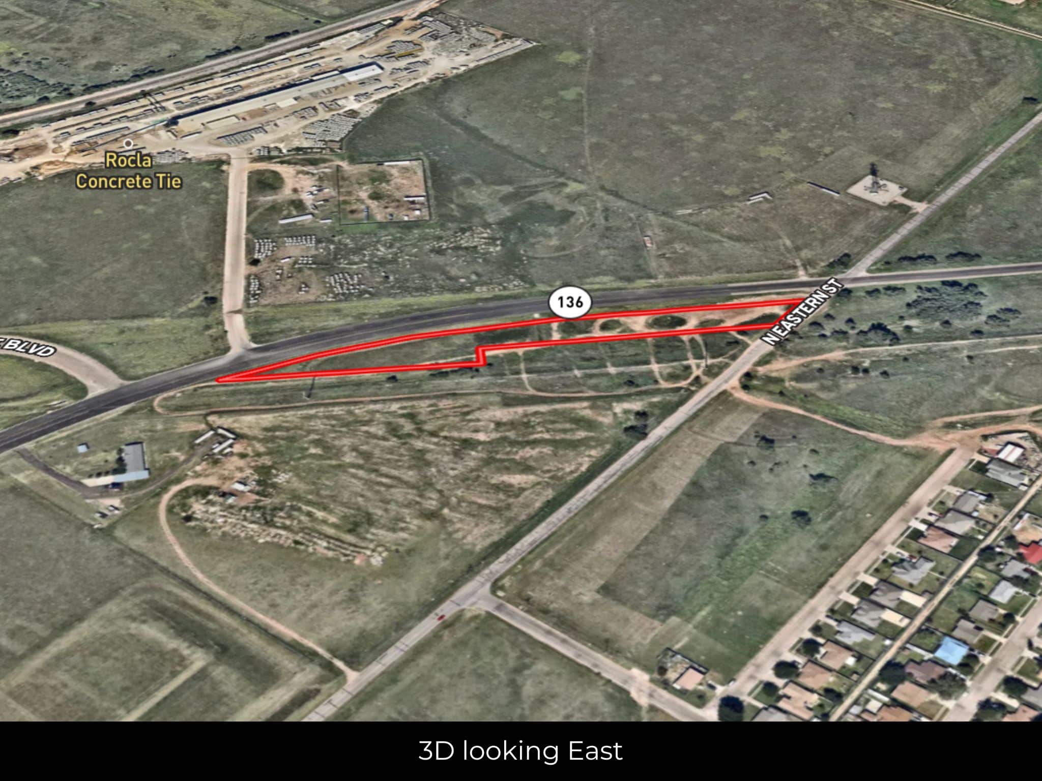
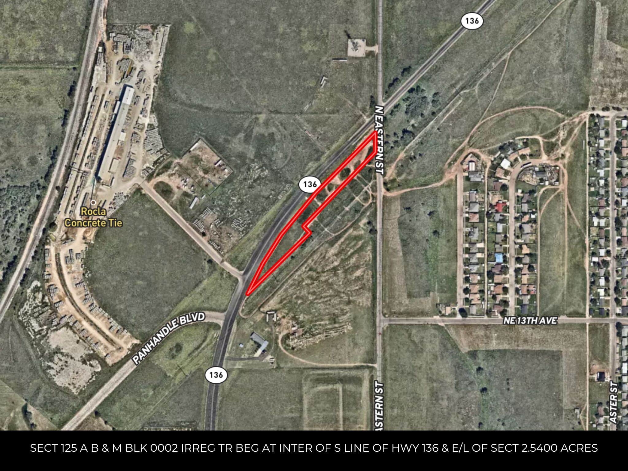
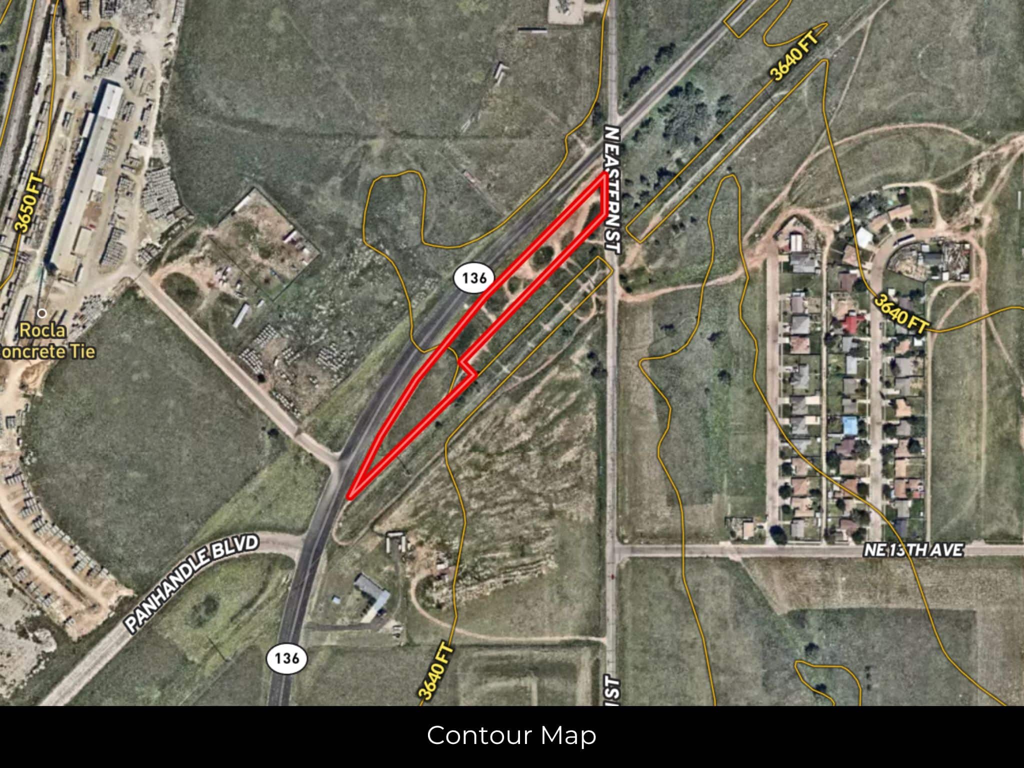
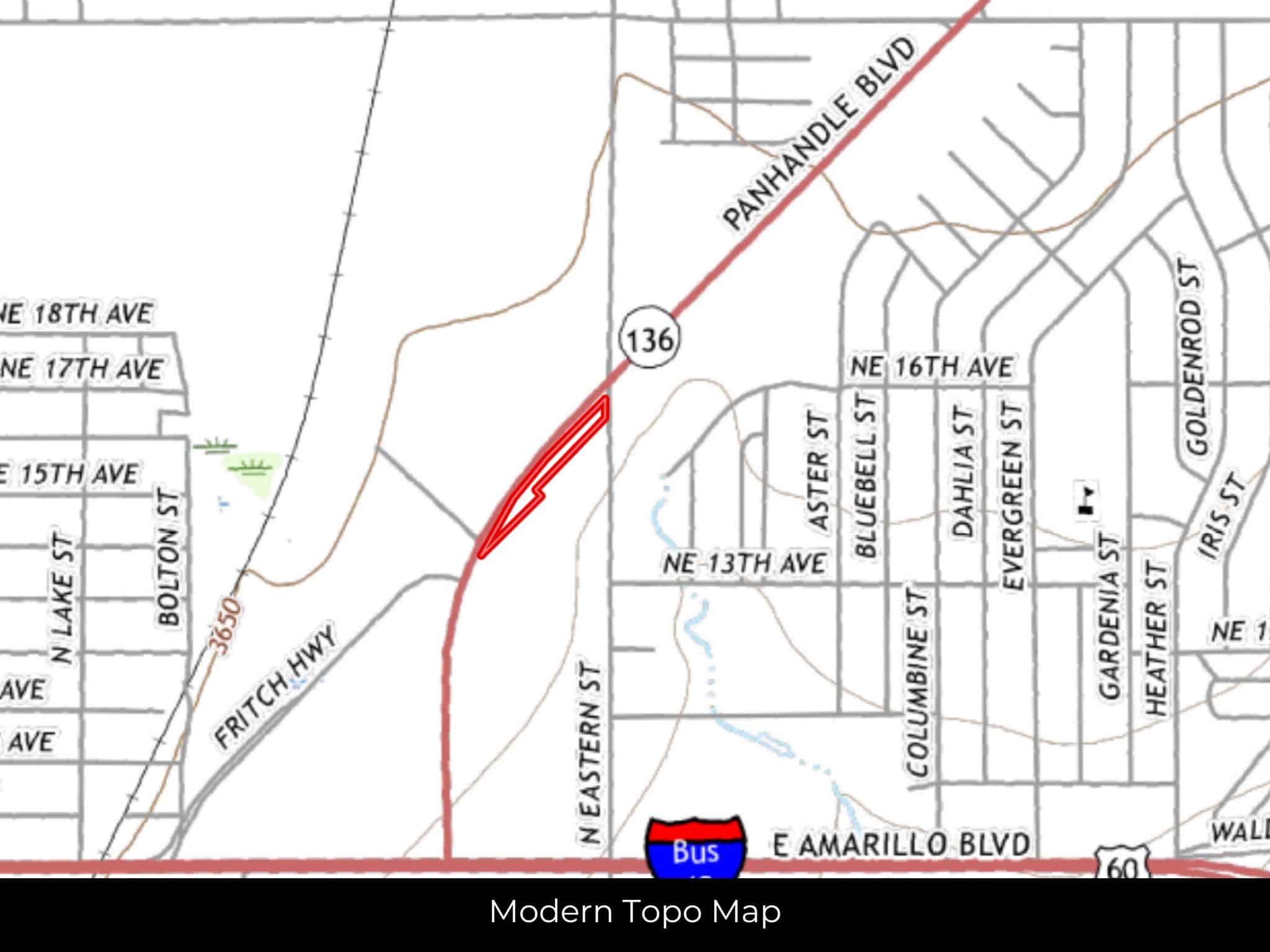
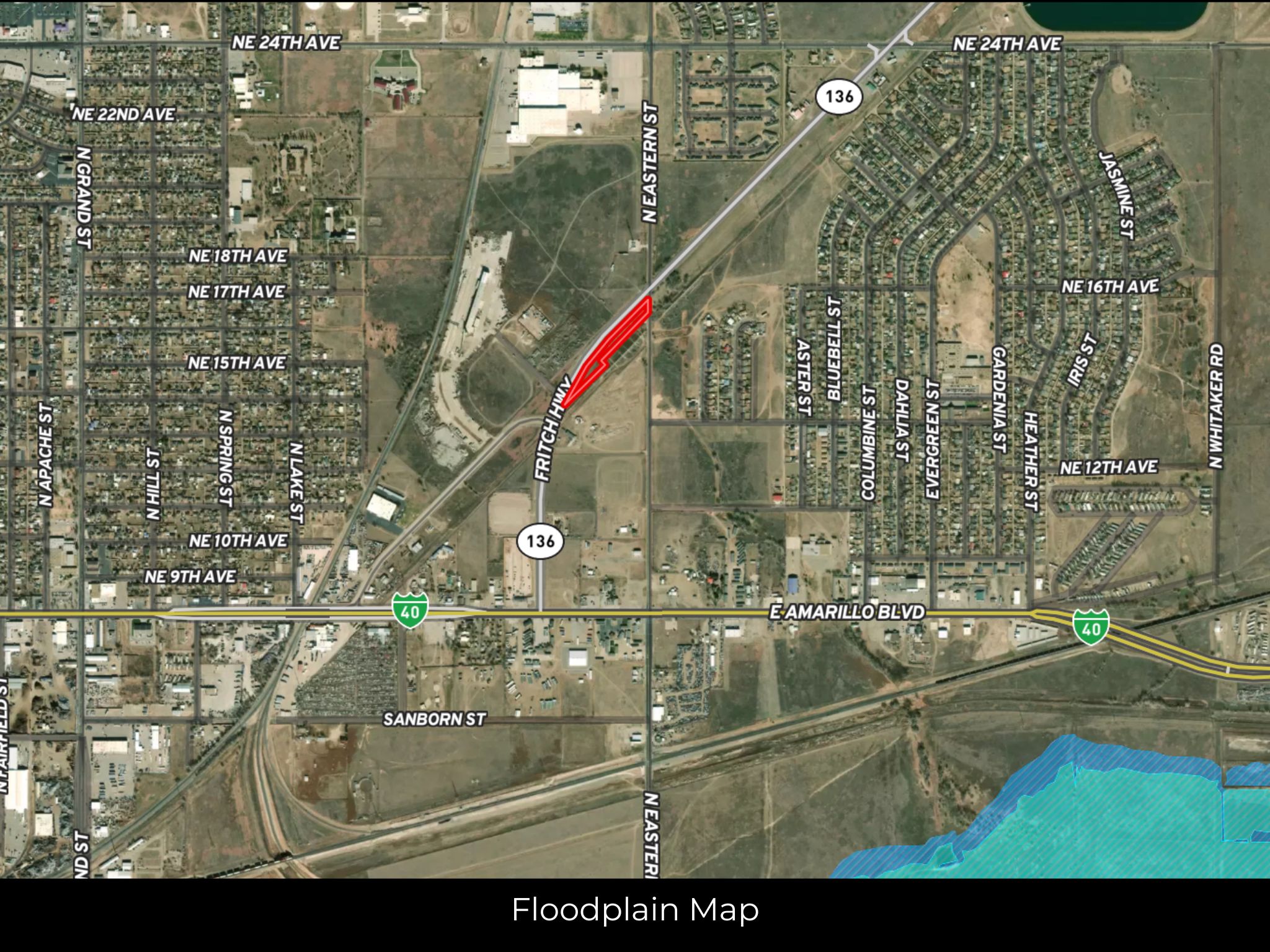
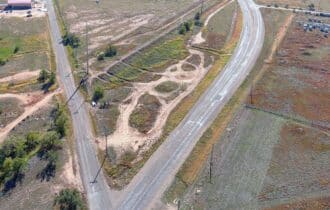
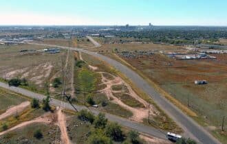
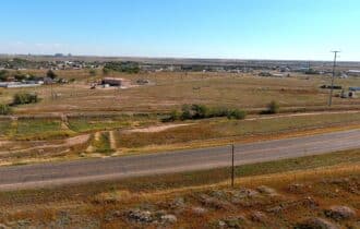
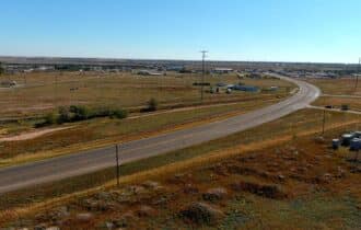
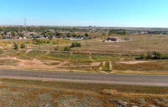
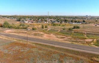
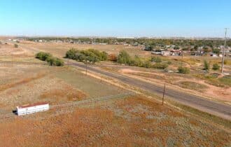
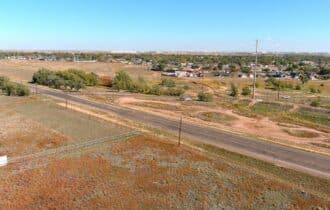
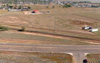
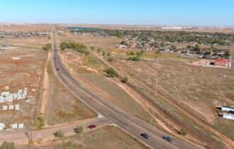
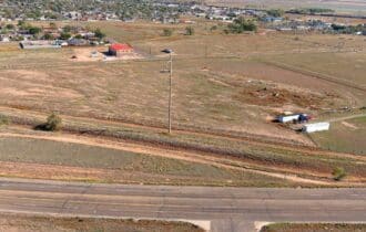
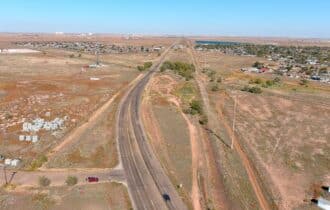
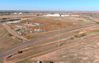
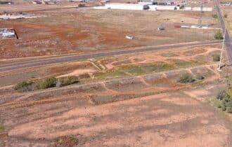
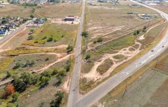
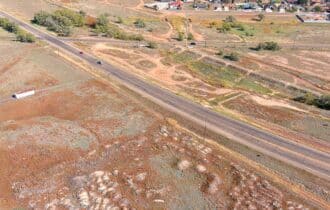
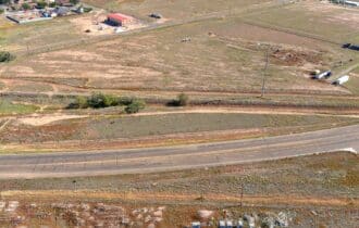
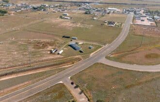
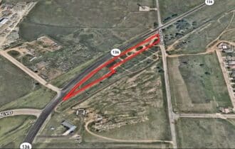
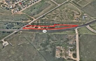
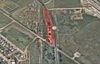
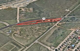
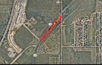
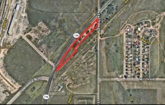
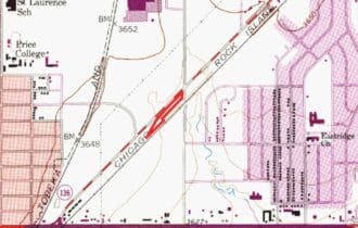
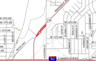
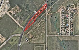
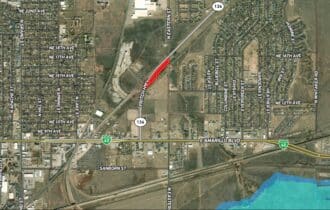
Welcome home! This 2.40-acre lot on the northeast side of Amarillo is ready for all your ideas. It is currently zoned for residential use, but with 1,250 feet of frontage along Fritch Highway, it also has commercial or industrial possibilities. A modest but fully developed subdivision is just 400 feet away. Power is along the highway, and it is not in a FEMA flood zone.
Amarillo is a hidden panhandle gem with a robust economy with Tyson Foods, Texas Beef, and BSA Health System employing thousands of local residents. Combined with the low cost of living, four distinct seasons, and lots of outdoor activities, Amarillo is an attractive place for young professionals and families. The U.S. Department of Education ranks Amarillo at #14 for lowest cost of living, #24 for the best place to buy a house, and #33 for best place to retire out of 228 cities.
Iconic Route 66 passes through Amarillo, and some of the area’s best-known attractions are along this historic road. Cadillac Ranch has 10 vintage Cadillacs buried in the sand at an angle mimicking the Great Pyramids of Giza. Bring your creativity because visitors are encouraged to bring their own spray paint to update the art. Be sure to bring your appetite too because The Big Texan Restaurant is in the same area. Guests can get a 72 oz steak for free – if they can finish the steak and all the sides in under an hour. In town, the Route 66 Historic District has lots of local shops with endless tchotchkes to discover.
This 2.40-acre lot with great road frontage and a prime location in town is priced to sell and will not last long. Contact me today for more information.
Visiting the Property
You are welcome to visit the property at your convenience and anytime while it's still available. However, we HIGHLY recommend checking-in with us prior to visiting the property in case the property has gone under contract or already sold.
The interactive map above is generated with MapRight. MapRight has free apps for Apple IOS and Android that can be used to track your location and route throughout a property and provide driving directions.
MapRight for Apple –> Download App.
MapRight for Android –> Download App.
To launch the interactive map on your device, 1) install the free MapRight app using one of the two links above for Apple or Android, and 2) click the “View Full Screen” link (see above) in the embedded map on the property listing page.
Property Information
Parcel Size
2.40 Acres
State
Texas
County
Potter
Nearest Cities
Amarillo, TX
Parcel #
219661
Address
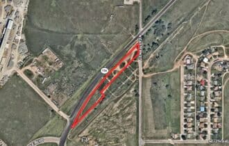
00 SH 136, Amarillo, TX, 79107
Legal Description
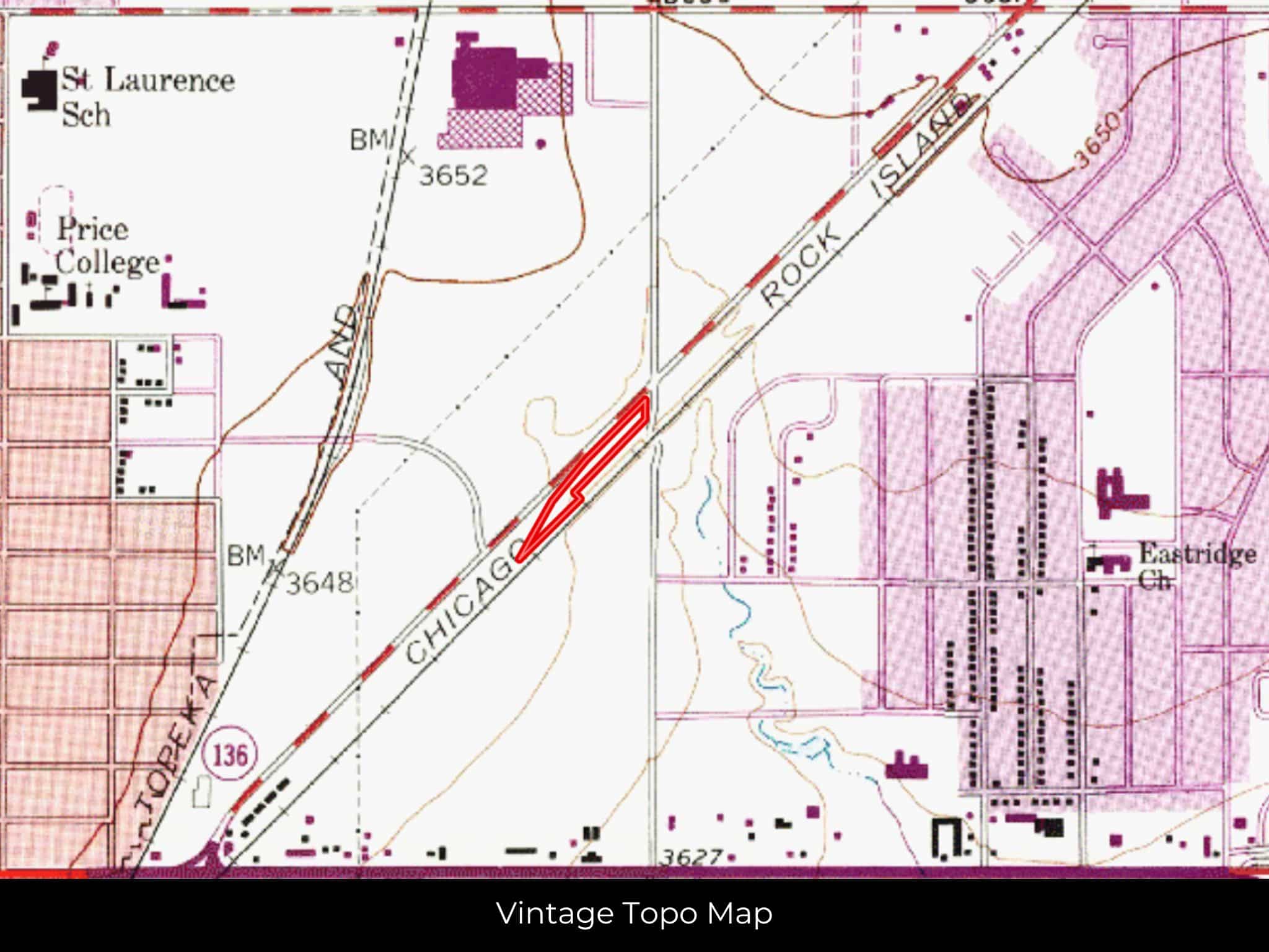
SECT 125 A B & M BLK 0002 IRREG TR BEG AT INTER OF S LINE OF HWY 136 & E/L OF SECT 2.
Zip Code
79107
Annual Property Taxes
$393.47
Ag Exemption
No
HOA
None
HOA per Year
N/A
Survey Available
Yes
School District
Amarillo Independent School District
Liens and Back Taxes
None!
Source Deed
Sent for Filing.
Title Status
Free & Clear!
Outgoing Conveyance
Warranty Deed
Property Features
Acres
2.40
Dimension
1211.46 feet X 94.06 feet
County
Potter County
Access
Yes
Power
Yes
Water
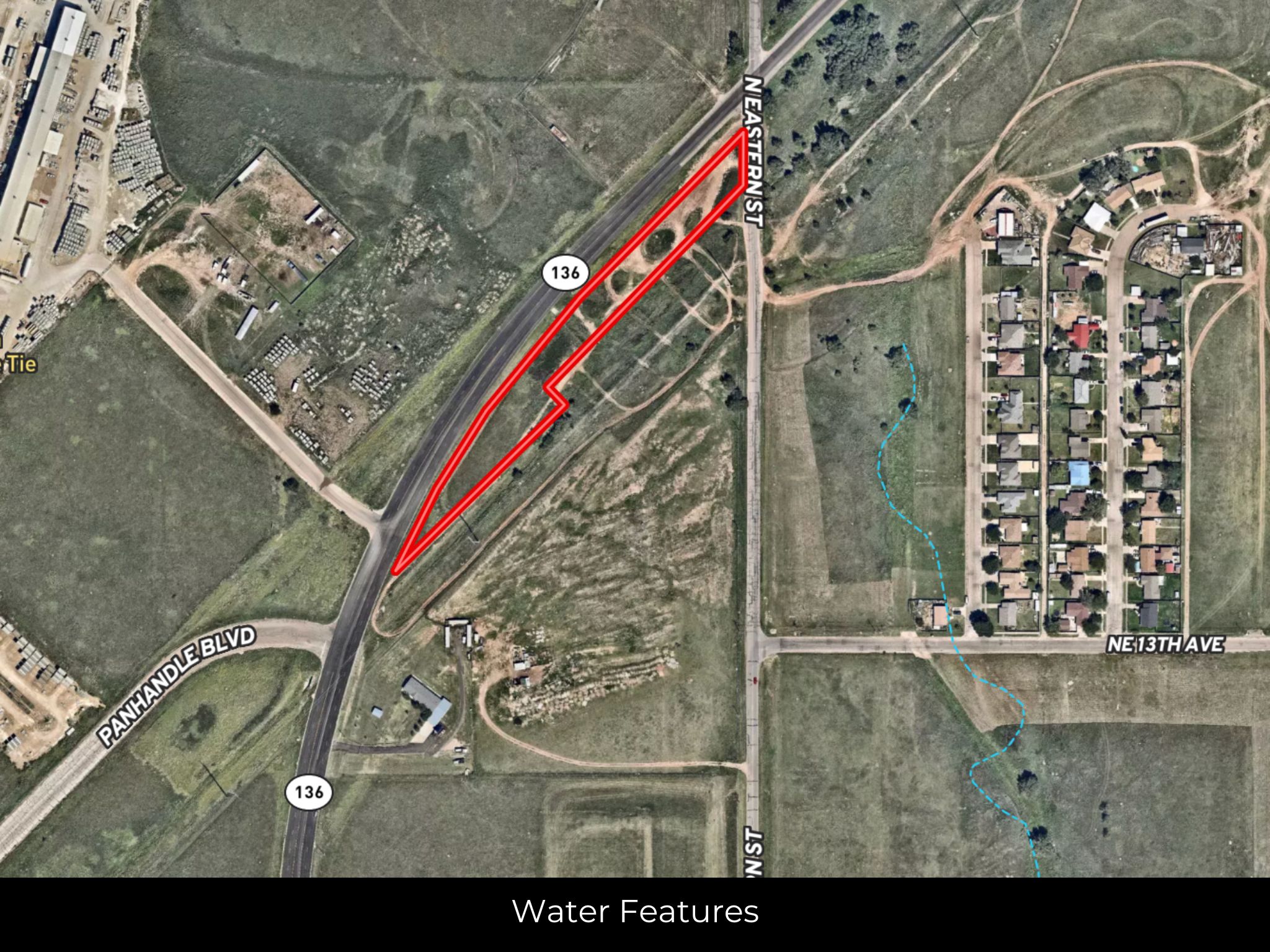
Yes
Coordinates
35.2288, -101.779
Zoning
Commercial
Elevation
3640 ft
Terrain
Flat
Floodplain
No
Duplexes
Yes
Mobiles
Yes
Tiny Homes
Yes
Barndominiums
No
RV's
Yes
Camping
Yes
Property Survey, HOA, & Additional Documents
Utilities
🔌 Power: Xcel energy or Solar, wind, propane, or alternative energy source.
💧 Water: City water available.
🚽 Sewer: Septic or alternative sewer system.
☎️ Phone: cellular, VOIP (see internet below), and satellite phone through Iridium, Globalstar, or Inmarsat.
🌐 Internet: satellite internet through Starlink, HughesNet, or ViaSat.
📺 Cable: satellite cable through Dish or DirectTV.
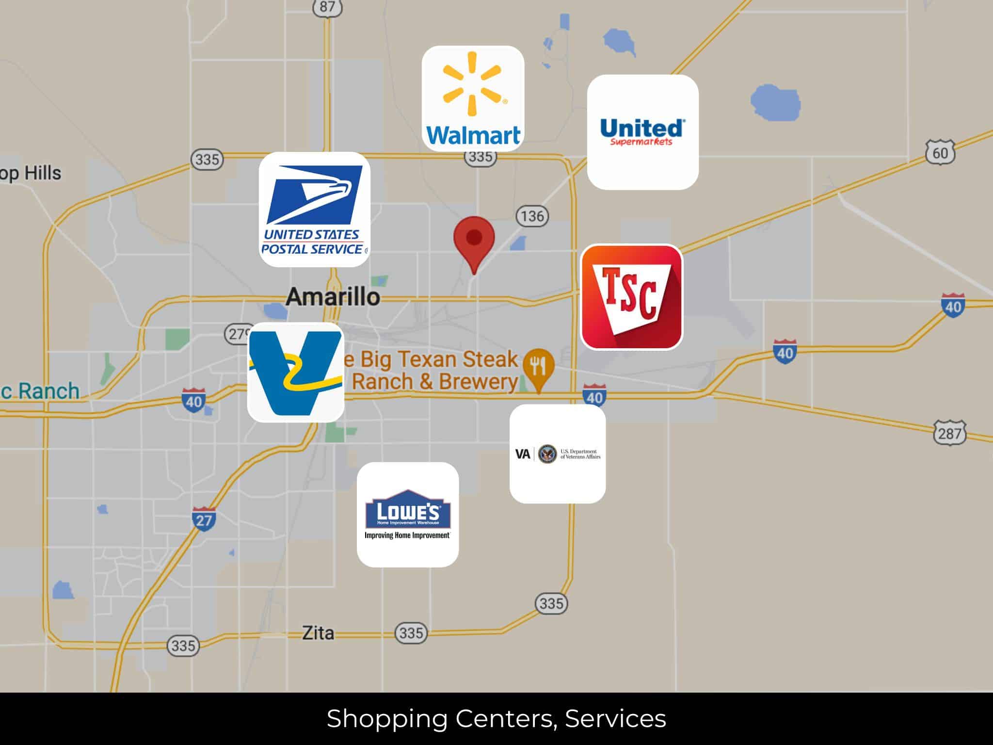
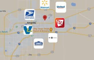
Nearby Cities, Conveniences, and Attractions
4 min (1.6 miles) to Valero, Amarillo TX (about)
4 min (1.6 miles) to United States Postal Service, Amarillo TX (about)
6 min (2.5 miles) to United Supermarkets, Amarillo TX (about)
10 min (3.5 miles) to Amarillo Texas (about)
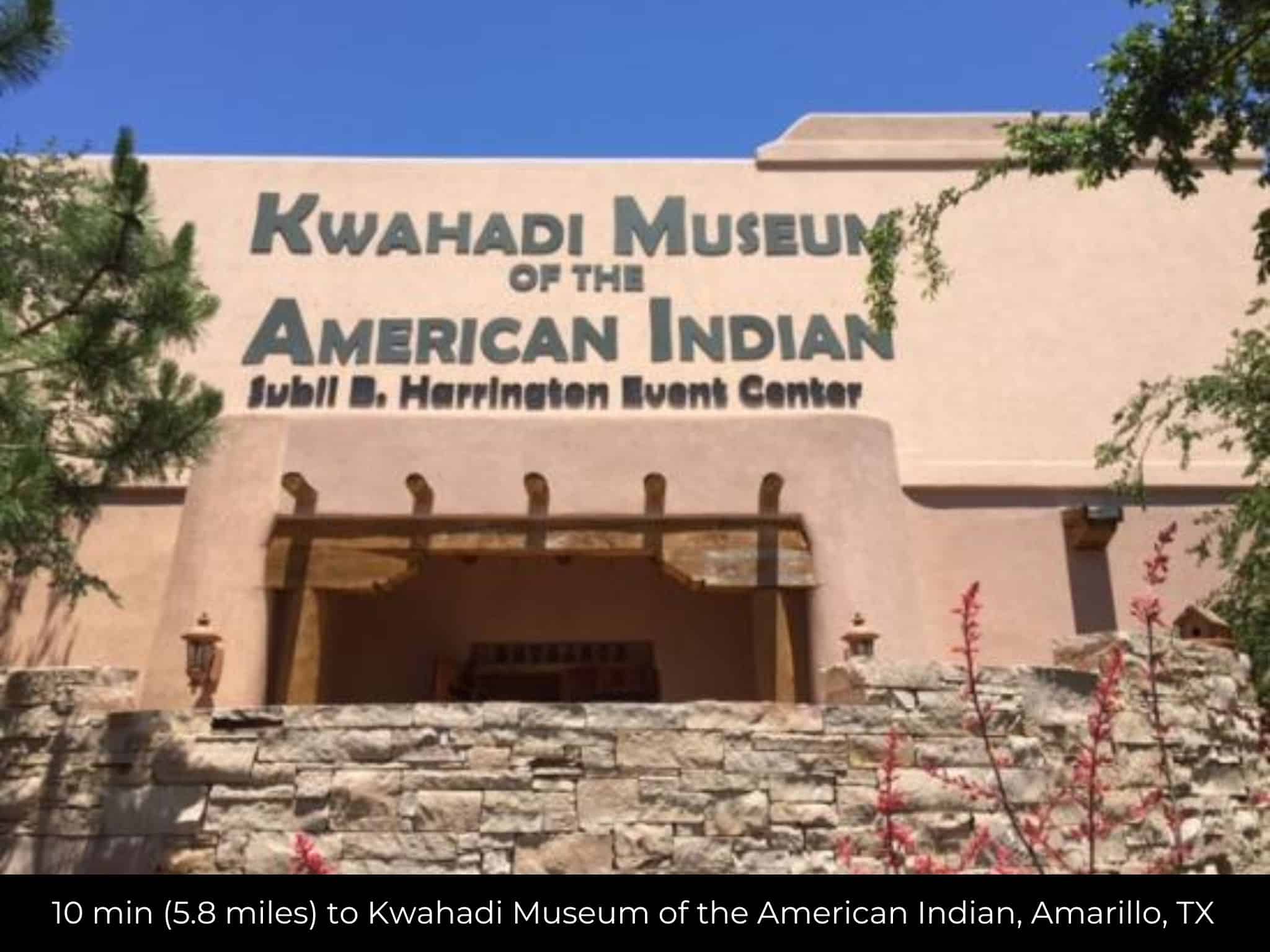
10 min (5.8 miles) to Kwahadi Museum of the American Indian, Amarillo, TX (about)
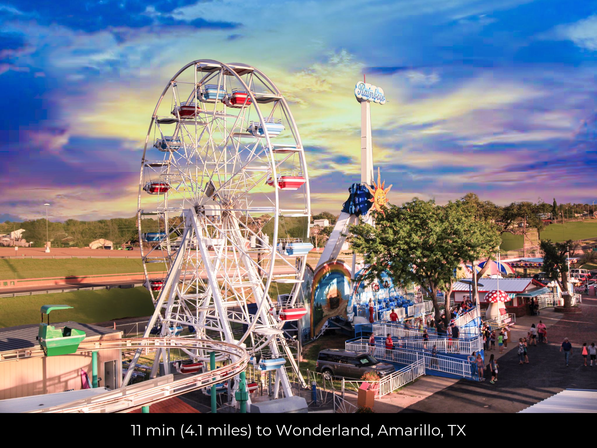
11 min (4.1 miles) to Wonderland, Amarillo, TX (about)
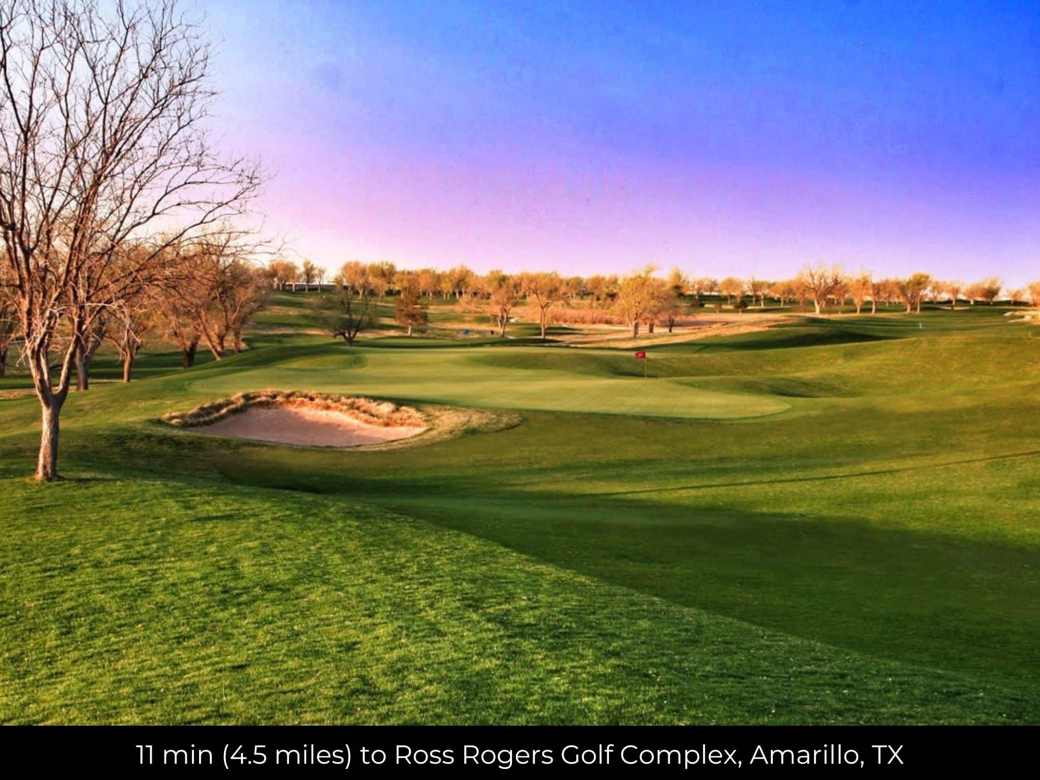
11 min (4.5 miles) to Ross Rogers Golf Complex, Amarillo, TX (about)
14 min (9.1 miles) Walmart Supercenter, Amarillo TX (about)
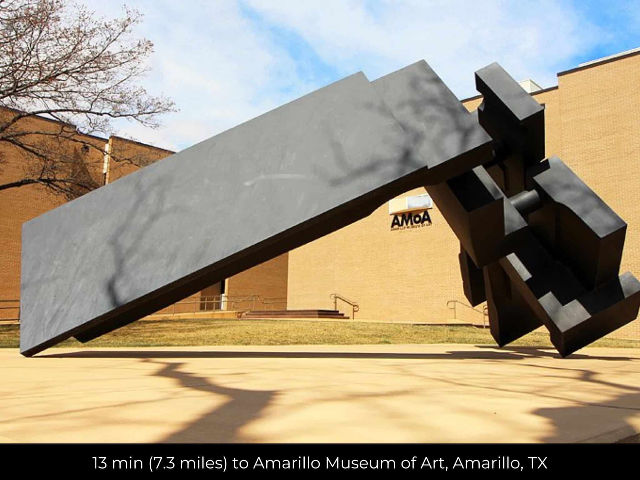
13 min (7.3 miles) to Amarillo Museum of Art, Amarillo, TX (about)
15 min (7.9 miles) to Tractor Supply Co., Amarillo, TX (about)
16 min (8.2 miles)n to Lowe's Home Improvement, Amarillo, TX (about)
16 min (8.4 miles) to Amarillo VA Health care System, Amarillo TX (about)
19 min (14.7 miles) to Cadillac Ranch, Amarillo , TX (about)
22 min (18.0 miles) to Jack Sisemore RV Museum, Amarillo, TX (about)
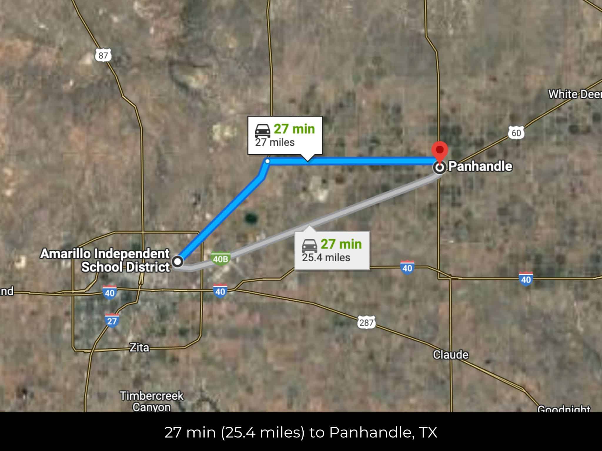
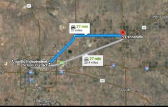
26 min (25.4 miles) to Panhandle, TX (about)
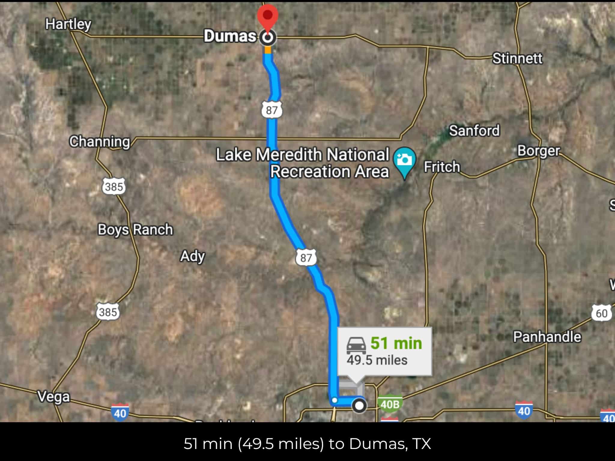
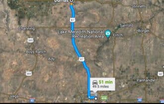
49 min (49.5 miles) to Dumas TX (about)
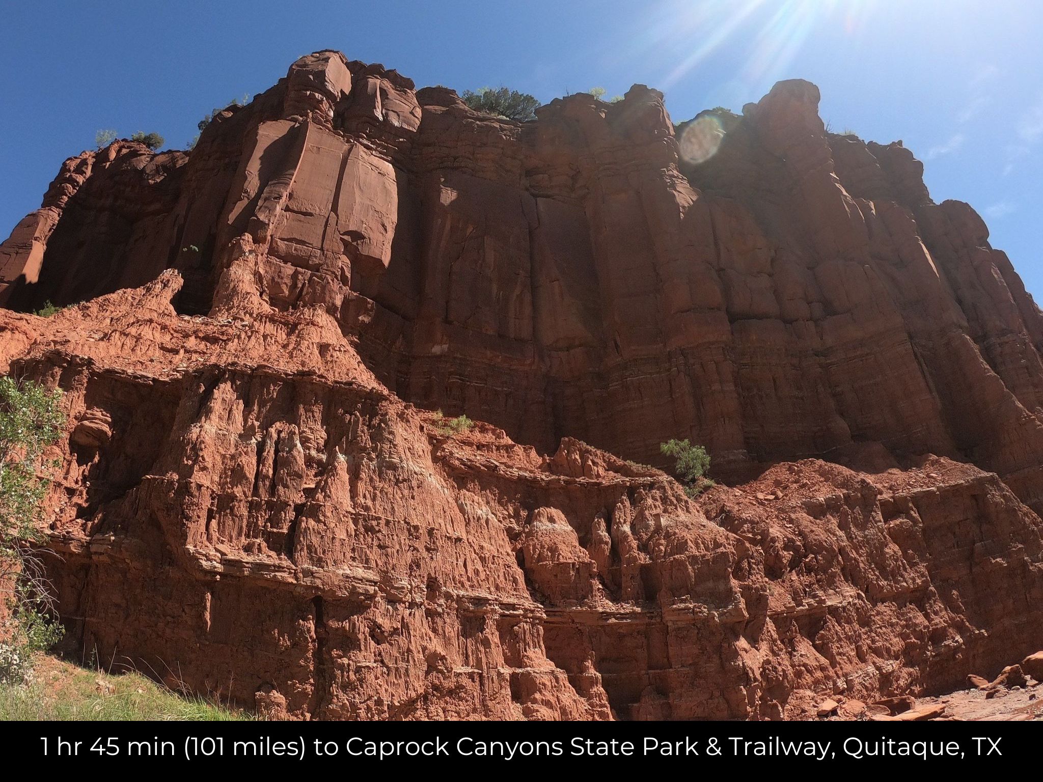
1 hr 45 min (101 miles) to Caprock Canyons State Park & Trailway, Quitaque, TX (about)
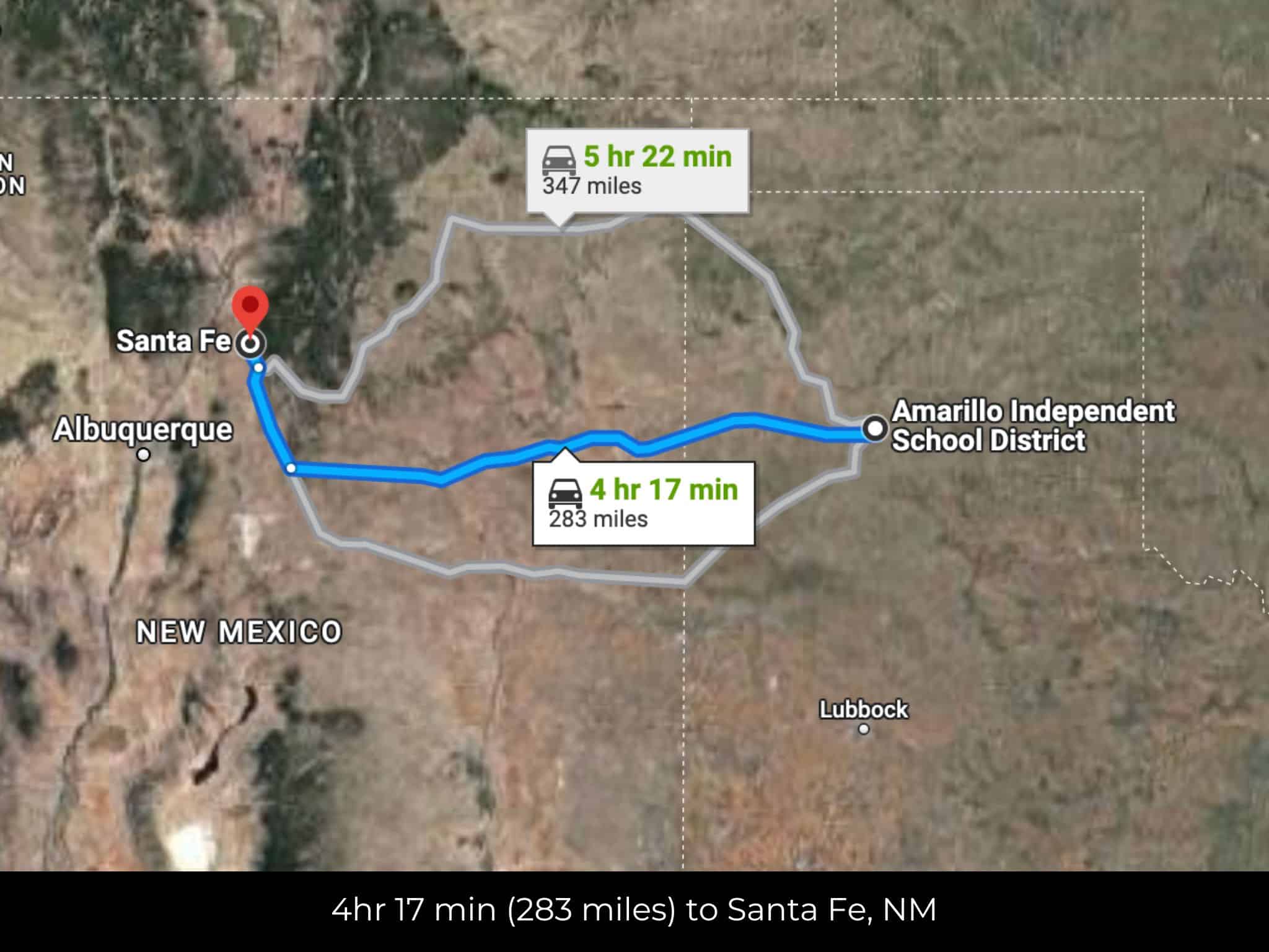
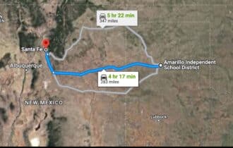
4 hr 16 min (283 miles) to Santa Fe, New Mexico (about)
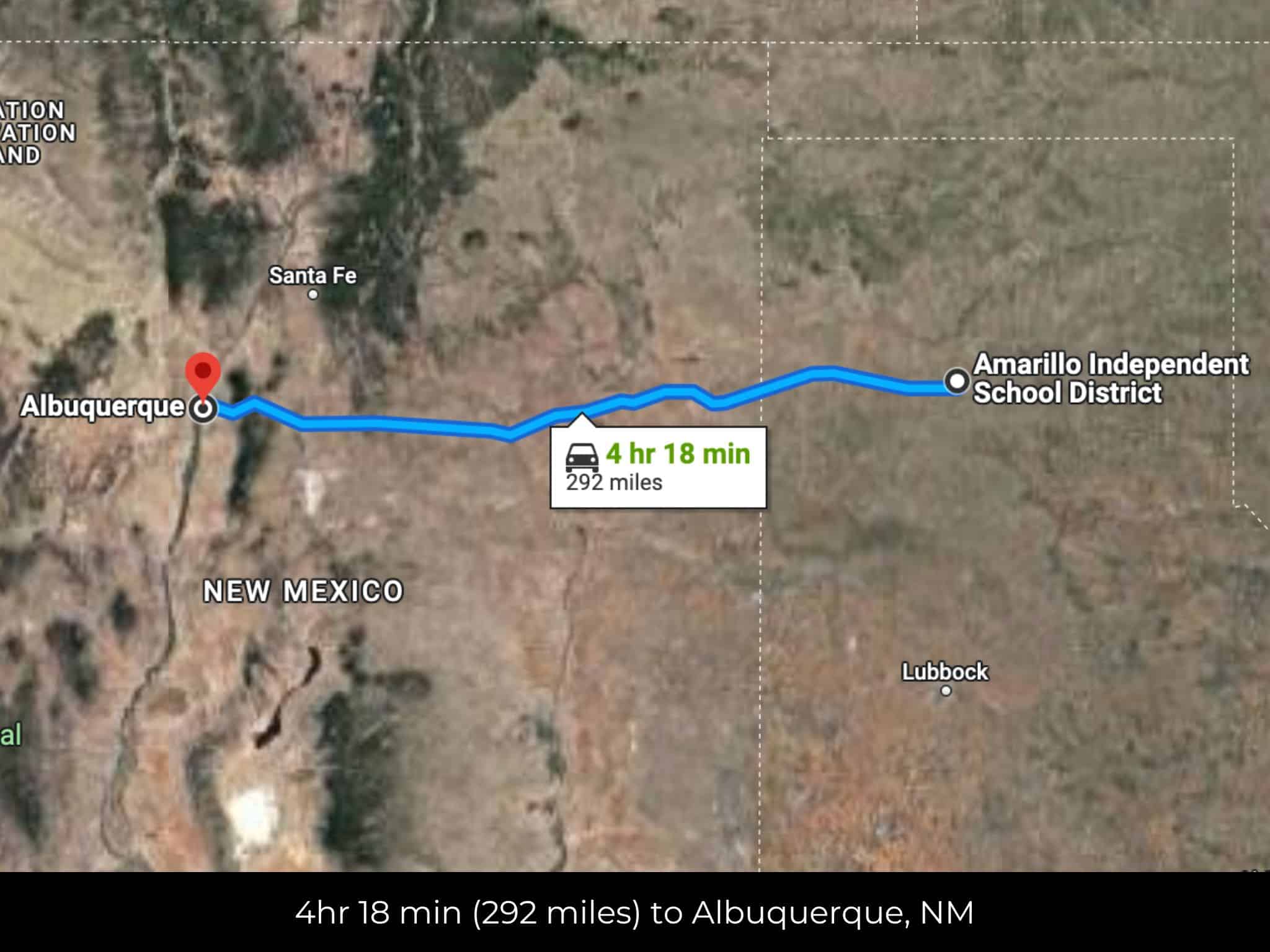
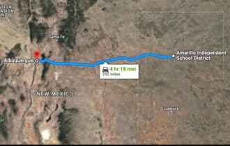
4 hr 17 min (292 miles) to Albuquerque, New Mexico (about)
County Contacts
Potter County Assessor Sherri Aylor (806) 342-2600 (website)
Potter County Treasurer Leann Jennings (806) 349-4834 (website)
Potter County Clerk Julie Smith (806) 379-2275 (website)
Potter County Zoning Cris Valverde (806)378-6290 (website)
Potter County Health (806) 378-3000 (website)
Potter County CAD (website)
Potter County GIS (website)
Closing Costs and Fees
$299
Document Prep Fee
Buyer will pay a $299 document preparation fee, which includes all postage and county recording fees. Seller will warrant title to the property.
$0
In-House Closing Fee
There will be no additional fees or expenses for an in-house closing. We will close in 14 days or less. This is the fastest, easiest, and cheapest way to close.
$1,500+
Title Company Fees*
Title Company costs are typically 2-5% of the purchase price with a minimum fee of around $1,500. Many states have legislated, standard insurance rates and other fees vary by the title company.
* If Buyer elects to close through a third-party title company, Buyer will bear all closing costs and expenses, including Seller’s title policy and Seller's escrow fees. Closing through a title company typically takes 30-45 days, depending on the county, title company, and transaction activity in the area.
Driving Directions and GPS Coordinates
🚗 Driving Directions: Head southwest on TX-136 S/Panhandle Blvd toward Holly St Continue to follow TX-136 S 0.5 mi, Turn right onto E Amarillo Blvd/U.S. Rt. 66 , Pass by Braum's Ice Cream & Dairy Store (on the right in 2.5 mi)2.9 mi, Make a U-turn at N Taylor St
📍 Northwest Corner: 35.23, -101.7778 (Google Map)
📍 Northeast Corner: 35.2297, -101.7778 (Google Map)
📍 Southeast Corner: 35.2283, -101.7792 (Google Map)
📍 Southwest Corner: 35.2274, -101.7804 (Google Map)
📍 Center Point: 35.2288, -101.779 (See embedded Google Map below 👇.)
Google Map
If you click the blue Directions link below, 👇 you can get Google turn-by-turn directions to the property on any device. The map coordinates for the Google Map below are for the approximate center of the property and not the entrance, gate, or primary access point for the property. Google Maps may provide driving directions that require the use of private or abandoned roads or may require you to go through gates located on private property. Do not trespass on private property! Some properties will require a 4-wheel drive vehicle or may be inaccessible in certain weather conditions. Please don't get stuck or lost.
Additional Notes
As-Is and As-Available: This property is being sold property “as-is” and “as-available.” No representations as to fitness for a particular purpose have been made. No verbal claims or promises have been made. Please see our Terms of Service for more information.
Contract: After making your initial deposit, we will email you the purchase and sale agreement, which includes a warranty deed. Agreements are prepared manually and will be sent out Monday through Friday between 9 AM and 5 PM CST. Thank you for your patience.
No Monthly Payments: We are not offering seller financing on this property. This is an all-cash transaction. We are not offering a payment plan. If you would like to finance your purchase of the property, please contact a third-party lender prior to making your deposit. We will not sign a purchase and sale agreement that is contingent upon third-party financing without a pre-approval letter.
3% Buyer's Agent Commission: You are not required to have an agent or broker assist you with purchasing this property. However, if the Buyer does use an agent, and the Seller is made aware of this prior to an agreement on price or signed contract, the Seller will pay a 3% commission to the Buyer's licensed agent or broker.
Maps and GPS Coordinates: Maps and GPS coordinates are believed to be accurate, but accuracy is not guaranteed. The information contained in the maps should not be considered a “legal description,” and the maps and GPS coordinates are not a replacement for a survey. We have taken reasonable steps to ensure that parcel lines, maps, and coordinates are in fact accurate, but third-party geographical information system (GIS) providers, including information from the county, often contain errors and inaccuracies.