


SOLD:Hunting Hideaway or Dream Ranch on 638.33 Acres
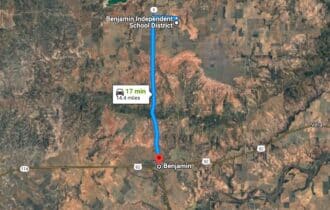
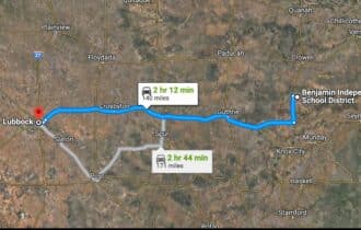
16 min (14.4 miles) to Benjamin, TX (178)
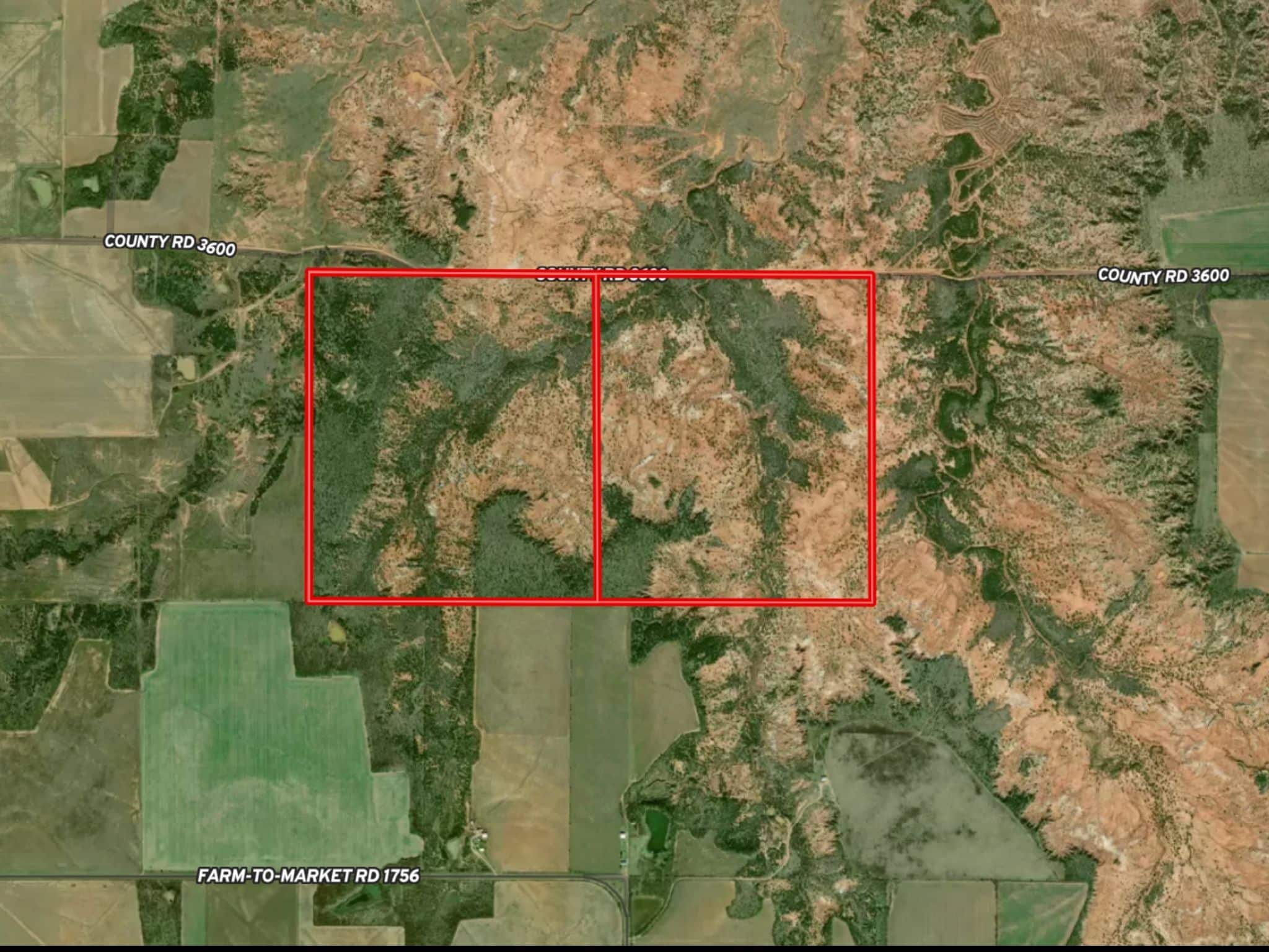
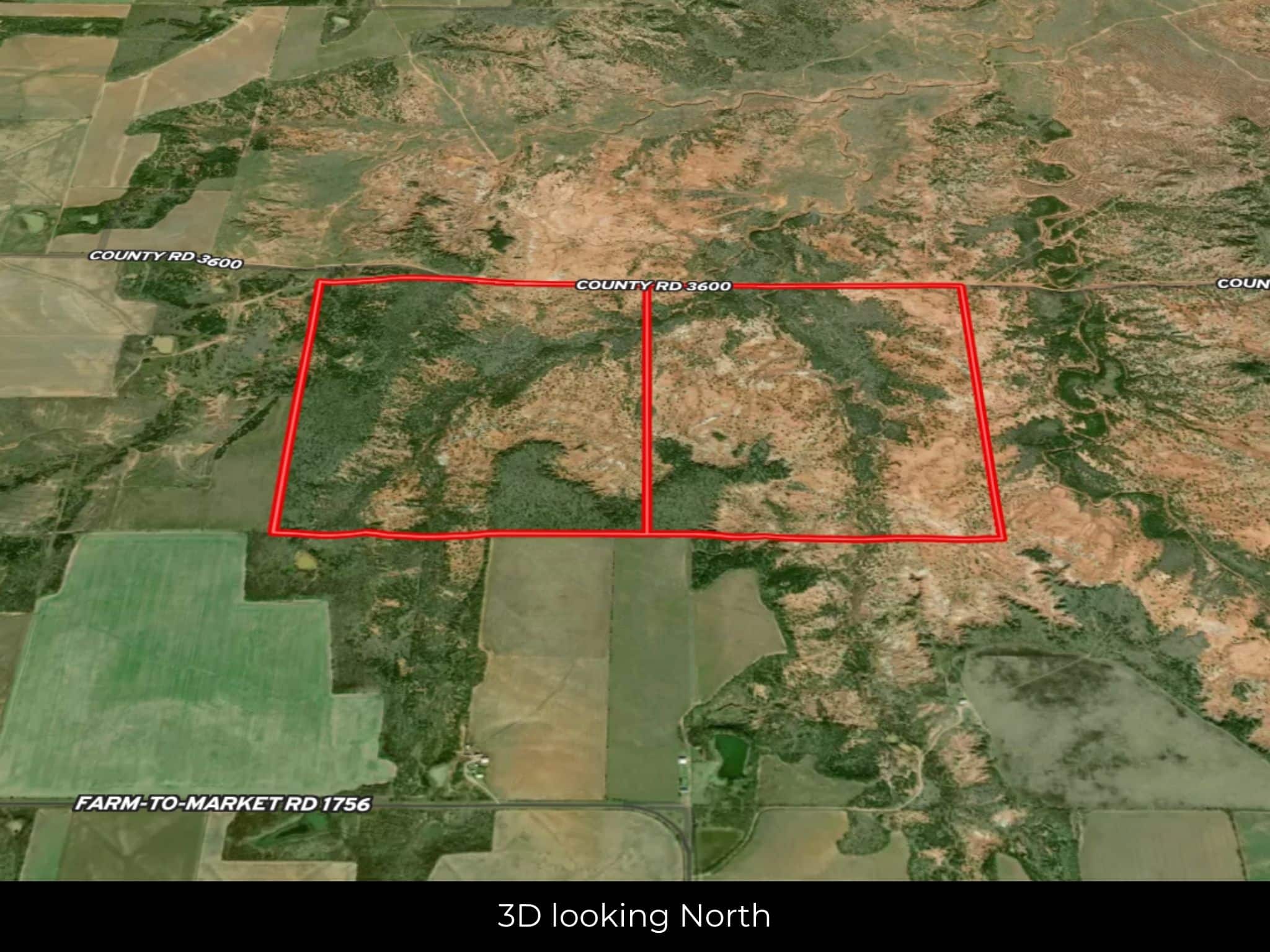
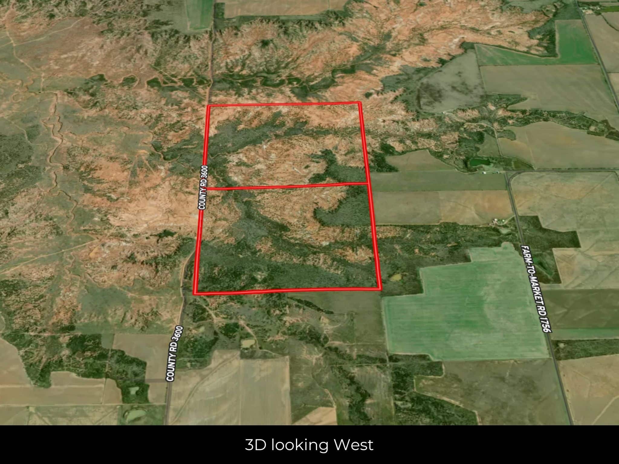
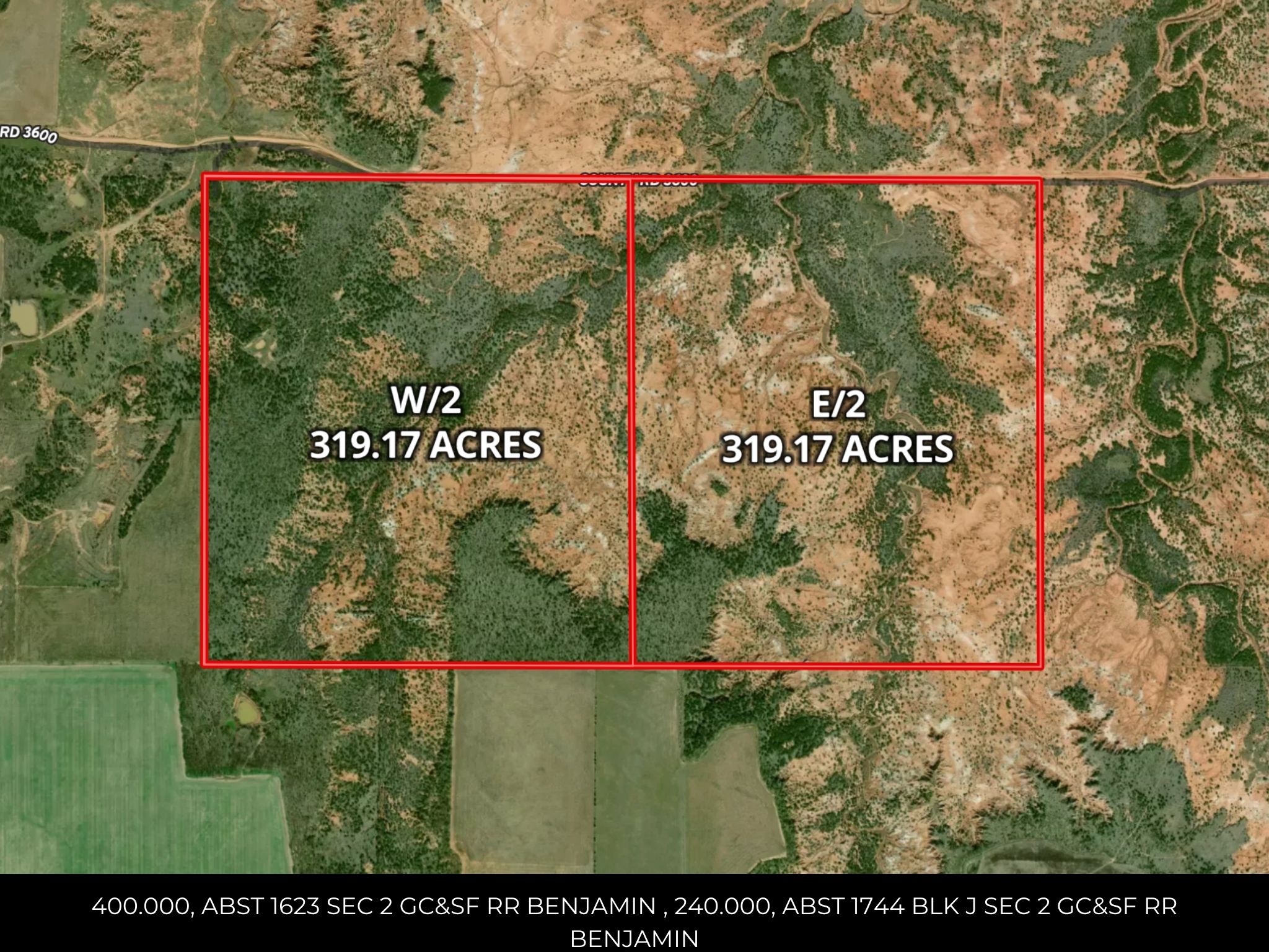
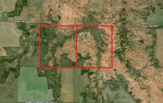
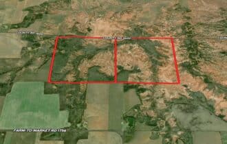
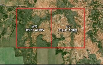
APN# R000005633 & R000005634
Payment
Payment Notes:
Warranty of Title: The property will be conveyed via a general warranty deed, guaranteeing you free and clear title to the property.
We accept Cash or 3rd party financing with a pre-approval letter.
We do not offer owner financing. No payment options are available for this property.
Paying a 3% Buyer's Agent Commission!
Property Description
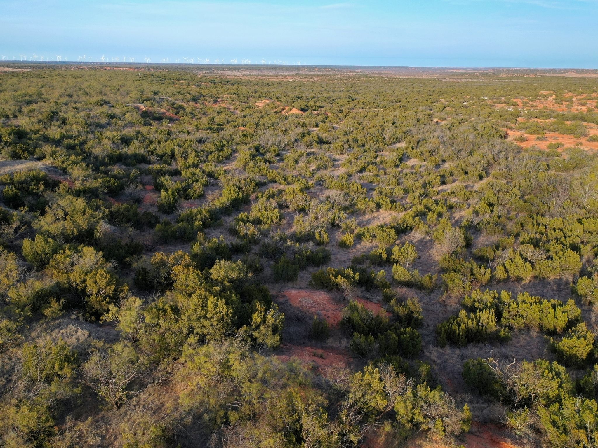
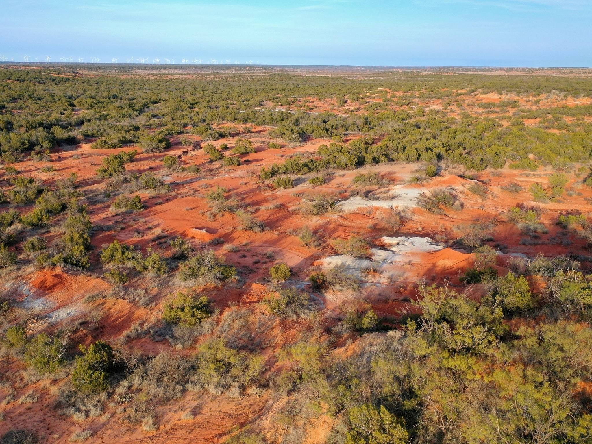
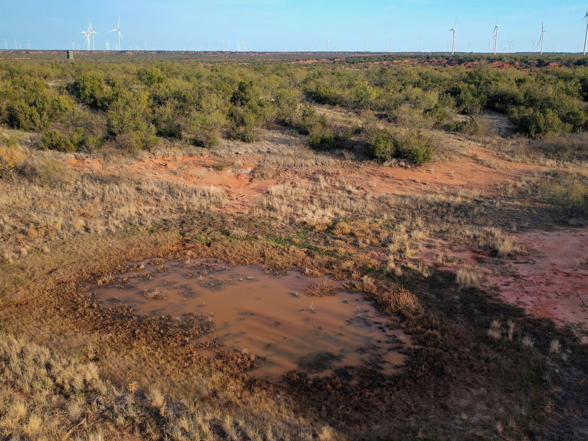
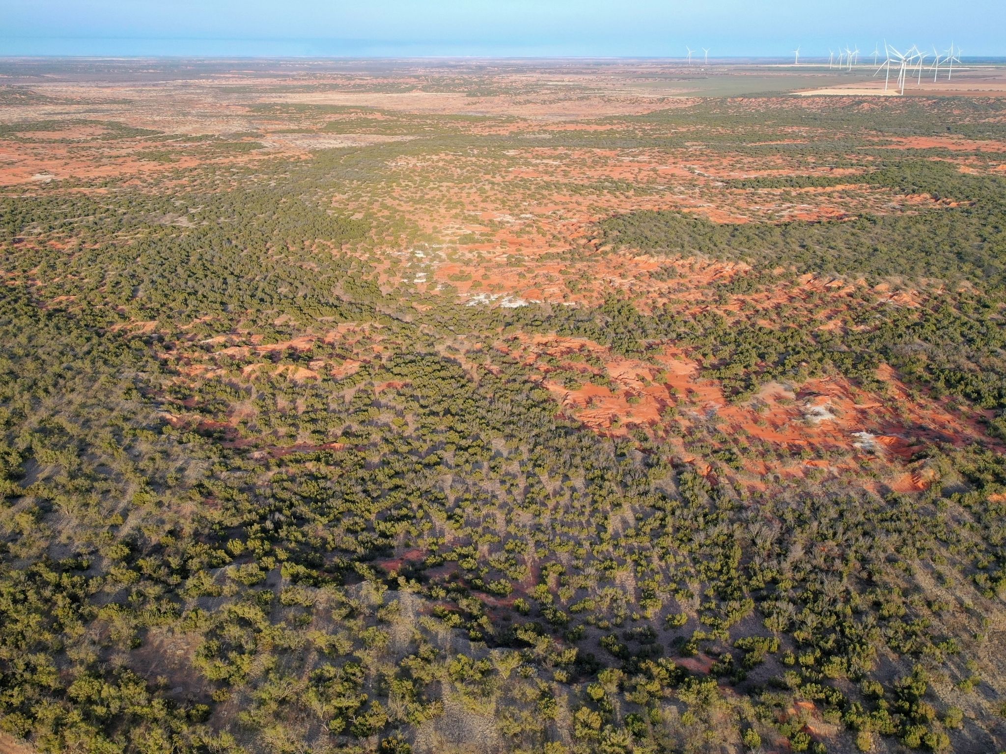
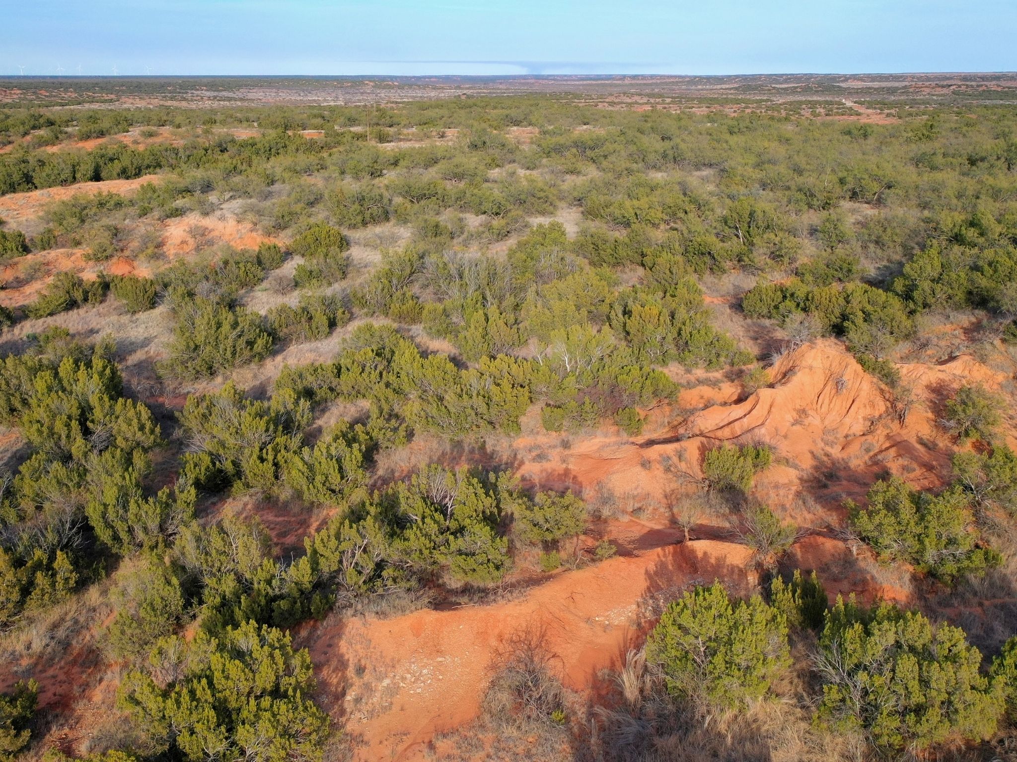
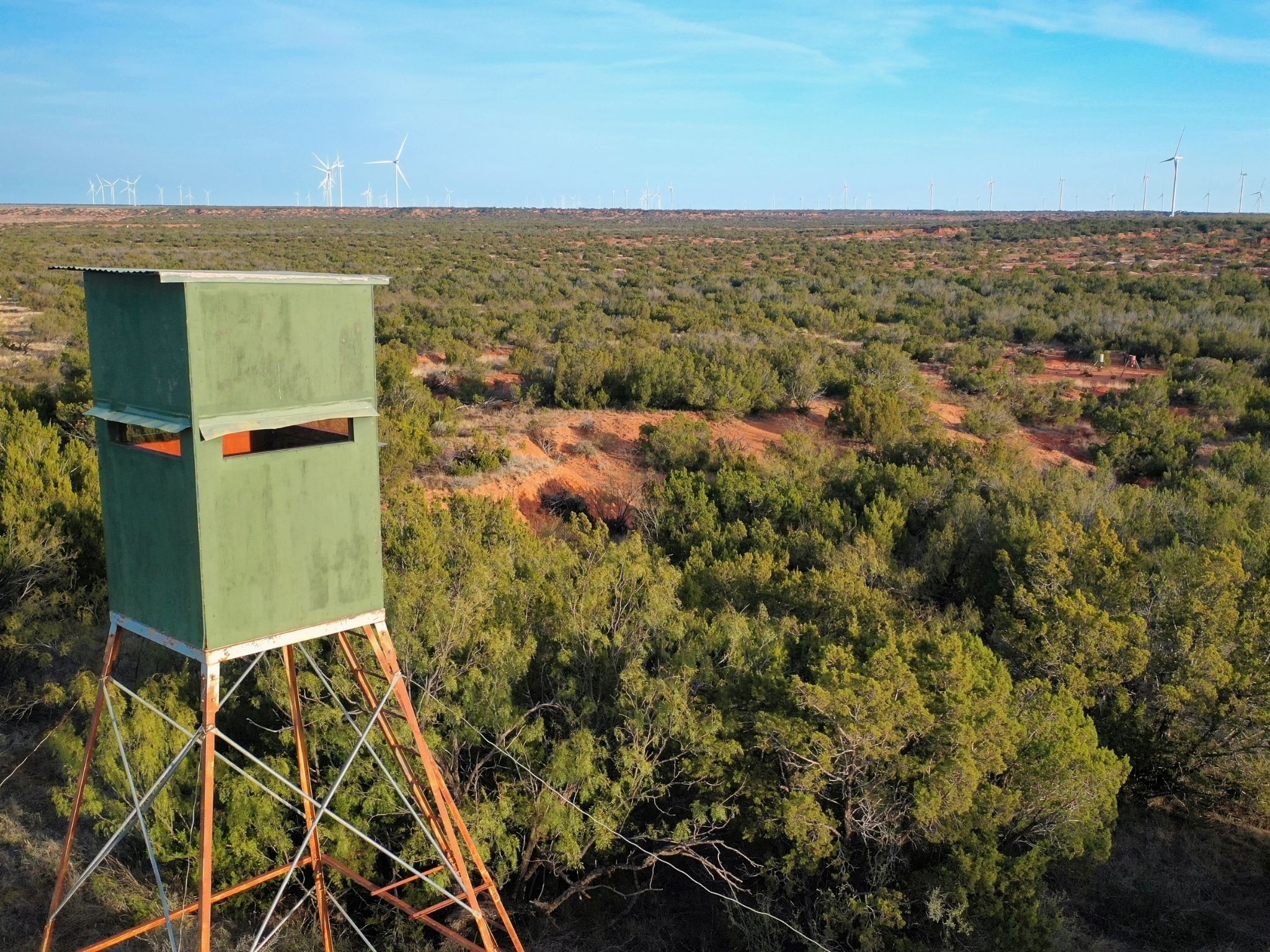
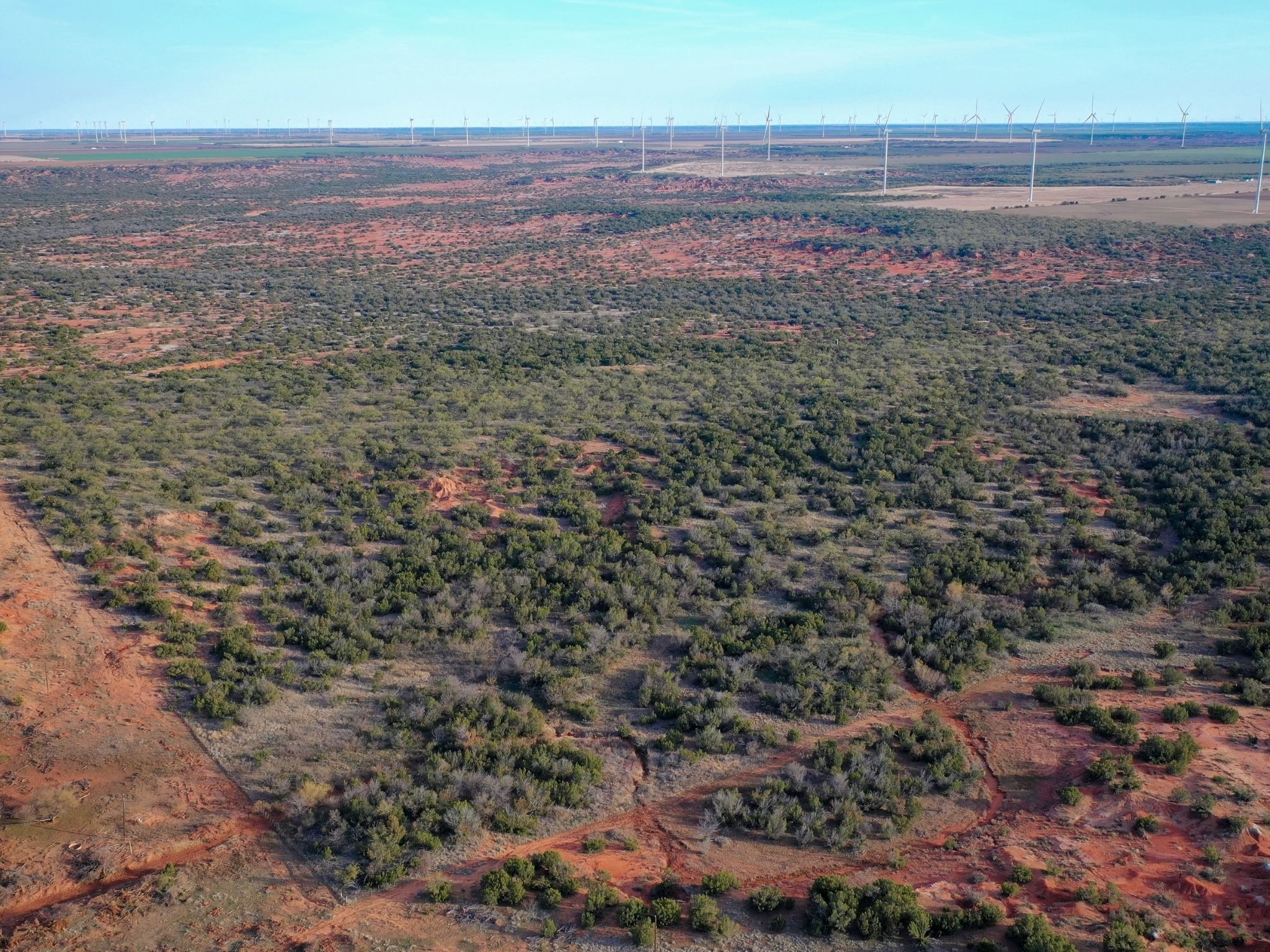
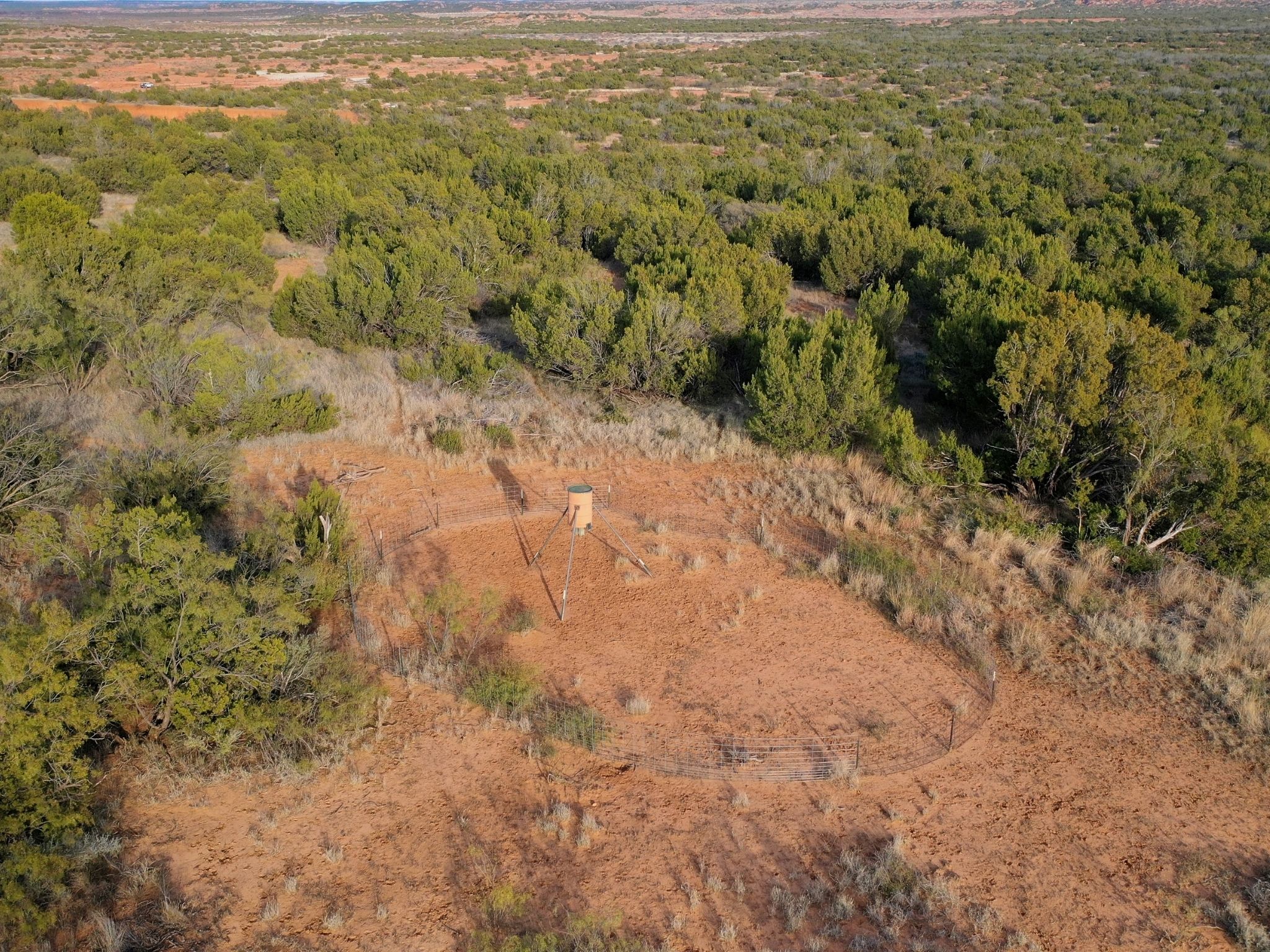
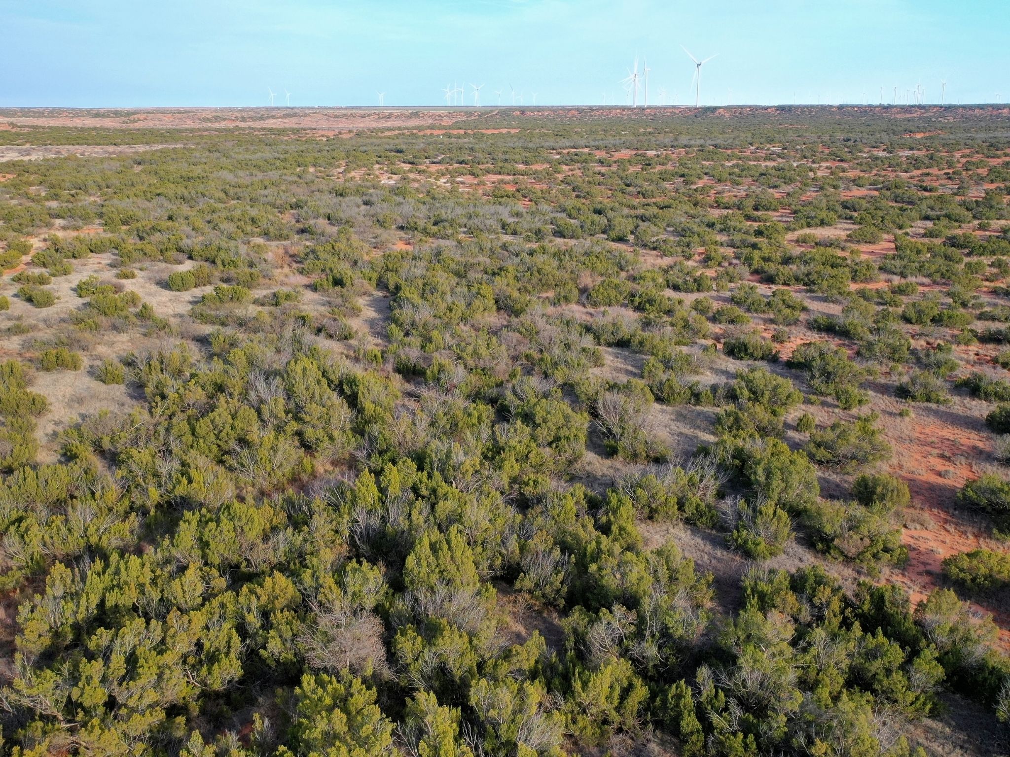
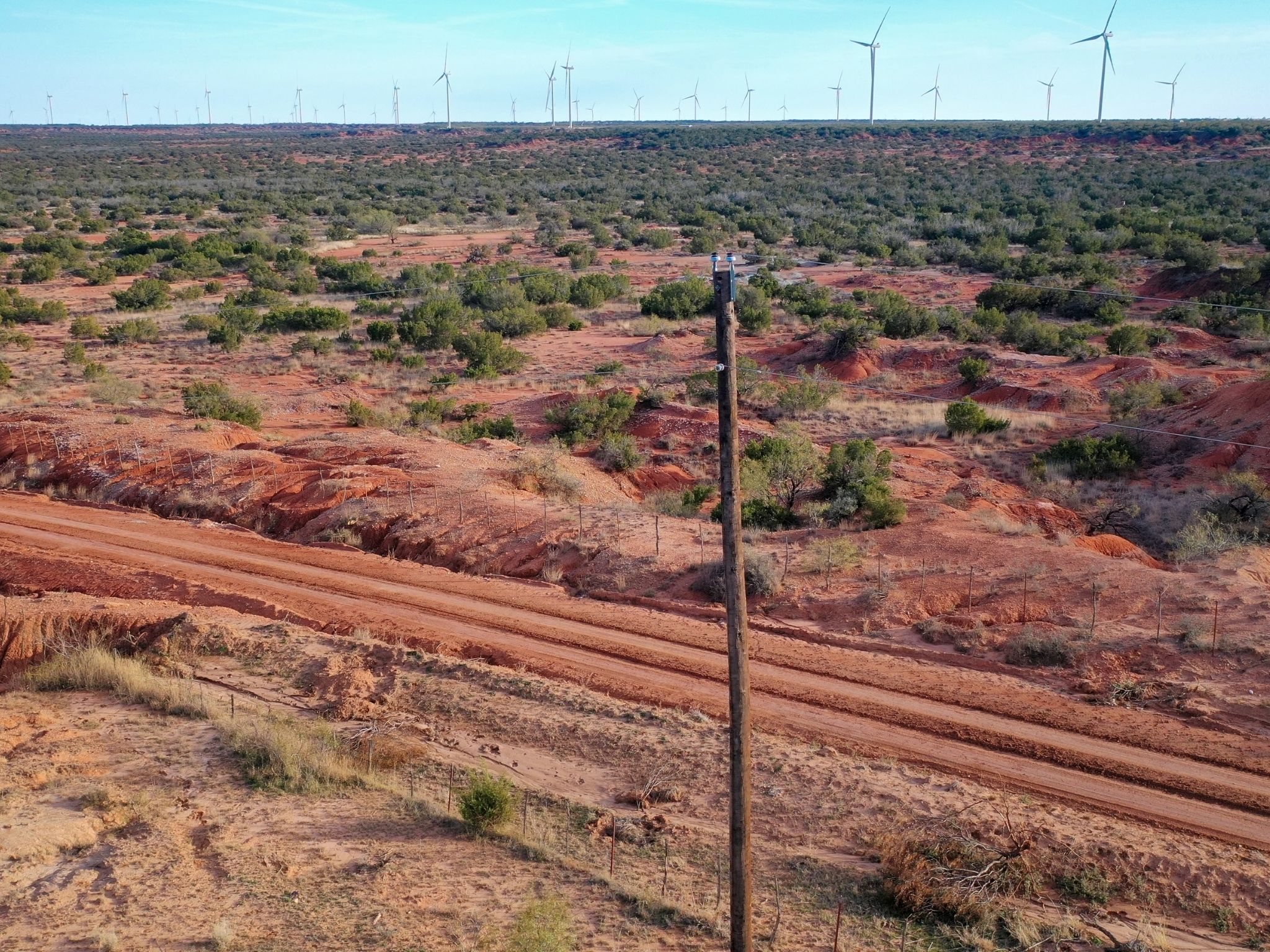
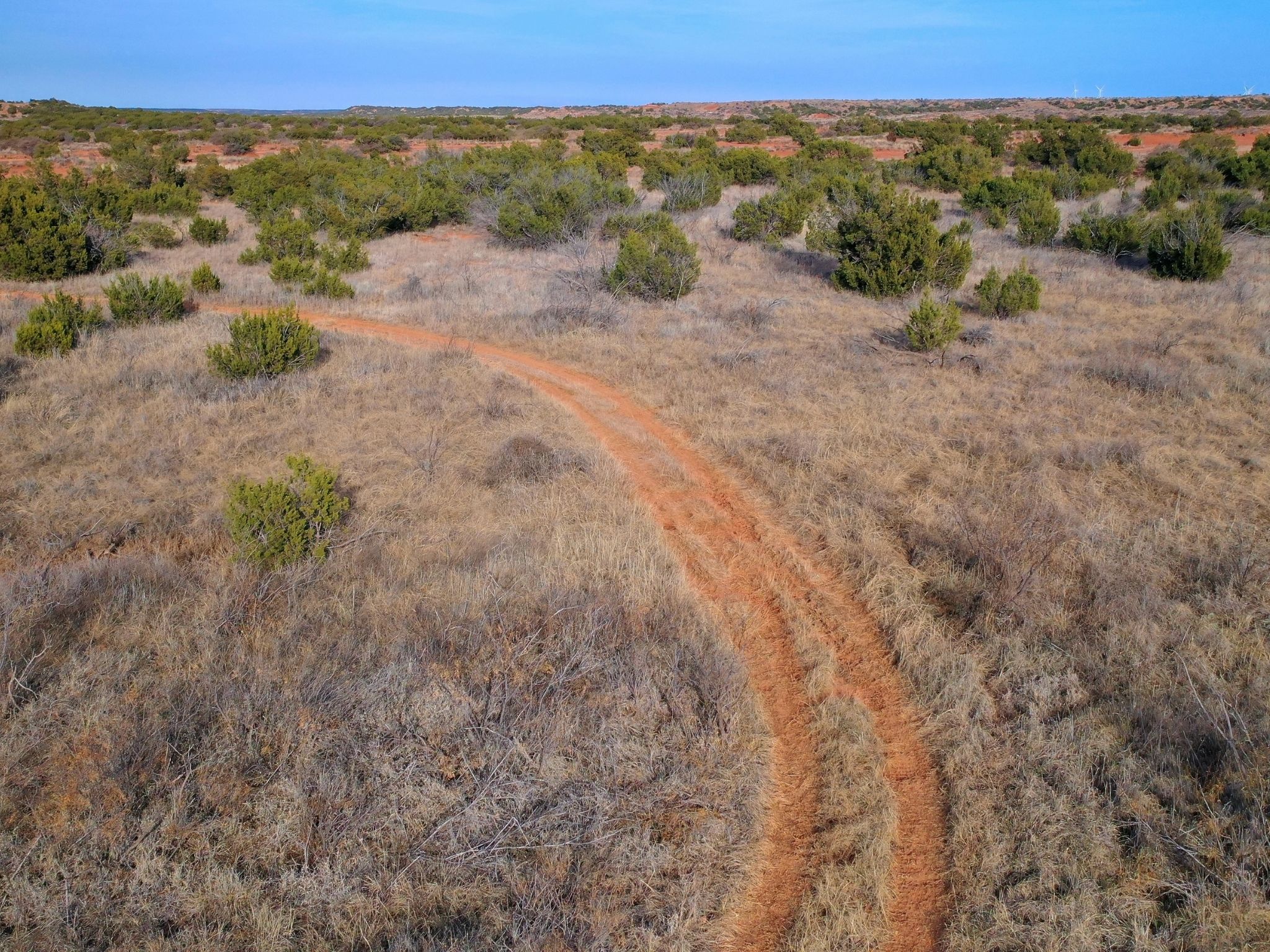
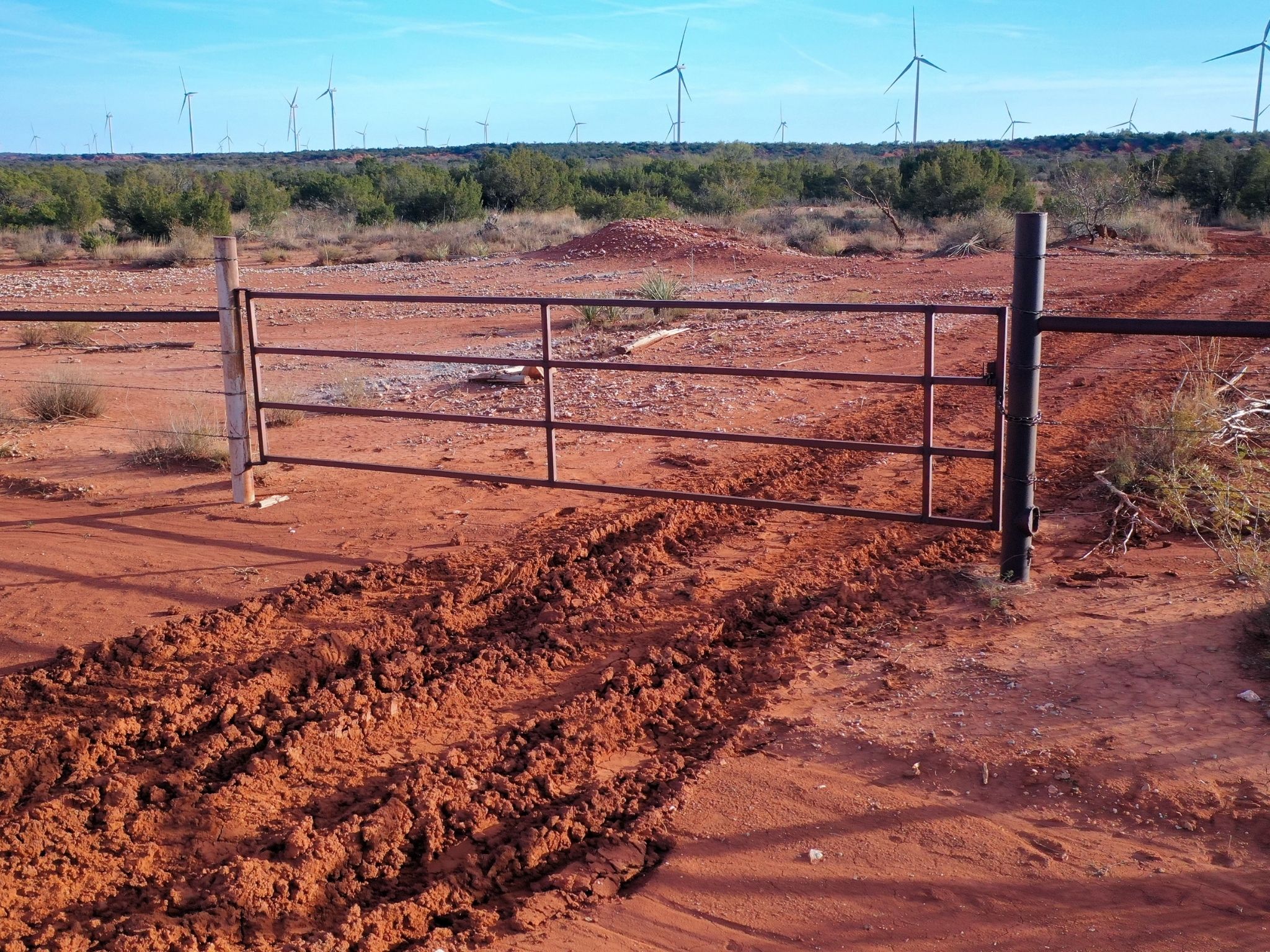
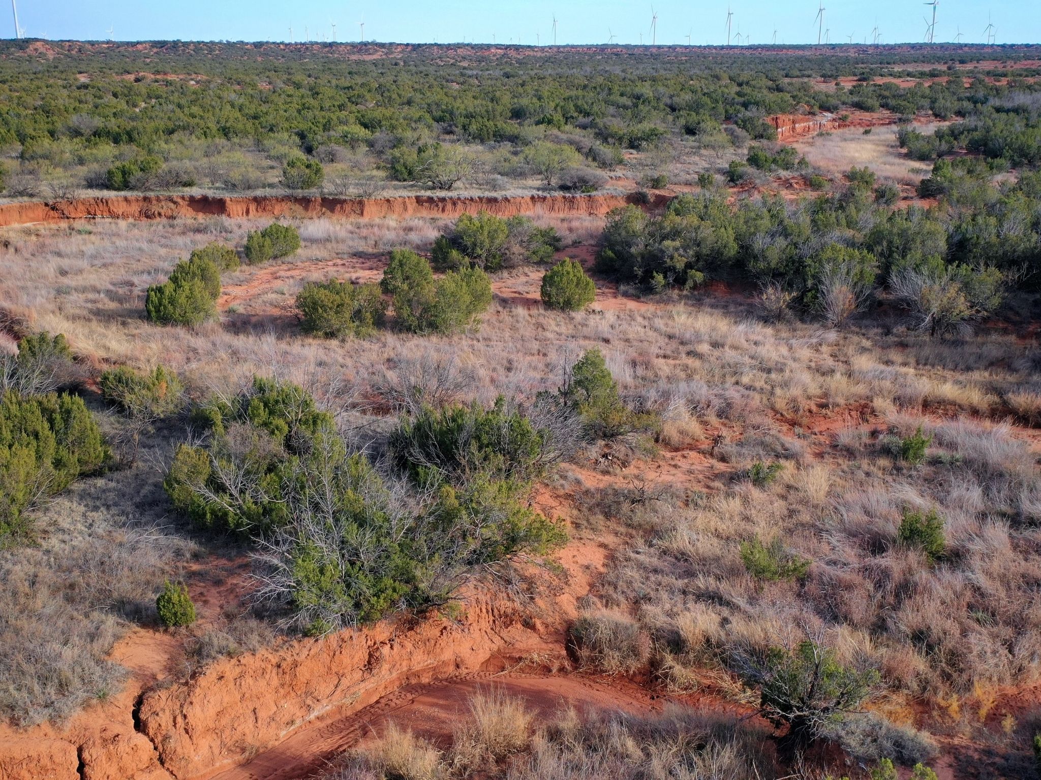
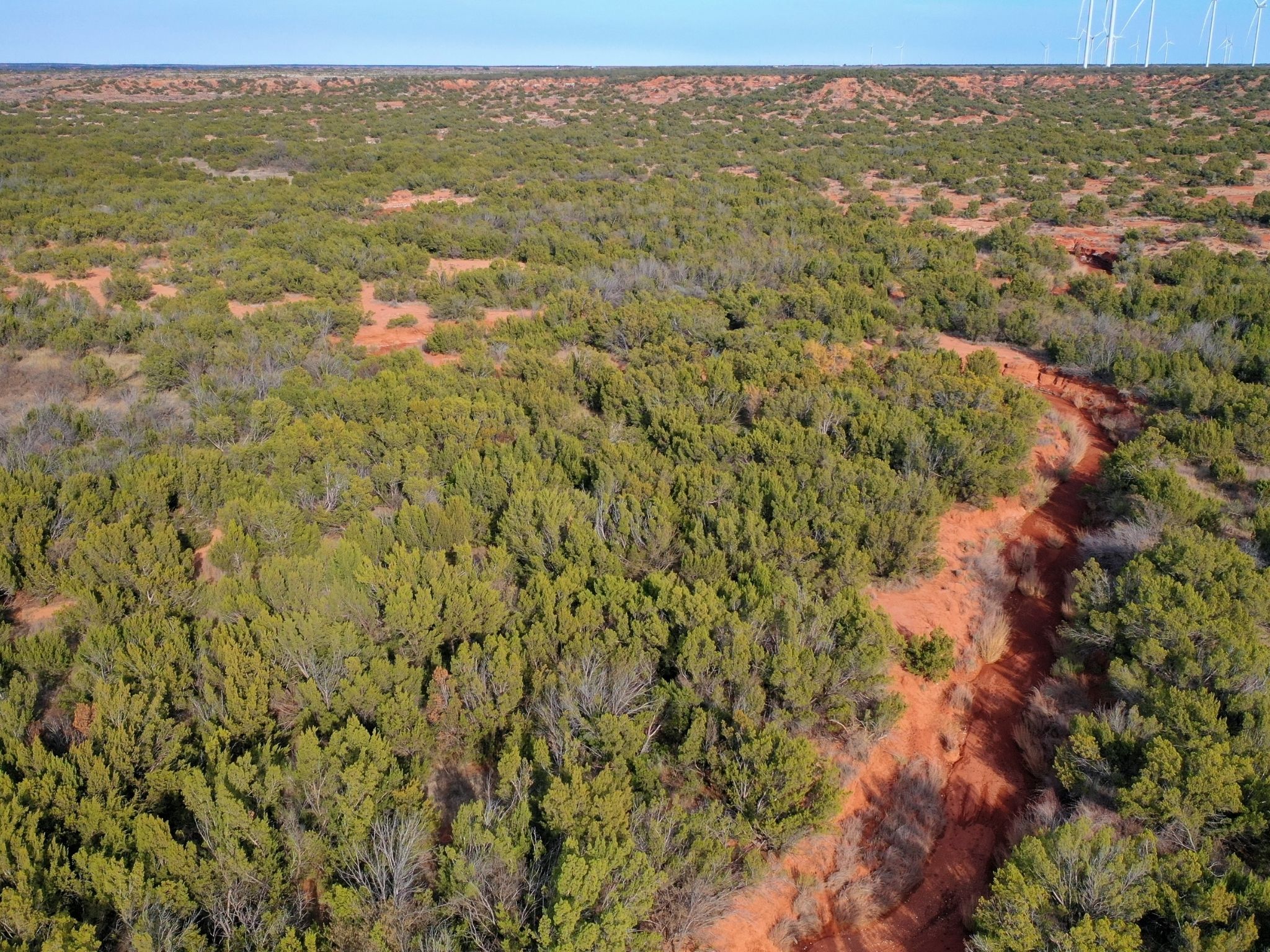
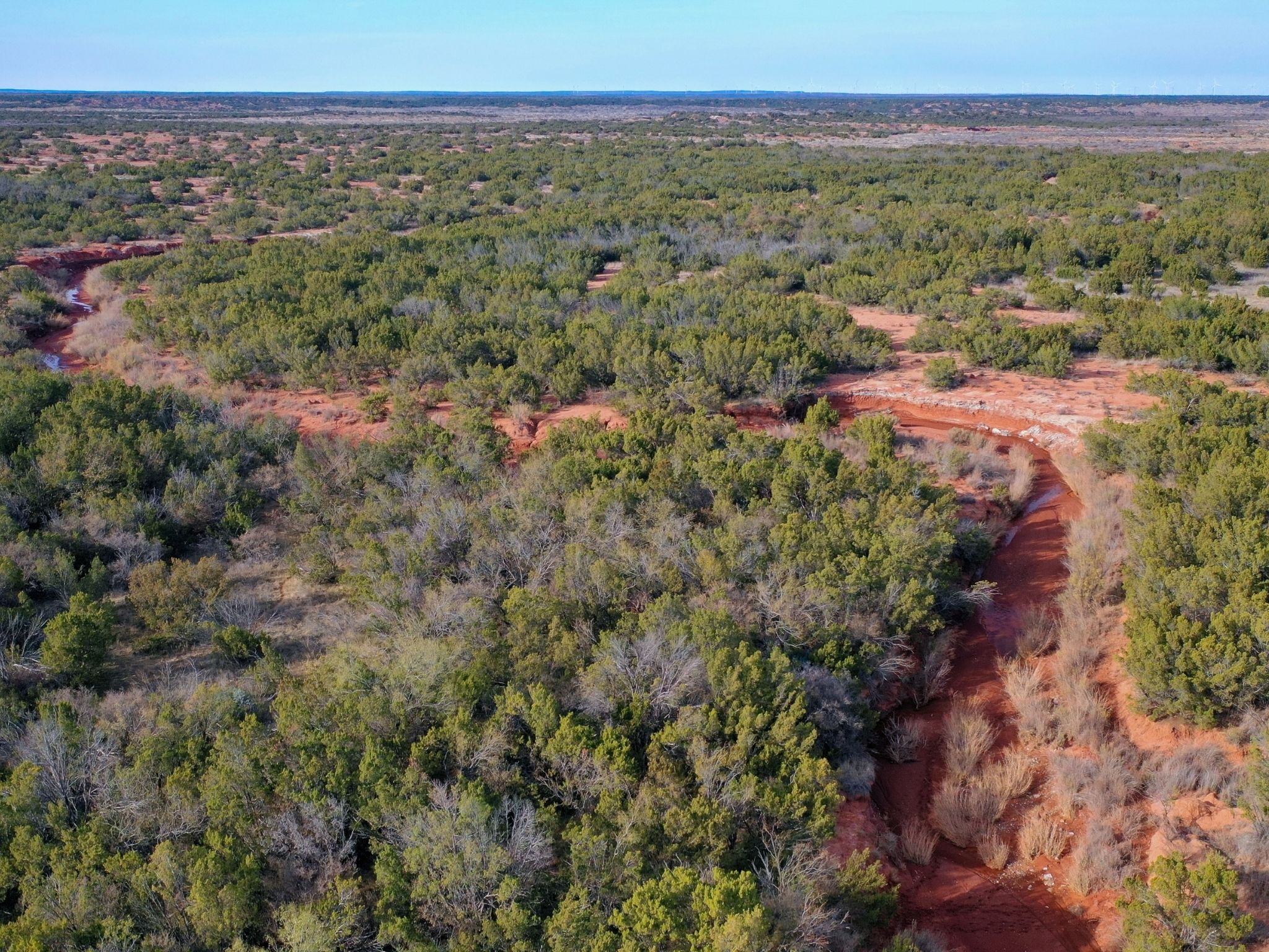
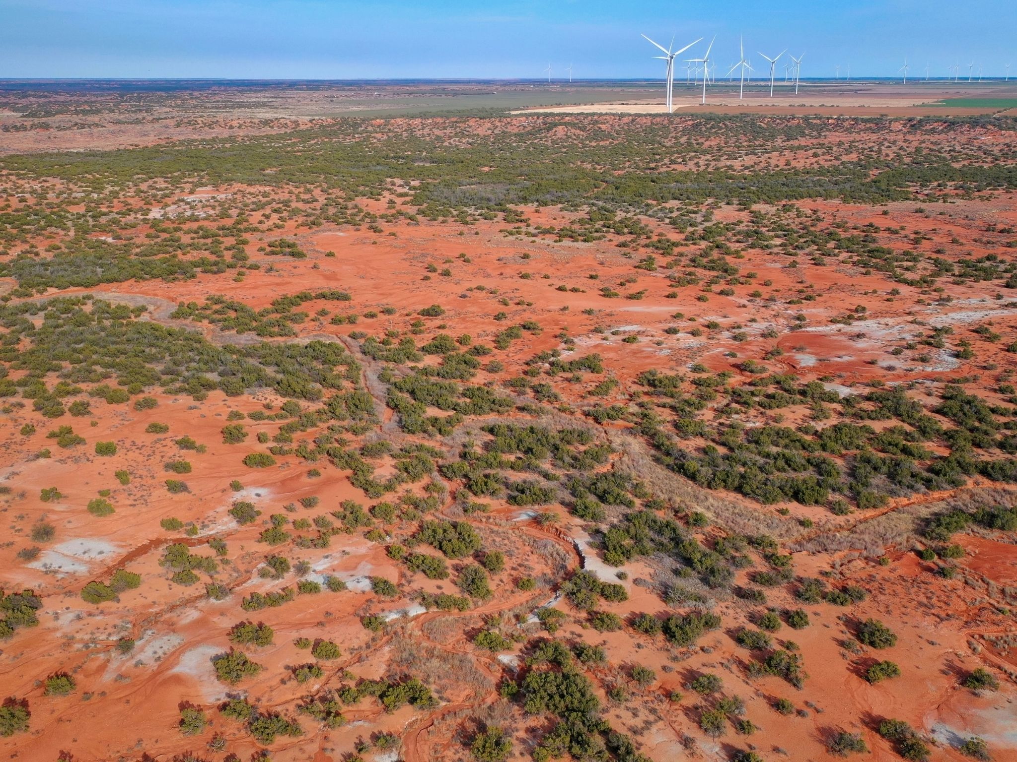
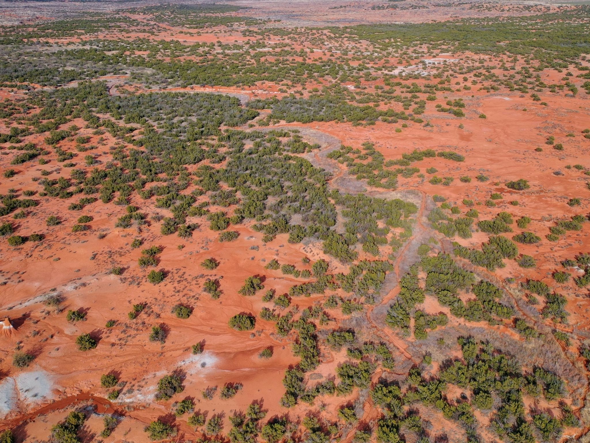
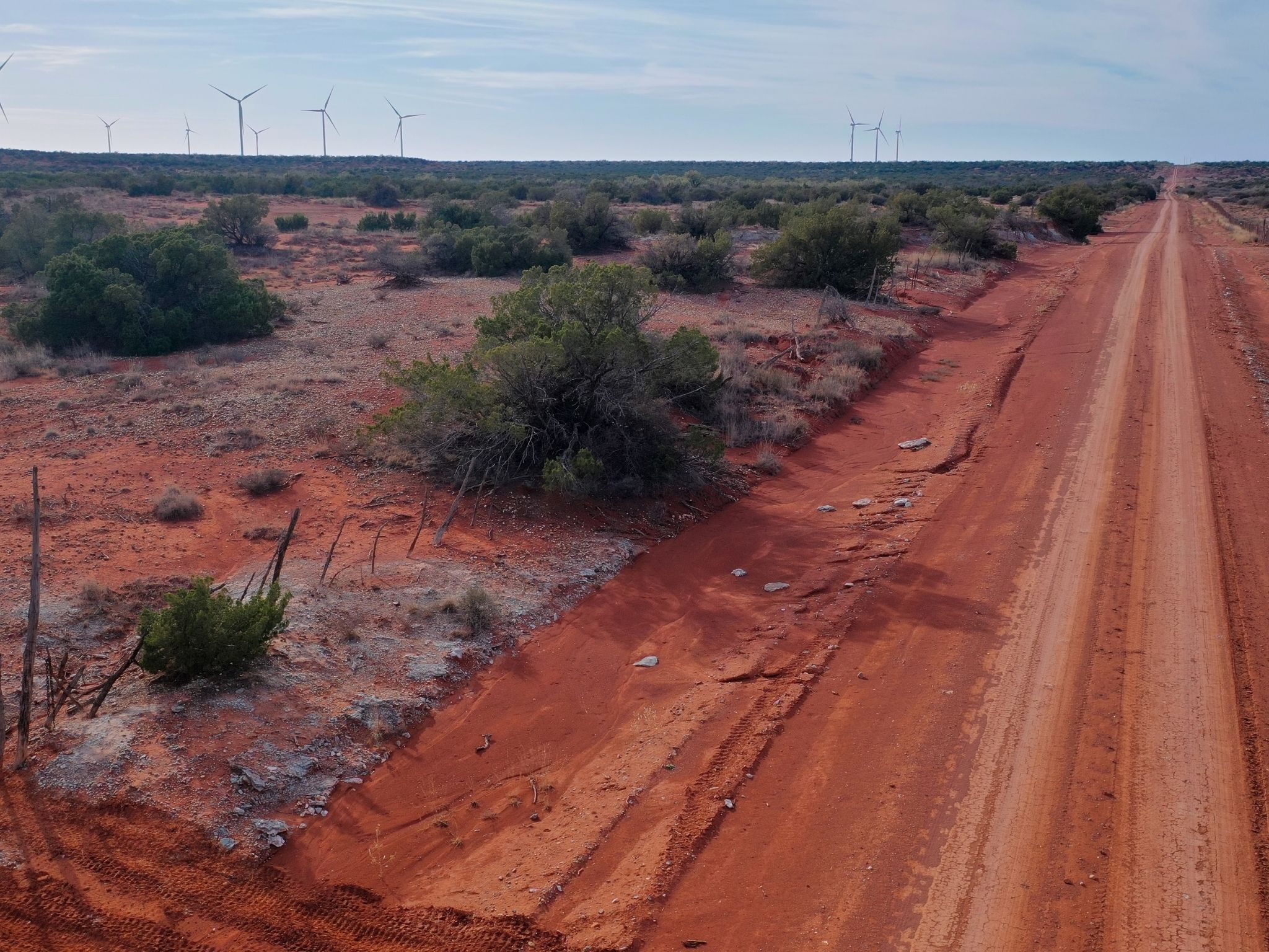
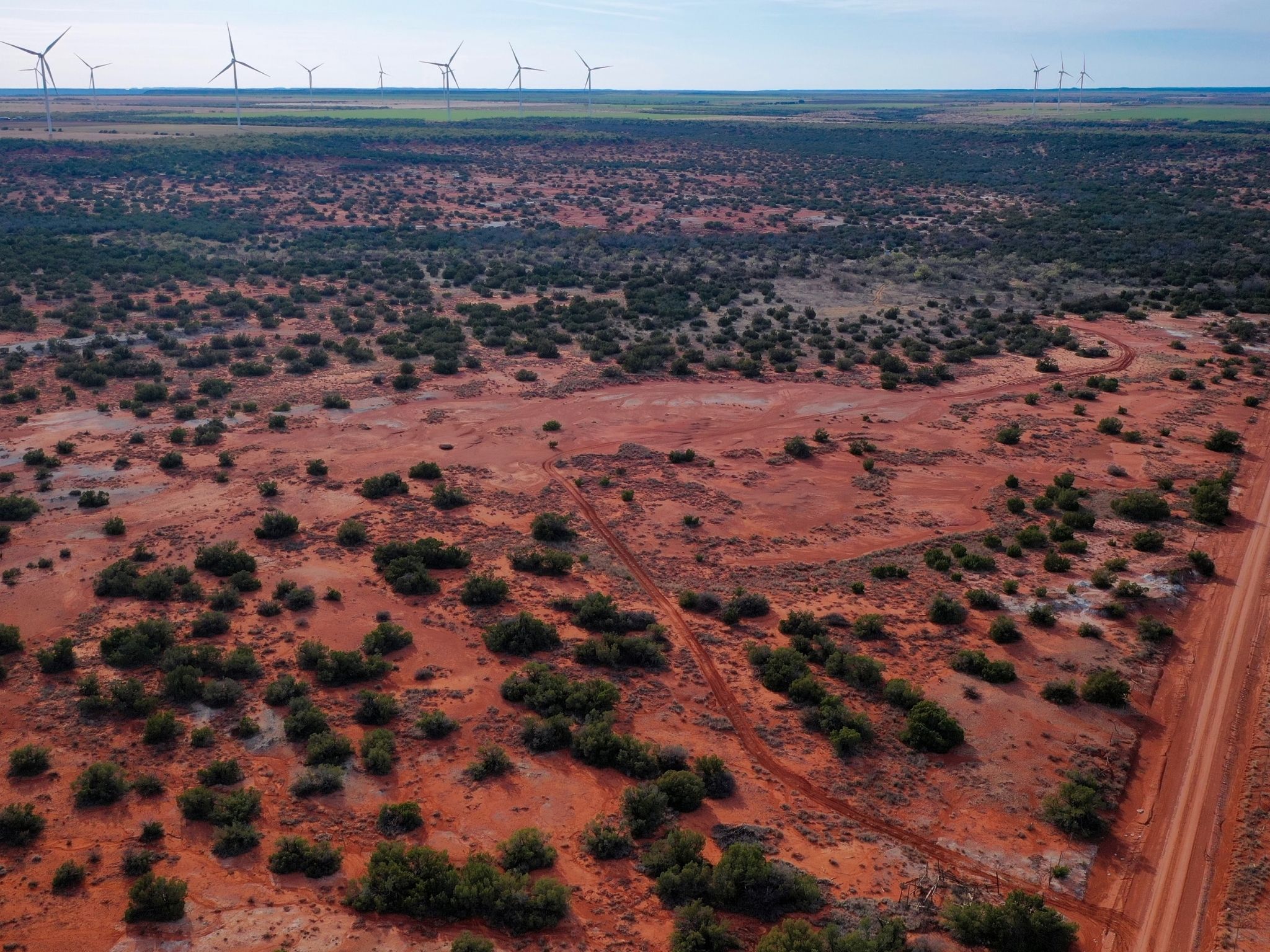
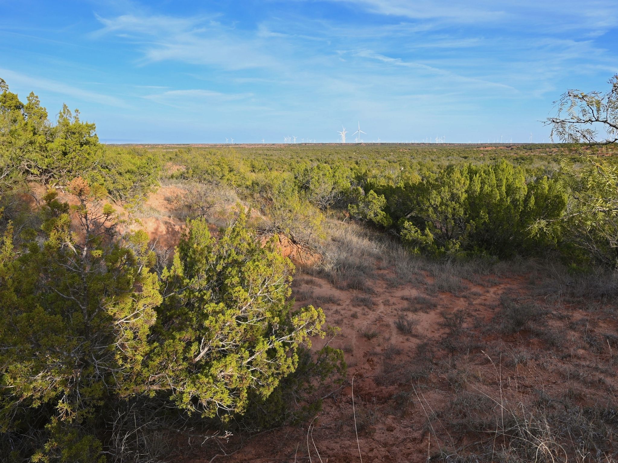
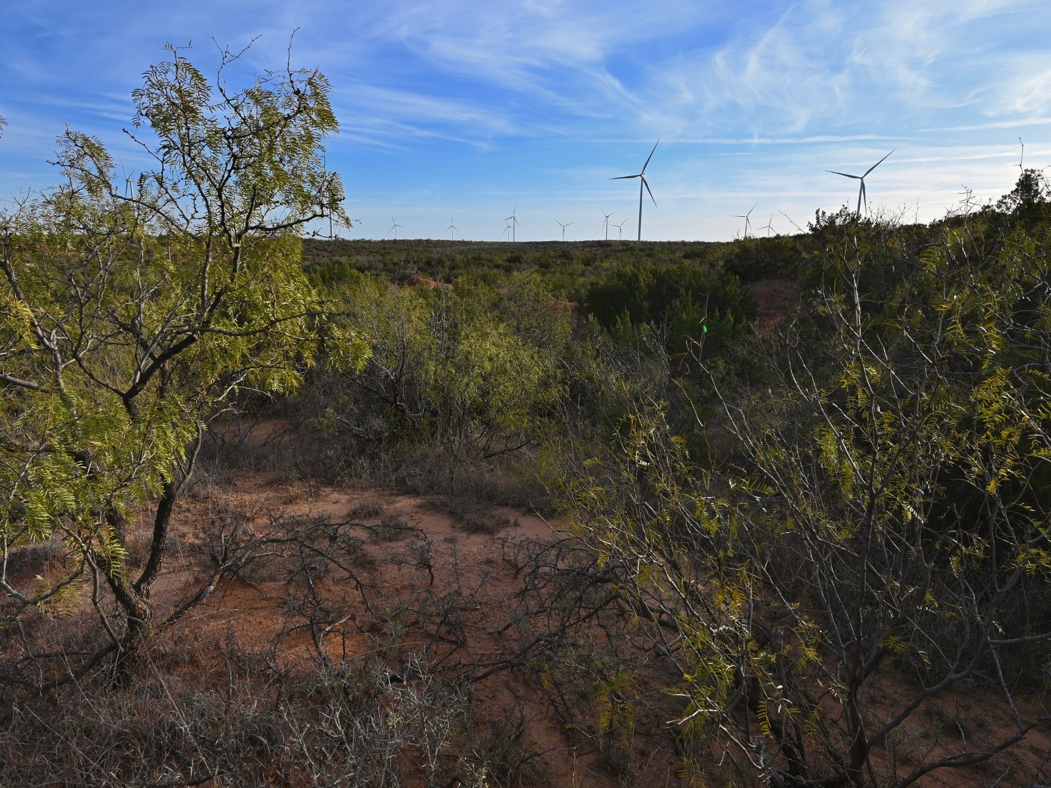
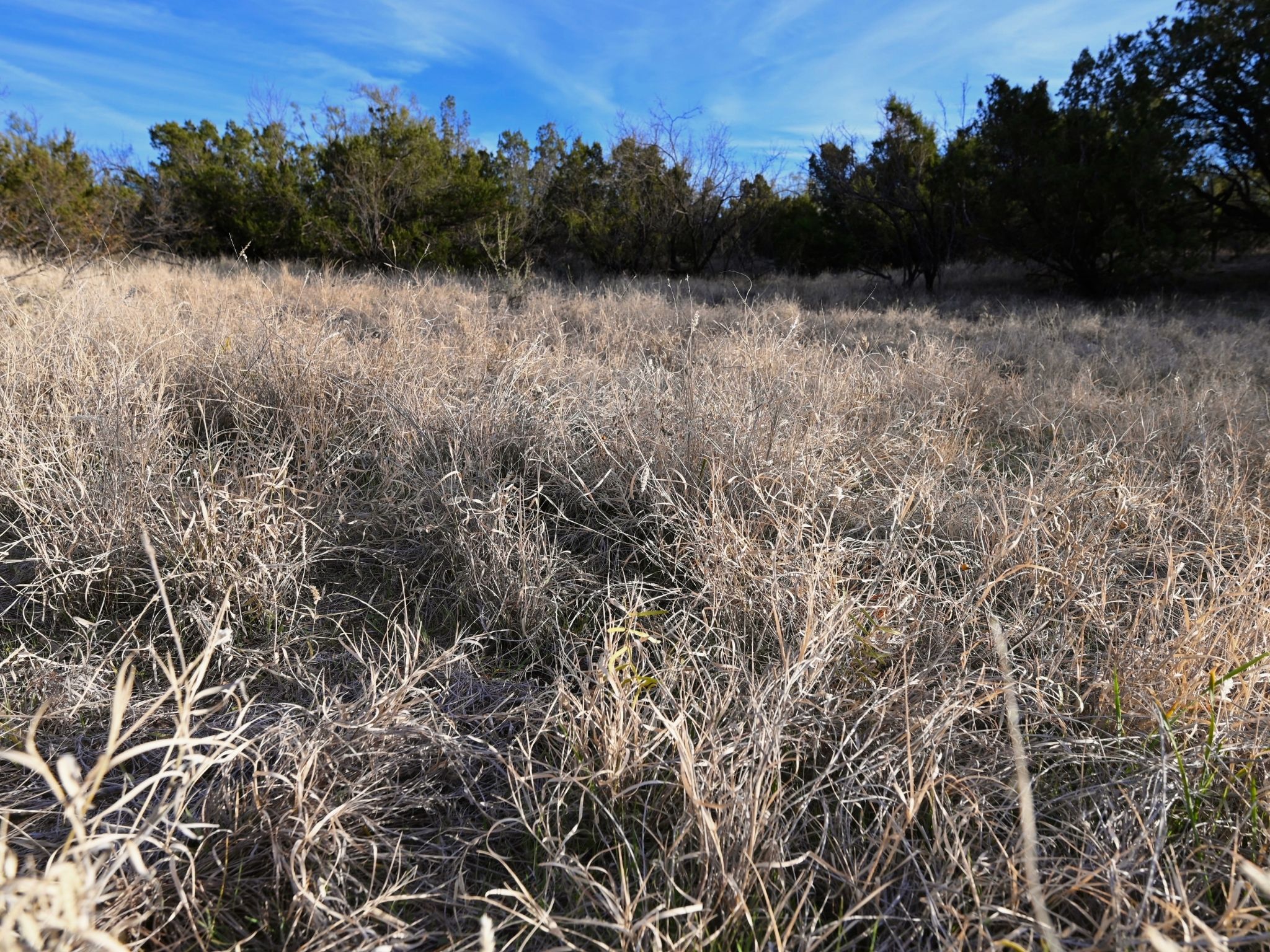
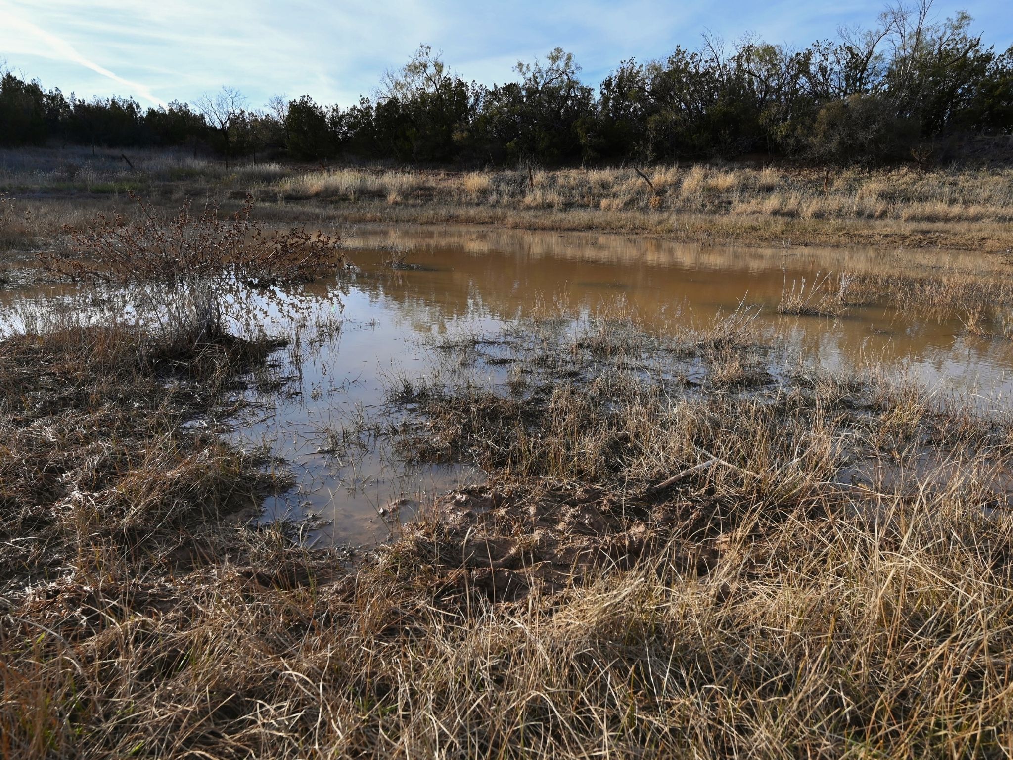
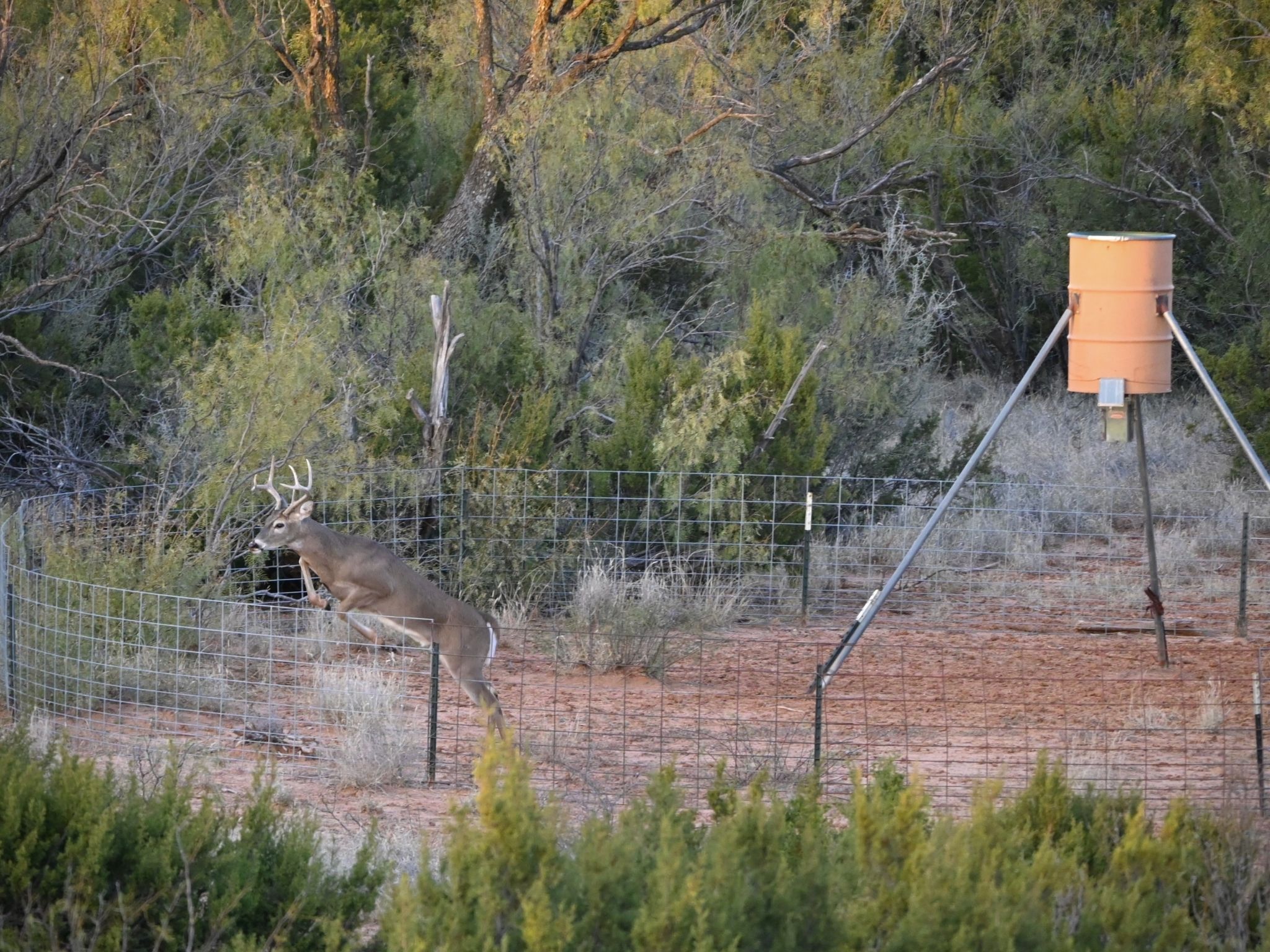
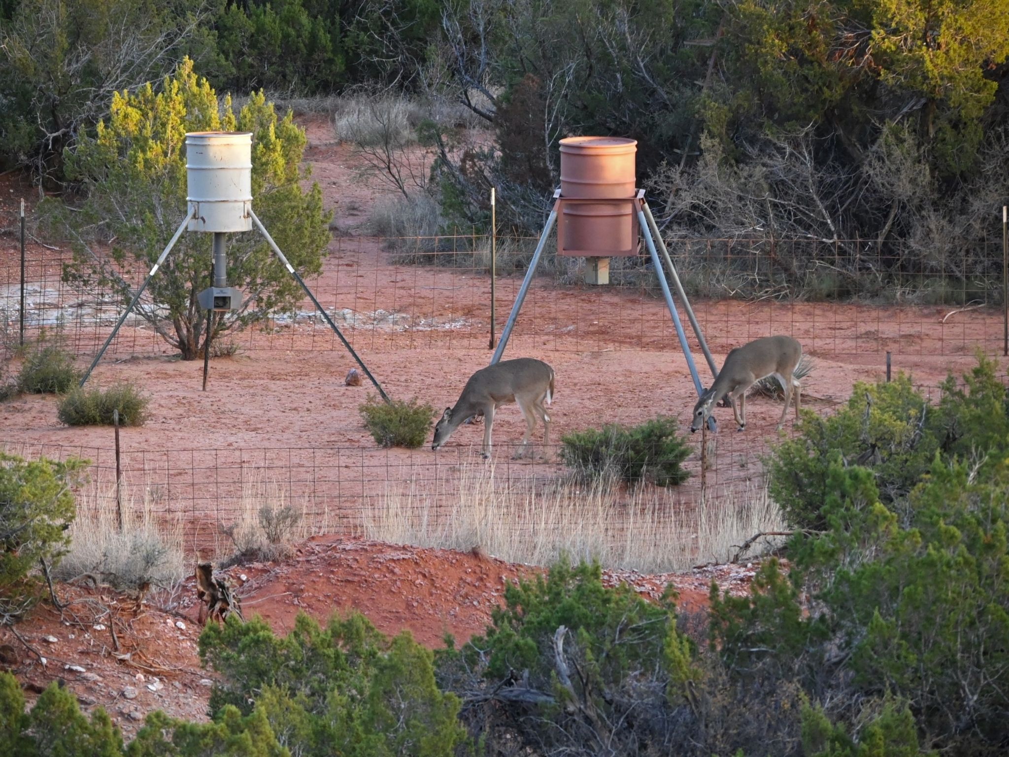
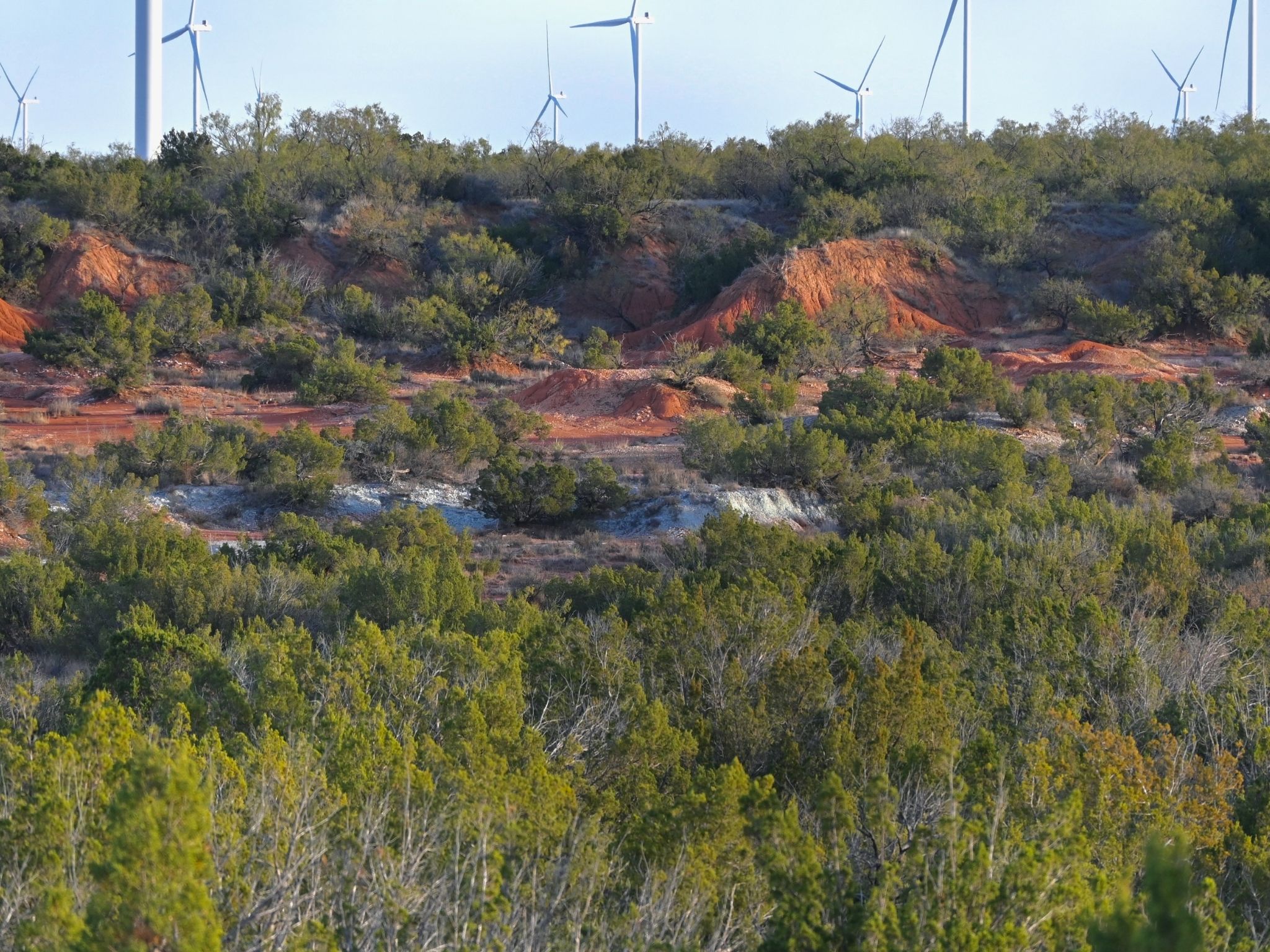
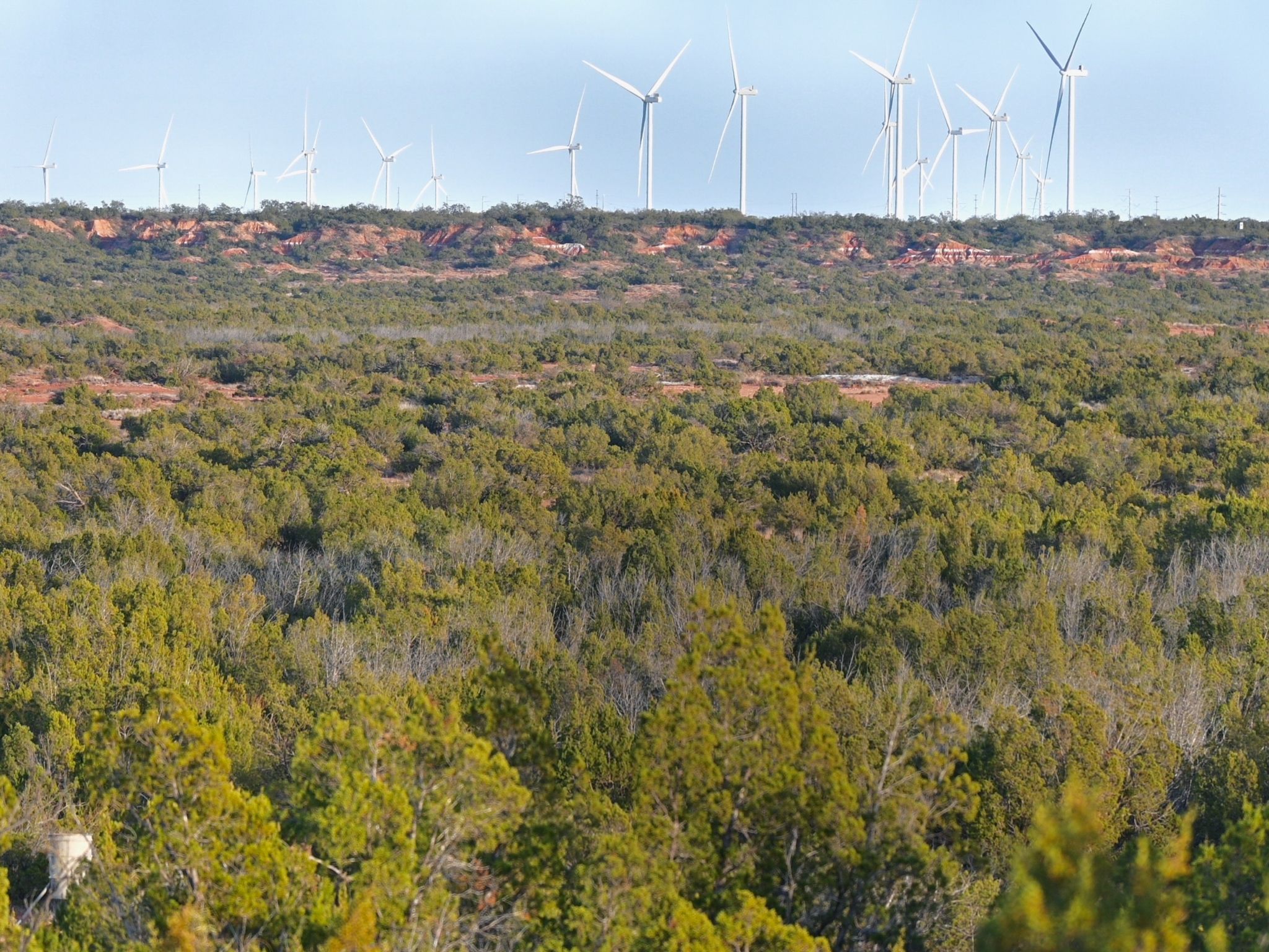
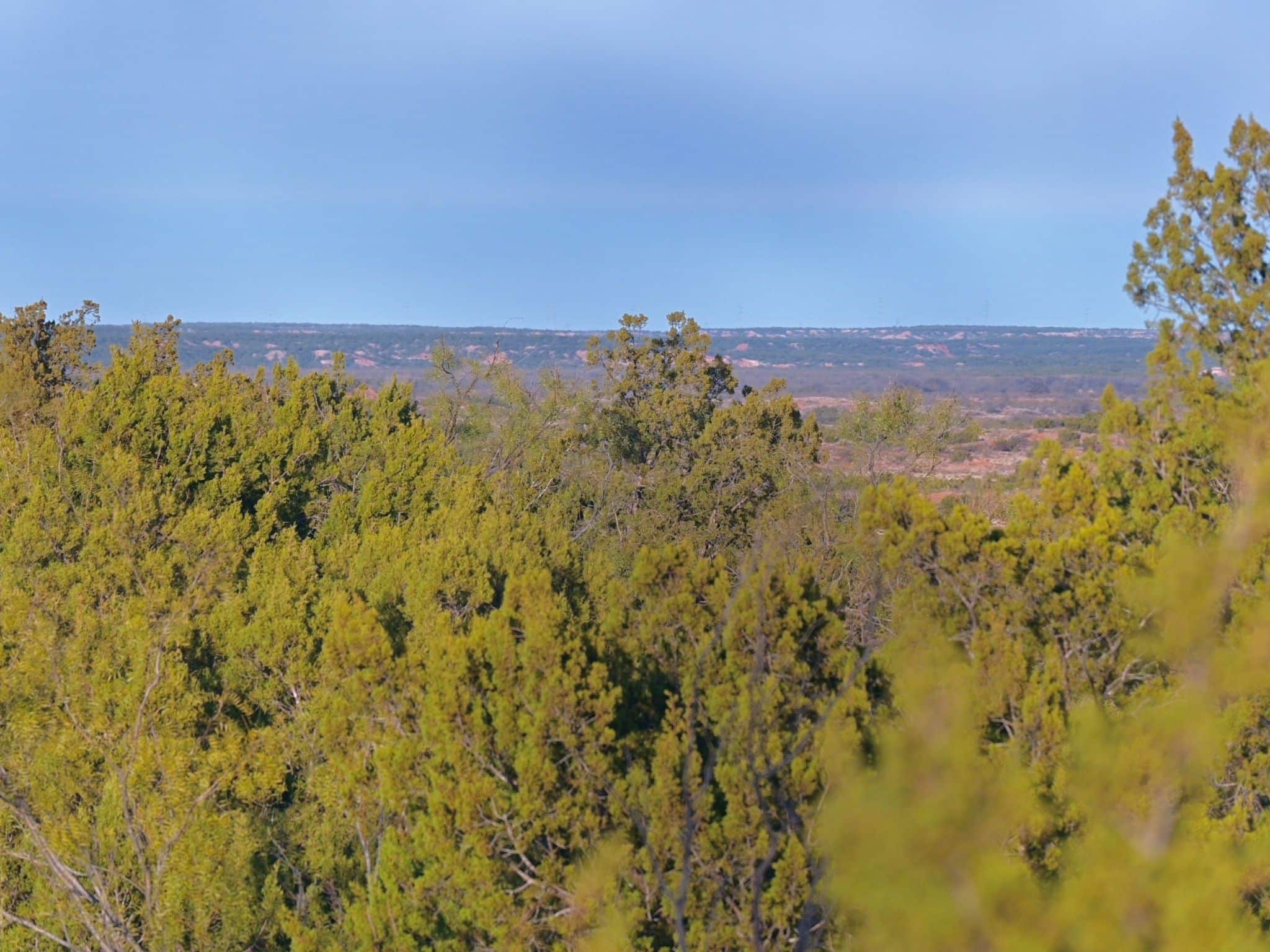
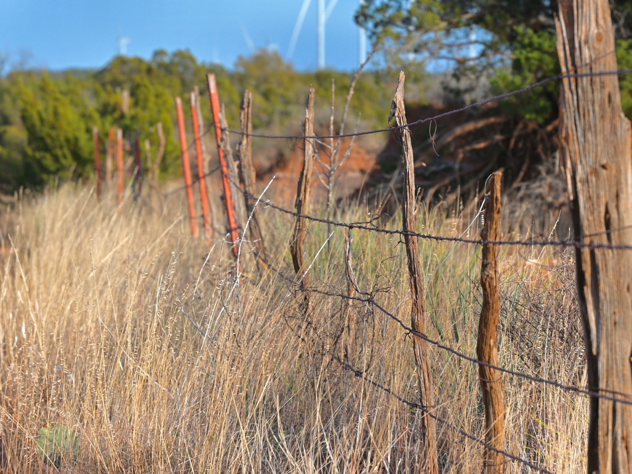
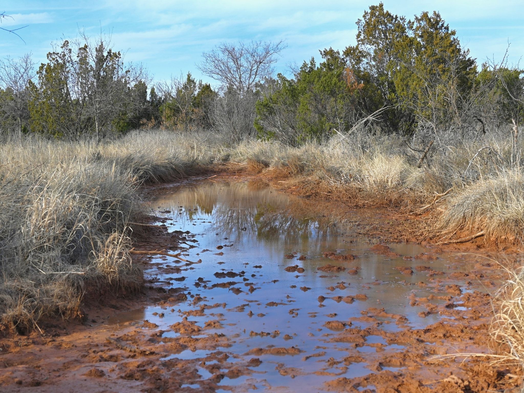
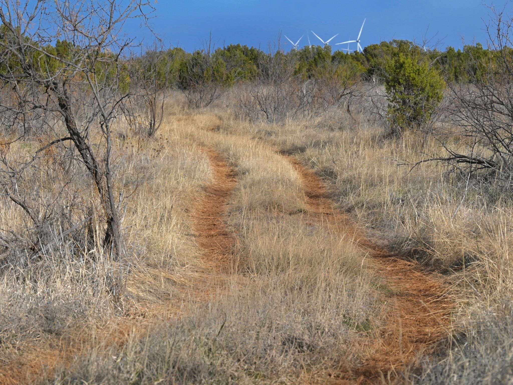
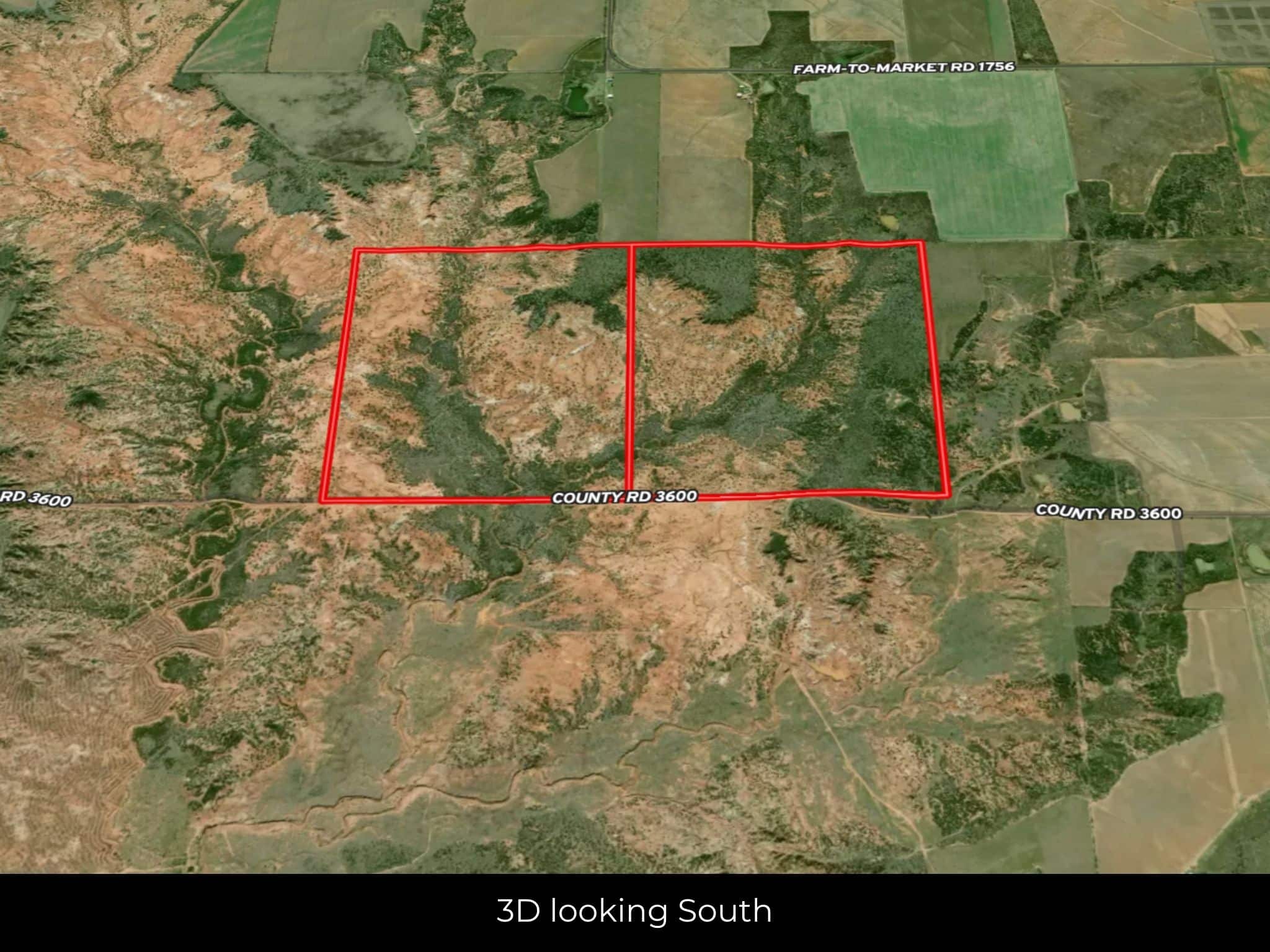
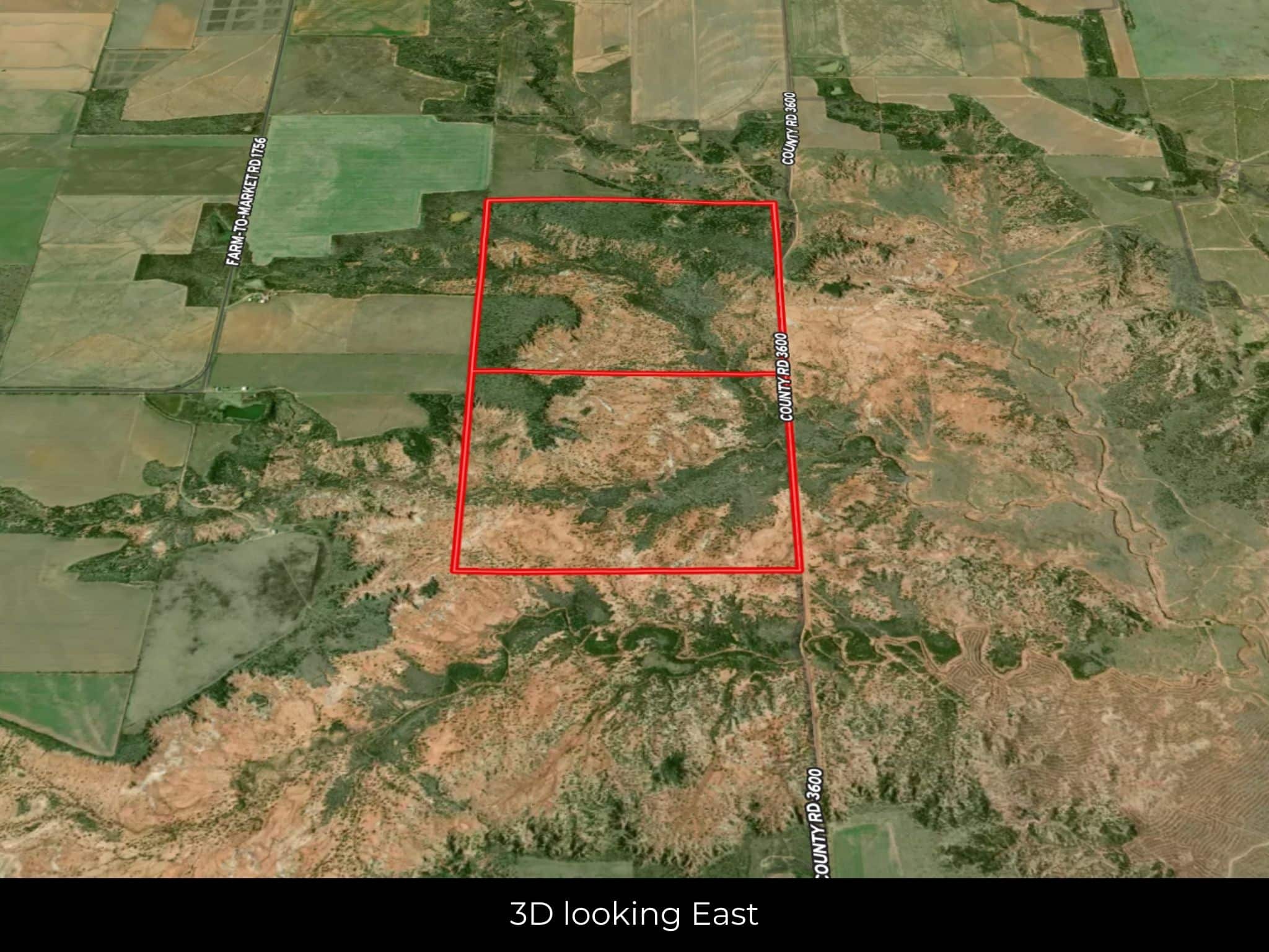
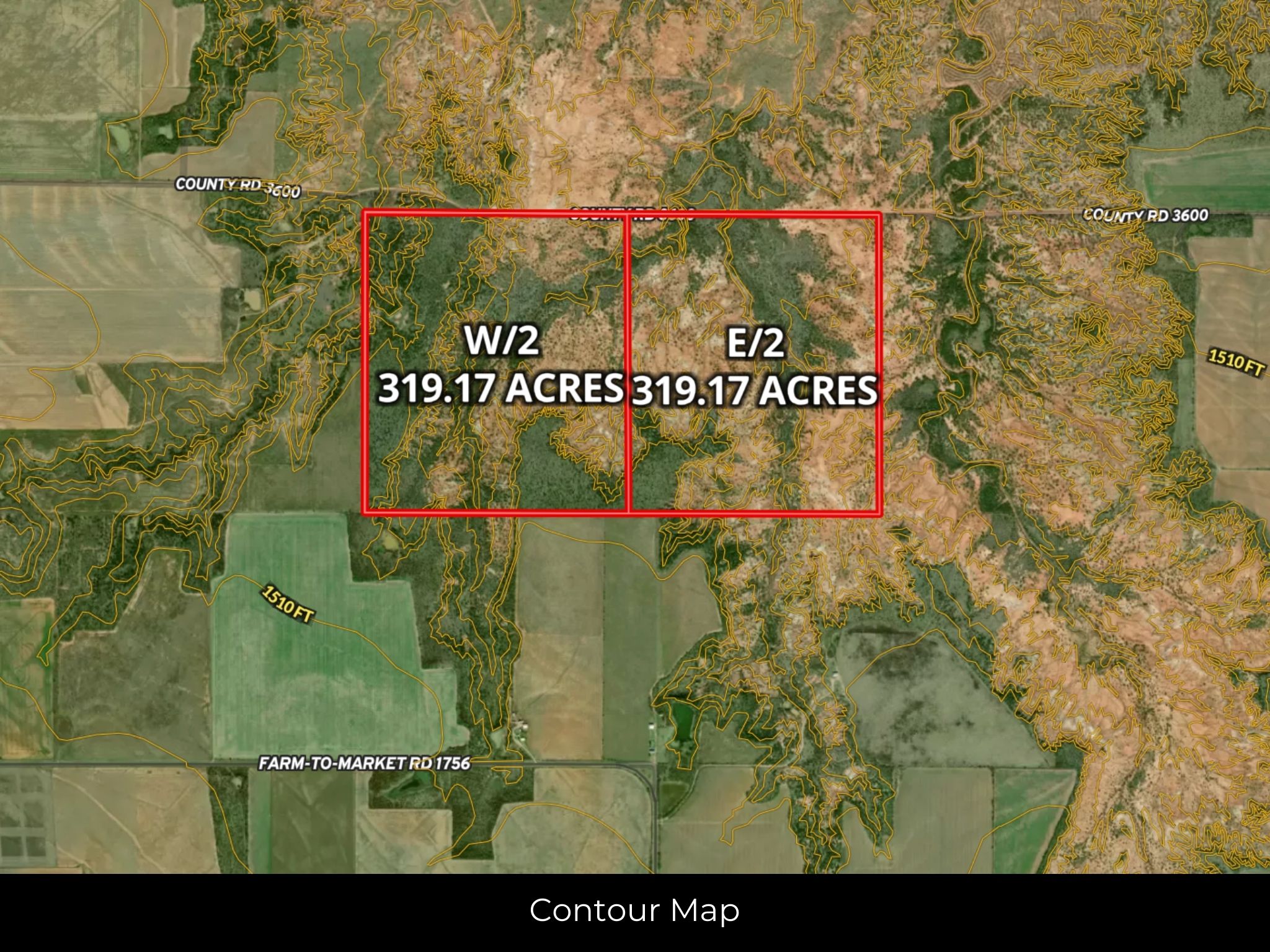
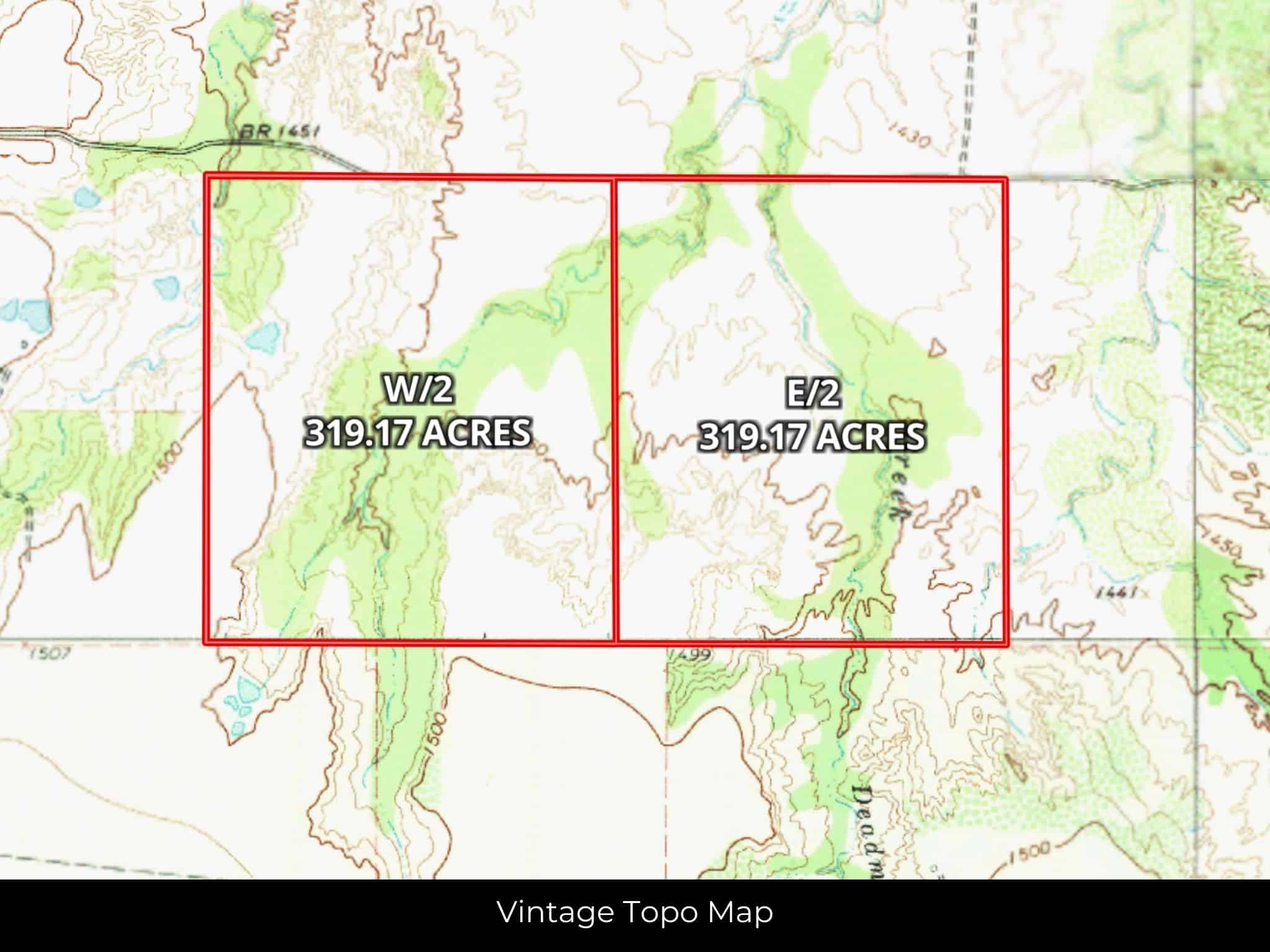
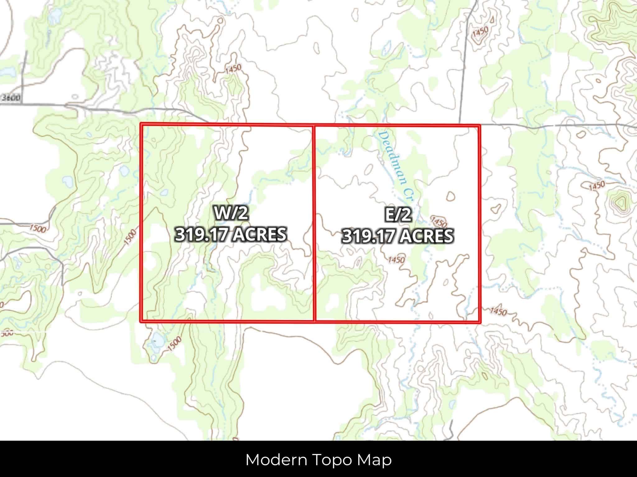
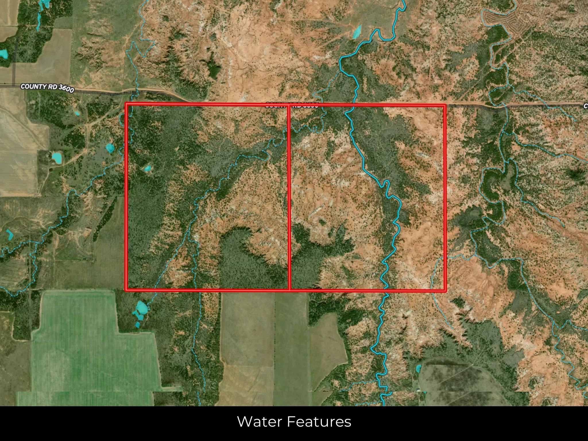
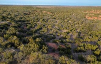
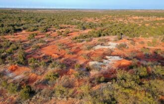
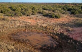
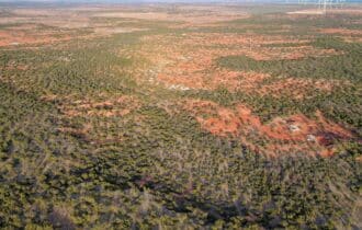
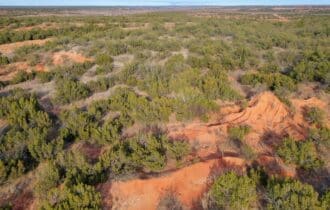
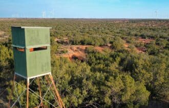
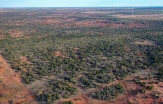
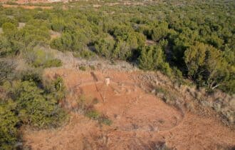
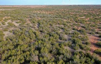
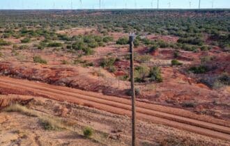
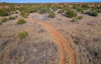
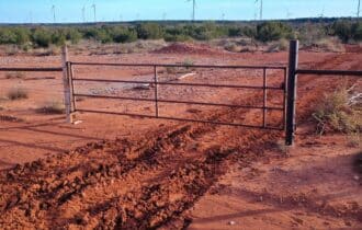
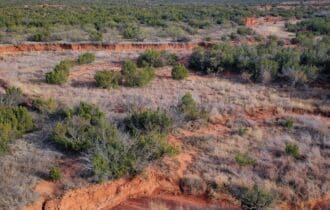
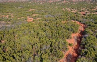
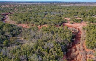
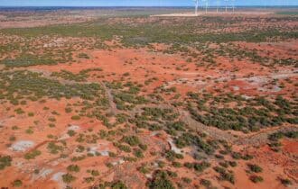
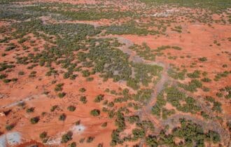
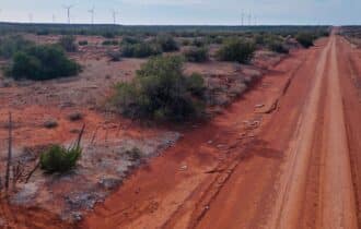
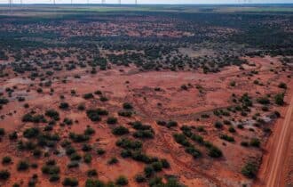
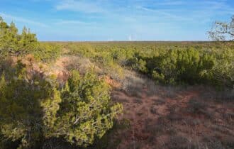
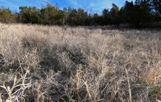
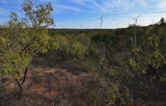
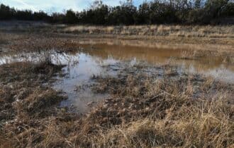
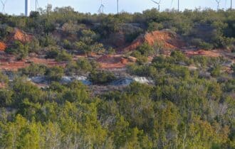
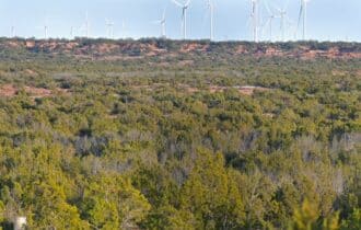
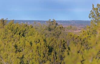
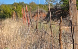
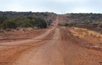
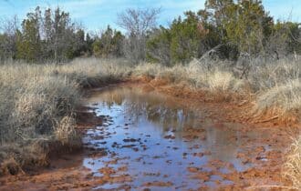
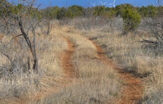
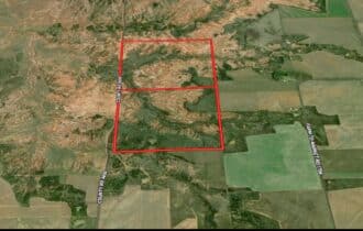
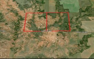
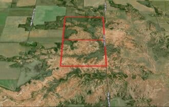
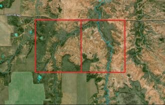
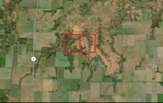
Remote, quiet, and private – this 638.33-acre ranch between Lubbock and Wichita Falls has
everything you are looking for in your next ranch. This property has access from a quiet country
road, no nearby neighbors, rolling terrain with several flat spots for building, and two seasonal
creeks. Use this land as your private hunting retreat, raise your own livestock here, or lease the
land to a neighbor for grazing to take advantage of agriculture exemption property taxes. With no
flood zone and no restrictions, you are only limited by your imagination here.
When you need to go to town for supplies, Wichita Falls is an hour and a half to the east, or
Lubbock is two hours to the west. Both of these Great Plains cities are overlooked by tourists but
have plenty of attractions for you to explore. In Wichita Falls, have a picnic at Lucy Park on the
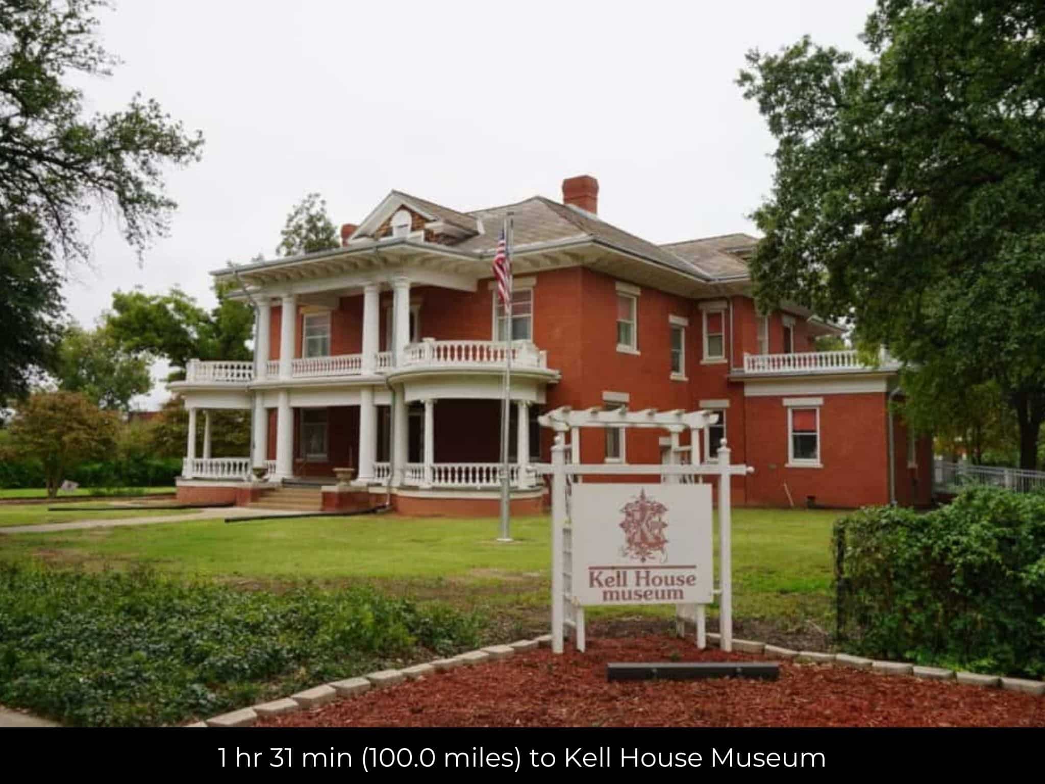
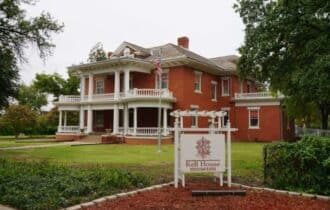
banks of the Wichita River, visit the River Bend Nature Center, wander through the historic Kell
House Museum, or go antiquing in the Depot Square Historic District.
Lubbock is the home of Texas Tech University, but is best known as the birthplace of music
legend Buddy Holly. The Buddy Holly Center has memoriabilia and artifacts that belonged to the
legendary singer, as well as antiques from the 1950s in the adjacent Allison House. Catch an off-
Broadway show at the Cactus Theater, wander through the Museum at Texas Tech University, go
stargazing at Moody Planetarium, or get your heart racing on the rides at Joyland Amusement
Park.
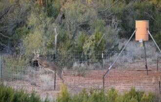
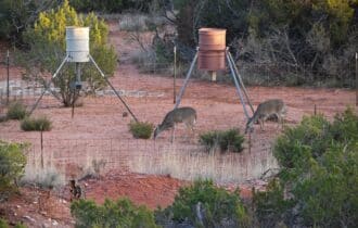
This 638.33-acre property is the private place you have been seeking for your next hunting retreat or
ranch, and at this price it will not last long. Contact me today for more information.
Property Video
Visiting the Property
You are welcome to visit the property at your convenience and anytime while it's still available. However, we HIGHLY recommend checking-in with us prior to visiting the property in case the property has gone under contract or already sold.
The interactive map above is generated with MapRight. MapRight has free apps for Apple IOS and Android that can be used to track your location and route throughout a property and provide driving directions.
MapRight for Apple –> Download App.
MapRight for Android –> Download App.
To launch the interactive map on your device, 1) install the free MapRight app using one of the two links above for Apple or Android, and 2) click the “View Full Screen” link (see above) in the embedded map on the property listing page.
Property Information
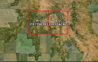
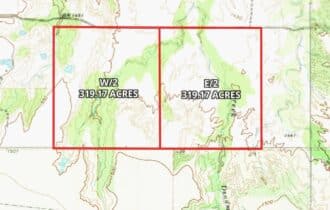
Parcel Size
638.33 Acre
State
Texas
County
Knox
Nearest Cities
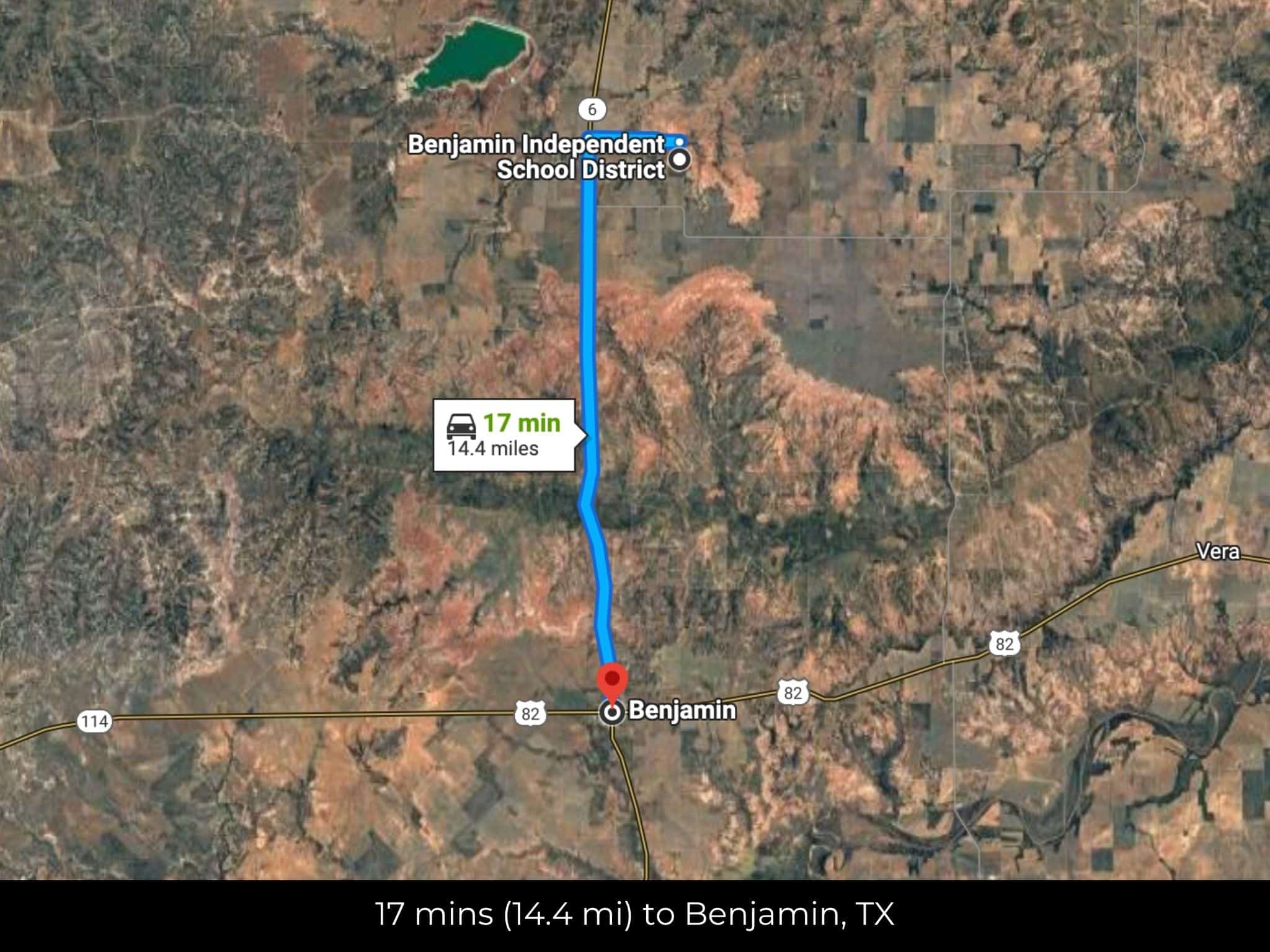
Benjamin, TX
Parcel #
R000005633 & R000005634
Address
00 CR 3600, Crowell, TX 79227
Legal Description
ABST 1623 SEC 2 GC&SF RR BENJAMIN , ABST 1744 BLK J SEC 2 GC&SF RR BENJAMIN
Zip Code
79227
Annual Property Taxes
$112.63
Ag Exemption
Yes
HOA
None
HOA per Year
N/A
Survey Available
Yes
School District
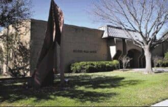
Benjamin Independent School District
Liens and Back Taxes
None!
Source Deed
Sent for Filing.
Title Status
Free & Clear!
Outgoing Conveyance
Warranty Deed
Property Features
Acres
638.33
Dimension
6852.76 feet x 3982.75 feet
County
Knox
Access
Yes
Power
Nearby
Water
Nearby
Coordinates
33.7556, -99.7672
Zoning
Agricultural / Rural (General)
Elevation
1450ft
Terrain
Flat
Floodplain
No
Duplexes
Yes
Mobiles
Yes
Tiny Homes
Yes
Barndominiums
Yes
RV's
Yes
Camping
Yes
Property Survey, HOA, & Additional Documents
Utilities
🔌 Power: Power Available, Solar, wind, propane, or alternative energy source.
💧 Water: Water well, collection, hauling/delivery, or alternative.
🚽 Sewer: Septic or alternative sewer system.
☎️ Phone: cellular, VOIP (see internet below), and satellite phone through Iridium, Globalstar, or Inmarsat.
🌐 Internet: satellite internet through Starlink, HughesNet, or ViaSat.
📺 Cable: satellite cable through Dish or DirectTV.
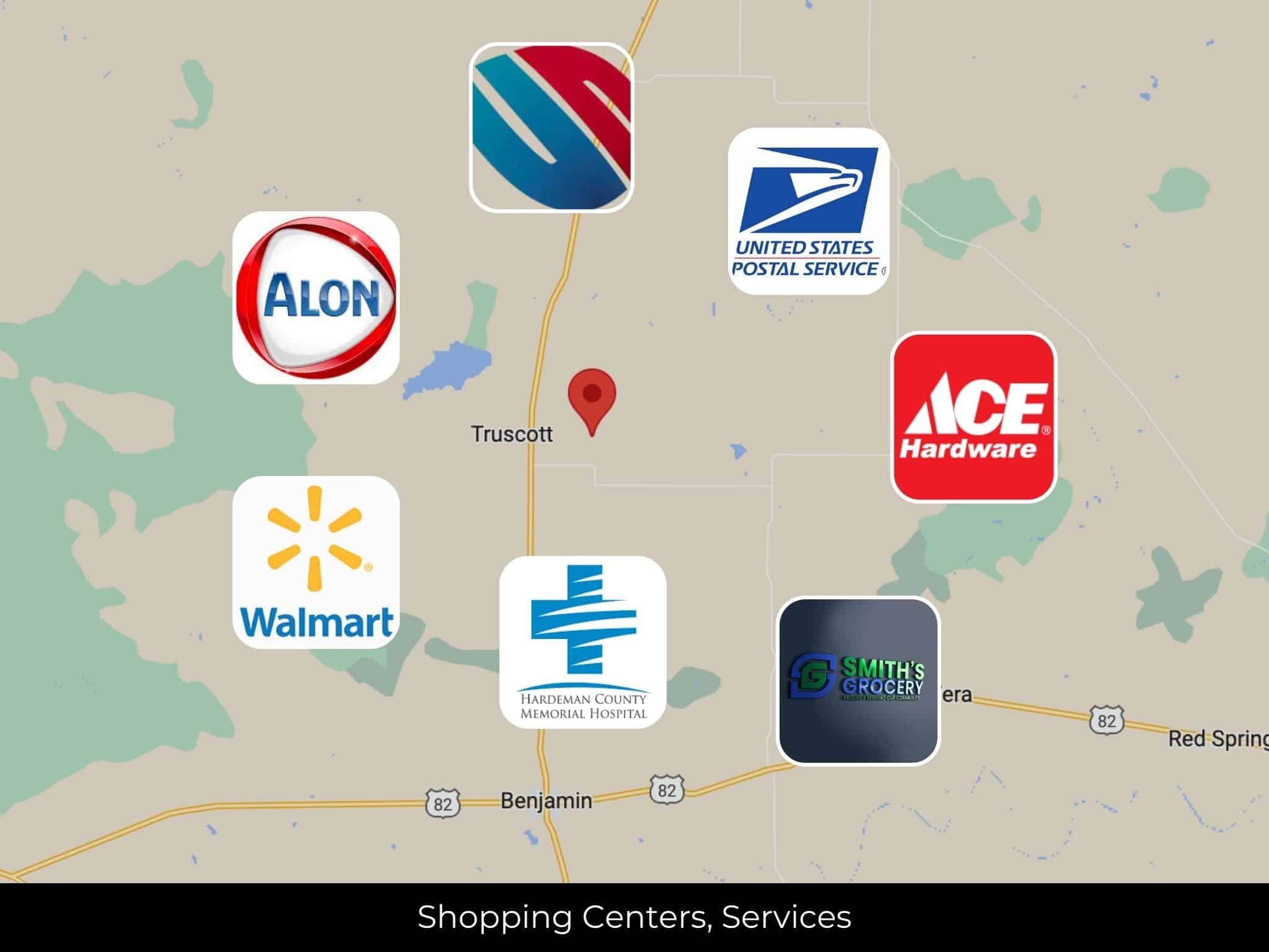
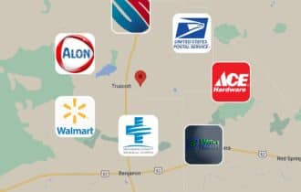
Nearby Cities, Conveniences, and Attractions
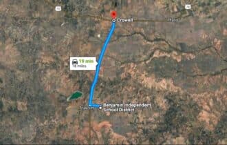
19 min (18.1 miles) to USPS, Crowell, TX (about)
19 min (18.4 miles) to Alon, Crowell, TX (about)
19 min (18.2 miles) to Smith’s Grocery, Crowell, TX (about)
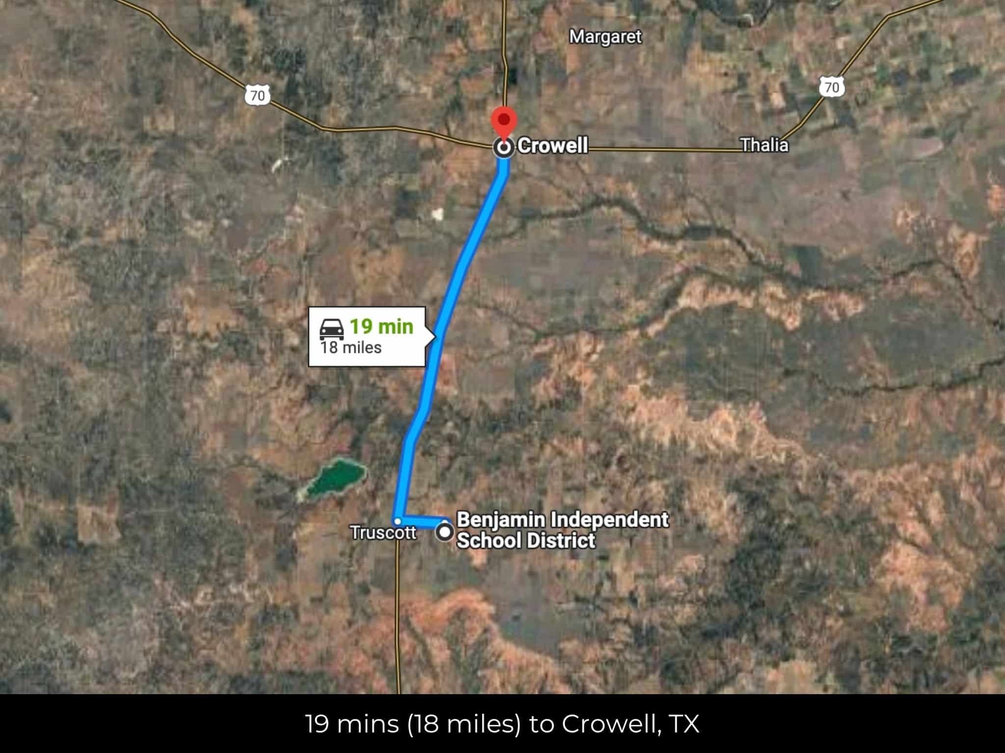
19 min (18.0 miles) to Crowell, TX (about)
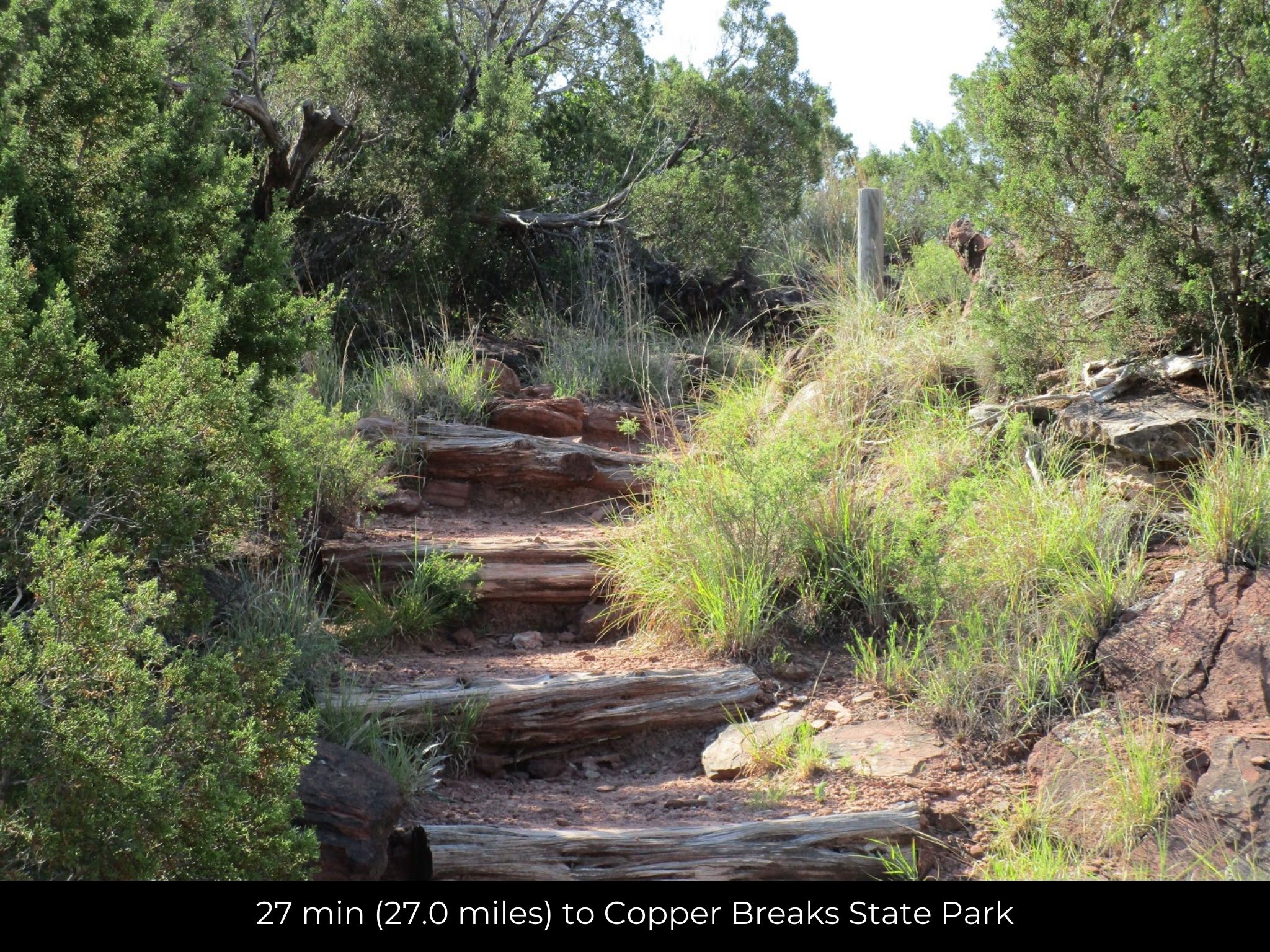
27 min (27.0 miles) to Copper Breaks State Park (about)
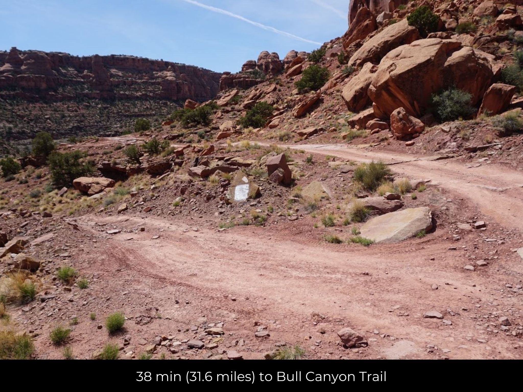
38 min (31.6 miles) to Bull Canyon Trail (about)
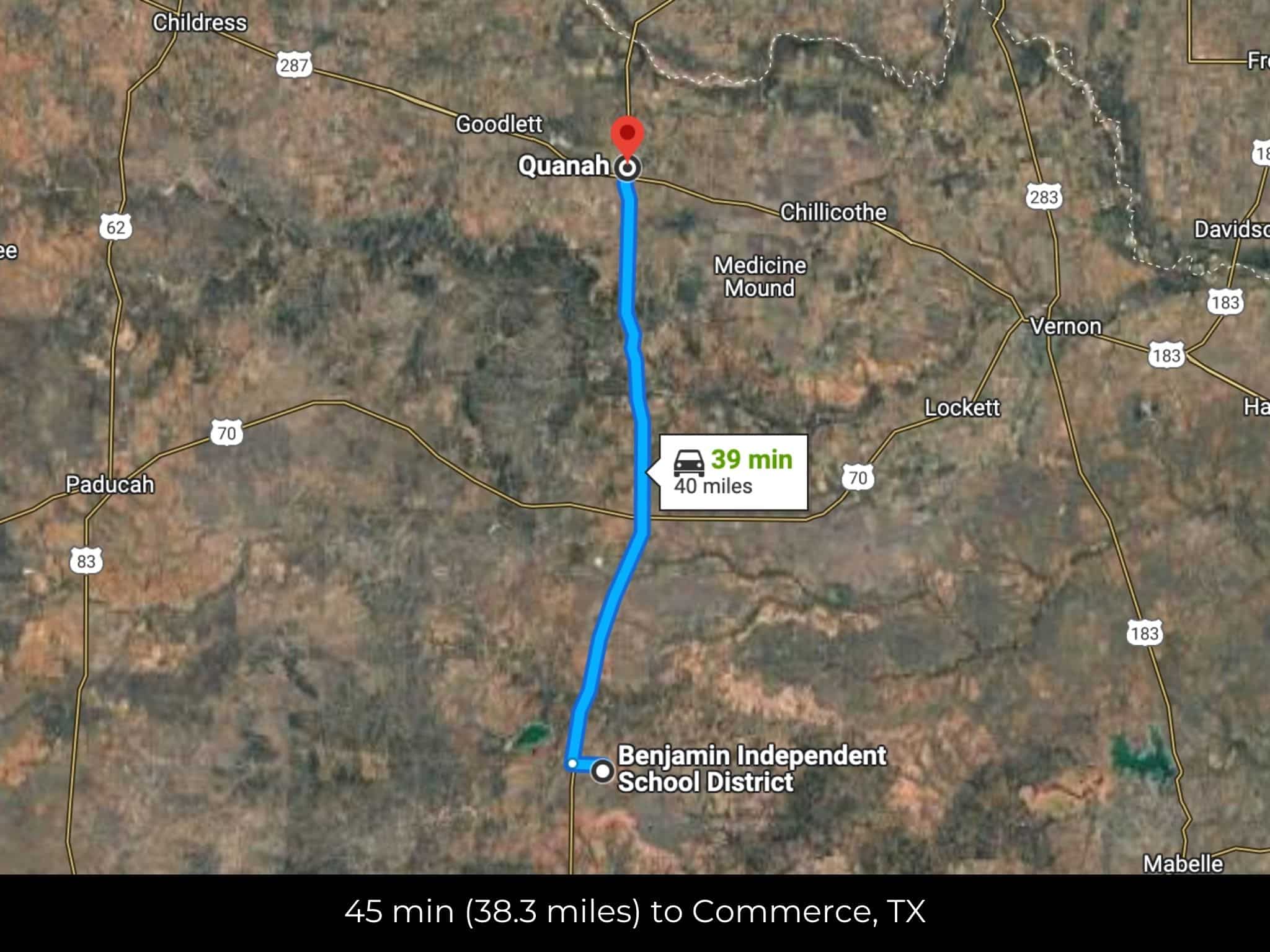
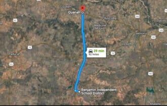
39 min (40.0 miles) to Quanah, TX (about)
40 min (39.9 miles) to Hardeman County Memorial Hospital, Quanah, TX (about)
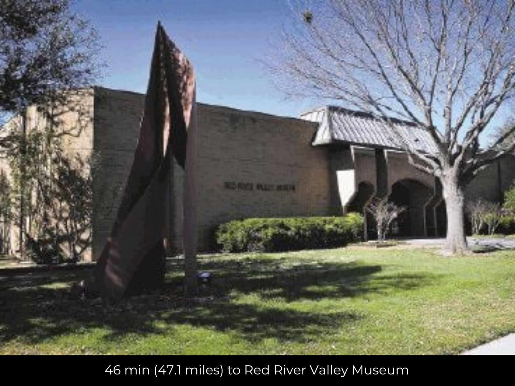
46 min (47.1 miles) to Red River Valley Museum (about)
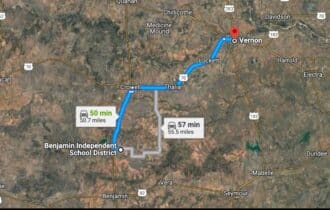
47 min (47.6 miles) to Walmart, Vernon, TX (about)
48 min (48.1 miles) to Ace, Vernon, TX (about)
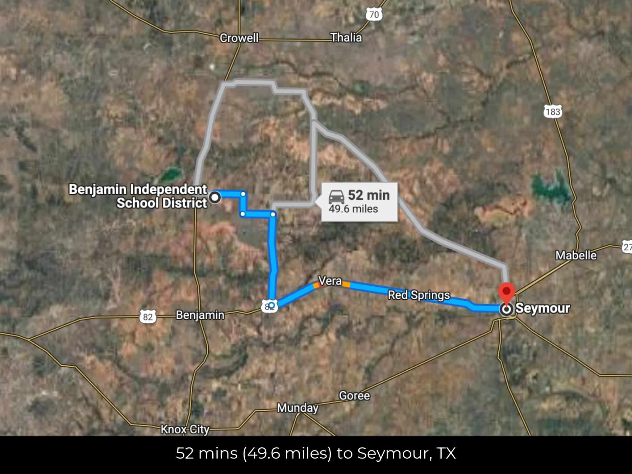
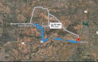
50 min (41.4 miles) to Seymour, TX (about)
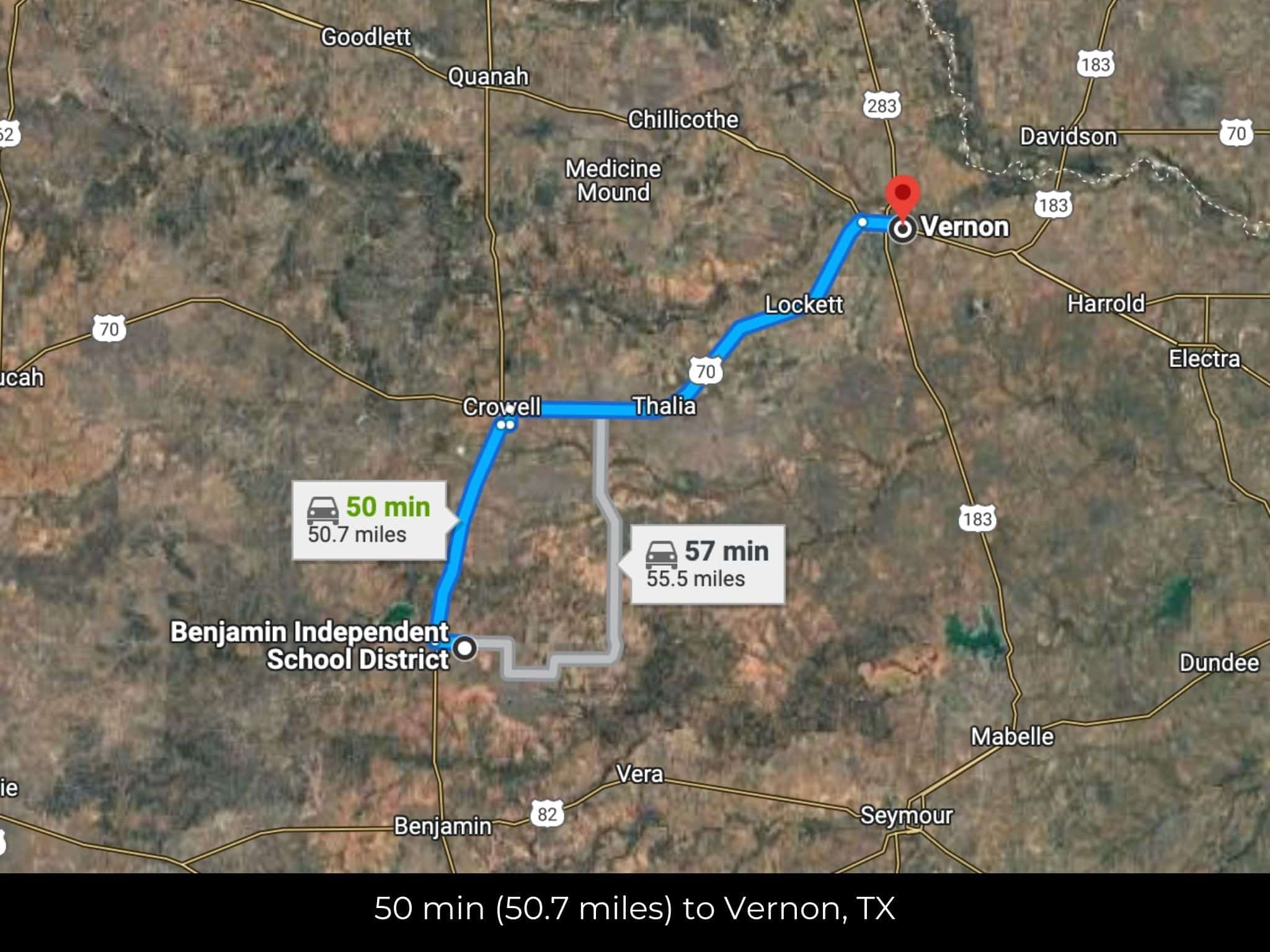
50 min (50.7 miles) to Vernon, TX (about)
51 min (41.6 miles) to Seymour Sound Garden(about)
53 min (41.9 miles) to T J Stockman's Store , Seymour, TX (about)
1 hr 31 min (100.0 miles) to Kell House Museum (about)
1 hr 32 min (99.6 miles) to Wichita Falls, TX (about)
1 hr 34 min (103 miles) to Midwestern State University (about)
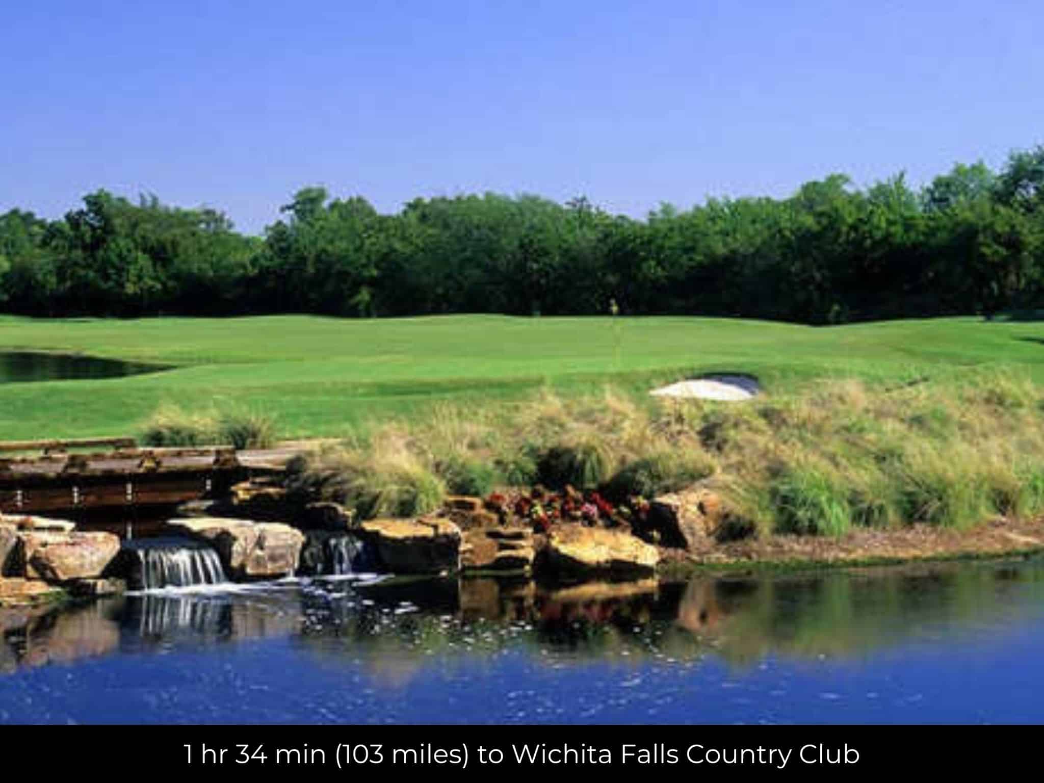
1 hr 34 min (103 miles) to Wichita Falls Country Club (about)
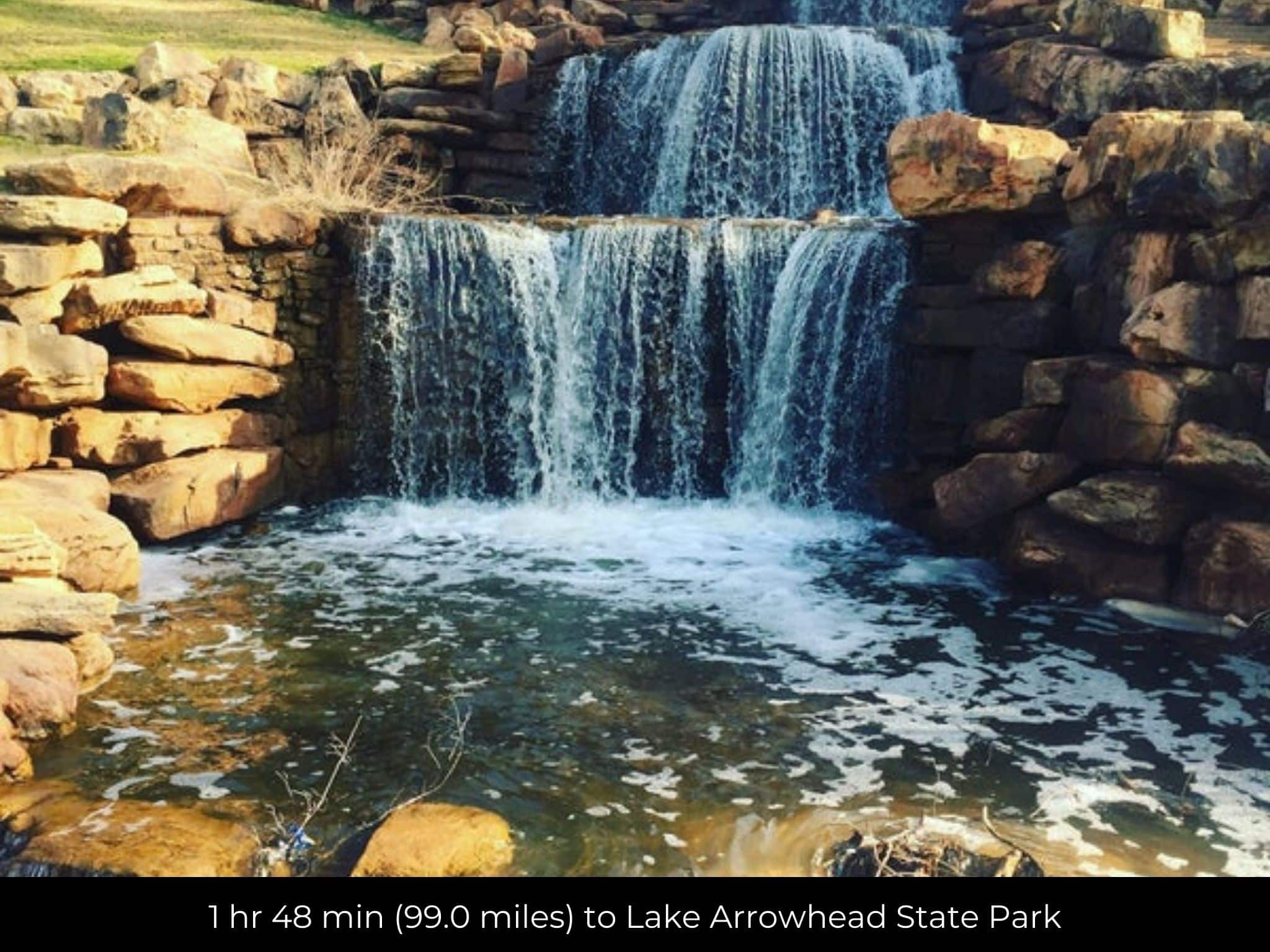
1 hr 48 min (99.0 miles) to Lake Arrowhead State Park (about)
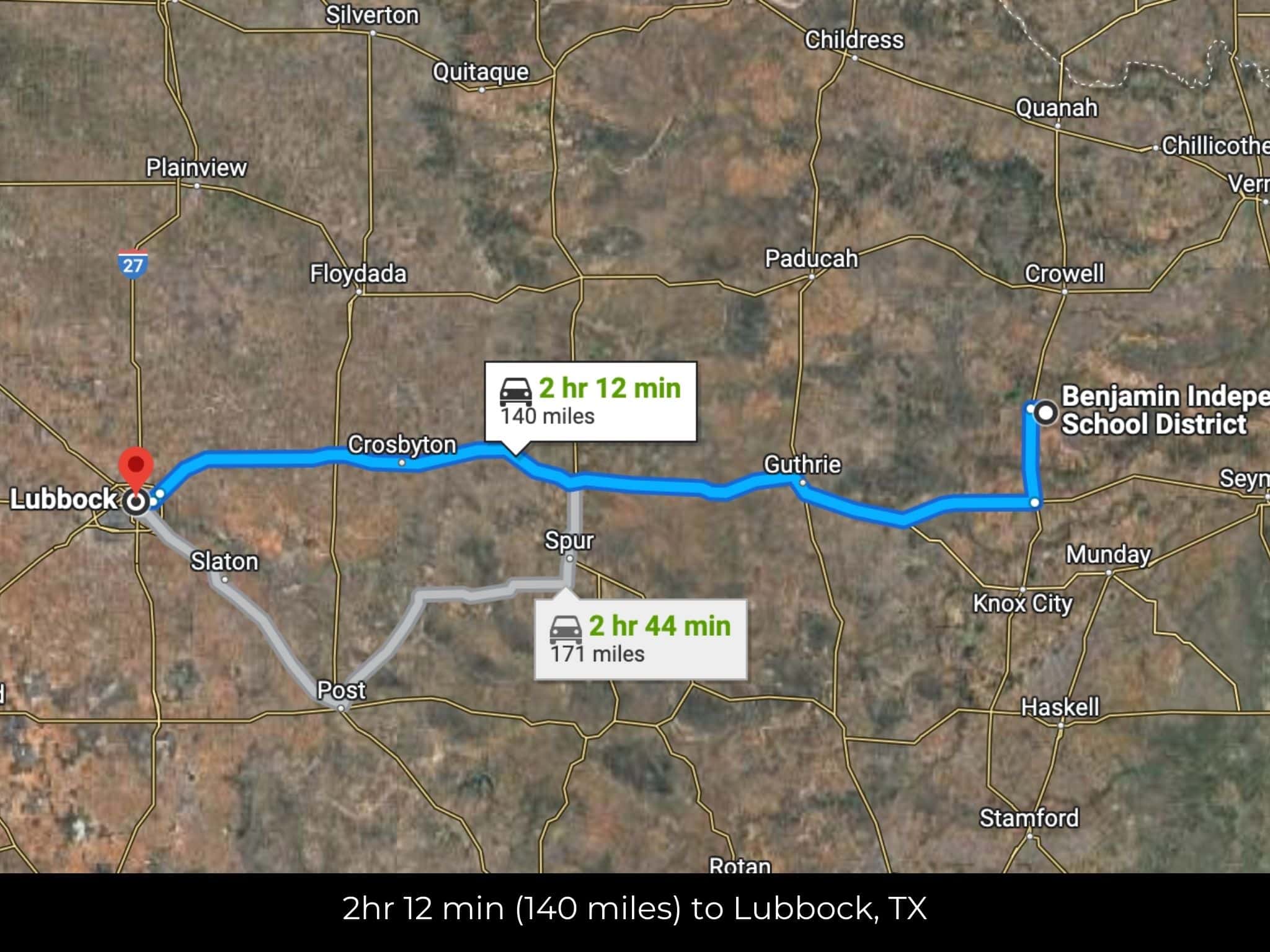
2 hr 12 min (140 miles) to Lubbock, TX (about)
County Contacts
Knox County Assessor Penny Eaton (940) 459-2411 (website)
Knox County Treasurer Julie Bradley (940) 459-2251 (website)
Knox County Clerk Lisa Cypert (940) 459-2441 (website)
Knox County Health 865-215-5000 (website)
Knox County CAD (website)
Closing Costs and Fees
$299
Document Prep Fee
Buyer will pay a $299 document preparation fee, which includes all postage and county recording fees. Seller will warrant title to the property.
$0
In-House Closing Fee
There will be no additional fees or expenses for an in-house closing. We will close in 14 days or less. This is the fastest, easiest, and cheapest way to close.
$1,500+
Title Company Fees*
Title Company costs are typically 2-5% of the purchase price with a minimum fee of around $1,500. Many states have legislated, standard insurance rates and other fees vary by the title company.
* If Buyer elects to close through a third-party title company, Buyer will bear all closing costs and expenses, including Seller’s title policy and Seller's escrow fees. Closing through a title company typically takes 30-45 days, depending on the county, title company, and transaction activity in the area.
Driving Directions and GPS Coordinates
🚗 Driving Directions: Head east on W South St toward S Florence Ave
0.3 mi, Turn left onto S Walnut St 1.0 mi, Turn right
📍 Northwest Corner: 33.7606, -99.778 (Google Map)
📍 Northeast Corner: 33.7605, -99.7561 (Google Map)
📍 Southeast Corner: 33.7502, -99.756 (Google Map)
📍 Southwest Corner: 33.7493, -99.7779 (Google Map)
📍 Center Point: 33.7556, -99.7672 (See embedded Google Map below 👇.)
Google Map
If you click the blue Directions link below, 👇 you can get Google turn-by-turn directions to the property on any device. The map coordinates for the Google Map below are for the approximate center of the property and not the entrance, gate, or primary access point for the property. Google Maps may provide driving directions that require the use of private or abandoned roads or may require you to go through gates located on private property. Do not trespass on private property! Some properties will require a 4-wheel drive vehicle or may be inaccessible in certain weather conditions. Please don't get stuck or lost.
Additional Notes
As-Is and As-Available: This property is being sold property “as-is” and “as-available.” No representations as to fitness for a particular purpose have been made. No verbal claims or promises have been made. Please see our Terms of Service for more information.
Contract: After making your initial deposit, we will email you the purchase and sale agreement, which includes a warranty deed. Agreements are prepared manually and will be sent out Monday through Friday between 9 AM and 5 PM CST. Thank you for your patience.
No Monthly Payments: We are not offering seller financing on this property. This is an all-cash transaction. We are not offering a payment plan. If you would like to finance your purchase of the property, please contact a third-party lender prior to making your deposit. We will not sign a purchase and sale agreement that is contingent upon third-party financing without a pre-approval letter.
3% Buyer's Agent Commission: You are not required to have an agent or broker assist you with purchasing this property. However, if the Buyer does use an agent, and the Seller is made aware of this prior to an agreement on price or signed contract, the Seller will pay a 3% commission to the Buyer's licensed agent or broker.
Maps and GPS Coordinates: Maps and GPS coordinates are believed to be accurate, but accuracy is not guaranteed. The information contained in the maps should not be considered a “legal description,” and the maps and GPS coordinates are not a replacement for a survey. We have taken reasonable steps to ensure that parcel lines, maps, and coordinates are in fact accurate, but third-party geographical information system (GIS) providers, including information from the county, often contain errors and inaccuracies.