


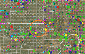

SOLD: 54.305 Net Mineral Acres in the Anadarko Basin 🛢️
20 miles NE of Canadian, Texas
HBP @ 12.5% | Granite Wash | Cleveland | Tonkawa
Payment Options

Payment Note(s)
🛑 CASH ONLY! No payment options are available for this property.
How to Purchase: Please click the ☝️ orange “RESERVE NOW” button above to make your secure deposit payment via credit card or debit card. Once you’ve completed checkout, we will both receive instant email notification of your deposit, and the deposit will be credited towards the cash price at closing. Properties are sold on a “first deposit, first sold” basis.
$199 Option Fee: All property deposits are subject to a NON-REFUNDABLE $199 Option Fee. Please see our Refund Policy for more information. Please DO NOT reserve the property unless you are willing to pay full asking price.
Contract: After making your initial deposit, we will email you the purchase and sale agreement, which includes a special warranty deed. Contracts are manually prepared and reviewed and will be sent out Monday through Friday between 9 AM and 5 PM CST.
Closing and Final Payment: This interest will be sold with a 14-day closing (or less), and final payment must be made by wire transfer.
Description
This is a rare opportunity to purchase 54.305 net mineral acres in the western Anadarko Basin. With only one horizontal, and most sections held by nominally economic Morrow production, this position has huge upside.
This is for minerals rights only; NO SURFACE RIGHTS!
All sections are HBP. 2020 income was ~$1,184.27. Operators are Apache, Maverick, Presidio & GBK. Checks are available upon request.
H&TC Survey, Section 1, Block 43, Hemphill County, Texas, containing 649.5 acres more or less (12.2 NMA)
H&TC Survey, Section 2, Block 43, Hemphill County, Texas, containing 645.6 acres more or less (12.105 NMA)
H&TC Survey, S/2 of Section 44, Block 42, Hemphill County, Texas, containing 320.0 acres more or less (6.0 NMA)
H&TC Survey, Section 45, Block 42, Hemphill County, Texas, containing 640.0 acres more or less (12.0 NMA)
H&TC Survey, Section 49, Block 42, Hemphill County, Texas, containing 640.0 acres more or less (12.0 NMA)
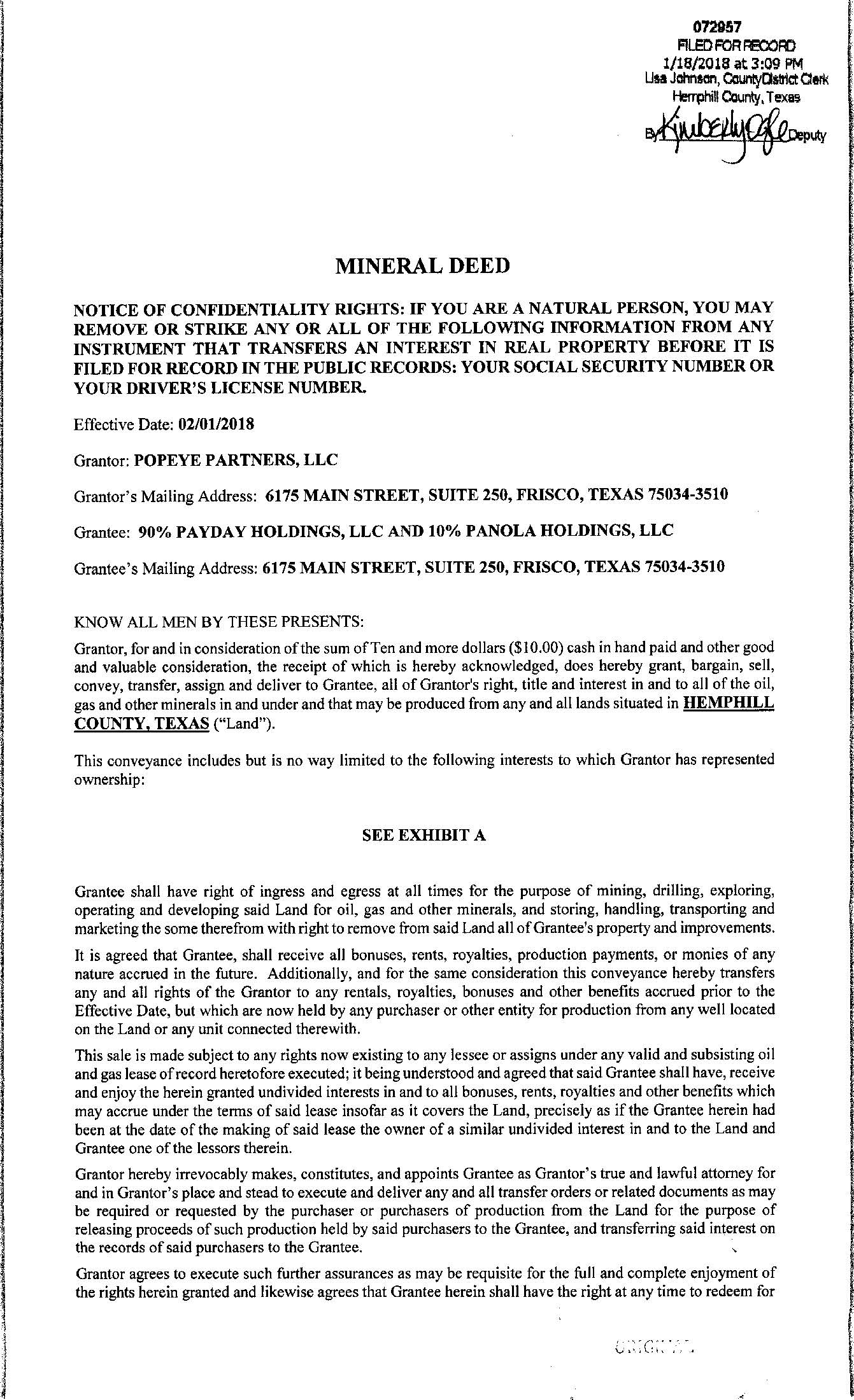
The mineral rights are owned by Panola Holdings LLC. Vesting Deed at Doc# 1072957 (see images above). Plus Ownership Reports for all 5 Sections from Forward Land LLC.
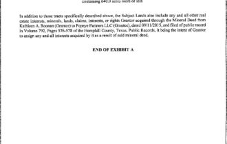
Note: We initially acquired this position in 2015, and since then 90% of the interest, owned by Payday Holdings LLC, has been sold. The original position was 543.05 net mineral acres. If a buyer wanted a larger position, a combined 271.935 net mineral acres located in Sections 1, 2 and 44 may be available at the right price.
Property Information
Parcel Size
54.305 Acres
State
Texas
County
Hemphill
Nearest Cities
Canadian, TX
Parcel #
n/a
Legal Description
See Listing
Features
Acres
54.305
County
Hemphill
Coordinates
36.0338, -100.0317
Elevation
2,500 FT
Purchase Information/Fees
$299
Document Fee
At closing, Buyer will pay a $299 document preparation fee, which includes postage and recording fees.
🕵️ Still looking for land in Texas?
⭐ Please take a look at our other remarkable properties 👉 HERE!