
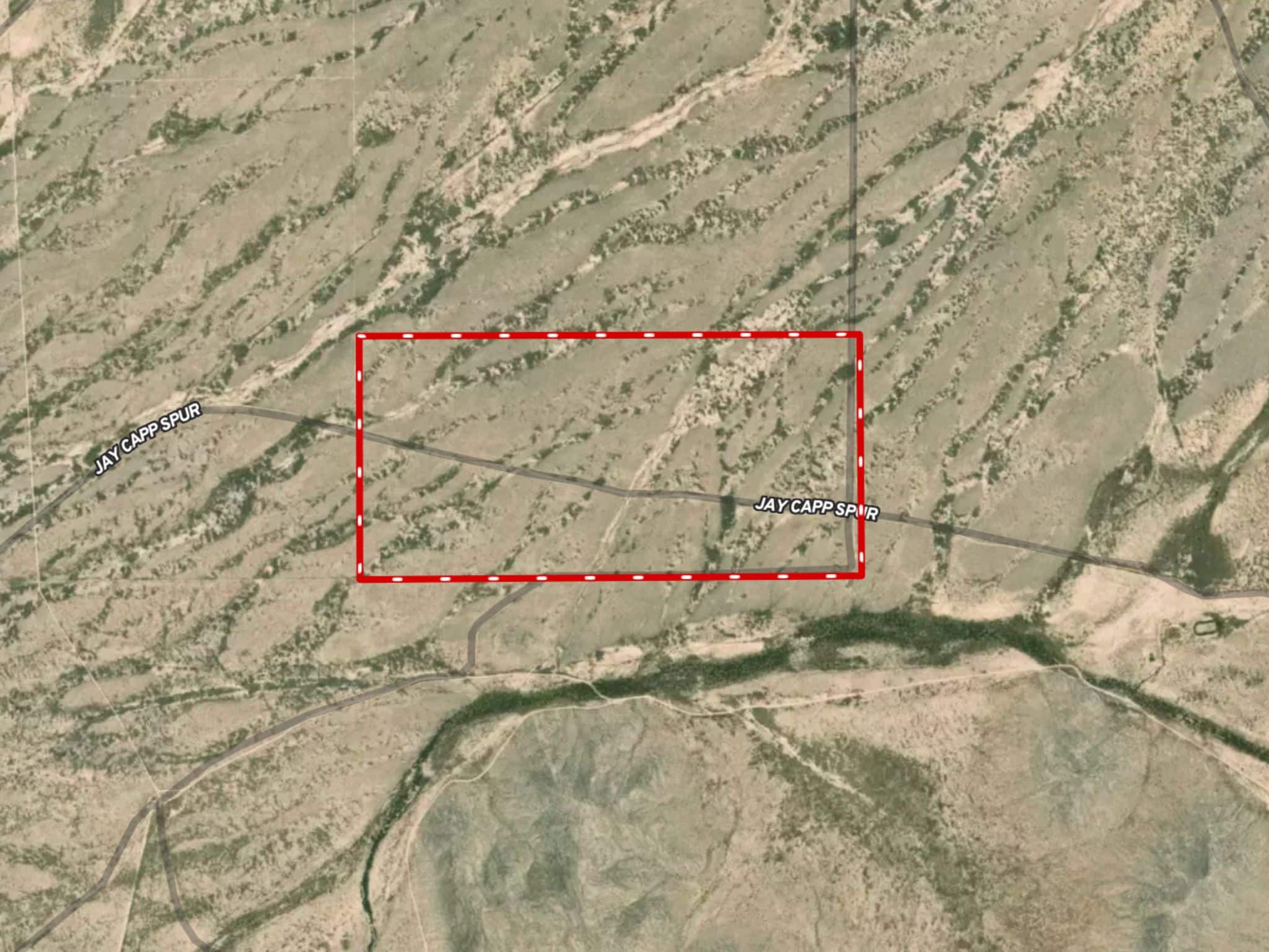
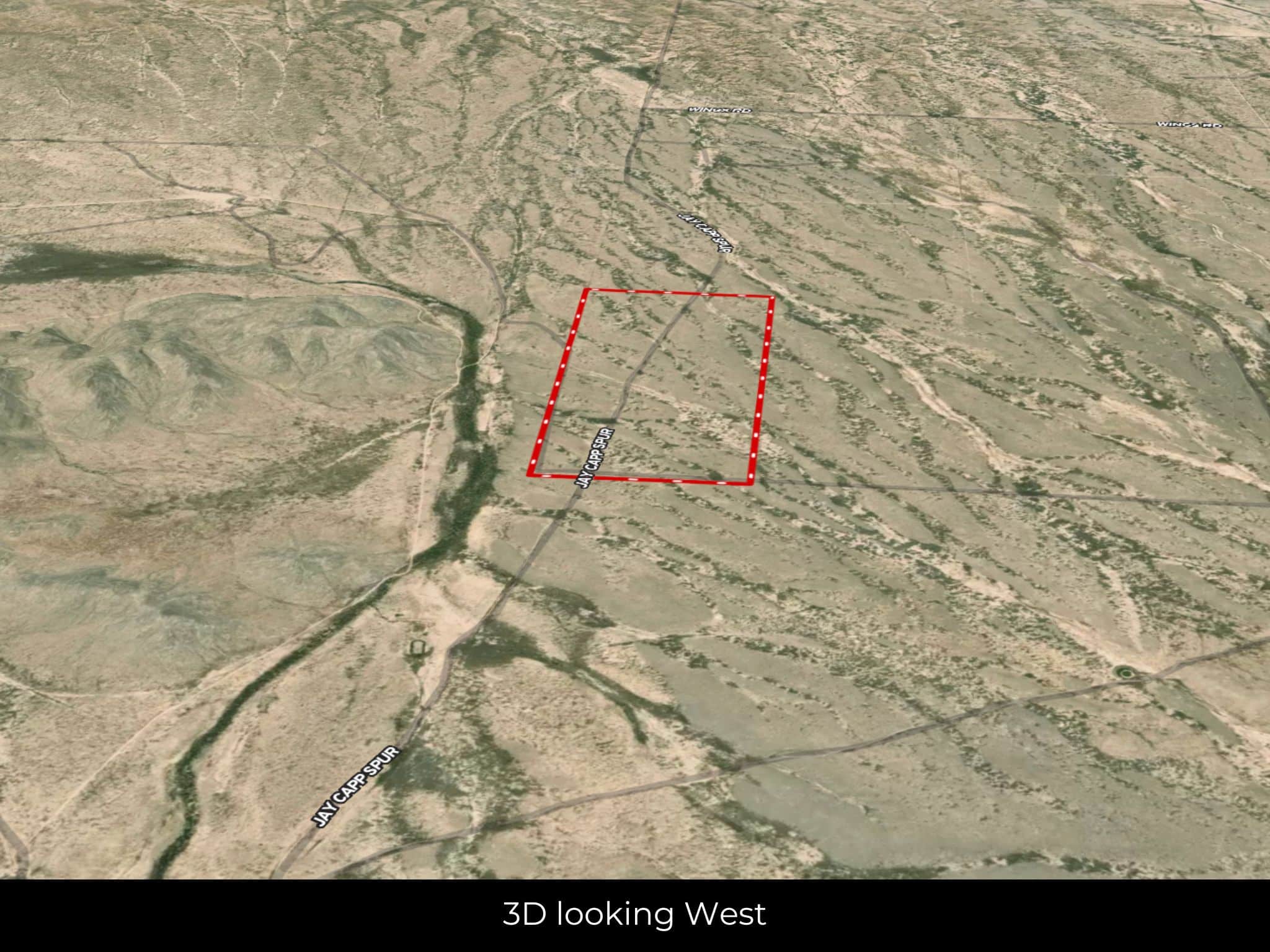


SOLD:🤠 320 Acres for Your West Texas Ranch
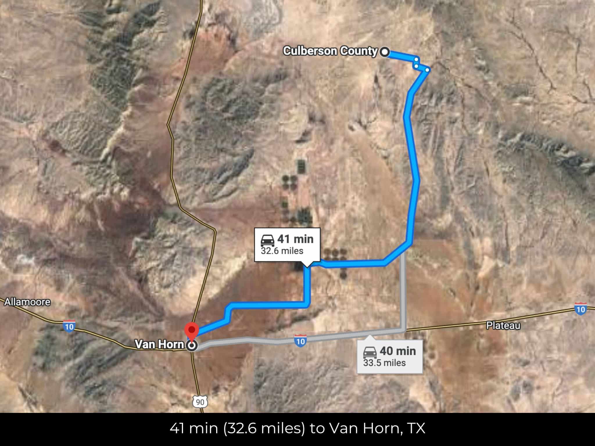
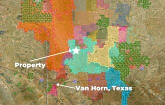
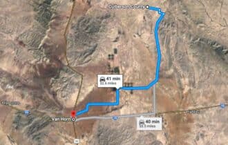
32 miles from Van Horn, TX
APN# 766
Payment
Payment Notes:
Warranty of Title: The property will be conveyed via a general warranty deed, guaranteeing you free and clear title to the property.
We accept Cash or 3rd party financing with a pre-approval letter.
We do not offer owner financing. No payment options are available for this property.
Paying a 3% Buyer's Agent Commission!
Property Description
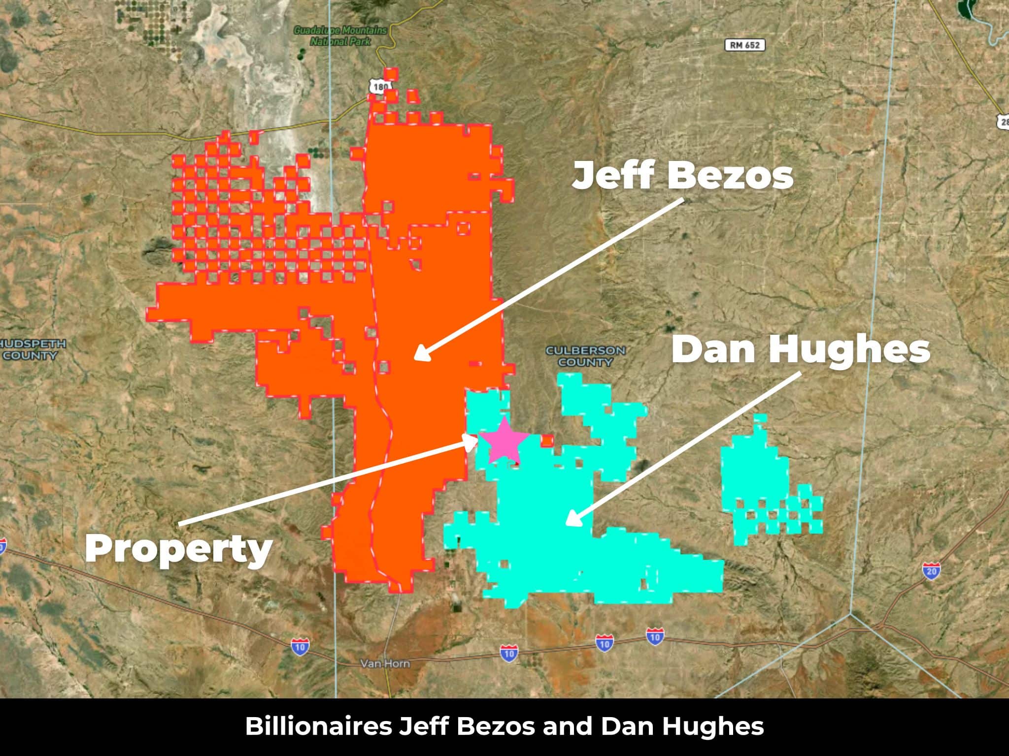
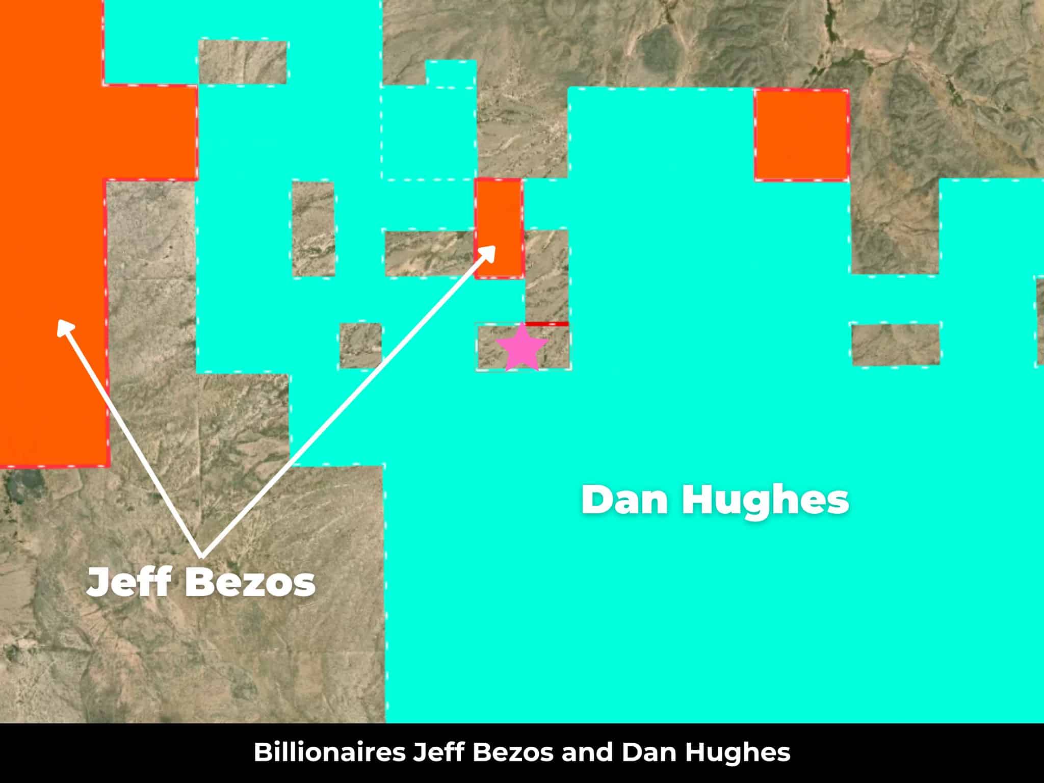
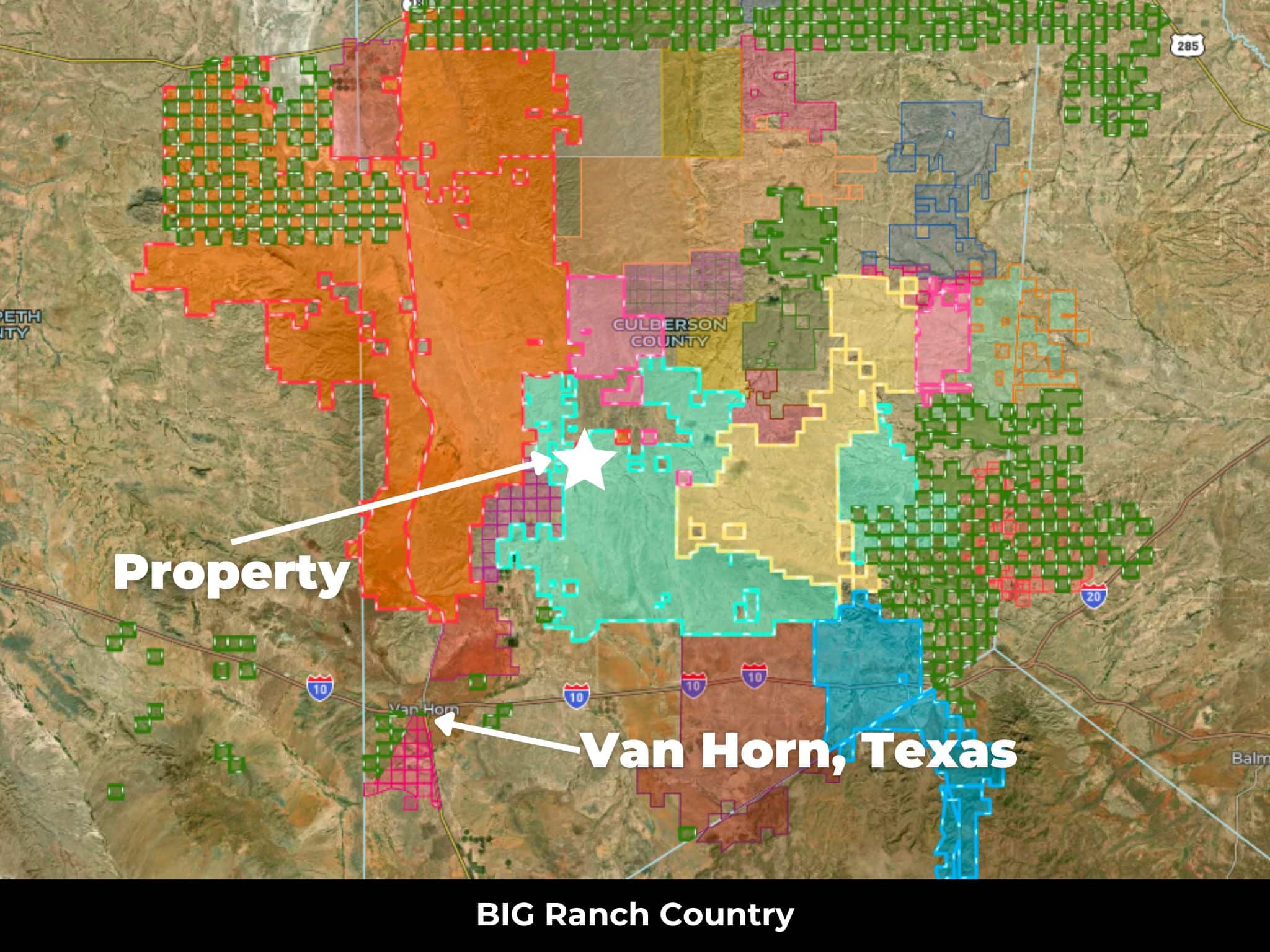
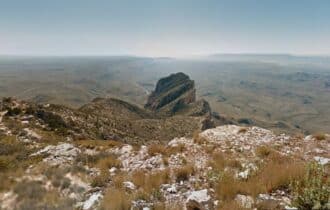
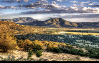
You can live your childhood dreams on this 320-acre Texas Ranch in Culberson County! Saddle up your horses and run your cattle on this little piece of paradise. With no neighbors in sight and lots of wide-open spaces, you can party like it is 1899. Ride from sunrise to sunset and never cross paths with anyone else. This area has no restrictions, so you can develop it any way you want. Tiny houses, mobile homes, and alternative builds are all welcome. This area is popular with hunters, and you could find a trophy-sized mule deer or pronghorn on your own land. You might even cross paths with the elusive desert bighorn sheep who live in the area.
Culberson County, Texas is quiet and remote, with just 2,400 residents. The county seat is Van Horn, an essential stop along I-10 for travelers between El Paso (120 miles to the west) and Odessa (160 miles to the northeast). You can find your basic supplies and services here, a school, and a hospital.
El Paso is your destination for shopping and entertainment, just two hours to the west. This is the sixth largest city in the state, and it has a unique culture unlike any other. Take a weekend trip here and explore the Franklin Mountains State Park hiking trails or stroll through the El Paso Municipal Rose Garden for a relaxing afternoon in one of the prettiest spots in the city. Attend a festival, visit a museum, and dine at one of the city’s unique restaurants where you can learn the important difference between Mexican and Tex-Mex food.
This large 320-acre property is a blank slate, ready for you to transform it into your West Texas ranch. At this price, it will not last long, so contact me today for more information.
Visiting the Property
You are welcome to visit the property at your convenience and anytime while it's still available. However, we HIGHLY recommend checking-in with us prior to visiting the property in case the property has gone under contract or already sold.
The interactive map above is generated with MapRight. MapRight has free apps for Apple IOS and Android that can be used to track your location and route throughout a property and provide driving directions.
MapRight for Apple –> Download App.
MapRight for Android –> Download App.
To launch the interactive map on your device, 1) install the free MapRight app using one of the two links above for Apple or Android, and 2) click the “View Full Screen” link (see above) in the embedded map on the property listing page.
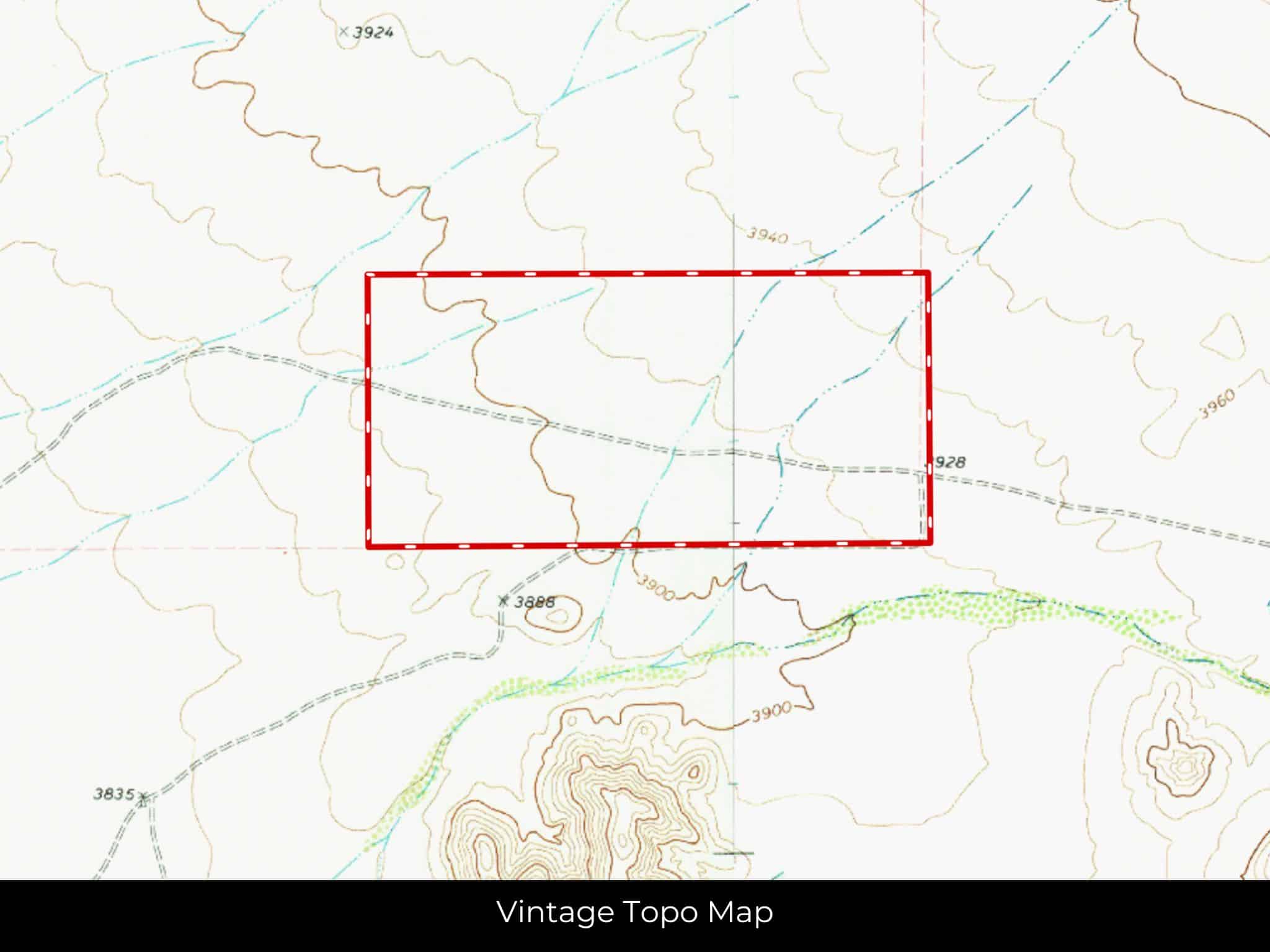
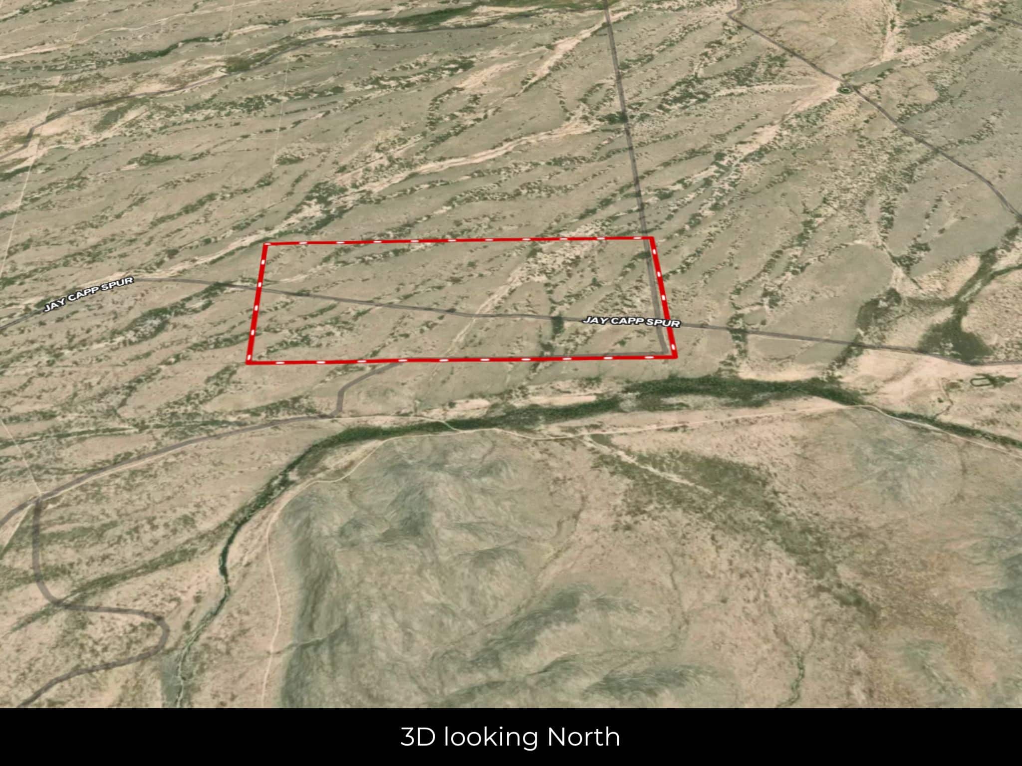
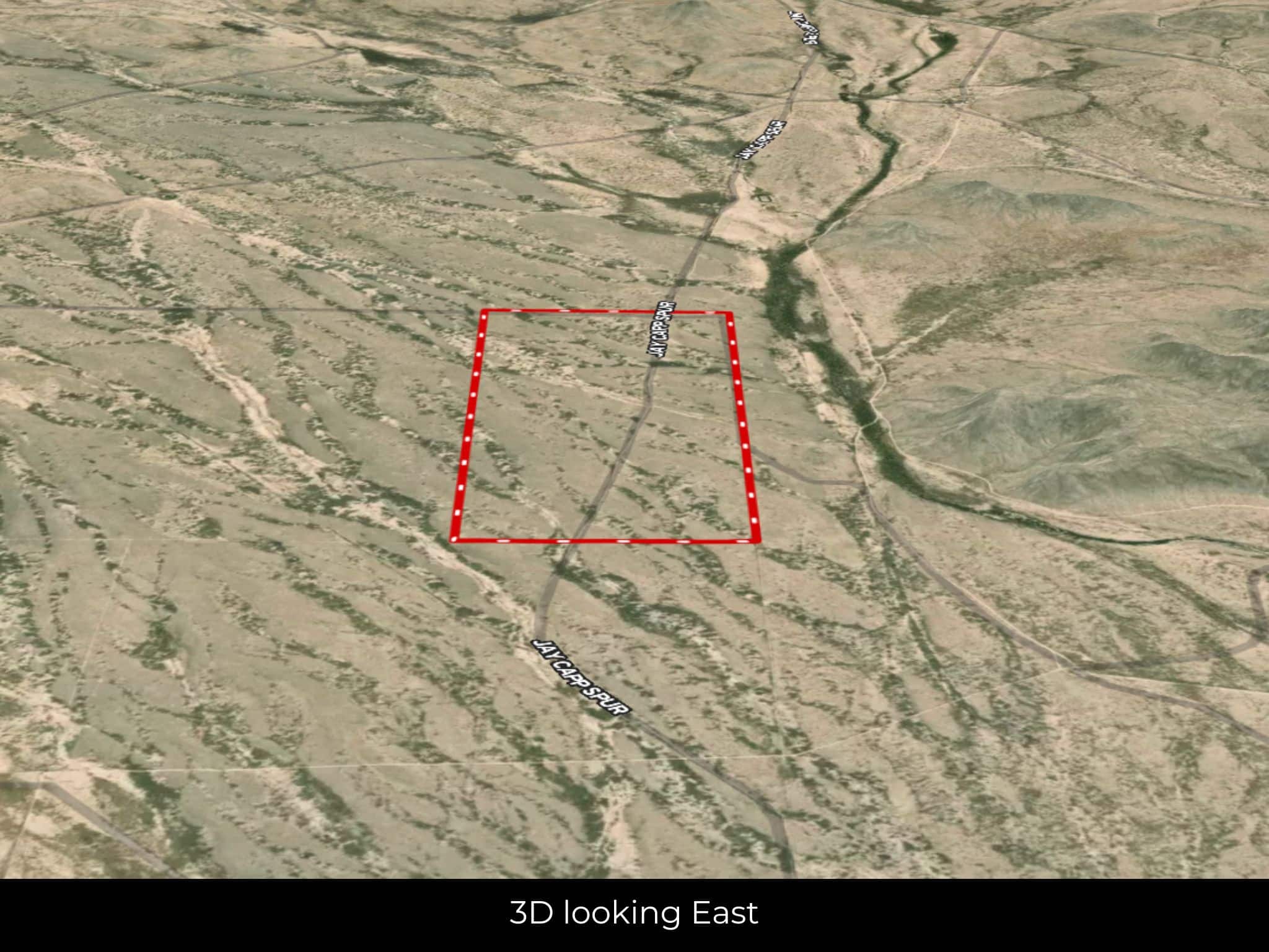
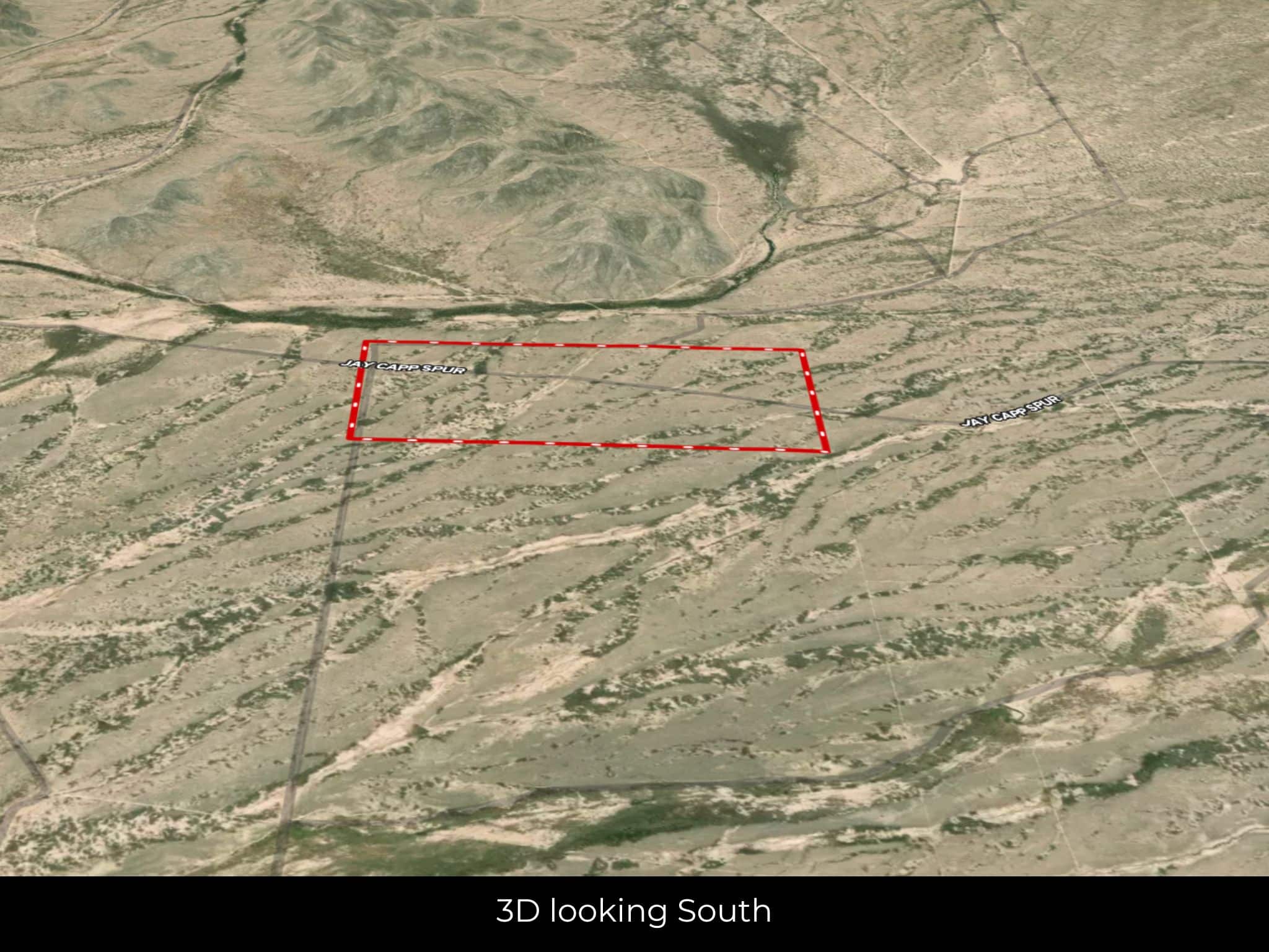
Property Information
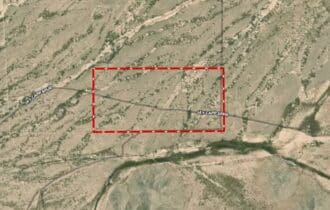
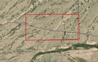
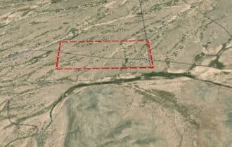
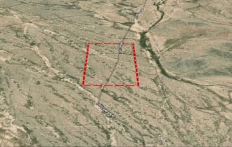
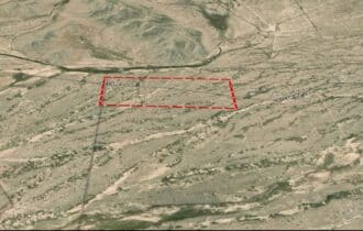
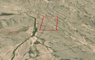
Parcel Size
320 Acres
State
Texas
County
Culberson
Nearest Cities
Van Horn, TX
Parcel #
766
Address
00 Jay Capp Spur, Van Horn, TX 79855
Legal Description
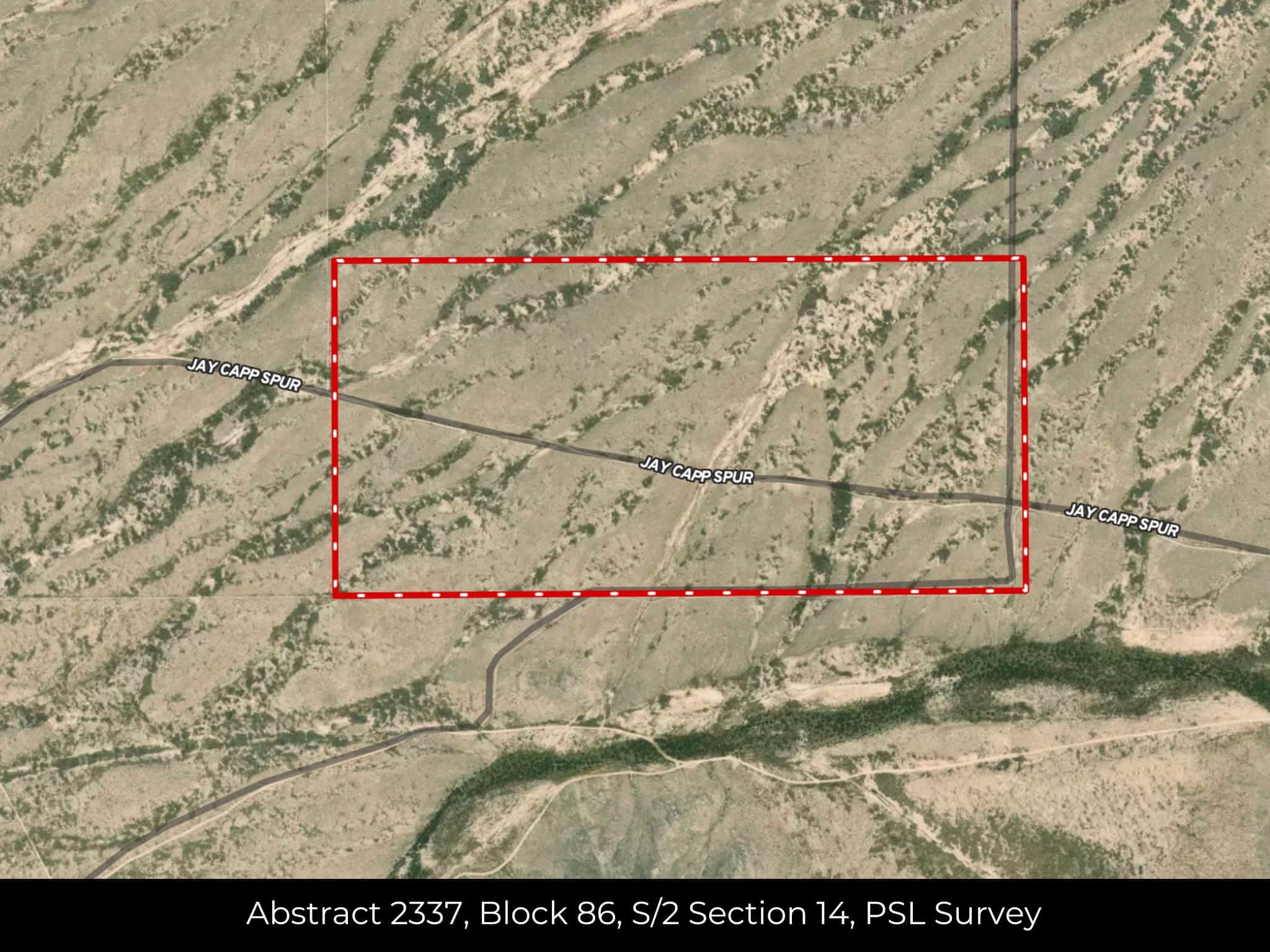
Abstract 2337, Block 86, S/2 Section 14, PSL Survey
Zip Code
79855
Annual Property Taxes
$3,260
Ag Exemption
No
HOA
None
HOA per Year
None
Survey Available
None
School District
Culberson County Allamoore Independent School District
Liens and Back Taxes
None!
Source Deed
Sent for Filing.
Title Status
Free & Clear!
Outgoing Conveyance
Warranty Deed
Property Features
Acres
320
Dimension
5377.43 feetX2653.97 feet
County
Culberson
Access
Dirt Road
Power
Alternatives
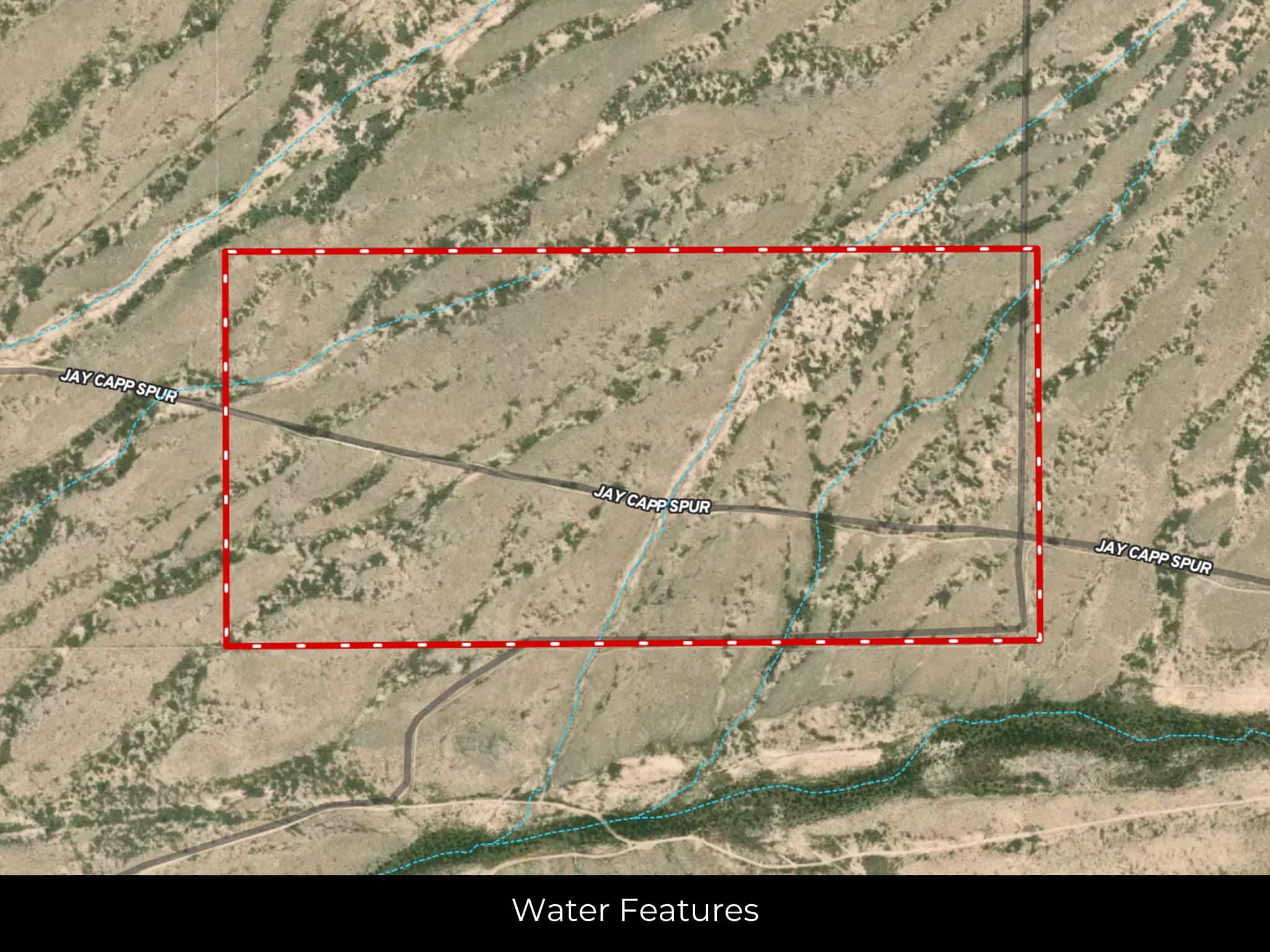
Water
Alternatives
Heating
None
Coordinates
31.3038, -104.6278
Zoning
No Restrictions
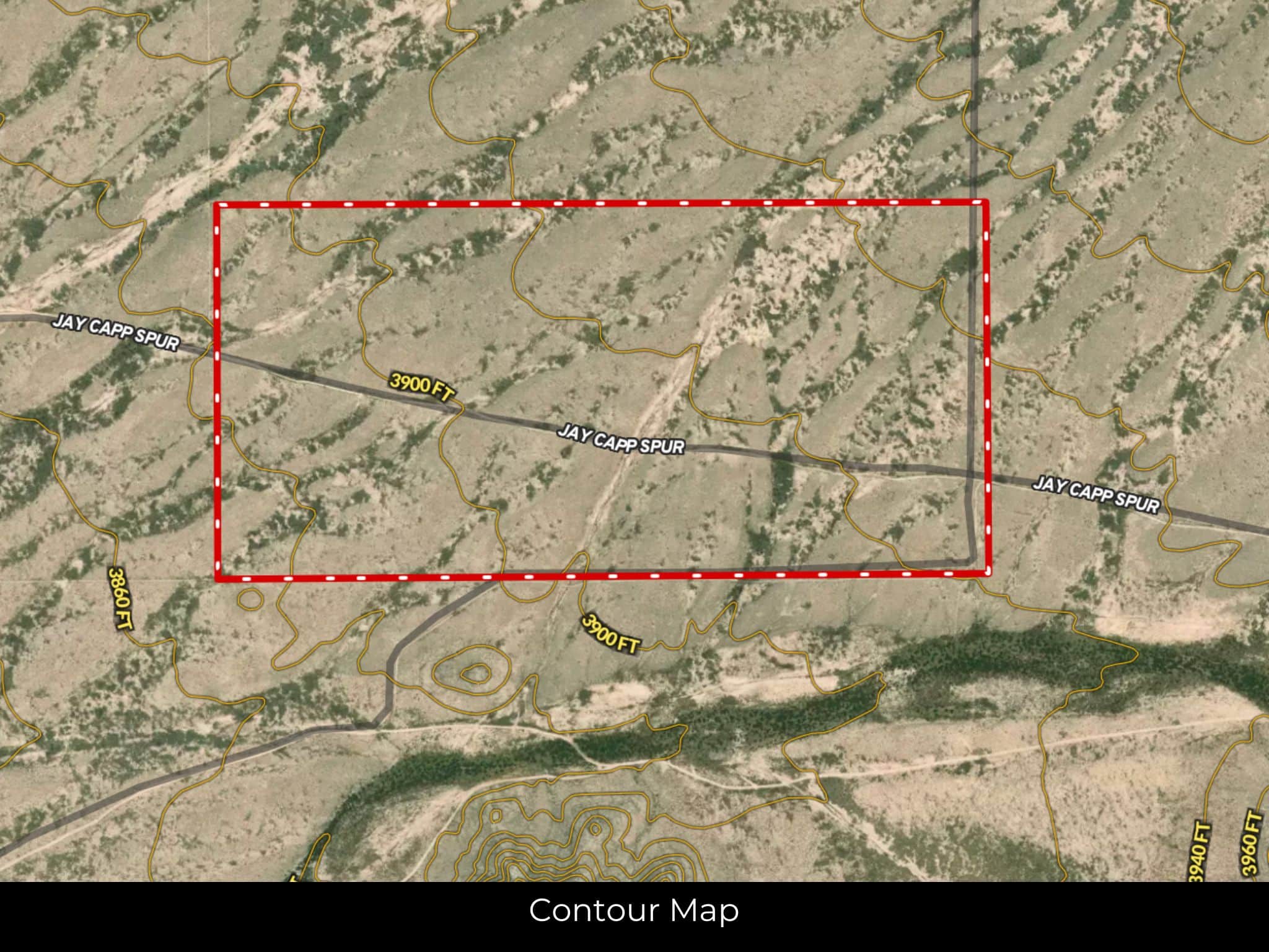
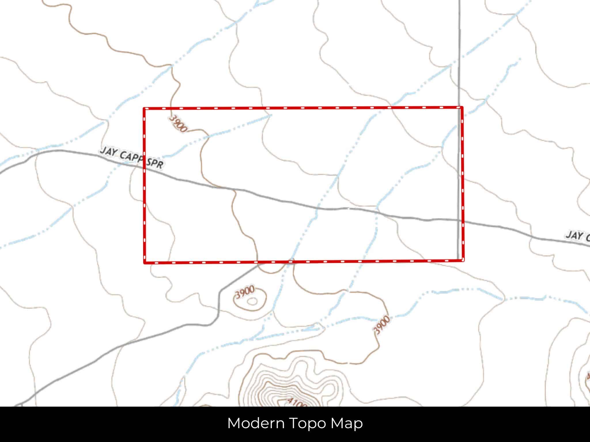
Elevation
3960 Ft.
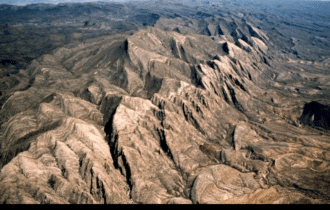
Terrain
Slope
Floodplain
No
Duplexes
Yes
Mobiles
Yes
Tiny Homes
Yes
Barndominiums
Yes
RV's
Yes
Camping
Yes
Utilities
🔌 Power: Solar, wind, propane, or alternative energy source.
💧 Water: Water well, collection, hauling/delivery, or alternative.
🚽 Sewer: Septic or alternative sewer system.
☎️ Phone: cellular, VOIP (see internet below), and satellite phone through Iridium, Globalstar, or Inmarsat.
🌐 Internet: satellite internet through Starlink, HughesNet, or ViaSat.
📺 Cable: satellite cable through Dish or DirectTV.
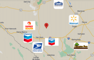
Nearby Cities and Attractions
39 min (31.7 miles) to Culberson Hospital, Van Horn, TX
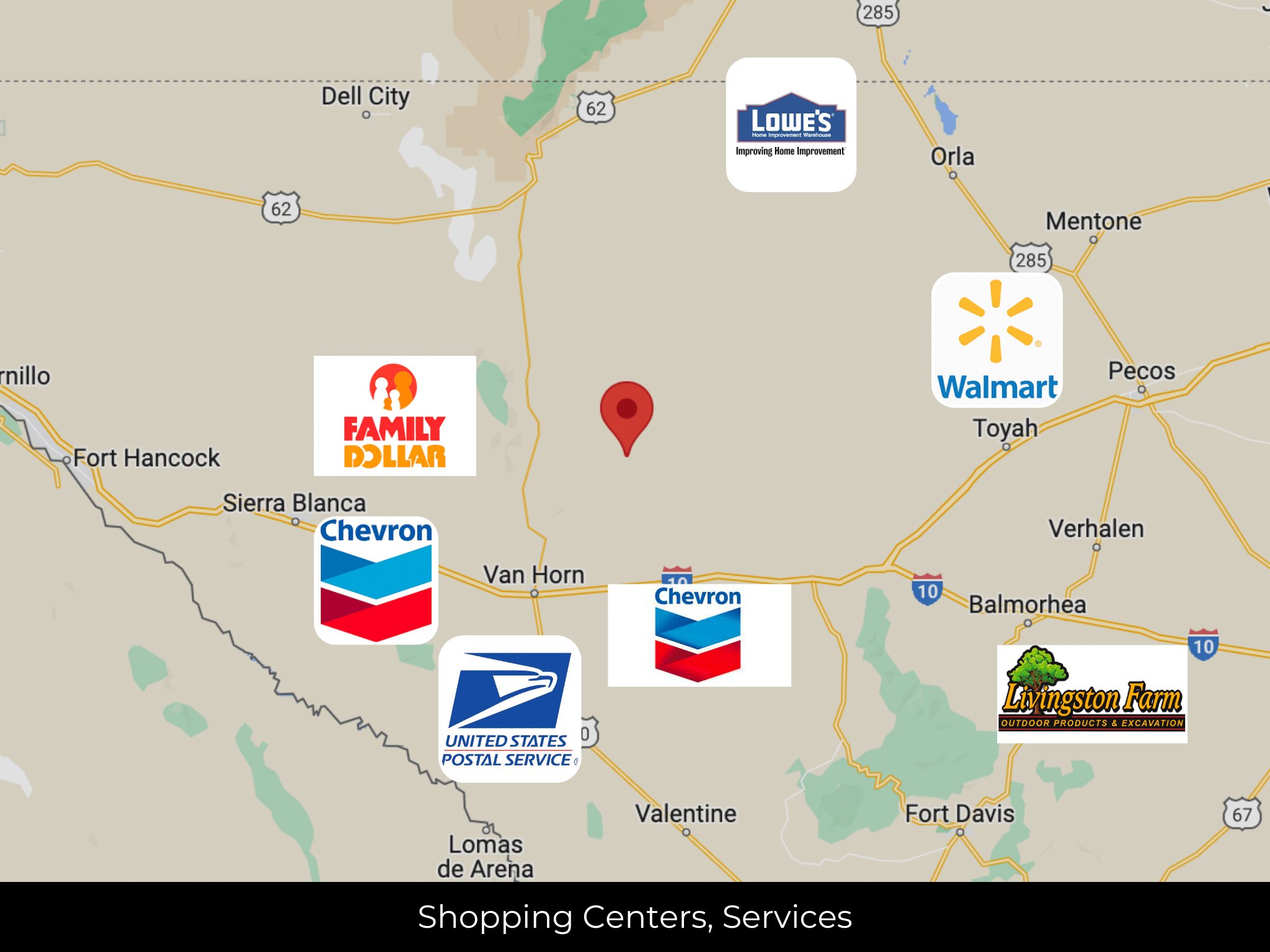
40 min (32.8 miles) to Family Dollar, Van Horn, TX
41 min (33.0 miles) to United States Postal Service, Van Horn, TX
44 min (34.0 miles) to Porter's Grocery in Van Horn
45 min (34.3 miles) to Chevron Van Horn, Van Horn, TX
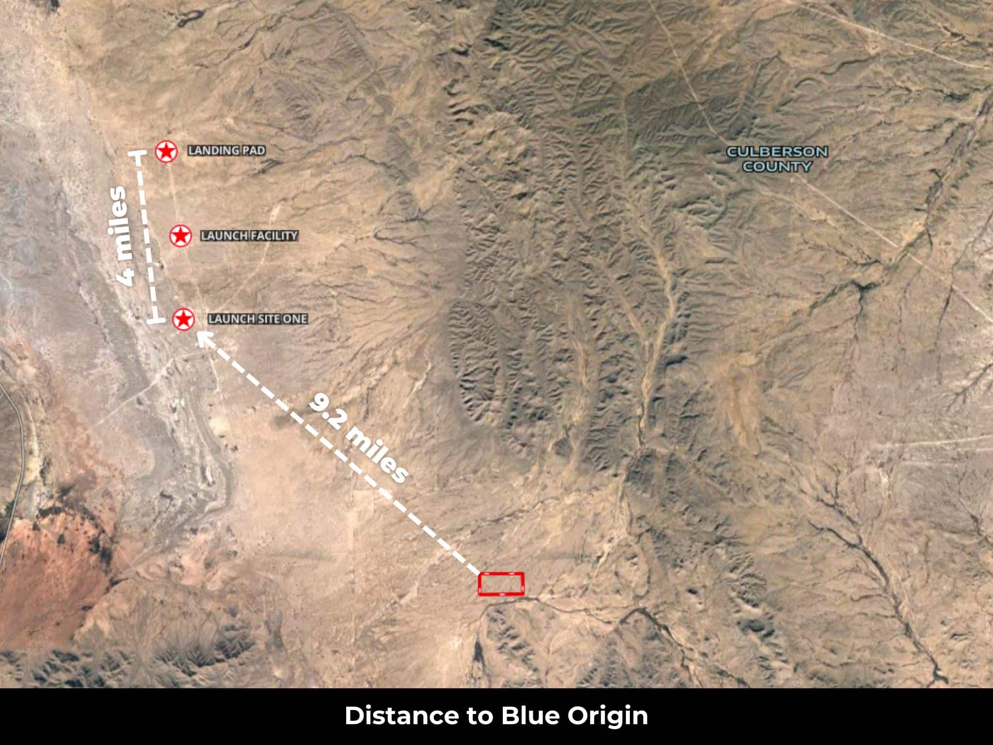
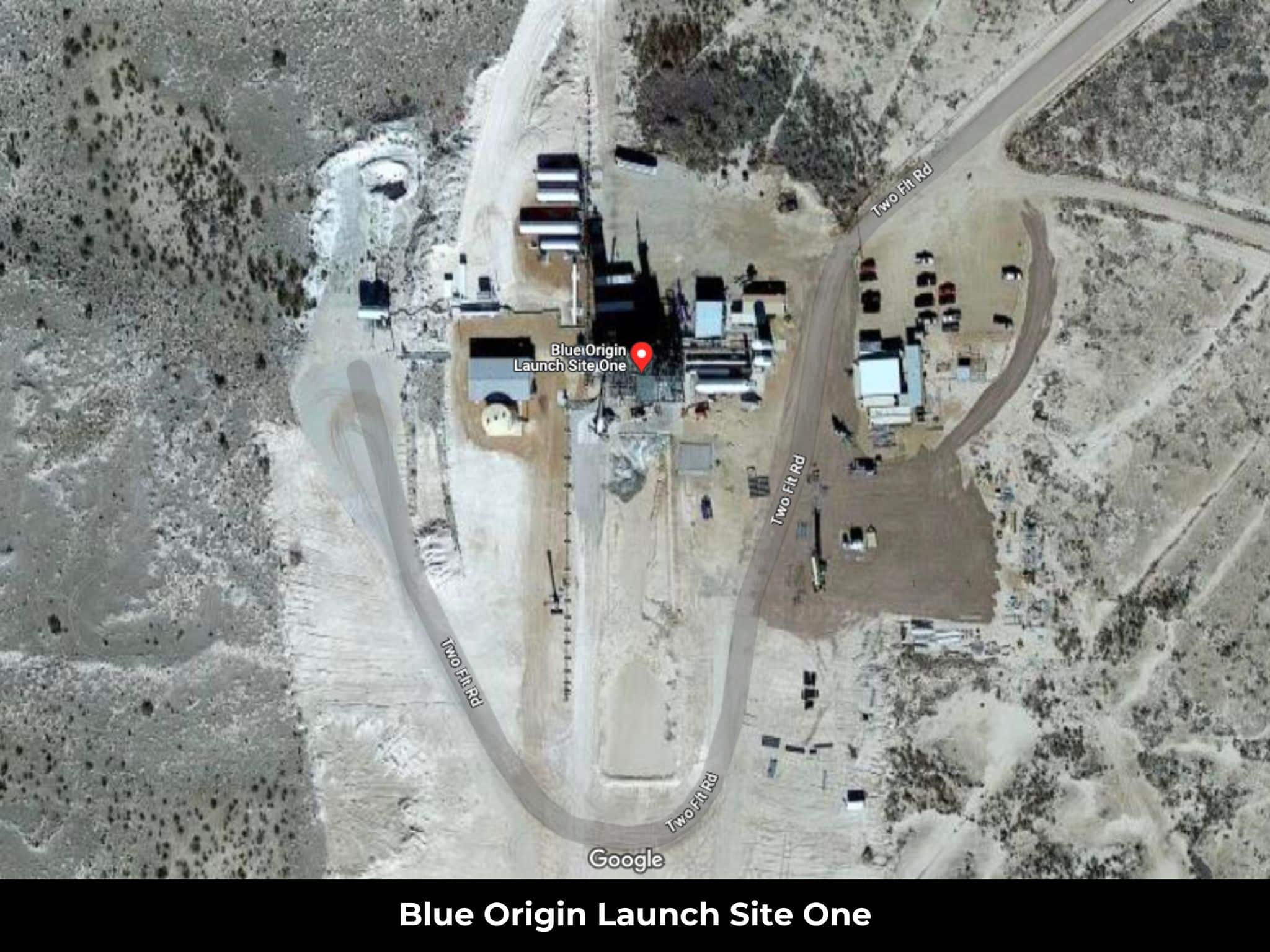
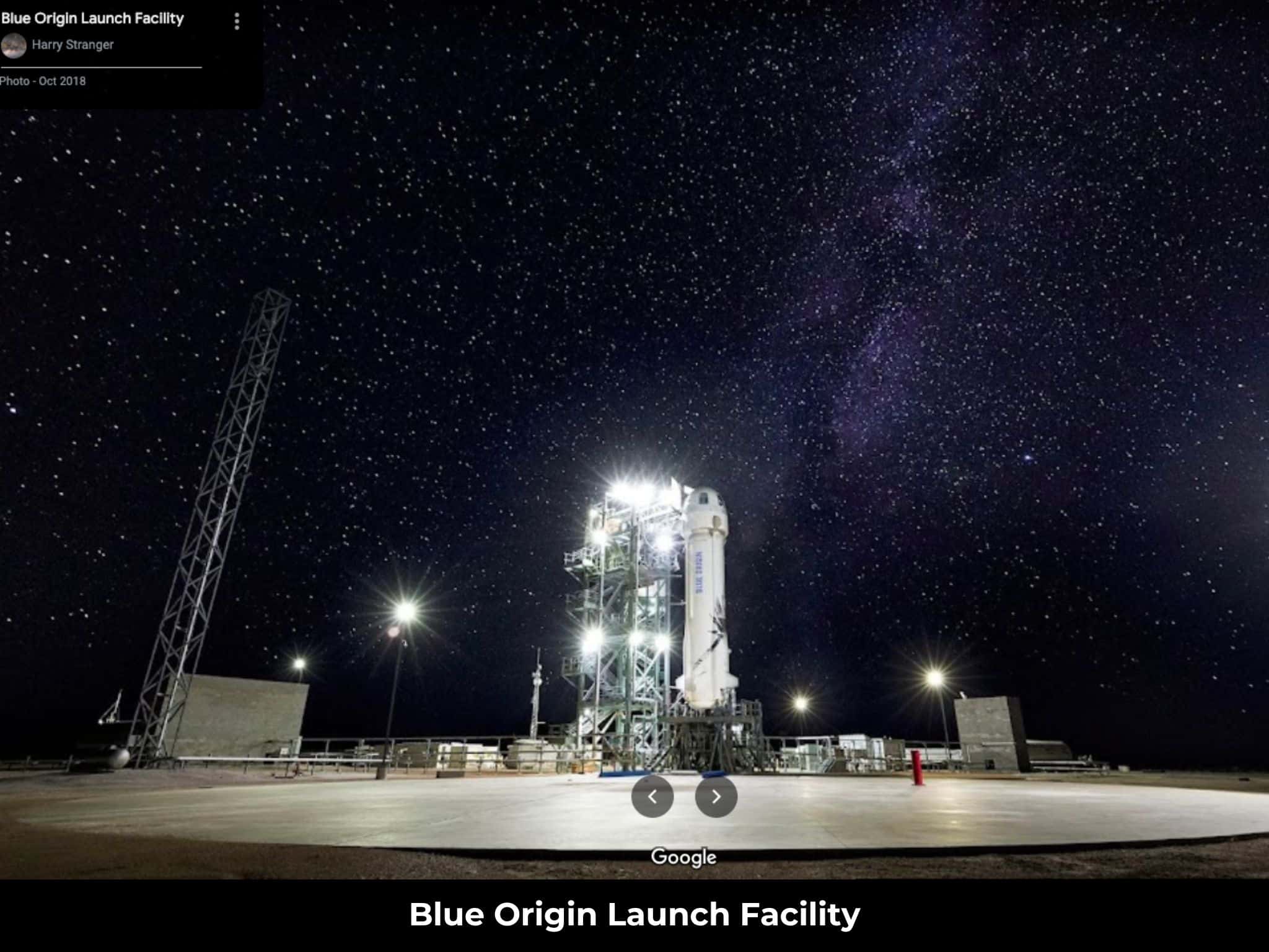
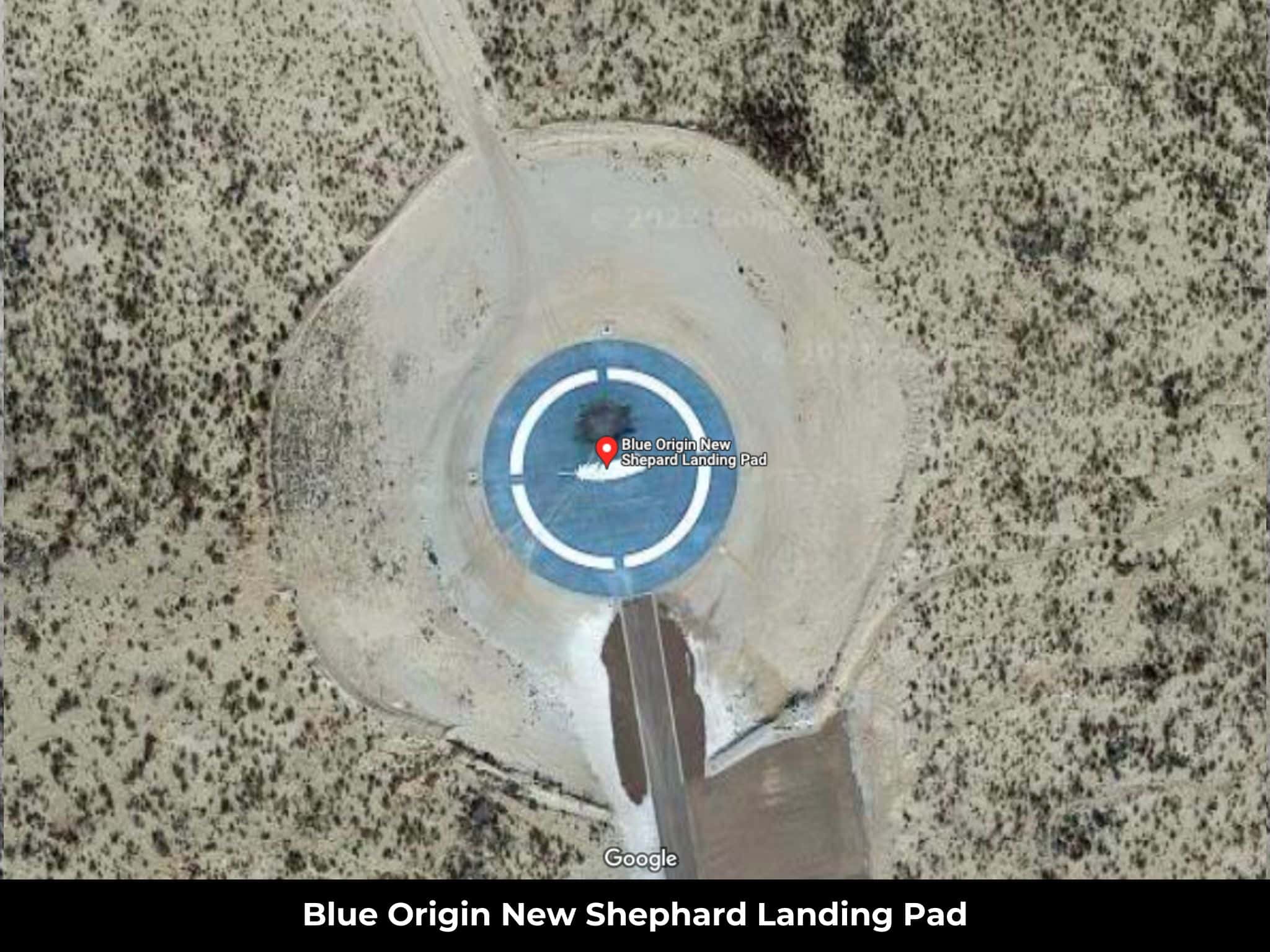
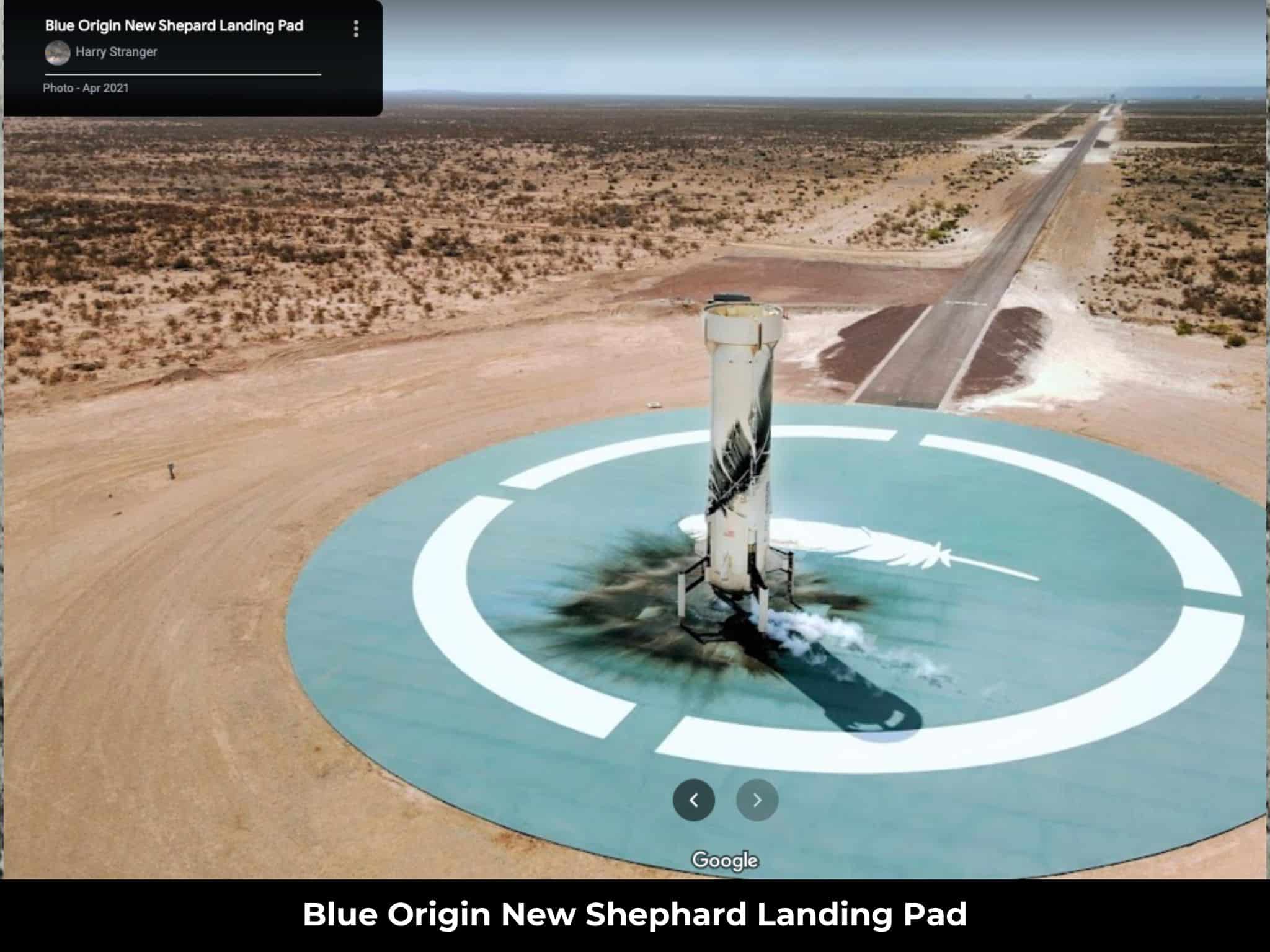
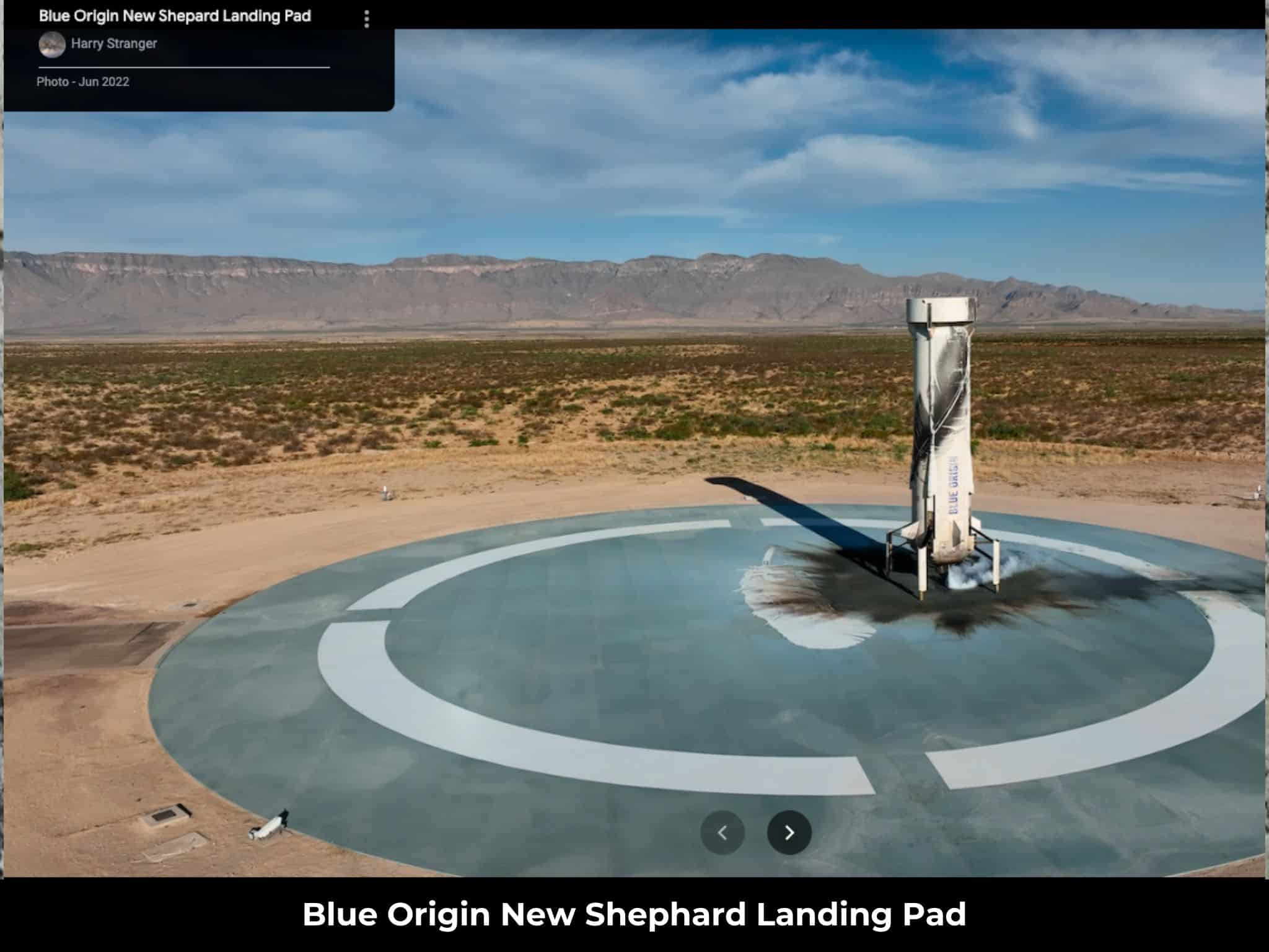
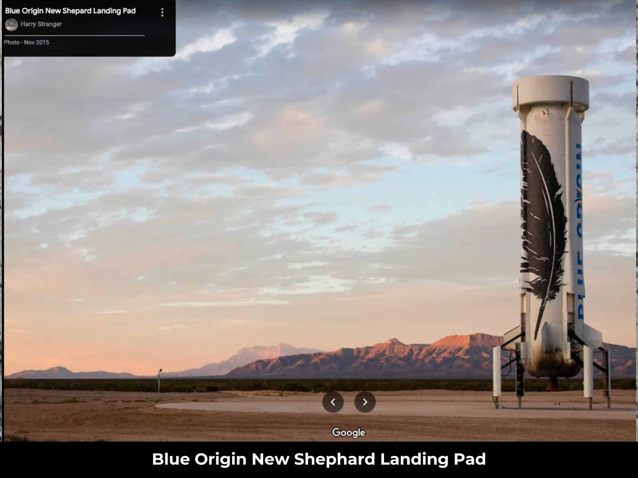
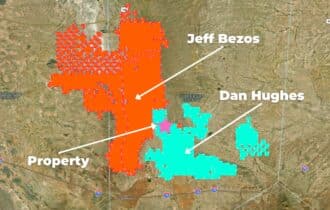
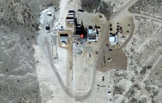
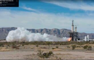
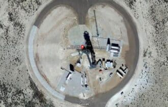
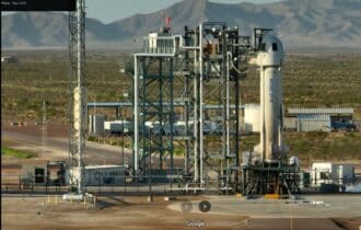
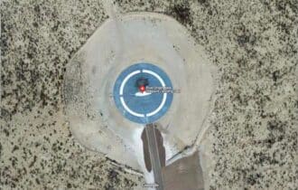
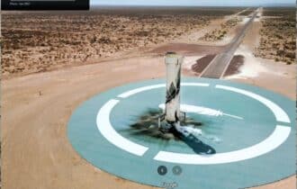
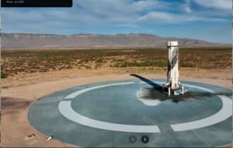
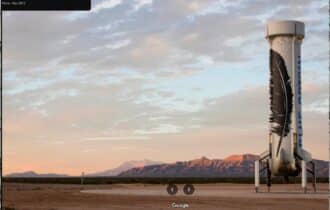
1 hr 9 min (61.3 miles) to Blue Origin
1 hr 32 min (96.6 miles) to Walmart, Pecos, TX
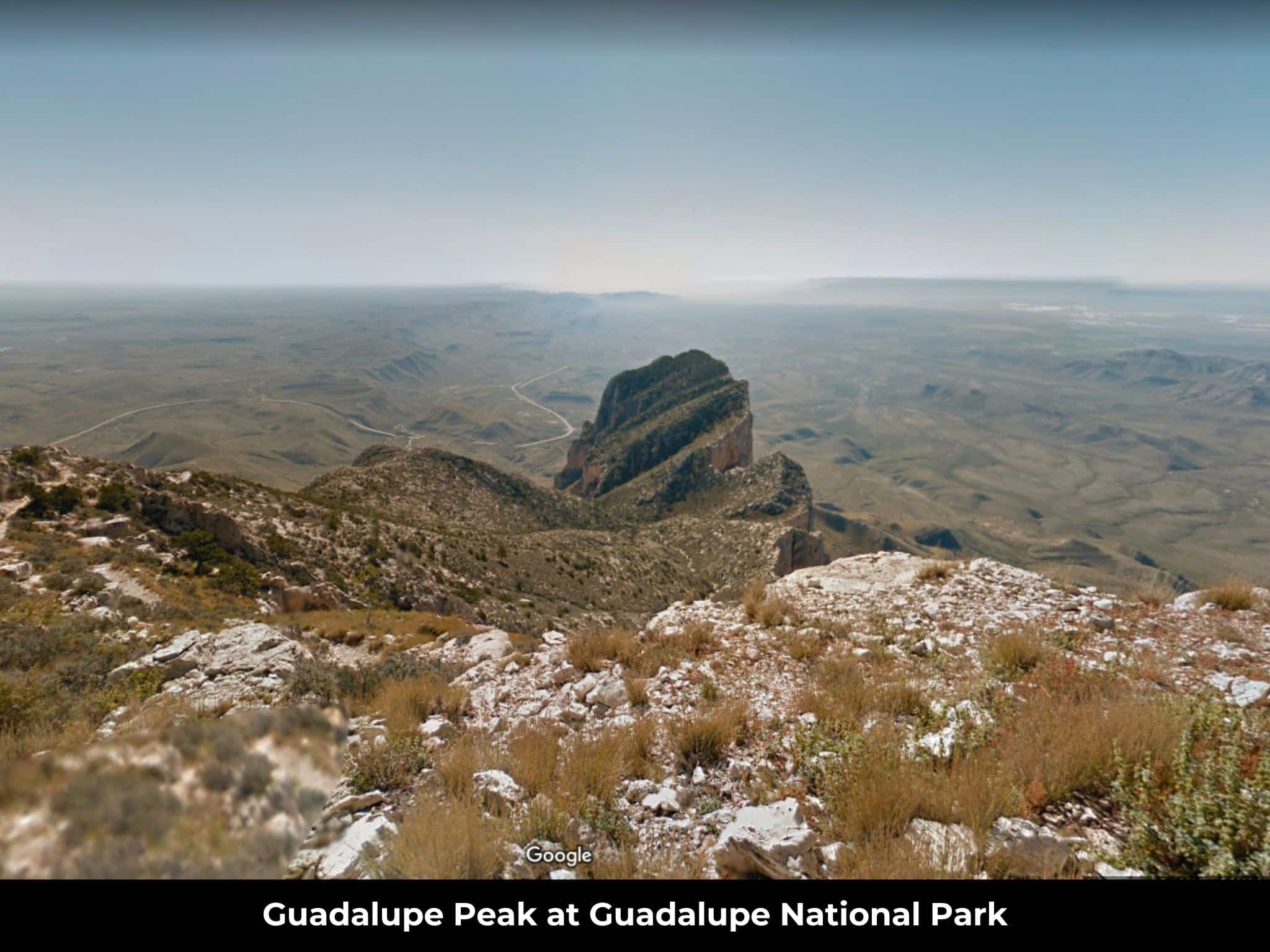
1 hr 37 min (95.9 miles) to Guadalupe Mountains National Park
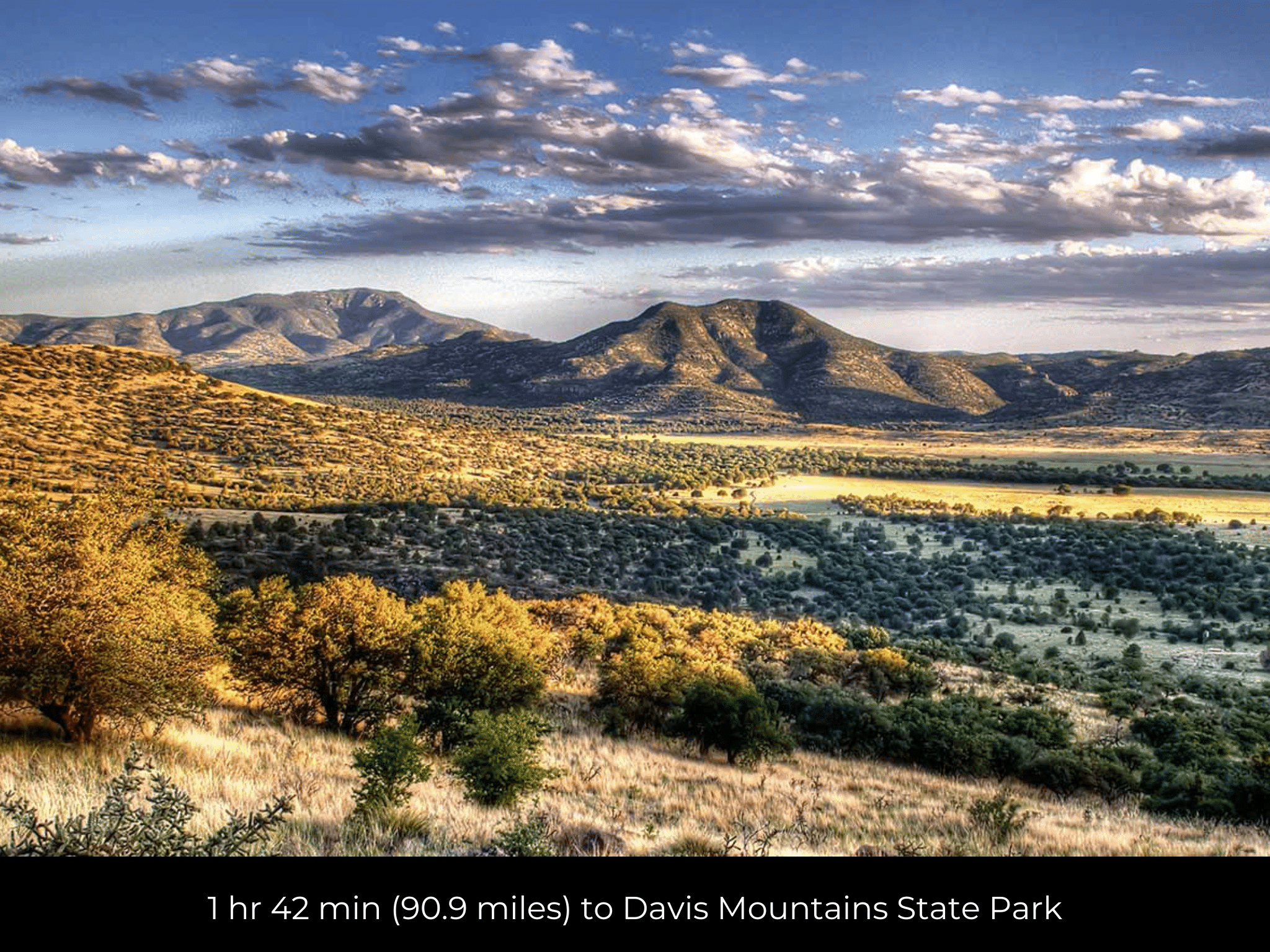
1 hr 42 min (90.9 miles) t Davis Mountains State Park
1 hr 50 min (106 miles) to Livingston Ranch Supplies, Marfa, TX
1 hr 50 min (106 miles) to Marfa, TX
1 hr 50 min (95.8 miles) to Fort Davis, TX
1 hr 51 min (106 miles) to The Chinati Foundation in Marfa
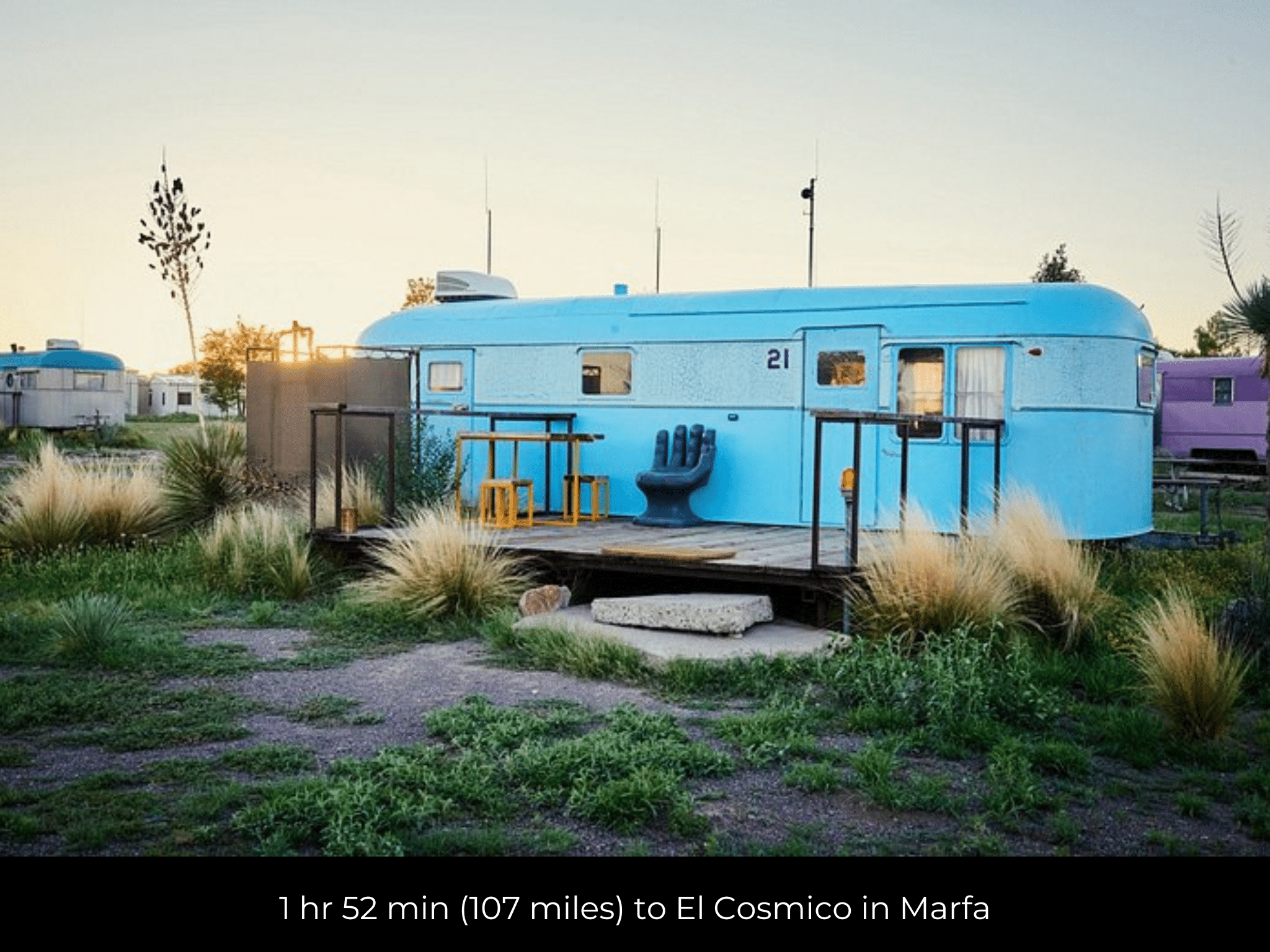
1 hr 52 min (107 miles) to El Cosmico in Marfa
2 hr 18 min (132 miles) to Alpine, TX
2 hr 26 min (154 miles) to El Paso, TX
2 hr 33 min (150 miles) Carlsbad, NM
2 hr 37 min (152 miles) to Lowe's Home Improvement, NM
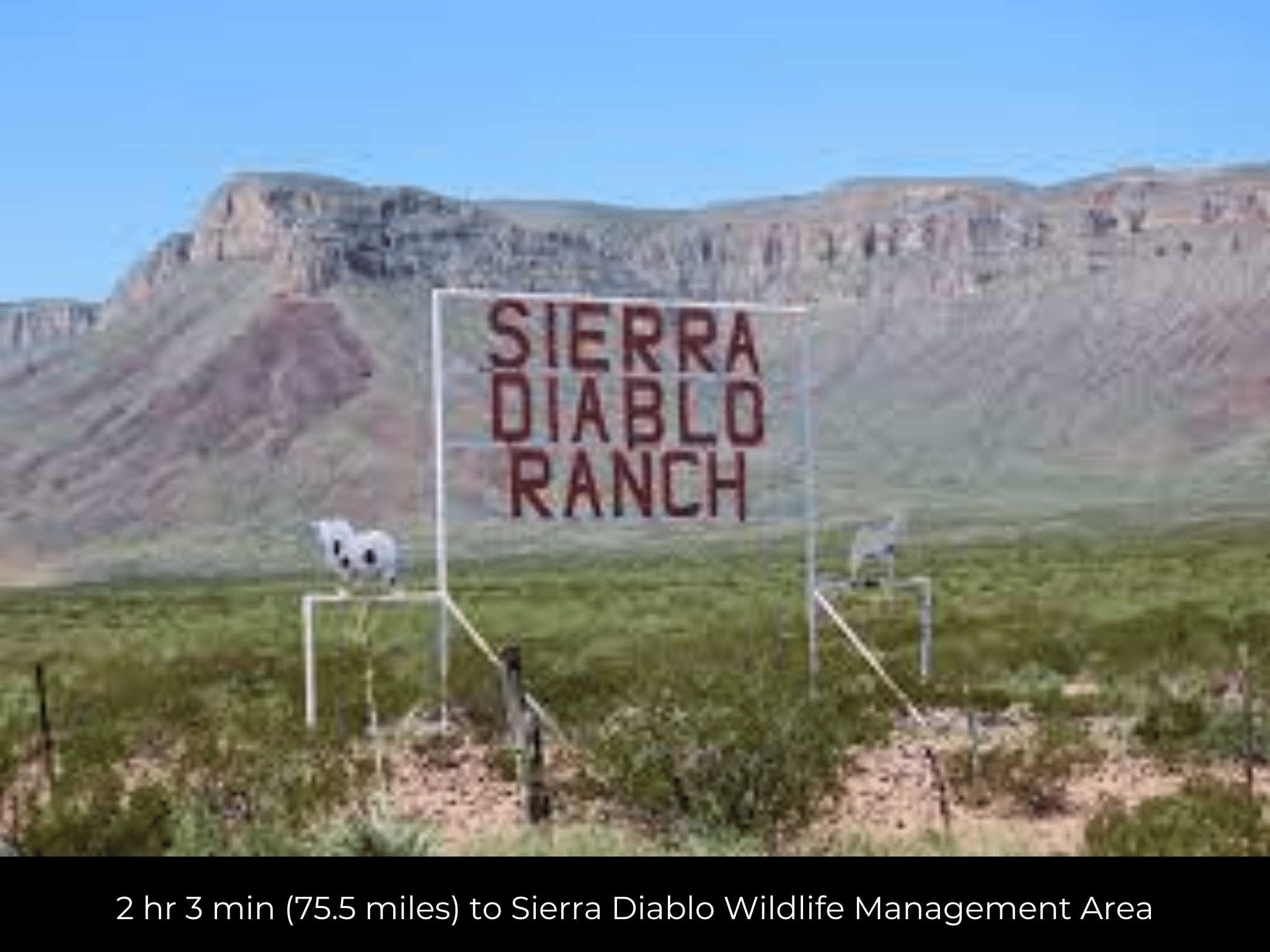
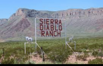
2 hr 3 min (75.5 miles) to Sierra Diablo Wildlife Management Area
3 hr (191 miles) to Midland, TX
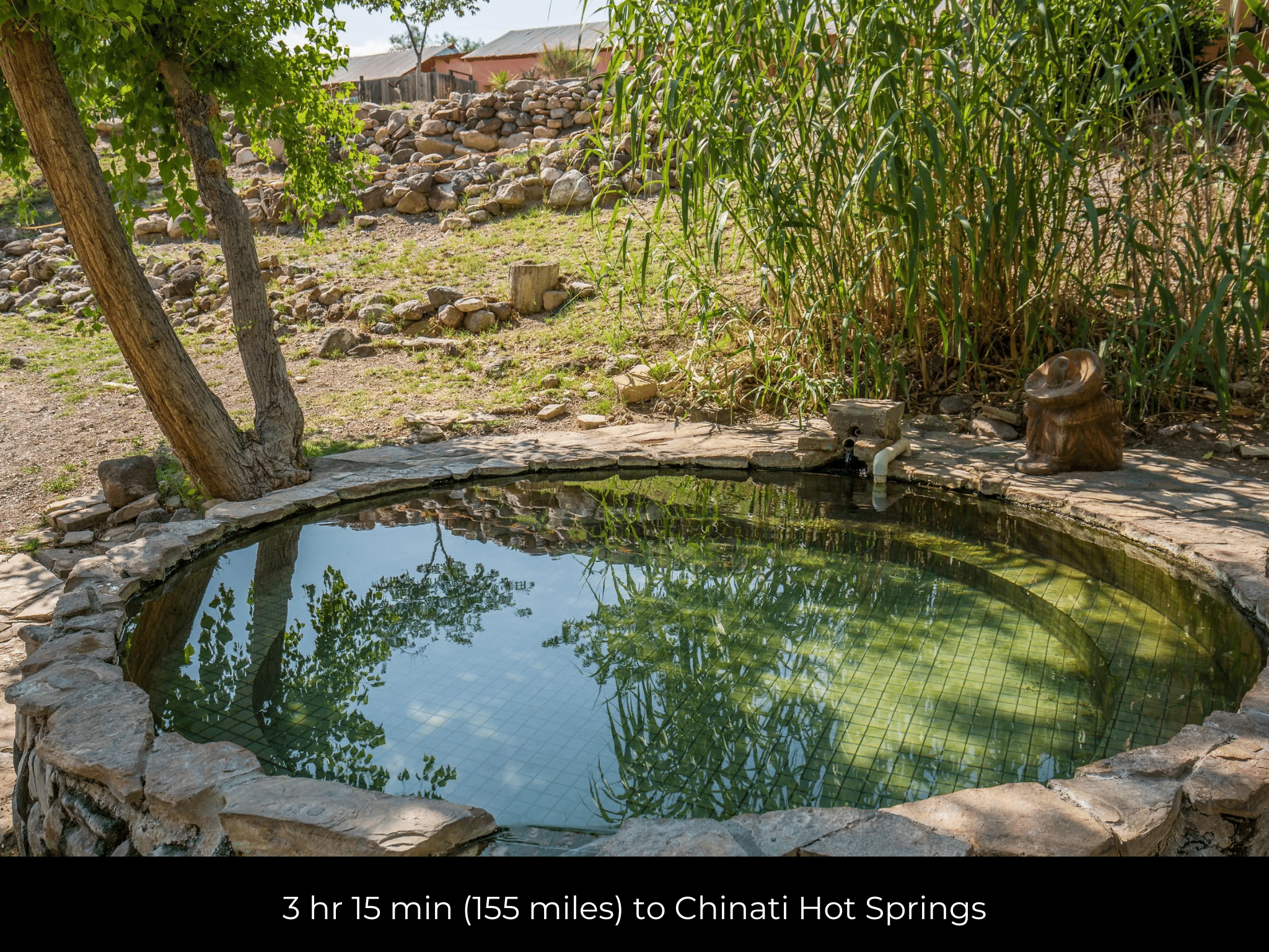
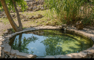
3 hr 15 min (155 miles) to Chinati Hot Springs
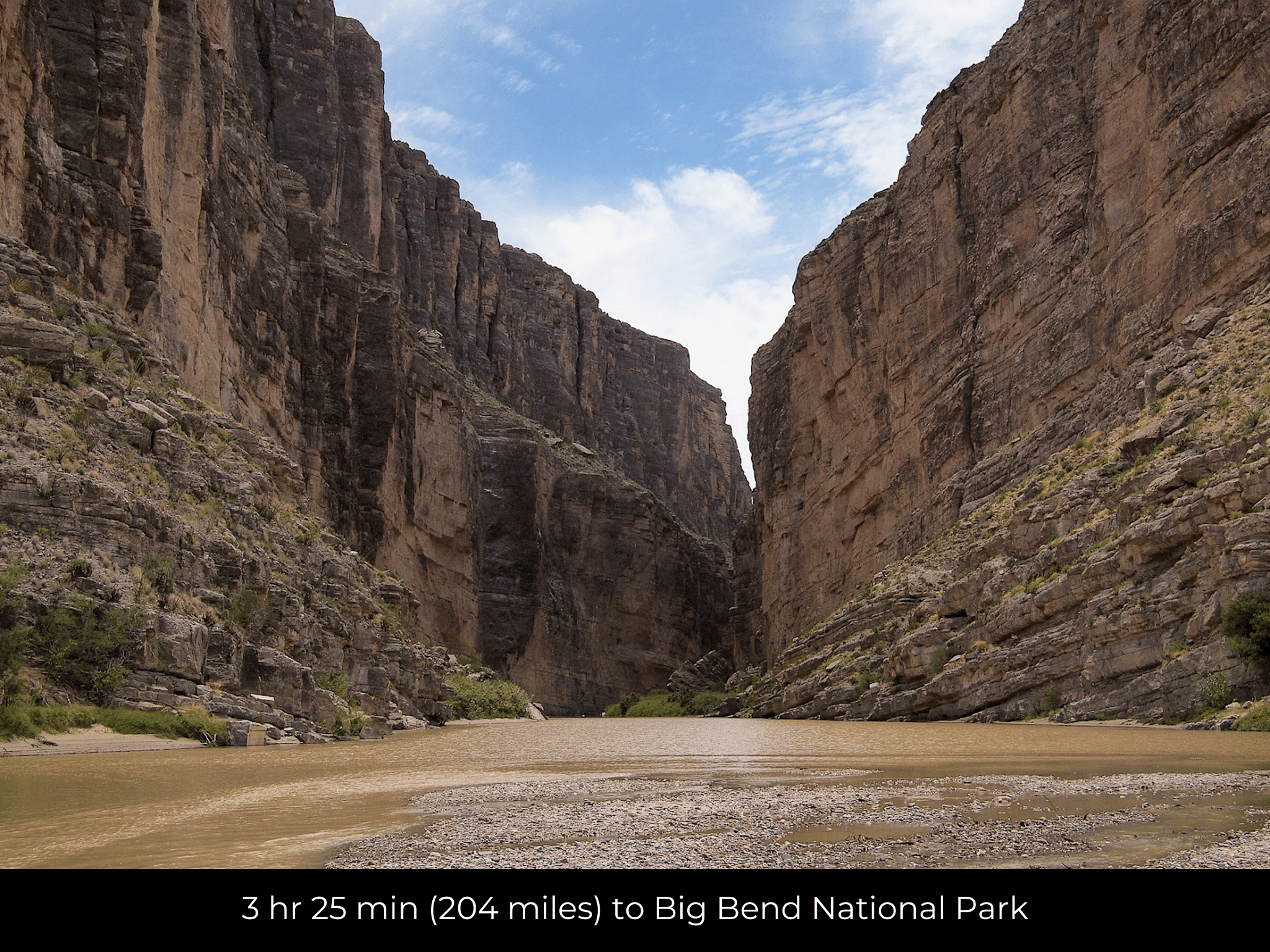
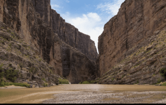
3 hr 25 min (204 miles) to Big Bend National Park
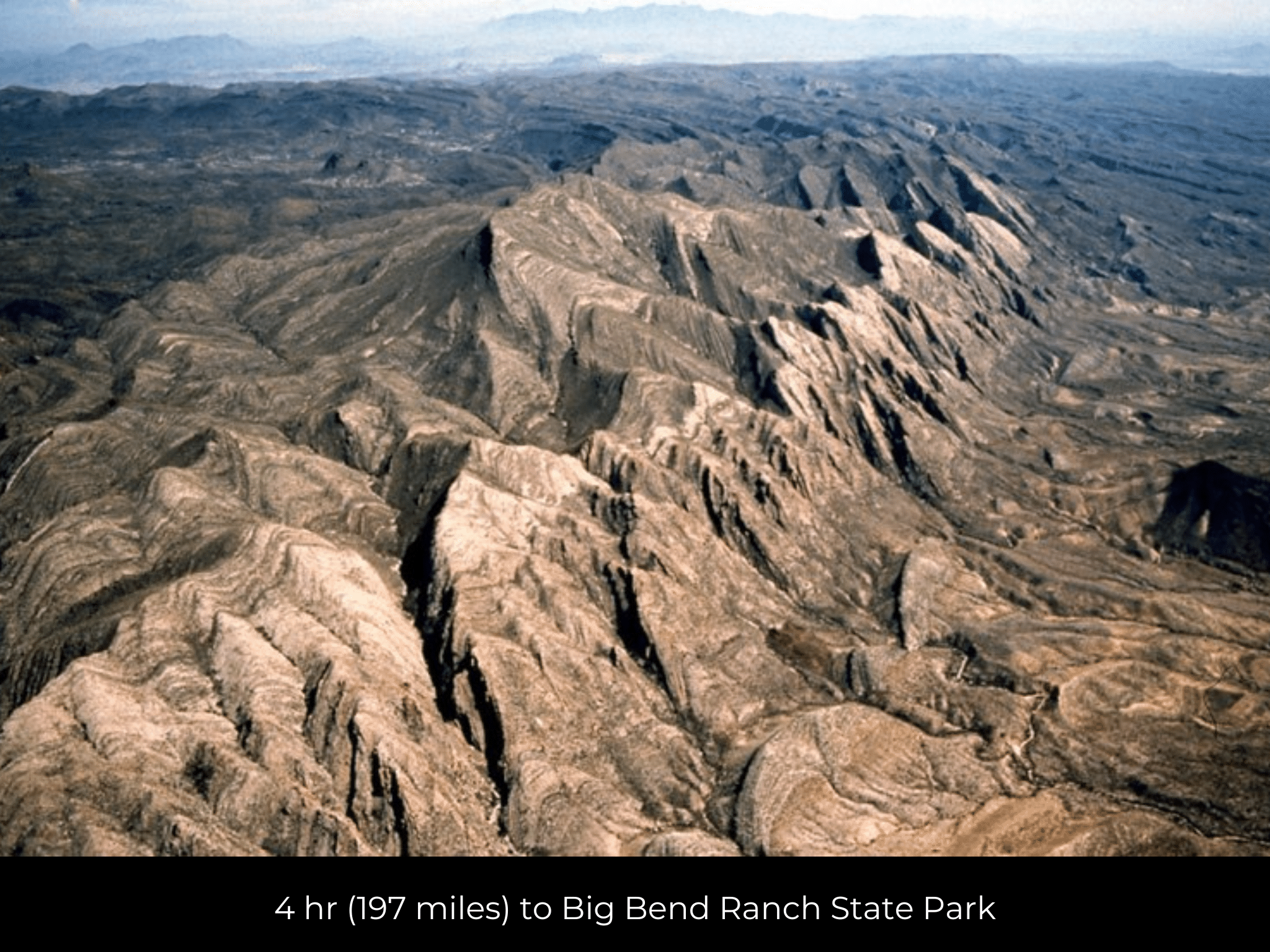
4 hr (197 miles) to Big Bend Ranch State Park
County Contacts
Culberson County Assessor Jose Morales 432-283-2130 (website)
Culberson County Treasurer Adrian Hinojos 432-283-1419 (website)
Culberson County Clerk Linda McDonald 432-283-2058 (website)
Culberson County CAD (website)
Culberson County GIS (website)
Closing Costs and Fees
$299
Document Prep Fee
Buyer will pay a $299 document preparation fee, which includes all postage and county recording fees. Seller will warrant title to the property.
$0
In-House Closing Fee
There will be no additional fees or expenses for an in-house closing. We will close in 14 days or less. This is the fastest, easiest, and cheapest way to close.
$1,500+
Title Company Fees*
Title Company costs are typically 2-5% of the purchase price with a minimum fee of around $1,500. Many states have legislated, standard insurance rates and other fees vary by the title company.
* If Buyer elects to close through a third-party title company, Buyer will bear all closing costs and expenses, including Seller’s title policy and Seller's escrow fees. Closing through a title company typically takes 30-45 days, depending on the county, title company, and transaction activity in the area.
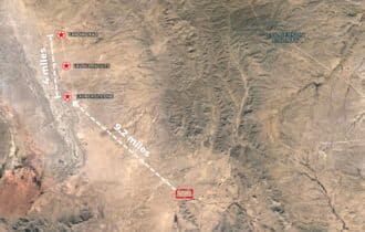
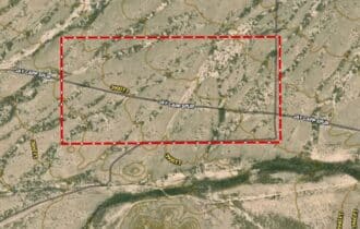
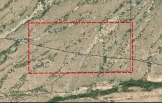
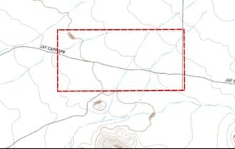
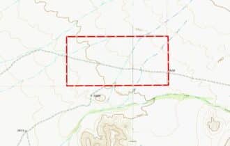
Driving Directions and GPS Coordinates
🚗 Driving Directions: Head east on Jay Capp Spur 2.0 mi, Turn right 0.4 mi, Turn left 0.7 mi, Sharp right onto FM 2185 W 28.7 m, Turn left onto TX-54 S/La Caverna St
📍 Northwest Corner: 31.3066, -104.6363 (Google Map)
📍 Northeast Corner: 31.3065, -104.6202 (Google Map)
📍 Southeast Corner: 31.3005, -104.6201 (Google Map)
📍 Southwest Corner: 31.3002, -104.6362 (Google Map)
📍 Center Point: 31.3036, -104.628 (See embedded Google Map below 👇.)
Google Map
If you click the blue Directions link below, 👇 you can get Google turn-by-turn directions to the property on any device. The map coordinates for the Google Map below are for the approximate center of the property and not the entrance, gate, or primary access point for the property. Google Maps may provide driving directions that require the use of private or abandoned roads or may require you to go through gates located on private property. Do not trespass on private property! Some properties will require a 4-wheel drive vehicle or may be inaccessible in certain weather conditions. Please don't get stuck or lost.
Additional Notes
As-Is and As-Available: This property is being sold property “as-is” and “as-available.” No representations as to fitness for a particular purpose have been made. No verbal claims or promises have been made. Please see our Terms of Service for more information.
Contract: After making your initial deposit, we will email you the purchase and sale agreement, which includes a warranty deed. Agreements are prepared manually and will be sent out Monday through Friday between 9 AM and 5 PM CST. Thank you for your patience.
No Monthly Payments: We are not offering seller financing on this property. This is an all-cash transaction. We are not offering a payment plan. If you would like to finance your purchase of the property, please contact a third-party lender prior to making your deposit. We will not sign a purchase and sale agreement that is contingent upon third-party financing without a pre-approval letter.
3% Buyer's Agent Commission: You are not required to have an agent or broker assist you with purchasing this property. However, if the Buyer does use an agent, and the Seller is made aware of this prior to an agreement on price or signed contract, the Seller will pay a 3% commission to the Buyer's licensed agent or broker.
Maps and GPS Coordinates: Maps and GPS coordinates are believed to be accurate, but accuracy is not guaranteed. The information contained in the maps should not be considered a “legal description,” and the maps and GPS coordinates are not a replacement for a survey. We have taken reasonable steps to ensure that parcel lines, maps, and coordinates are in fact accurate, but third-party geographical information system (GIS) providers, including information from the county, often contain errors and inaccuracies.