


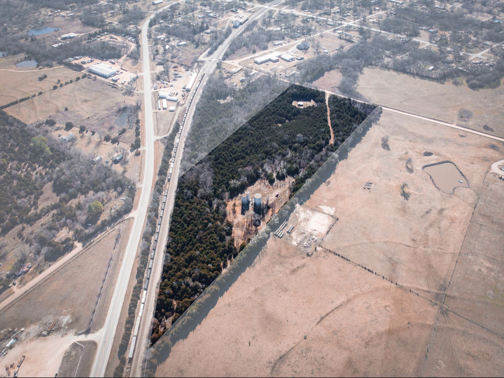
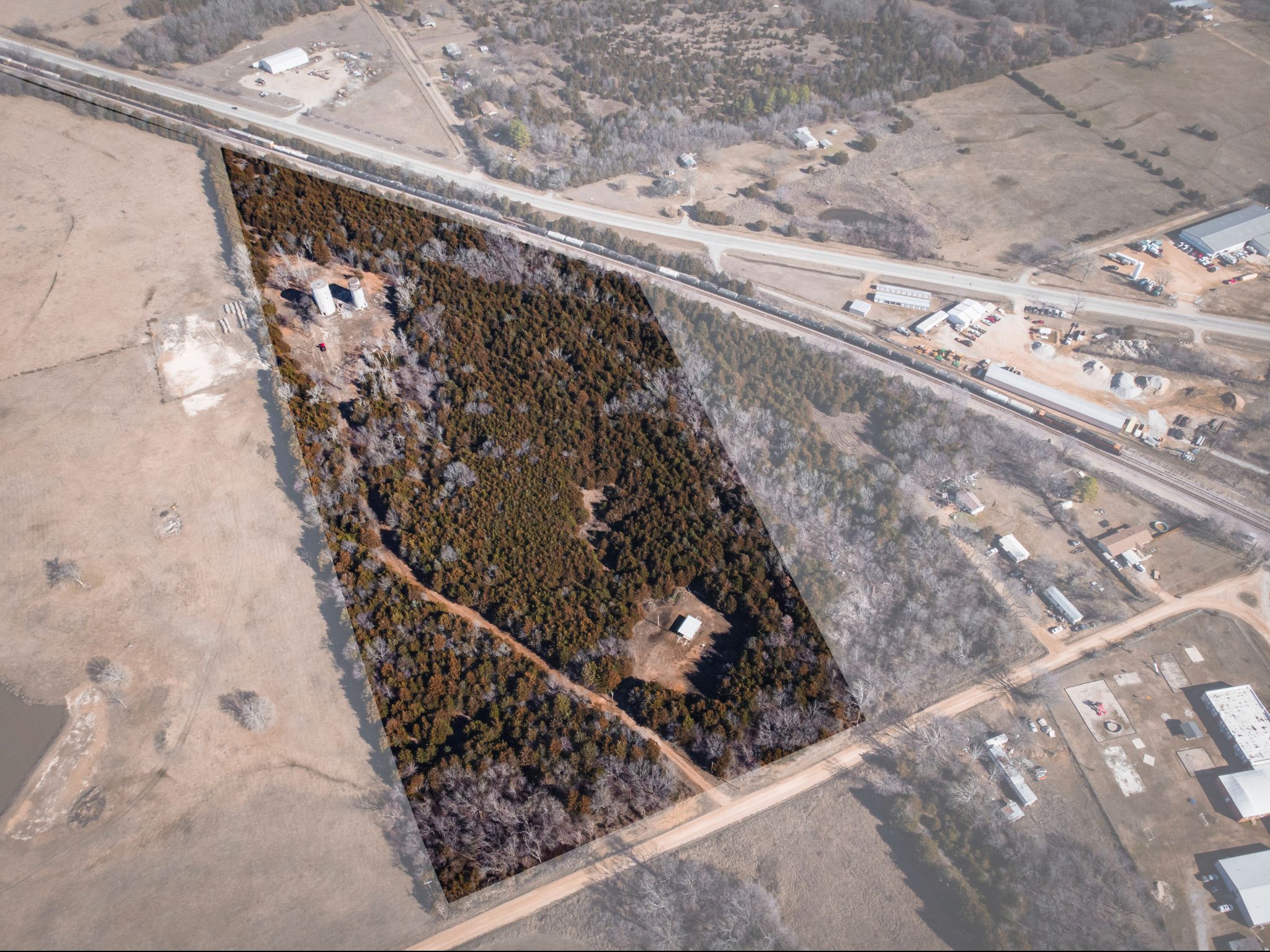

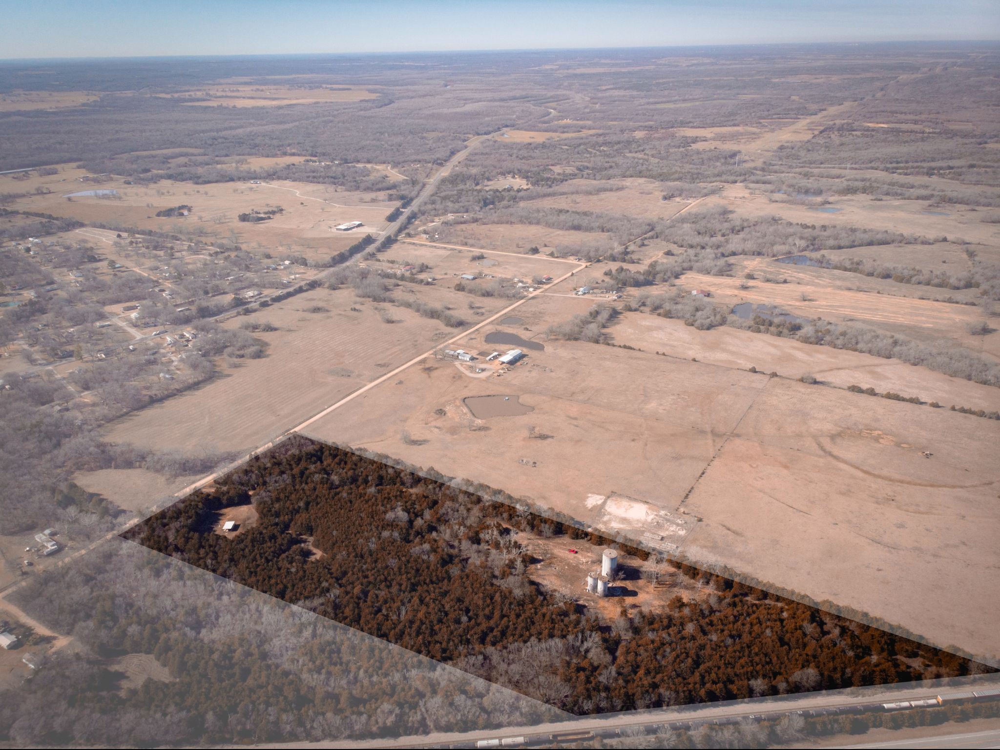


SOLD: Enchanting Acreage Opportunity: 17.54 Acres of Untouched Beauty in Johnston County, OK
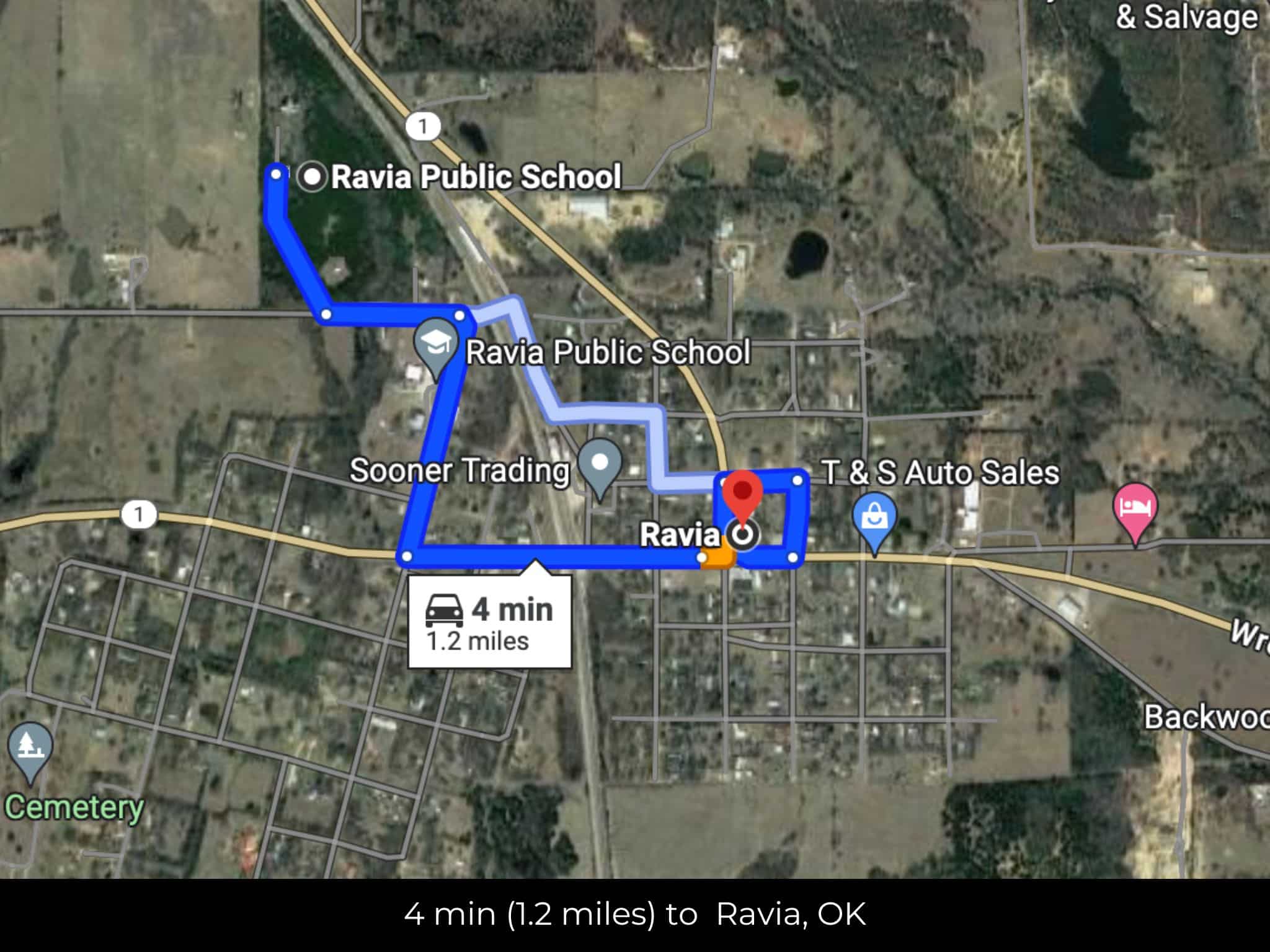
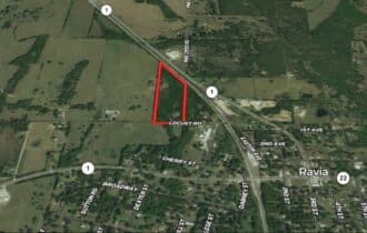
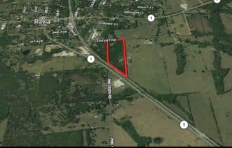
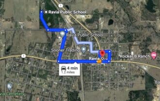
4 min (1.2 miles) to Ravia, OK
APN# 0000-34-03S-05E-4-002-00
Payment
Payment Notes:
Warranty of Title: The property will be conveyed via a general warranty deed, guaranteeing you free and clear title to the property.
We accept Cash or 3rd party financing with a pre-approval letter.
We do not offer owner financing. No payment options are available for this property.
Paying a 3% Buyer's Agent Commission!
Property Description
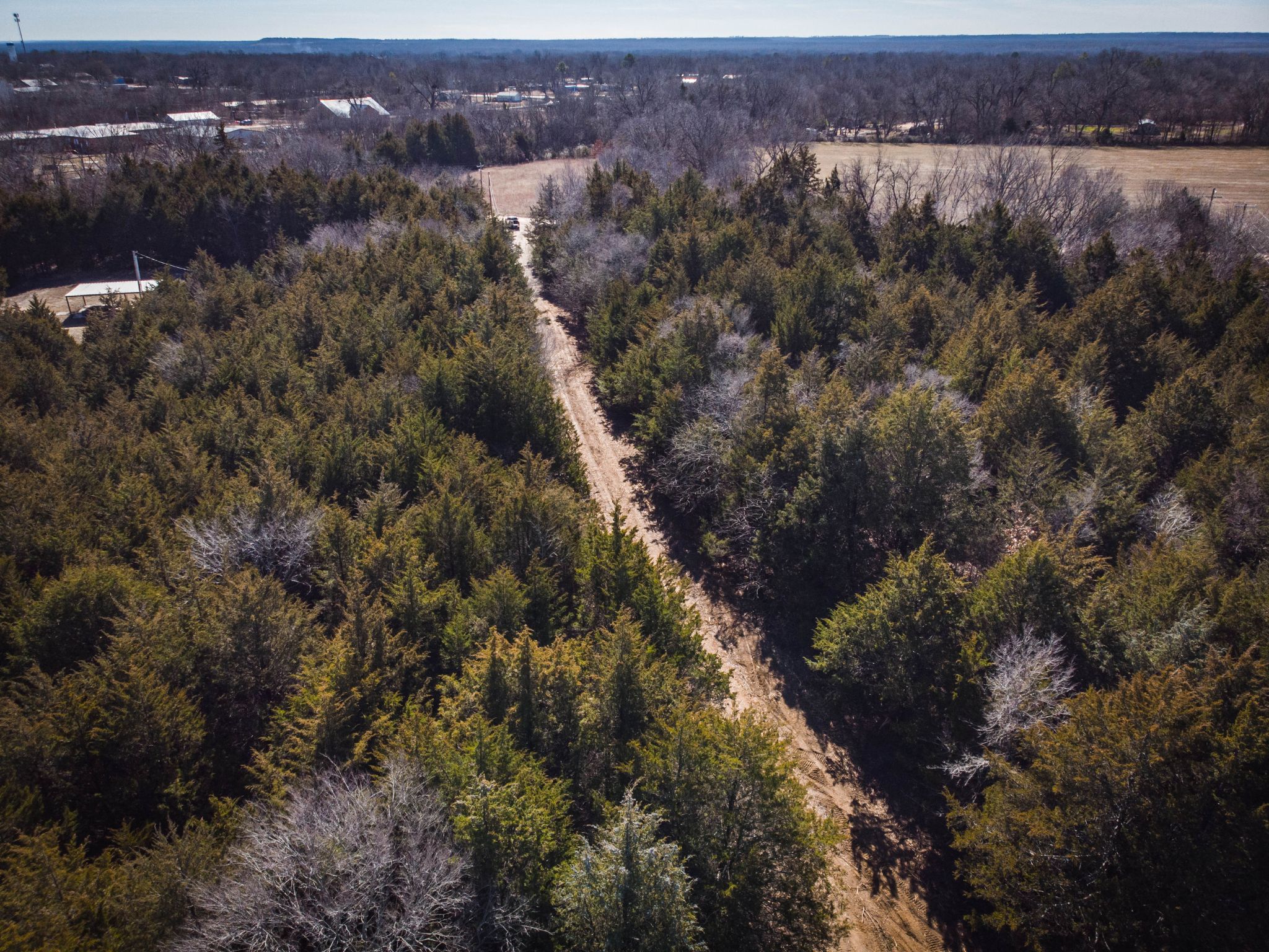
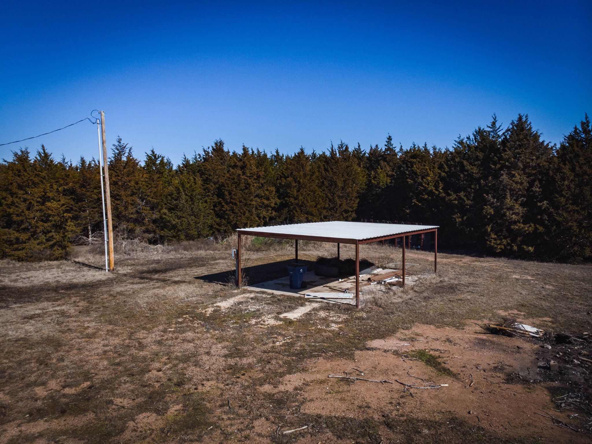
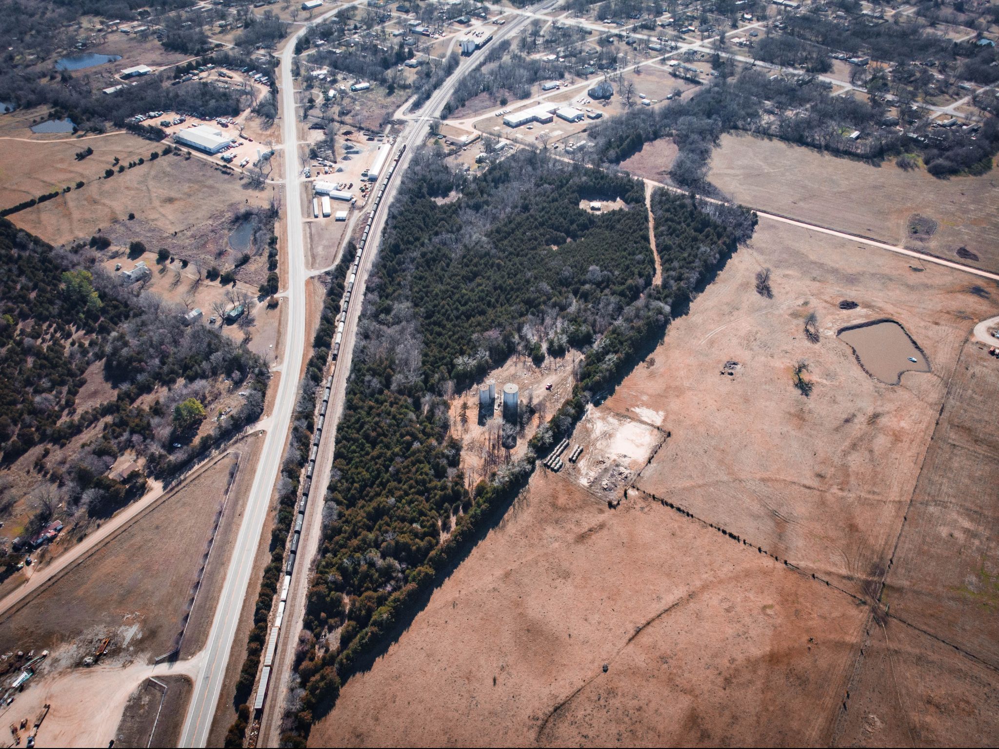
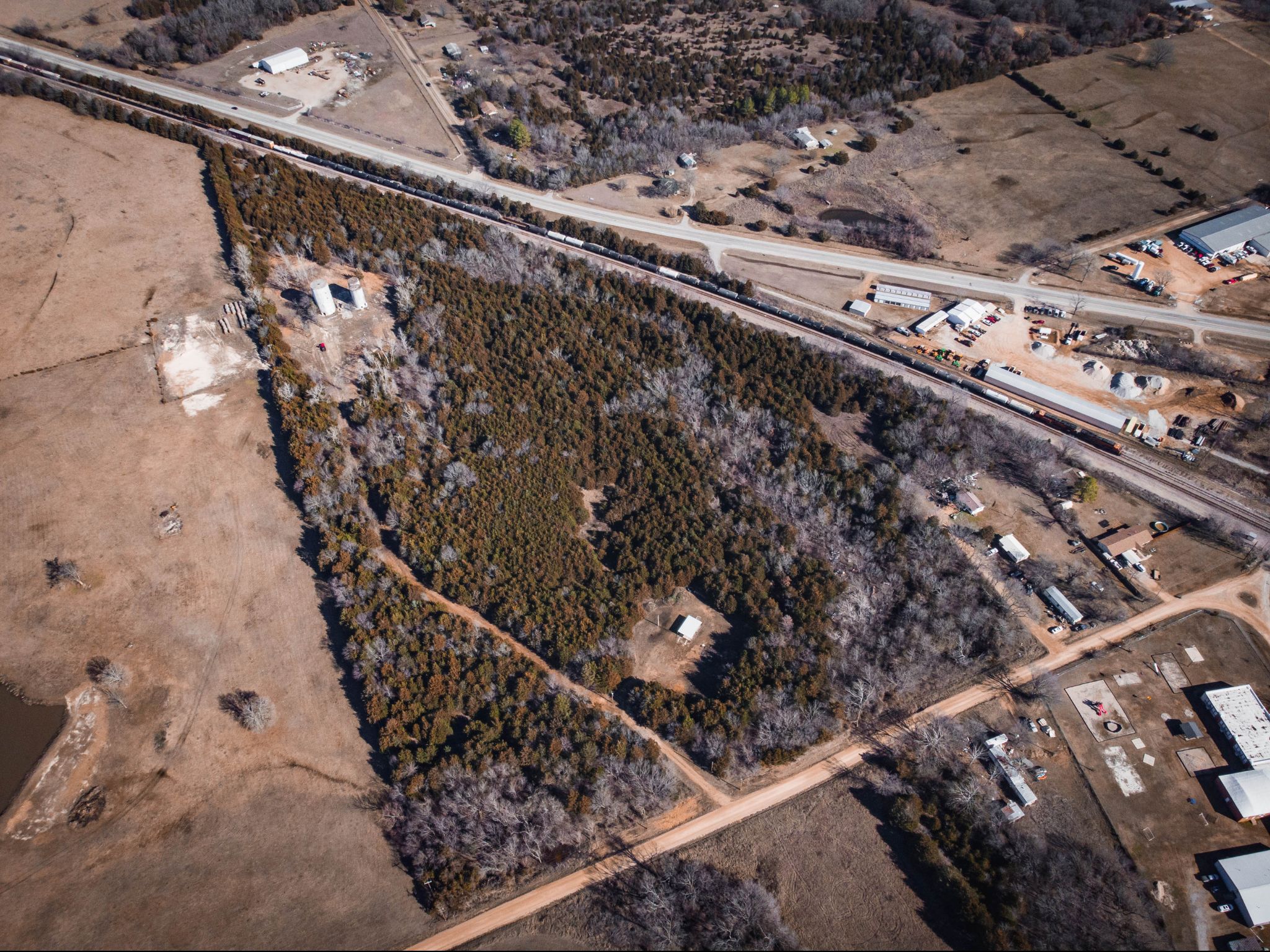
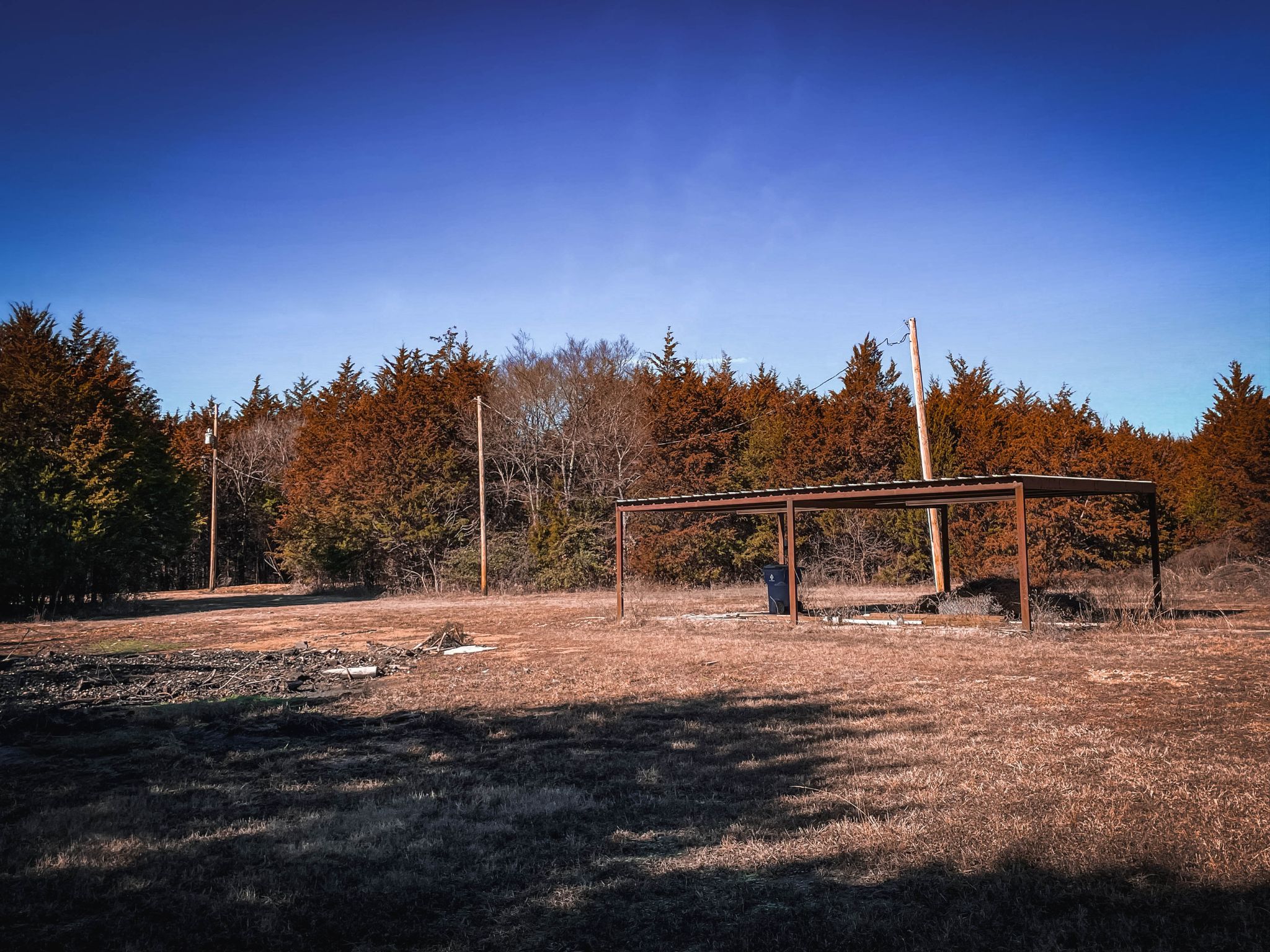
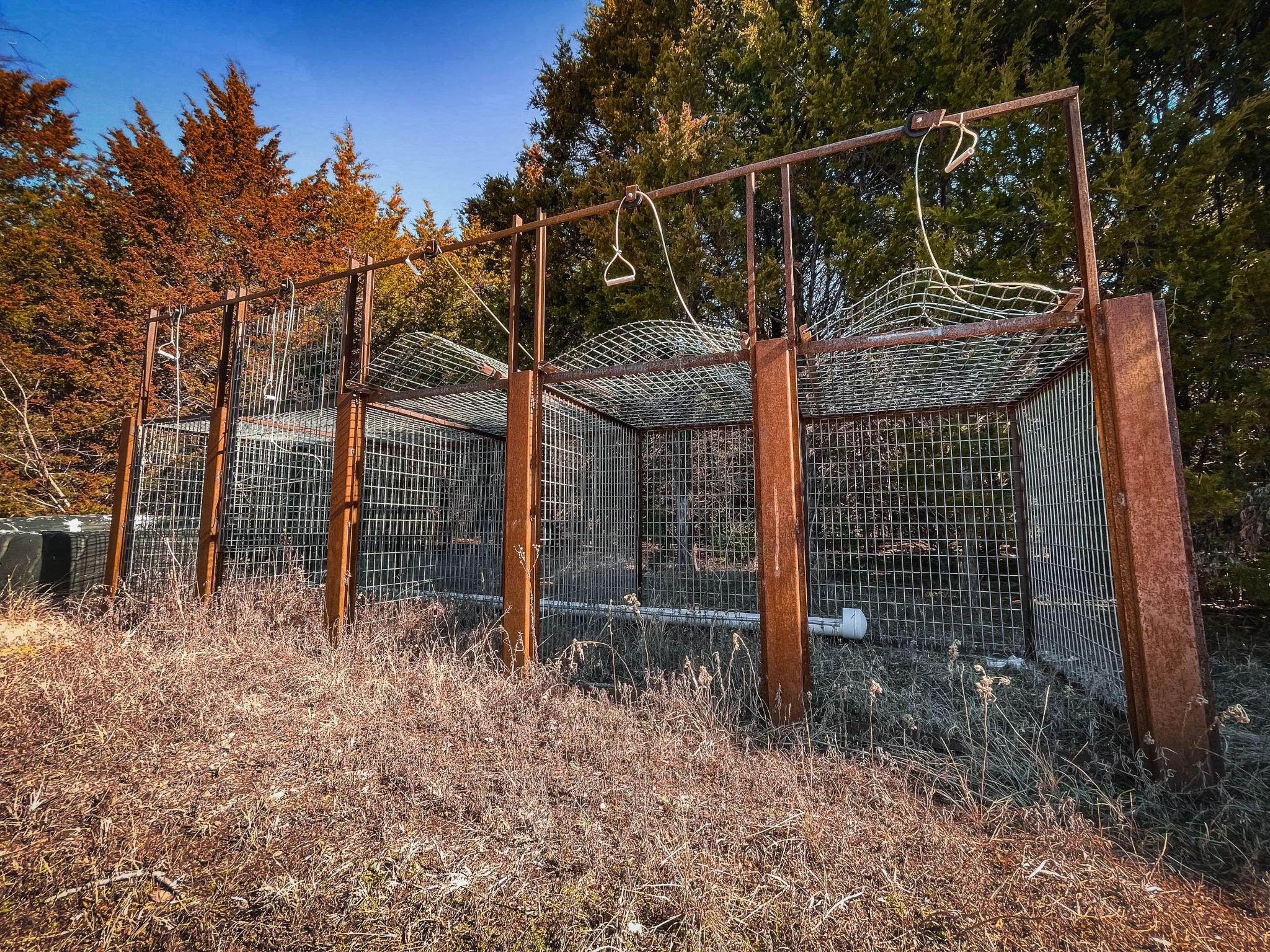
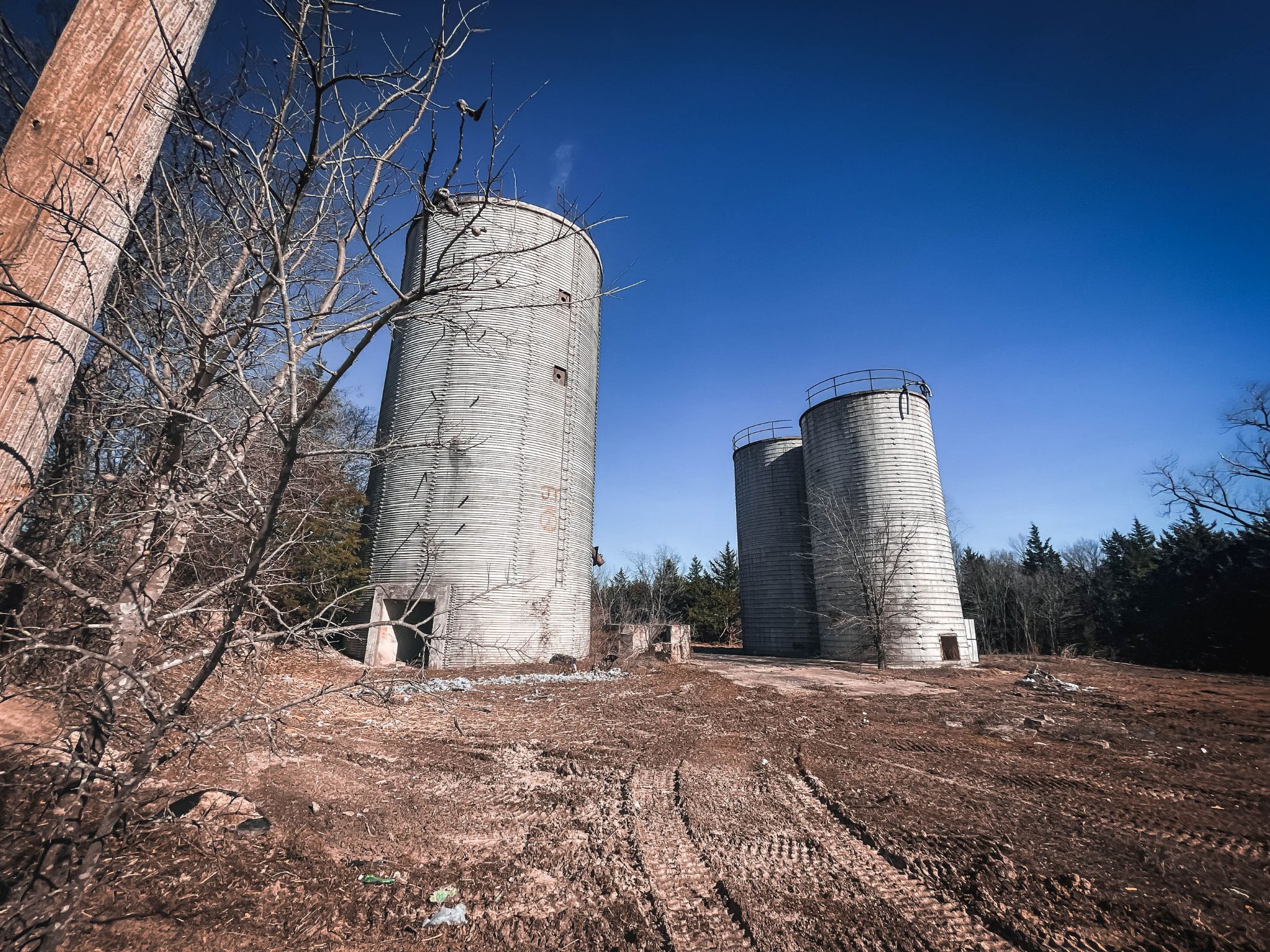
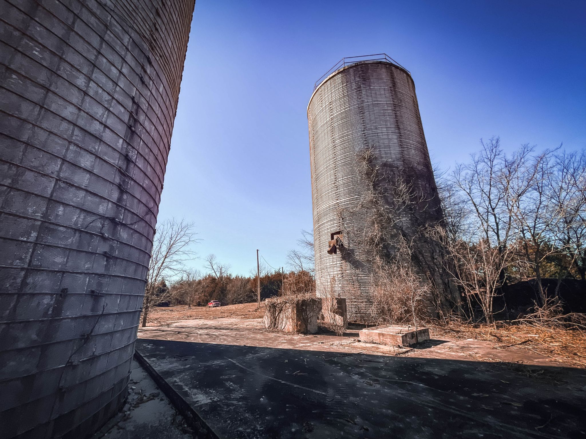
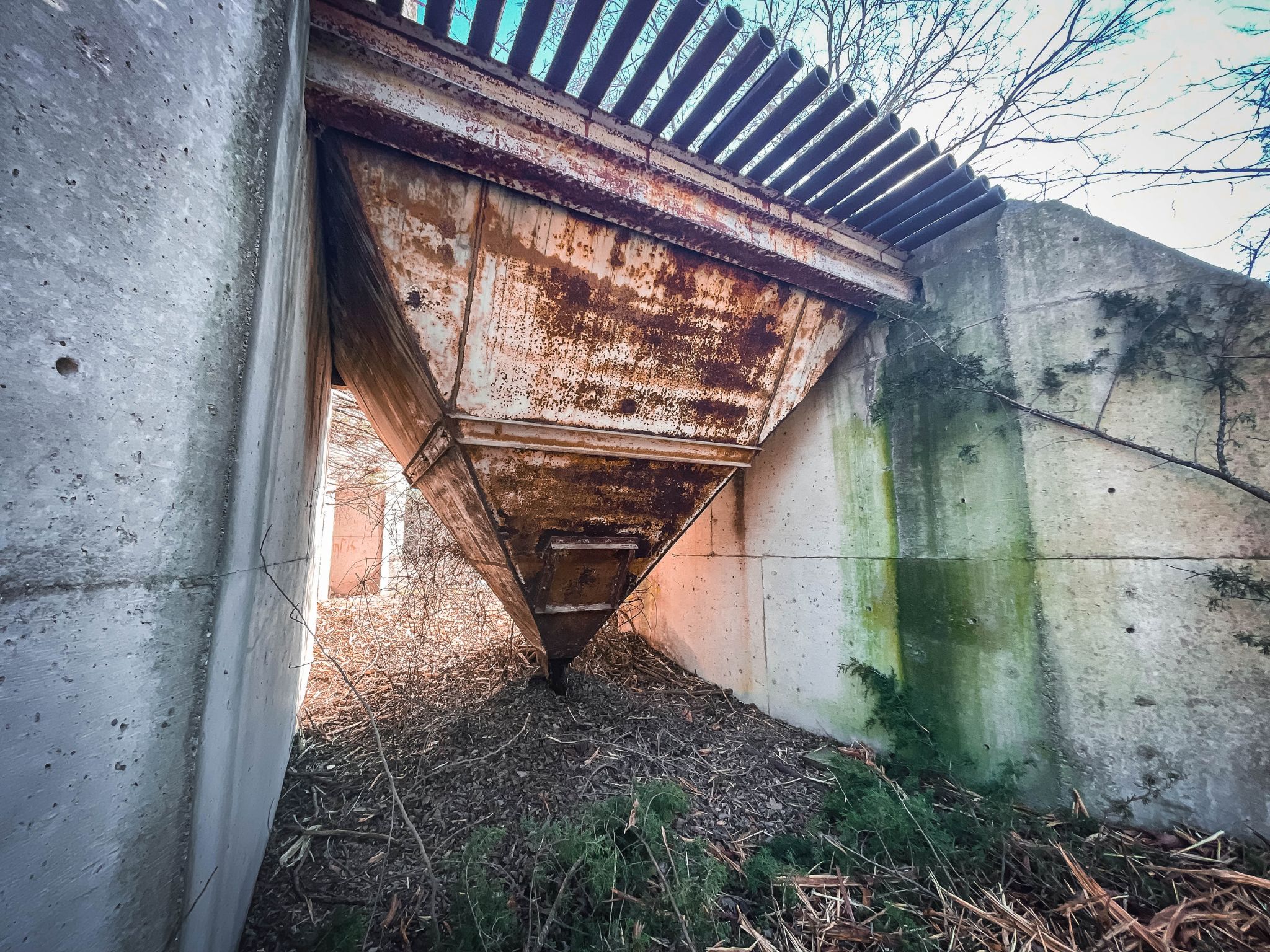
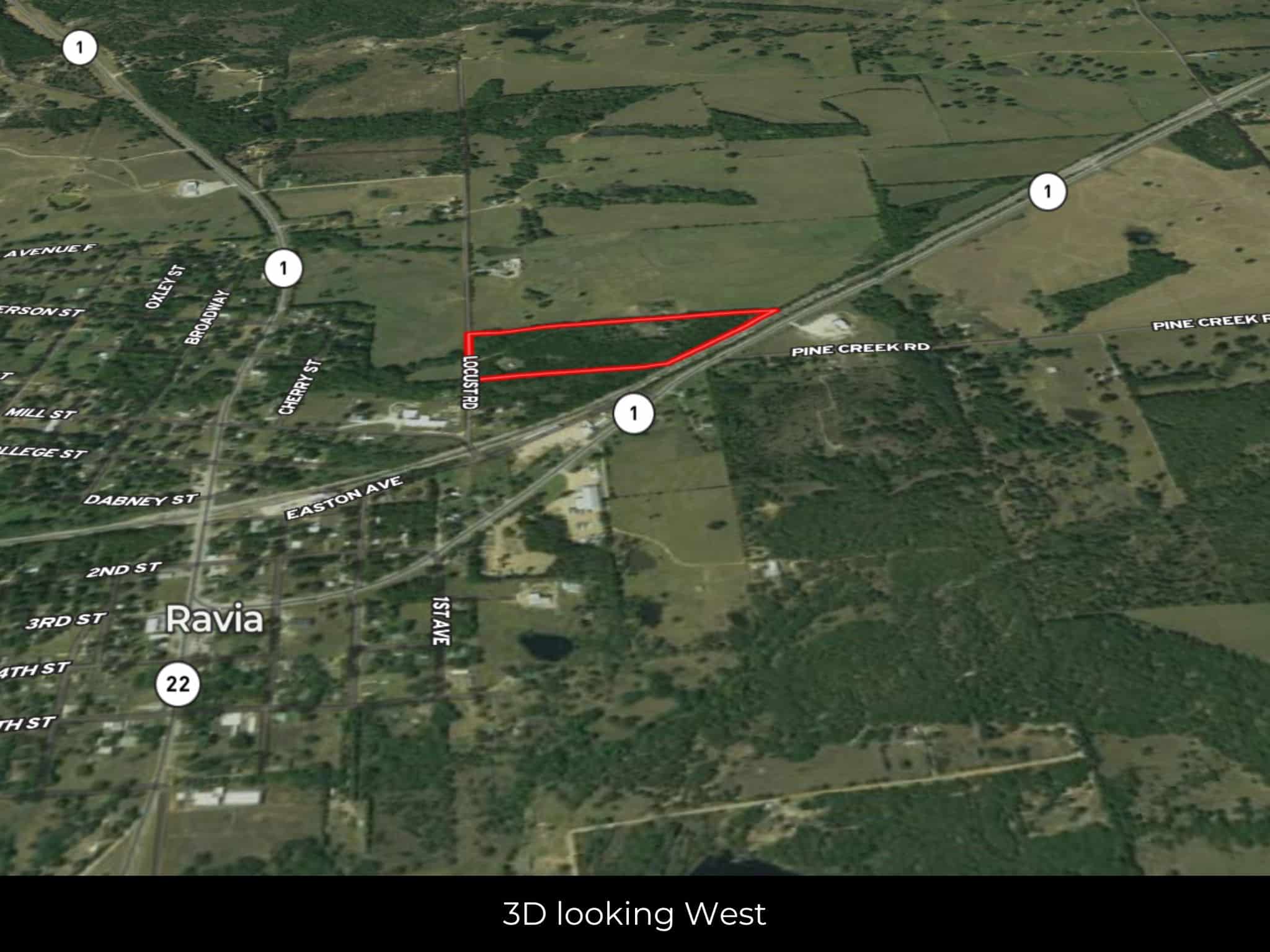
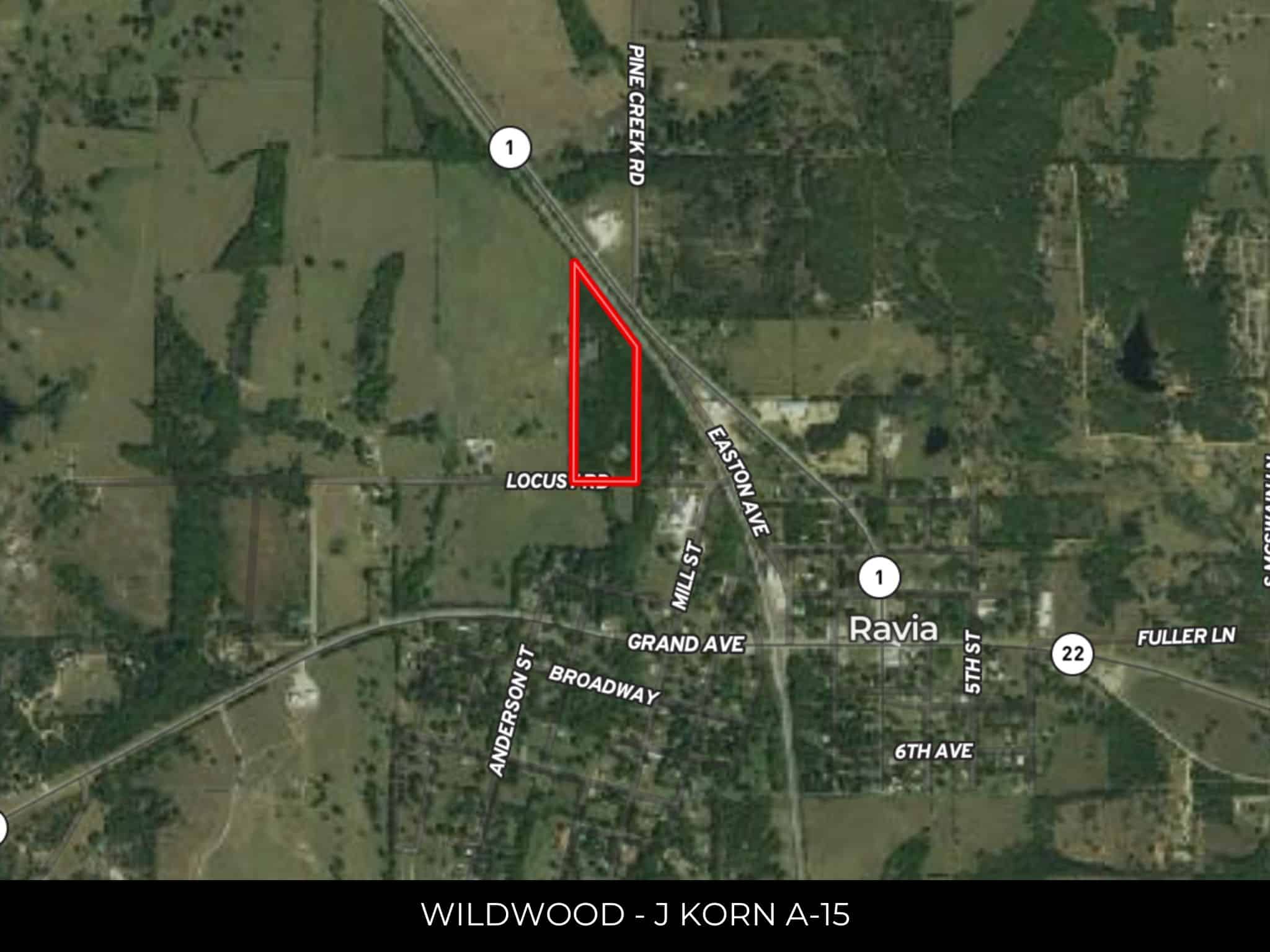
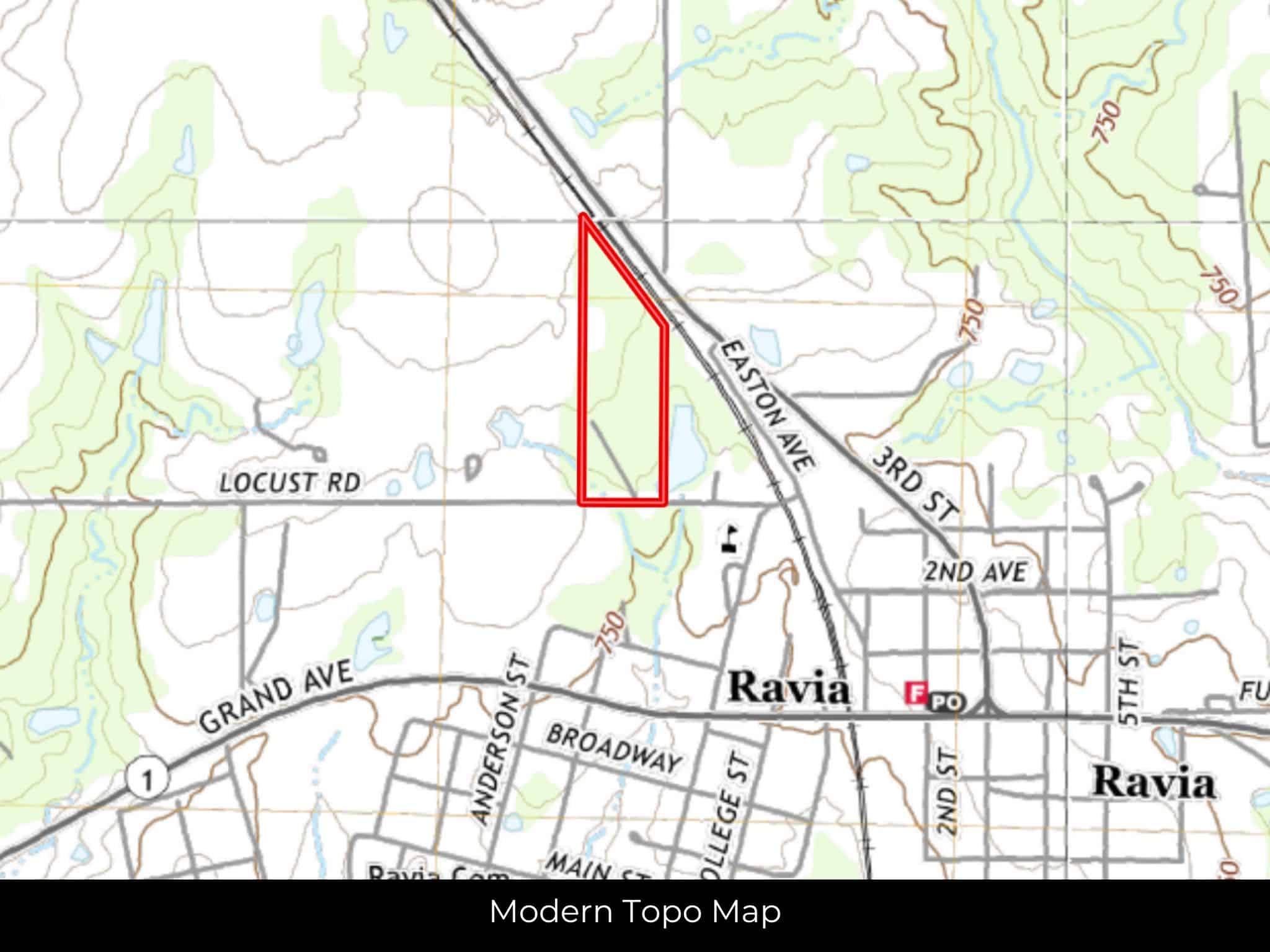
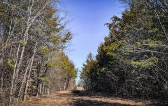
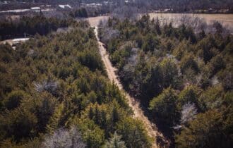
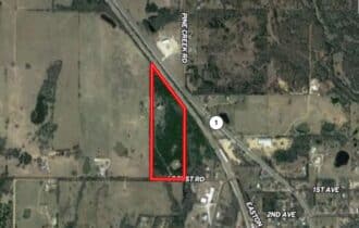
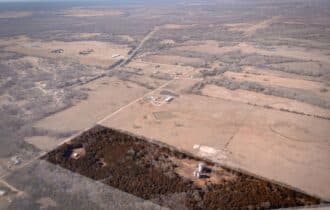
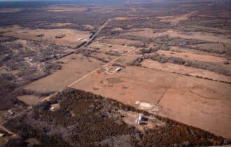
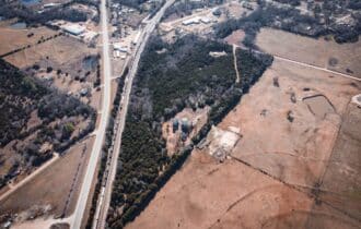
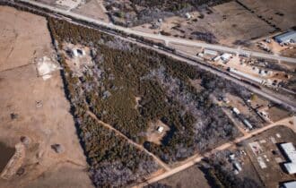
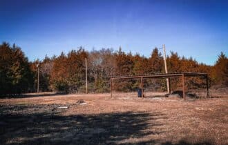
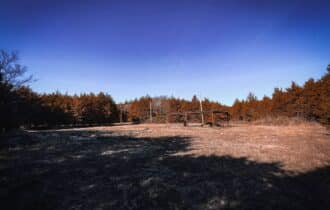
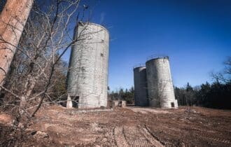
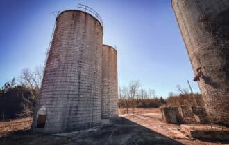
Nestled in the picturesque landscape of Johnston County, Oklahoma, is a sprawling 17.54-acre vacant lot awaiting the vision of prospective buyers. This expansive property is strategically located in close proximity to several charming towns, including Ravia, Tishomingo, Mill Creek, Madill, and Ardmore. The region is renowned for its tranquil atmosphere and natural beauty, making it an ideal canvas for those seeking to create their dream home, a private retreat, or even a commercial venture.
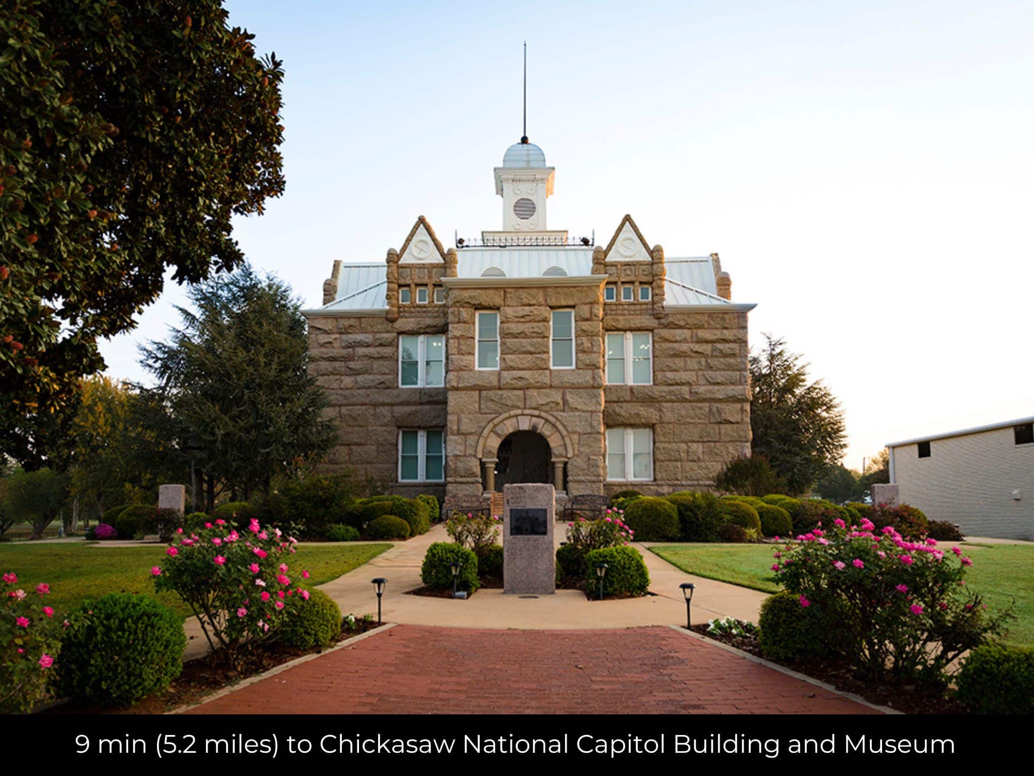
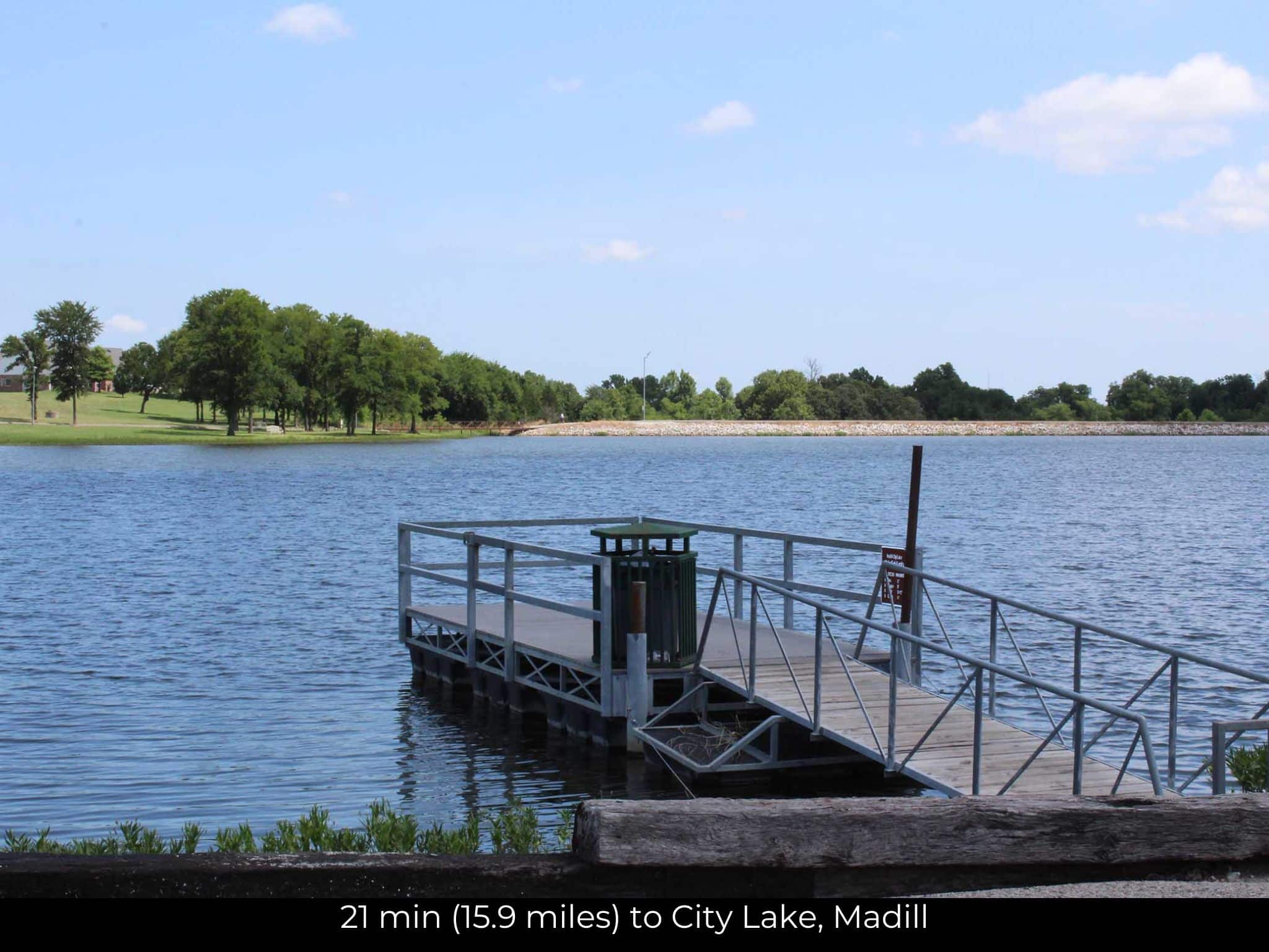
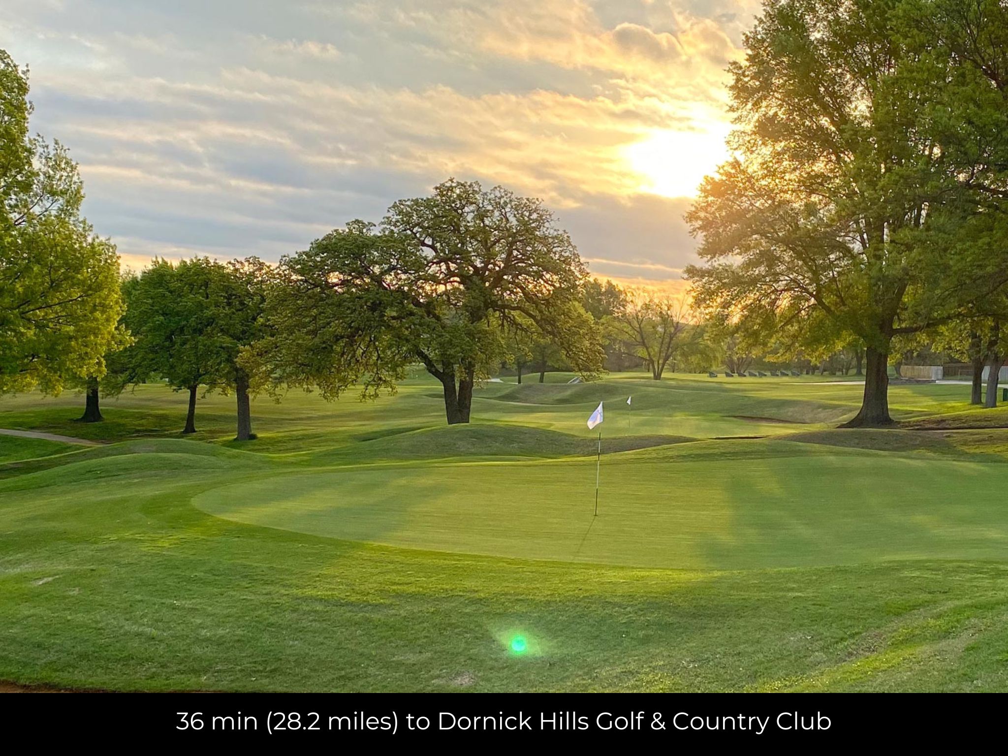
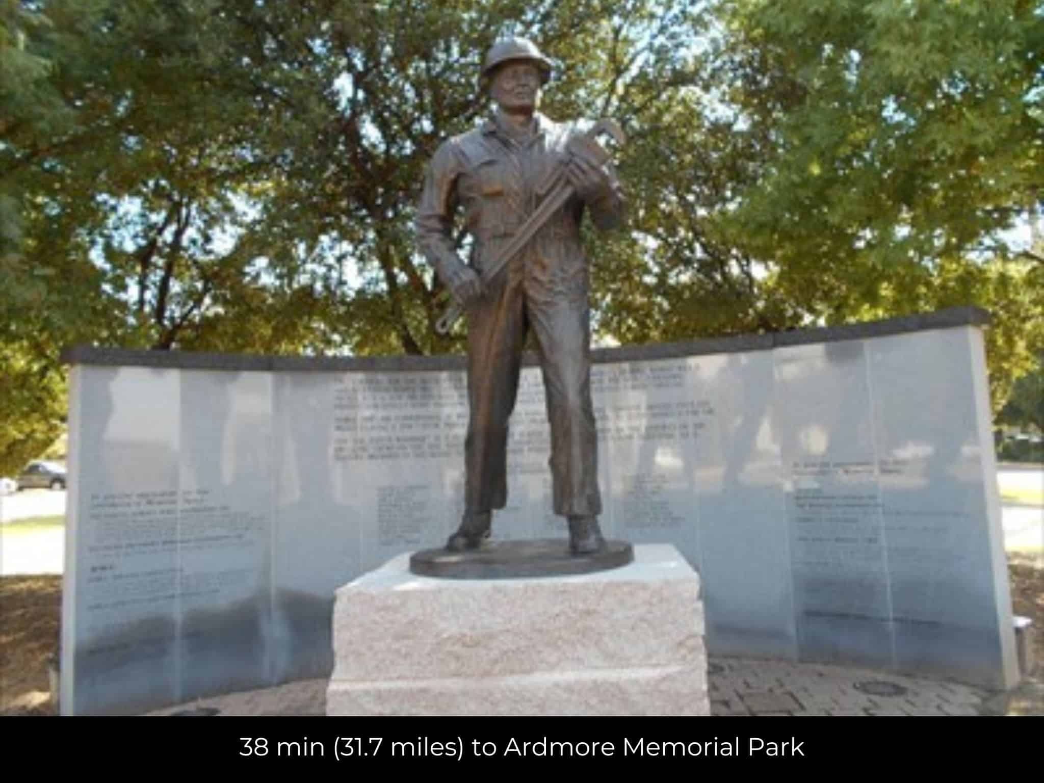
This prime piece of real estate offers not only a blank canvas for development but also convenient access to a myriad of attractions that showcase the rich cultural and recreational tapestry of the area. Nearby points of interest include the Chickasaw National Capitol Building and Museum, a testament to the region's Native American heritage, and the Tishomingo National Wildlife Refuge, providing a haven for nature enthusiasts. With City Lake in Madill offering serene waterfront views, the property also allows easy access to recreational activities. Furthermore, the proximity to attractions such as The Mercy Train, Ardmore's vibrant community, the Dornick Hills Golf & Country Club, and the Ardmore Memorial Park ensures that residents and visitors alike can enjoy a diverse range of experiences, from cultural enrichment to outdoor adventures. This vacant lot in Johnston County presents an exciting opportunity to immerse oneself in the natural beauty and vibrant community life that defines this charming corner of Oklahoma.
Property Video
Visiting the Property
You are welcome to visit the property at your convenience and anytime while it's still available. However, we HIGHLY recommend checking-in with us prior to visiting the property in case the property has gone under contract or already sold.
The interactive map above is generated with MapRight. MapRight has free apps for Apple IOS and Android that can be used to track your location and route throughout a property and provide driving directions.
MapRight for Apple –> Download App.
MapRight for Android –> Download App.
To launch the interactive map on your device, 1) install the free MapRight app using one of the two links above for Apple or Android, and 2) click the “View Full Screen” link (see above) in the embedded map on the property listing page.
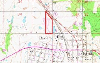
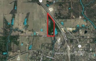
Property Information
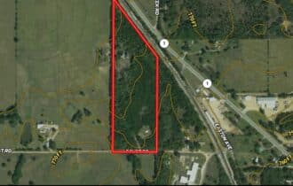
Parcel Size
17.54 Acre
State
Oklahoma
County
Johnston
Nearest Cities
Ravia, OK
Parcel #
0000-34-03S-05E-4-002-00
Address
000 Locust Road Mill Creek, OK, 74856
Legal Description
SEC 34-3S-5E A TR BEG AT THE SE/C OF THE SEC TH W 520′; N 1716.5′; TH SE'RLY ON A BEARING OF S37DEG E 860.1′; TH S 1230.5′ TO POB (LESS RR)
Zip Code
74856
Annual Property Taxes
$65
Ag Exemption
No
HOA
None
HOA per Year
None
Survey Available
Yes
School District
Ravia Public School
Liens and Back Taxes
None!
Source Deed
Sent for Filing.
Title Status
Free & Clear!
Outgoing Conveyance
Warranty Deed
Property Features
Acres
17.54
Dimension
1916′ X 862′
County
Johnston
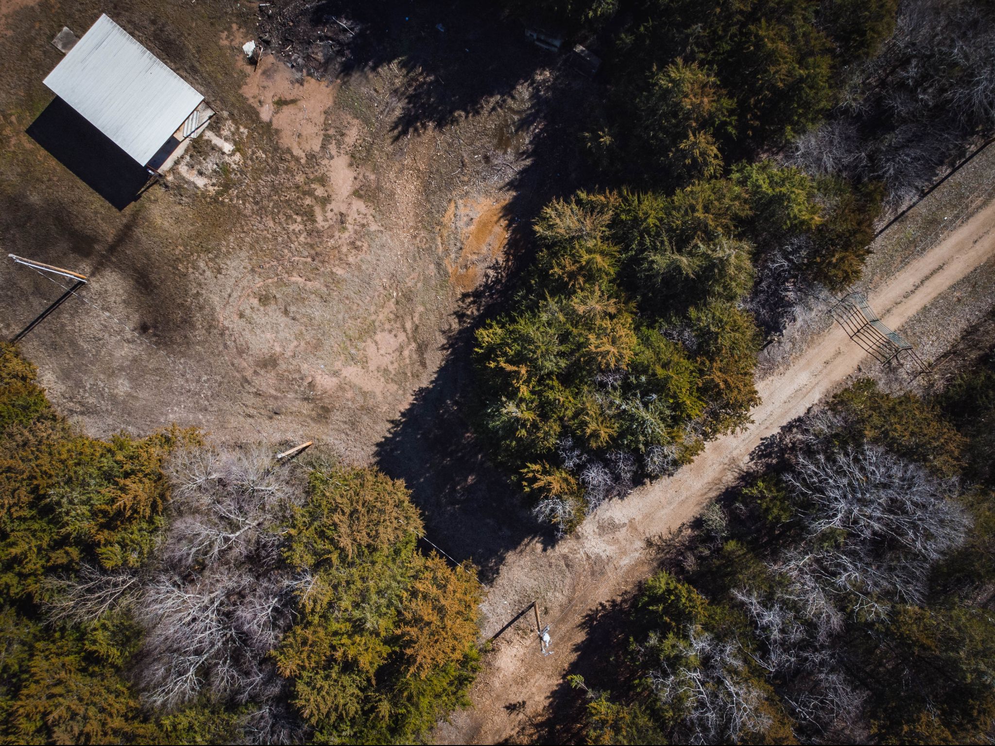
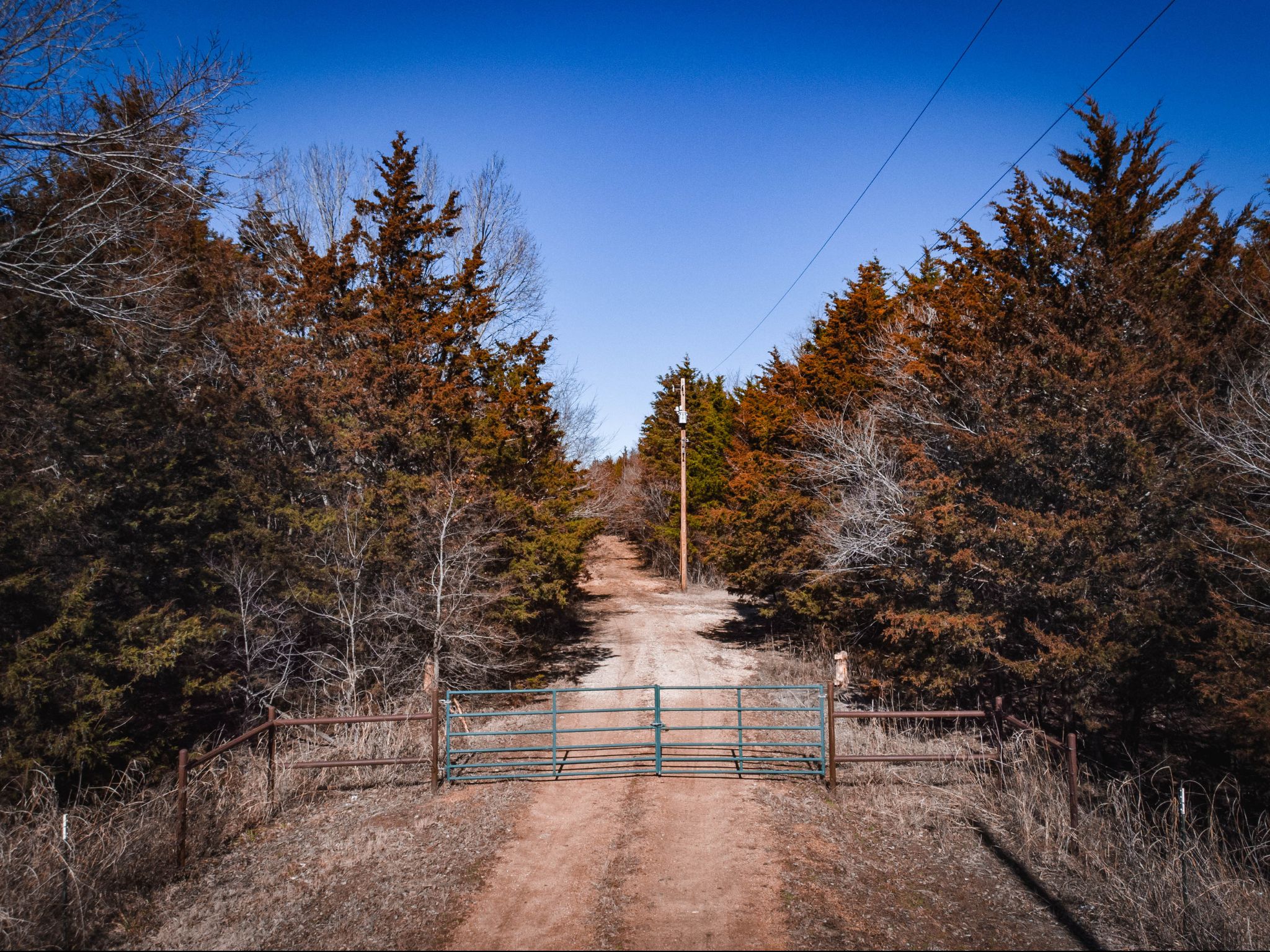
Access
Paved road
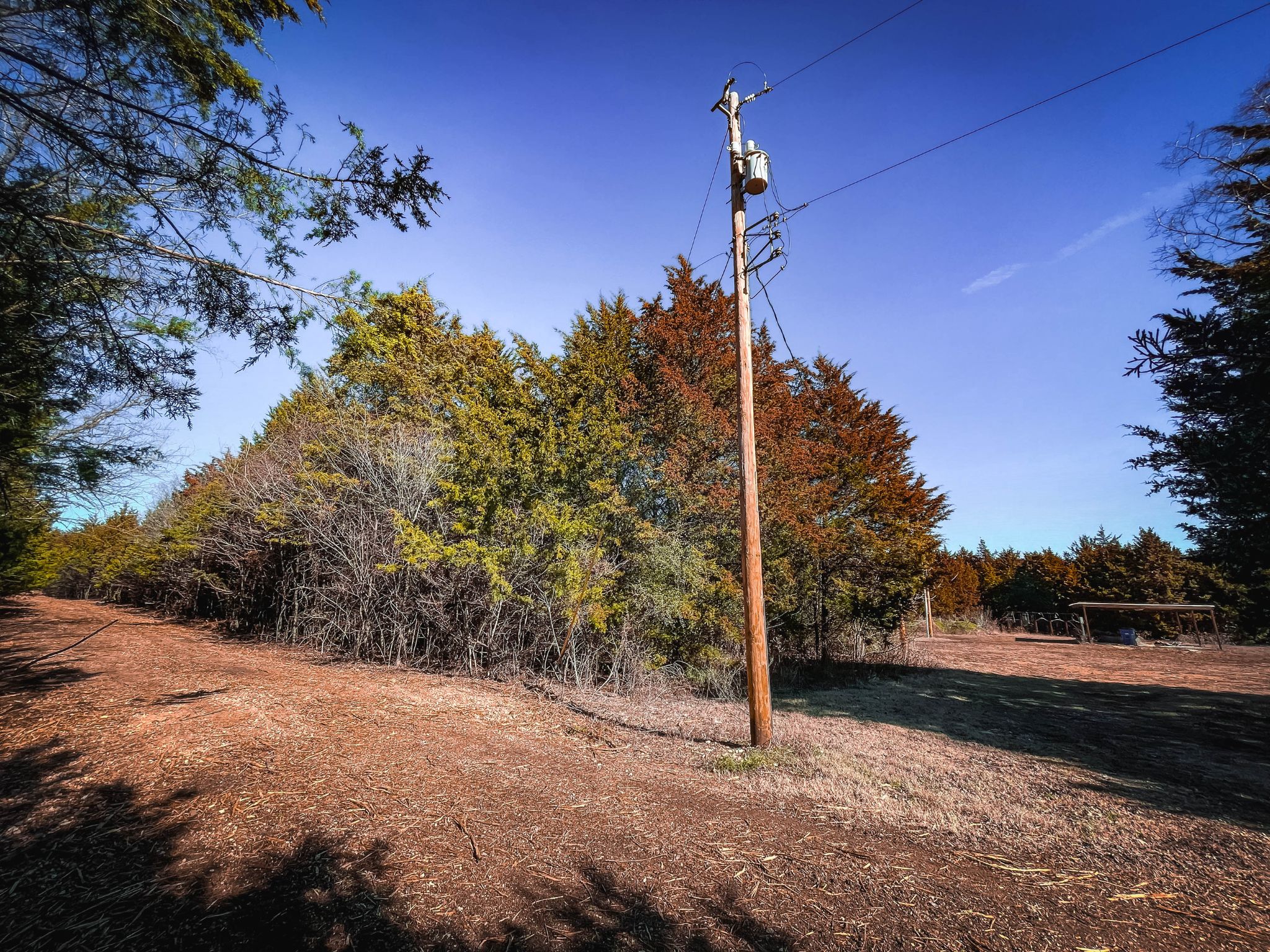
Power
Available
Water
Available
Coordinates
34.2472, -96.7593
Zoning
Residential
Elevation
760 ft
Terrain
Flat
Floodplain
No
Duplexes
Yes – Permit
Mobiles
Yes – Permit
Tiny Homes
Yes – Permit
Barndominiums
Yes – Permit
RV's
Yes – Permit
Camping
Yes – Permit
Property Survey, HOA, & Additional Documents
Utilities
🔌 Power: OG&E
💧 Water: Johnston County Rural Water District #3
🚽 Sewer: Septic / Ravia sewer
☎️ Phone: cellular, VOIP (see internet below), and satellite phone through Iridium, Globalstar, or Inmarsat.
🌐 Internet: satellite internet through Starlink, HughesNet, or ViaSat.
📺 Cable: satellite cable through Dish or DirectTV.
Nearby Cities, Conveniences, and Attractions
- 4 min (1.2 miles) to Ravia, OK (about)
- 9 min (5.2 miles) to Chickasaw National Capitol Building and Museum (about)
- 9 min (5.0 miles) to Valero, Tishomingo, OK (about)
- 10 min (5.3 miles) to Chickasaw Council House Museum (about)
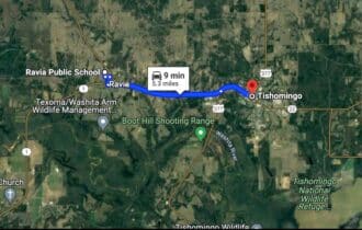
- 10 min (5.3 miles) to Tishomingo, OK (about)
- 10 min (5.4 miles) to United States Postal Service, Tishomingo (about)
- 11 min (5.9 miles) to Wyrick Lumber Ace Hardware, Tishomingo (about)
- 13 min (6.5 miles) to Dollar General Market, Tishomingo, OK (about)
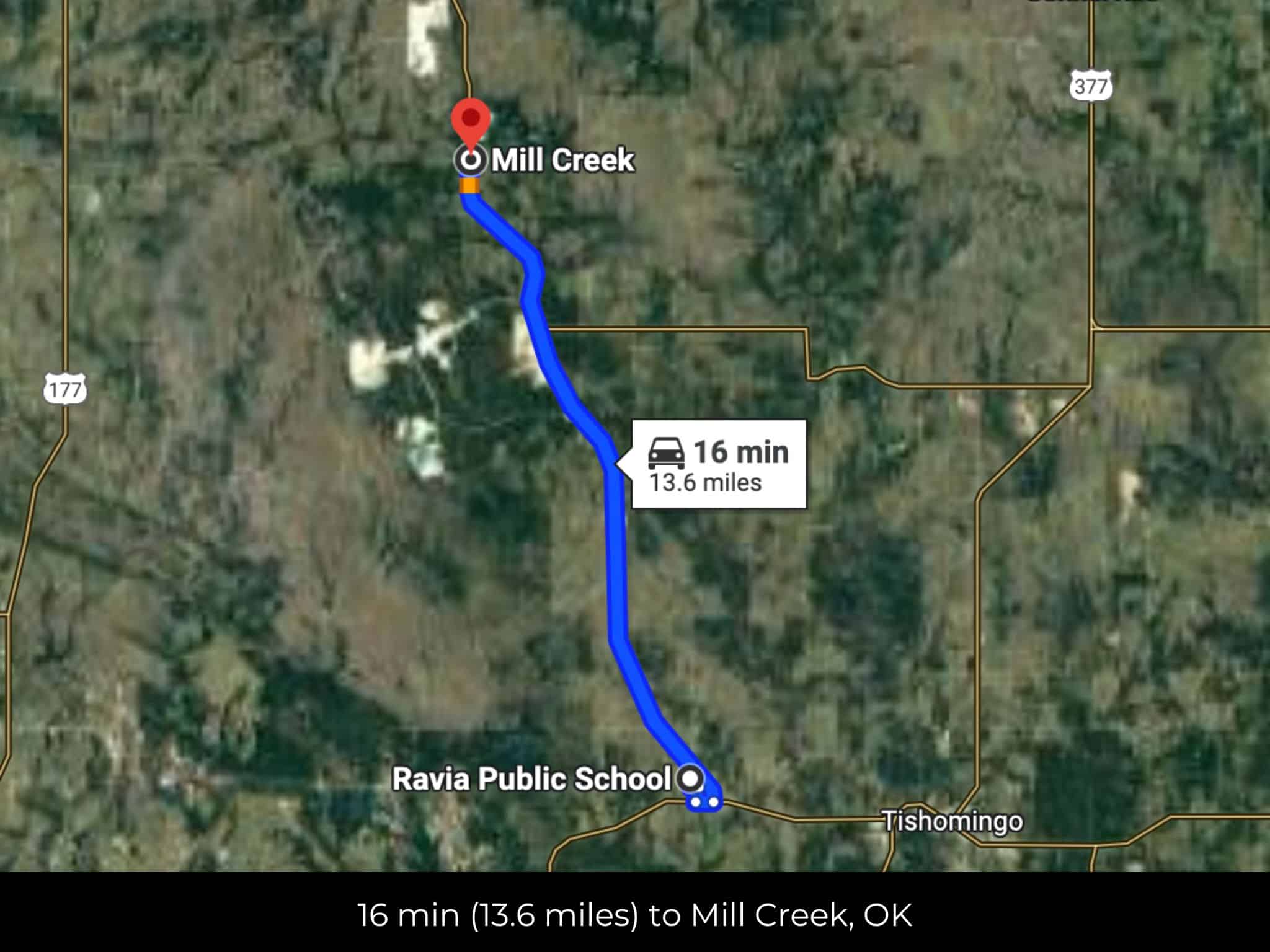
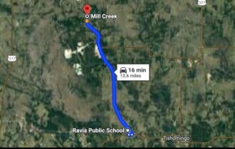
- 17 min (13.6 miles) to Mill Creek, OK (about)
- 18 min (15.0 miles) to Madill, OK (about)
- 19 min (9.4 miles) to Tishomingo National Wildlife Refuge (about)
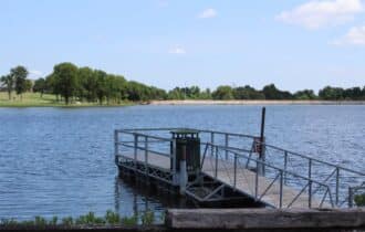
- 21 min (15.9 miles) to City Lake, Madill (about)
- 21 min (15.9 miles) to INTEGRIS Marshall County Medical Center, Madill
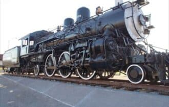
- 33 min (26.1 miles) to The Mercy Train, Ardmore OK (about)
- 33 min (28.5 miles) to Sulphur Farm & Ranch Center, Sulphur
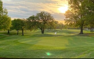
- 36 min (28.2 miles) to Dornick Hills Golf & Country Club (about)
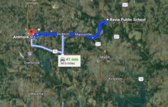
- 38 min (27.3 miles) to Ardmore, OK (about)
- 38 min (29.7 miles) to Walmart Supercenter, Sulphur, OK (about)
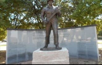
- 38 min (31.7 miles) to Ardmore Memorial Park (about)
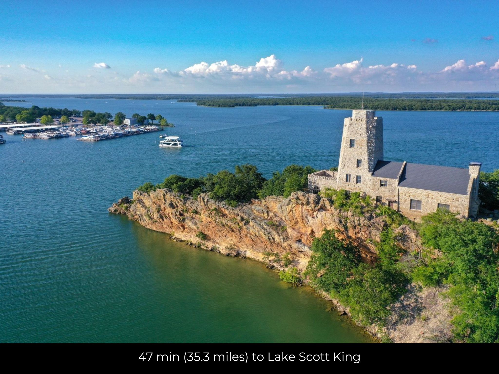
- 47 min (35.3 miles) to Lake Scott King (about)
- 1 hr 37 min (93.9 miles) to University of Oklahoma, Norman (about)
County Contacts
Johnston County Assessor Guyla Hart (580) 371-3465 (website)
Johnston County Treasurer Rana Smith 580-371-3082 (website)
Johnston County Clerk Kathy Ross (580) 371-3184 (website)
Johnston County GIS (website)
Closing Costs and Fees
$299
Document Prep Fee
Buyer will pay a $299 document preparation fee, which includes all postage and county recording fees. Seller will warrant title to the property.
$0
In-House Closing Fee
There will be no additional fees or expenses for an in-house closing. We will close in 14 days or less. This is the fastest, easiest, and cheapest way to close.
$1,500+
Title Company Fees*
Title Company costs are typically 2-5% of the purchase price with a minimum fee of around $1,500. Many states have legislated, standard insurance rates and other fees vary by the title company.
* If Buyer elects to close through a third-party title company, Buyer will bear all closing costs and expenses, including Seller’s title policy and Seller's escrow fees. Closing through a title company typically takes 30-45 days, depending on the county, title company, and transaction activity in the area.
Driving Directions and GPS Coordinates
🚗 Driving Directions: Take Mill St to OK-1 E/Grand Ave in Ravia 2 min (0.6 mi), Continue on OK-1 E/Grand Ave to 3rd Ave 1 min (0.4 mi), Take 4th St to Grand Ave 46 sec (0.2 mi), Turn right onto Grand Ave
📍 Northwest Corner: 34.2498, -96.7601 (Google Map)
📍 Northeast Corner: 34.2482, -96.758645 (Google Map)
📍 Southeast Corner: 34.2452, -96.7586 (Google Map)
📍 Southwest Corner: 34.2452, -96.7601 (Google Map)
📍 Center Point: 34.2472, -96.7593 (See embedded Google Map below 👇.)
Google Map
If you click the blue Directions link below, 👇 you can get Google turn-by-turn directions to the property on any device. The map coordinates for the Google Map below are for the approximate center of the property and not the entrance, gate, or primary access point for the property. Google Maps may provide driving directions that require the use of private or abandoned roads or may require you to go through gates located on private property. Do not trespass on private property! Some properties will require a 4-wheel drive vehicle or may be inaccessible in certain weather conditions. Please don't get stuck or lost.
Additional Notes
As-Is and As-Available: This property is being sold property “as-is” and “as-available.” No representations as to fitness for a particular purpose have been made. No verbal claims or promises have been made. Please see our Terms of Service for more information.
Contract: After making your initial deposit, we will email you the purchase and sale agreement, which includes a warranty deed. Agreements are prepared manually and will be sent out Monday through Friday between 9 AM and 5 PM CST. Thank you for your patience.
No Monthly Payments: We are not offering seller financing on this property. This is an all-cash transaction. We are not offering a payment plan. If you would like to finance your purchase of the property, please contact a third-party lender prior to making your deposit. We will not sign a purchase and sale agreement that is contingent upon third-party financing without a pre-approval letter.
3% Buyer's Agent Commission: You are not required to have an agent or broker assist you with purchasing this property. However, if the Buyer does use an agent, and the Seller is made aware of this prior to an agreement on price or signed contract, the Seller will pay a 3% commission to the Buyer's licensed agent or broker.
Maps and GPS Coordinates: Maps and GPS coordinates are believed to be accurate, but accuracy is not guaranteed. The information contained in the maps should not be considered a “legal description,” and the maps and GPS coordinates are not a replacement for a survey. We have taken reasonable steps to ensure that parcel lines, maps, and coordinates are in fact accurate, but third-party geographical information system (GIS) providers, including information from the county, often contain errors and inaccuracies.