
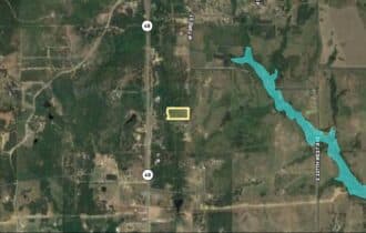
SOLD: Five Acres with an Easy Commute to Tulsa
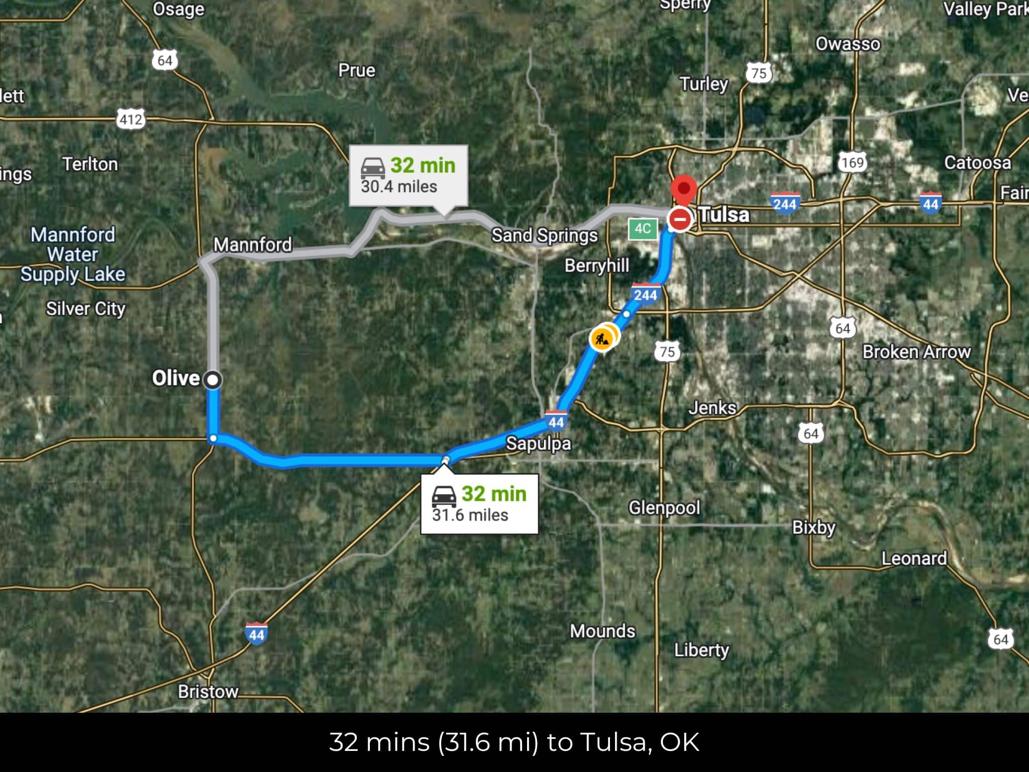
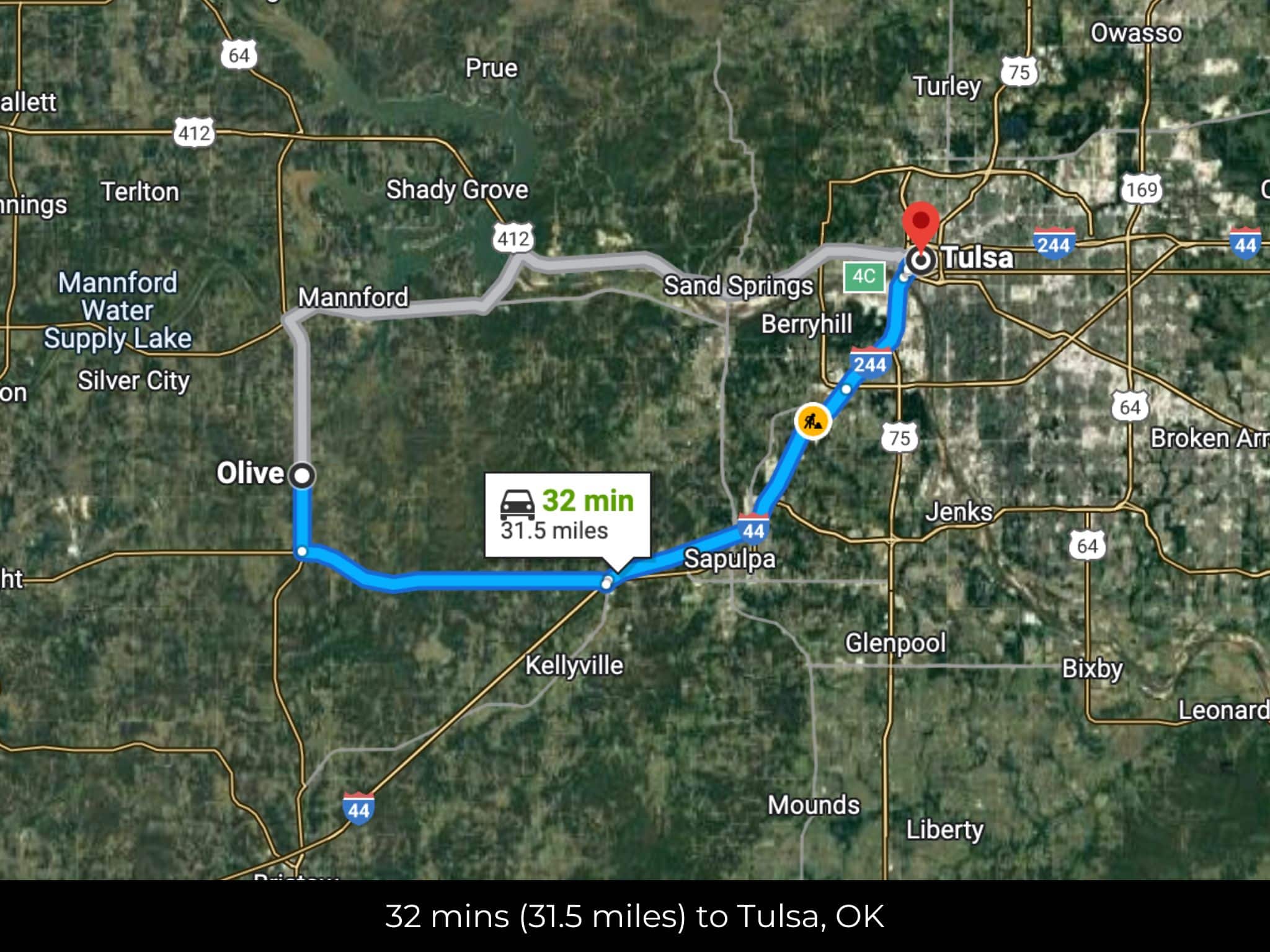
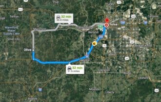
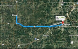
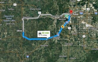
32 min (31.6 miles) to Tulsa, OK
APN# TBD
Payment
Payment Notes:
Warranty of Title: The property will be conveyed via a general warranty deed, guaranteeing you free and clear title to the property.
We accept Cash or 3rd party financing with a pre-approval letter.
We do not offer owner financing. No payment options are available for this property.
Paying a 3% Buyer's Agent Commission!
Property Description
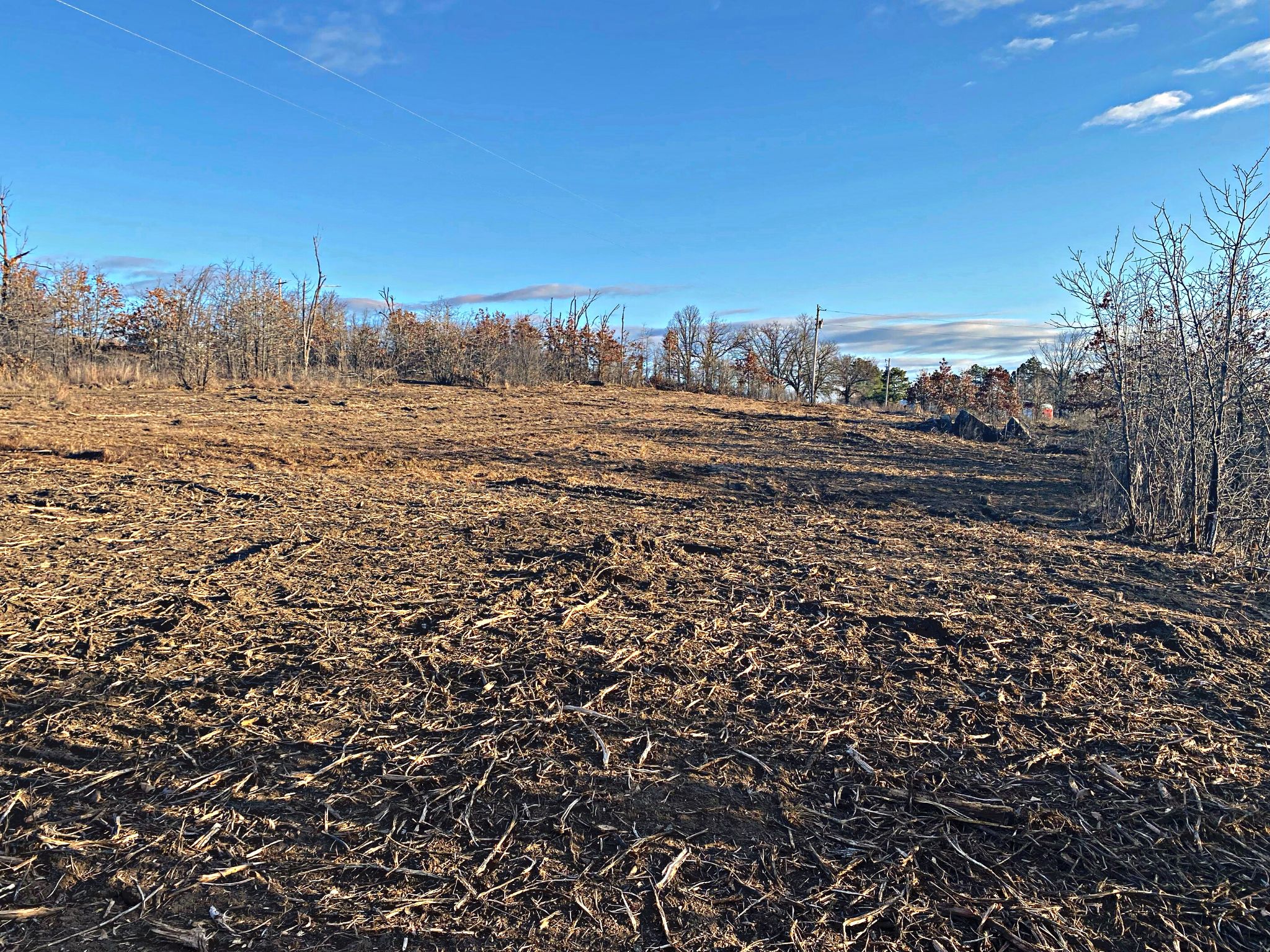
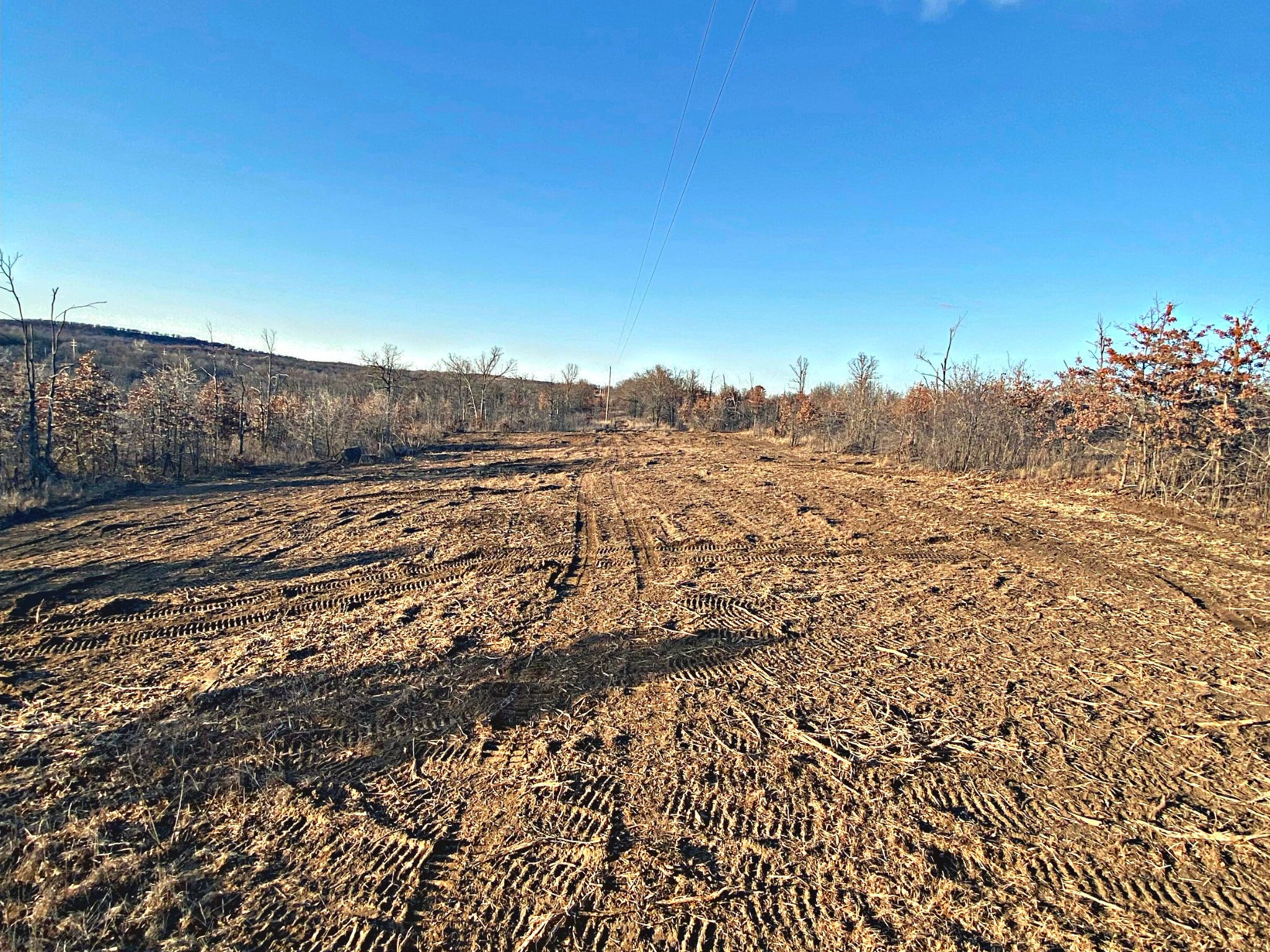
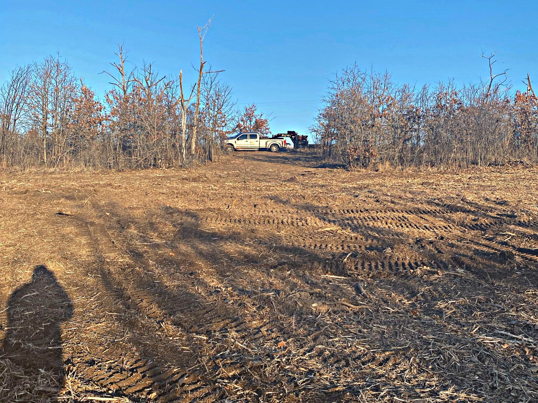
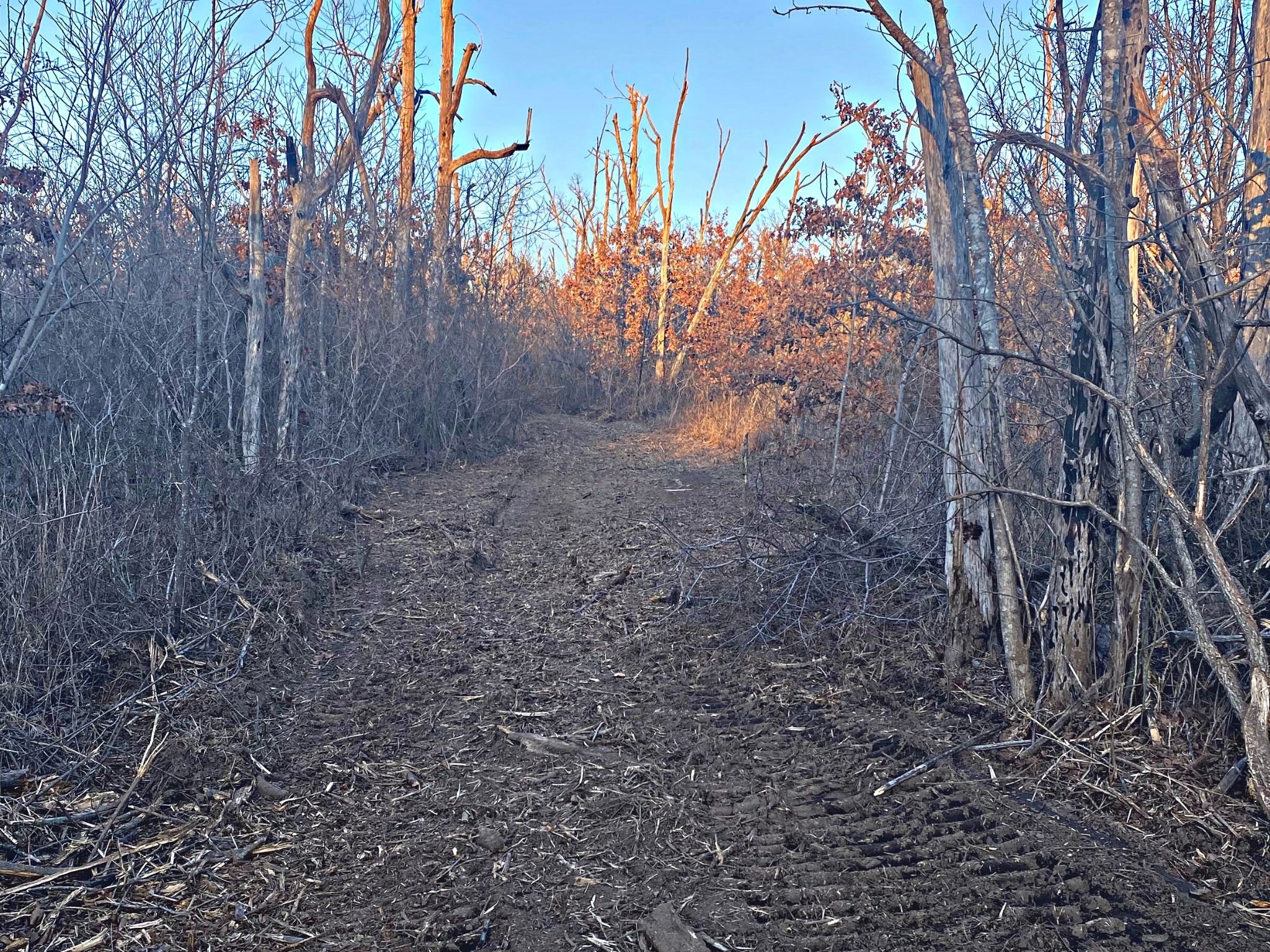
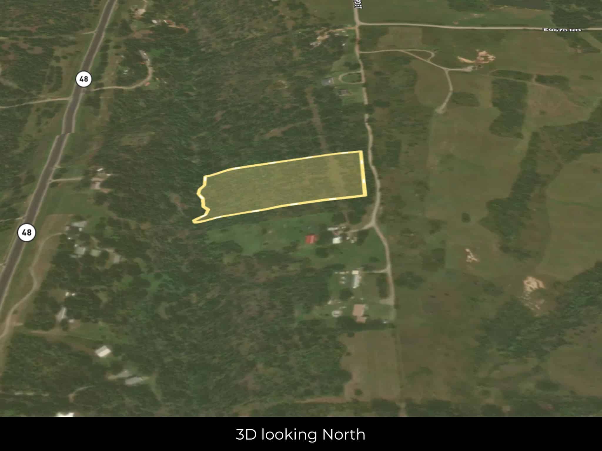
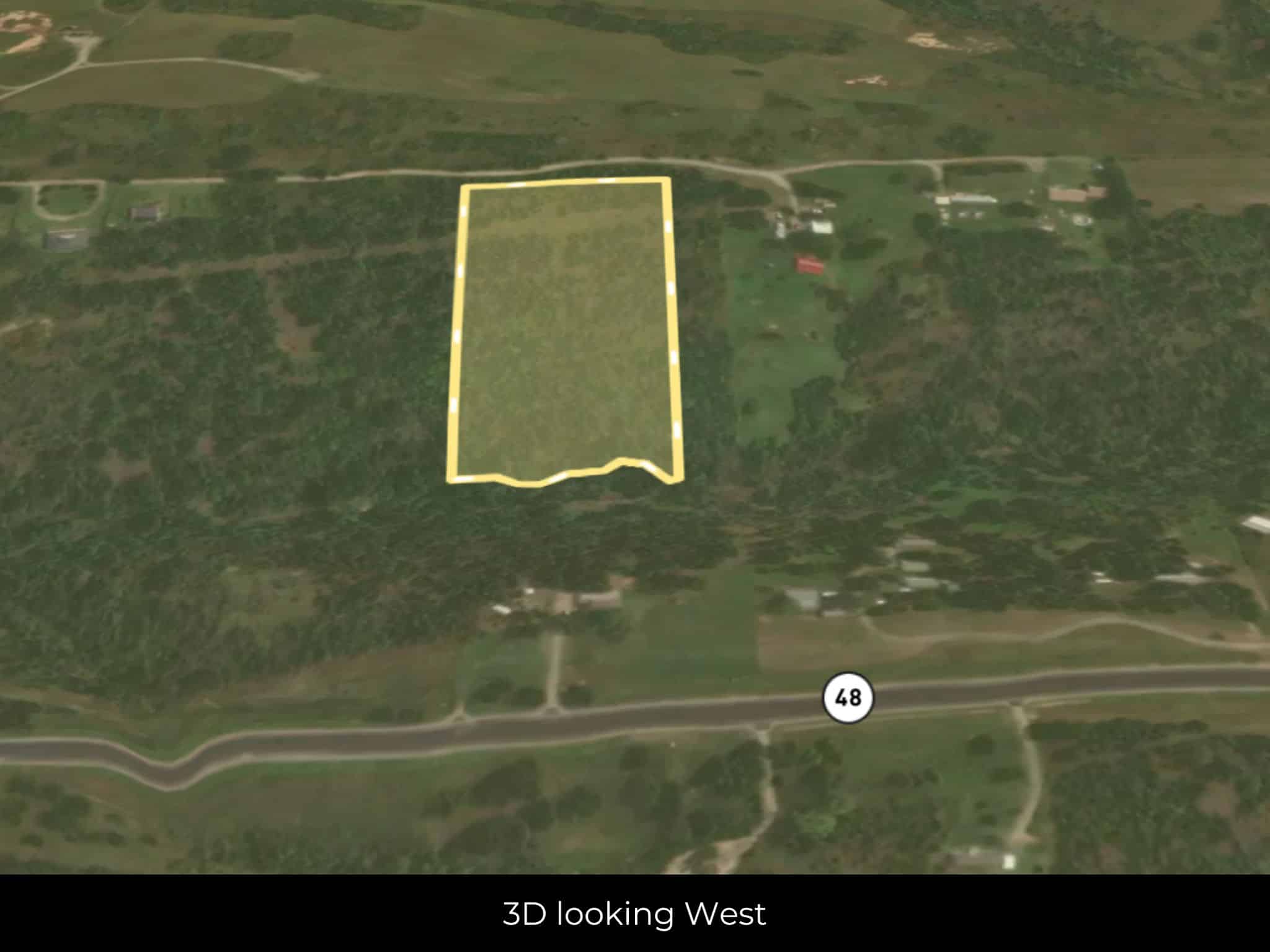
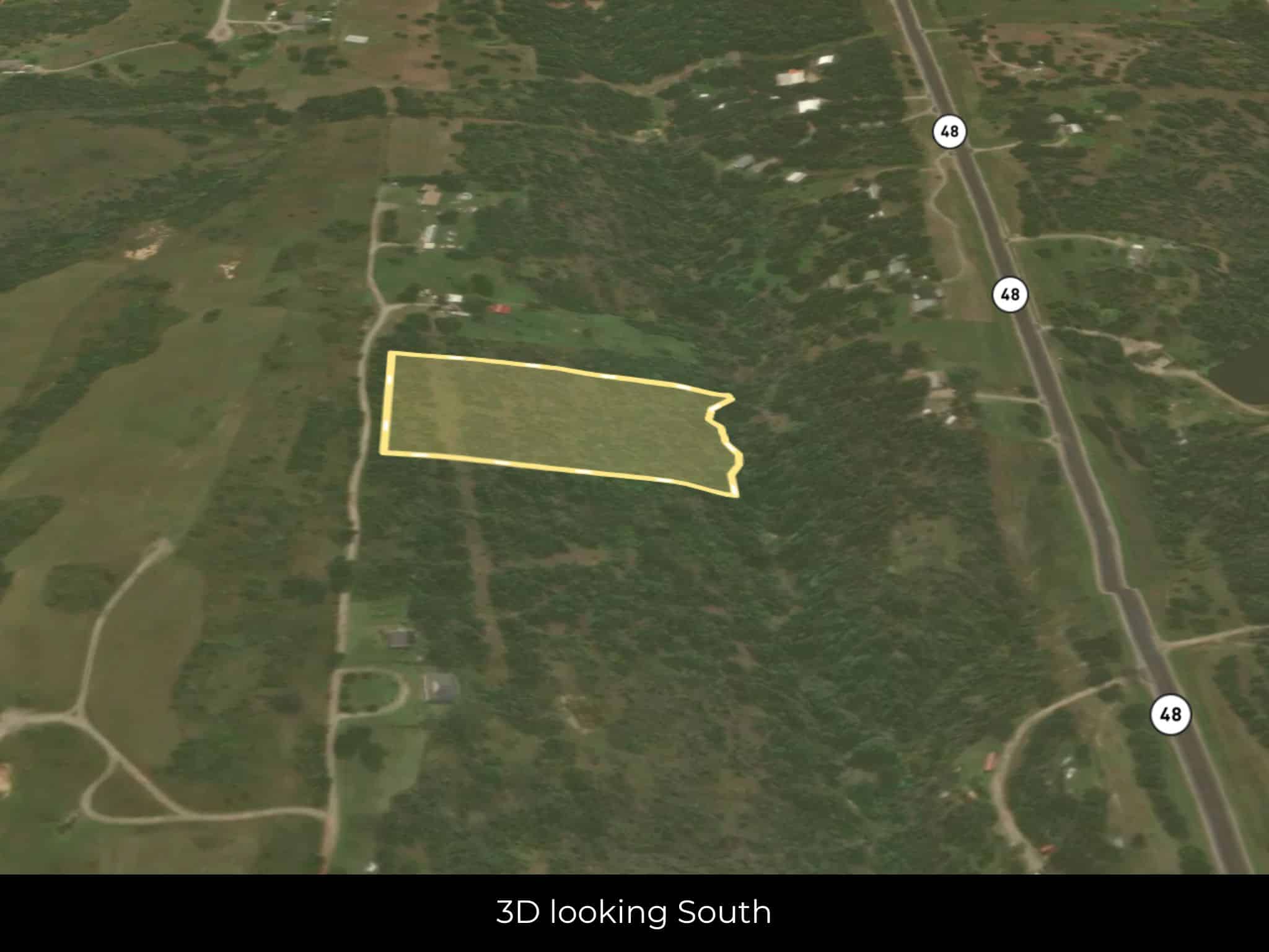
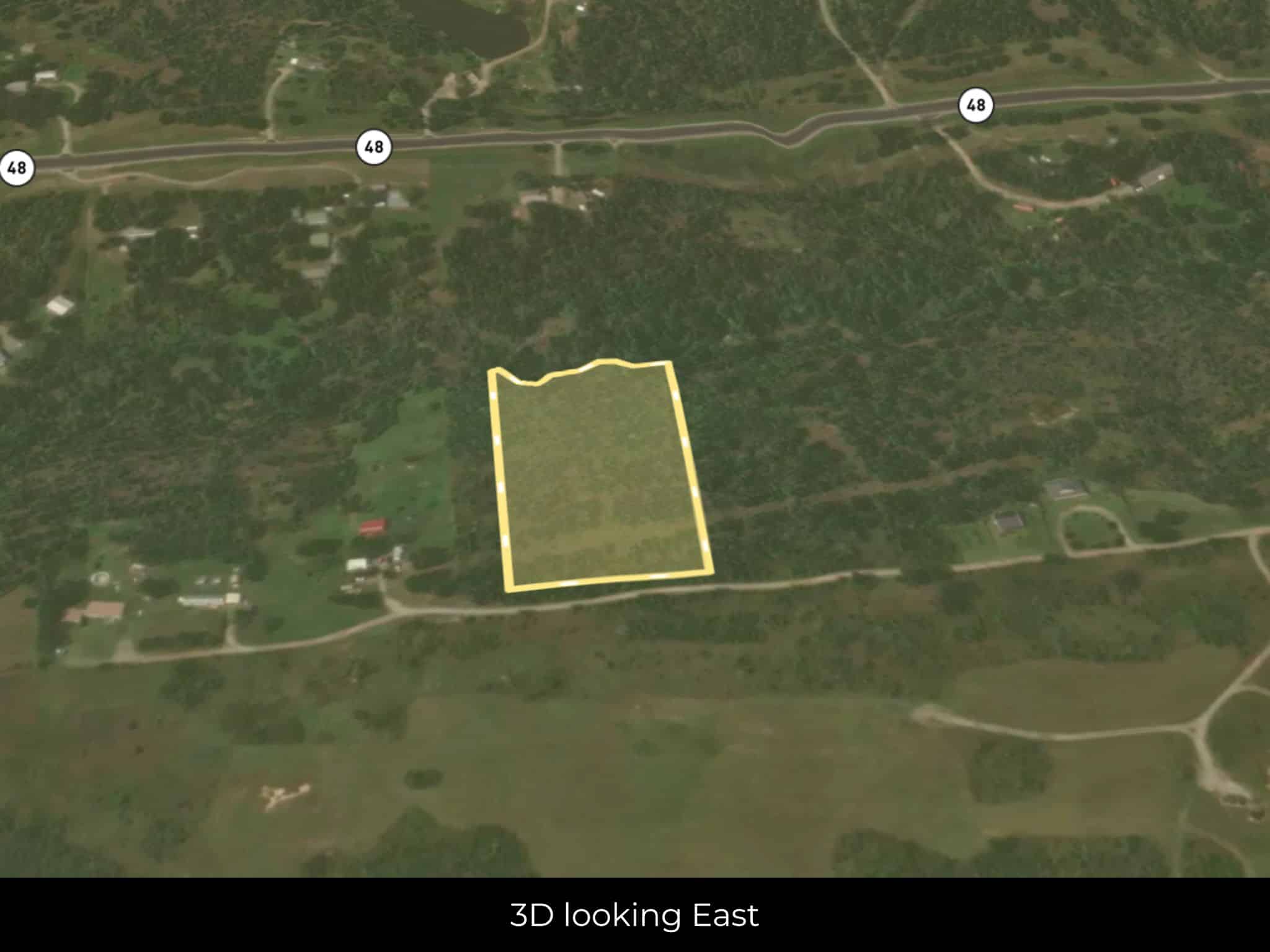
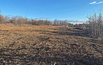
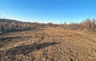
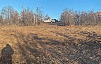
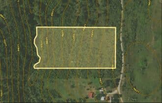
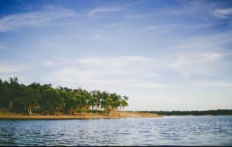
Country living just outside the city! This five-acre lot is the perfect haven from the daily hustle
and bustle of urban living. It is located near the end of a quiet dirt road and has just a few nearby
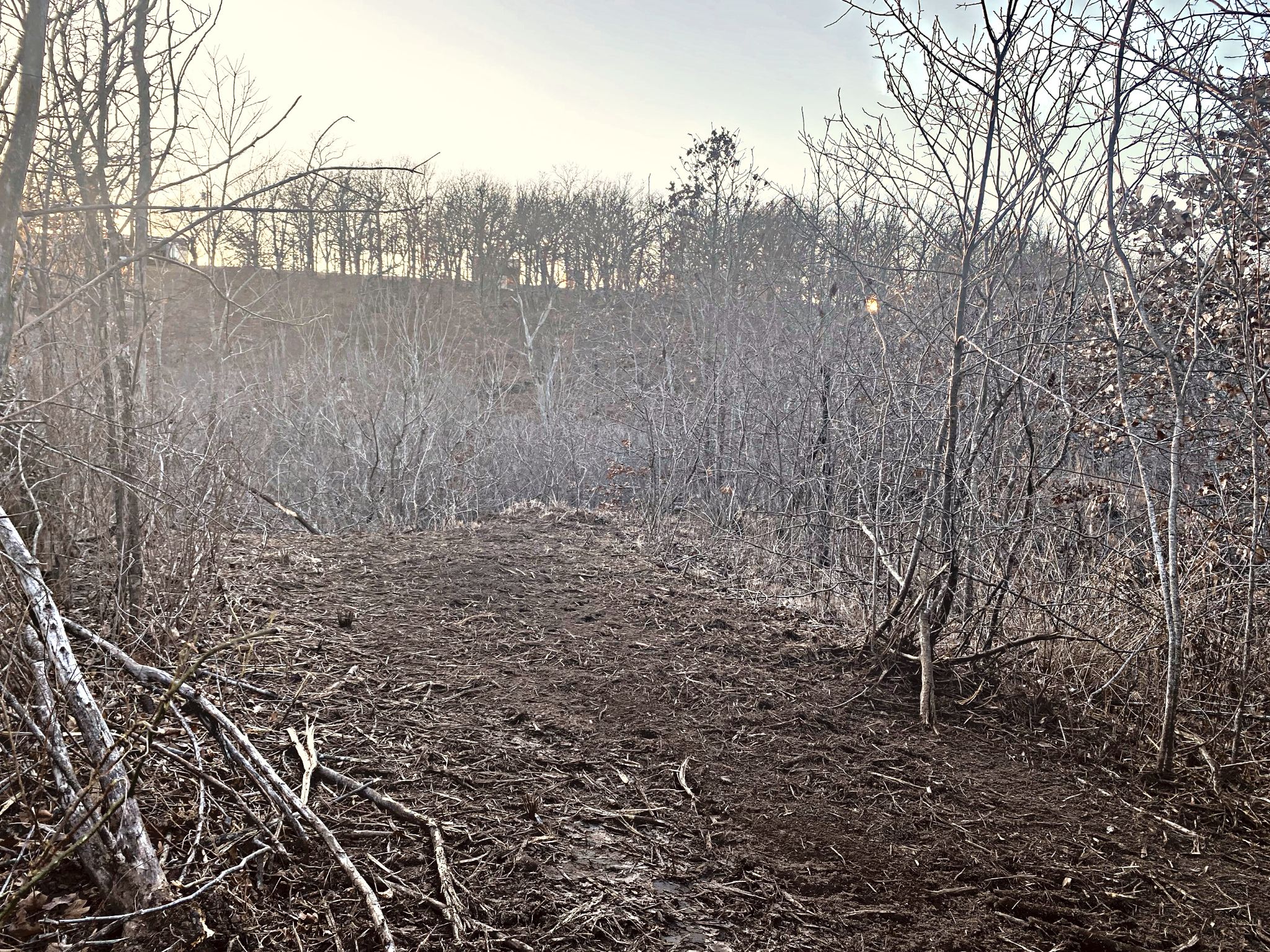
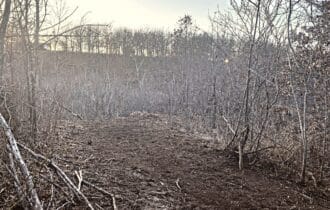
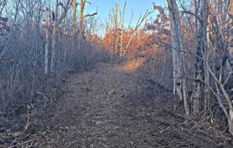
neighbors. A few trees are along the road for privacy, and you will have your own private forest
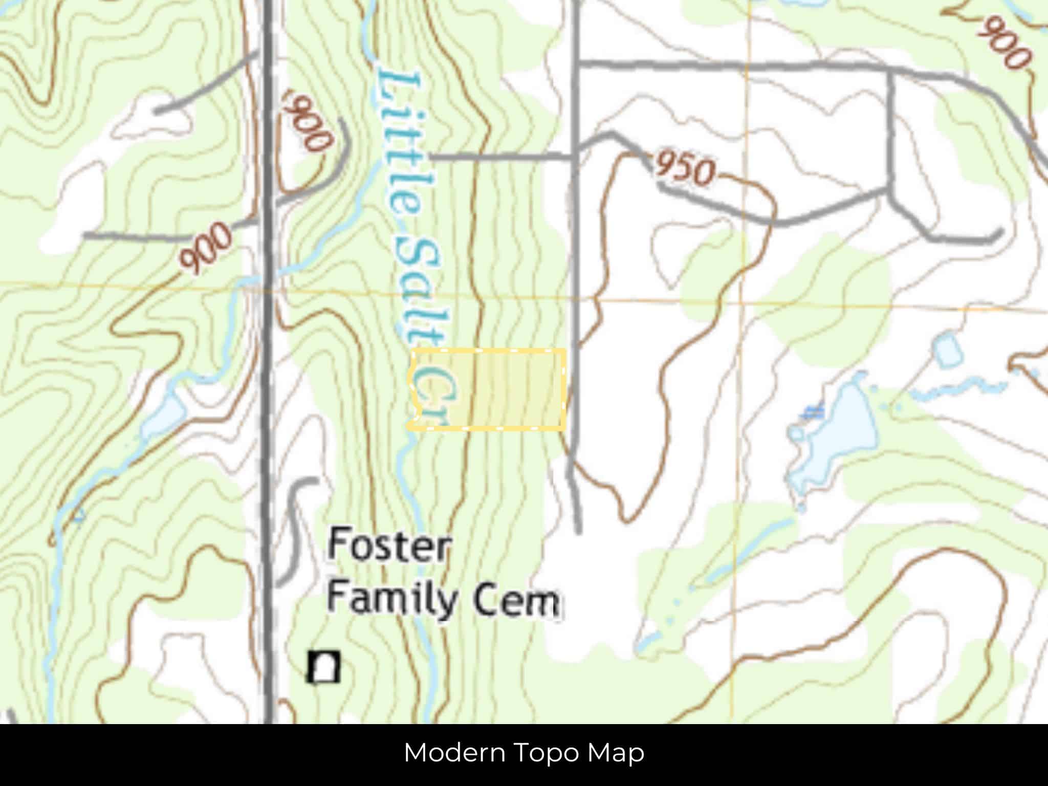
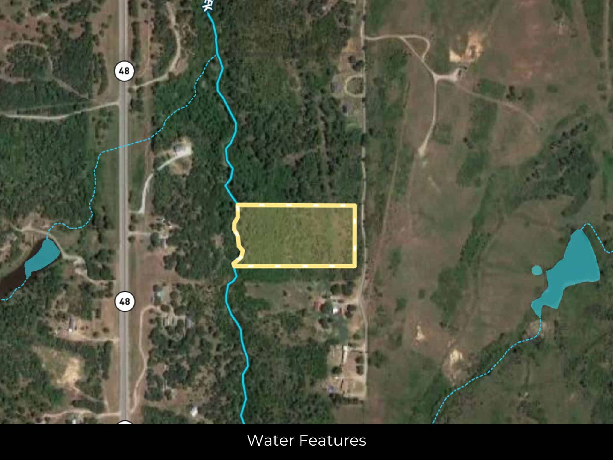
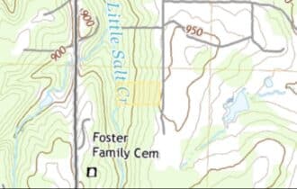
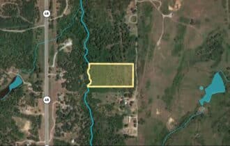
with Little Salt Creek flowing through it on the western edge of the property. Bring all your
ideas! Mobile, manufactured, and site-built homes are allowed. Summers here are hot and
humid, while winters are cold and windy. However, the area has long, pleasant springs and falls,
perfect for enjoying your property.
Tulsa is just 30 miles away – an easy half-hour drive for a daily commute or shopping trip to
town. With 411,000 residents, you will find everything you need in the state’s second-largest
city. The oil industry fuels the economy, and the city’s art deco architecture draws aesthetes from
around the world. The arts are an important part of the city’s culture. Stroll through the Arts
District, visit the Woody Guthrie Museum, learn about the importance of jazz music in American
culture at the Jazz Hall of Fame, or explore American works of art at the Gilcrease Museum.
Spend a day with your kids at the Tulsa Zoo, the Oklahoma Aquarium, or the Tulsa Air and
Space Museum.
This five-acre property is just the right distance from the city for an easy daily commute, but has
all the features you want in a quiet county escape. It is priced to sell and will not last long, so
contact me today for more information.
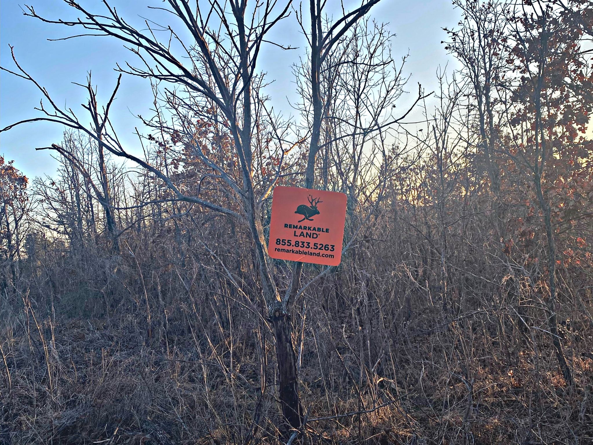
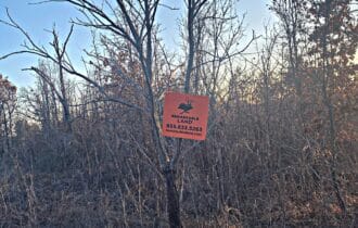
Visiting the Property
You are welcome to visit the property at your convenience and anytime while it's still available. However, we HIGHLY recommend checking-in with us prior to visiting the property in case the property has gone under contract or already sold.
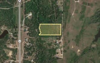
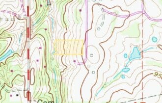
The interactive map above is generated with MapRight. MapRight has free apps for Apple IOS and Android that can be used to track your location and route throughout a property and provide driving directions.
MapRight for Apple –> Download App.
MapRight for Android –> Download App.
To launch the interactive map on your device, 1) install the free MapRight app using one of the two links above for Apple or Android, and 2) click the “View Full Screen” link (see above) in the embedded map on the property listing page.
Property Information
Parcel Size
5 Acre
State
Oklahoma
County
Creek
Nearest Cities
Tulsa, OK
Parcel #
TBD
Address
00 S 349TH WEST AVE, MANNFORD, OK, 74044
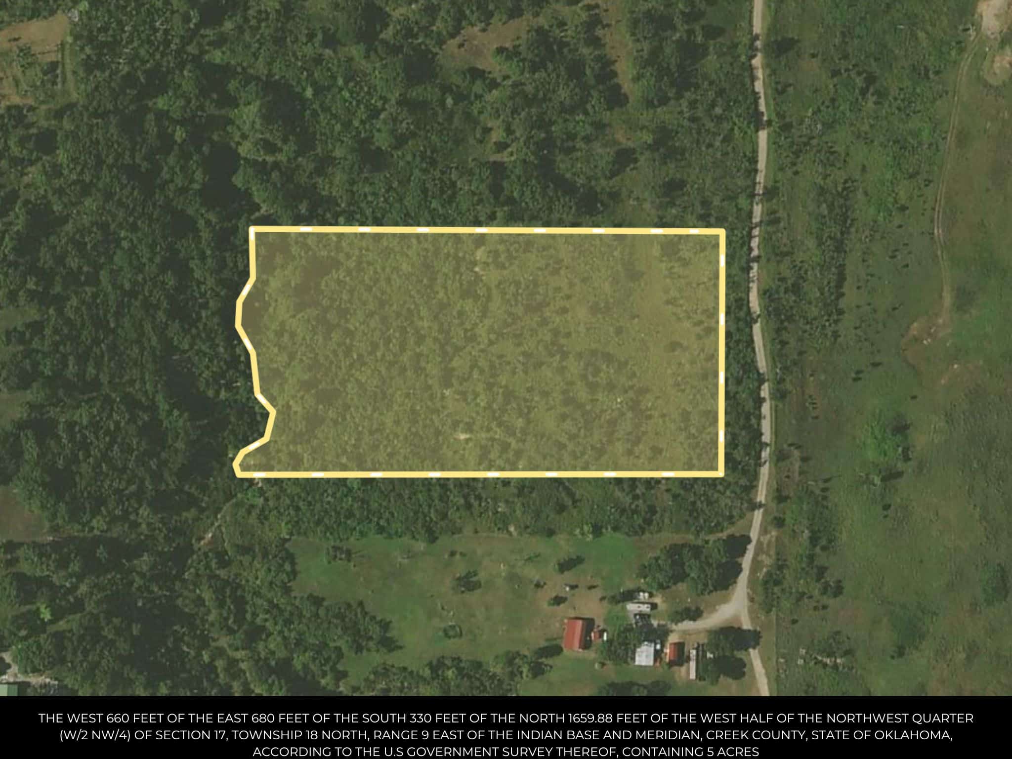
Legal Description
THE WEST 660 FEET OF THE EAST 680 FEET OF THE SOUTH 330 FEET OF THE NORTH 1659.88 FEET OF THE WEST HALF OF THE NORTHWEST QUARTER (W/2 NW/4) OF SECTION 17, TOWNSHIP 18 NORTH, RANGE 9 EAST OF THE INDIAN BASE AND MERIDIAN, CREEK COUNTY, STATE OF OKLAHOMA, ACCORDING TO THE U.S GOVERNMENT SURVEY THEREOF, CONTAINING 5 ACRES
Zip Code
74044
Annual Property Taxes
$72
Ag Exemption
No
HOA
None
HOA per Year
None
Survey Available
Yes
School District
Olive Public School
Liens and Back Taxes
None!
Source Deed
Sent for Filing.
Title Status
Free & Clear!
Outgoing Conveyance
Warranty Deed
Property Features
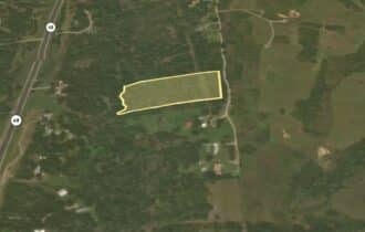
Acres
5.0
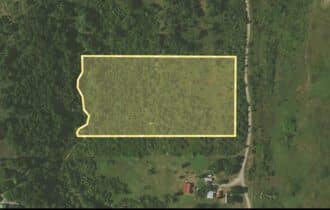
Dimension
639.03 feet X 332.18 feet
County
Creek
Access
Yes
Power
Yes
Water
Yes
Coordinates
36.043, -96.3876
Zoning
Res Vacant
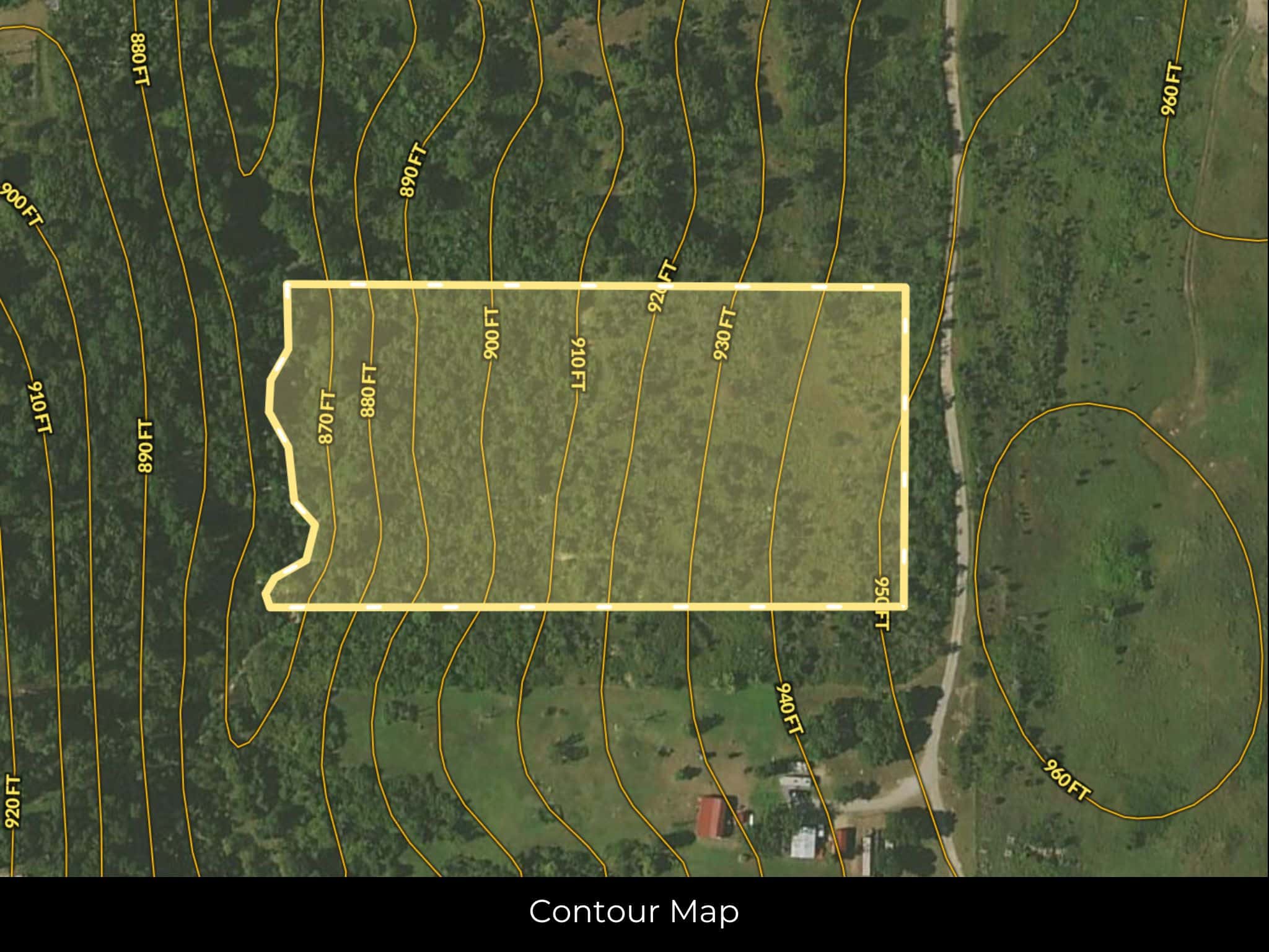
Elevation
915 ft
Terrain
Flat
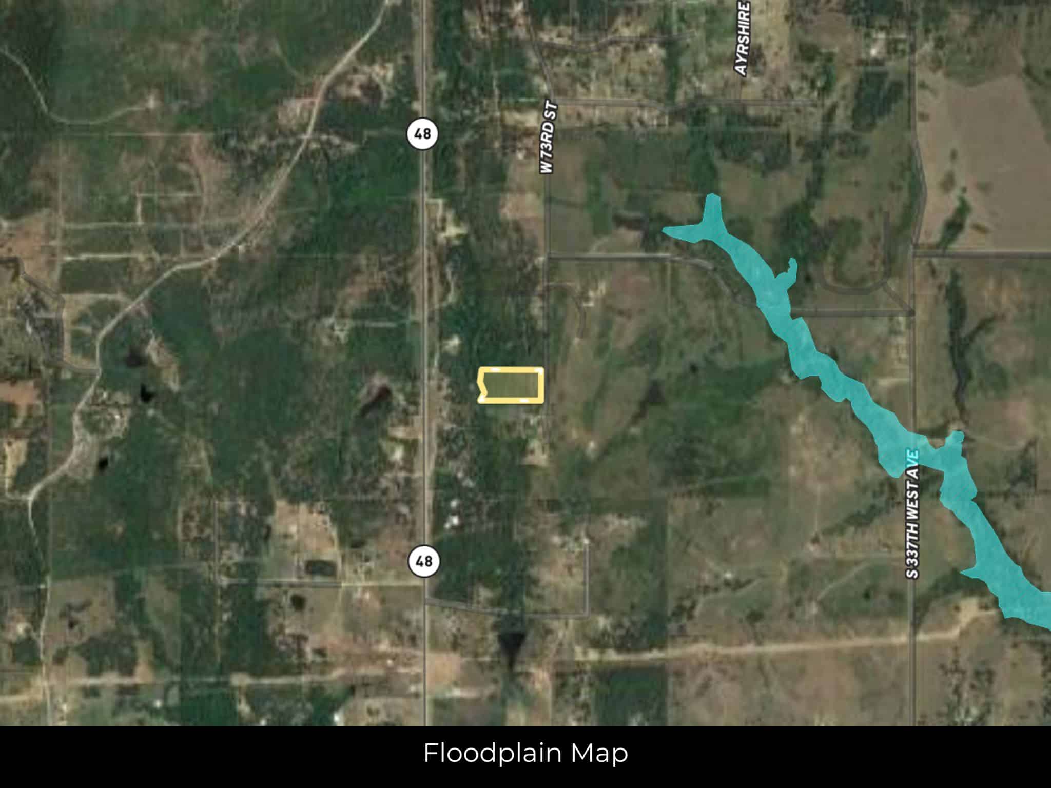
Floodplain
No
Duplexes
No
Mobiles
Yes
Tiny Homes
No
Barndominiums
Yes
RV's
No
Camping
Yes
Property Survey, HOA, & Additional Documents
Utilities
🔌 Power: Indian Electric Cooperative Inc or Solar, wind, propane, or alternative energy source.
💧 Water: Water well, collection, hauling/delivery, or alternative.
🚽 Sewer:Septic or alternative sewer system.
☎️ Phone: cellular, VOIP (see internet below), and satellite phone through Iridium, Globalstar, or Inmarsat.
🌐 Internet: satellite internet through Starlink, HughesNet, or ViaSat.
📺 Cable: satellite cable through Dish or DirectTV.
Nearby Cities, Conveniences, and Attractions
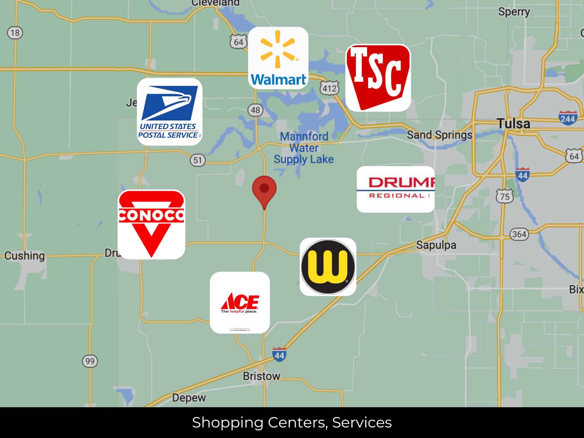
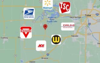
4 min (2.9 miles) to Conoco, Bristow, OK (about)
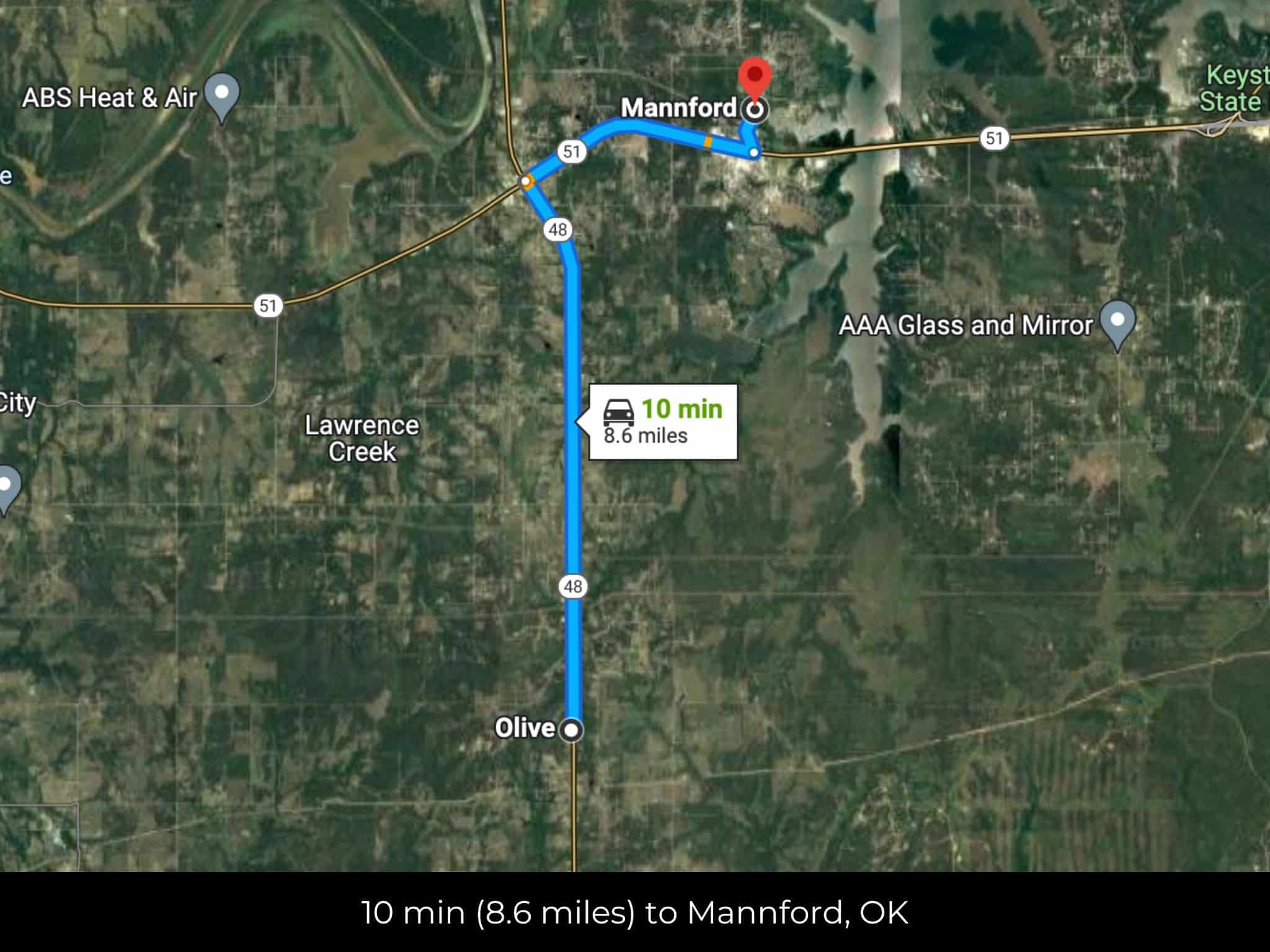
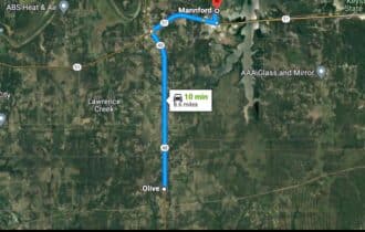
10 min (8.6 miles) to City of Mannford (about)
15 min (14.8 miles) to Tractor Supply Co, Bristow, OK (about)
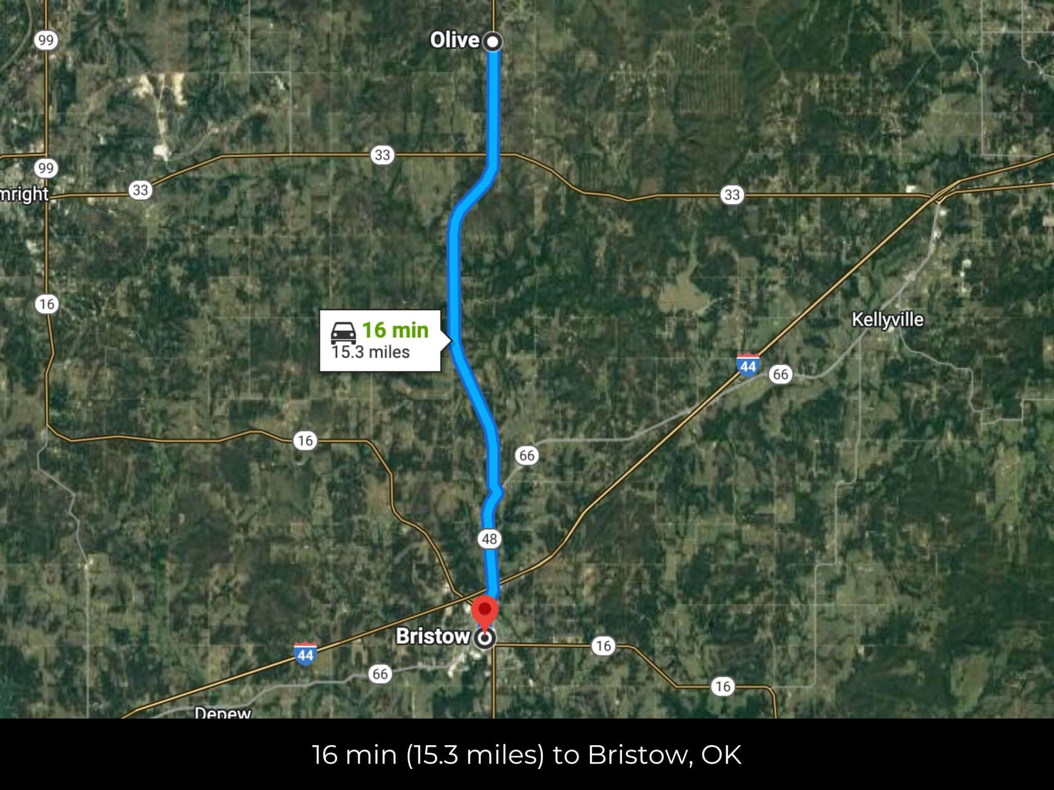
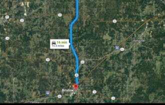
16 min (15.3 miles) to City of Bristow (about)
17 min (15.2 miles) to Williams Food, Bristow, OK (about)
18 min (16.6 miles) to Drumright Regional Hospital, Drumright, OK (about)
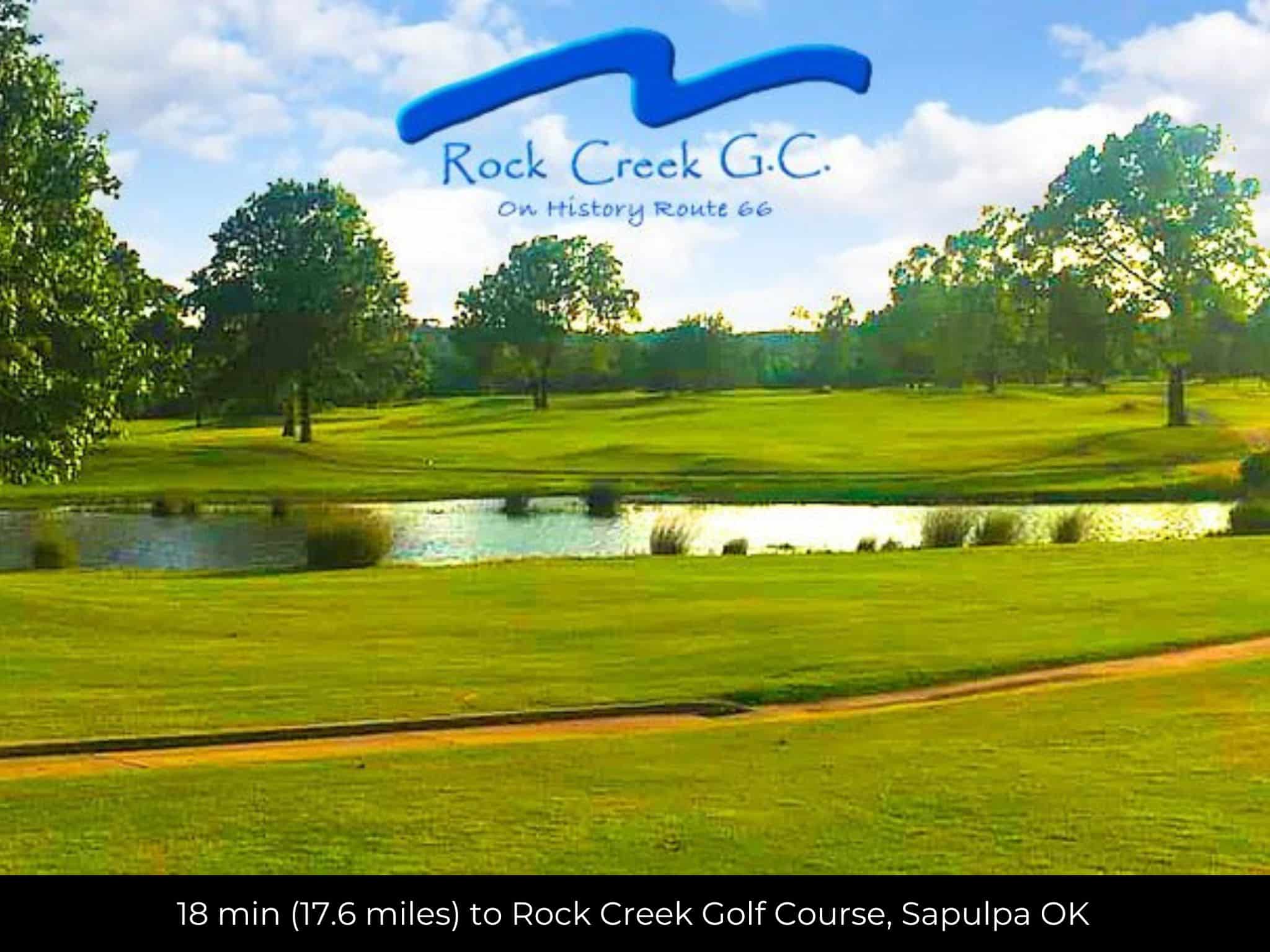
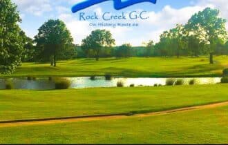
18 min (17.6 miles) to Rock Creek Golf Course, Sapulpa OK (about)
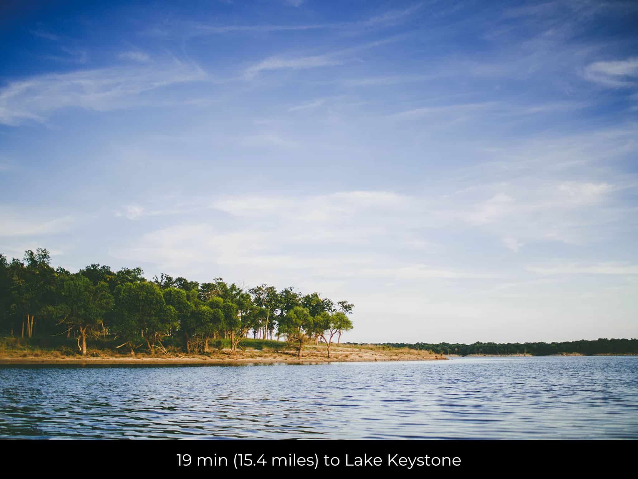
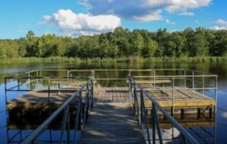
19 min (15.4 miles) to Lake Keystone (about)
19 min (17.5 miles) to Walmart, Sapulpa, OK (about)
19 min (18.8 miles) to USPS, Oilton, OK (about)
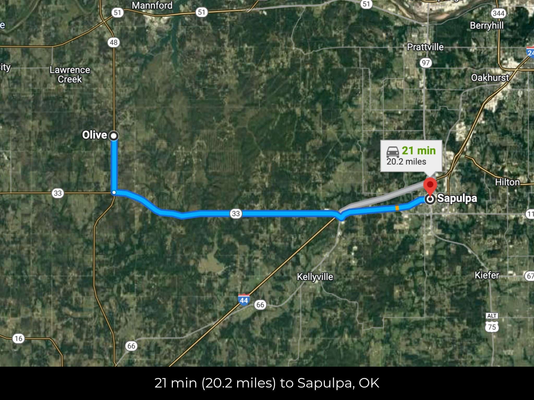
20 min (18.6 miles) to City of Sapulpa (about)
21 min (18.8 miles) to Westlake Ace Hardware, Sapulpa, OK (about)
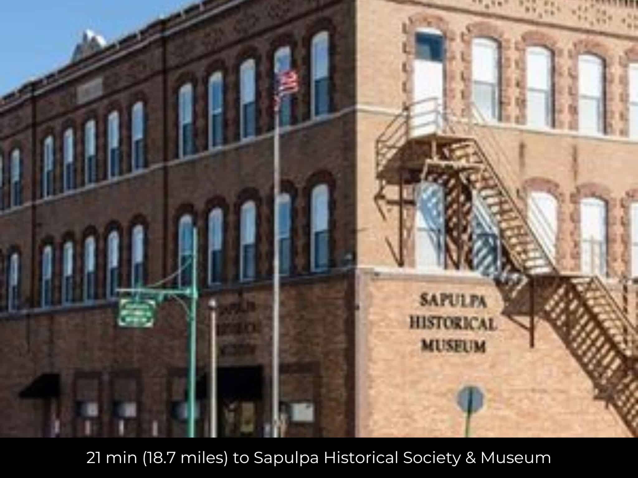
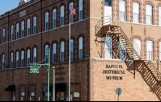
21 min (18.7 miles) to Sapulpa Historical Society & Museum (about)
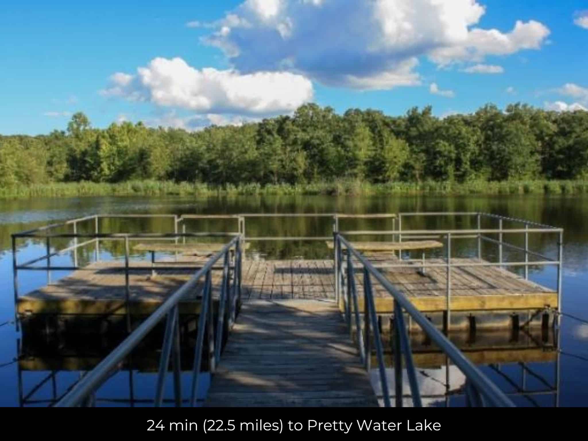
24 min (22.5 miles) to Pretty Water Lake (about)
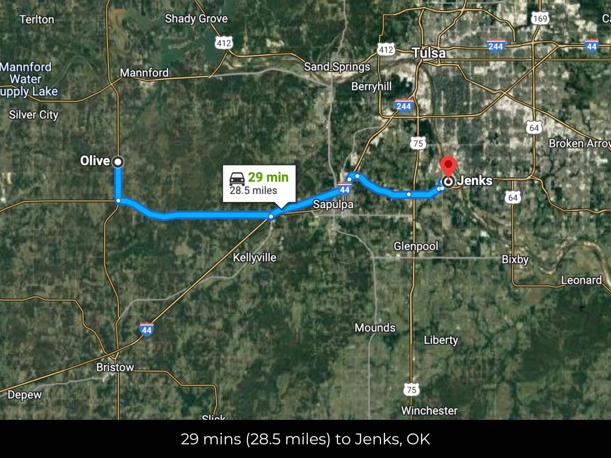
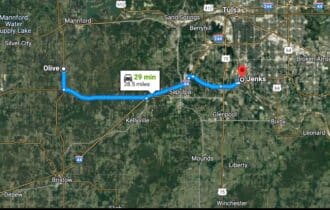
28 min (28.2 miles) to City of Jenks (about)
32 min (31.5 miles) to City of Tulsa (about)
33 min (31.2 miles) to Tulsa Riverfront Park (about)
35 min (30.4 miles) to Walnut Creek State Park (about)
35 min (35.4 miles) to The University of Tulsa (about)
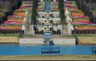
37 min (33.3 miles) to Tulsa Botanical Gardens (about)
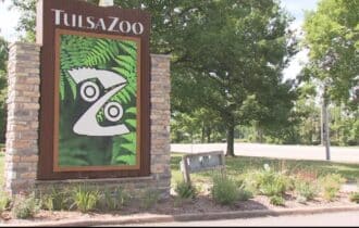
42 min (39.9 miles) to Tulsa Zoo (about)
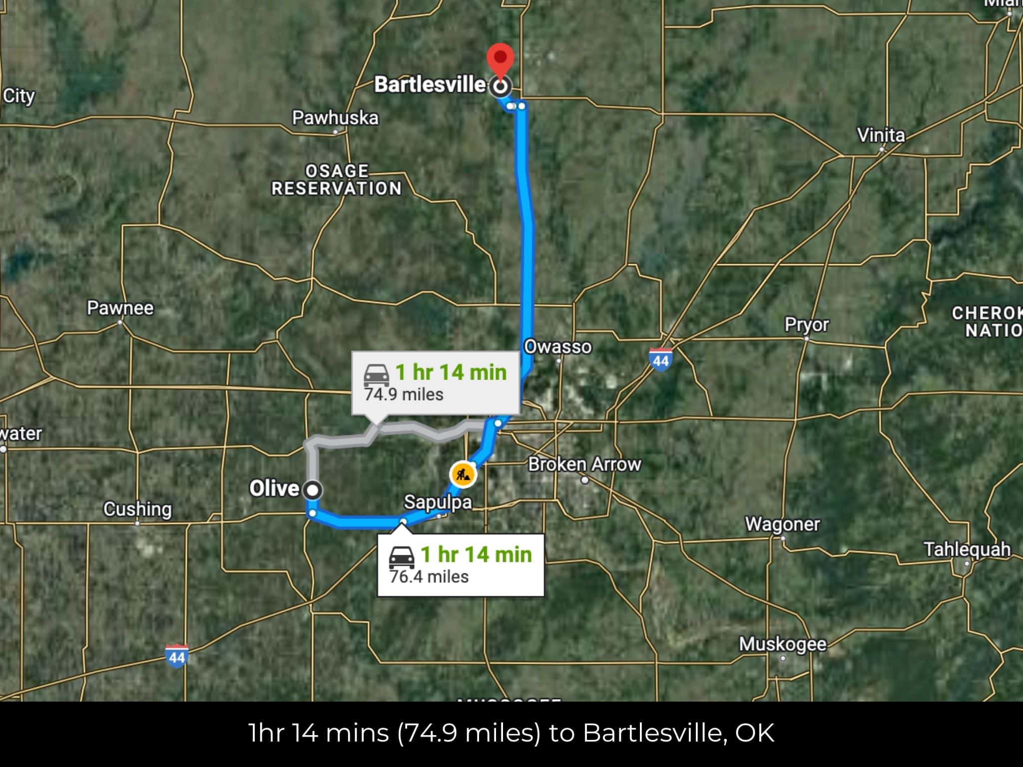
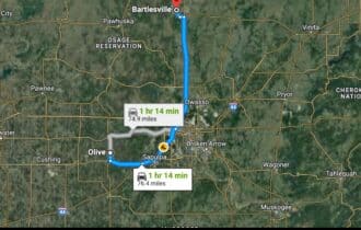
1 hr 14 min (76.4 miles) to City of Bartlesville (about)
County Contacts
Creek County Assessor Haley Anderson (918) 224-4508 (website)
Creek County Treasurer Don Engle (918) 224-4501 (website)
Creek County Clerk Jennifer Mortazavi (918) 227-6305 (website)
Creek County Zoning Wendy Murray (918) 227-6369 (website)
Creek County Health (918) 224-5531 (website)
Creek County CAD (website)
Creek County GIS (website)
Closing Costs and Fees
$299
Document Prep Fee
Buyer will pay a $299 document preparation fee, which includes all postage and county recording fees. Seller will warrant title to the property.
$0
In-House Closing Fee
There will be no additional fees or expenses for an in-house closing. We will close in 14 days or less. This is the fastest, easiest, and cheapest way to close.
$1,500+
Title Company Fees*
Title Company costs are typically 2-5% of the purchase price with a minimum fee of around $1,500. Many states have legislated, standard insurance rates and other fees vary by the title company.
* If Buyer elects to close through a third-party title company, Buyer will bear all closing costs and expenses, including Seller’s title policy and Seller's escrow fees. Closing through a title company typically takes 30-45 days, depending on the county, title company, and transaction activity in the area.
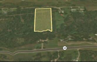
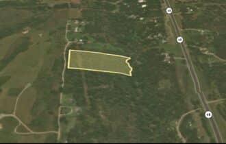
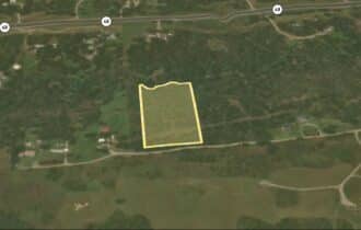
Driving Directions and GPS Coordinates
🚗 Driving Directions:Get on I-44 E 14 min (14.1 mi),Continue on I-44 E to Tulsa. Take exit 4C from I-244 E 15 min (16.6 mi), Take W 6th St to S Boulder Ave/South Boulder Ave W
📍 Northwest Corner: 36.0434, -96.3883 (Google Map)
📍 Northeast Corner: 36.0434, -96.3829 (Google Map)
📍 Southeast Corner: 36.0425, -96.3829 (Google Map)
📍 Southwest Corner: 36.0426, -96.3851 (Google Map)
📍 Center Point: 36.043, -96.3876 (See embedded Google Map below 👇.)
Google Map
If you click the blue Directions link below, 👇 you can get Google turn-by-turn directions to the property on any device. The map coordinates for the Google Map below are for the approximate center of the property and not the entrance, gate, or primary access point for the property. Google Maps may provide driving directions that require the use of private or abandoned roads or may require you to go through gates located on private property. Do not trespass on private property! Some properties will require a 4-wheel drive vehicle or may be inaccessible in certain weather conditions. Please don't get stuck or lost.
Additional Notes
As-Is and As-Available: This property is being sold property “as-is” and “as-available.” No representations as to fitness for a particular purpose have been made. No verbal claims or promises have been made. Please see our Terms of Service for more information.
Contract: After making your initial deposit, we will email you the purchase and sale agreement, which includes a warranty deed. Agreements are prepared manually and will be sent out Monday through Friday between 9 AM and 5 PM CST. Thank you for your patience.
No Monthly Payments: We are not offering seller financing on this property. This is an all-cash transaction. We are not offering a payment plan. If you would like to finance your purchase of the property, please contact a third-party lender prior to making your deposit. We will not sign a purchase and sale agreement that is contingent upon third-party financing without a pre-approval letter.
3% Buyer's Agent Commission: You are not required to have an agent or broker assist you with purchasing this property. However, if the Buyer does use an agent, and the Seller is made aware of this prior to an agreement on price or signed contract, the Seller will pay a 3% commission to the Buyer's licensed agent or broker.
Maps and GPS Coordinates: Maps and GPS coordinates are believed to be accurate, but accuracy is not guaranteed. The information contained in the maps should not be considered a “legal description,” and the maps and GPS coordinates are not a replacement for a survey. We have taken reasonable steps to ensure that parcel lines, maps, and coordinates are in fact accurate, but third-party geographical information system (GIS) providers, including information from the county, often contain errors and inaccuracies.