

SOLD: A Whole Section for Your Private, Quiet Escape
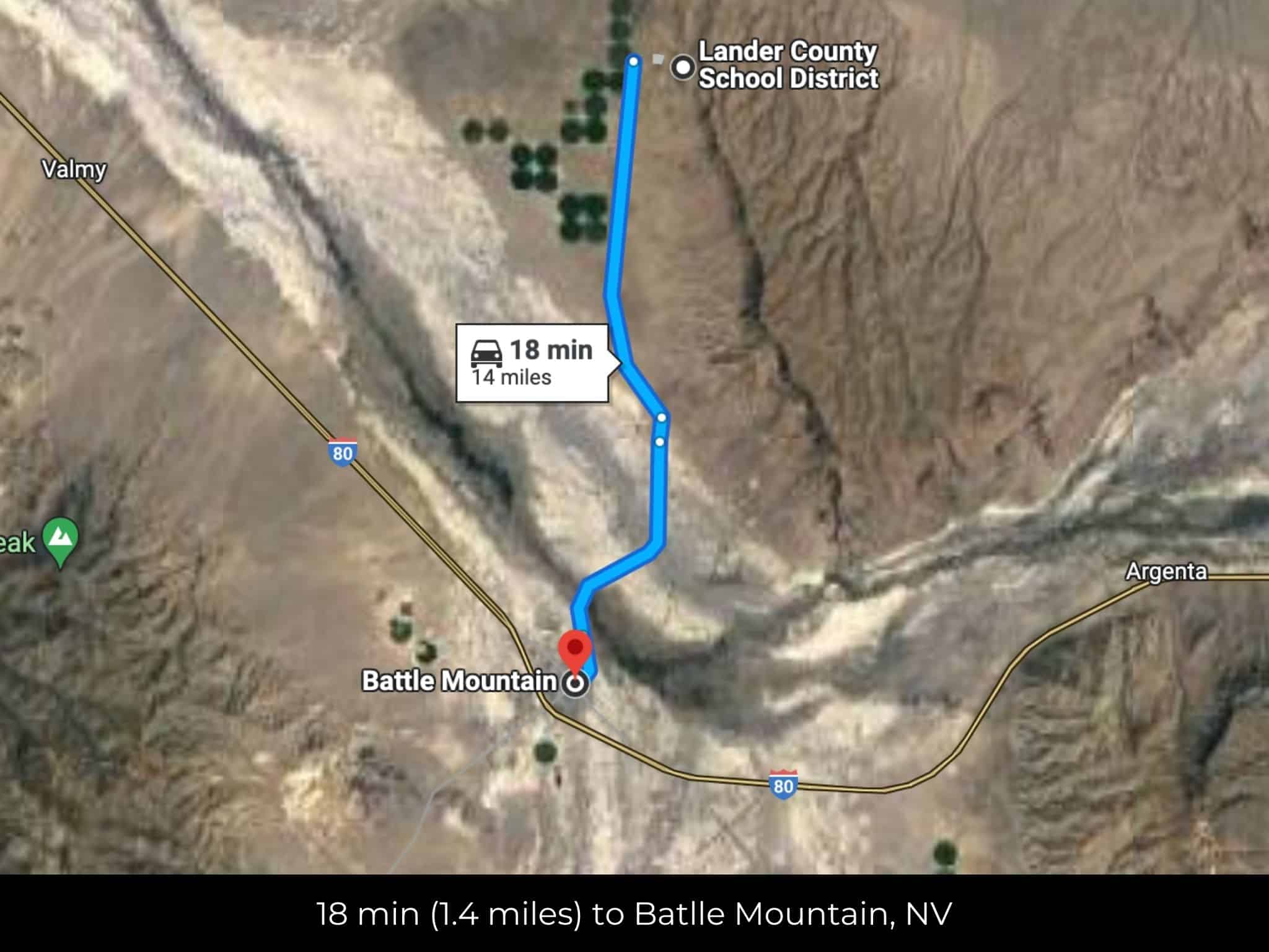
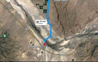
18 min (14.0 miles) Battle Mountain, NV (4122)
APN# 010-100-19
Payment
Payment Notes:
Warranty of Title: The property will be conveyed via a general warranty deed, guaranteeing you free and clear title to the property.
We accept Cash or 3rd party financing with a pre-approval letter.
We do not offer owner financing. No payment options are available for this property.
Paying a 3% Buyer's Agent Commission!
Property Description
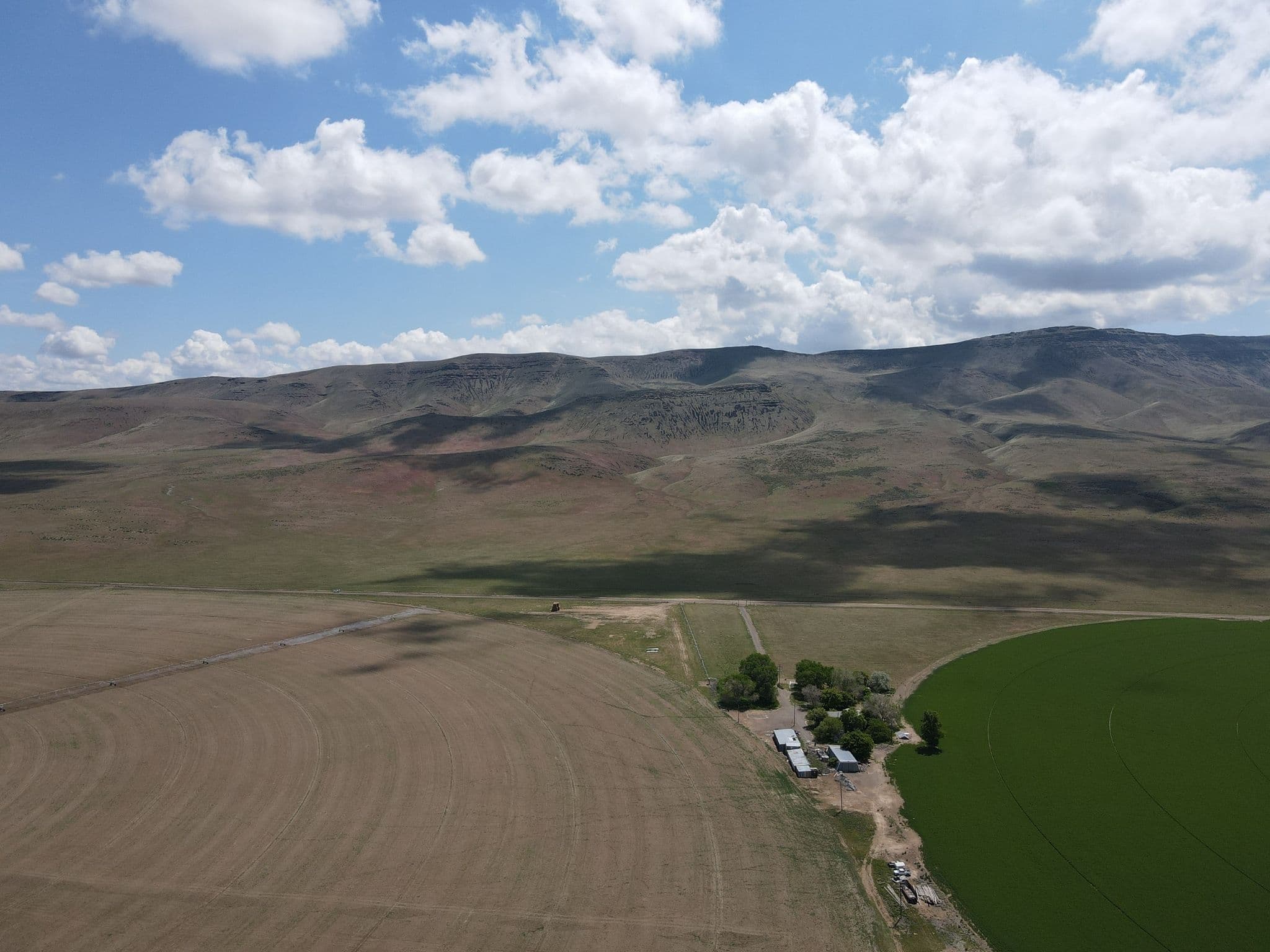
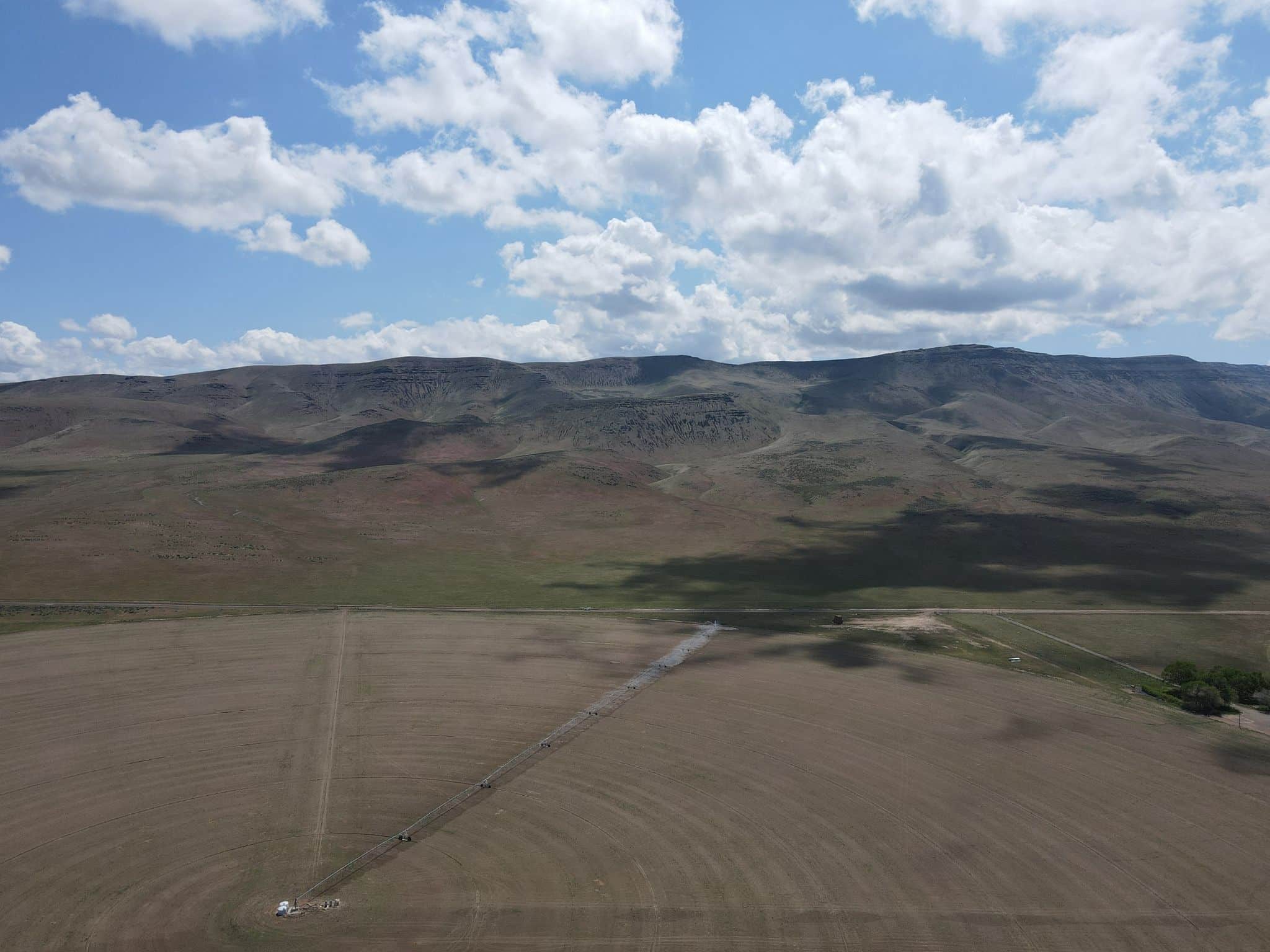
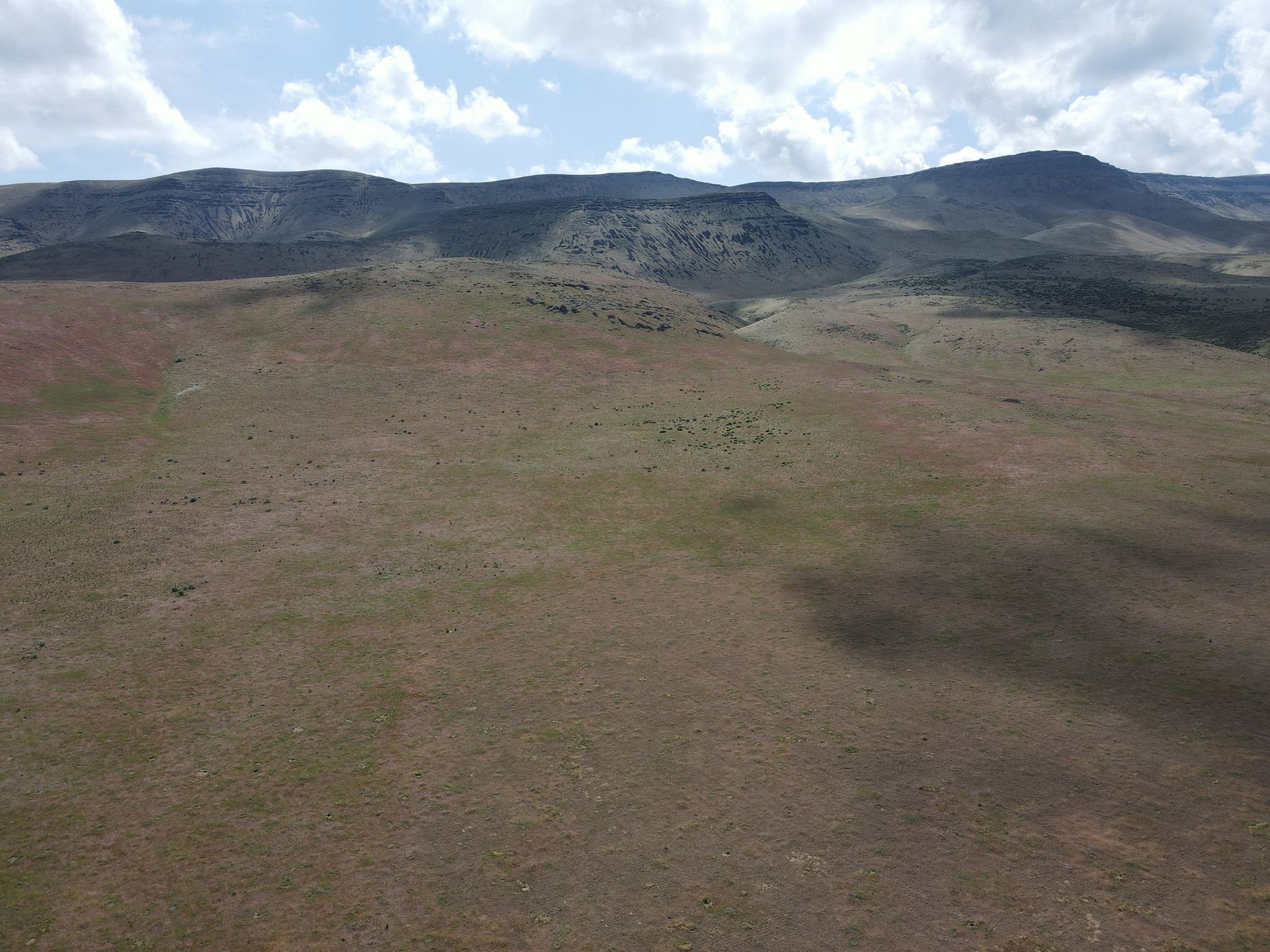
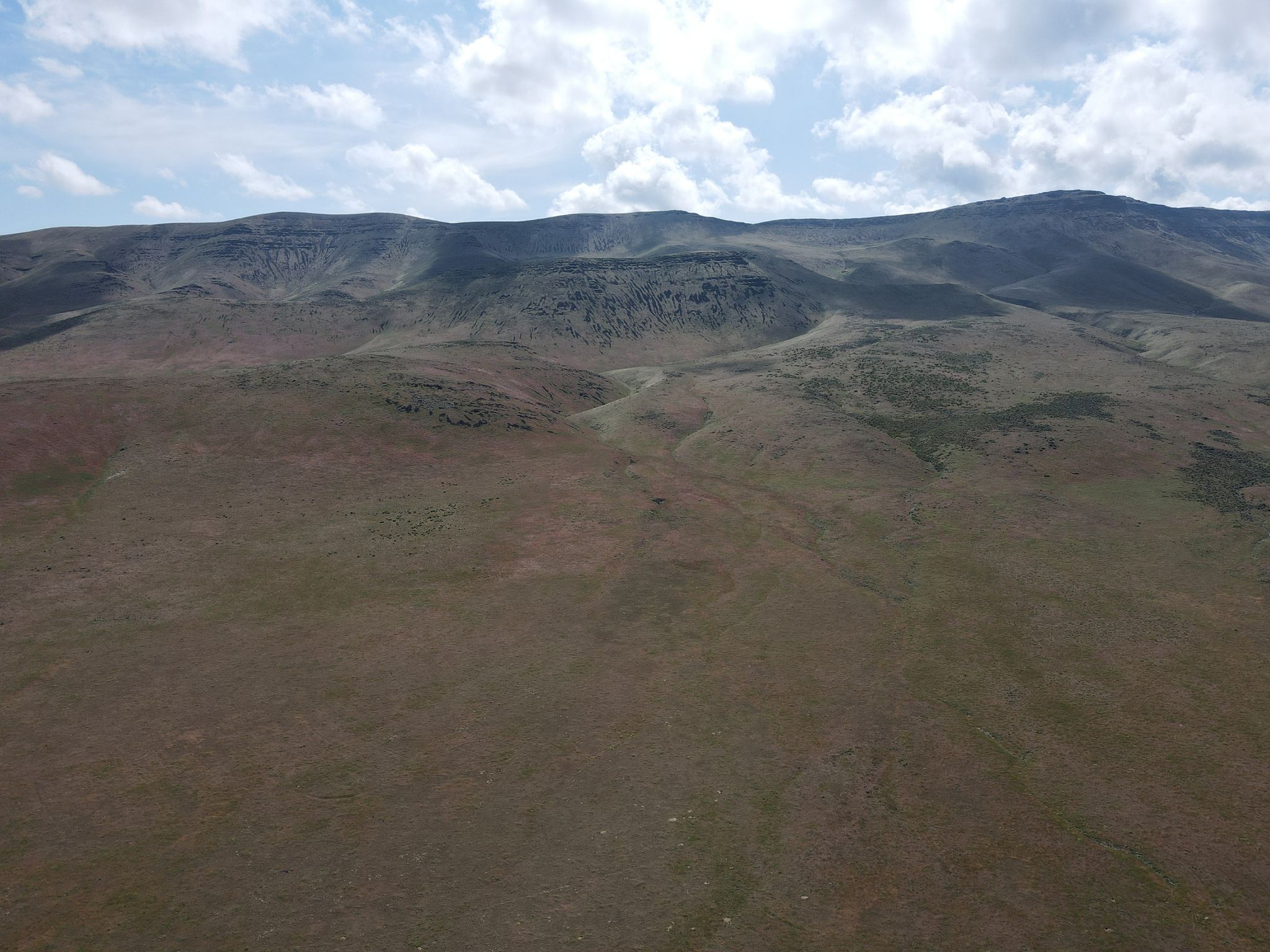
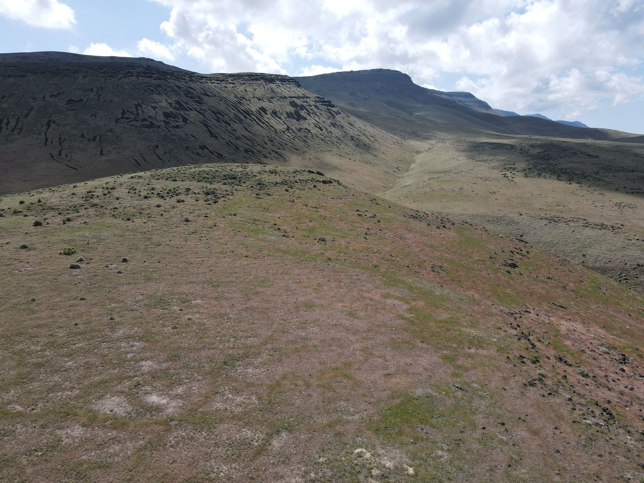
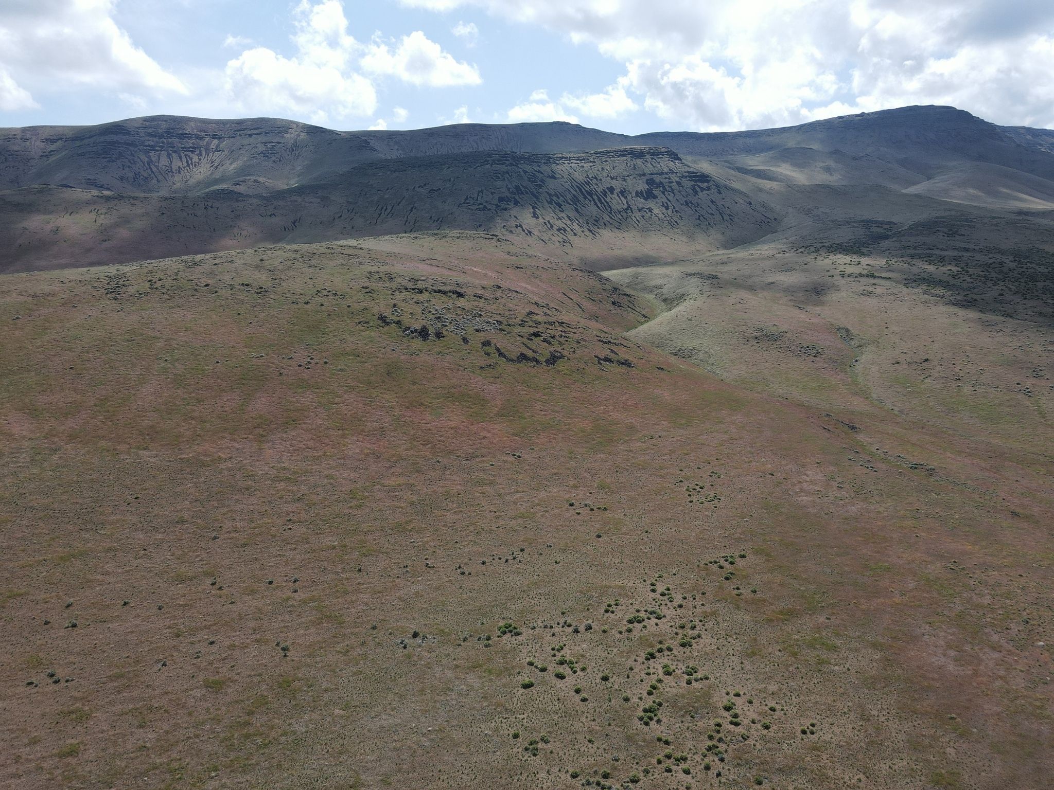
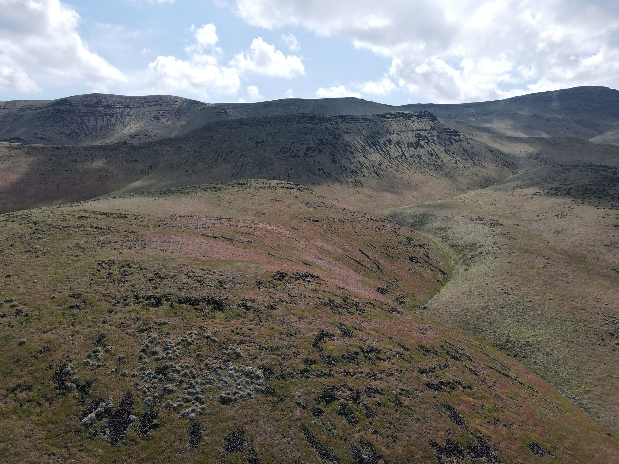
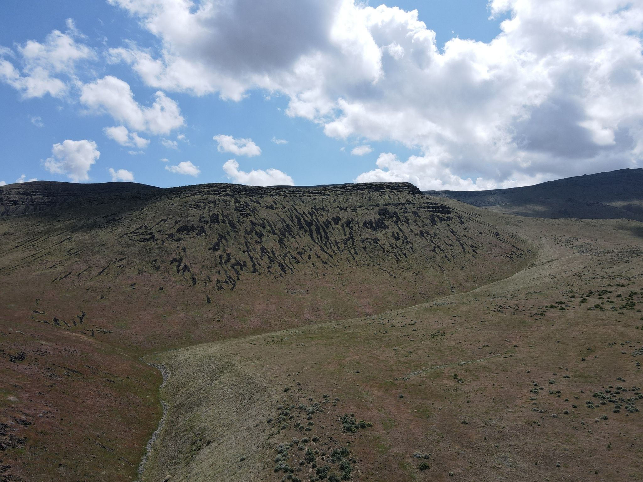
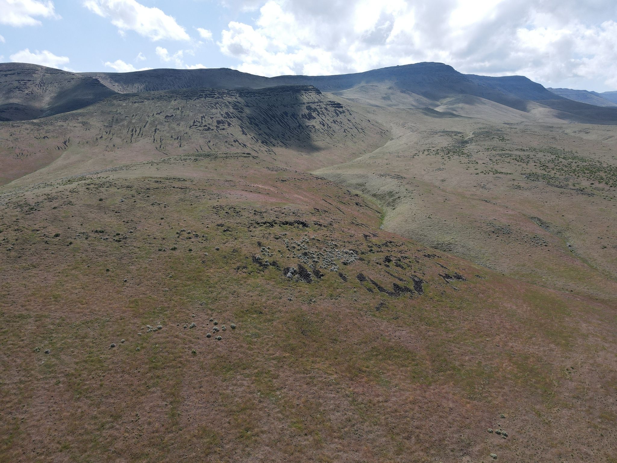
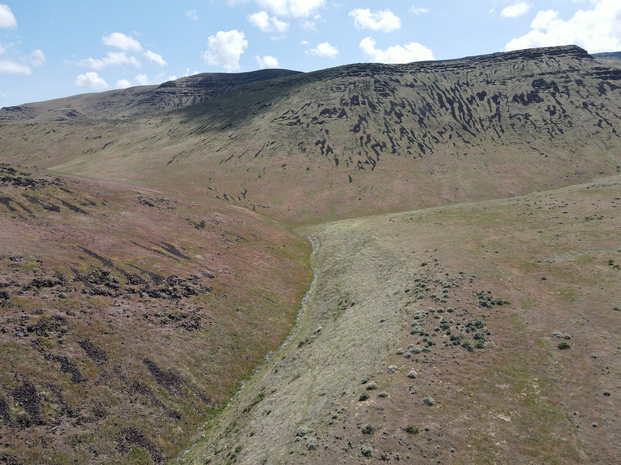
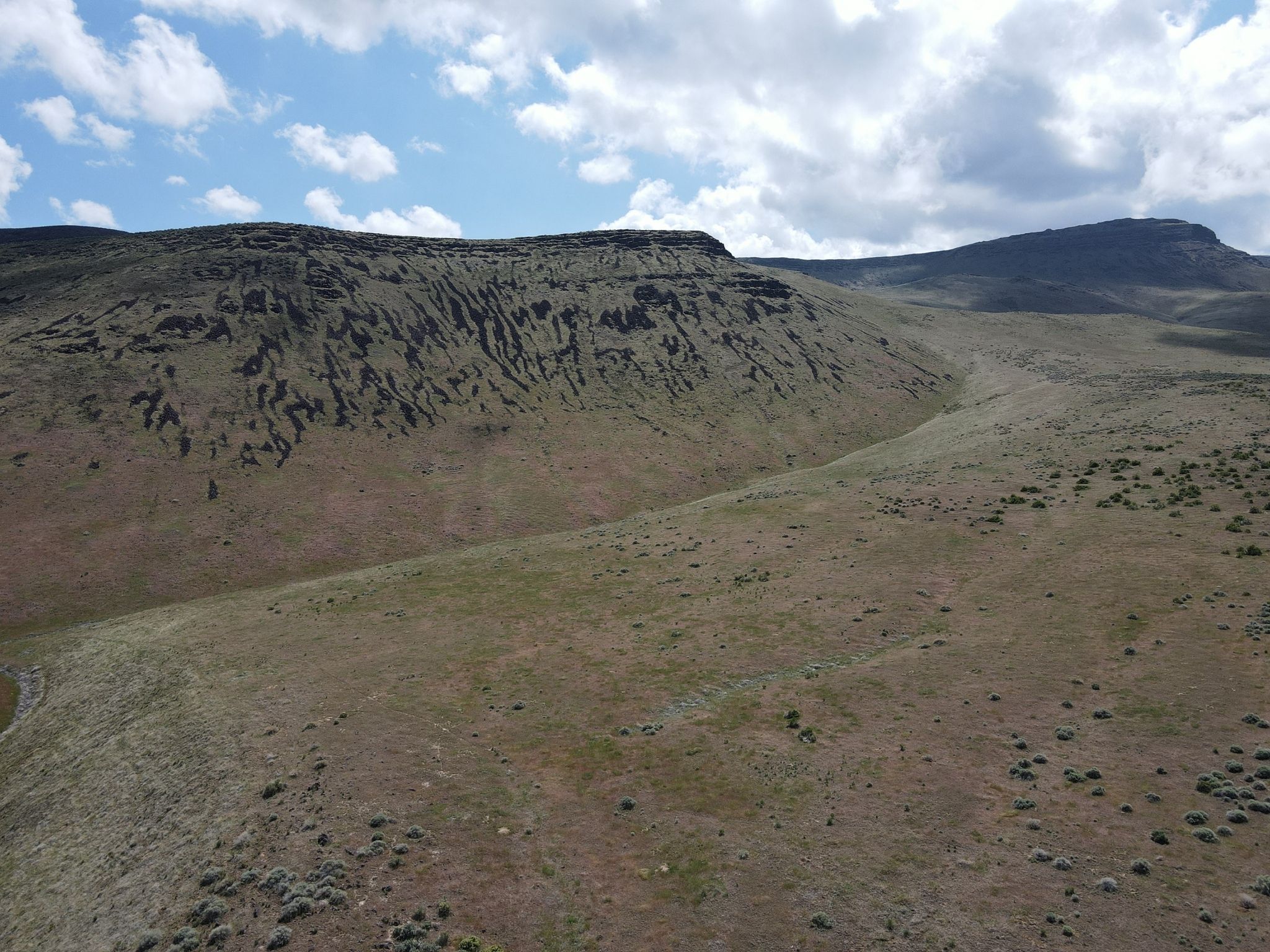
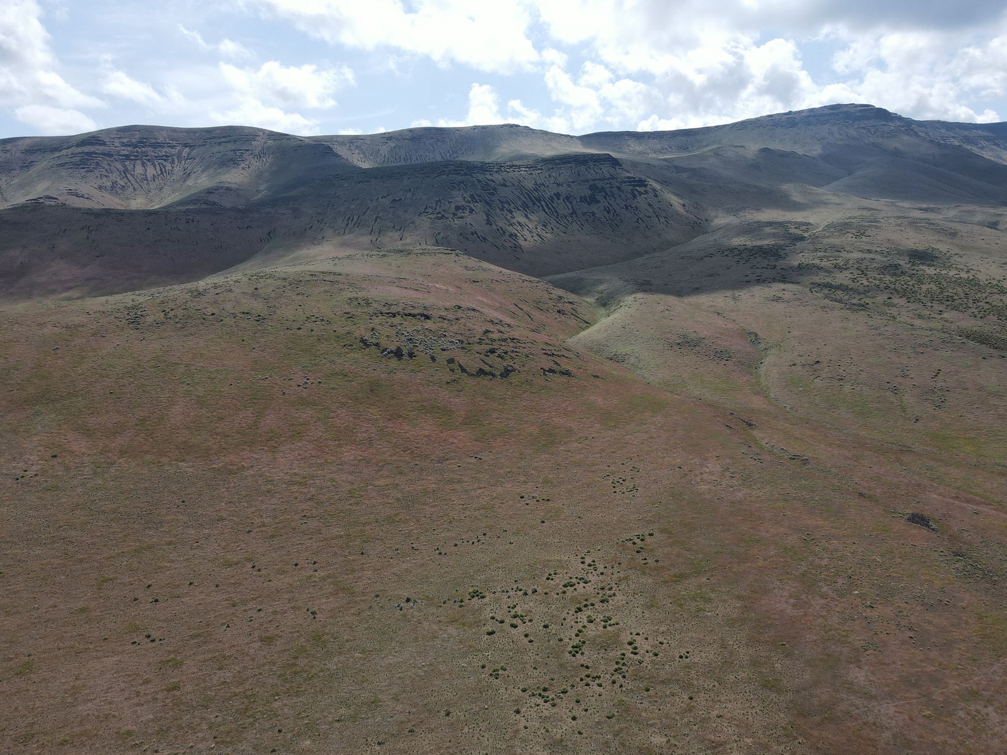
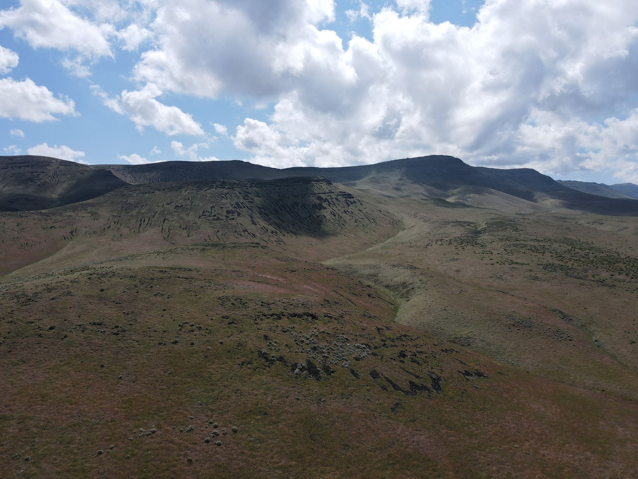
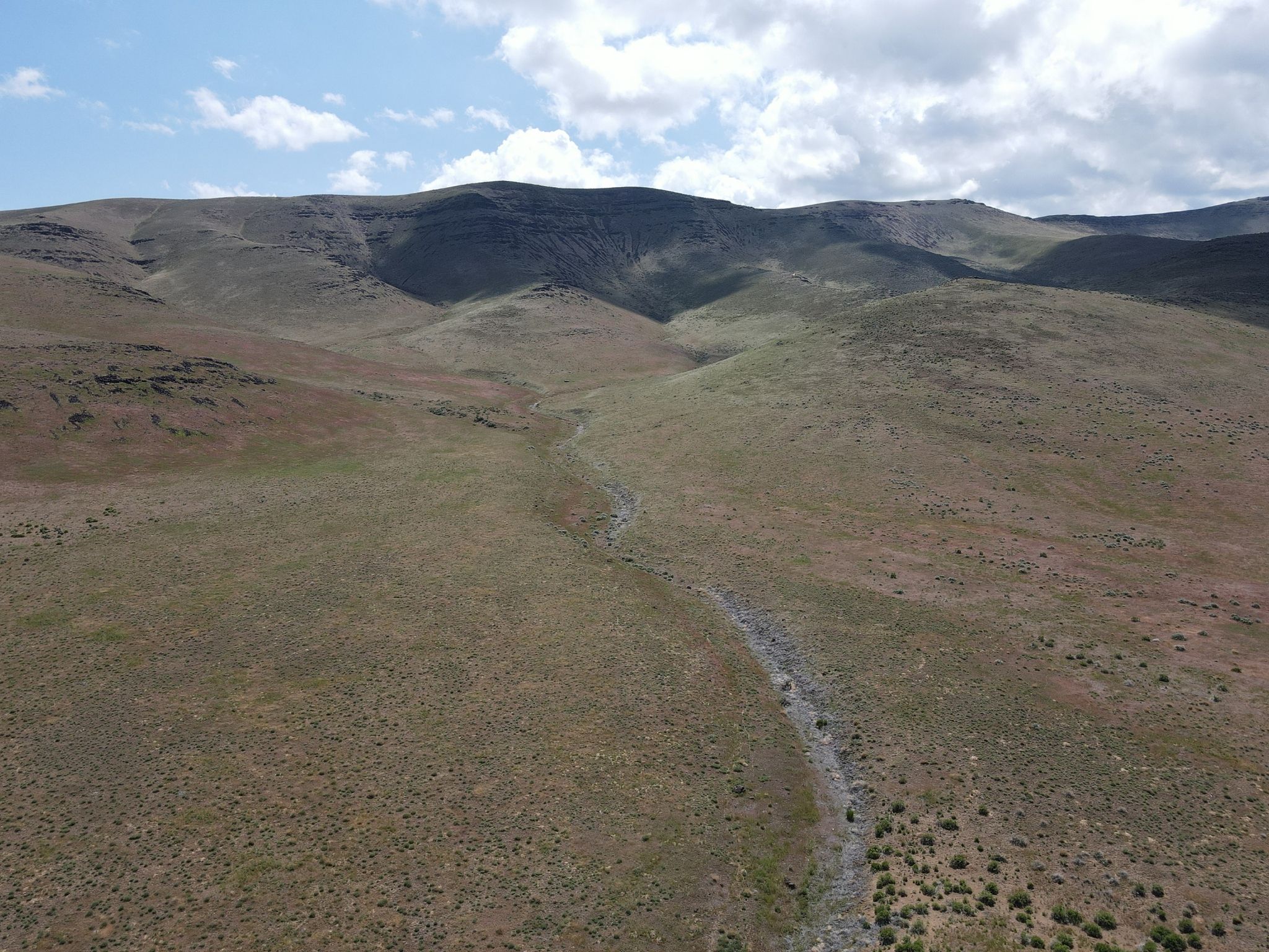
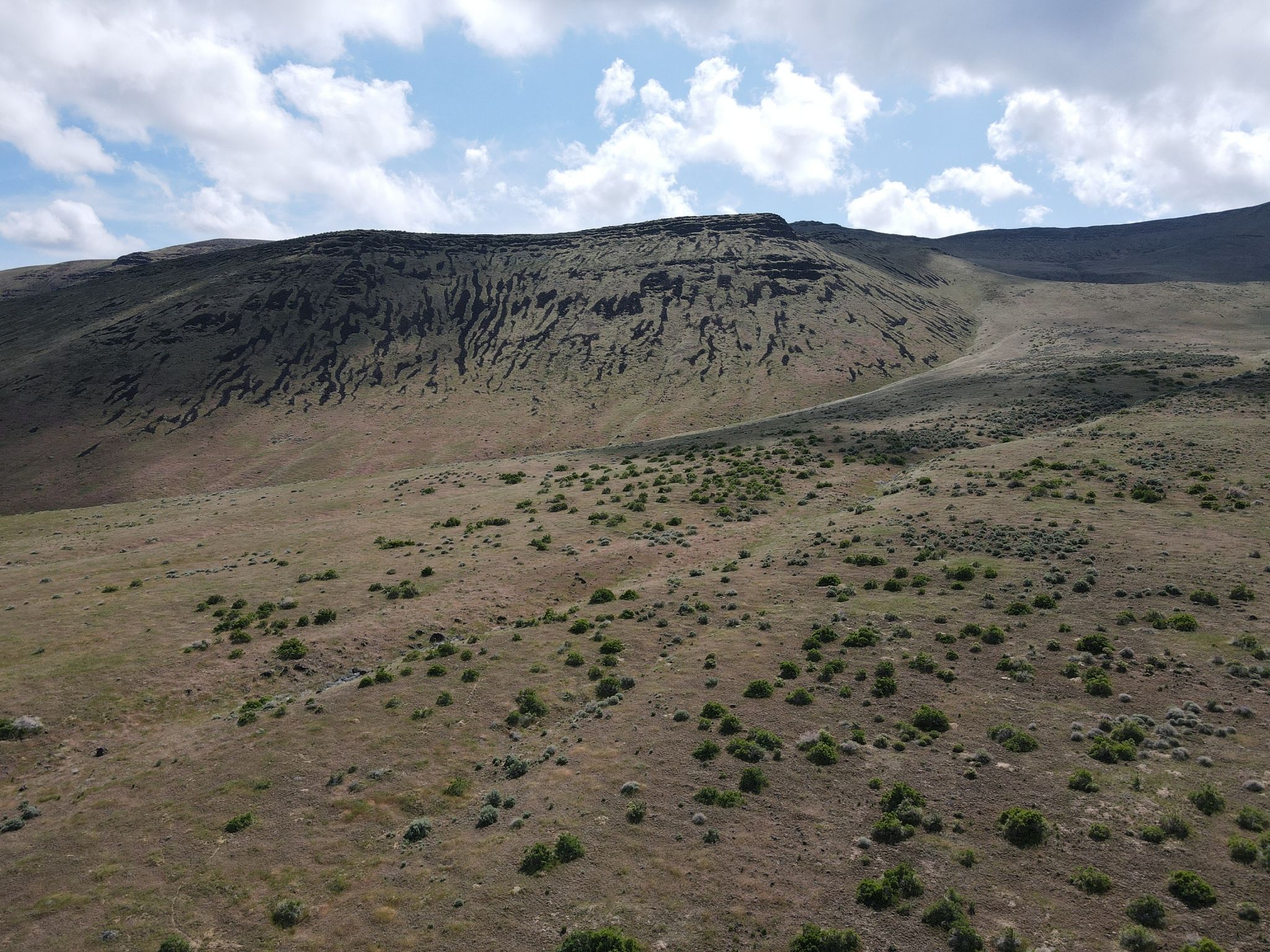
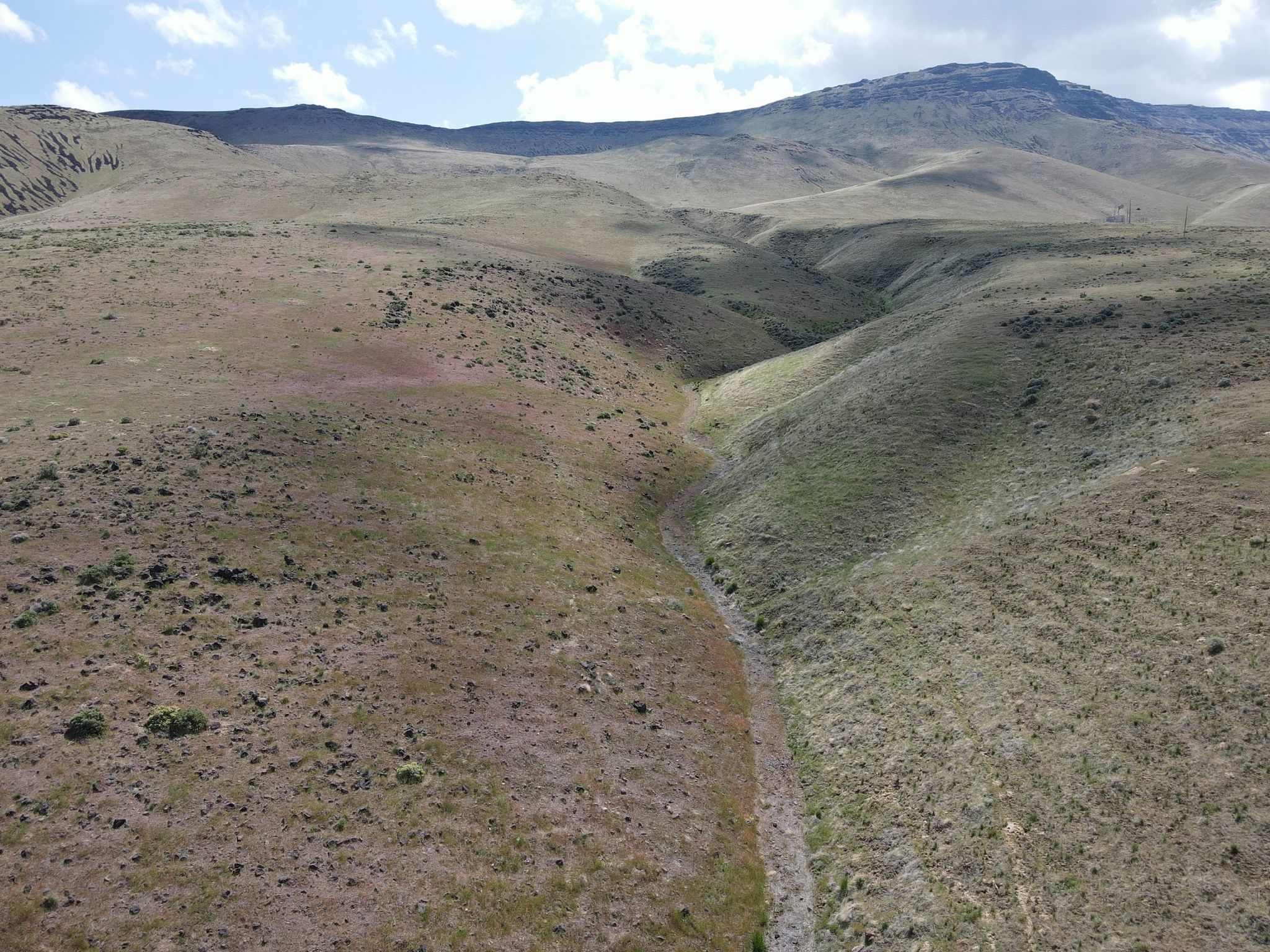
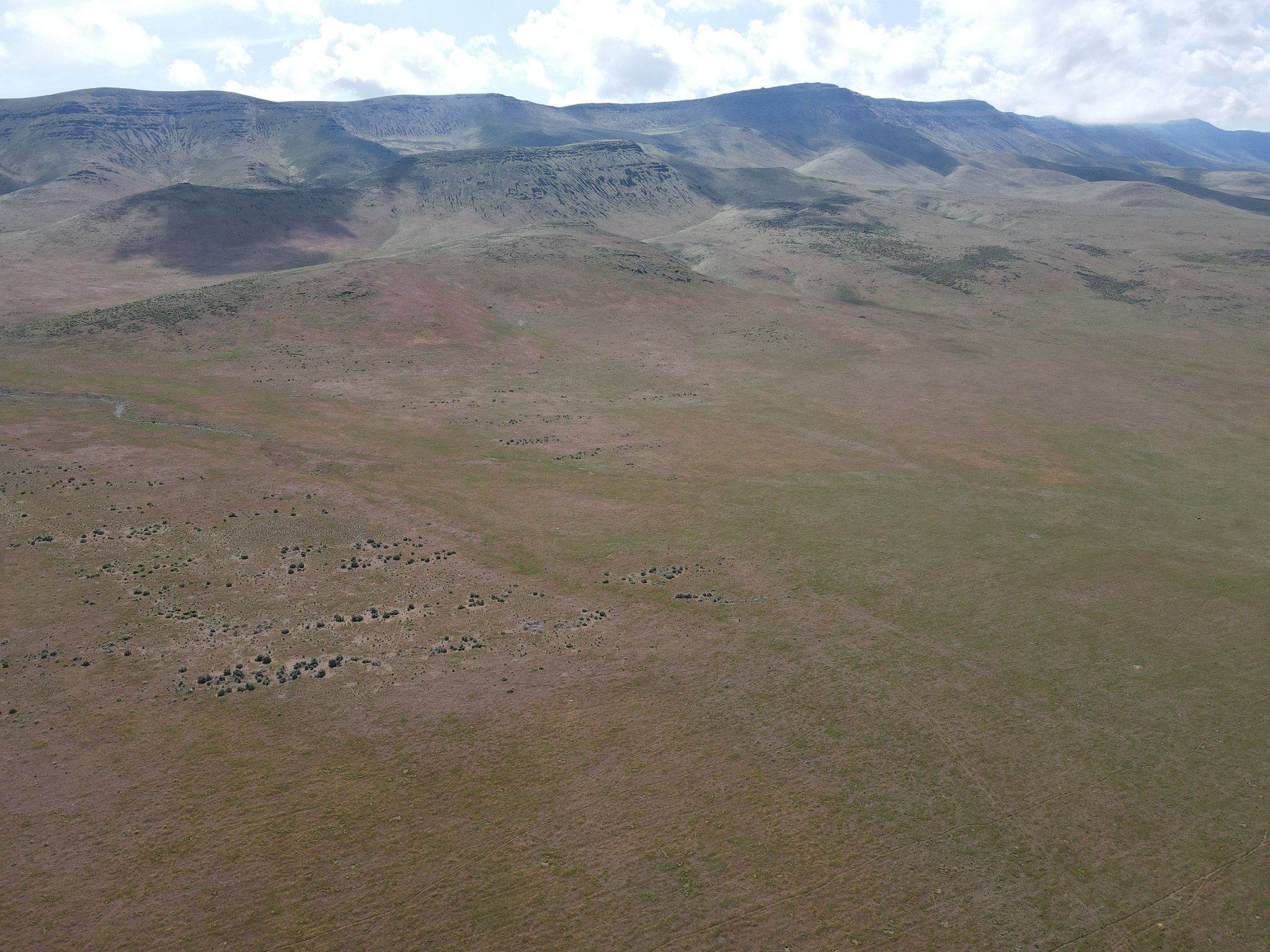
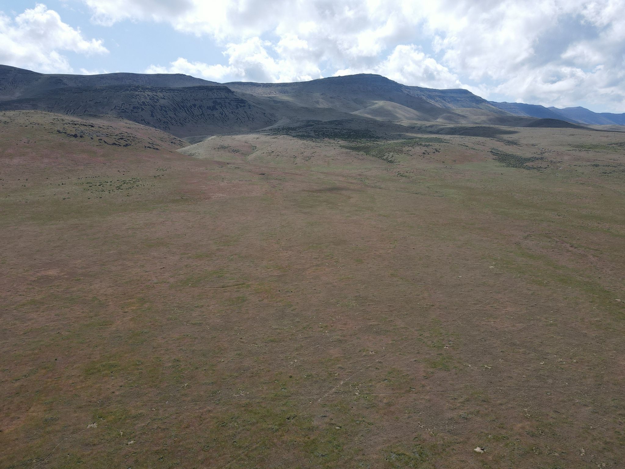
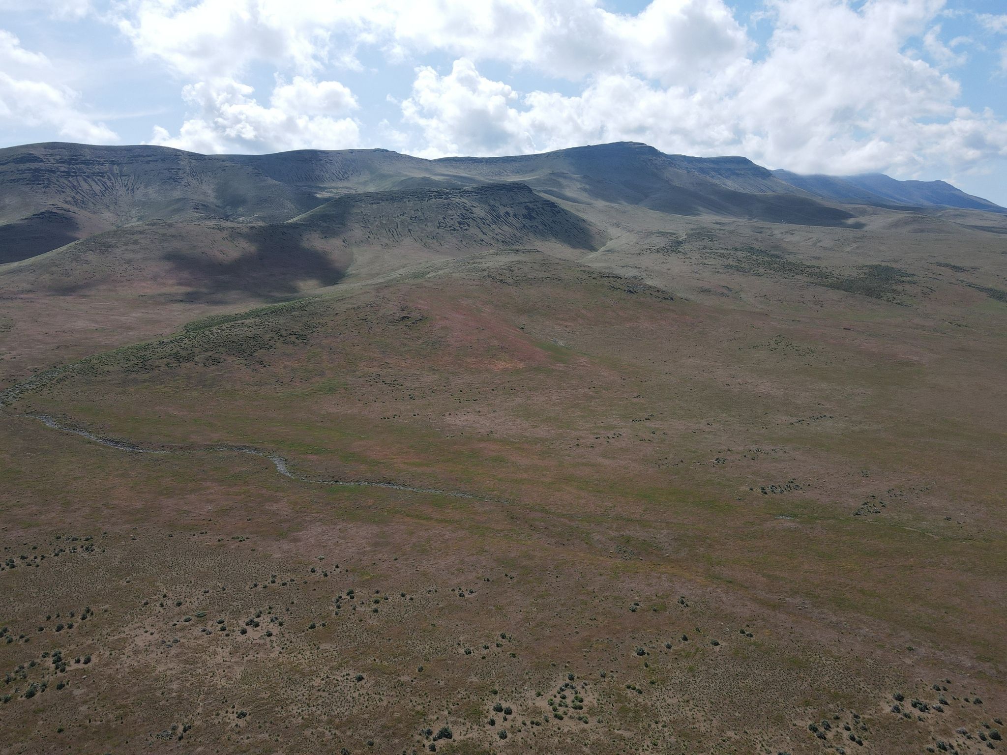
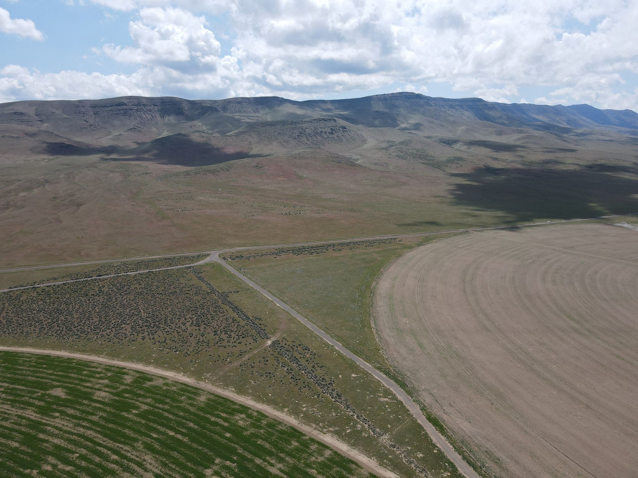
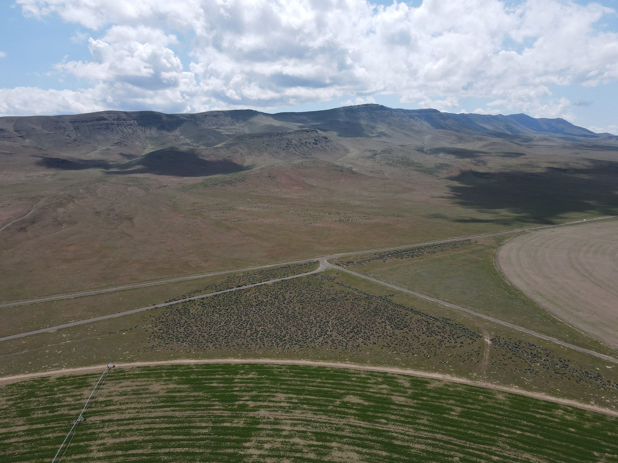
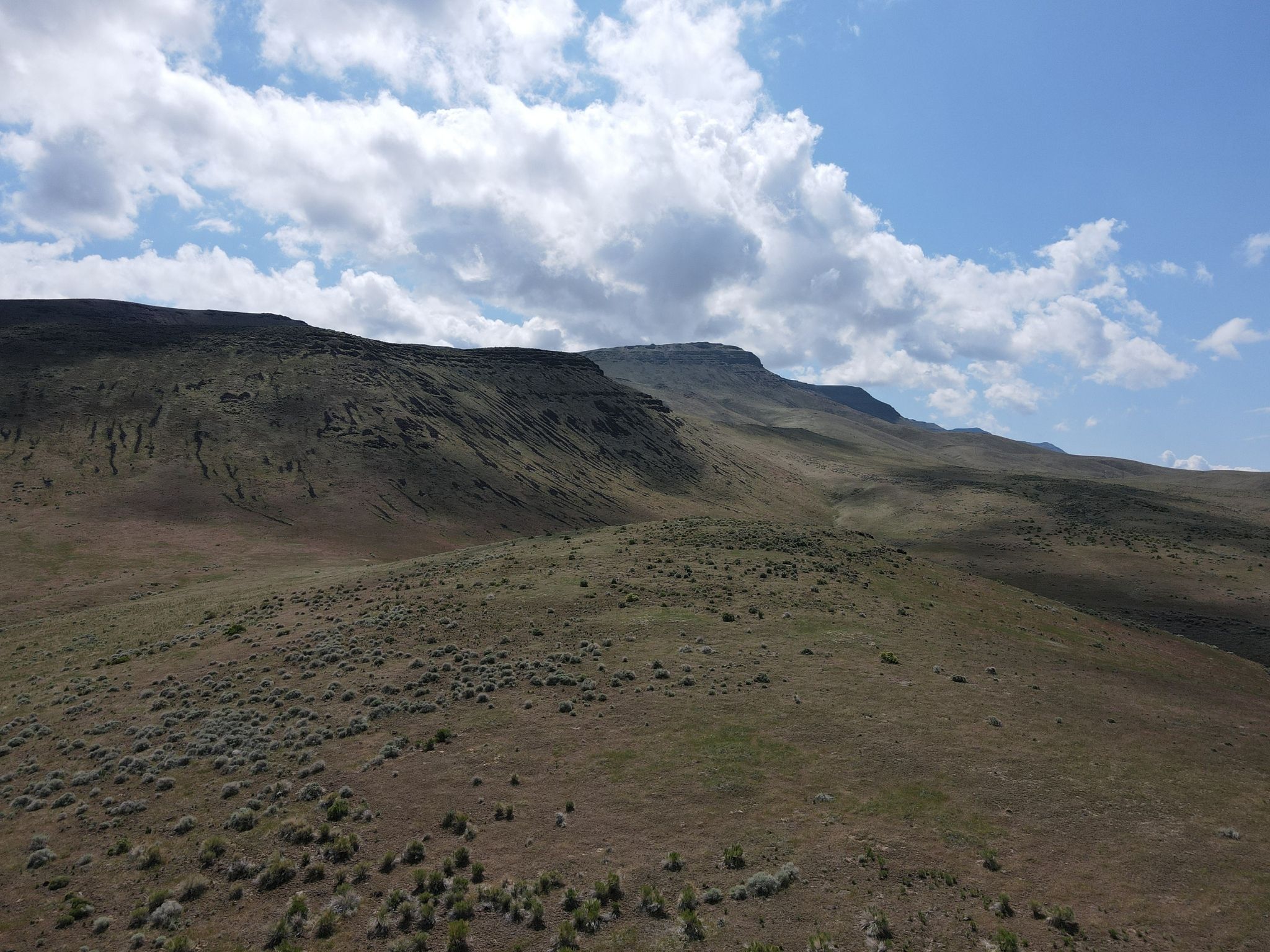
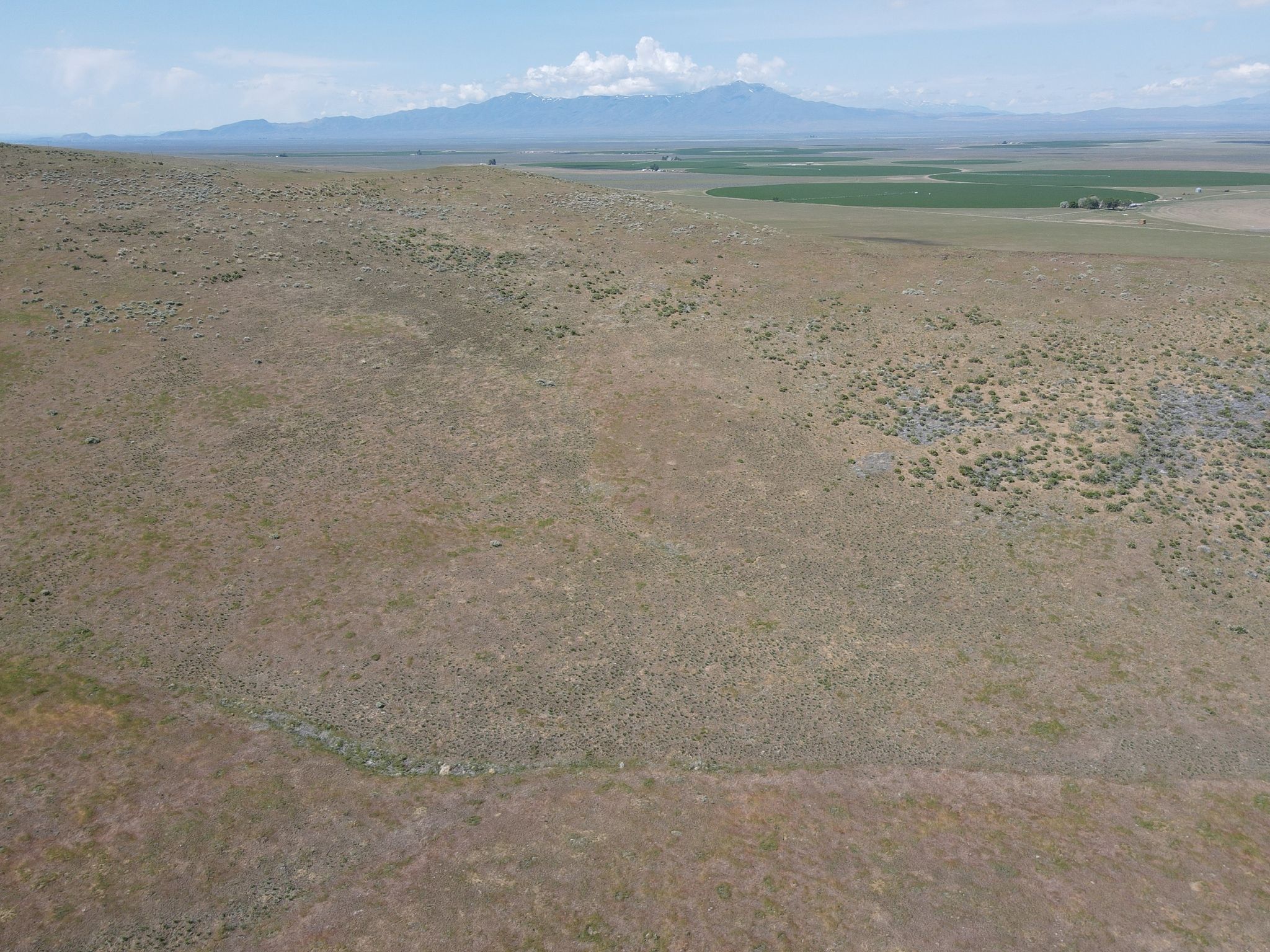
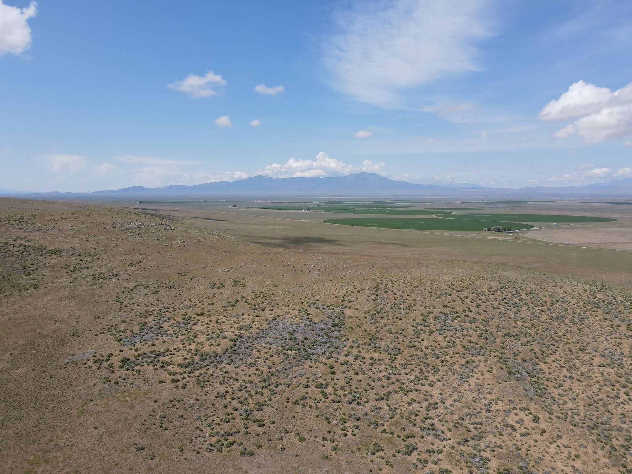
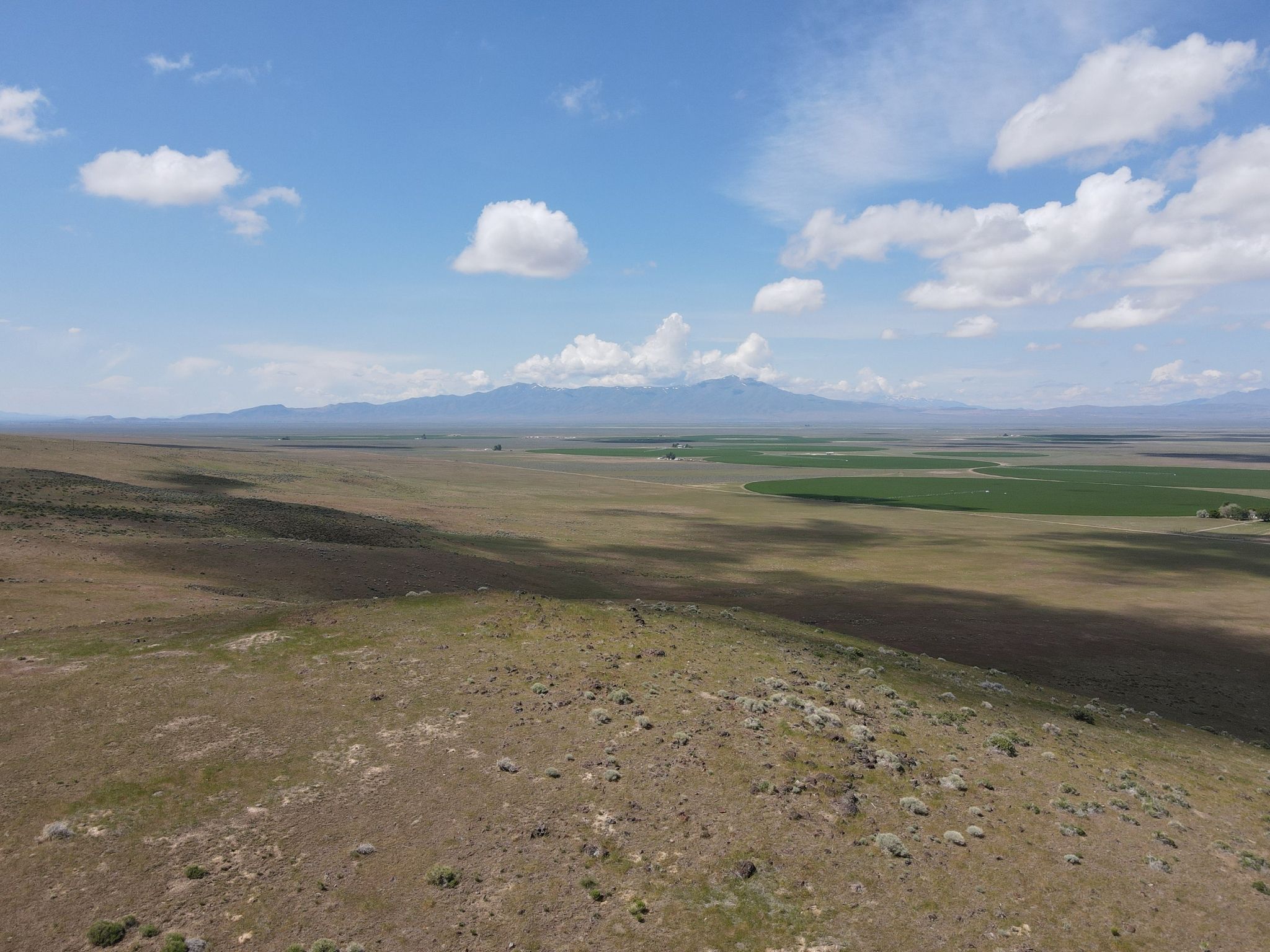
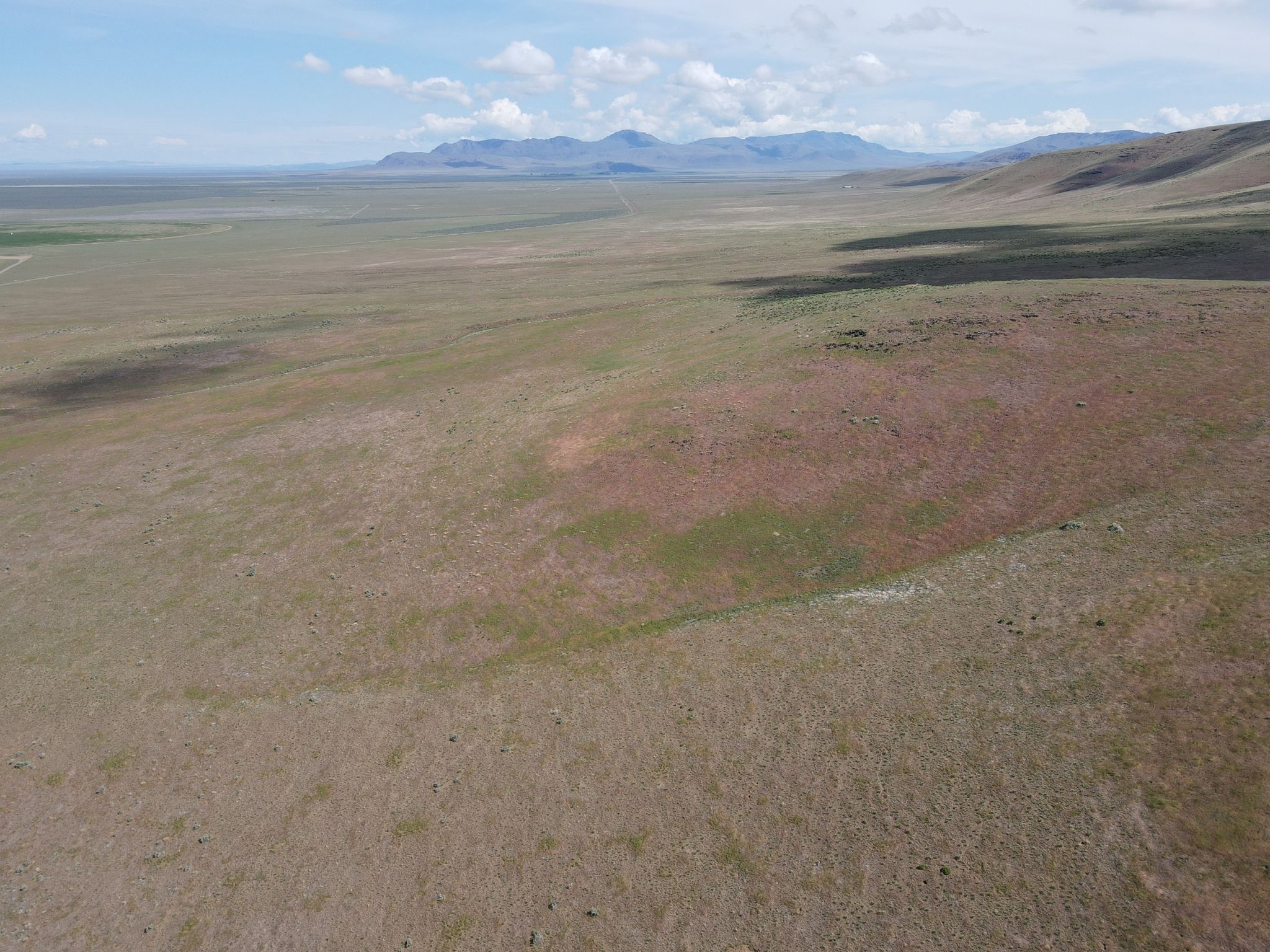
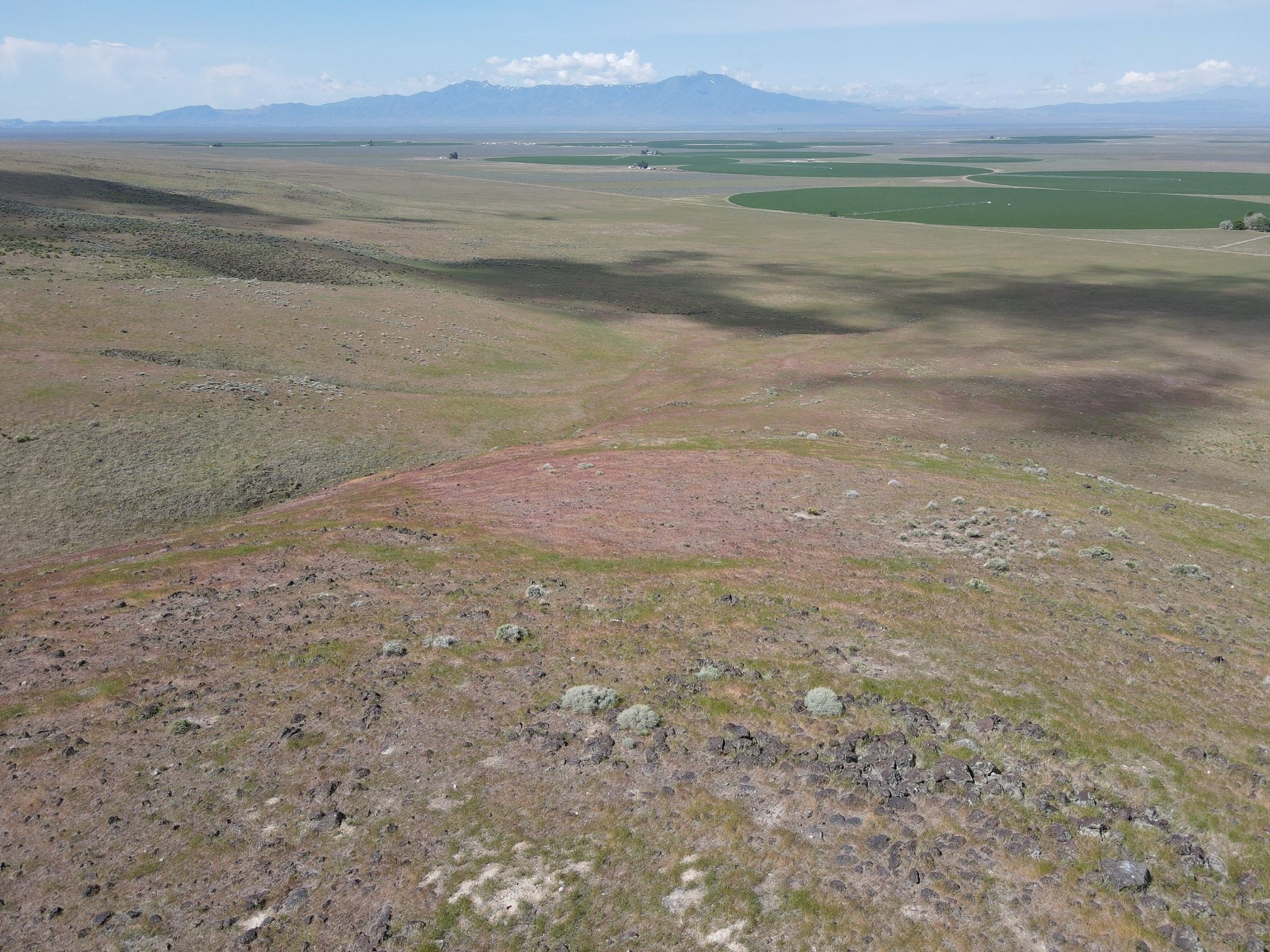
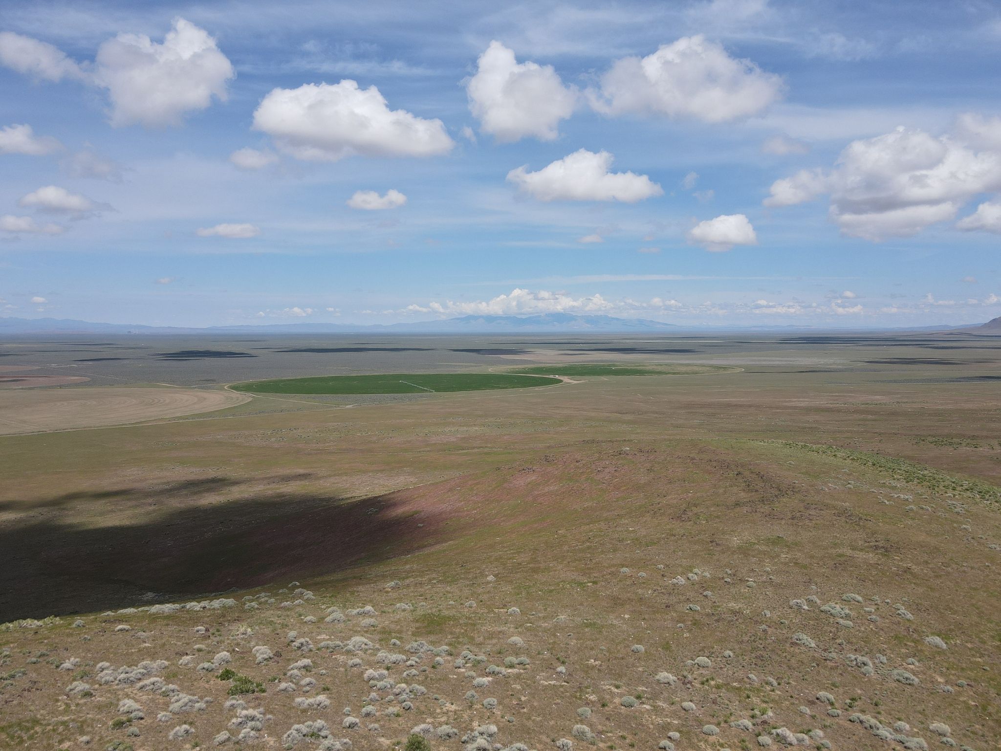
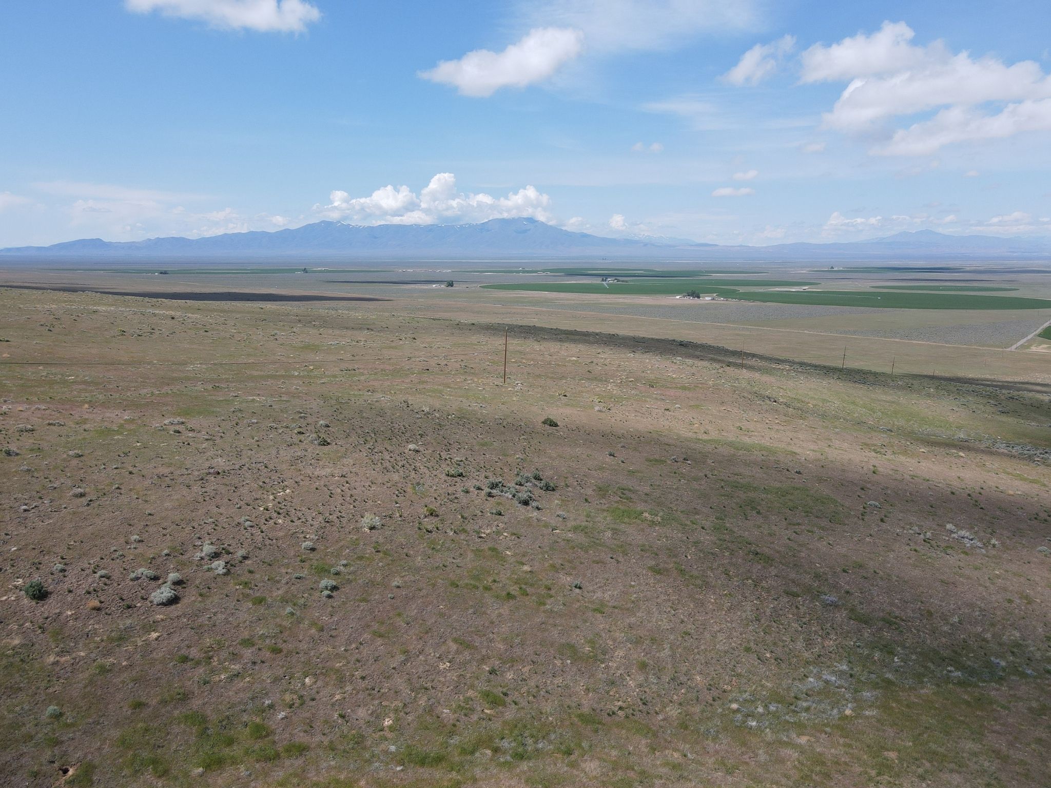
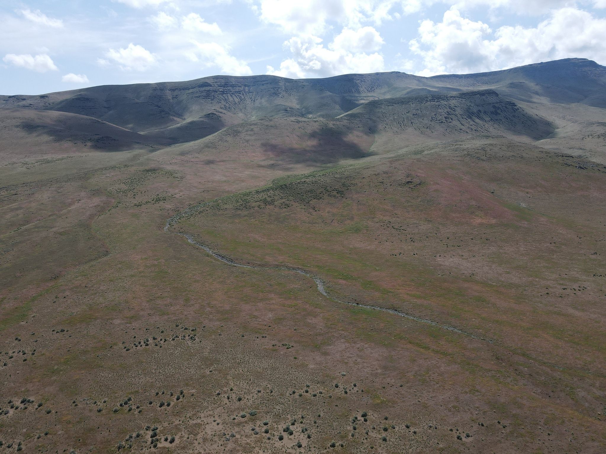
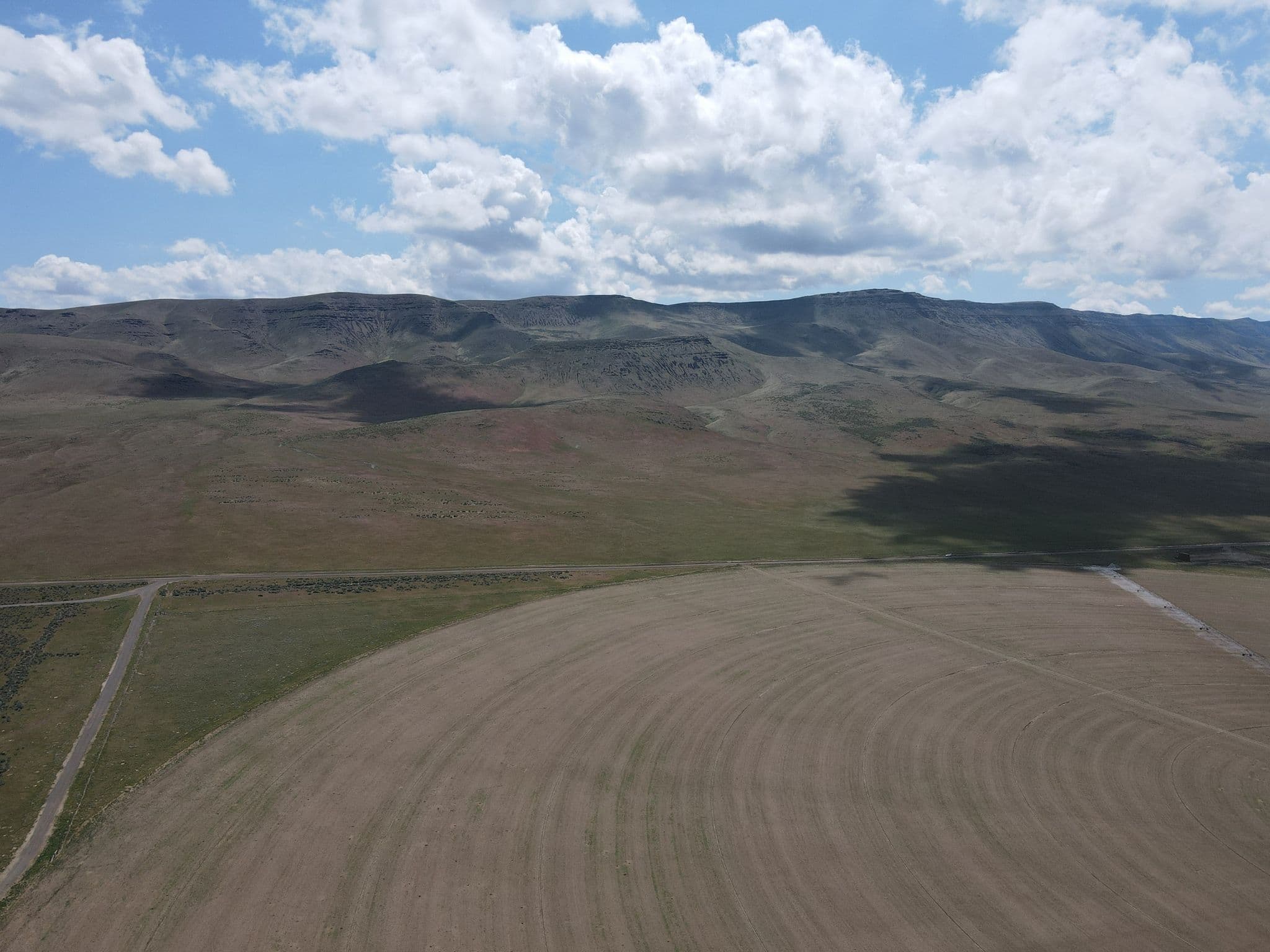
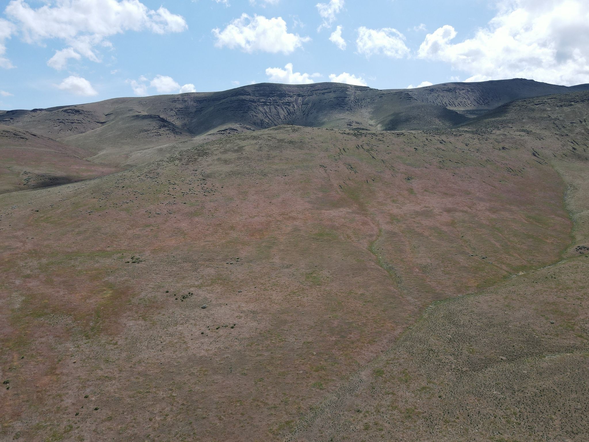
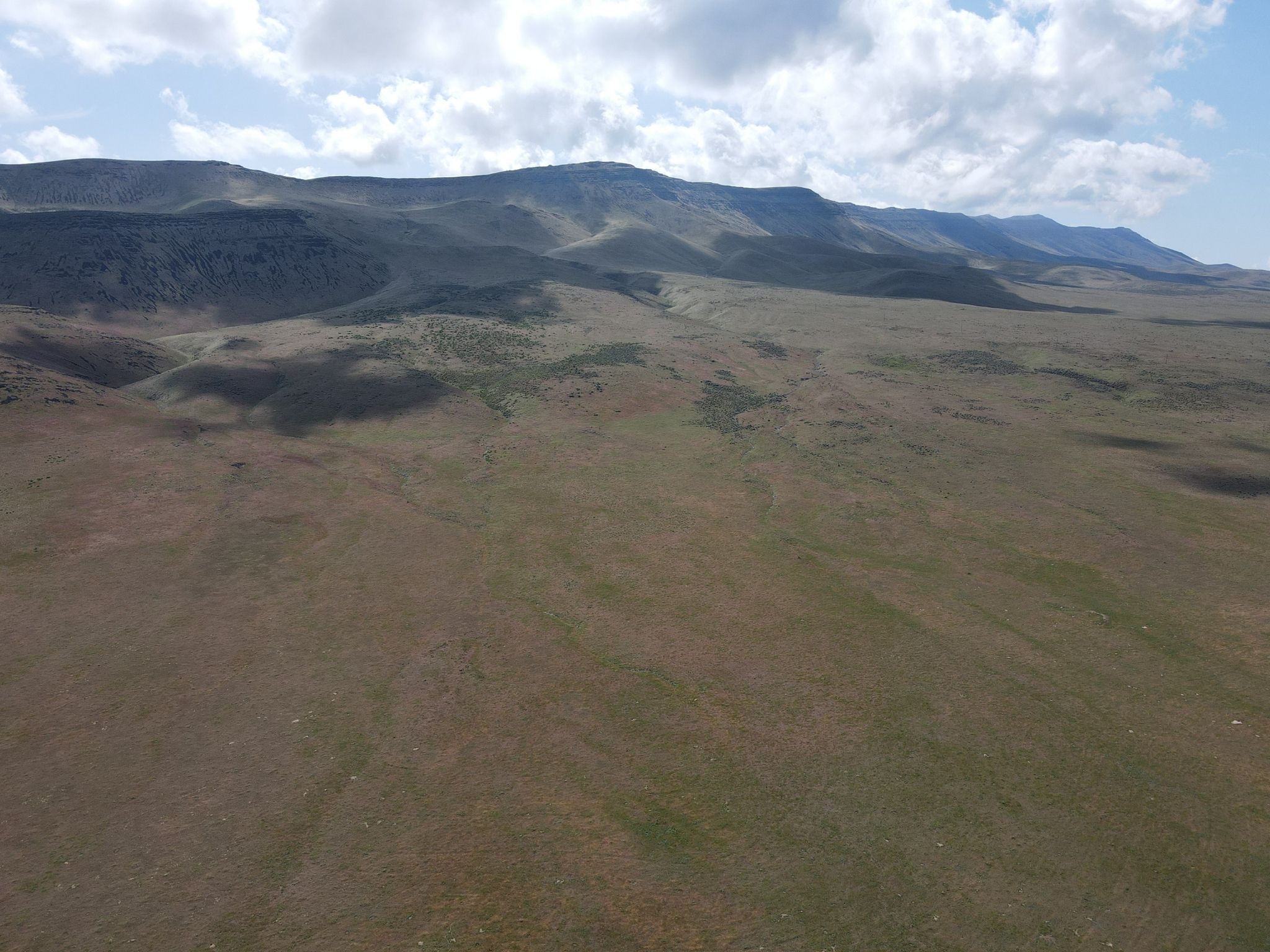
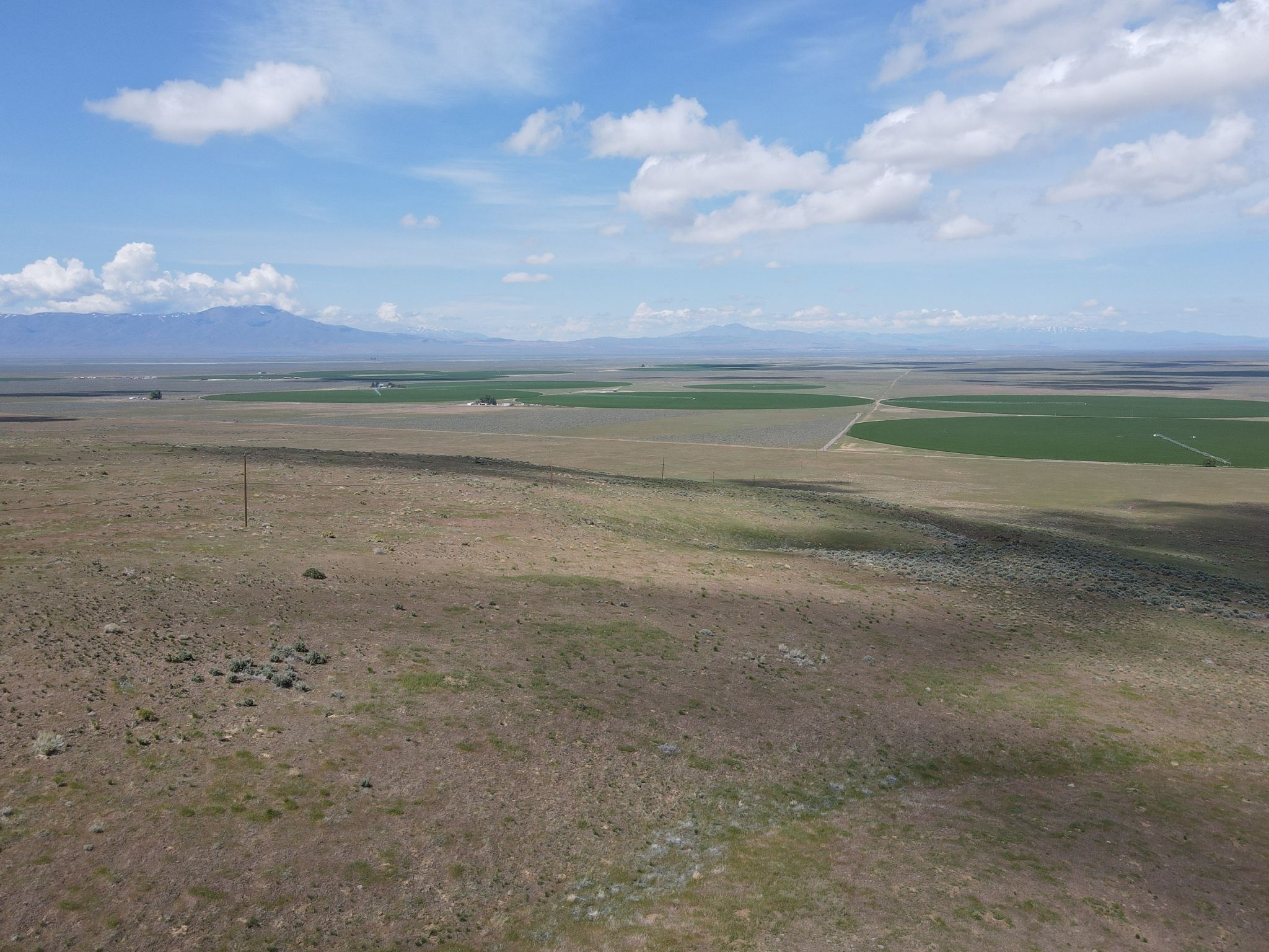
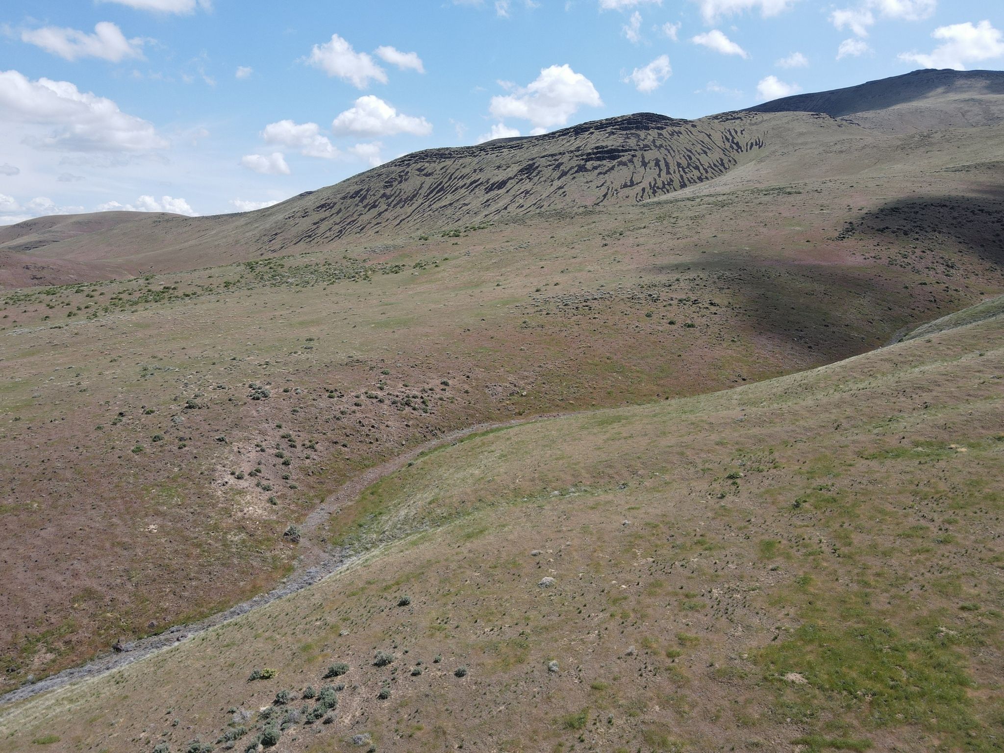
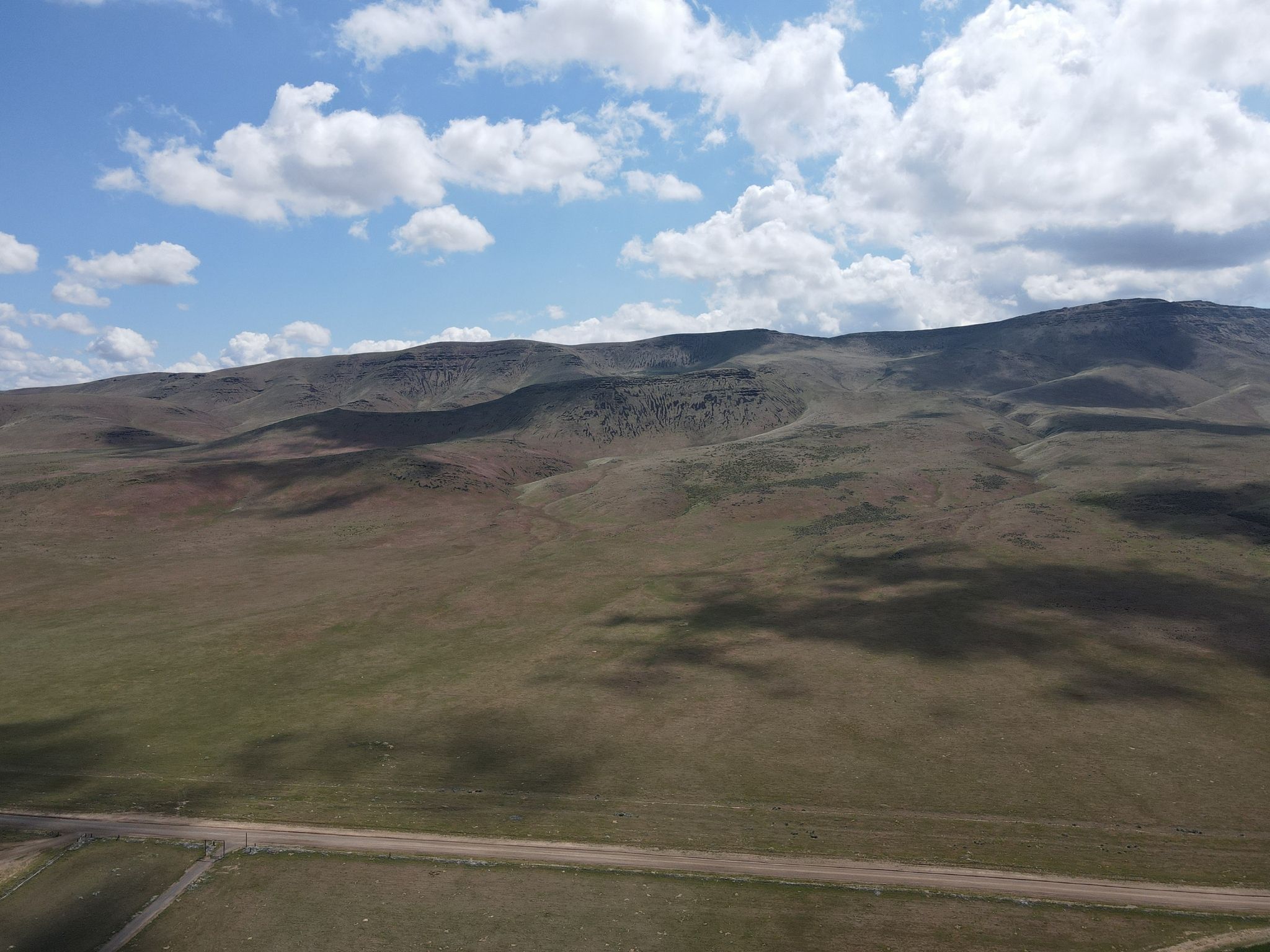
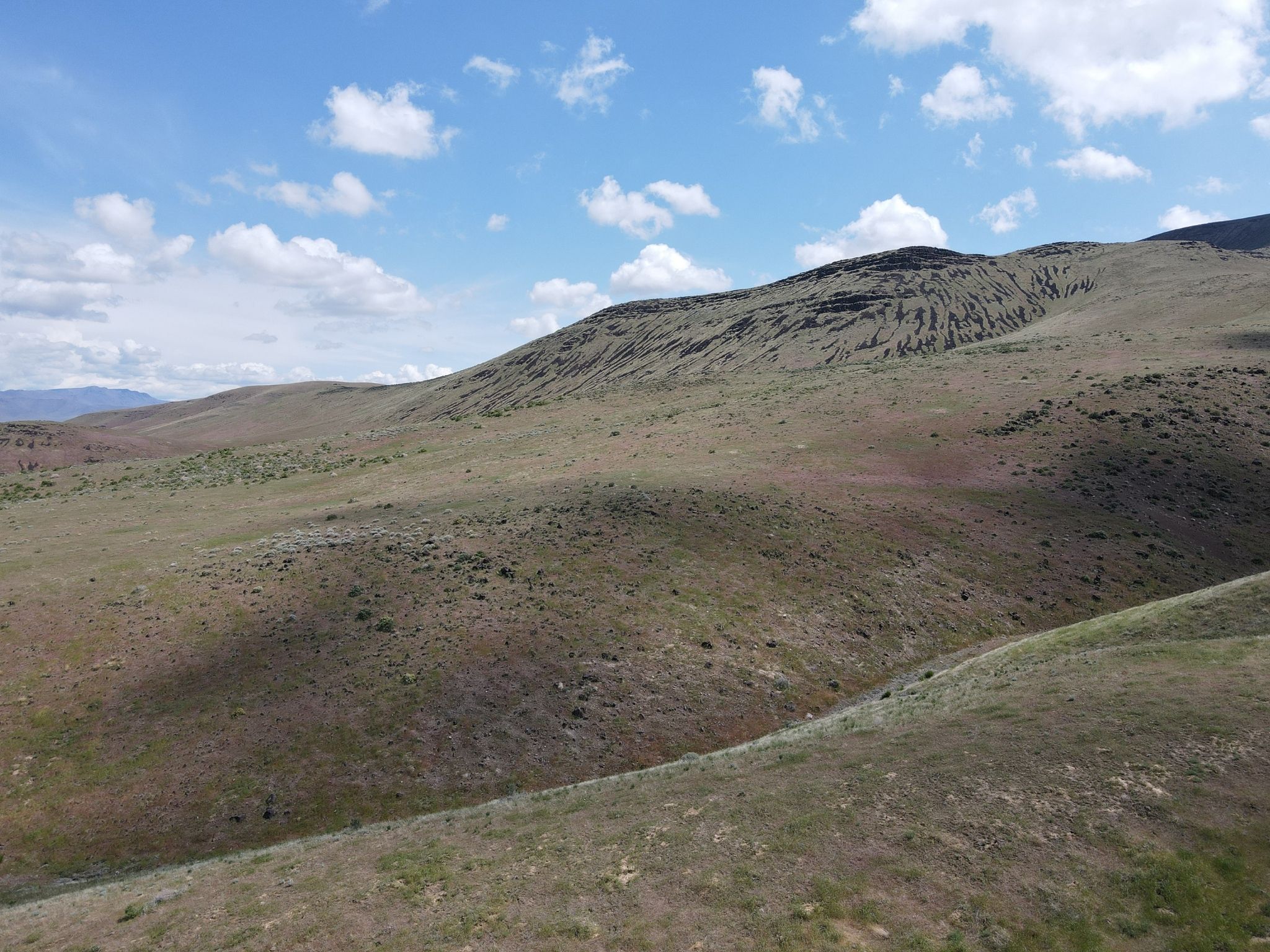
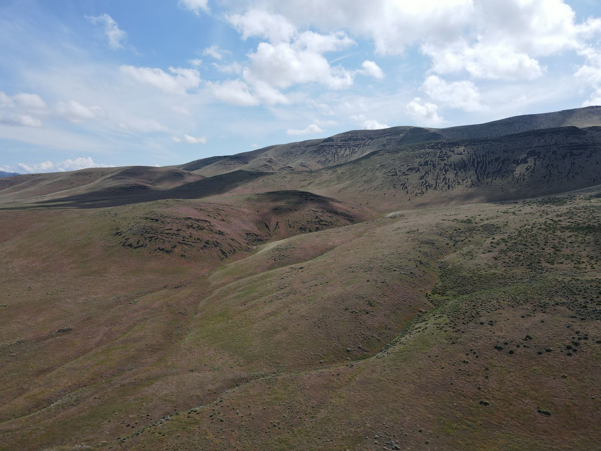
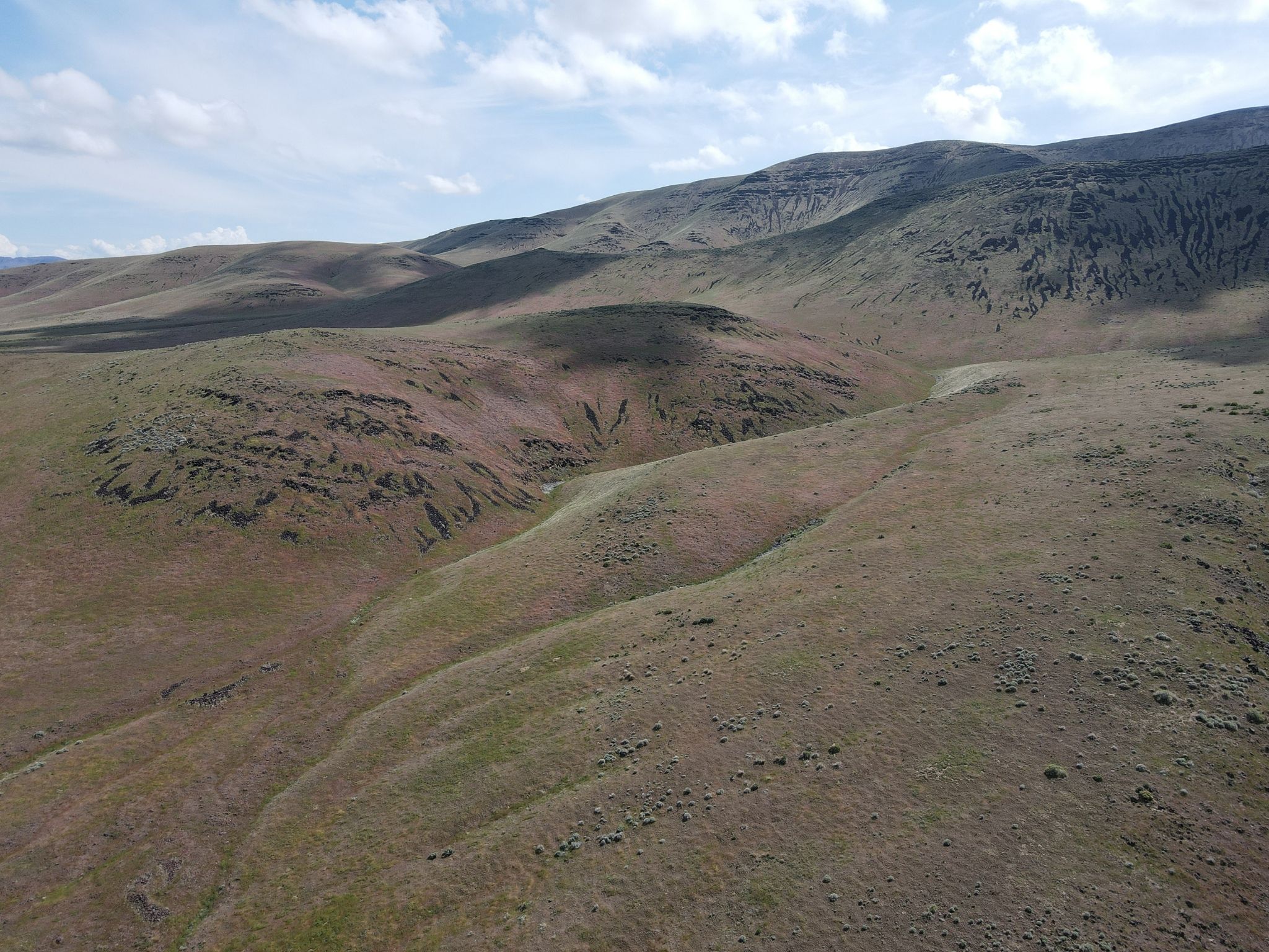
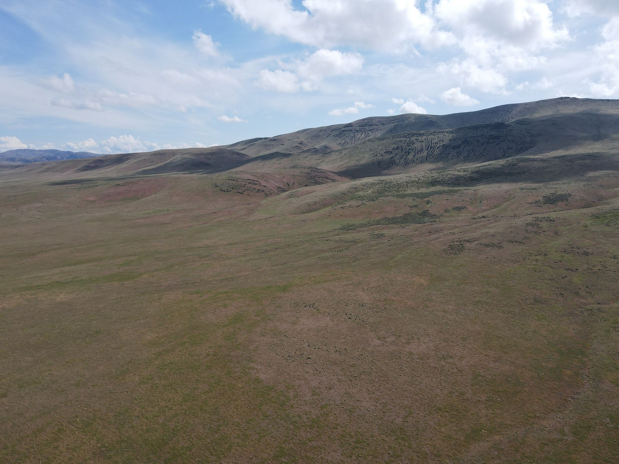
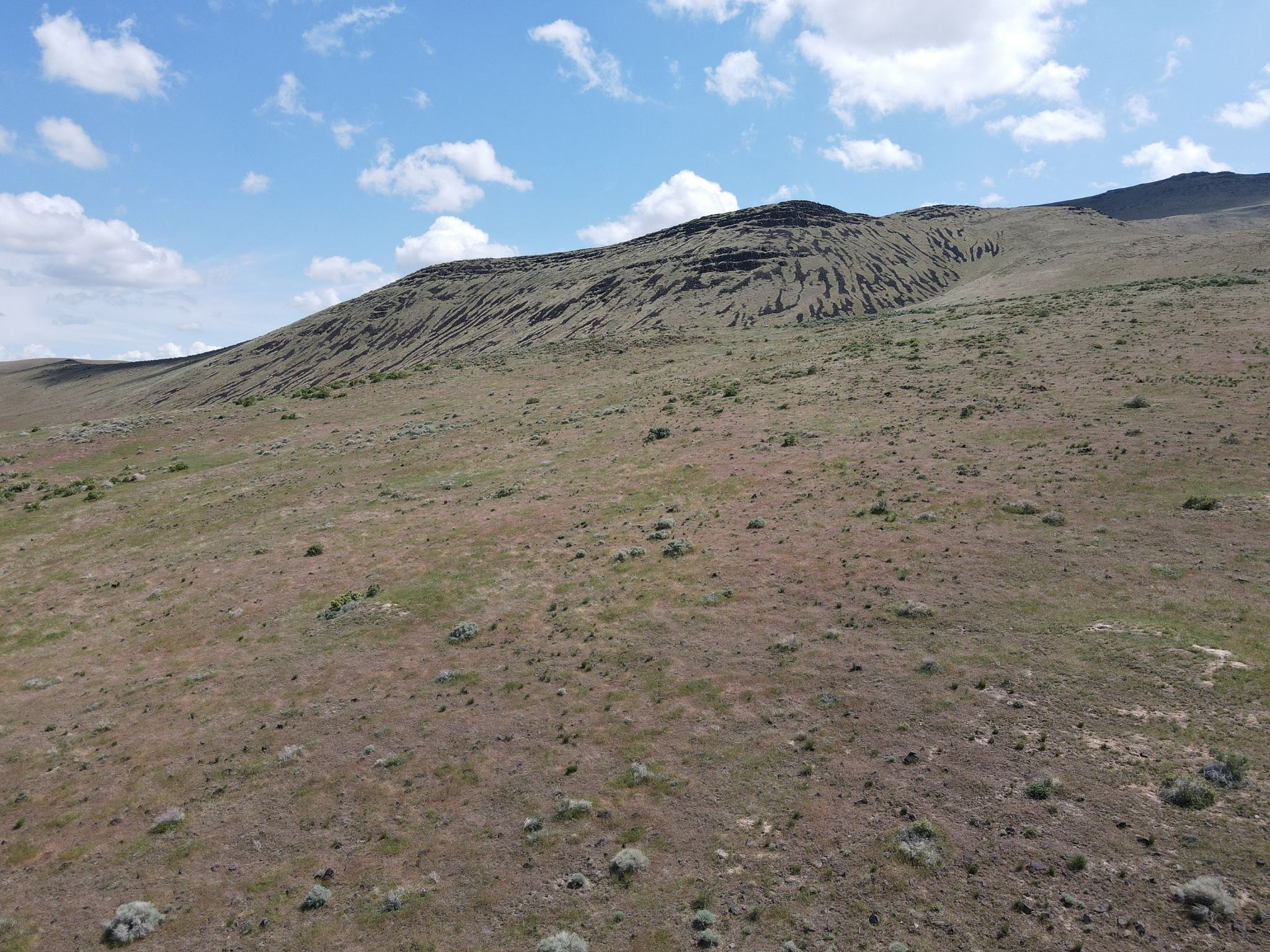
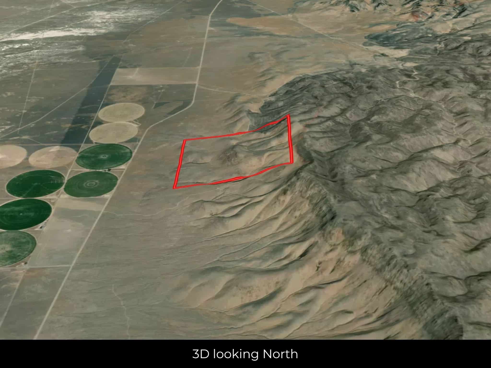
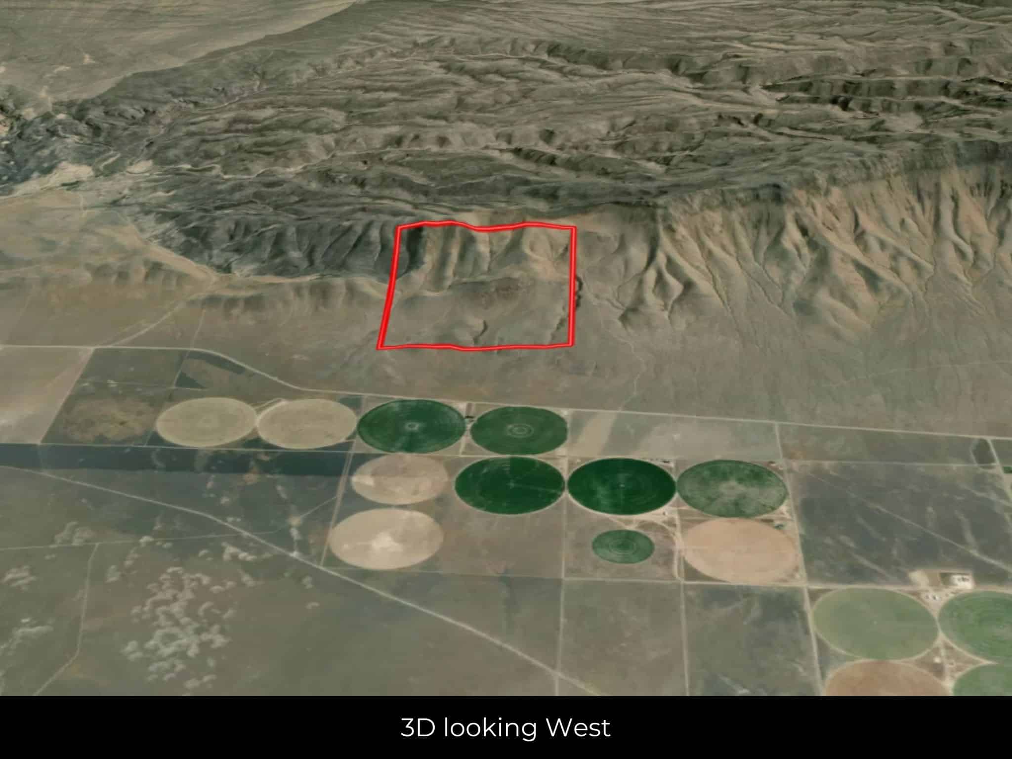
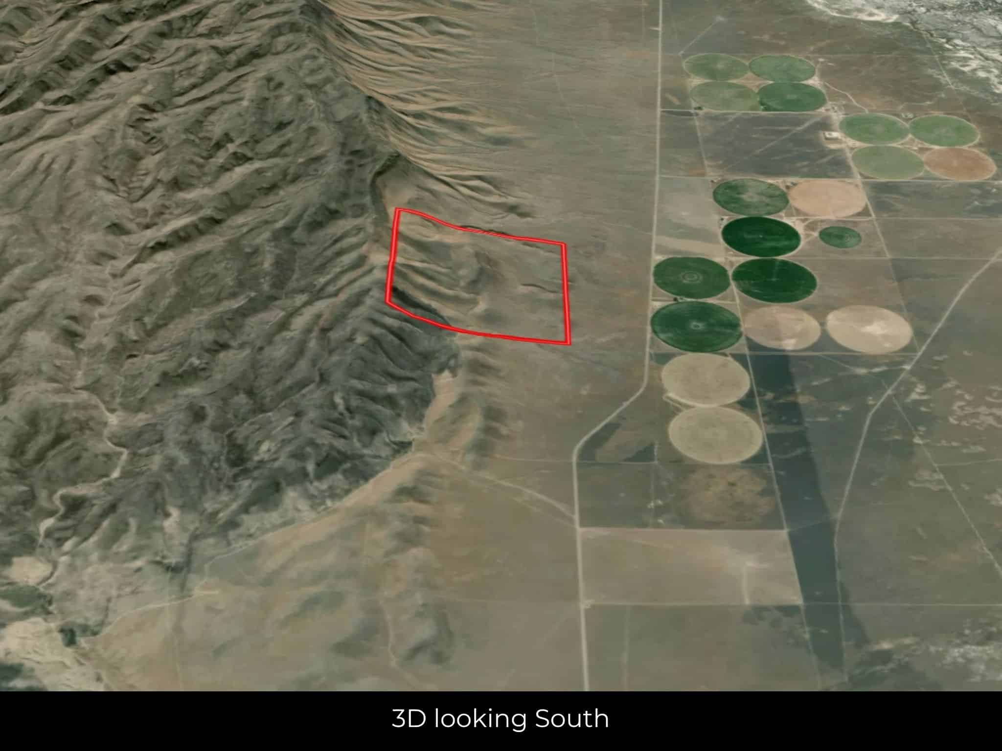
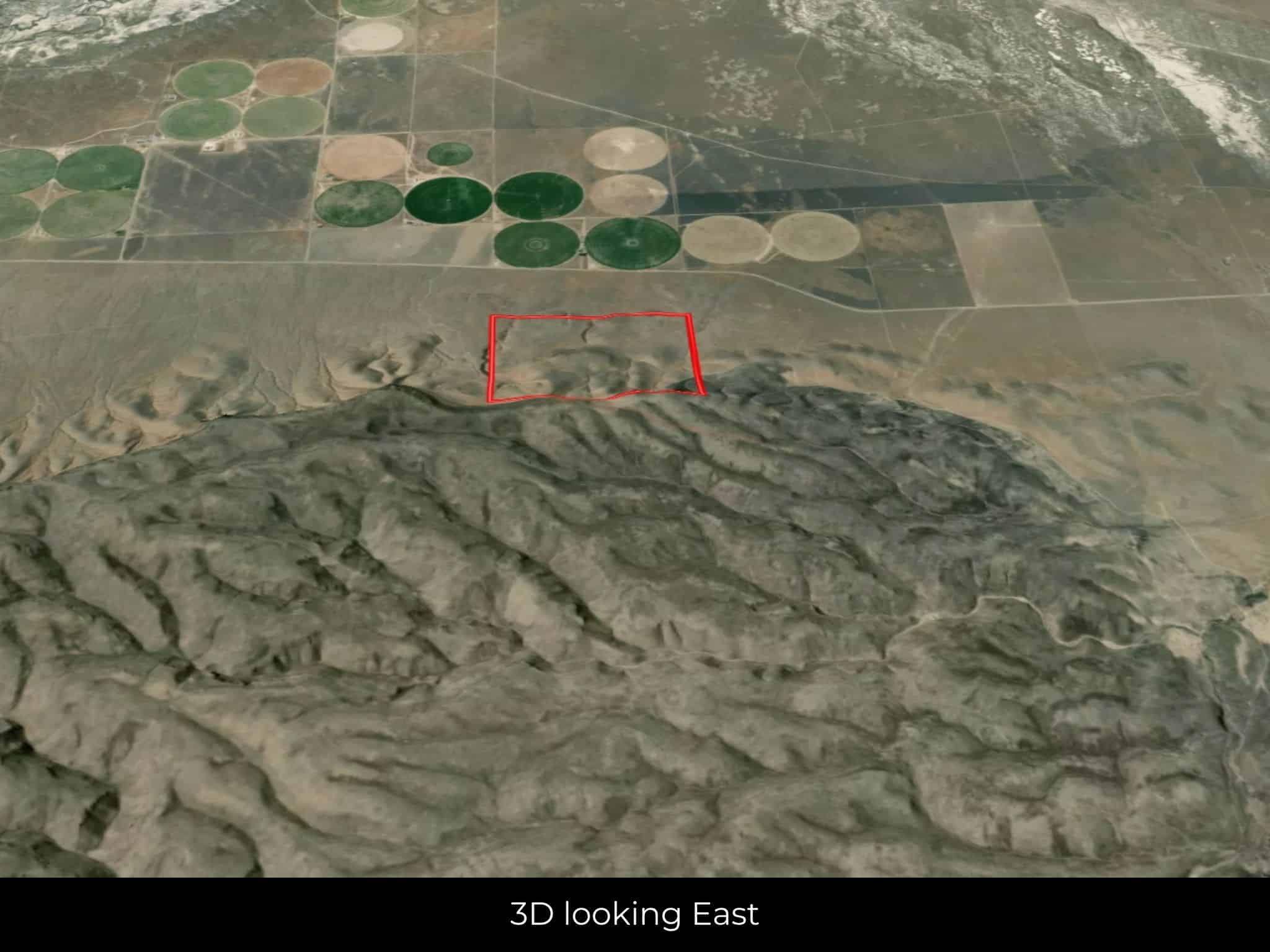
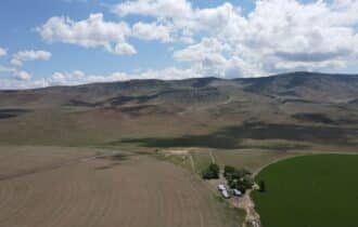
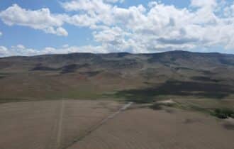
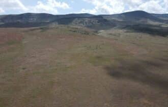
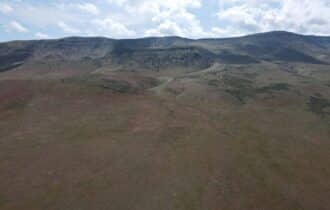
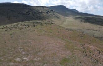
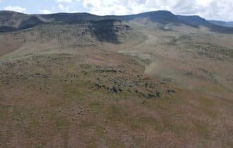
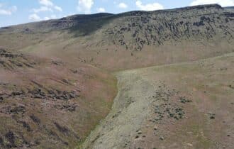
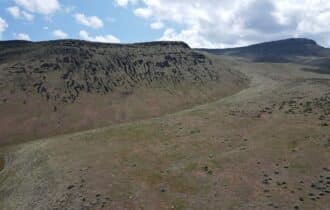
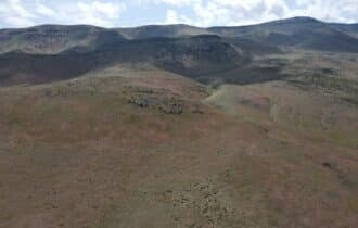
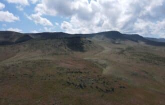
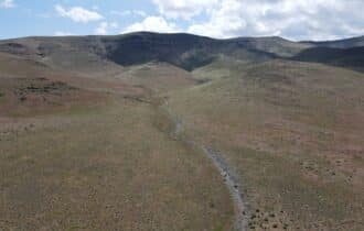
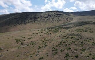
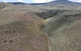
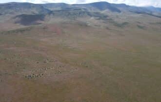
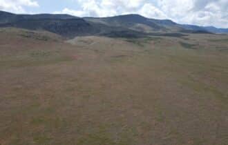
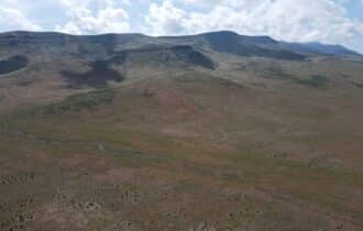
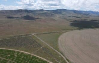
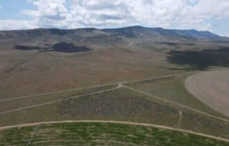
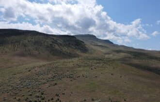
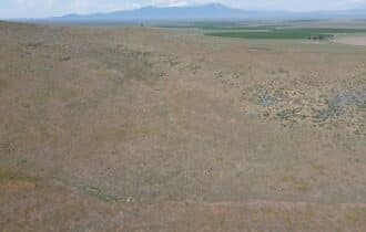
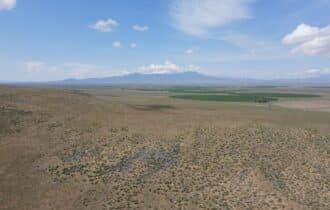
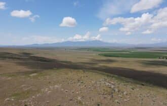
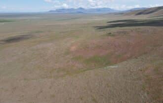
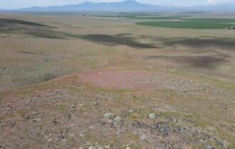
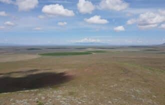
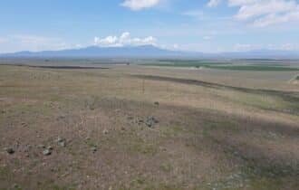
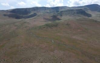
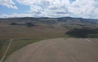
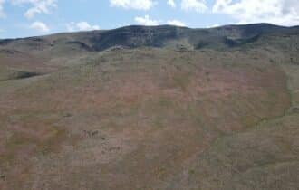
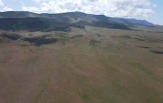
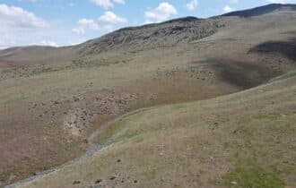
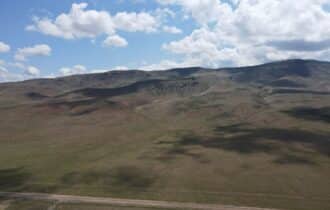
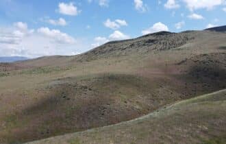
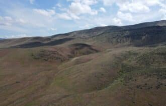
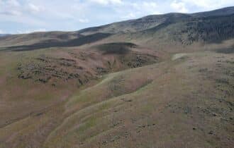
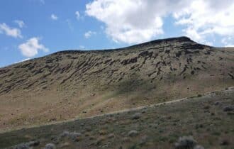
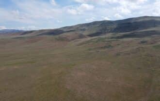
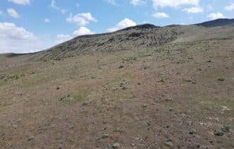
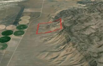
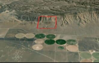
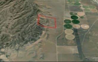
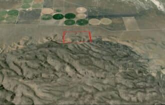
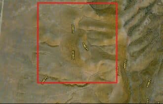
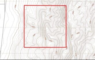
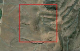
Looking to get off-grid or own the perfect bugout location? Check out this 640-acre property
between Winnemucca (55 miles) and Elko (85 miles)! This section of land sits in the foothills of
the Sheep Creek Range in an area of large ranches and irrigated farms. It has an unmaintained
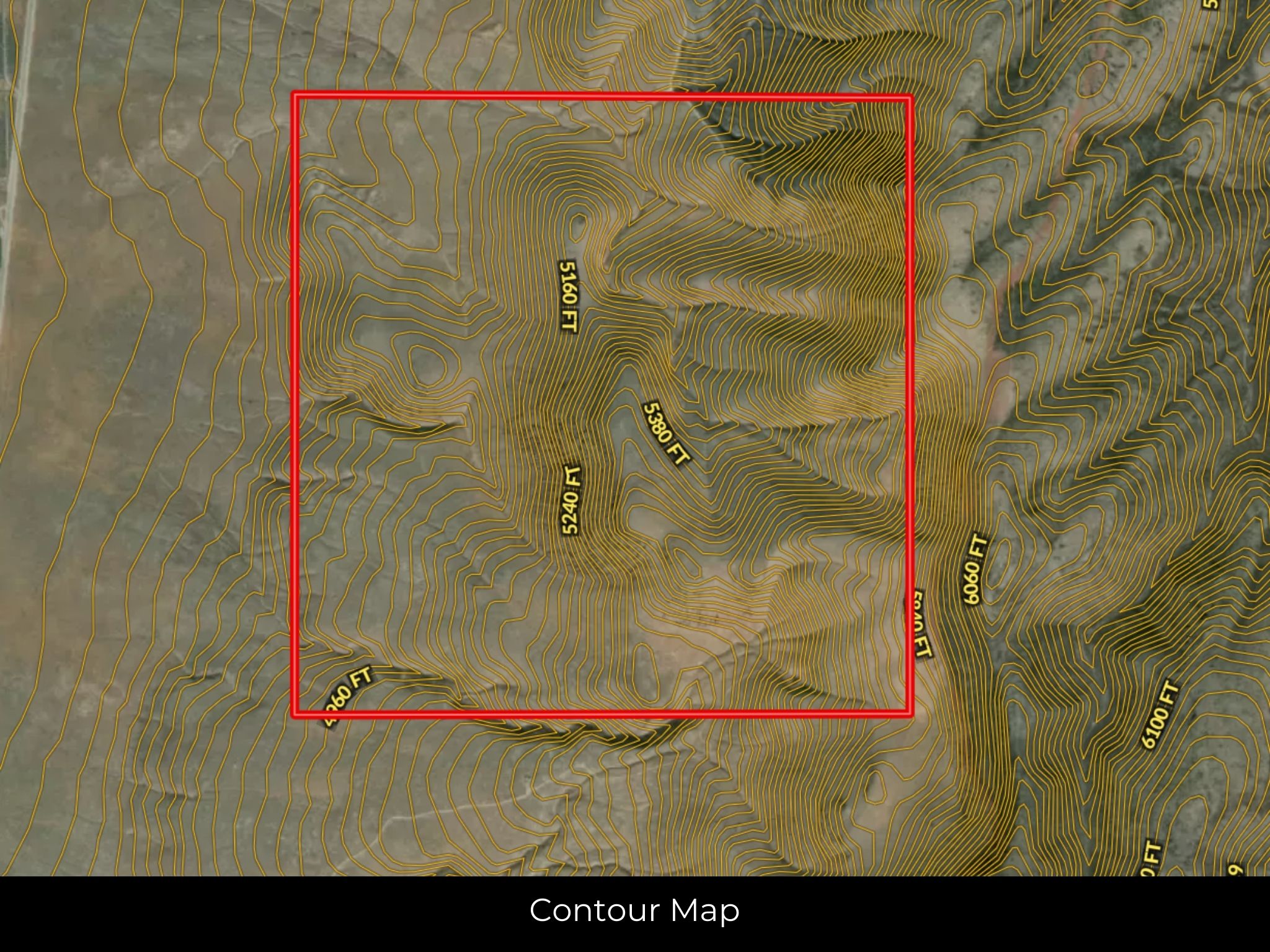
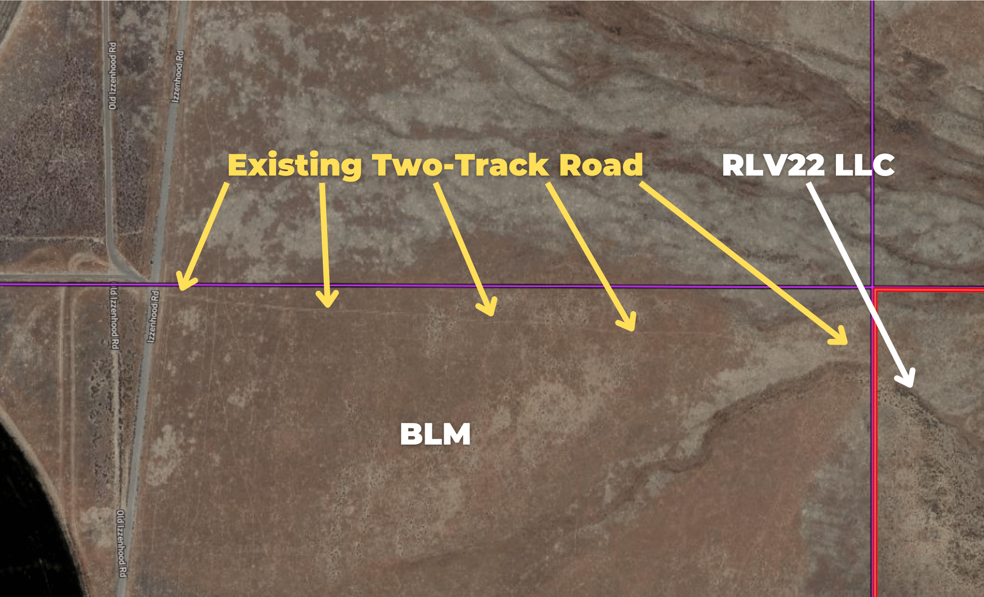
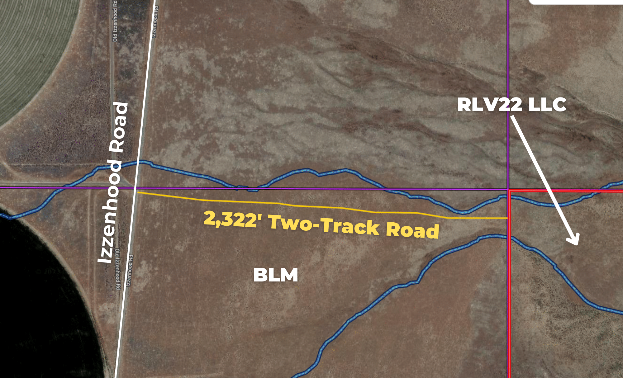
dirt road for access, so bring your sense of adventure and four-wheel drive. Some of the terrain is
steeply sloped while other areas are flat and could be excellent building sites. No power is
nearby, so install solar panels on your new home and never pay an electric bill again. Good wells
in the area are around 400 feet deep on average.
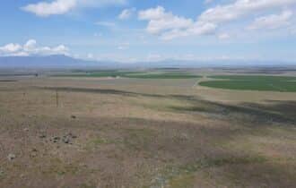
Winnemucca is the closest city for supplies and entertainment. With 8,600 residents, it is big
enough to have everything you need while retaining a small-town feeling. The semi-arid climate
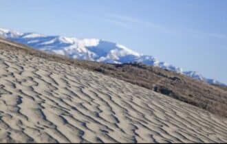
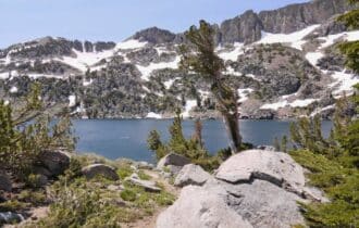
here is perfect for outdoor exploration. Water Canyon, Winnemucca Sand Dunes, and
Winnemucca Mountain Trail are all nearby and you will never run out of new trails to explore. In
town, Veteran’s Memorial Park has real airplanes and tanks from the Vietnam War, as well as
other memorabilia. Take the short drive to the Royal Peacock Black Fire Opal Mine where you
can dig for opals and keep everything you find.
This 640-acre property is waiting to be your off-grid home or bugout location, and you will not
find another property of this size at this competitive price. It will not last long, so contact me
today for more information.
Visiting the Property
You are welcome to visit the property at your convenience and anytime while it's still available. However, we HIGHLY recommend checking-in with us prior to visiting the property in case the property has gone under contract or already sold.
The interactive map above is generated with MapRight. MapRight has free apps for Apple IOS and Android that can be used to track your location and route throughout a property and provide driving directions.
MapRight for Apple –> Download App.
MapRight for Android –> Download App.
To launch the interactive map on your device, 1) install the free MapRight app using one of the two links above for Apple or Android, and 2) click the “View Full Screen” link (see above) in the embedded map on the property listing page.
Property Information
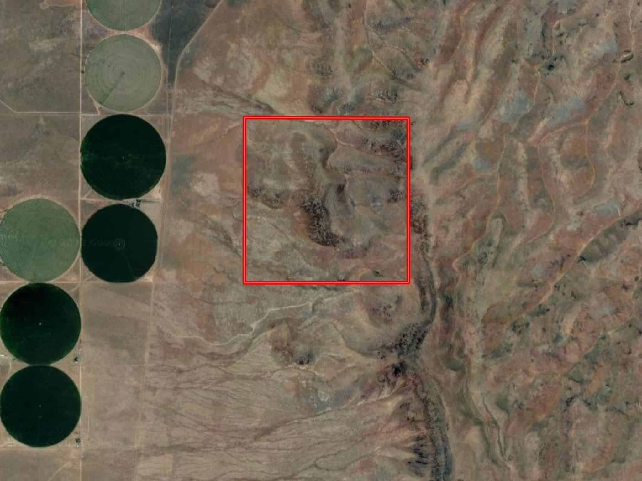
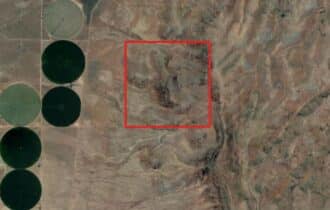
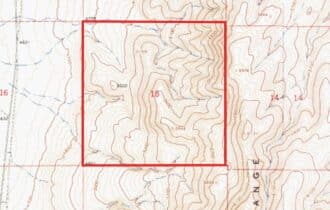
Parcel Size
640 Acre
State
Nevada
County
Lander
Nearest Cities
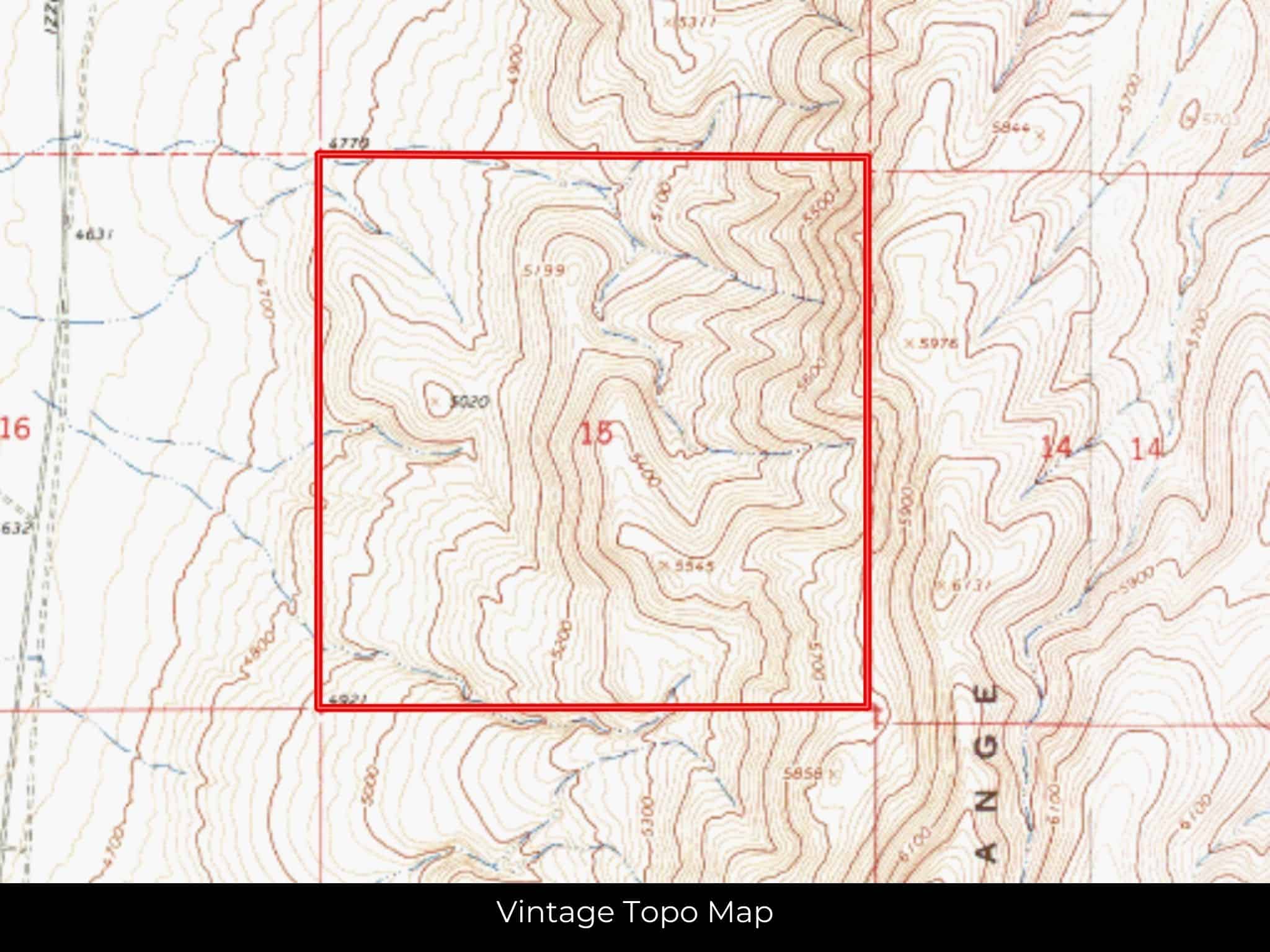
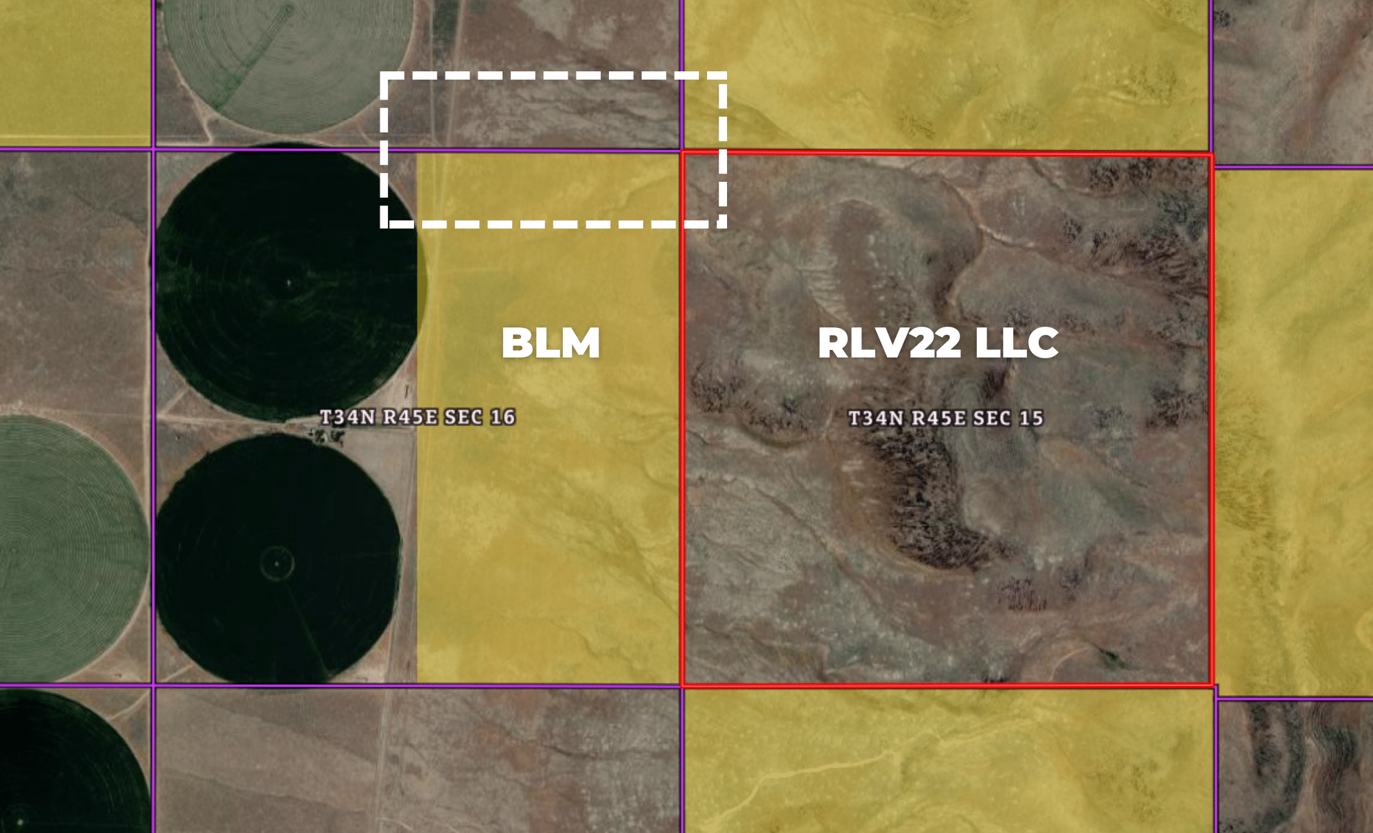
S 15 T 34N RANGE 45E, Battle Mountain, NV 89820
Parcel #
010-100-19
Address
BATTLE MOUNTAIN, NV, 89820
Legal Description
ALL 15/34/45
Zip Code
89820
Annual Property Taxes
$616.28
Ag Exemption
No
HOA
None
HOA per Year
N/A
Survey Available
No
School District
Lander County School District
Liens and Back Taxes
None!
Source Deed
Sent for Filing.
Title Status
Free & Clear!
Outgoing Conveyance
Warranty Deed
Property Features
Acres
640
Dimension
5244.31 feet X 5347.84 feet
County
Lander
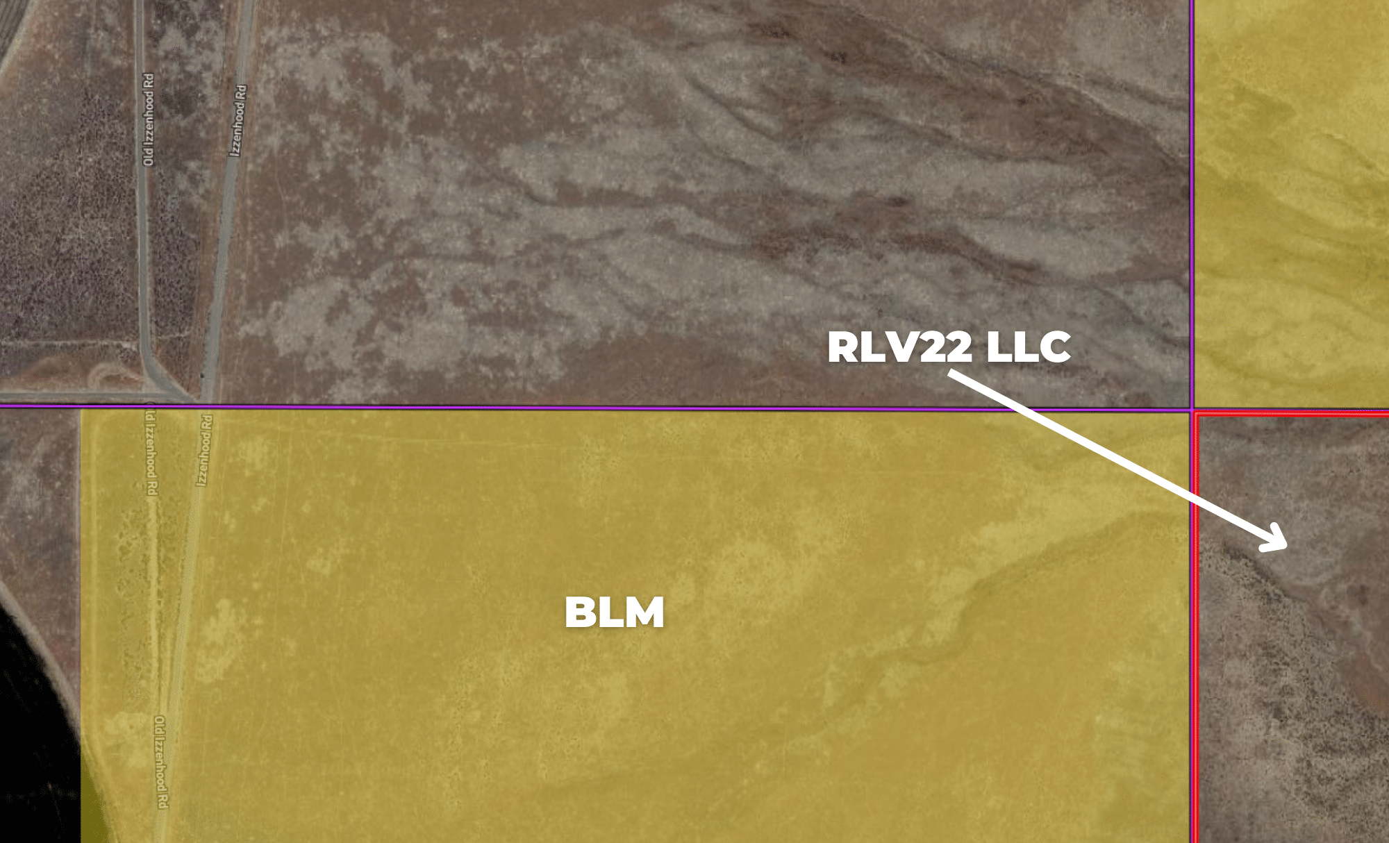
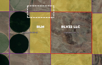
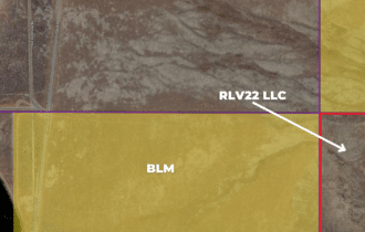
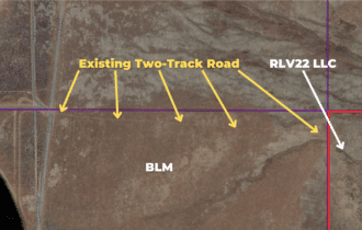
Access
BLM Road
Power
No
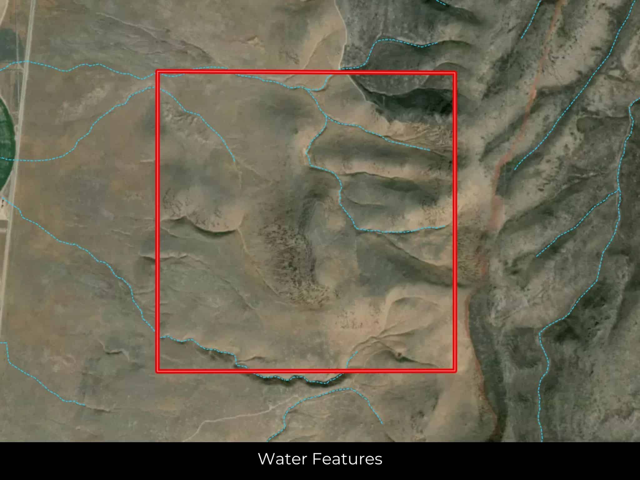
Water
No
Coordinates
40.8225, -116.8927
Zoning
Vacant lot (NEC)
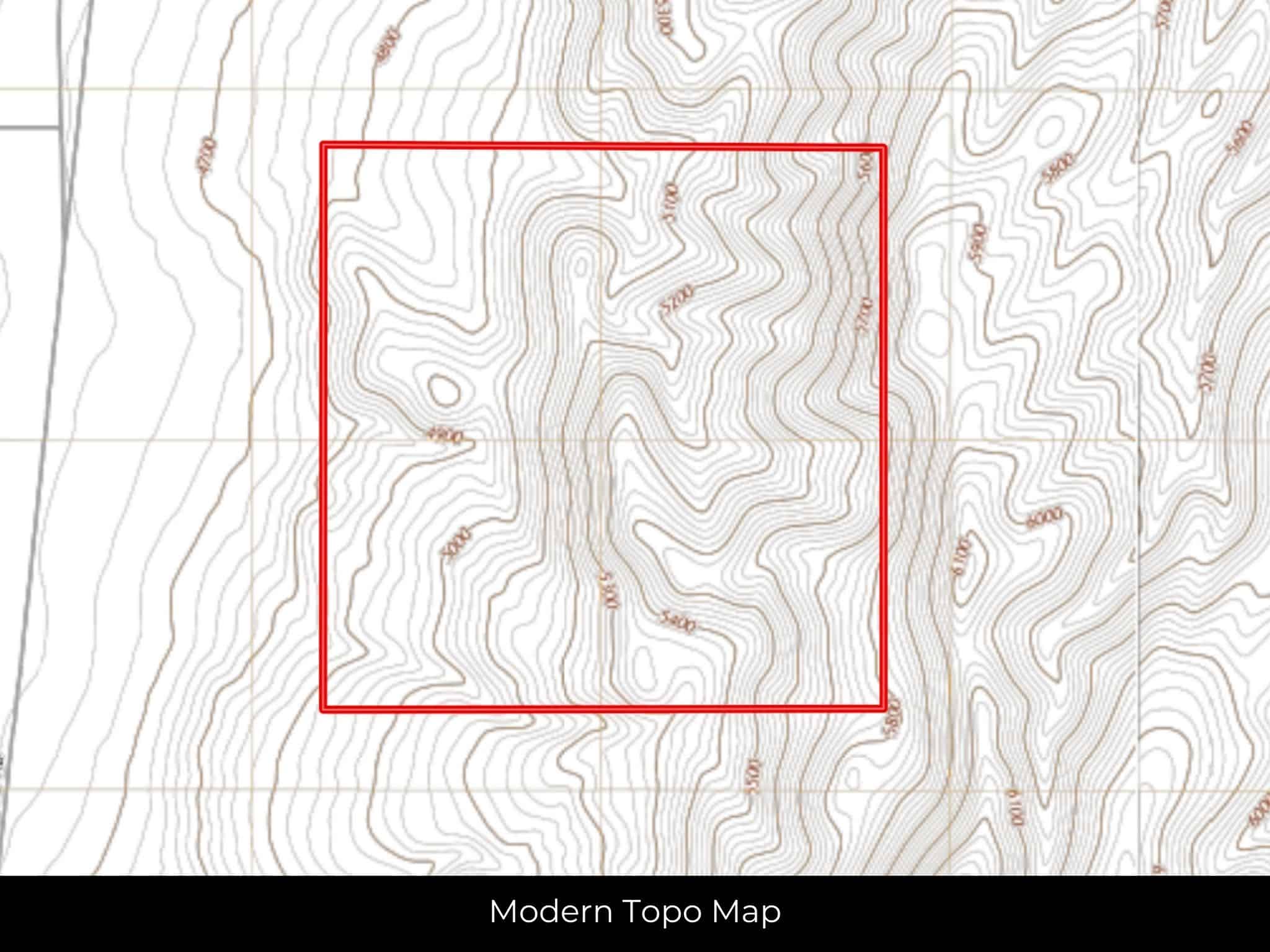
Elevation
5200 ft
Terrain
Slope
Floodplain
No
Duplexes
Yes
Mobiles
Yes
Tiny Homes
Yes
Barndominiums
Yes
RV's
Yes
Camping
Yes
Property Survey, HOA, & Additional Documents
Utilities
🔌 Power: Solar, wind, propane, or alternative energy source.
💧 Water: Water well, collection, hauling/delivery, or alternative.
🚽 Sewer: Septic or alternative sewer system.
☎️ Phone: cellular, VOIP (see internet below), and satellite phone through Iridium, Globalstar, or Inmarsat.
🌐 Internet: satellite internet through Starlink, HughesNet, or ViaSat.
📺 Cable: satellite cable through Dish or DirectTV.
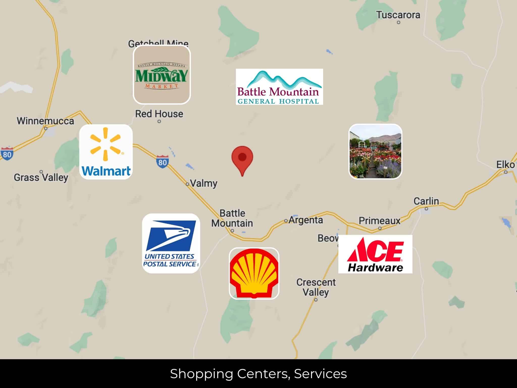
Nearby Cities, Conveniences, and Attractions
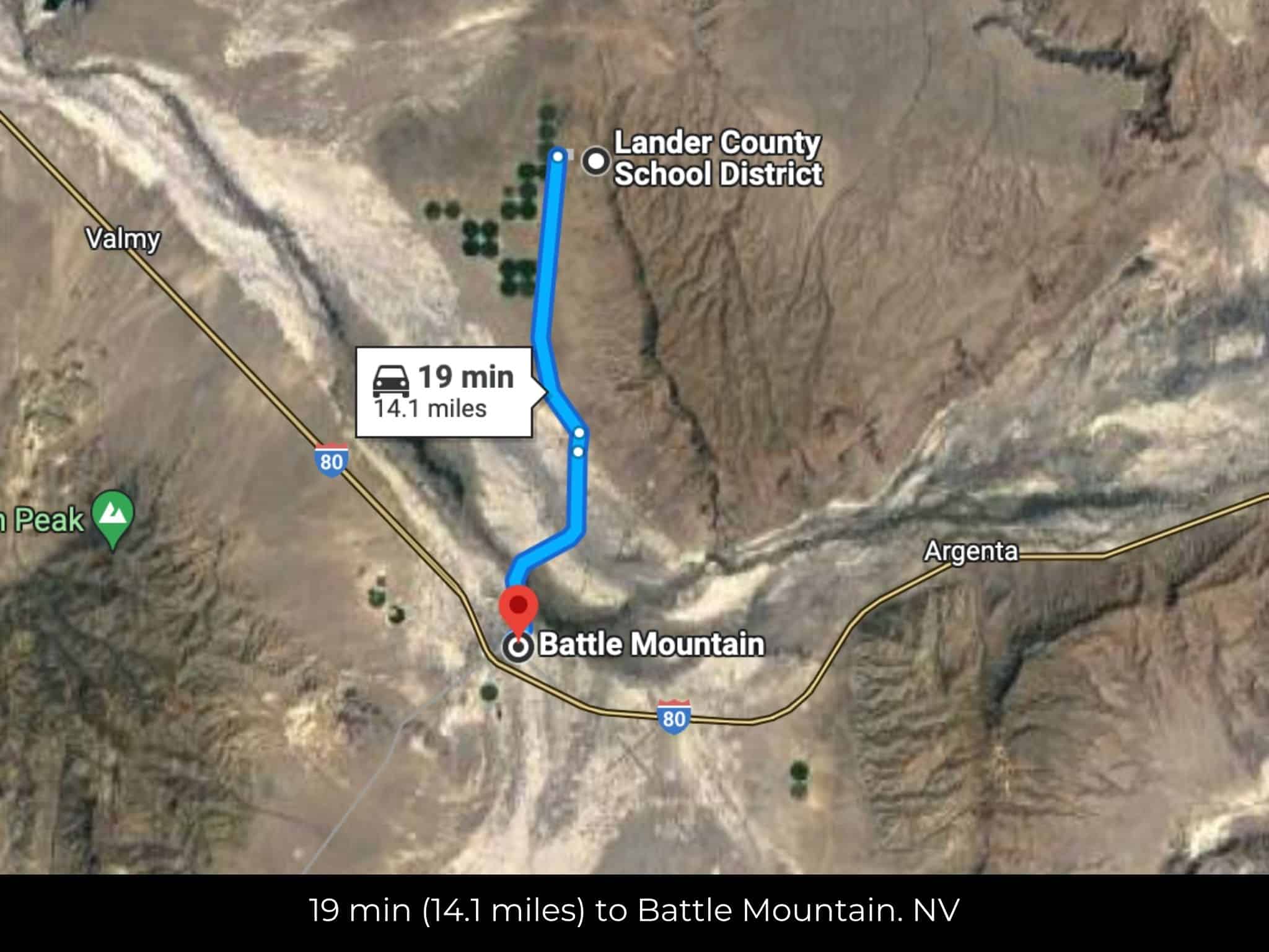
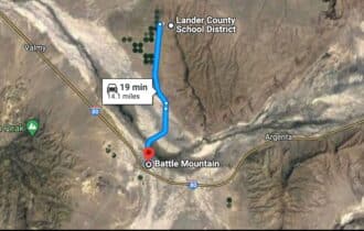
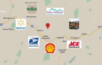
18 min (14.0 miles) to Battle Mountain. NV (about)
19 min (14.2 miles) to Lander Hardware, Battle Mountain, NV (about)
20 min (14.4 miles) to Battle Mountain General Hospital, Battle Mountain, NV (about)
20 min (14.6 miles) to Midway Market, Battle Mountain, NV (about)
20 min (14.6 miles) to USPS, Battle Mountain, NV (about)
21 min (14.8 miles) to Battle Mountain Cookhouse Museum (about)
22 min (15.1 miles) to Shell, Battle Mountain, NV (about)
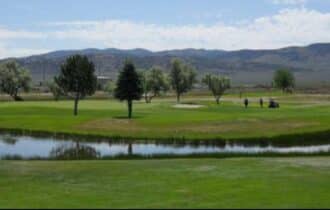
24 min (16.5 miles) to Mountain View Golf Course (about)
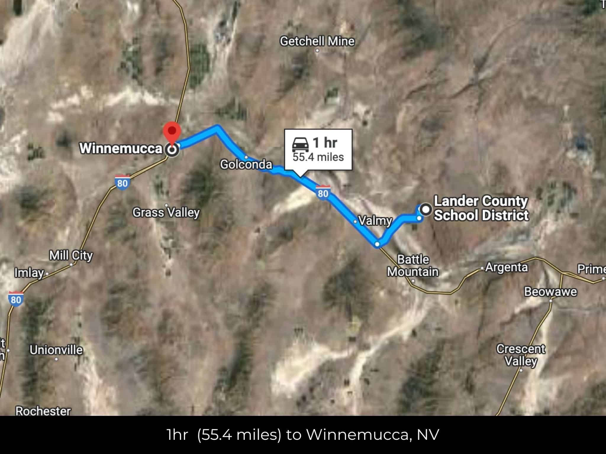
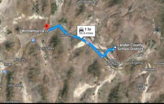
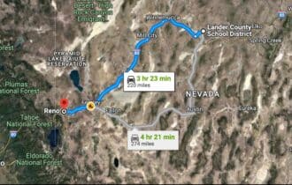
1 hr (55.4 miles) to Winnemucca, NV (about)
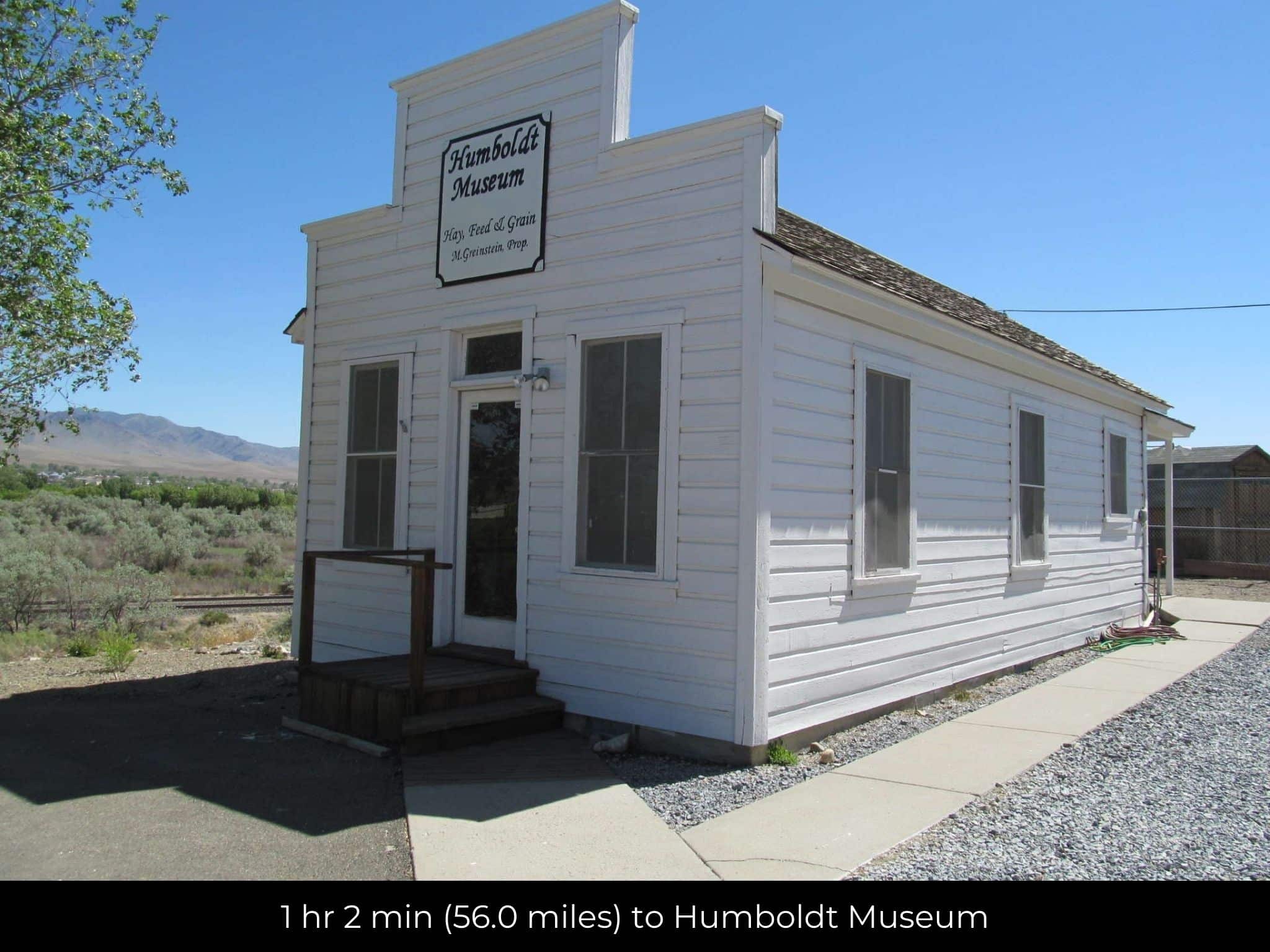
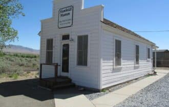
1 hr 2 min (56.0 miles) to Humboldt Museum (about)
1 hr 3 min (56.3 miles) to Ron's Seed & Supply, Winnemuca, NV (about)
1 hr 4 min (58.2 miles) to Walmart Supercenter, Winnemuca, NV (about)
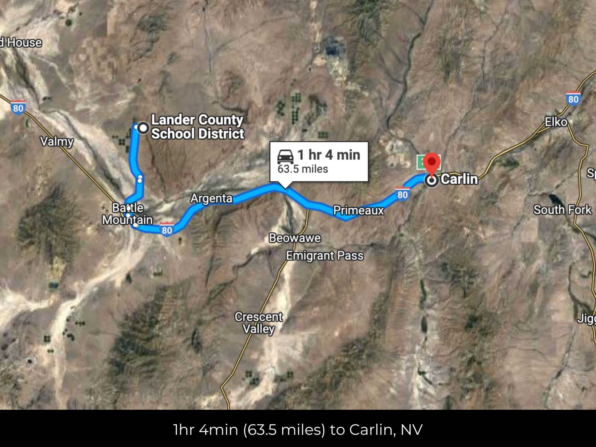
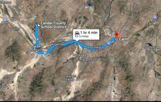
1 hr 5 min (63.5 miles) to Carlin, NV (about)
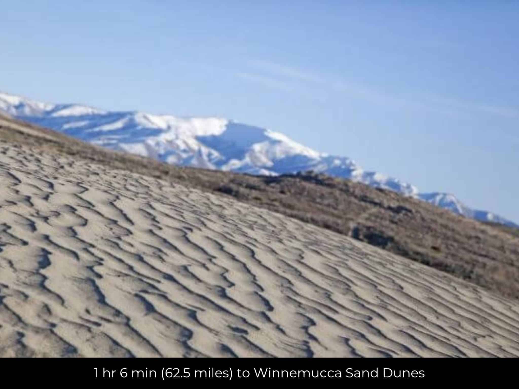
1 hr 6 min (62.5 miles) to Winnemucca Sand Dunes (about)
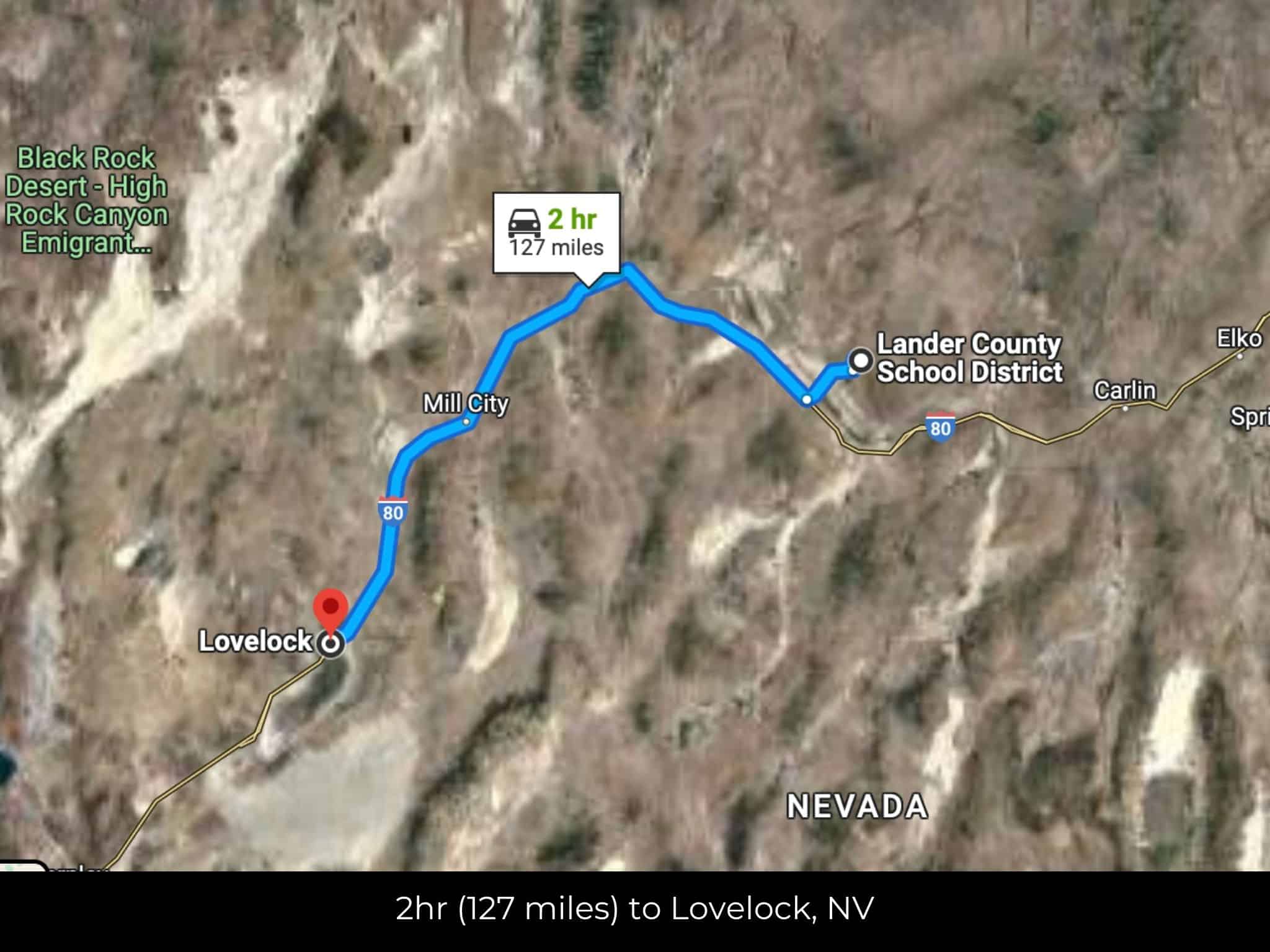
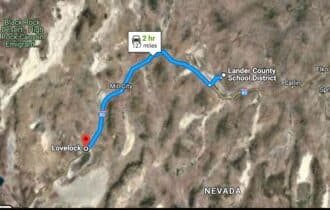
2 hr (127 miles) to Lovelock, NV (about)
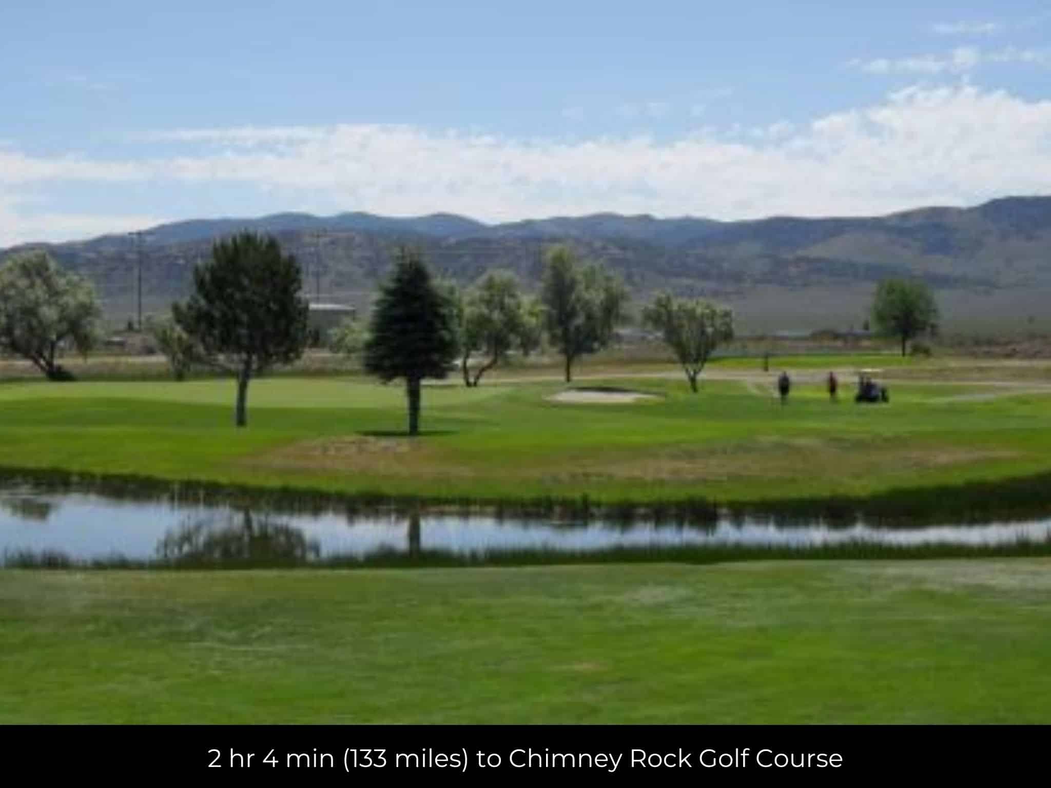
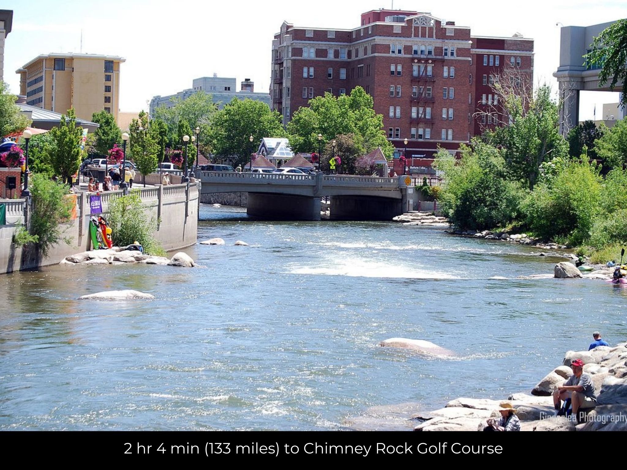
2 hr 4 min (133 miles) to Chimney Rock Golf Course (about)
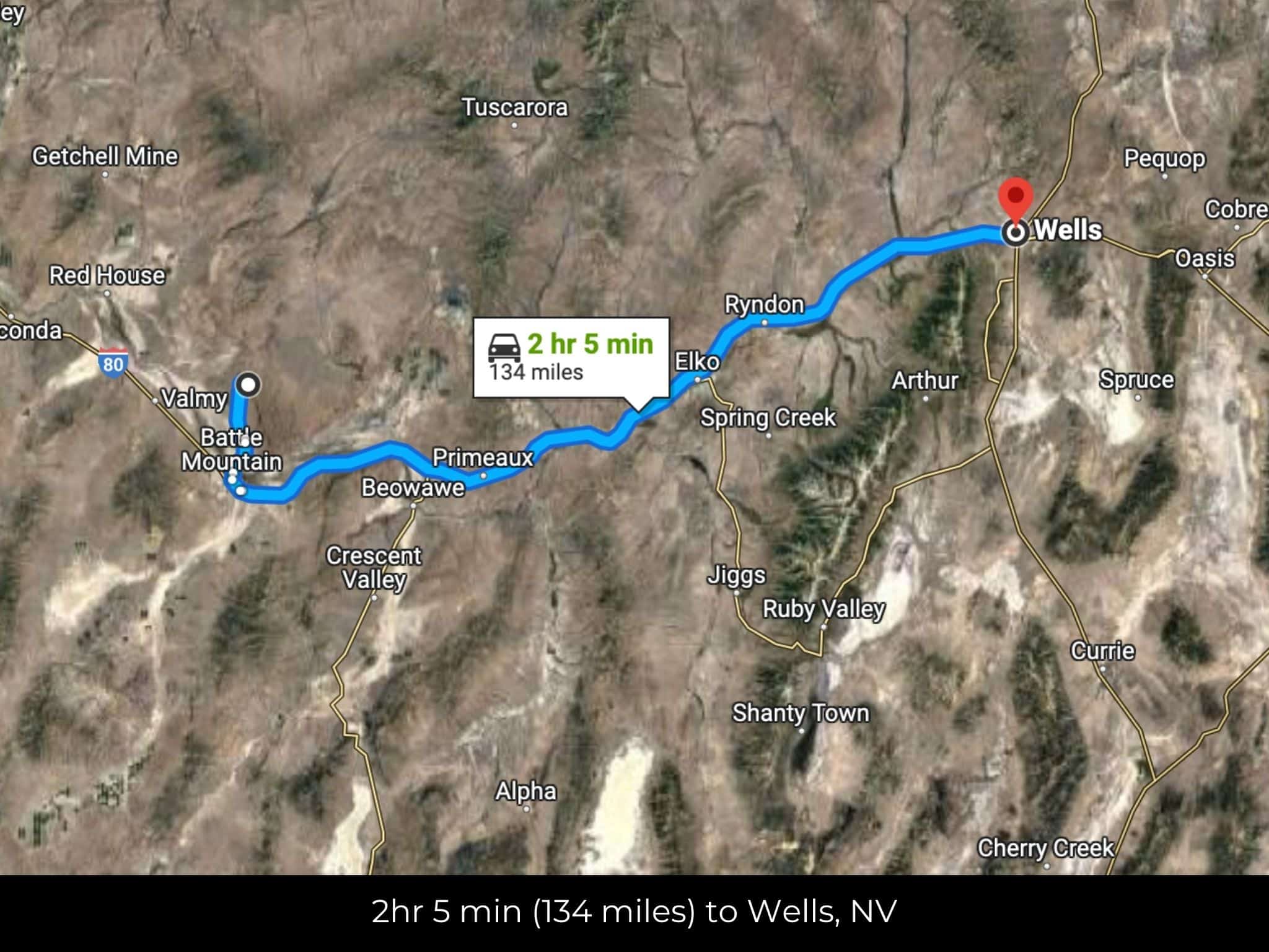
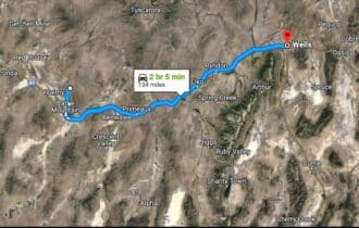
2 hr 7 min (134 miles) to Wells, NV (about)
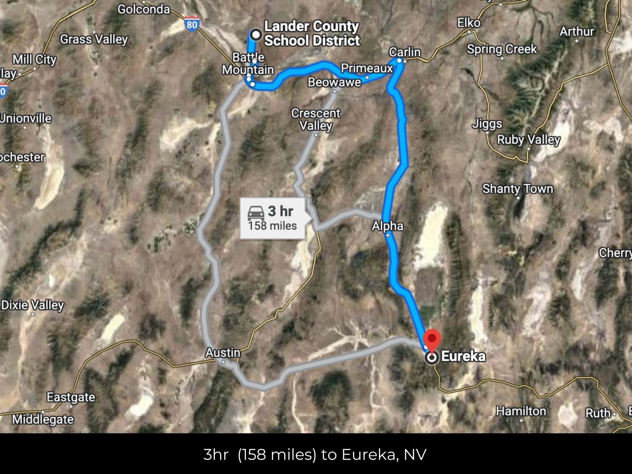
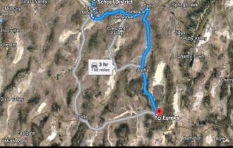
2 hr 26 min (152 miles) to Eureka, NV (about)
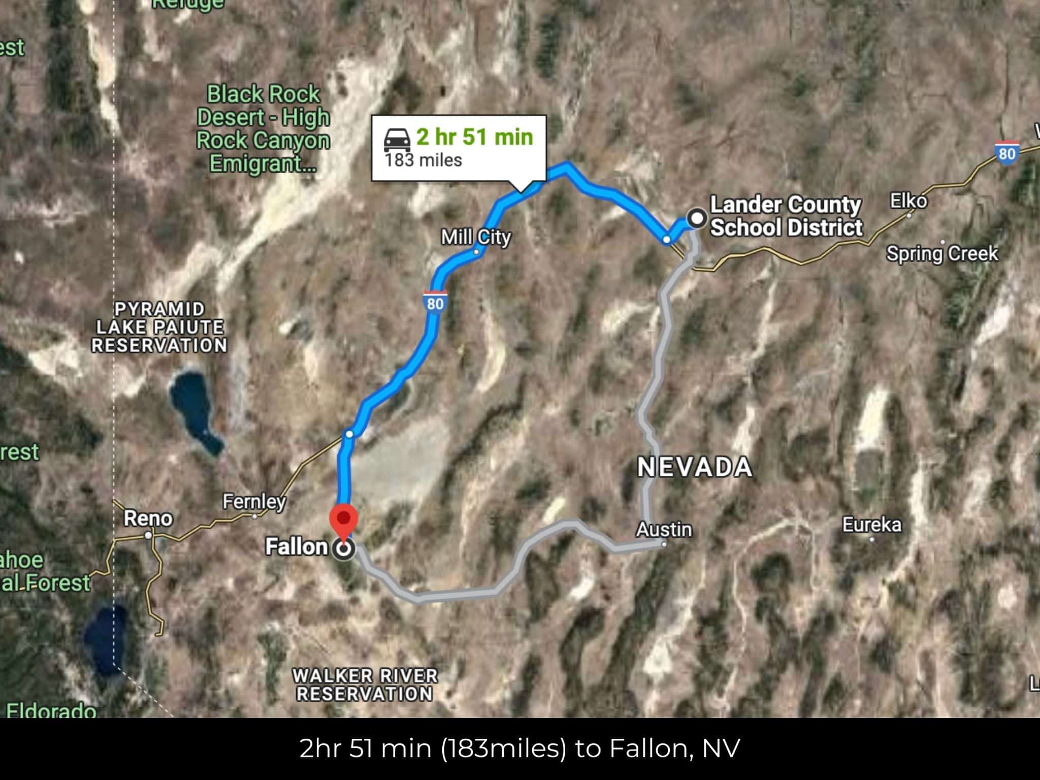
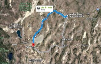
2 hr 51 min (183 miles) to Fallon, NV (about)
3 hr 22 min (220 miles) to University of Nevada (about)
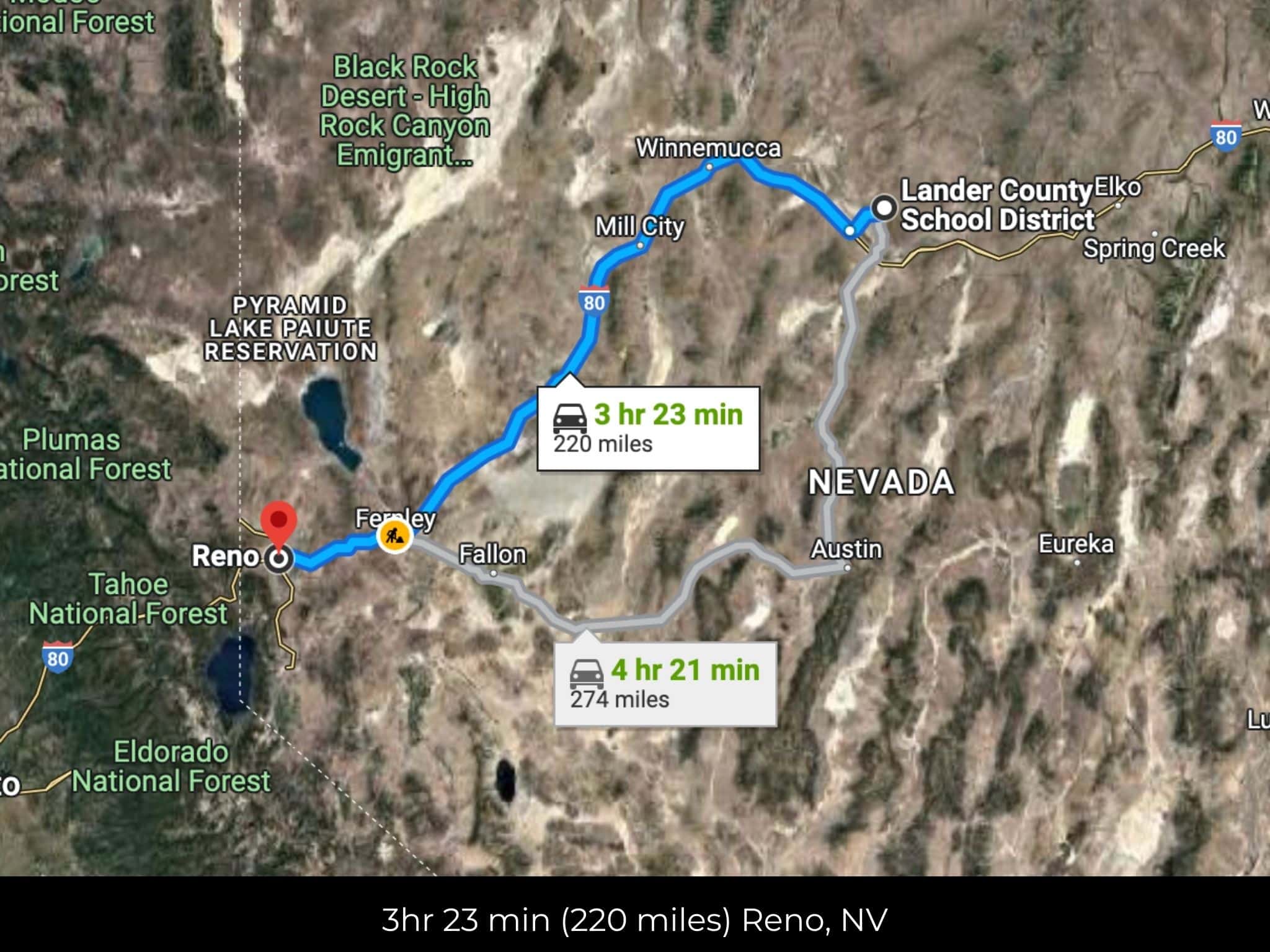
3 hr 24 min (220 miles) to Reno, NV (about)
3 hr 24 min (220 miles) to Downtown Reno (about)
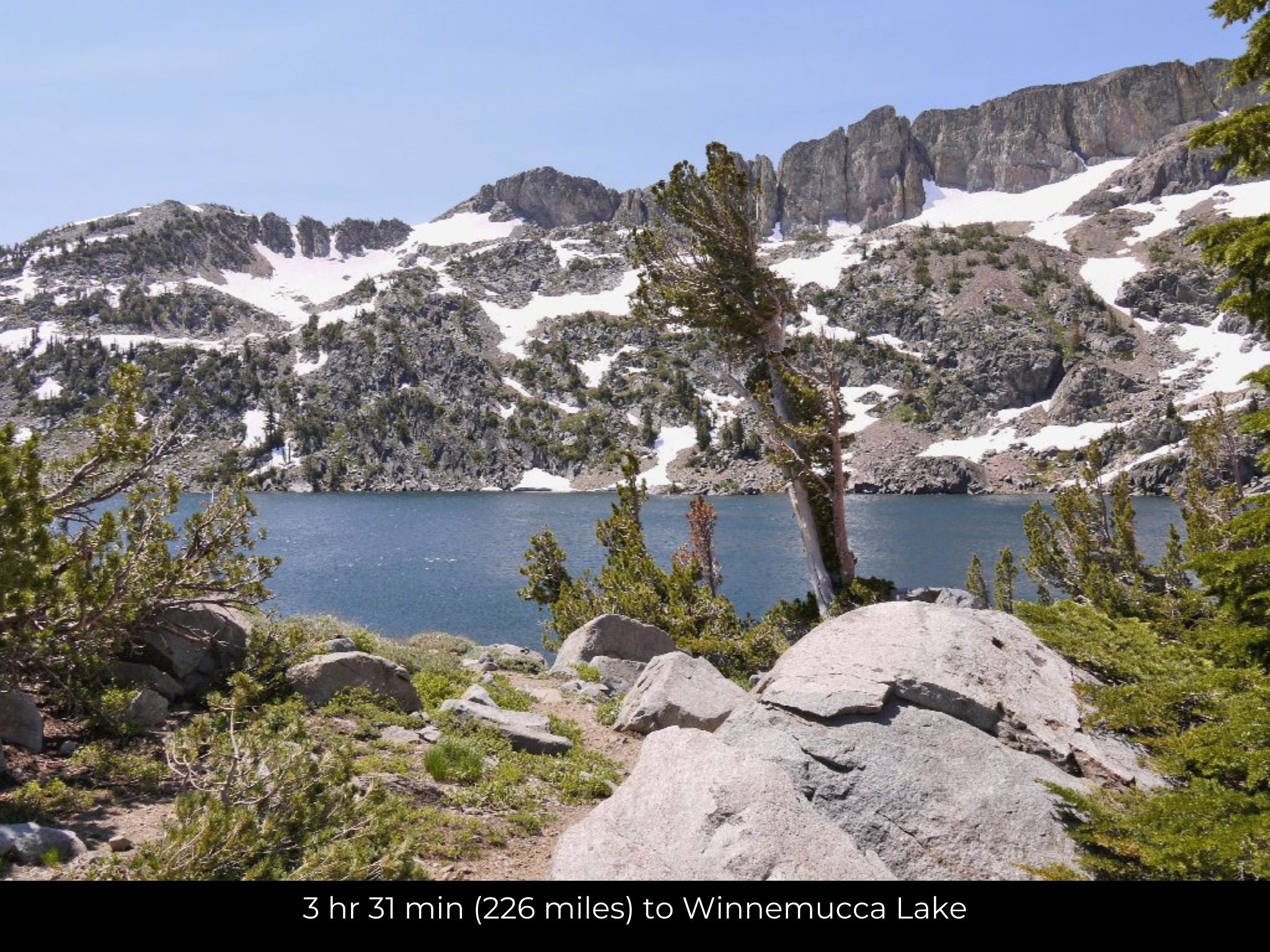
3 hr 31 min (226 miles) to Winnemucca Lake (about)
3 hr 31 min (223 miles) to Fishing, Virginia Lake (about)
County Contacts
Lander County Assessor Lura Duvall (775) 635-2610 (website)
Lander County Treasurer Jusdivia Johnson (775) 635-5127 (website)
Lander County Clerk Molly Gonzalez (775) 635-5738 (website)
Lander County Zoning (775) 635-2860 (website)
Lander County Health (website)
Lander County CAD (website)
Lander County GIS (website)
Closing Costs and Fees
$299
Document Prep Fee
Buyer will pay a $299 document preparation fee, which includes all postage and county recording fees. Seller will warrant title to the property.
$0
In-House Closing Fee
There will be no additional fees or expenses for an in-house closing. We will close in 14 days or less. This is the fastest, easiest, and cheapest way to close.
$1,500+
Title Company Fees*
Title Company costs are typically 2-5% of the purchase price with a minimum fee of around $1,500. Many states have legislated, standard insurance rates and other fees vary by the title company.
* If Buyer elects to close through a third-party title company, Buyer will bear all closing costs and expenses, including Seller’s title policy and Seller's escrow fees. Closing through a title company typically takes 30-45 days, depending on the county, title company, and transaction activity in the area.
Driving Directions and GPS Coordinates
🚗 Driving Directions: Head south on Izzenhood Rd toward Mote Rd 7.5 mi, Continue onto Izzenhood Rd 0.5 mi, Continue onto Hwy 354.8 mi, Continue onto NV-806 1.0 mi, Continue onto N Reese St 0.2 mi, Turn right onto E Front St
📍 Northwest Corner: 40.829, -116.9019 (Google Map)
📍 Northeast Corner: 40.8289, -116.8843 (Google Map)
📍 Southeast Corner: 40.8155, -116.8843 (Google Map)
📍 Southwest Corner: 40.8155, -116.902 (Google Map)
📍 Center Point: 40.8225, -116.8927 (See embedded Google Map below 👇.)
Google Map
If you click the blue Directions link below, 👇 you can get Google turn-by-turn directions to the property on any device. The map coordinates for the Google Map below are for the approximate center of the property and not the entrance, gate, or primary access point for the property. Google Maps may provide driving directions that require the use of private or abandoned roads or may require you to go through gates located on private property. Do not trespass on private property! Some properties will require a 4-wheel drive vehicle or may be inaccessible in certain weather conditions. Please don't get stuck or lost.
Additional Notes
As-Is and As-Available: This property is being sold property “as-is” and “as-available.” No representations as to fitness for a particular purpose have been made. No verbal claims or promises have been made. Please see our Terms of Service for more information.
Contract: After making your initial deposit, we will email you the purchase and sale agreement, which includes a warranty deed. Agreements are prepared manually and will be sent out Monday through Friday between 9 AM and 5 PM CST. Thank you for your patience.
No Monthly Payments: We are not offering seller financing on this property. This is an all-cash transaction. We are not offering a payment plan. If you would like to finance your purchase of the property, please contact a third-party lender prior to making your deposit. We will not sign a purchase and sale agreement that is contingent upon third-party financing without a pre-approval letter.
3% Buyer's Agent Commission: You are not required to have an agent or broker assist you with purchasing this property. However, if the Buyer does use an agent, and the Seller is made aware of this prior to an agreement on price or signed contract, the Seller will pay a 3% commission to the Buyer's licensed agent or broker.
Maps and GPS Coordinates: Maps and GPS coordinates are believed to be accurate, but accuracy is not guaranteed. The information contained in the maps should not be considered a “legal description,” and the maps and GPS coordinates are not a replacement for a survey. We have taken reasonable steps to ensure that parcel lines, maps, and coordinates are in fact accurate, but third-party geographical information system (GIS) providers, including information from the county, often contain errors and inaccuracies.