


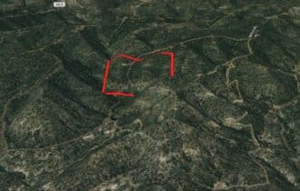
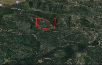


SOLD: You Can Own Two Mountain Peaks on 41.04 Acres!
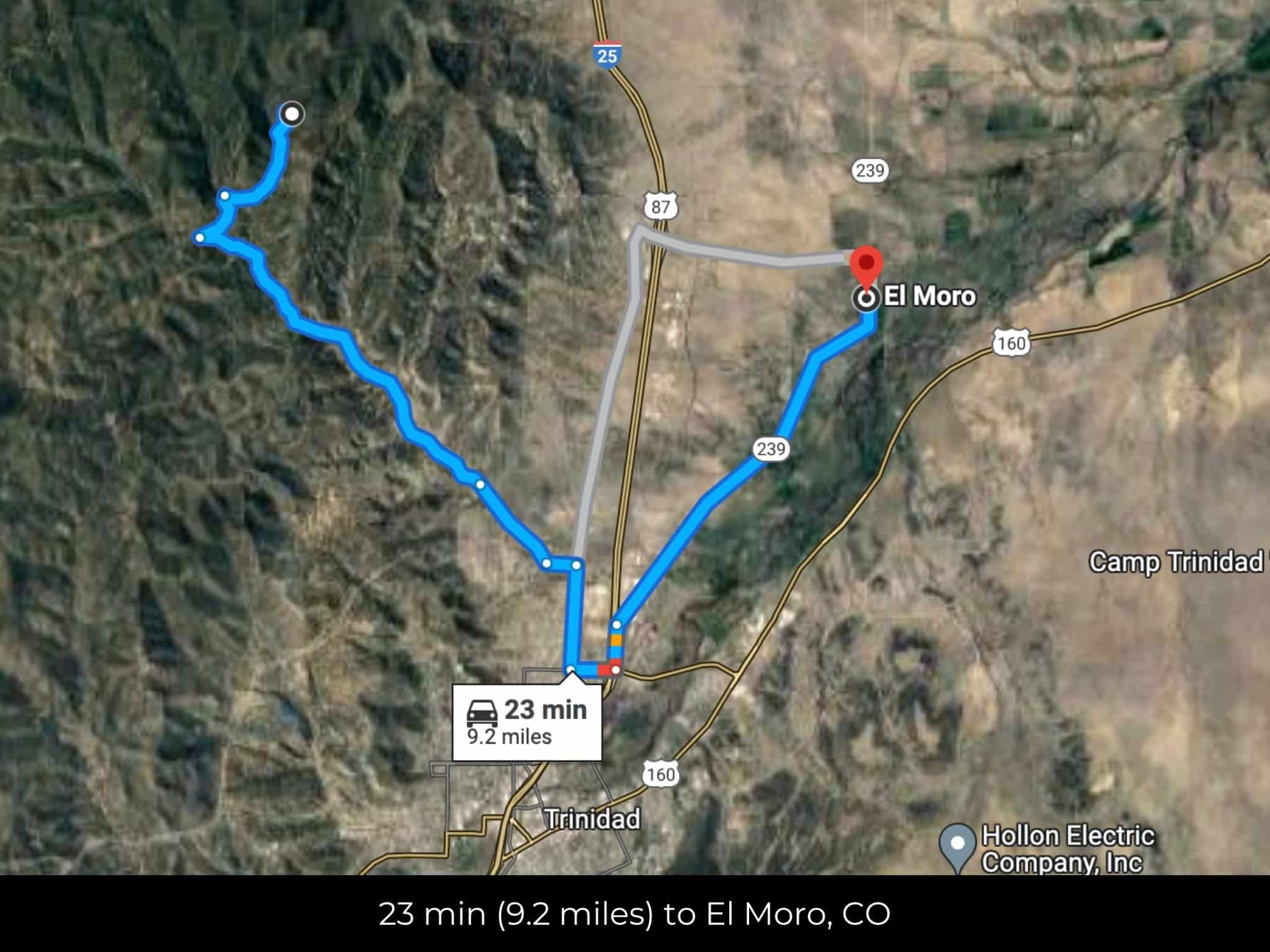
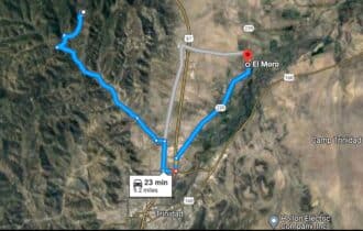
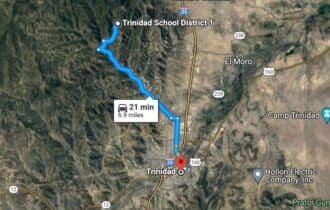
23 min (9.2 miles) to El Moro, CO
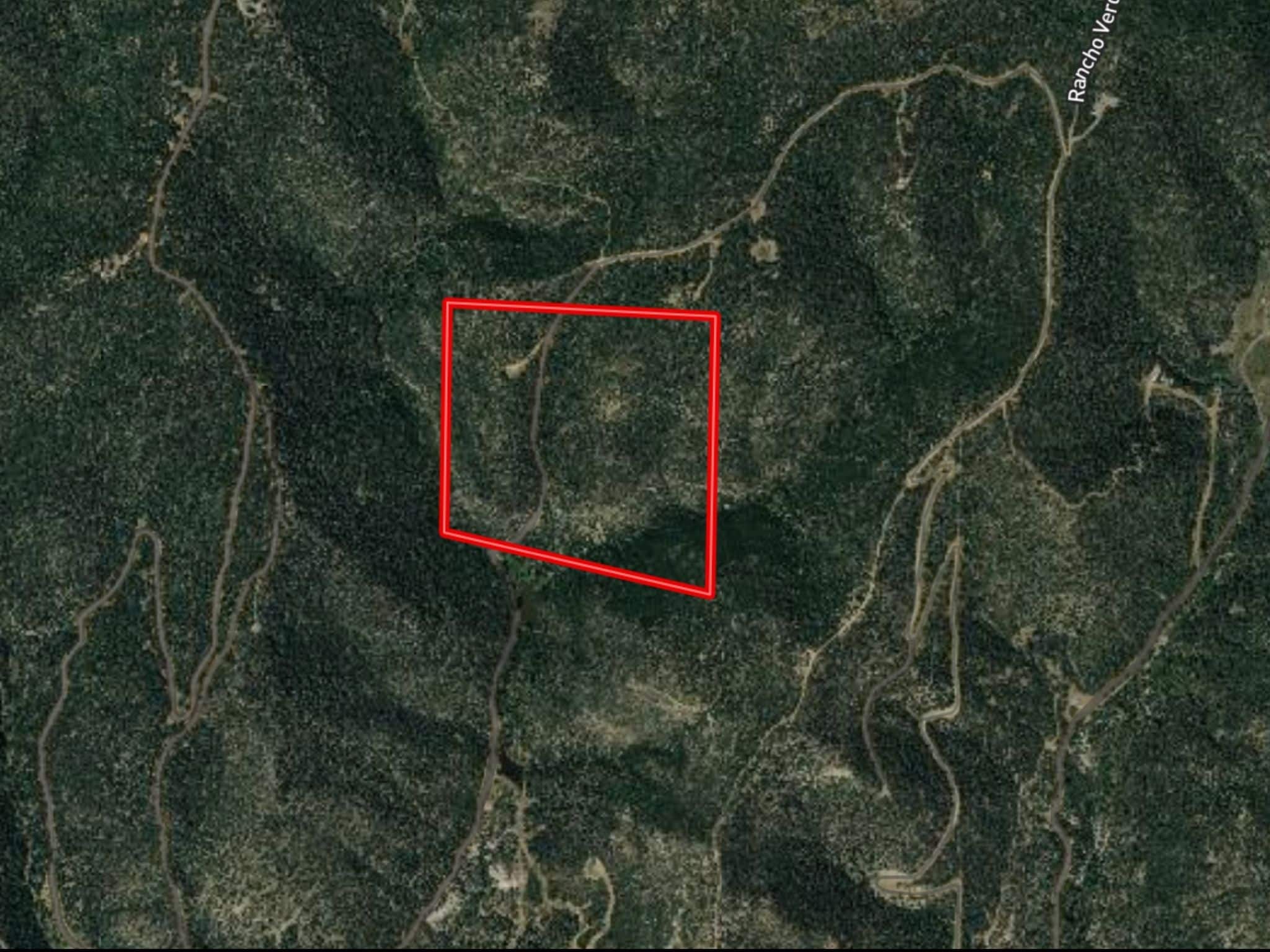
APN# 10428300
Payment
Payment Notes:
Warranty of Title: The property will be conveyed via a general warranty deed, guaranteeing you free and clear title to the property.
We accept Cash or 3rd party financing with a pre-approval letter.
We do not offer owner financing. No payment options are available for this property.
Paying a 3% Buyer's Agent Commission!
Property Description
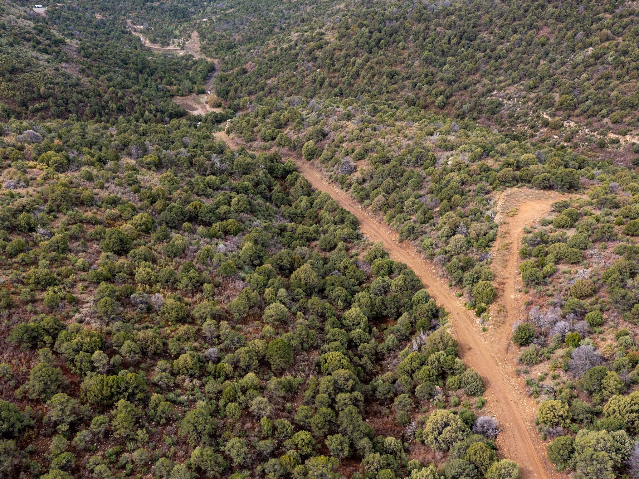
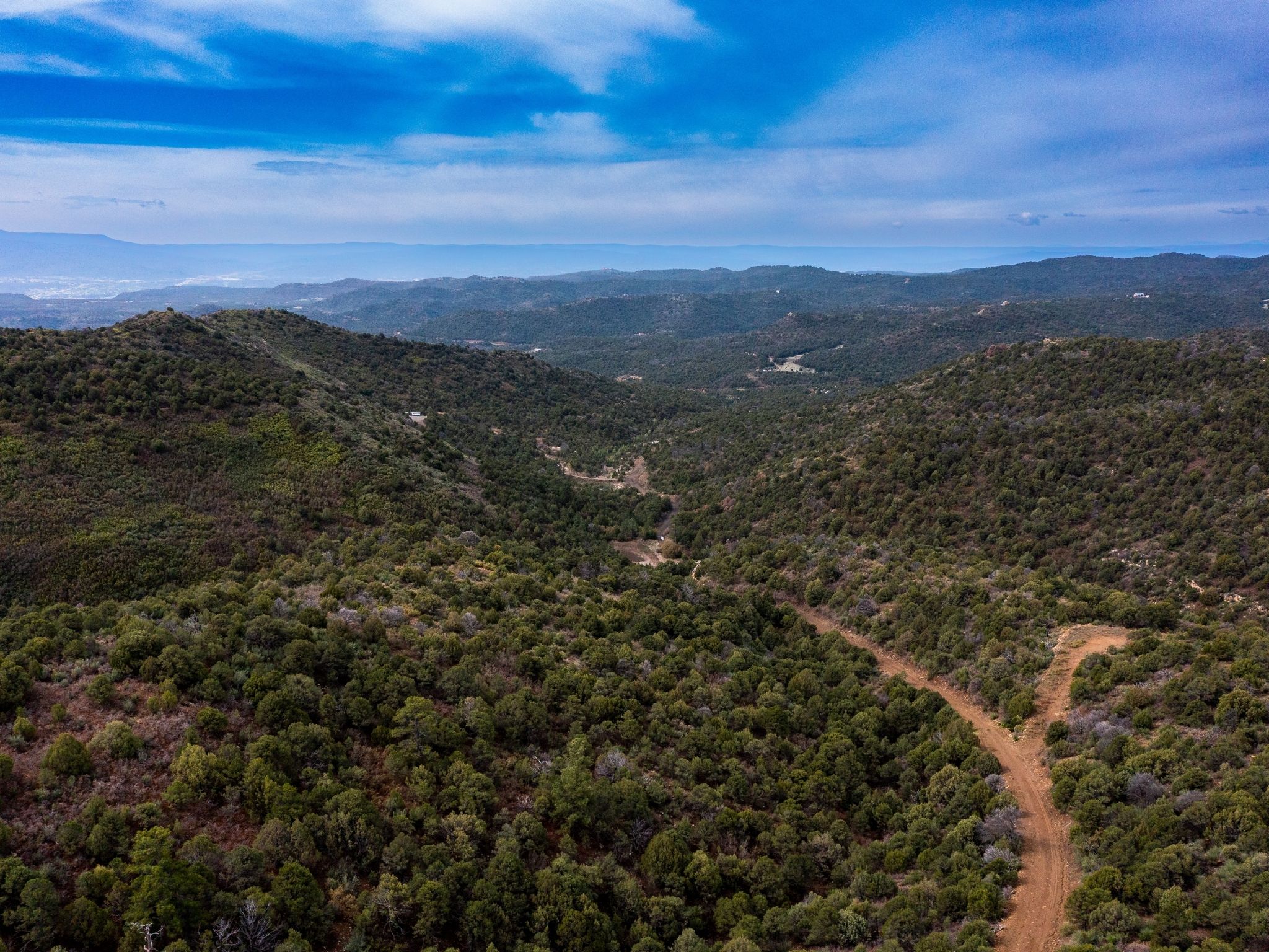
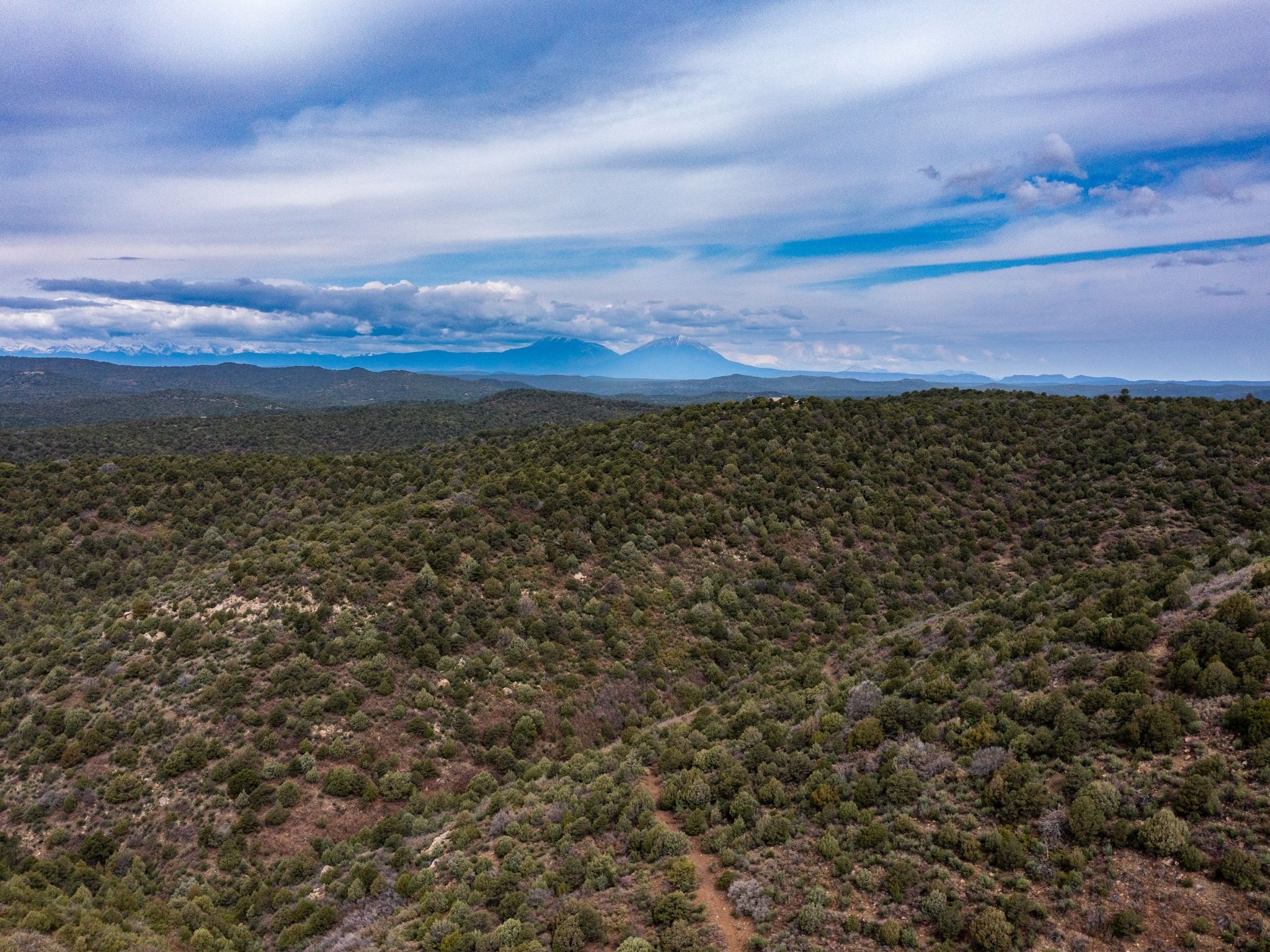
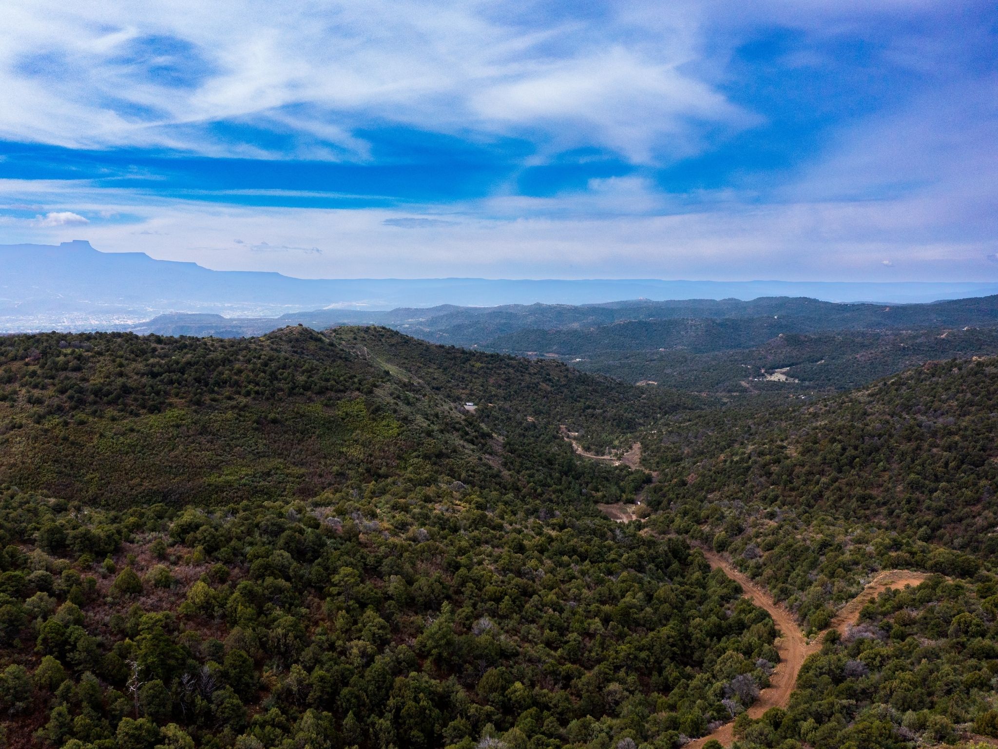
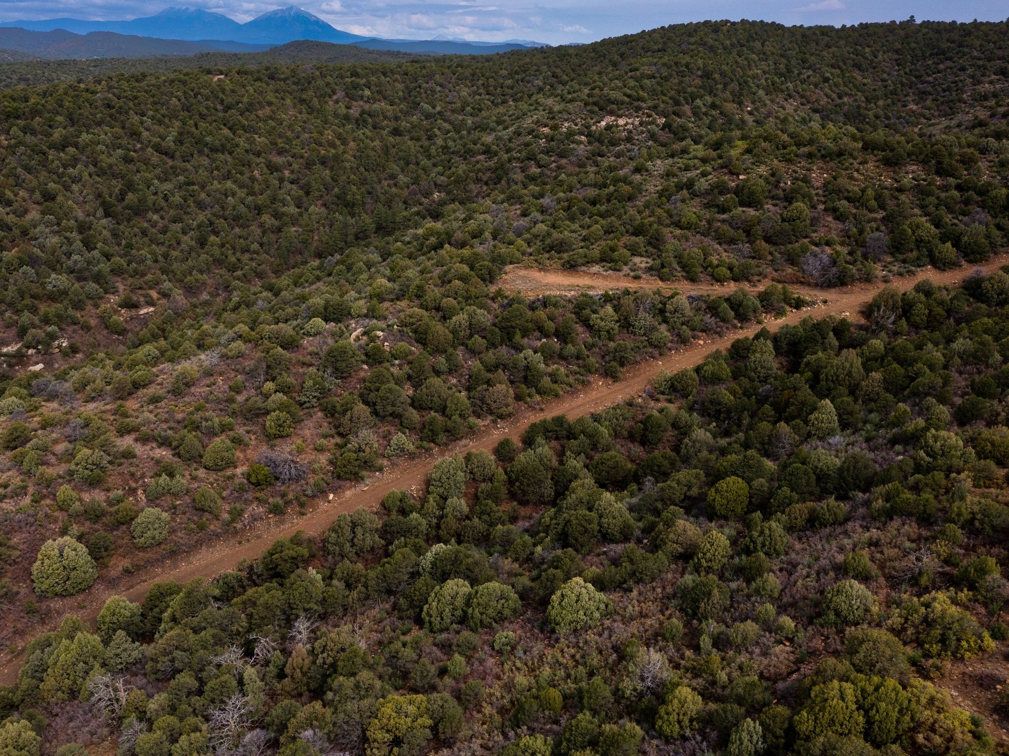
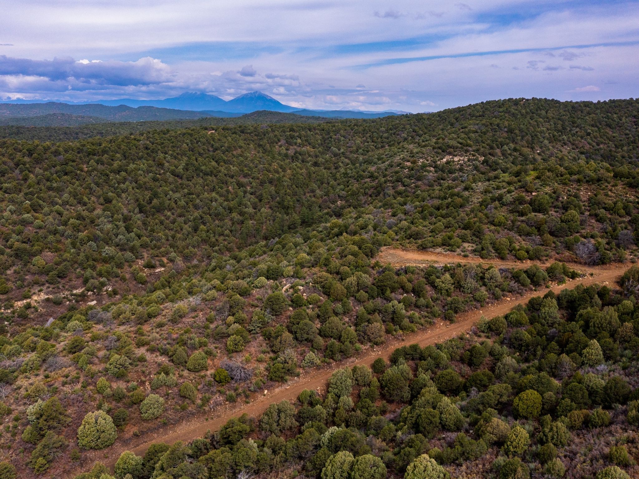
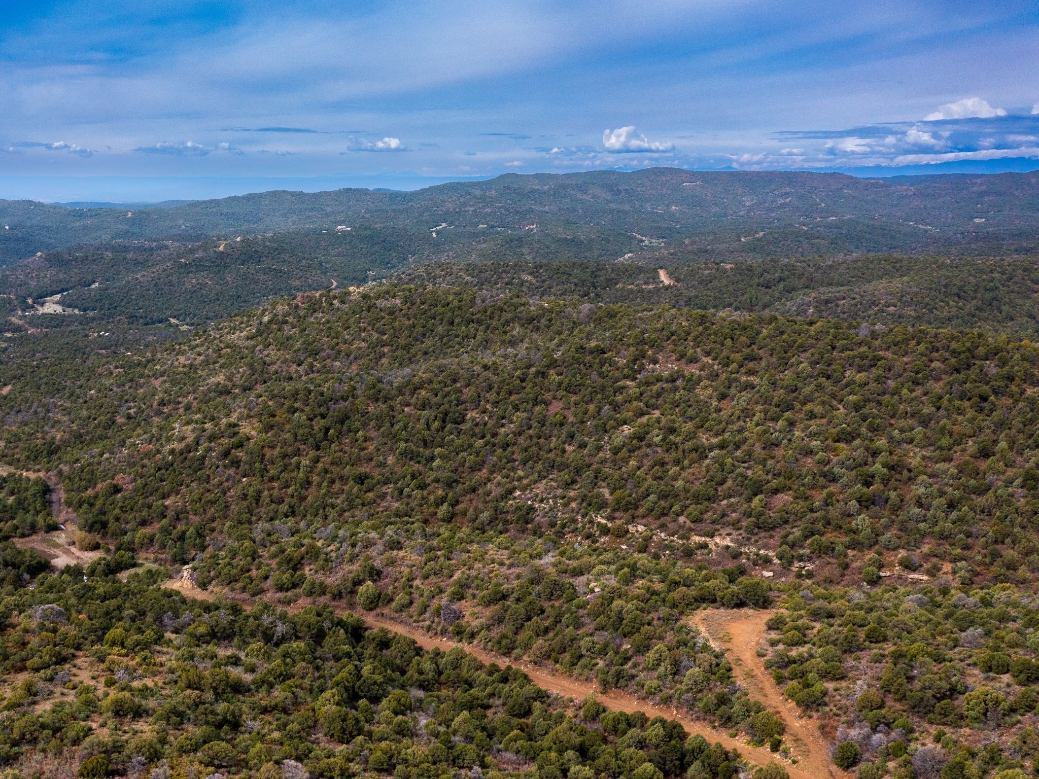
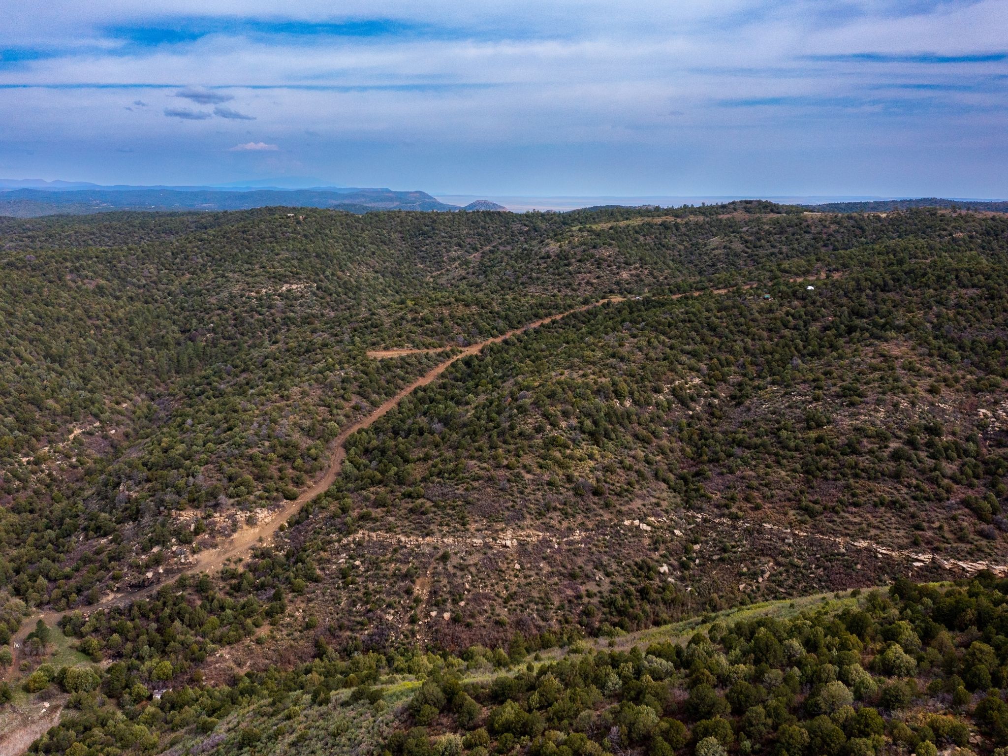
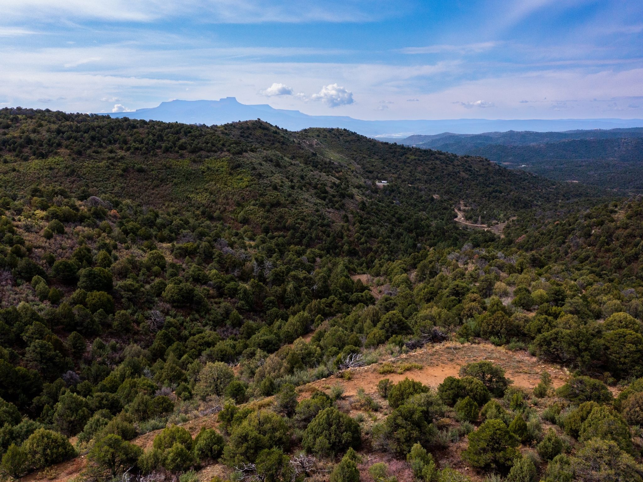
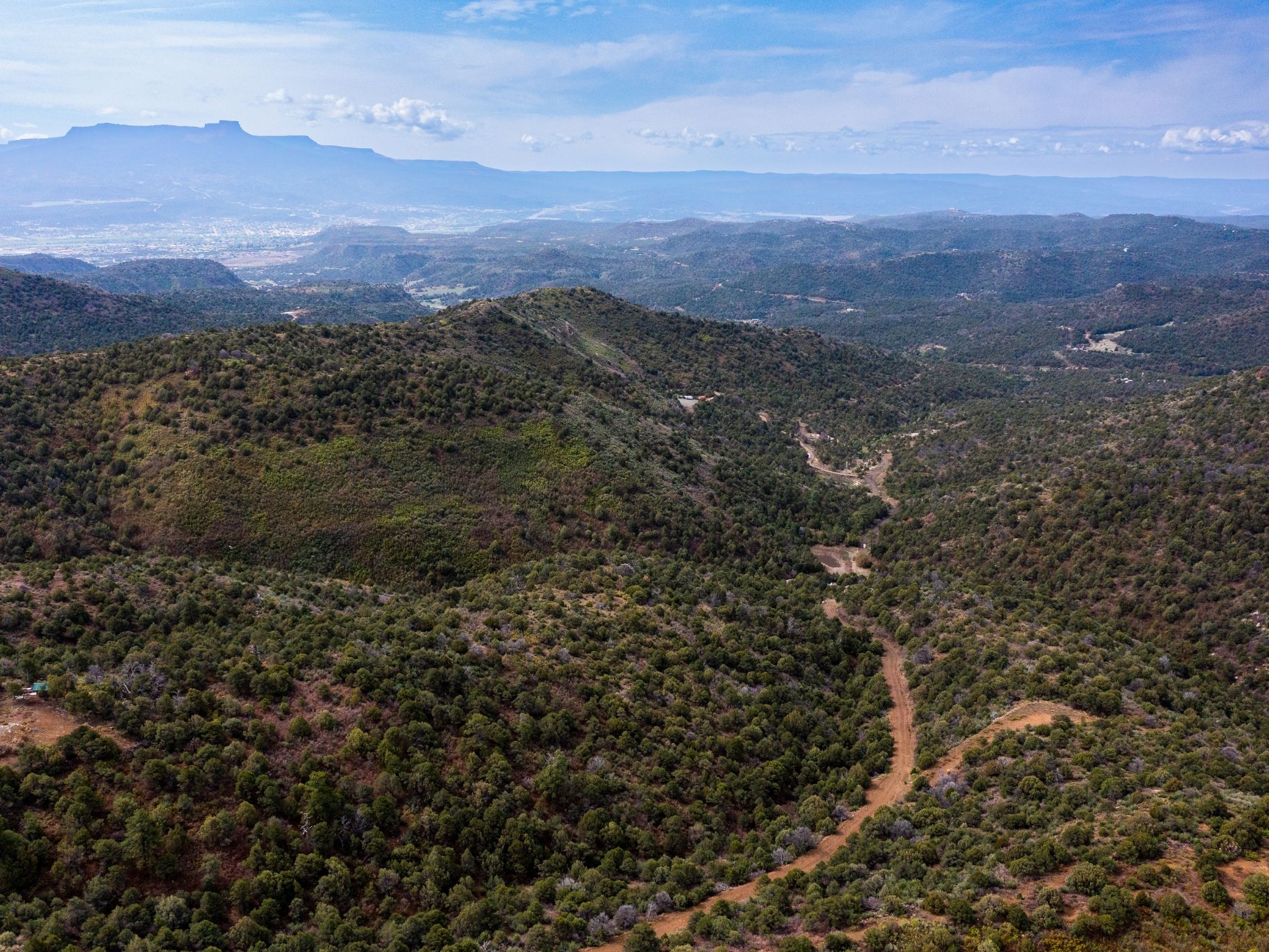
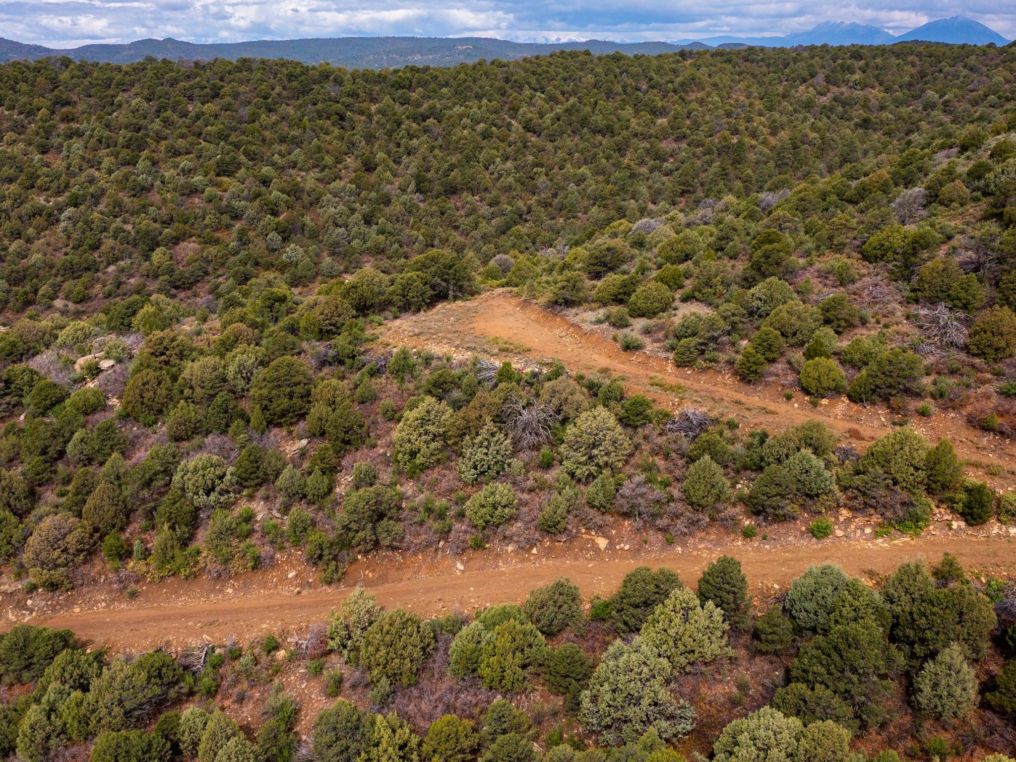
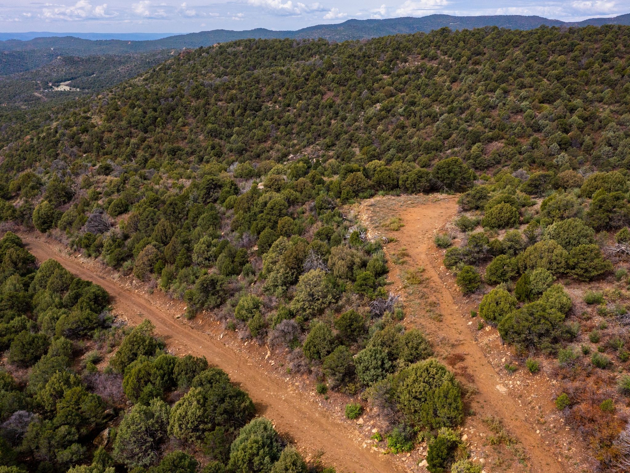
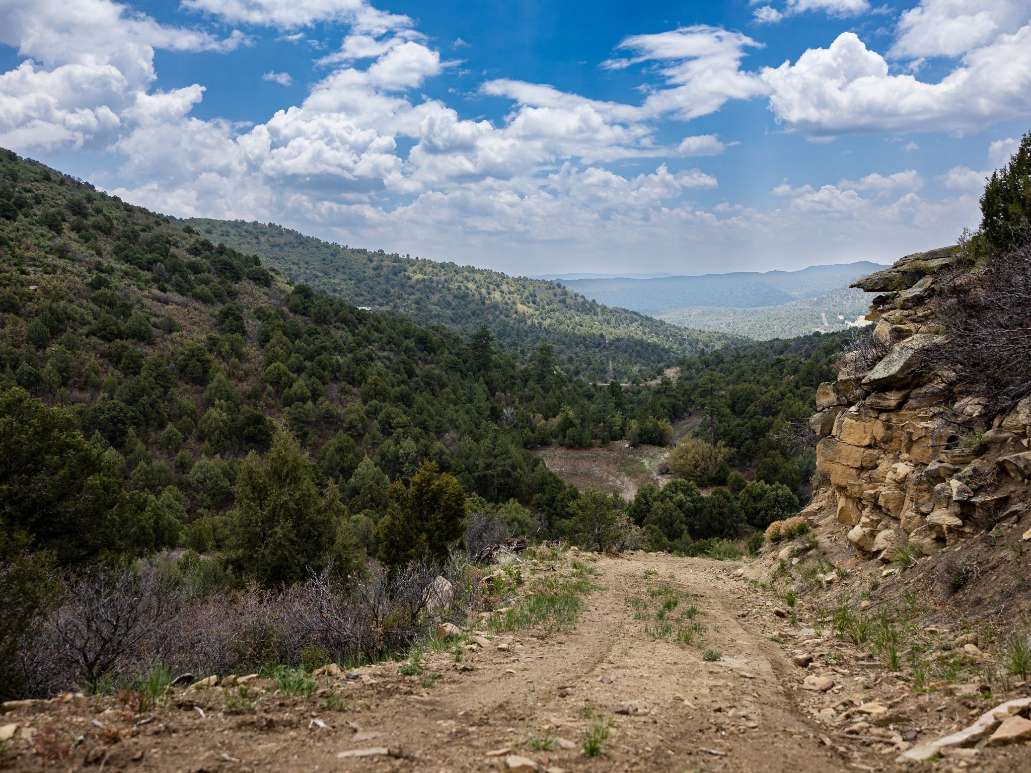
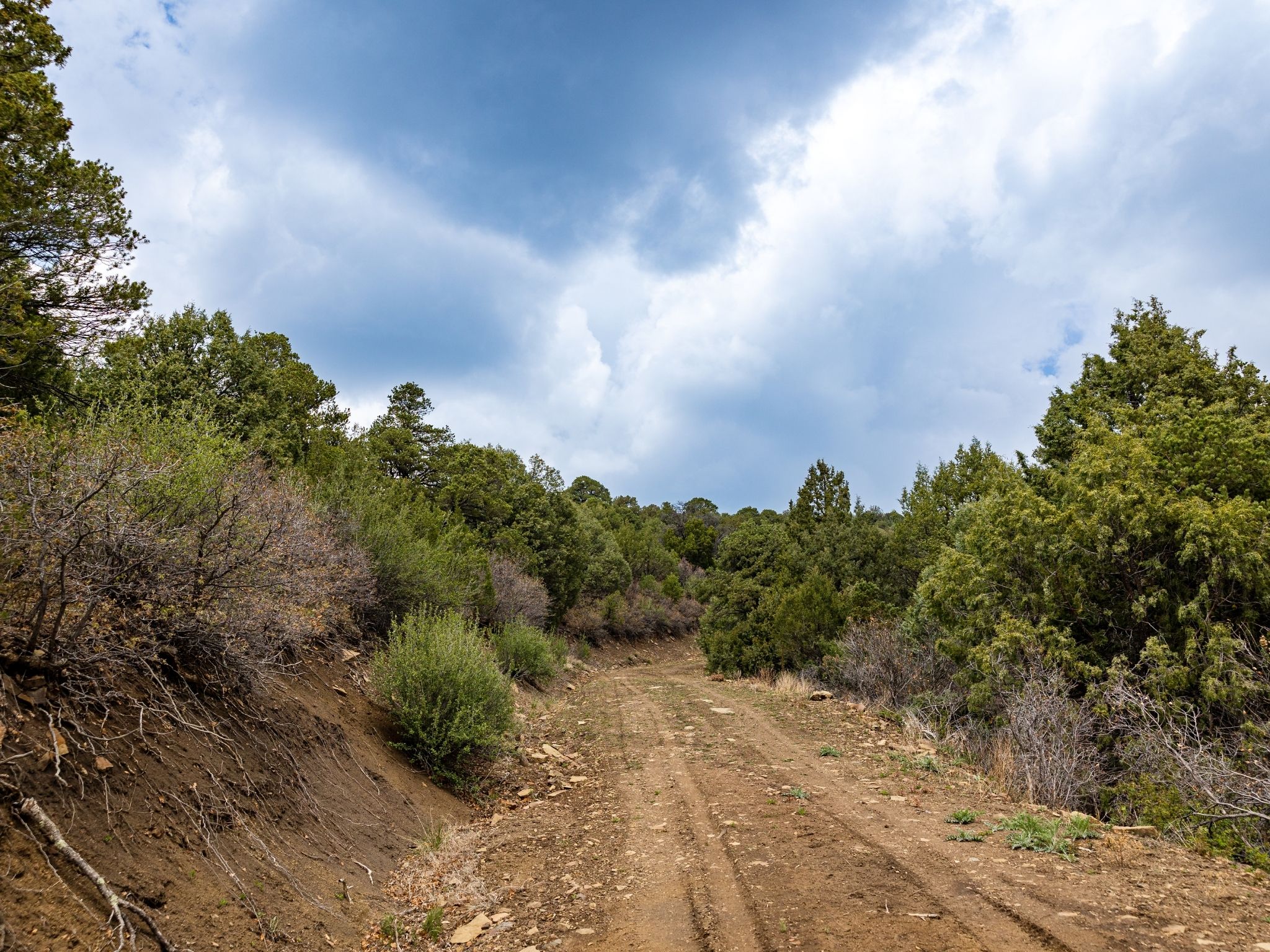
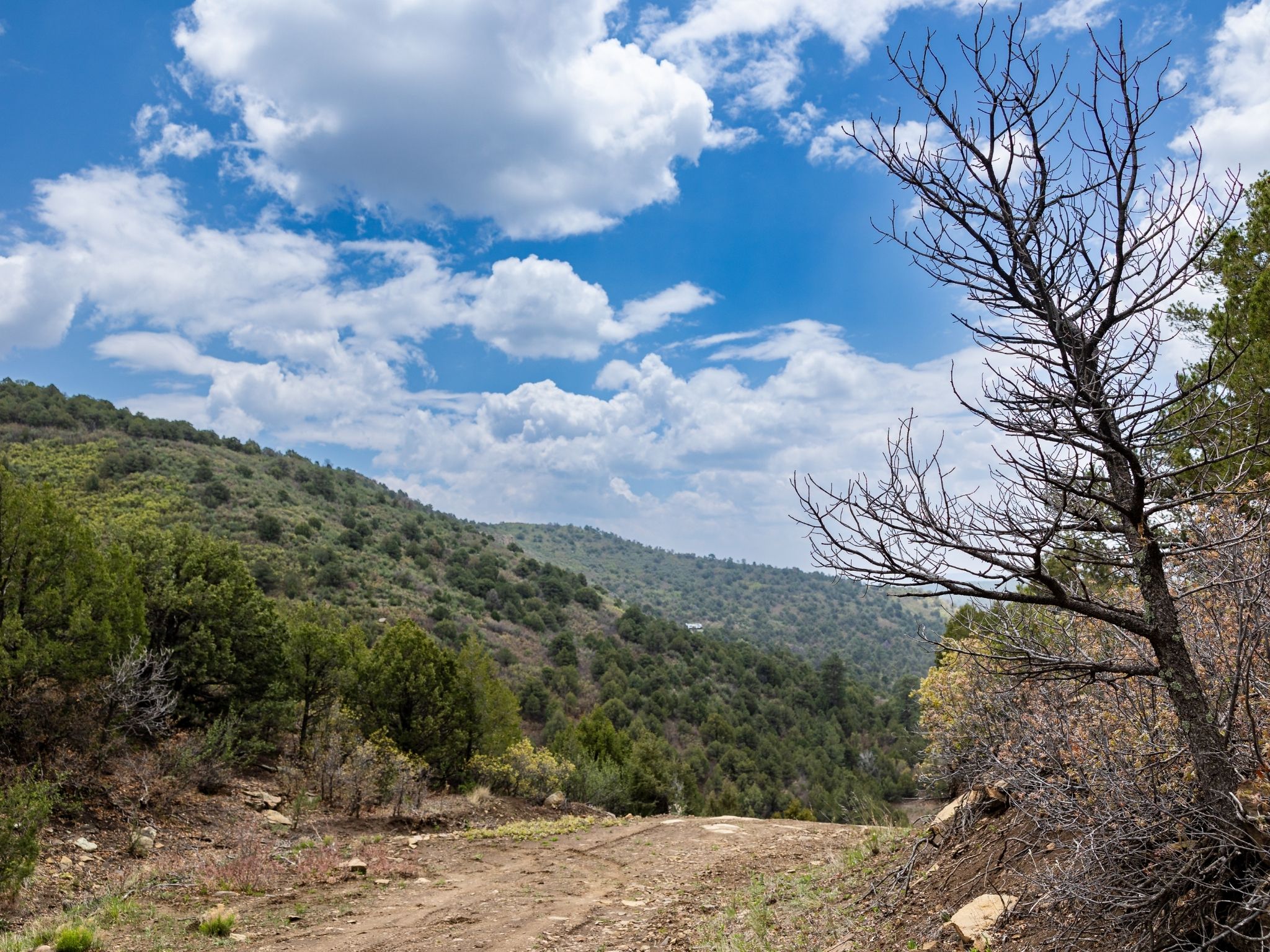
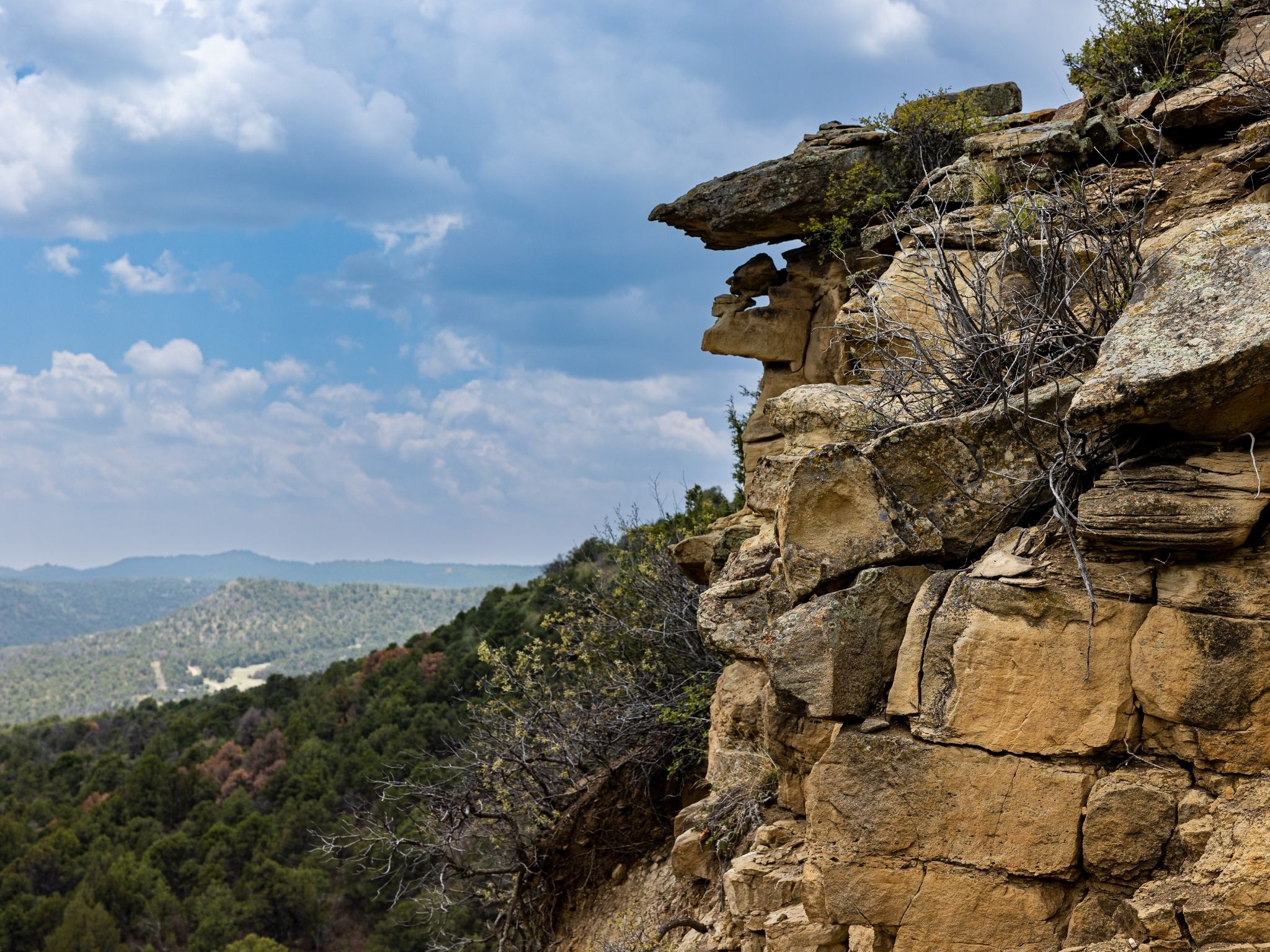
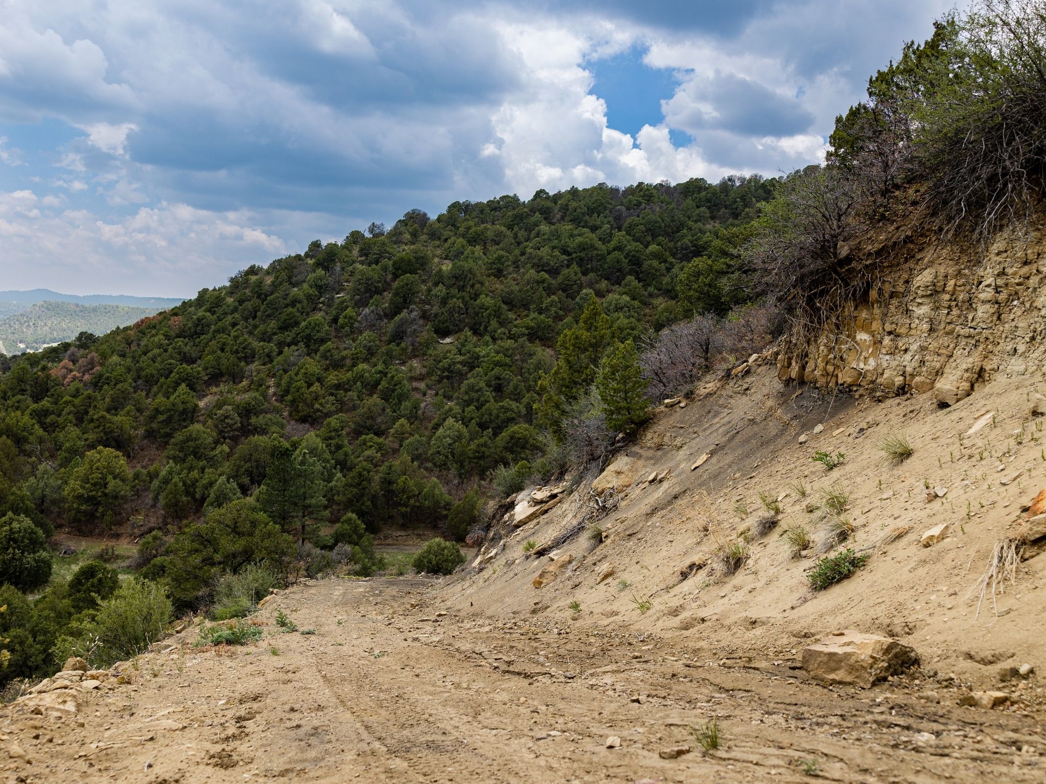
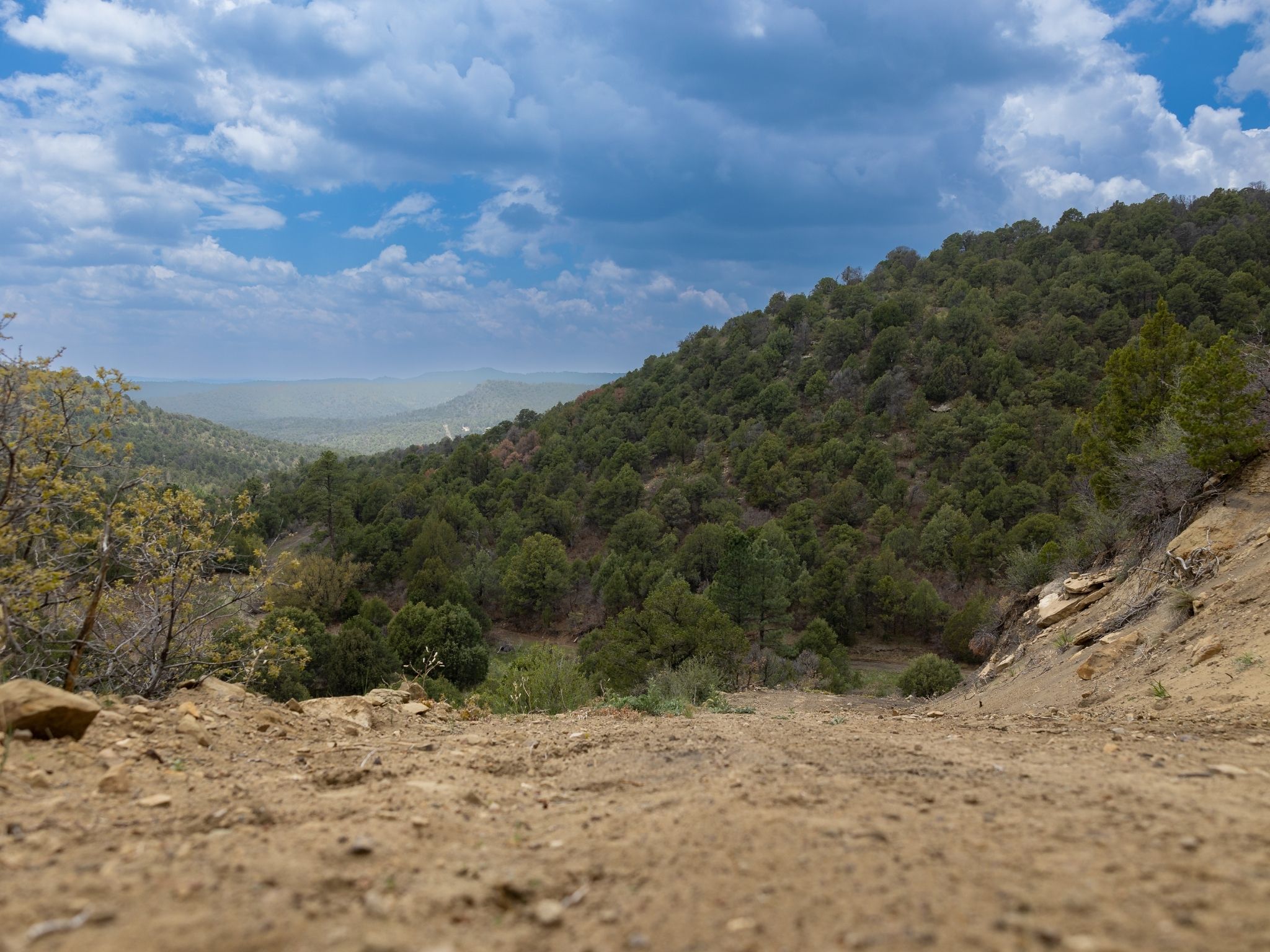
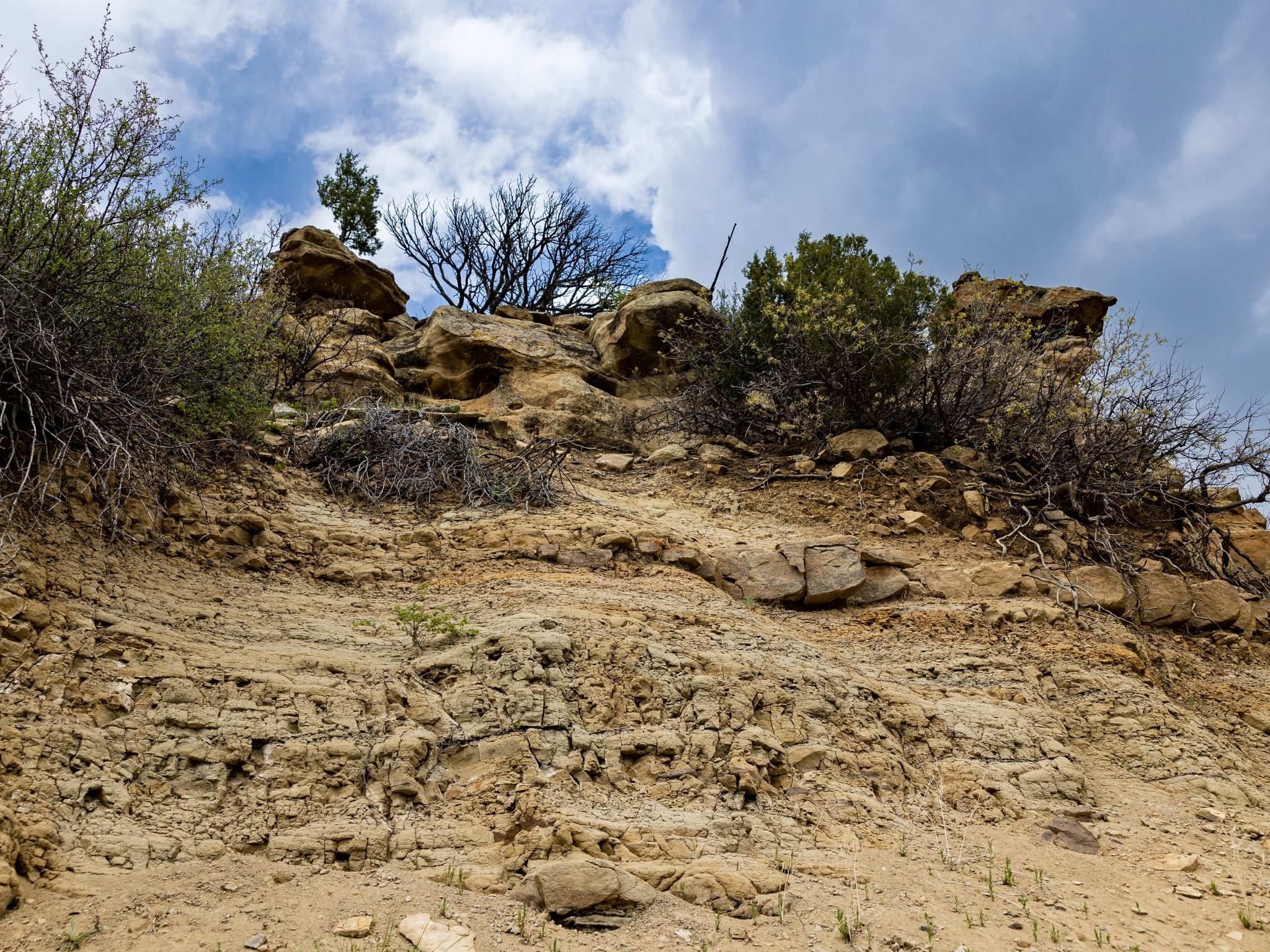
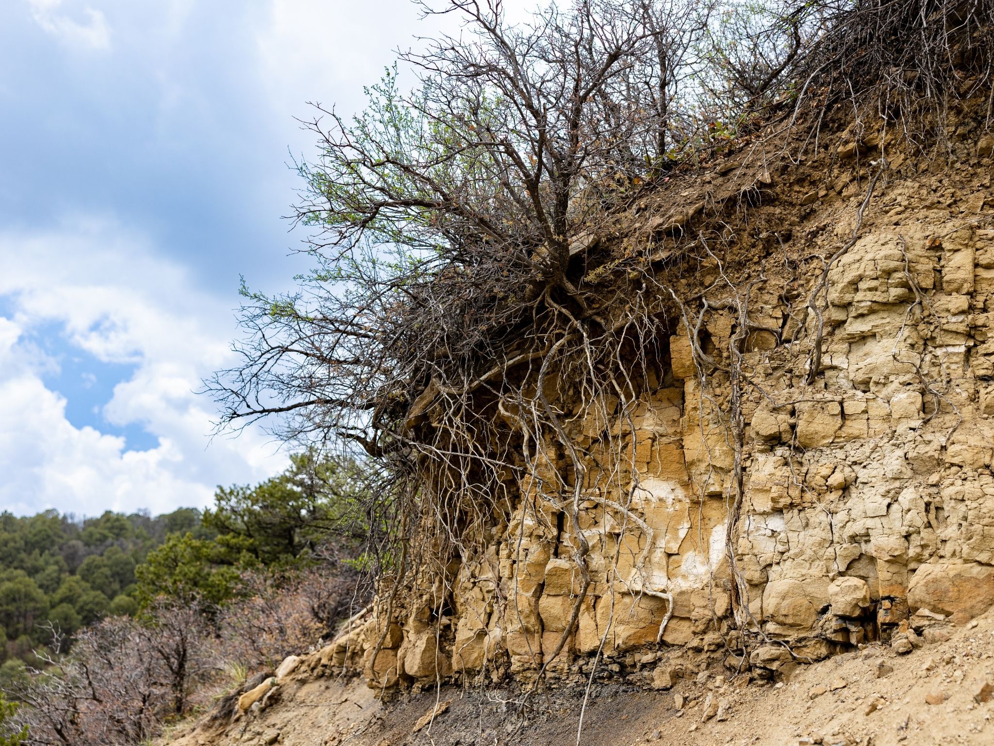
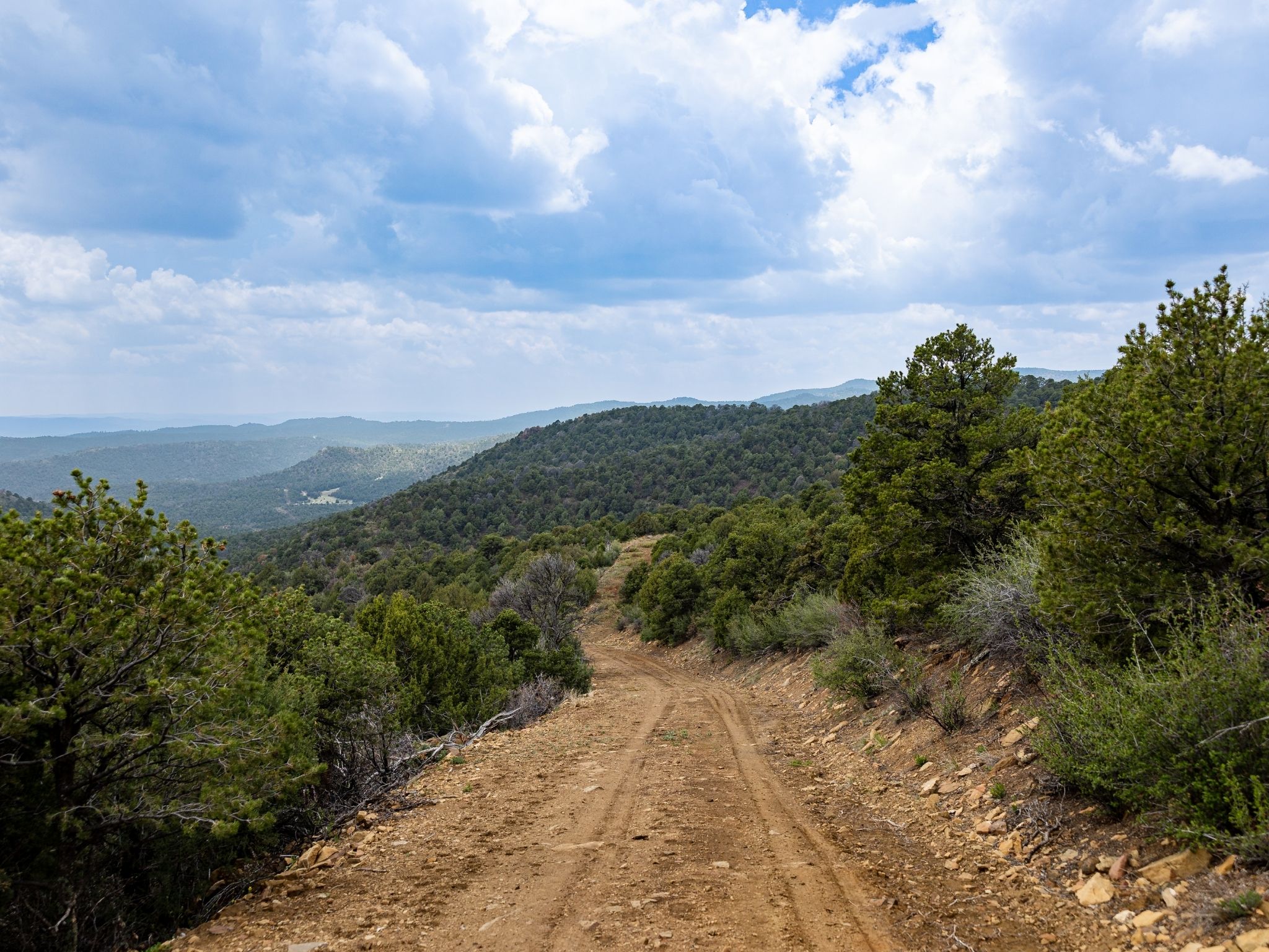
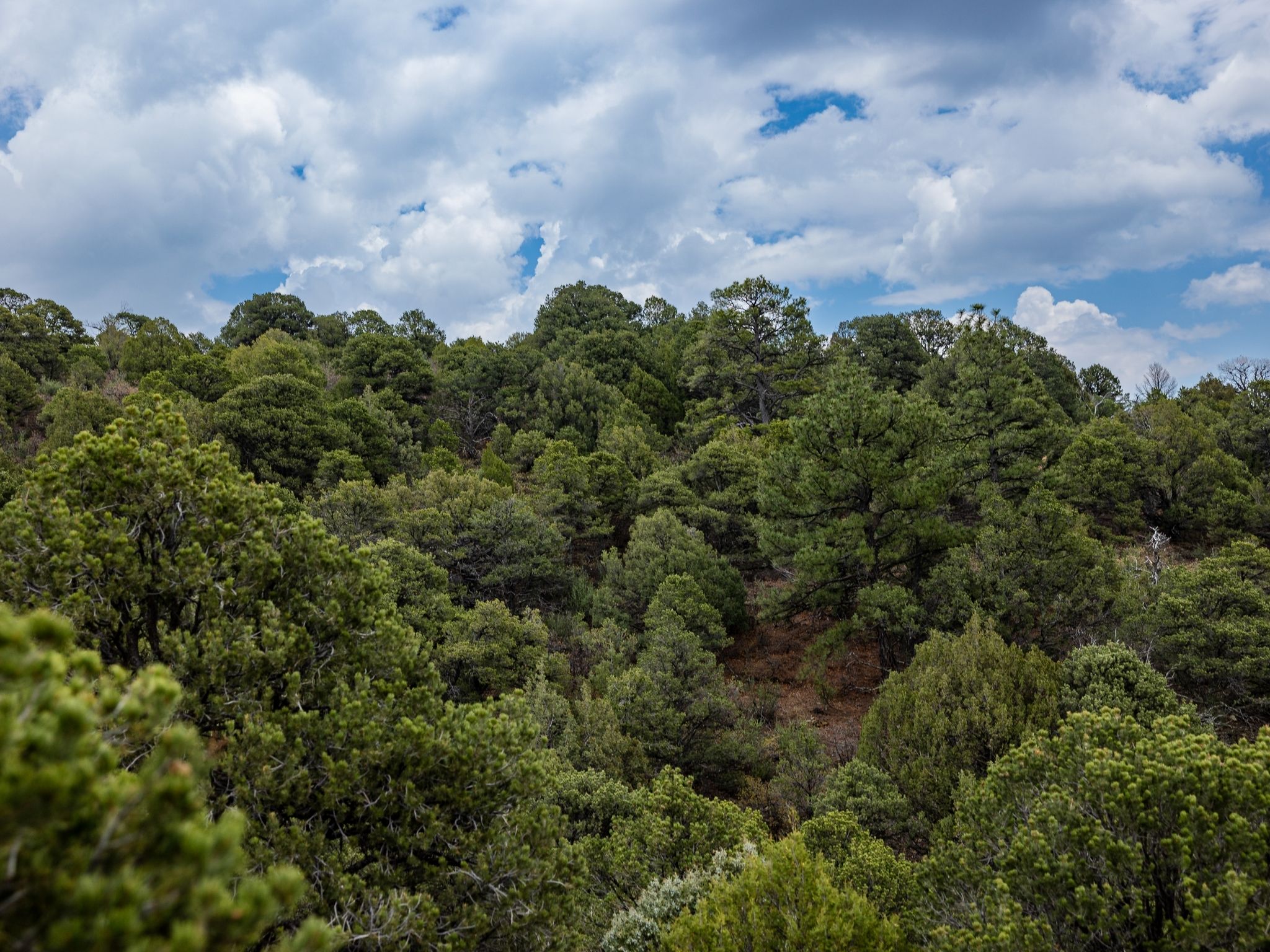
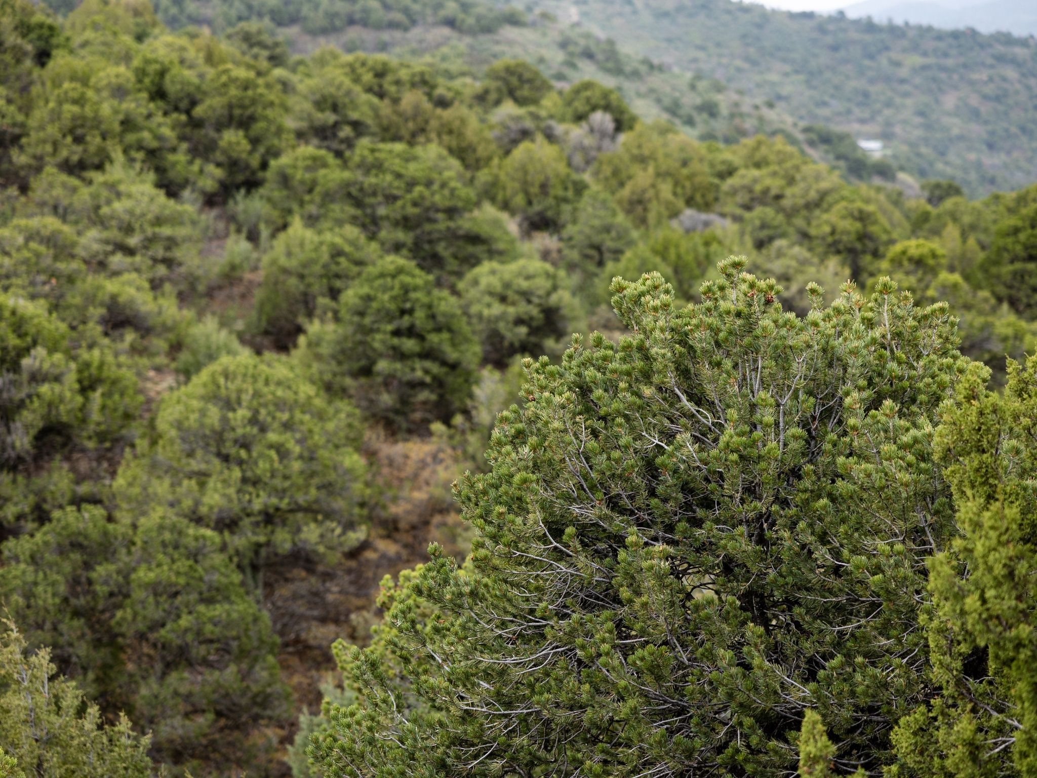
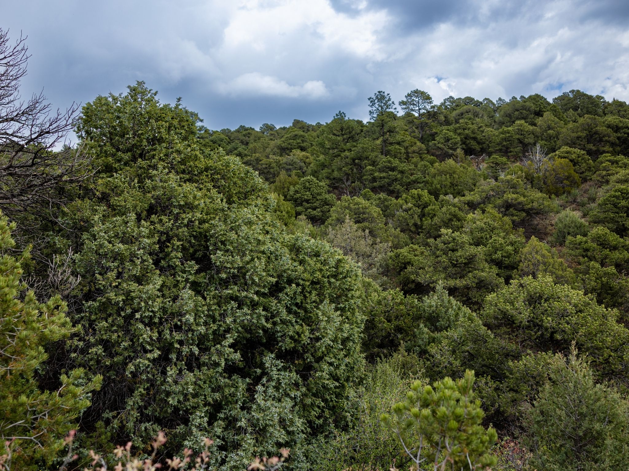
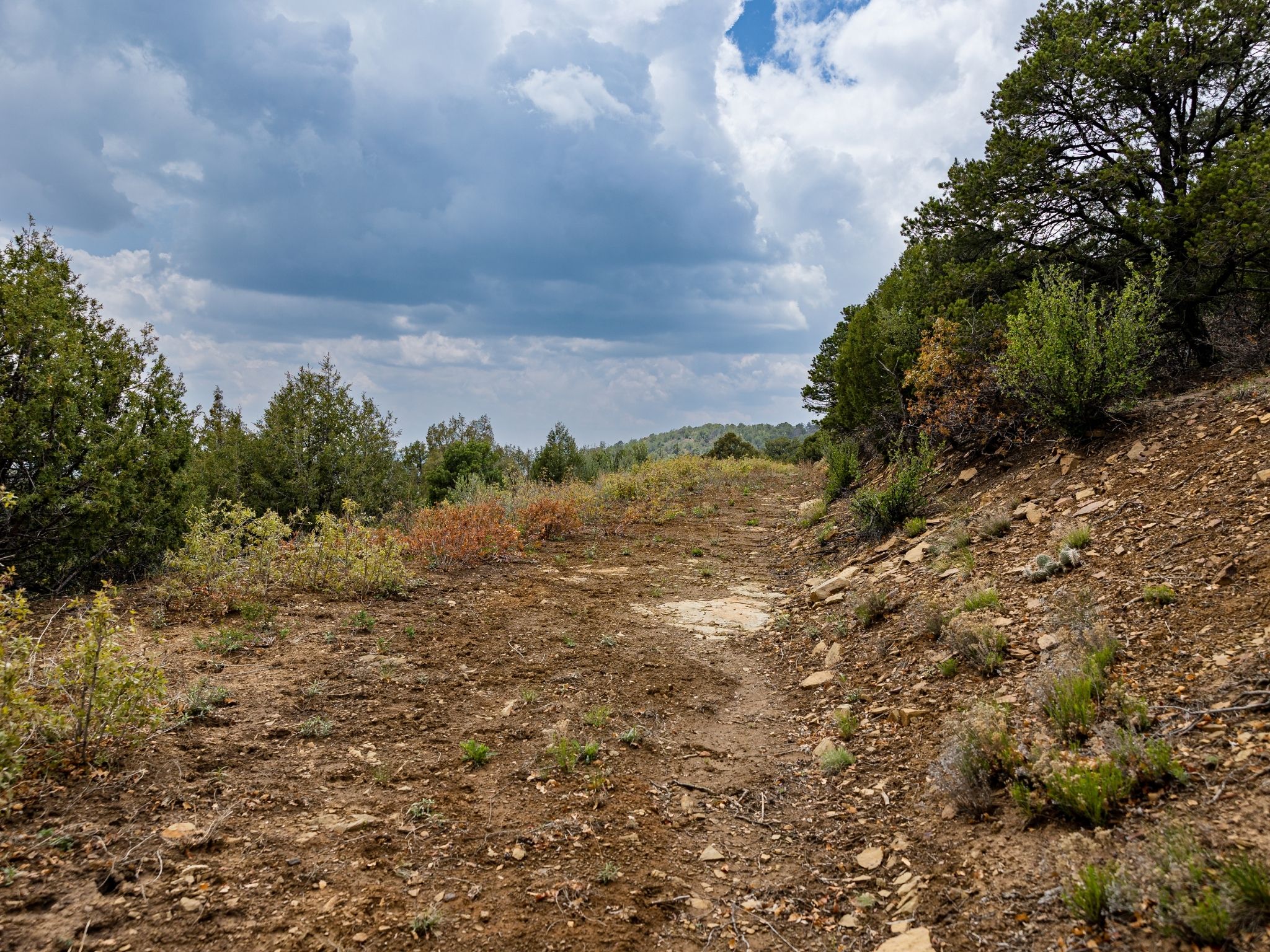
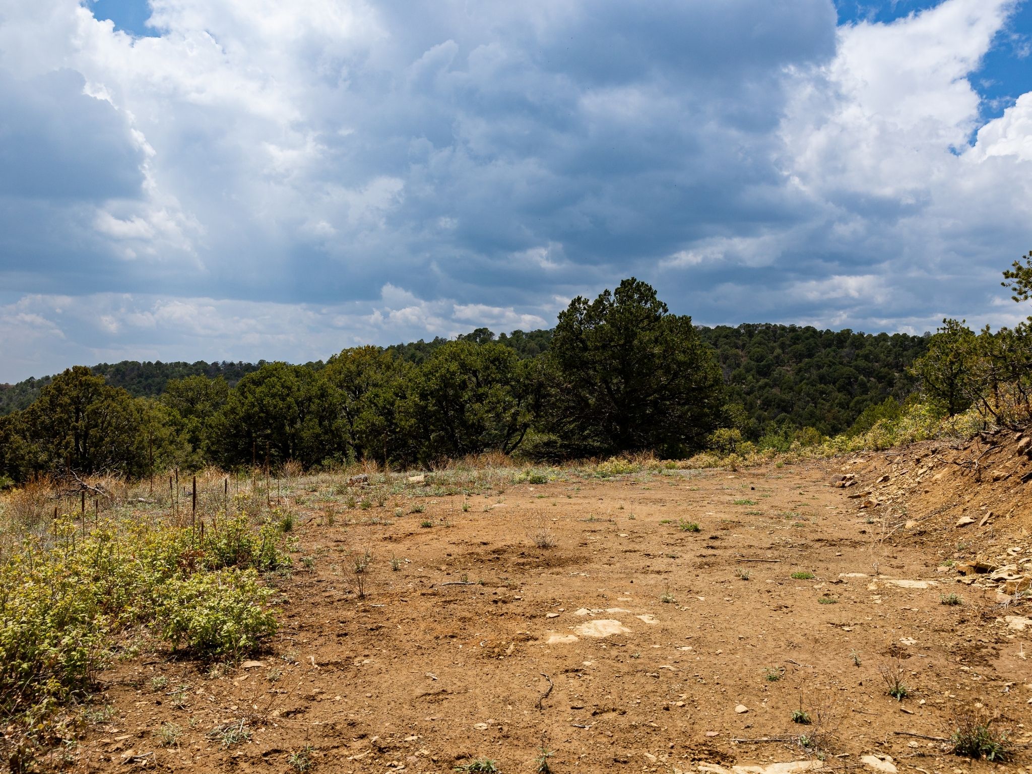
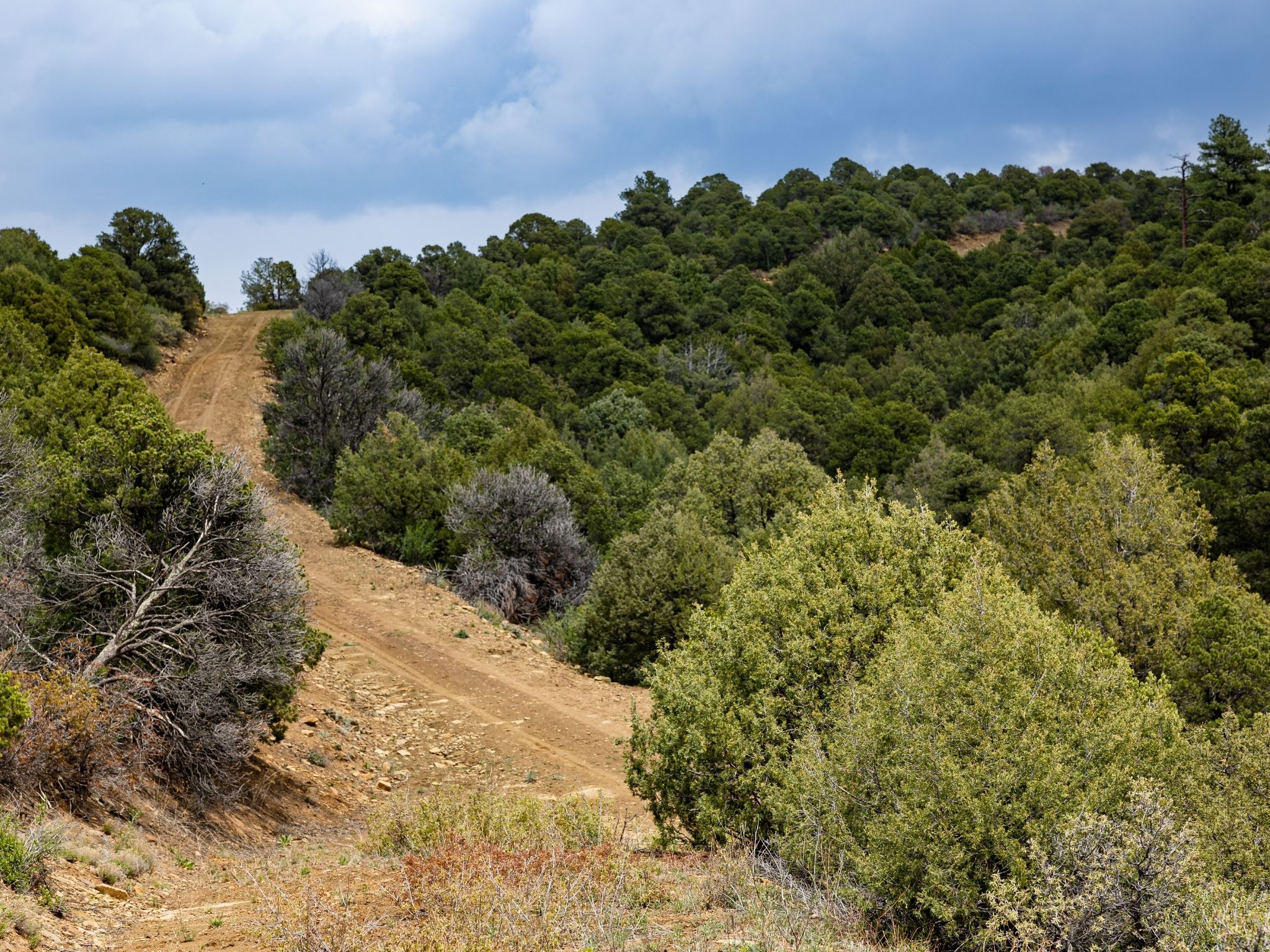
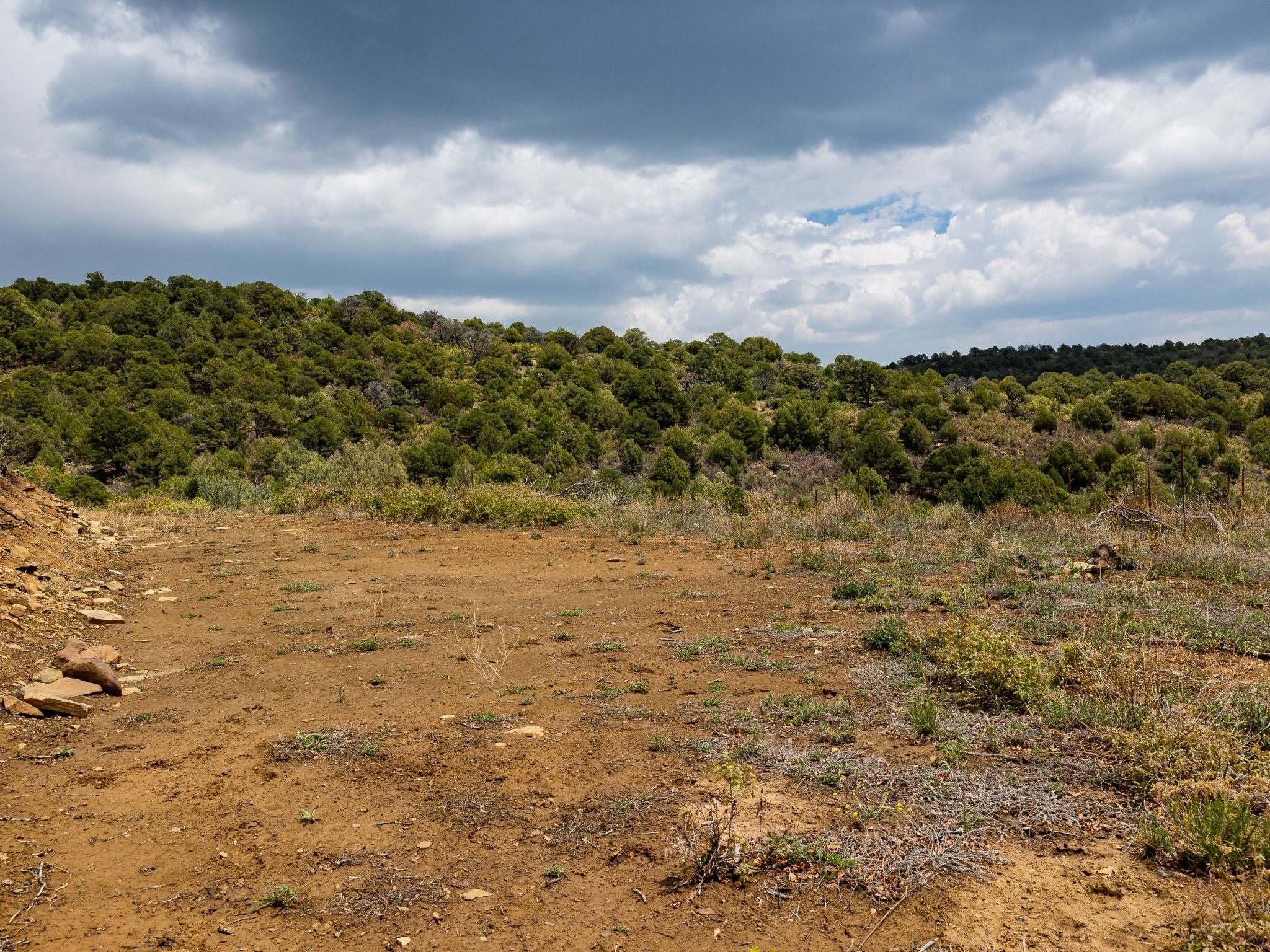
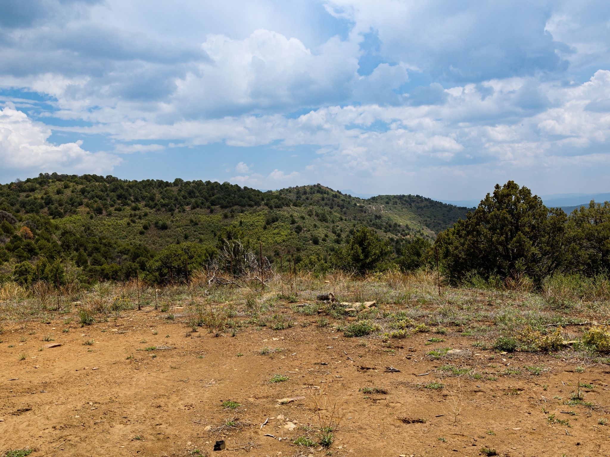
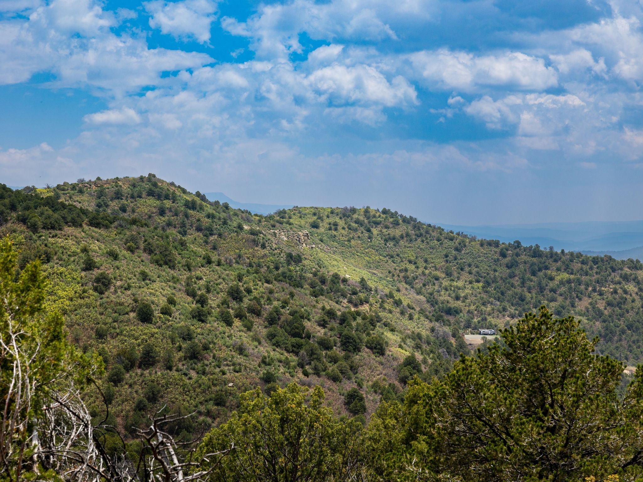
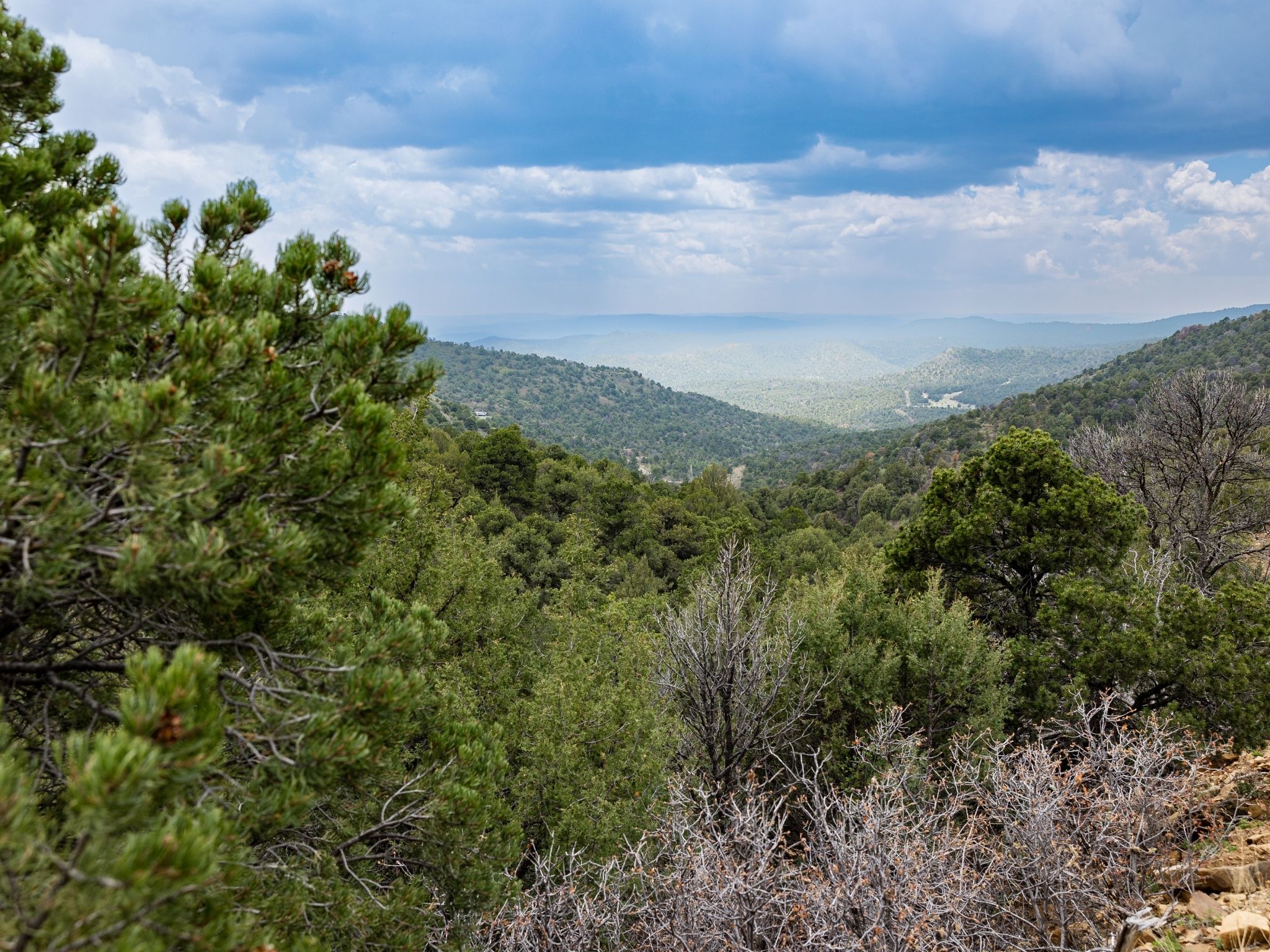
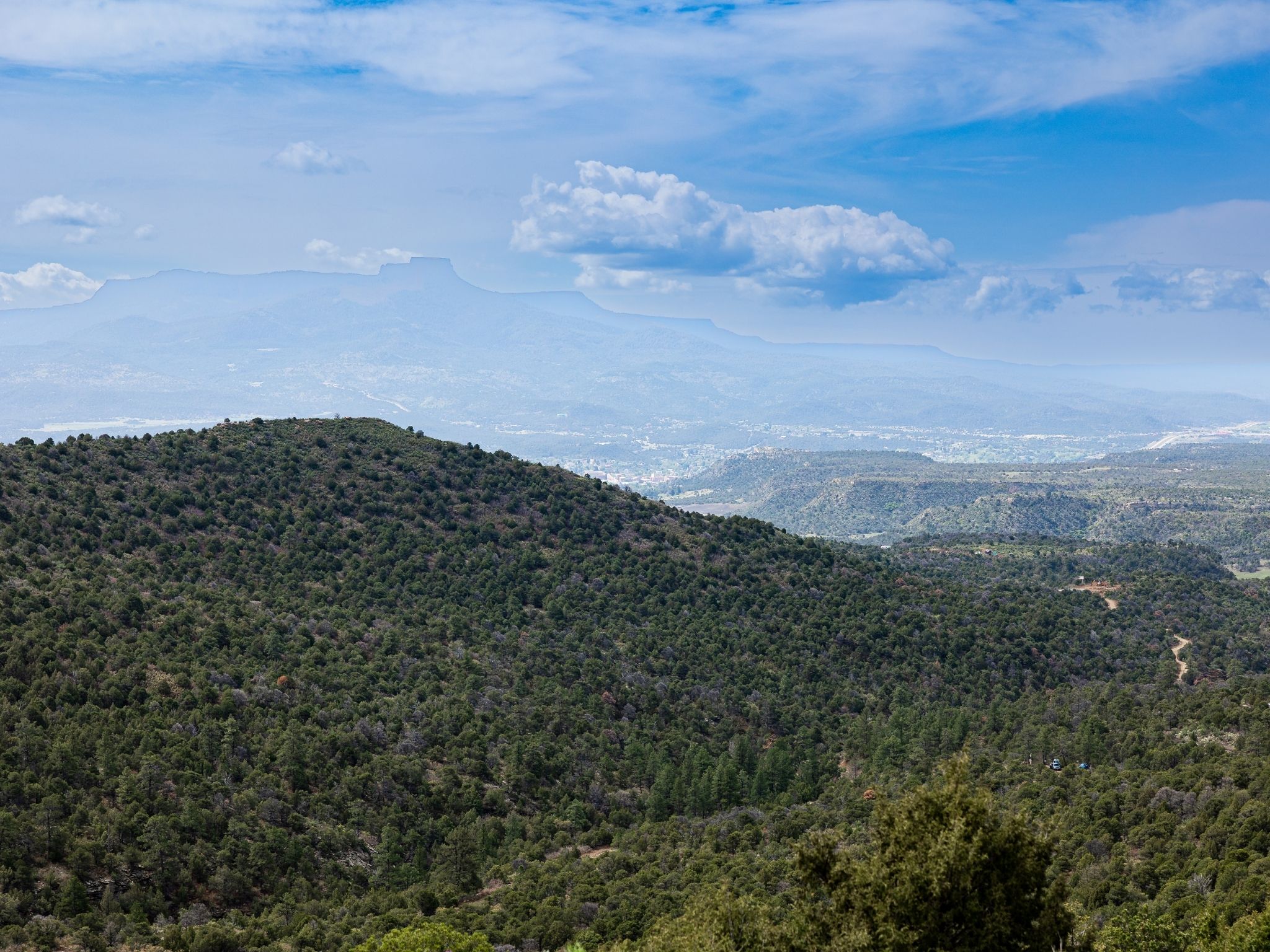
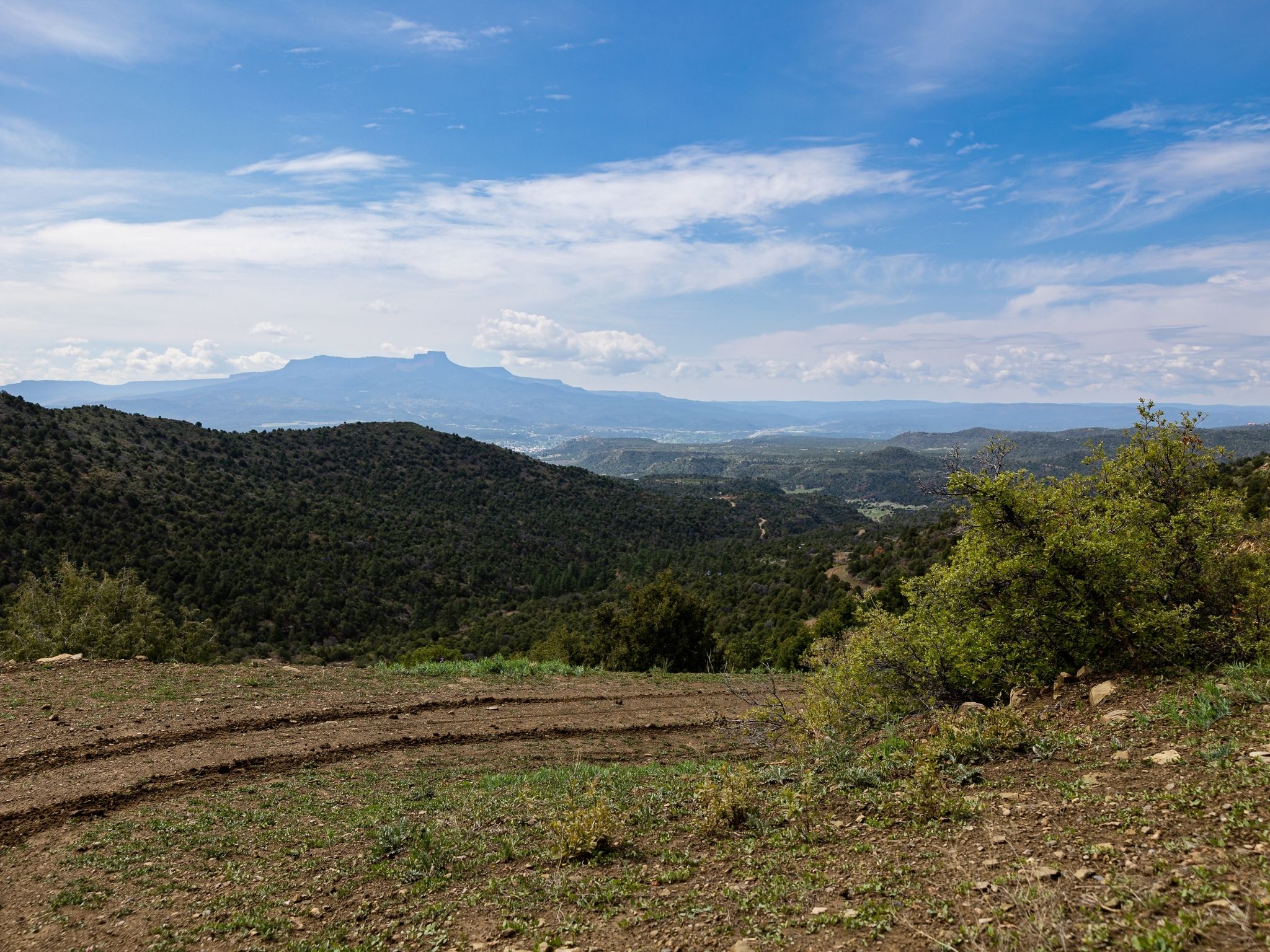
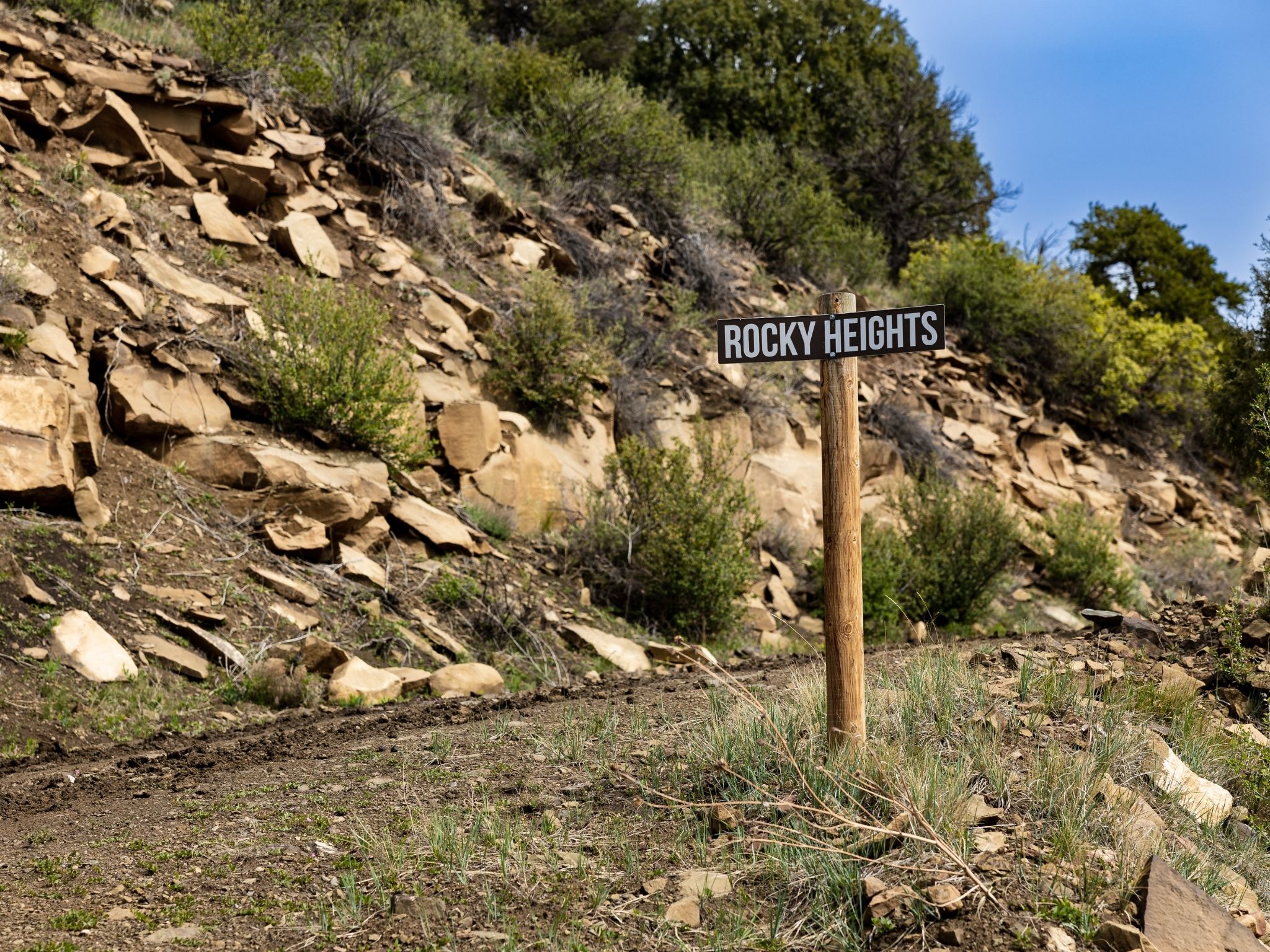
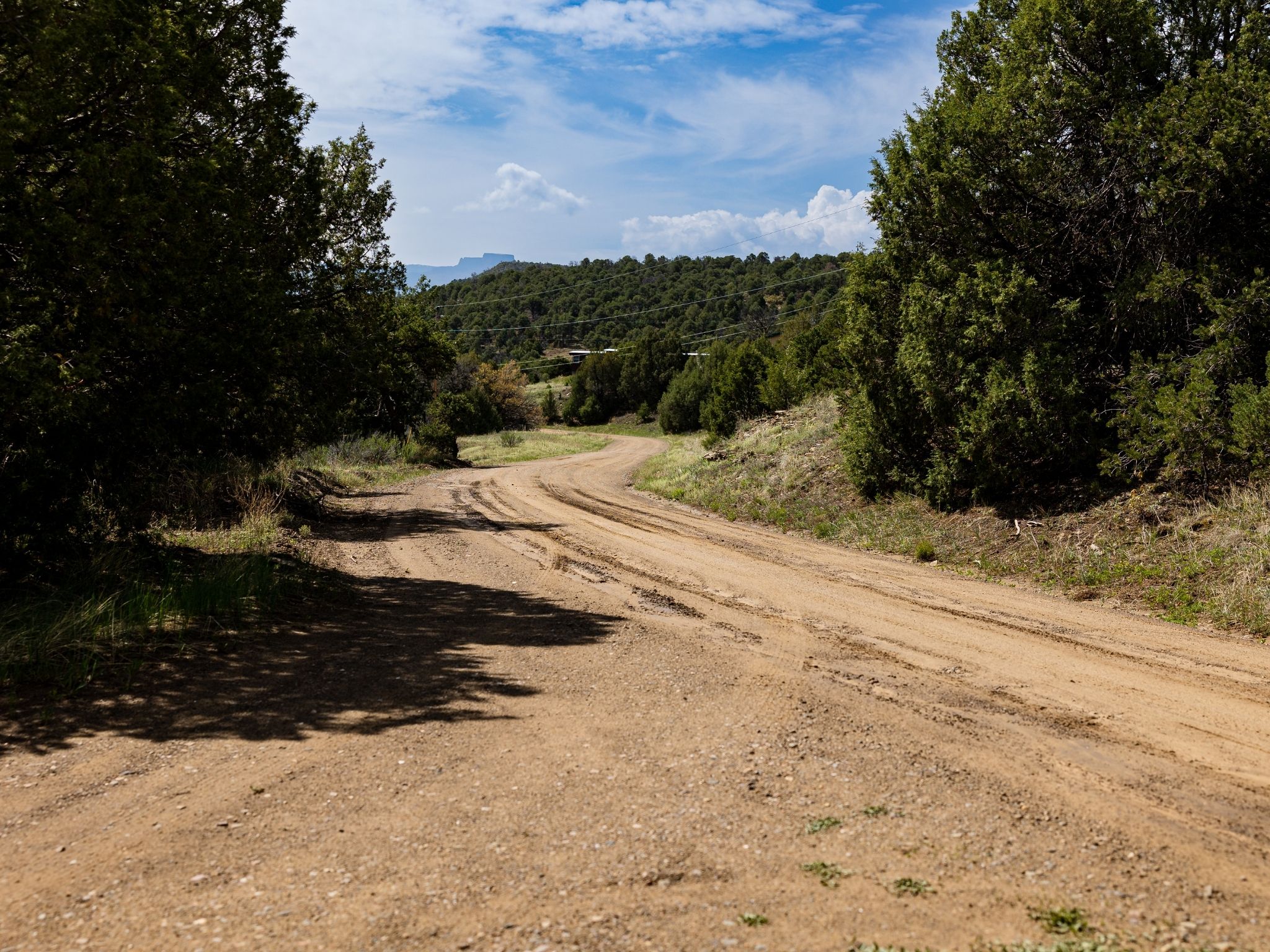
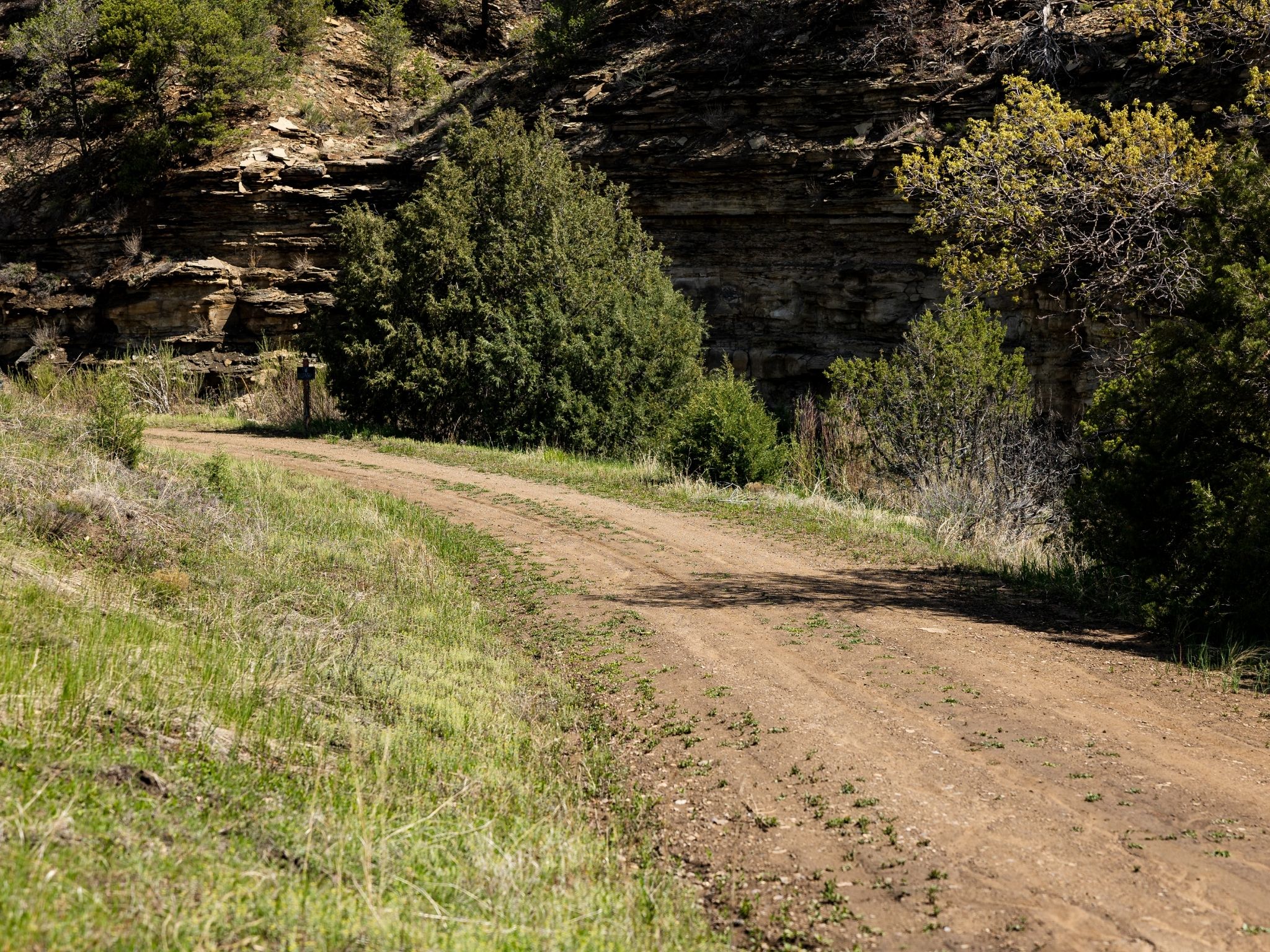
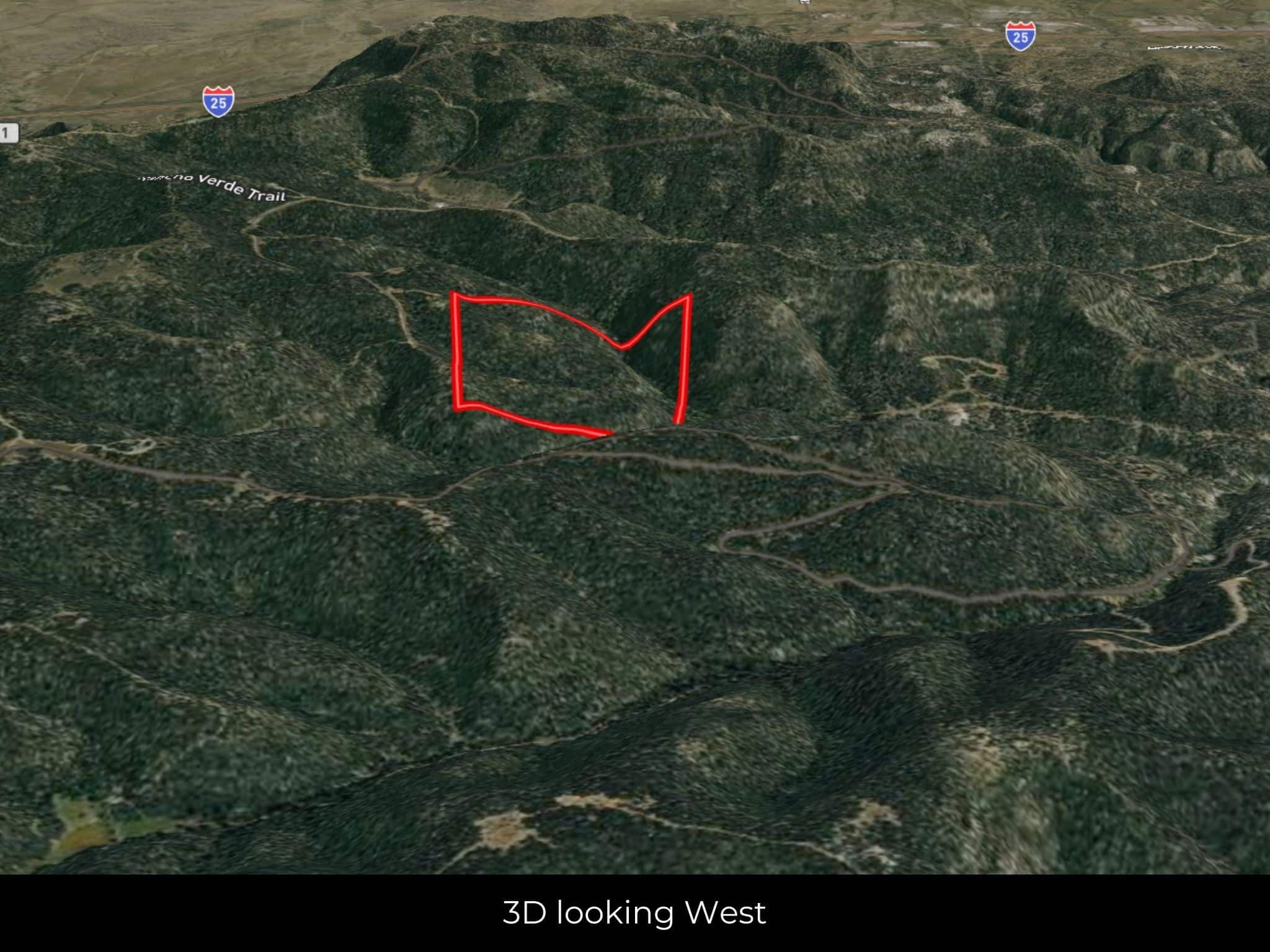
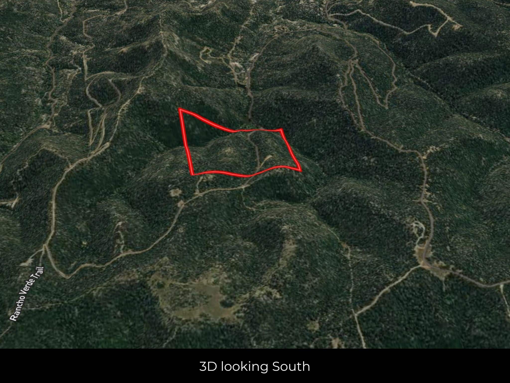
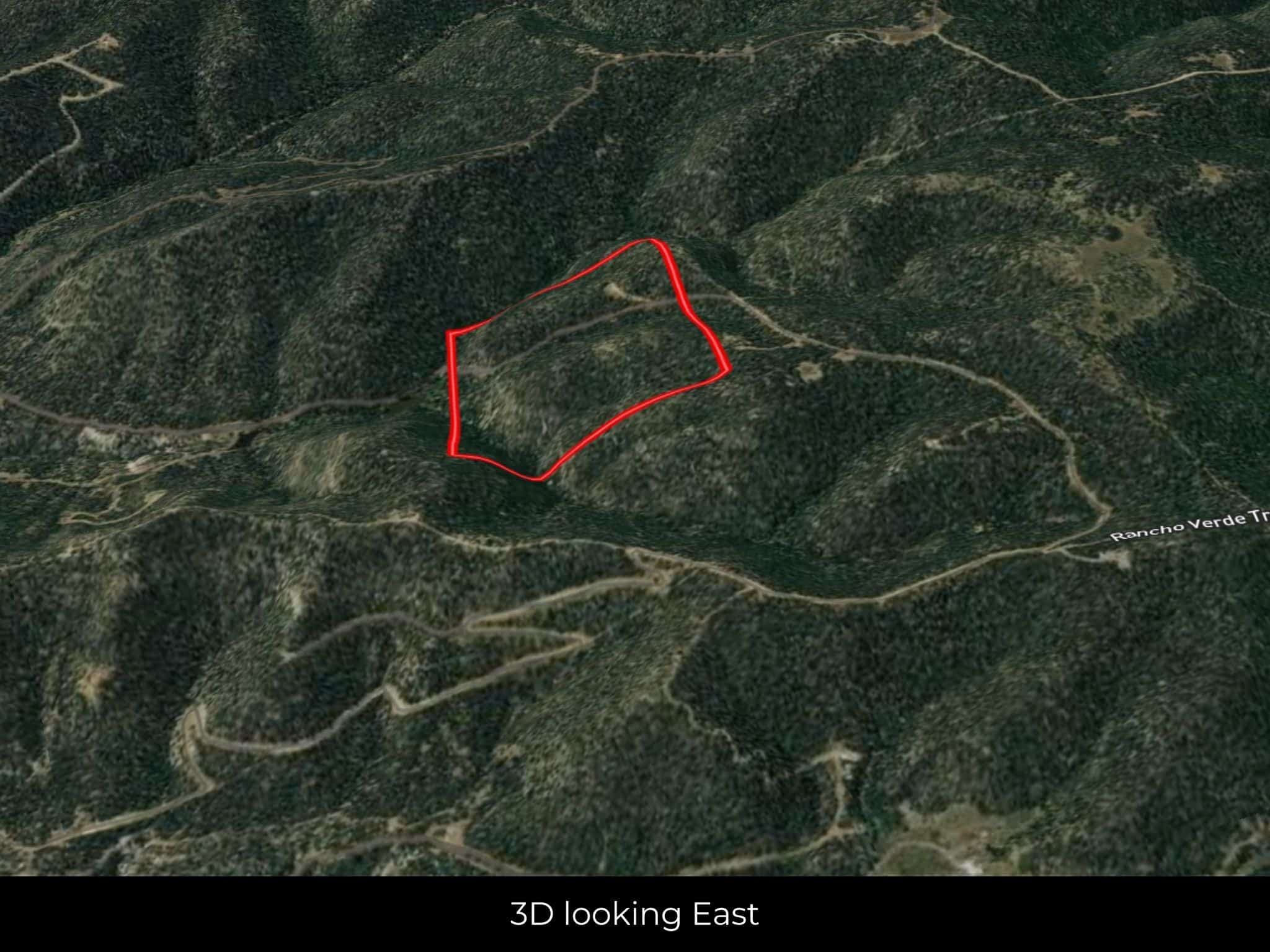
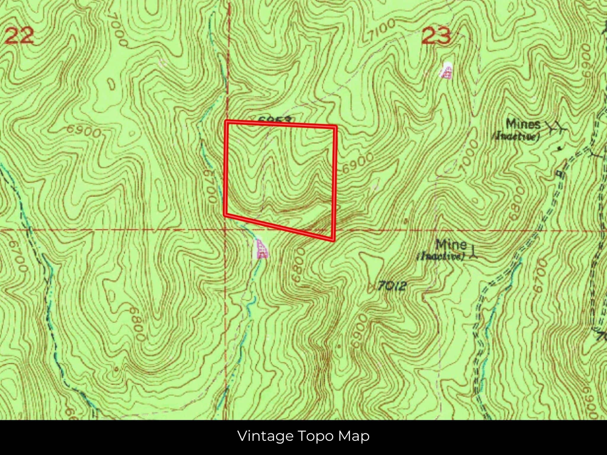
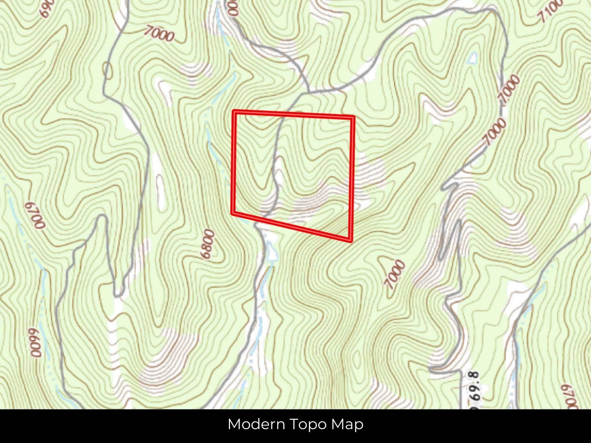
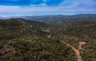
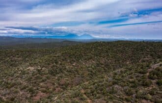
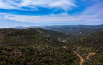
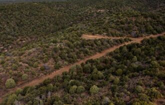
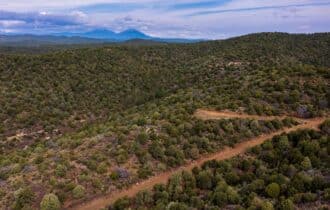
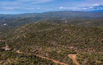
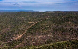
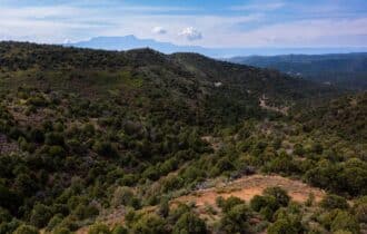
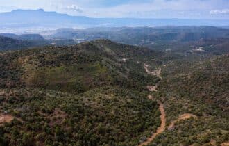
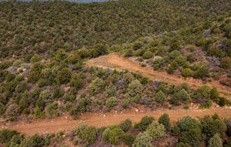
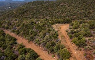
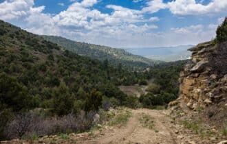
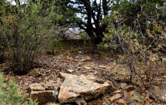
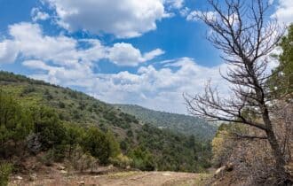
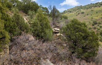
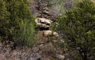
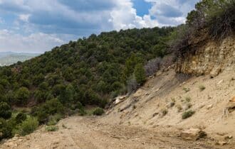
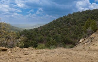
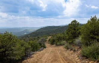
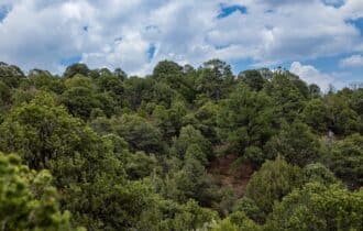
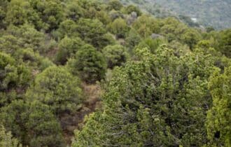
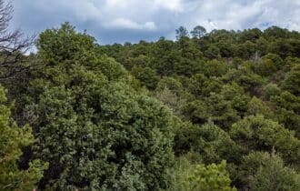
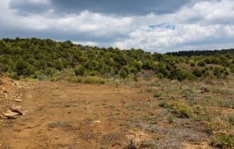
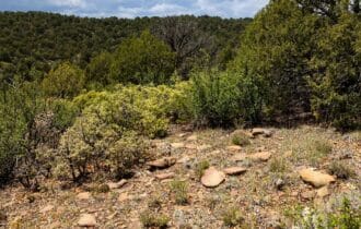
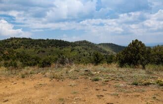
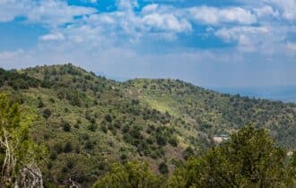
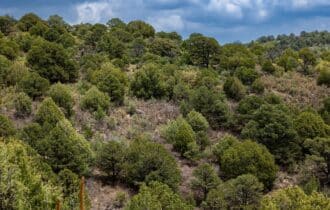
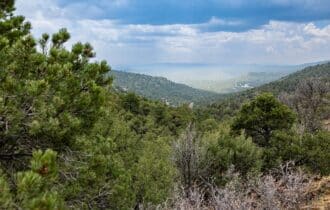
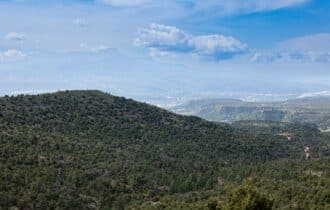
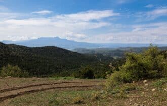
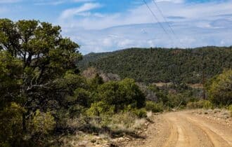
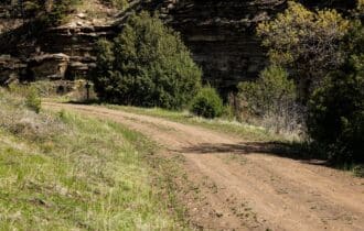
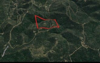
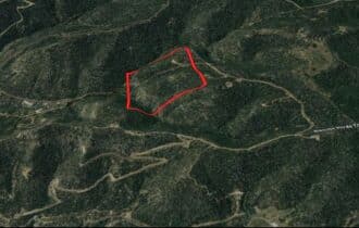
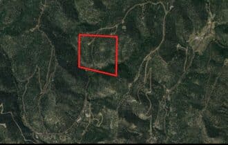
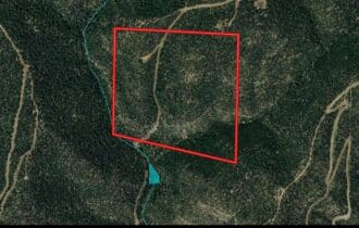
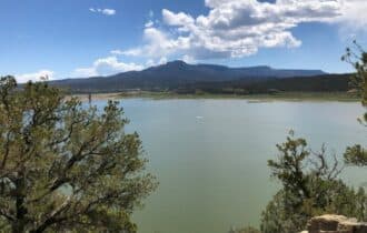
Why settle for owning just one mountain peak when you can own two? This 41.04-acre lot in
Fishers Peak Ranch is just seven miles from Trinidad, but you will feel like you are in the middle
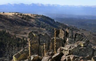
of nowhere, far from civilization. With two peaks to choose from you can have the best views of
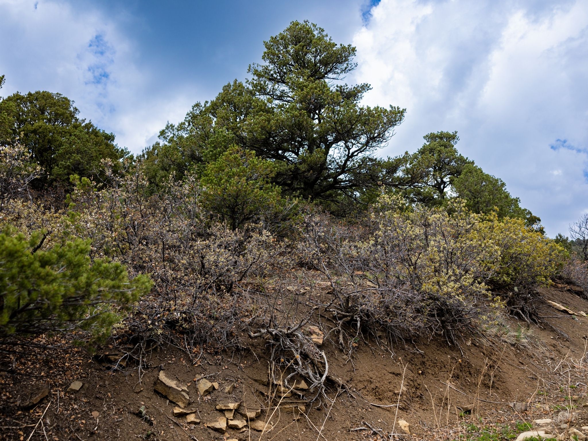
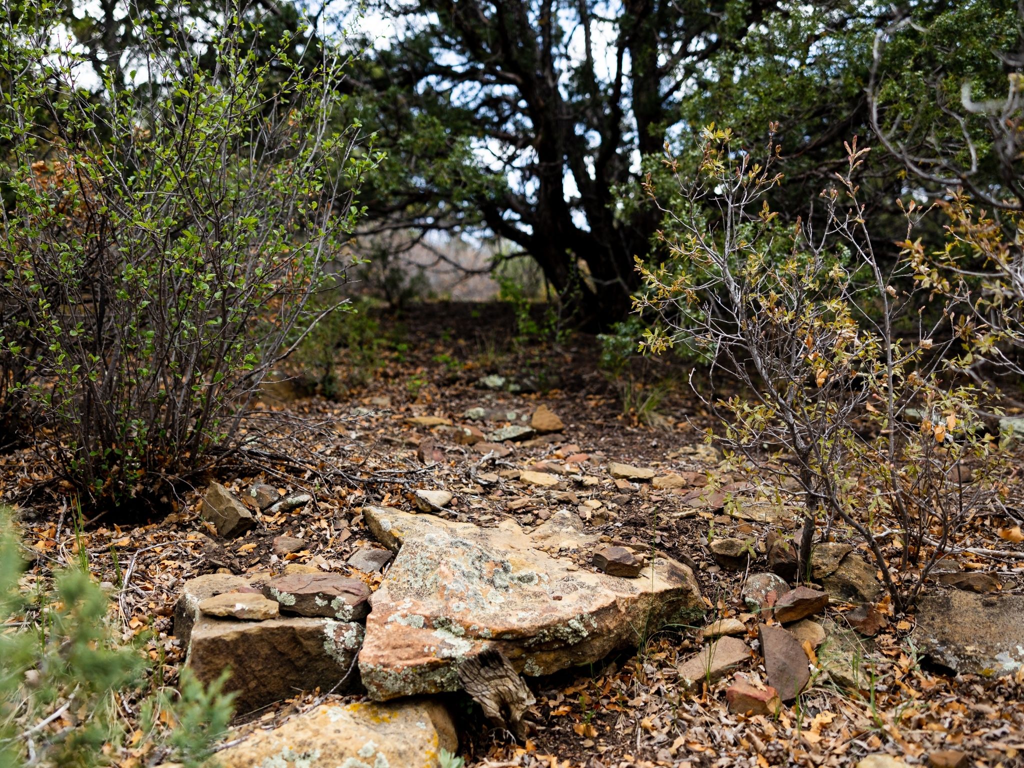
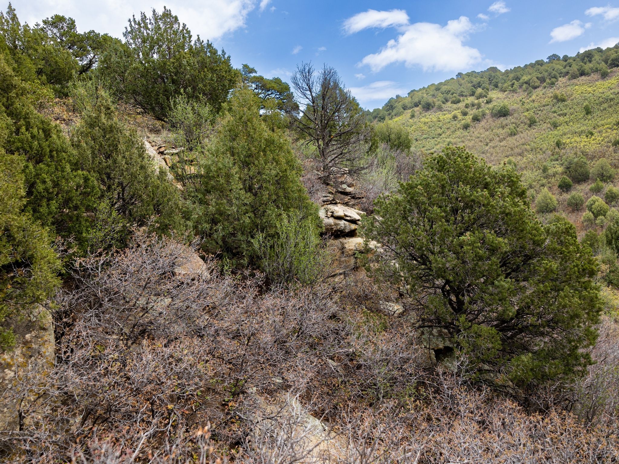
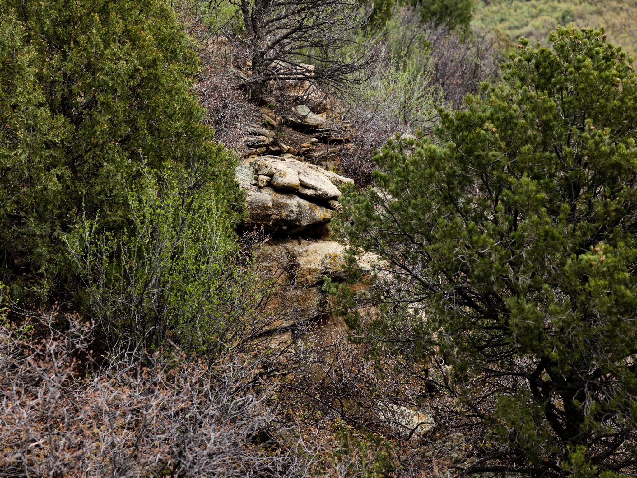
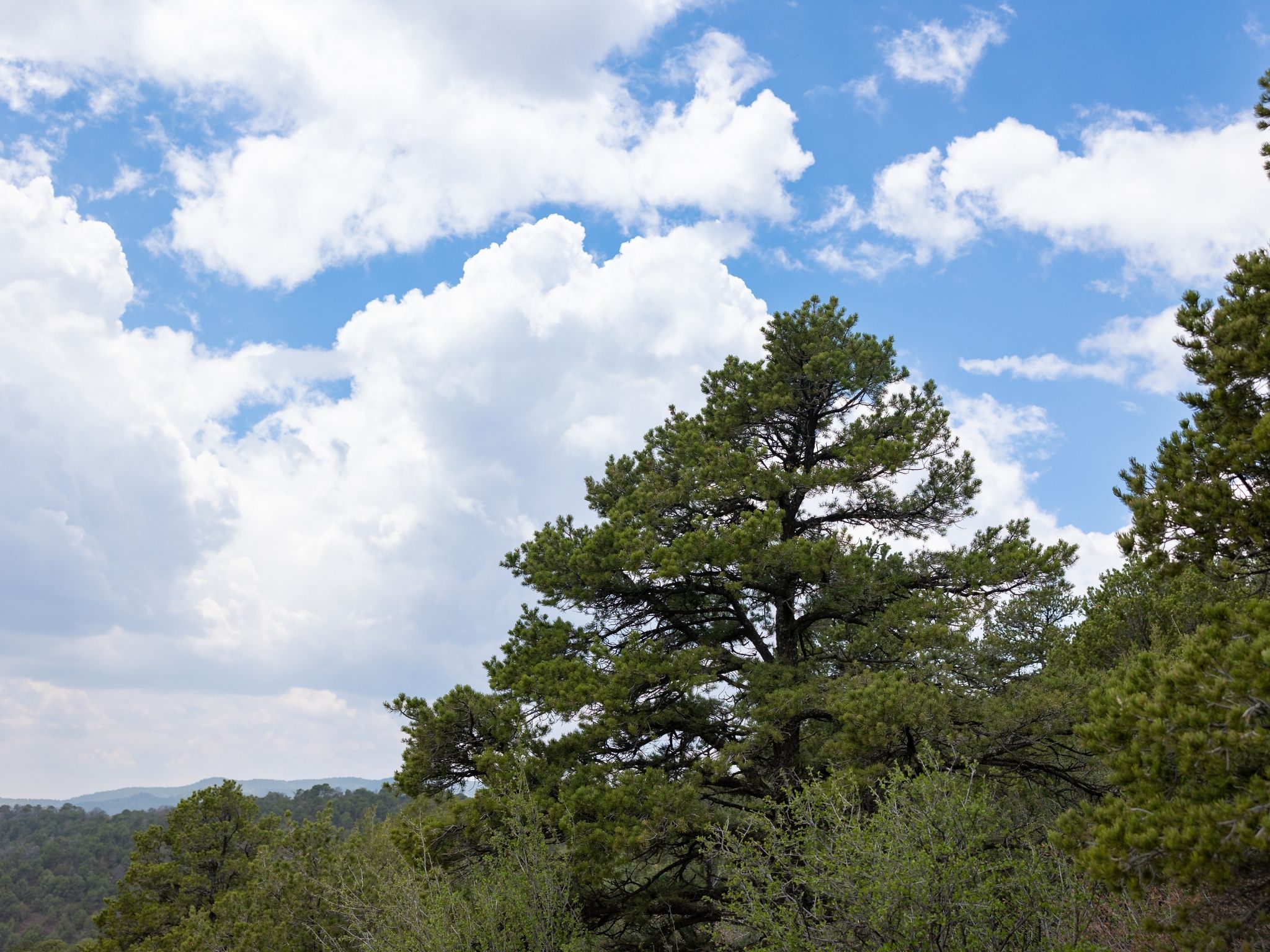
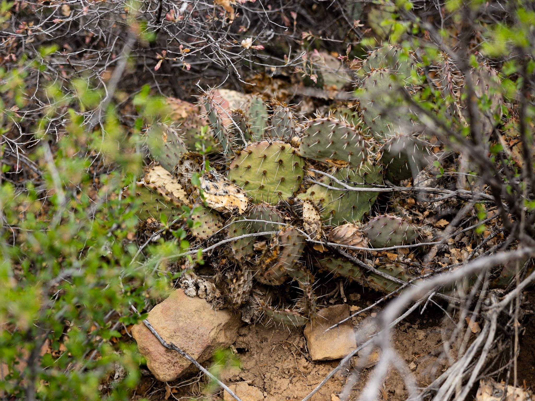
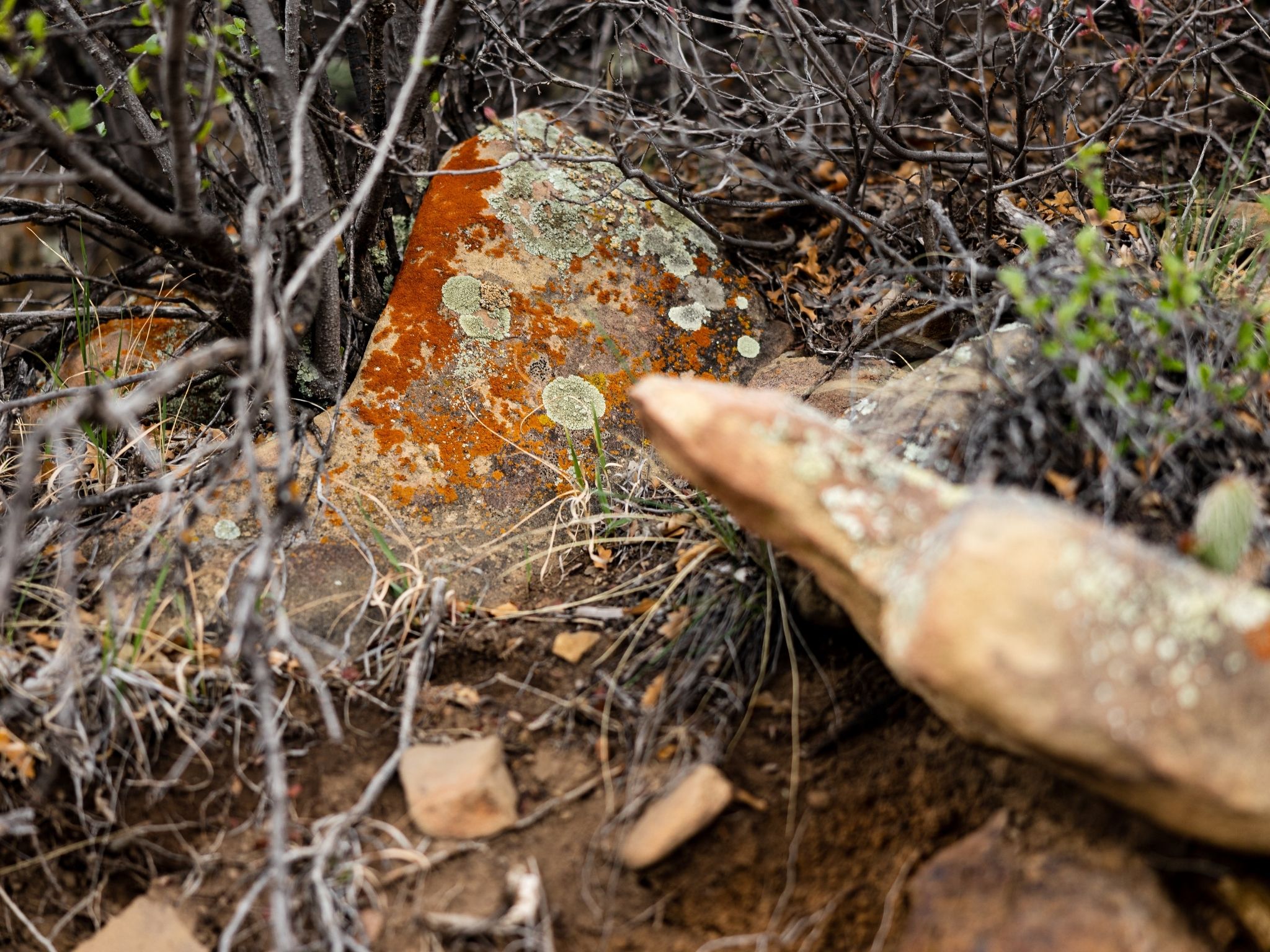
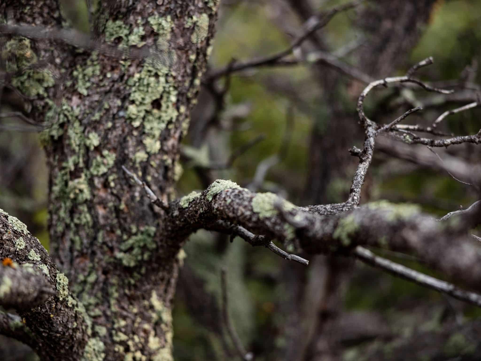
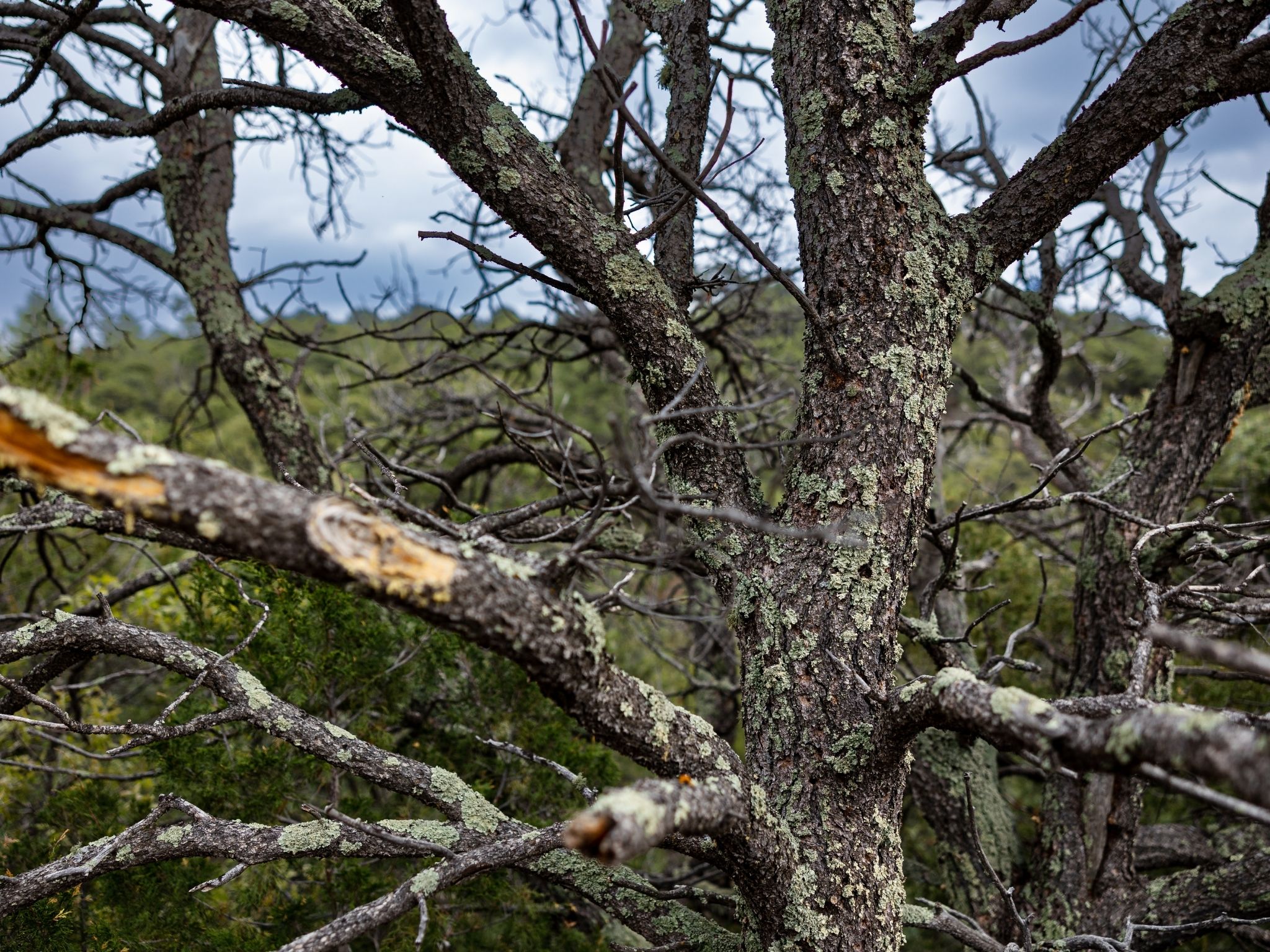
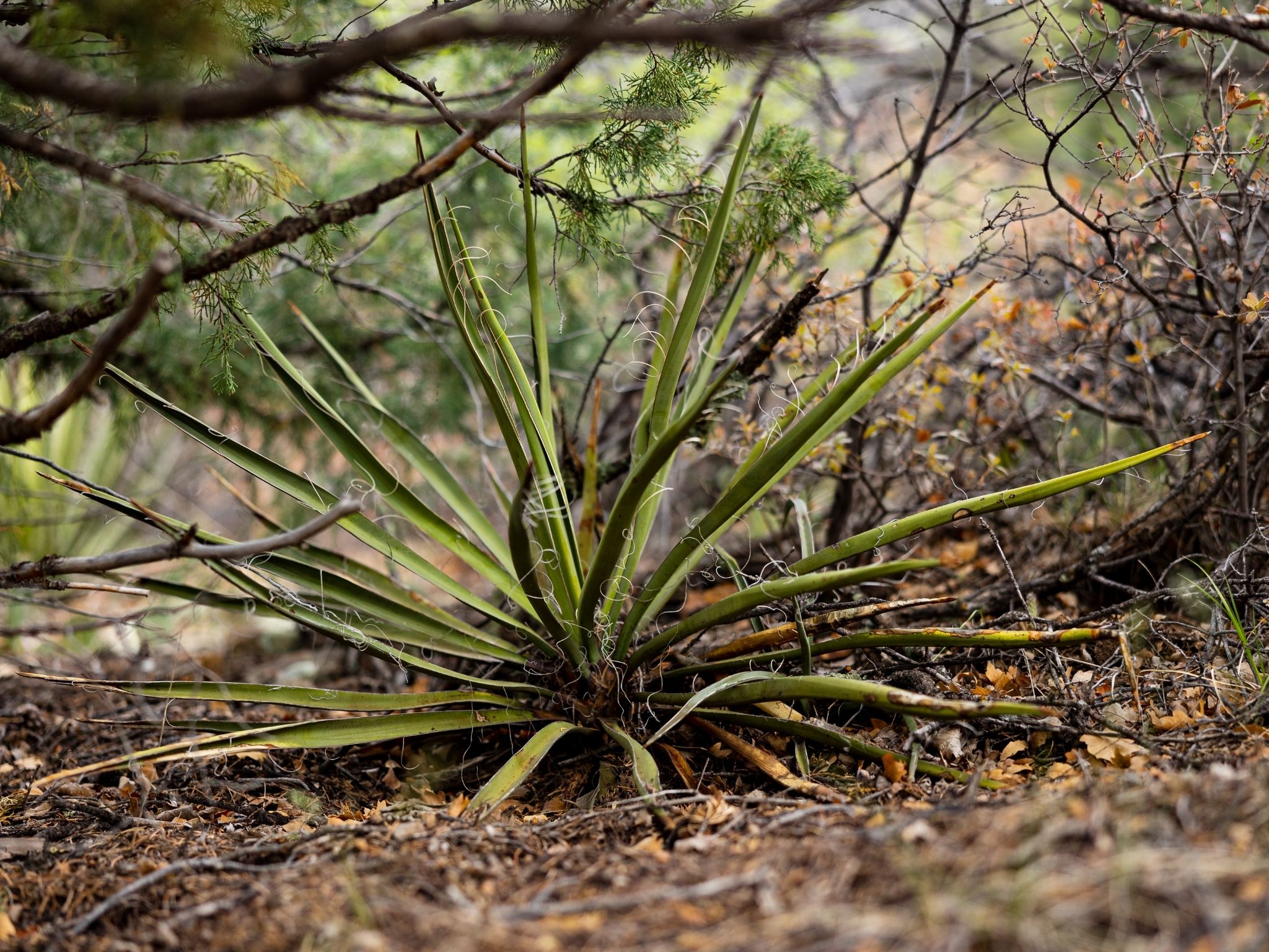
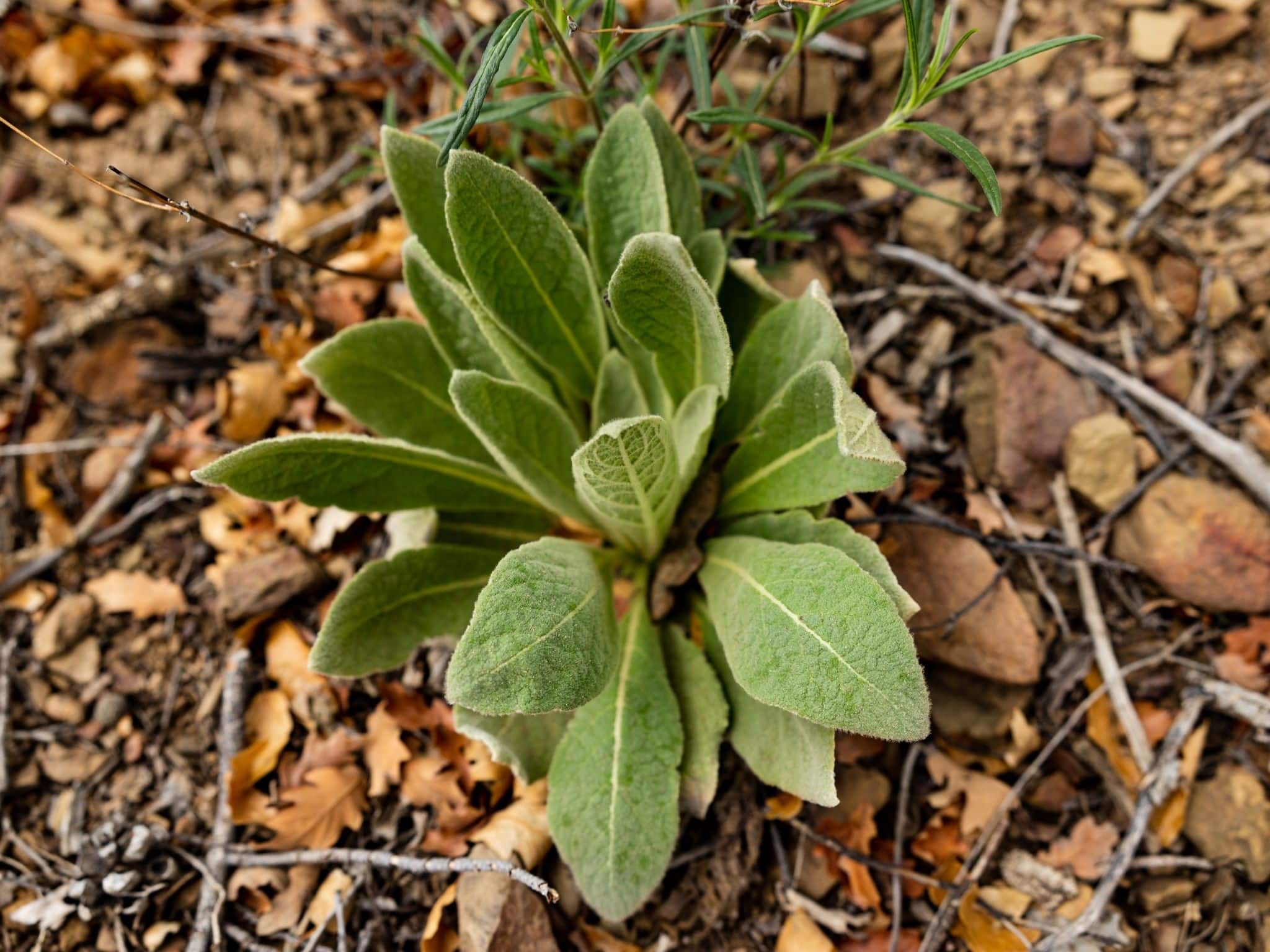
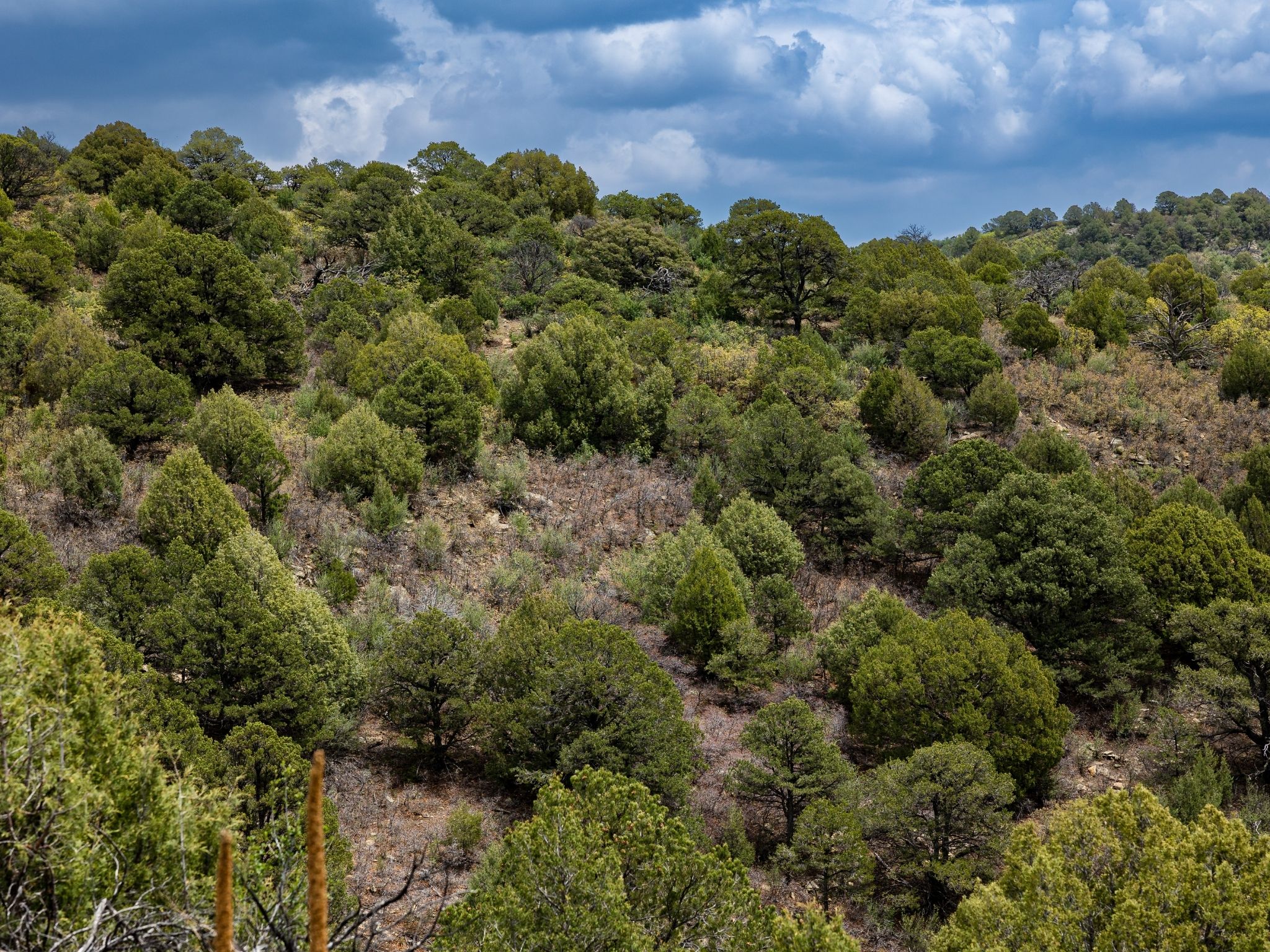
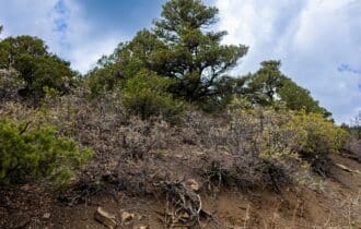
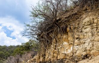
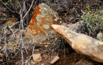
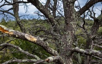
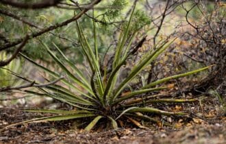
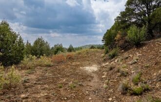
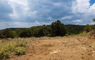
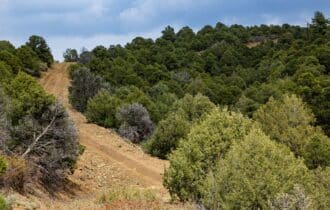
the Sangre de Cristo Mountains and the nearby Purgatorie River Valley. This property is heavily
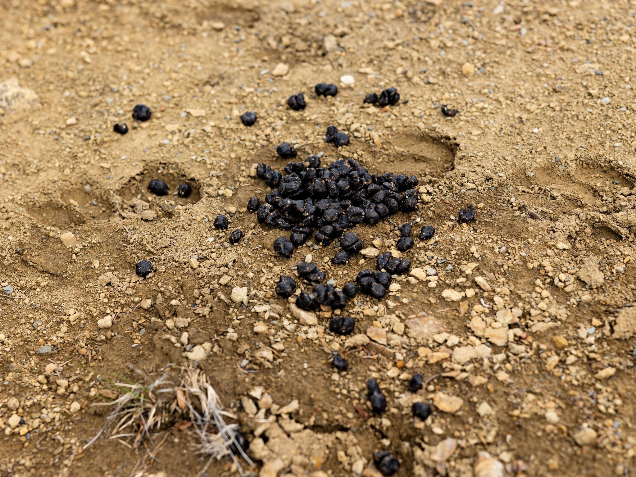
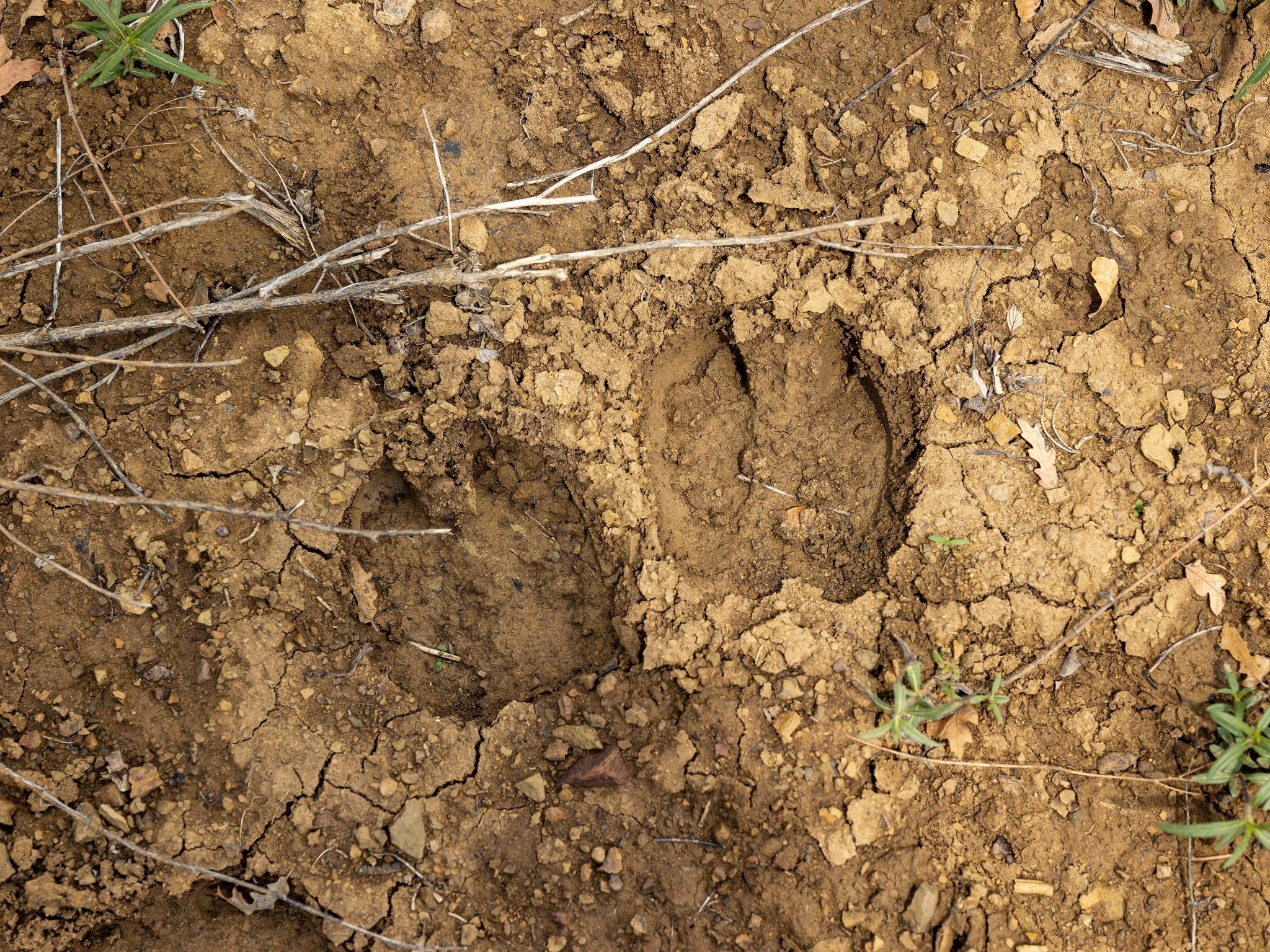
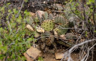
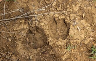
treed, giving you lots of privacy to enjoy your land your way and attracting the best wildlife in
the area to your front door. Listen to birds singing in the morning and elk bugling at sunset rather
than the sounds of the city. Take a trip to this little piece of paradise, and it is ready for you to
make it your own.
Trinidad is a charming, historic town in far southern Colorado just a few miles north of the New
Mexico border. Despite its small size (population 8,335), it has a charming, historic downtown
and plenty of entertainment options. The Trinidad History Museum includes several historic
homes, gardens, and other exhibits that cover an entire block. End your tour with a ride on the
trolley for a unique perspective of the town. In the summer, spend a pleasant day at Trinidad
Lake State Park fishing, boating, or just dipping your toes in the water. If you prefer land-based
outdoor recreation, bring your hiking boots and take the two-mile trail to Simpson’s Rest, located
at the top of a sandstone bluff.
This 41.04-acre lot is the perfect mountain hideaway, but at this competitive price it will not last
long. Contact me today for more information.
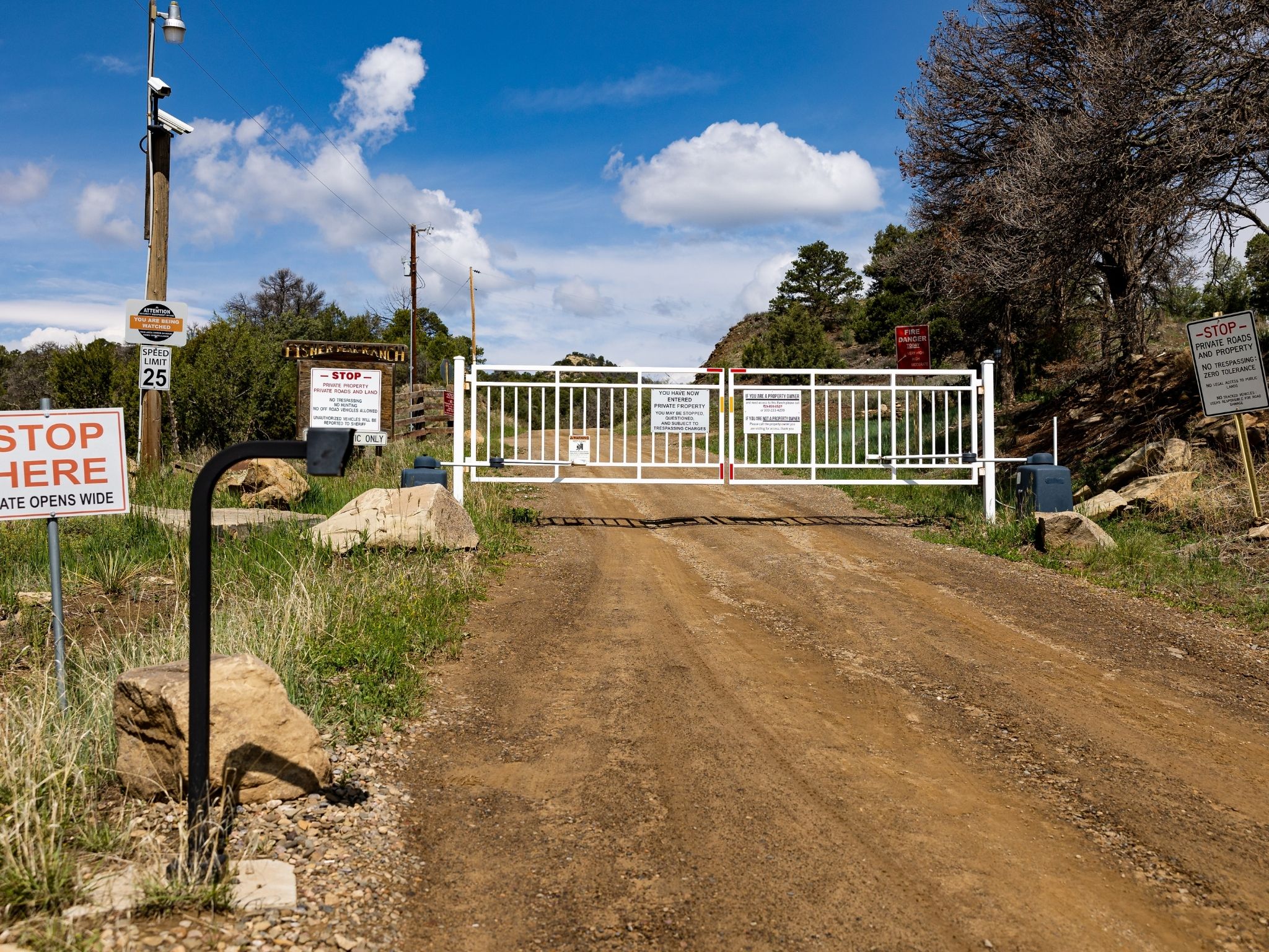
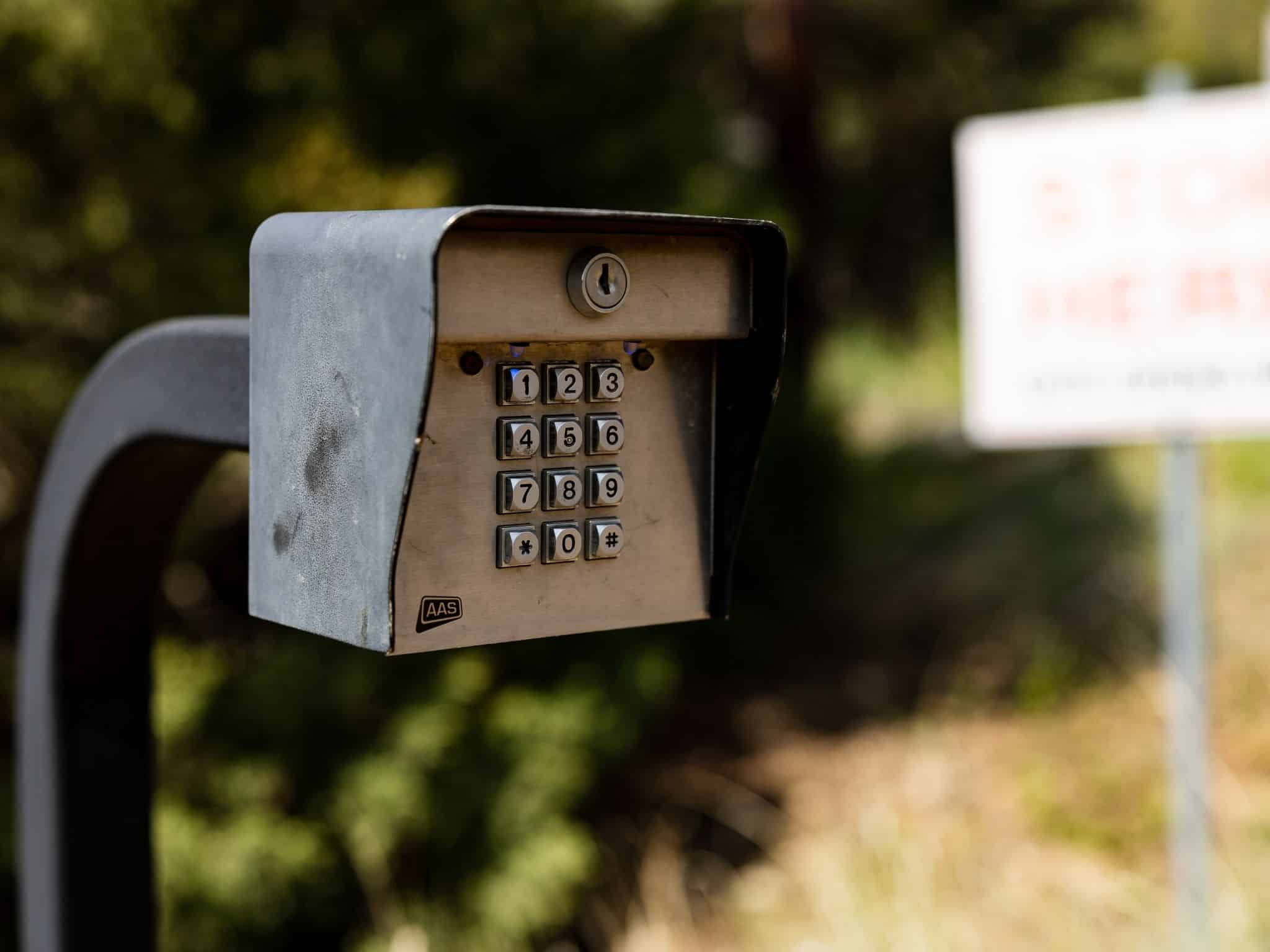
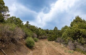
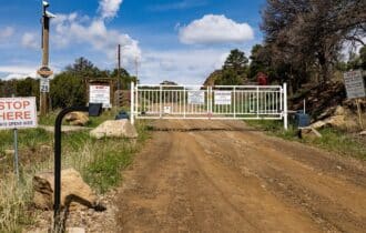
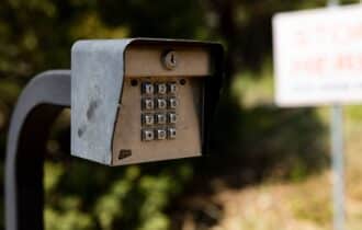
**PLEASE CONTACT OUR OFFICE FOR GATE CODE TO ACCESS PROPERTY**
Property Video
Visiting the Property
You are welcome to visit the property at your convenience and anytime while it's still available. However, we HIGHLY recommend checking-in with us prior to visiting the property in case the property has gone under contract or already sold.
The interactive map above is generated with MapRight. MapRight has free apps for Apple IOS and Android that can be used to track your location and route throughout a property and provide driving directions.
MapRight for Apple –> Download App.
MapRight for Android –> Download App.
To launch the interactive map on your device, 1) install the free MapRight app using one of the two links above for Apple or Android, and 2) click the “View Full Screen” link (see above) in the embedded map on the property listing page.
Property Information
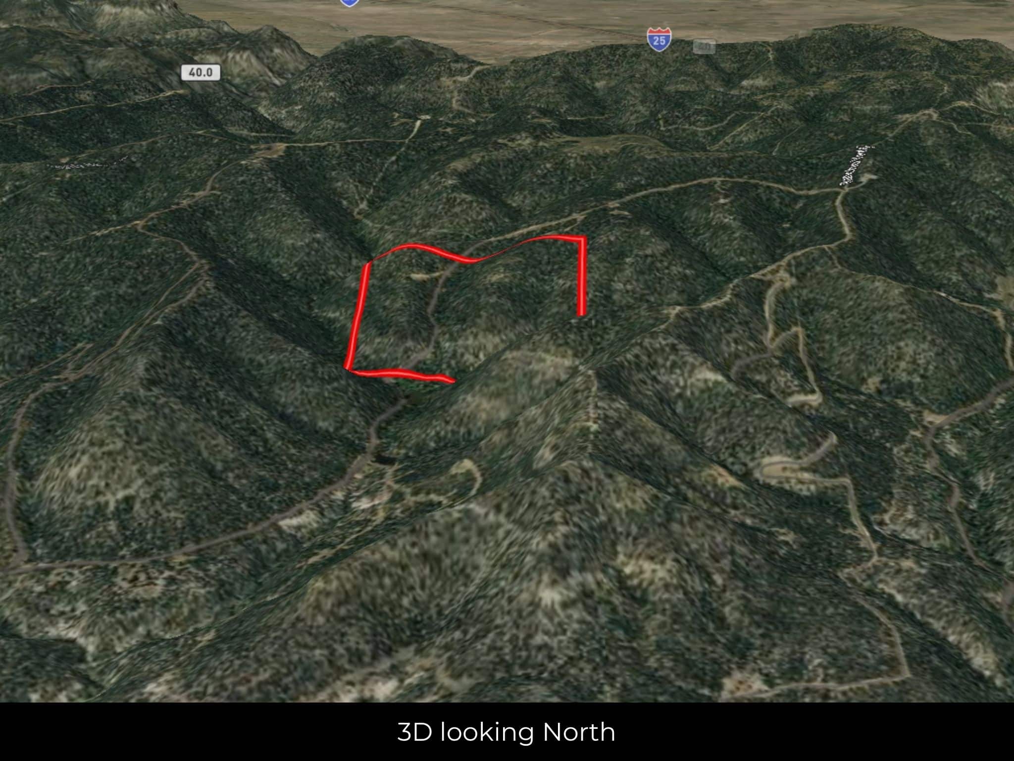
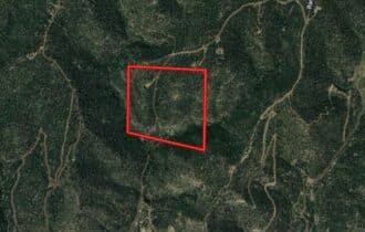
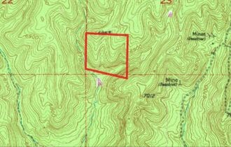
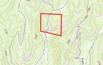
Parcel Size
41.04 Acre
State
Colorado
County
Las Animas
Nearest Cities
El Moro, CO
Parcel #
10428300
Address
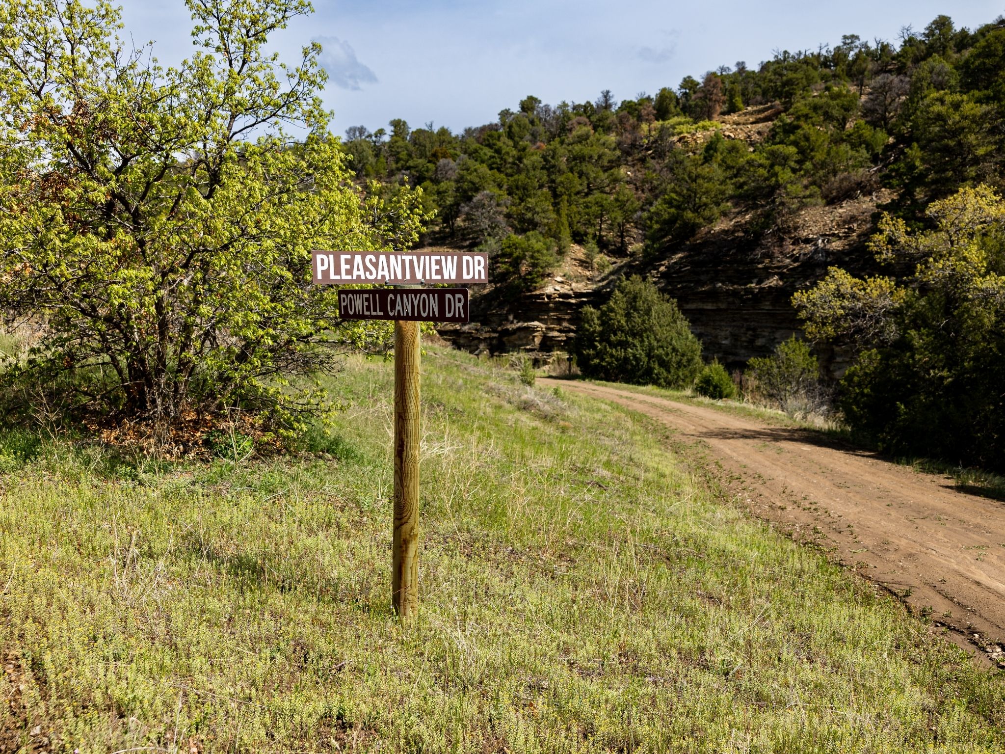
00 CR 69.8, Trinidad, CO, 81082
Legal Description
FISHER PEAK RANCH LOT-N8- CONT-41.04 ACRS M/L (LOCATED IN PT-SW4-23- & PT-NW4- 26-32-64)
Zip Code
81082
Annual Property Taxes
$362.28
Ag Exemption
No
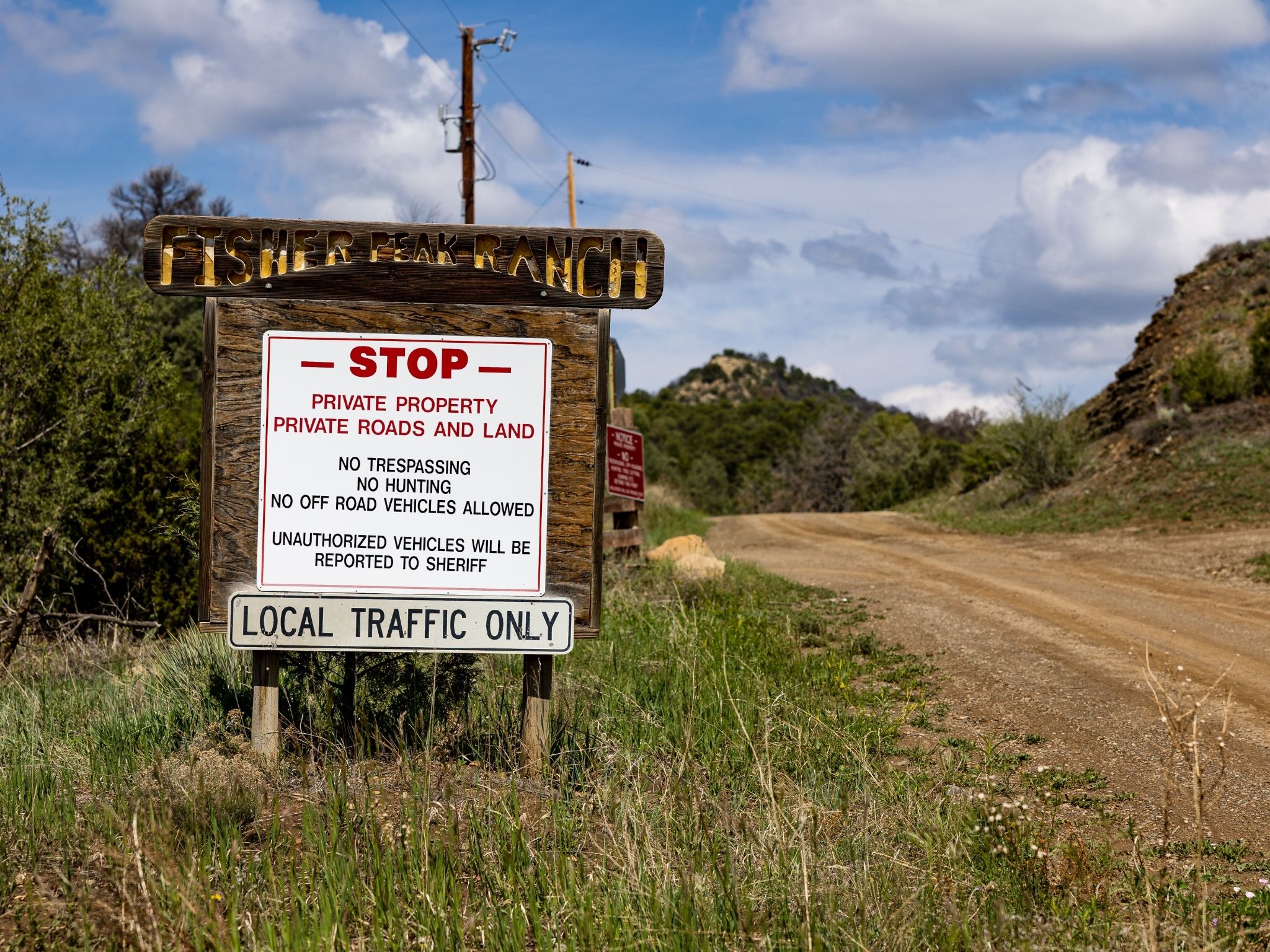
HOA
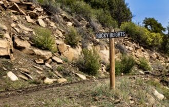
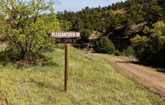
Fisher Peak Ranch
HOA per Year
$425 per year
Survey Available
No
School District
Trinidad School District 1
Liens and Back Taxes
None!
Source Deed
Sent for Filing.
Title Status
Free & Clear!
Outgoing Conveyance
Warranty Deed
Property Features
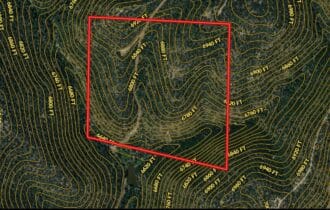
Acres
41.04
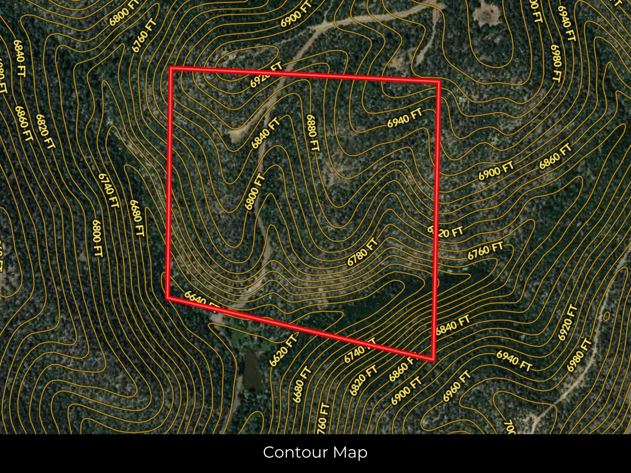
Dimension
1429.34 feet X 1330.75 feet
County
Las Animas
Subdivision
Exists
Access
Yes
Power
Available
Water
No
Coordinates
37.2385, -104.5373
Zoning
Vacant Land (NEC)
Elevation
6800 ft
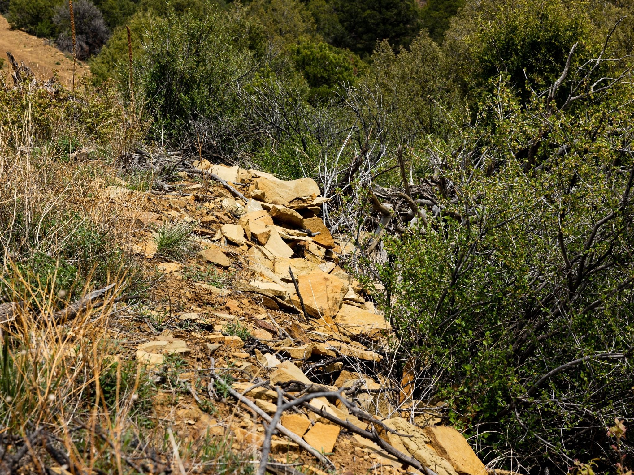
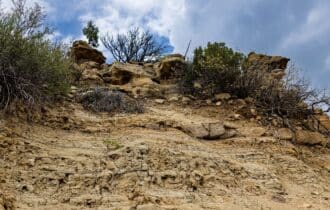
Terrain
Steep
Floodplain
No
Duplexes
Yes – Permit
Mobiles
Yes – Permit
Tiny Homes
Yes – Permit
Barndominiums
Yes – Permit
RV's
Yes – Permit
Camping
Yes – Permit
Property Survey, HOA, & Additional Documents
- Plat Map
- HOA
- HOA contact : Kelly Farquhar [email protected]
Utilities
🔌 Power: San Isabel Power or Solar, wind, propane, or alternative energy source.
💧 Water: Water haul or Water well, collection, hauling/delivery, or alternative.
🚽 Sewer: Septic or alternative sewer system.
☎️ Phone: cellular, VOIP (see internet below), and satellite phone through Iridium, Globalstar, or Inmarsat.
🌐 Internet: satellite internet through Starlink, HughesNet, or ViaSat.
📺 Cable: satellite cable through Dish or DirectTV.
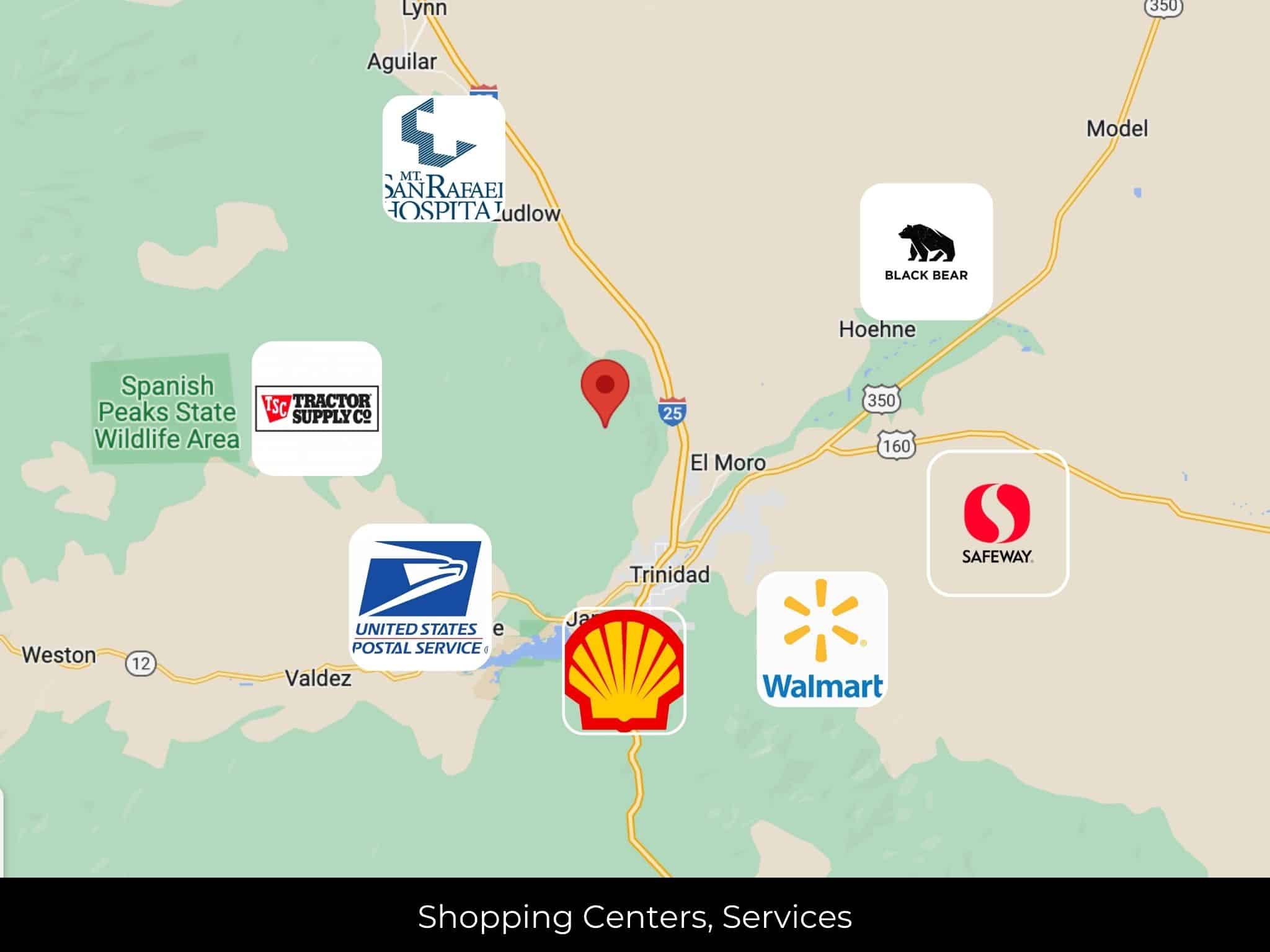
Nearby Cities, Conveniences, and Attractions
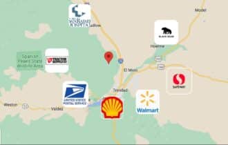
18 min (5.9 miles) to Shell, Trinidad, CO (about)
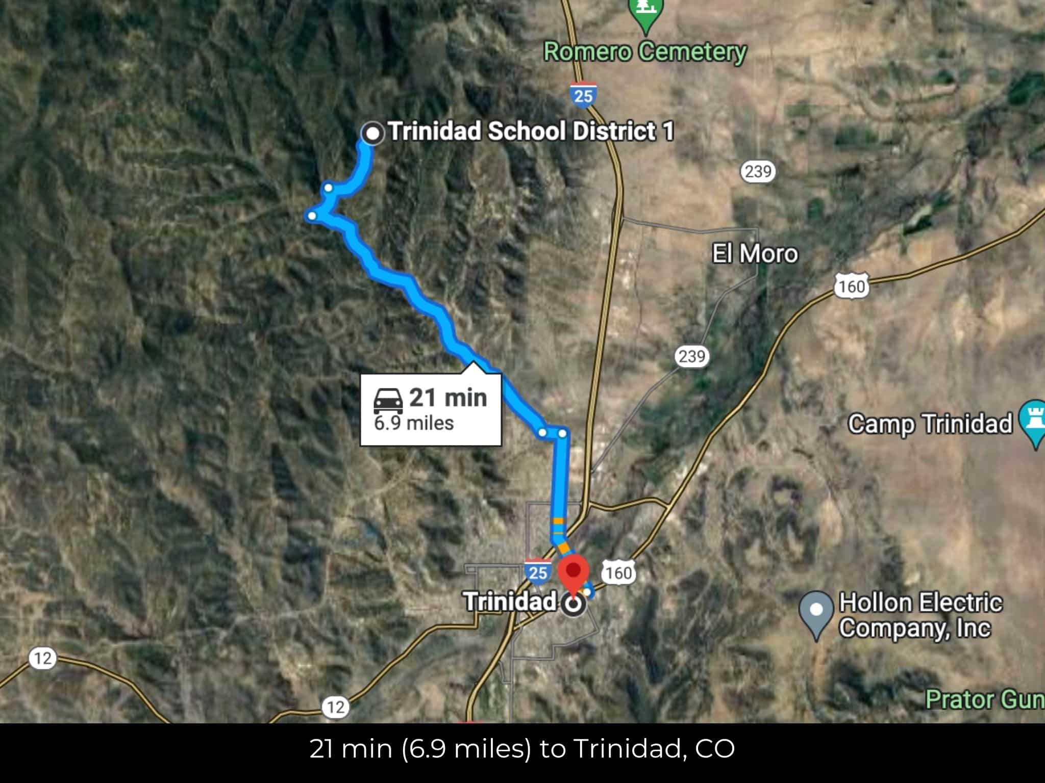
21 min (6.9 miles) to United States Postal Service, Trinidad, CO (about)
21 min (6.9 miles) to Trinidad, CO (about)
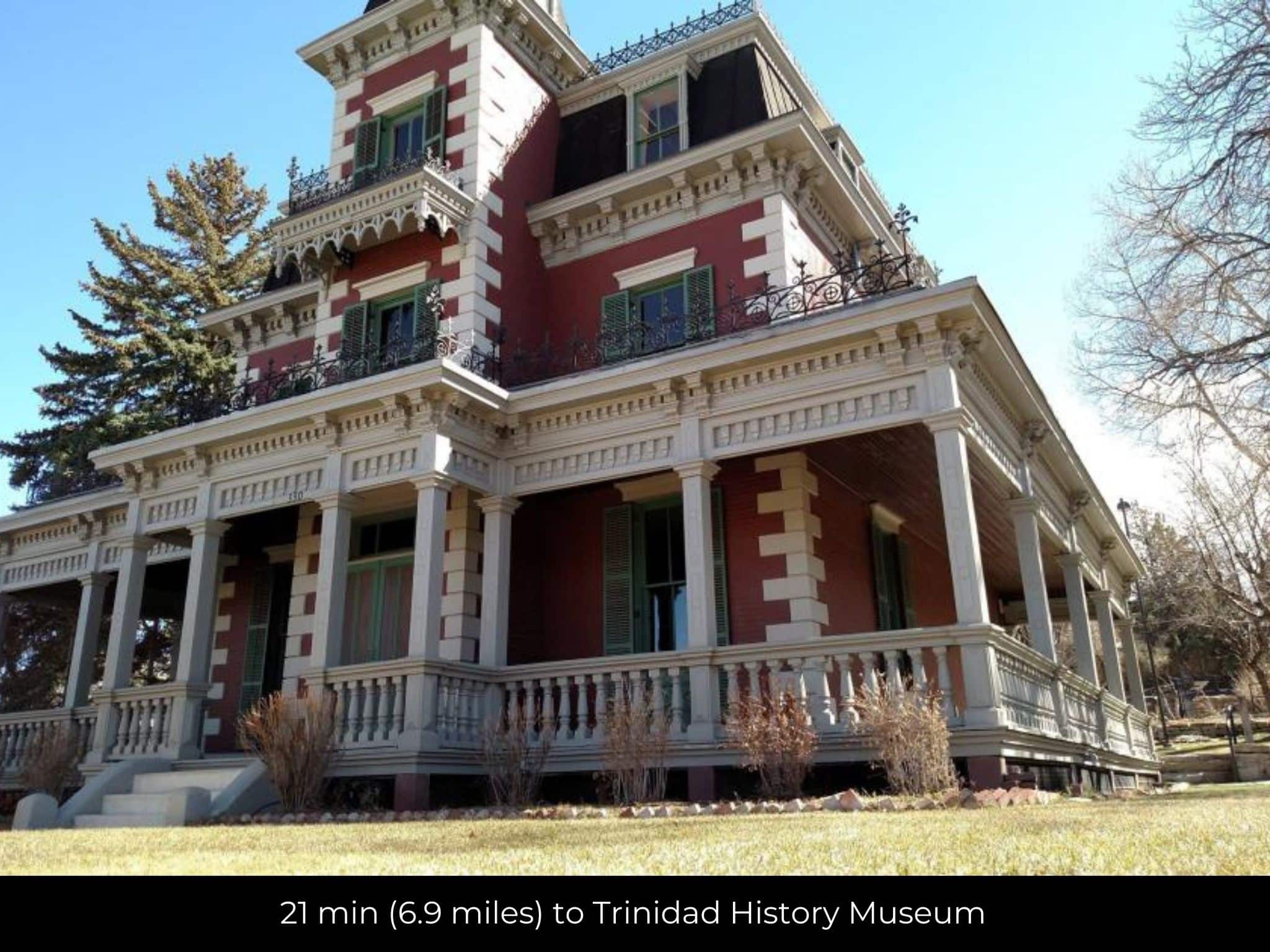
21 min (6.9 miles) to Trinidad History Museum (about)
22 min (6.9 miles) to Safeway, Trinidad (about)
23 min (8.0 miles) to Mt. San Rafael Hospital, Trinidad, CO (about)
24 min (10.1 miles) to Walmart Supercenter, Trinidad, CO (about)
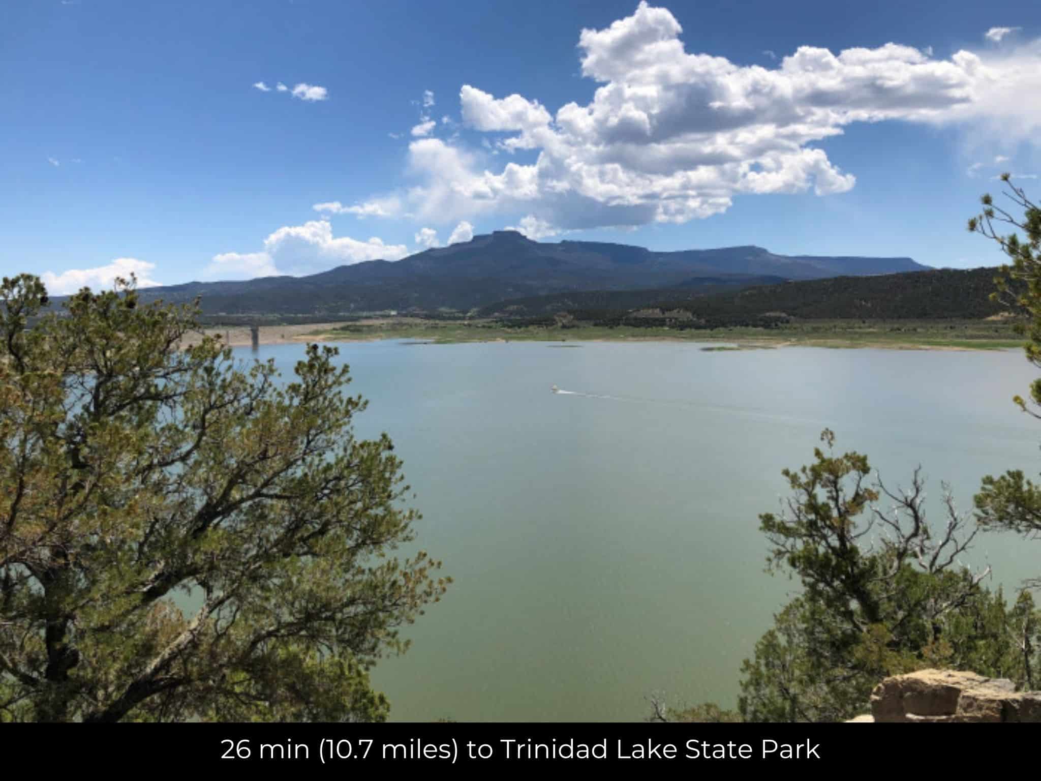
26 min (10.7 miles) to Trinidad Lake State Park (about)
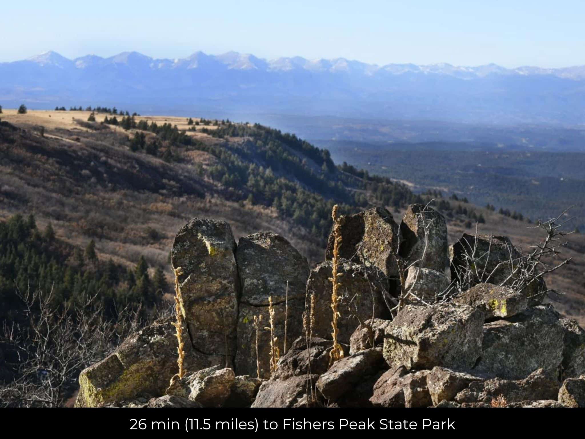
26 min (11.5 miles) to Fishers Peak State Park (about)
35 min (23.6 miles) to Black Bear Hardware, Aguilar, CO (about)
42 min (31.5 miles) to Tractor Supply CO, Raton, NM (about)
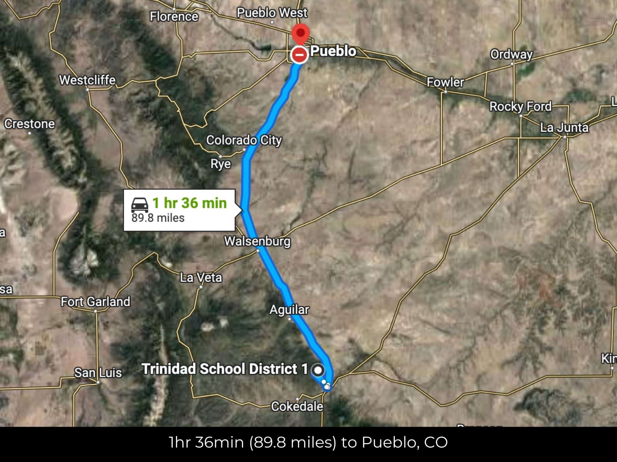
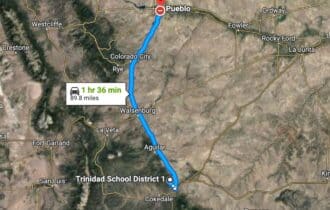
1 hr 27 min (88.3 miles) to Pueblo, CO (about)
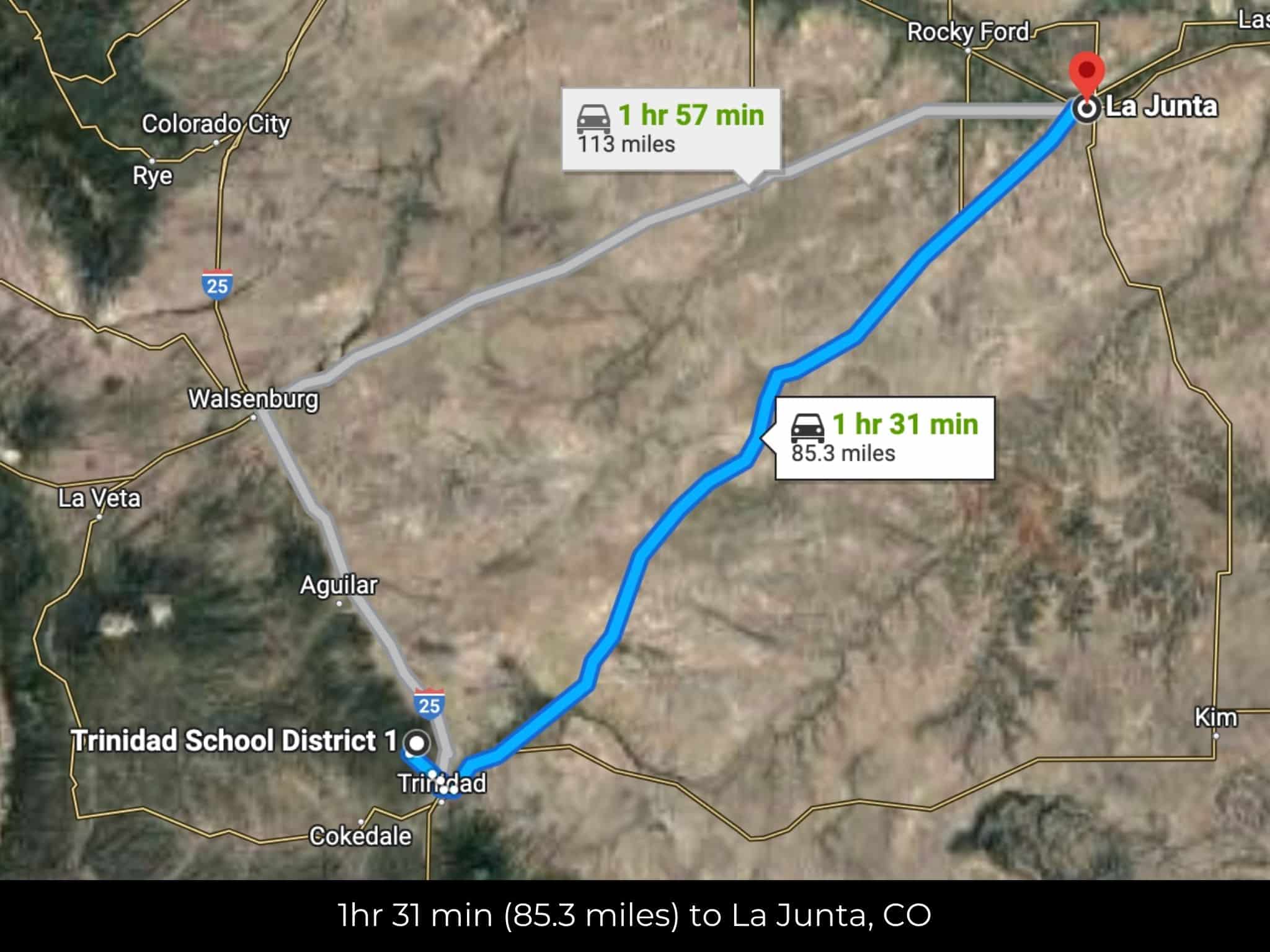
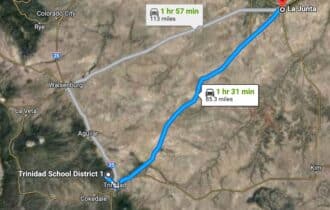
1 hr 30 min (85.3 miles) to La Junta, CO (about)
1 hr 31 min (87.2 miles) to Hanagan Farms (about)
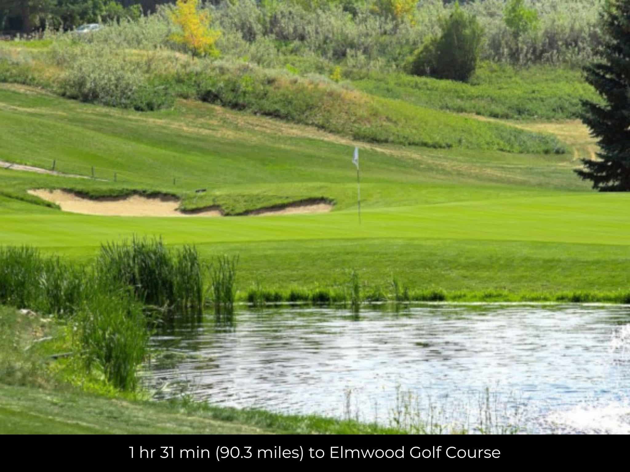
1 hr 31 min (90.3 miles) to Elmwood Golf Course (about)
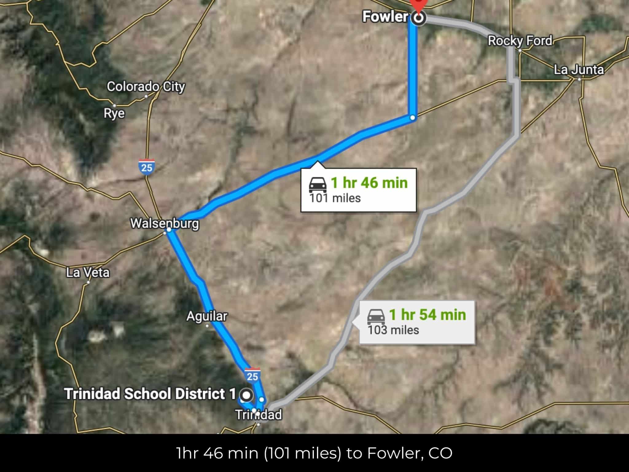
1 hr 47 min (101 miles) to Fowler, CO (about)
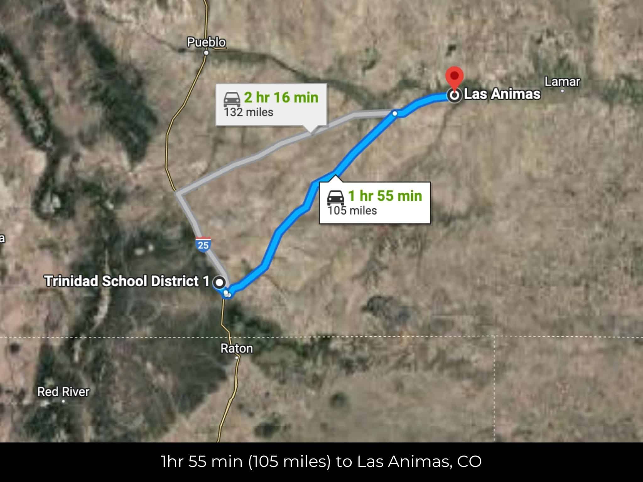
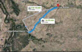
1 hr 54 min (105 miles) to Las Animas, CO (about)
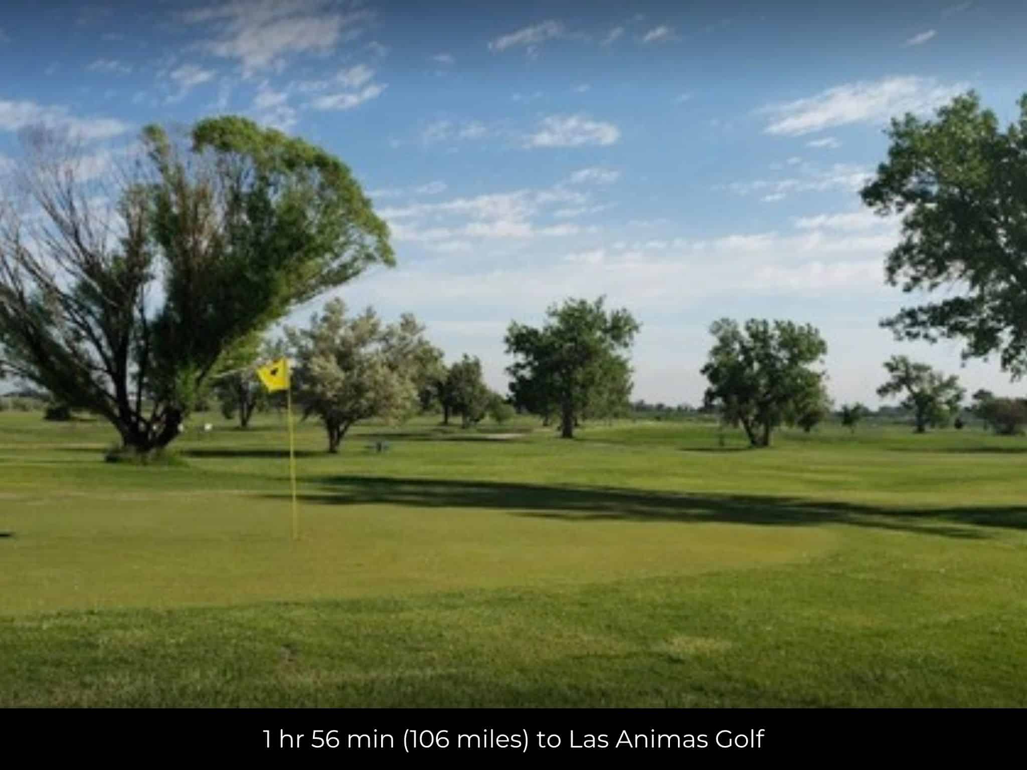
1 hr 56 min (106 miles) to Las Animas Golf (about)
2 hr 10 min (131 miles) to Colorado Springs, CO (about)
2 hr 14 min (137 miles) to The University of Colorado, Colorado Springs (about)
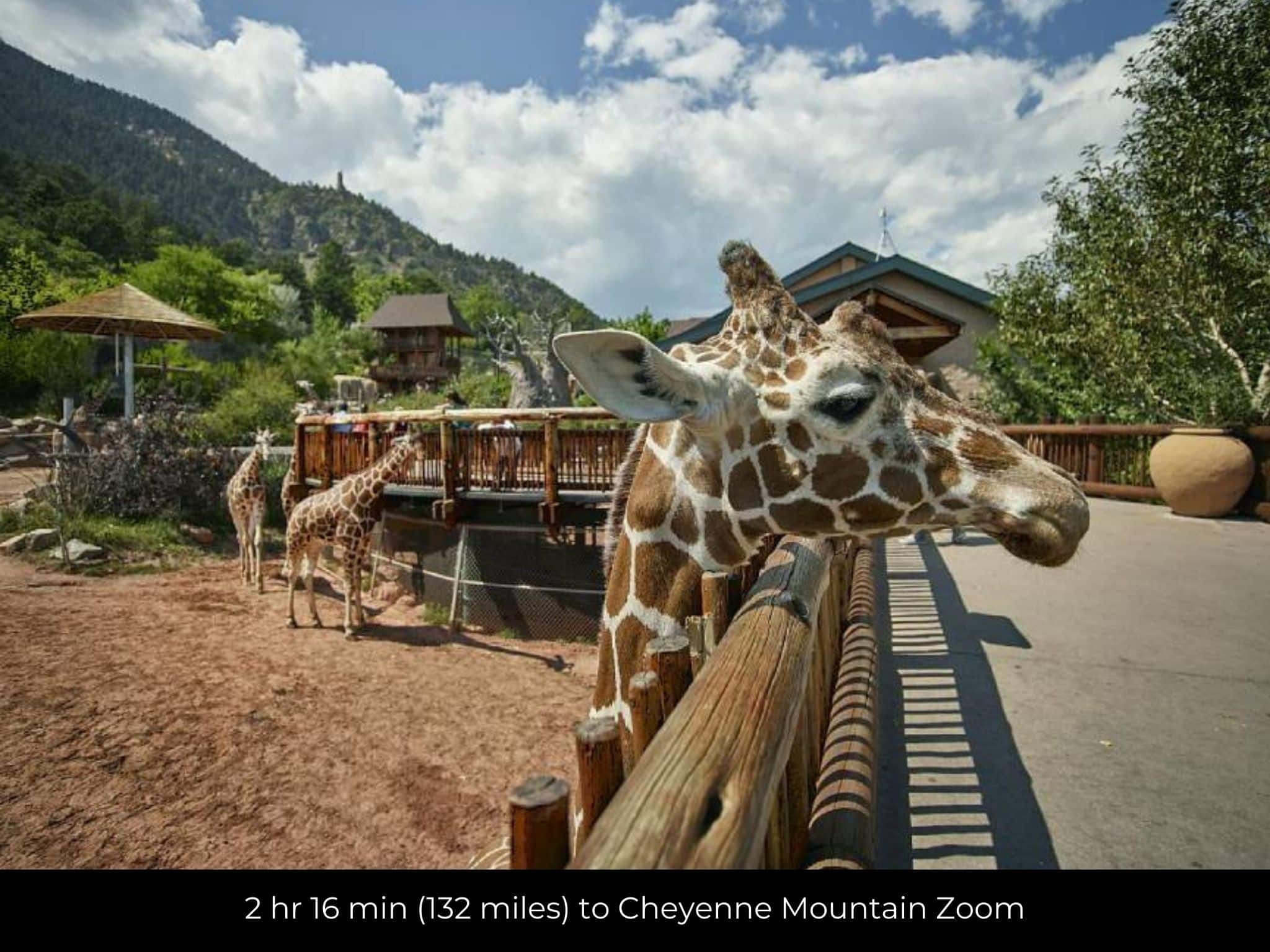
2 hr 16 min (132 miles) to Cheyenne Mountain Zoom (about)
2 hr 32 min (141 miles) to Lamar, CO (about)
2 hr 34 min (142 miles) to Pikes Tower (about)
County Contacts
Las Animas County Assessor Jodi Amato 719-846-2295 (website)
Las Animas County Treasurer Donna J. Leonetti 719-846-2981 (website)
Las Animas County Clerk Karrie L. Apple 719-846-3314 (website)
Las Animas County Zoning 719-845-2577 (website)
Las Animas County Health 719-846-2213 (website)
Las Animas County CAD (website)
Las Animas County GIS (website)
Closing Costs and Fees
$299
Document Prep Fee
Buyer will pay a $299 document preparation fee, which includes all postage and county recording fees. Seller will warrant title to the property.
$0
In-House Closing Fee
There will be no additional fees or expenses for an in-house closing. We will close in 14 days or less. This is the fastest, easiest, and cheapest way to close.
$1,500+
Title Company Fees*
Title Company costs are typically 2-5% of the purchase price with a minimum fee of around $1,500. Many states have legislated, standard insurance rates and other fees vary by the title company.
* If Buyer elects to close through a third-party title company, Buyer will bear all closing costs and expenses, including Seller’s title policy and Seller's escrow fees. Closing through a title company typically takes 30-45 days, depending on the county, title company, and transaction activity in the area.
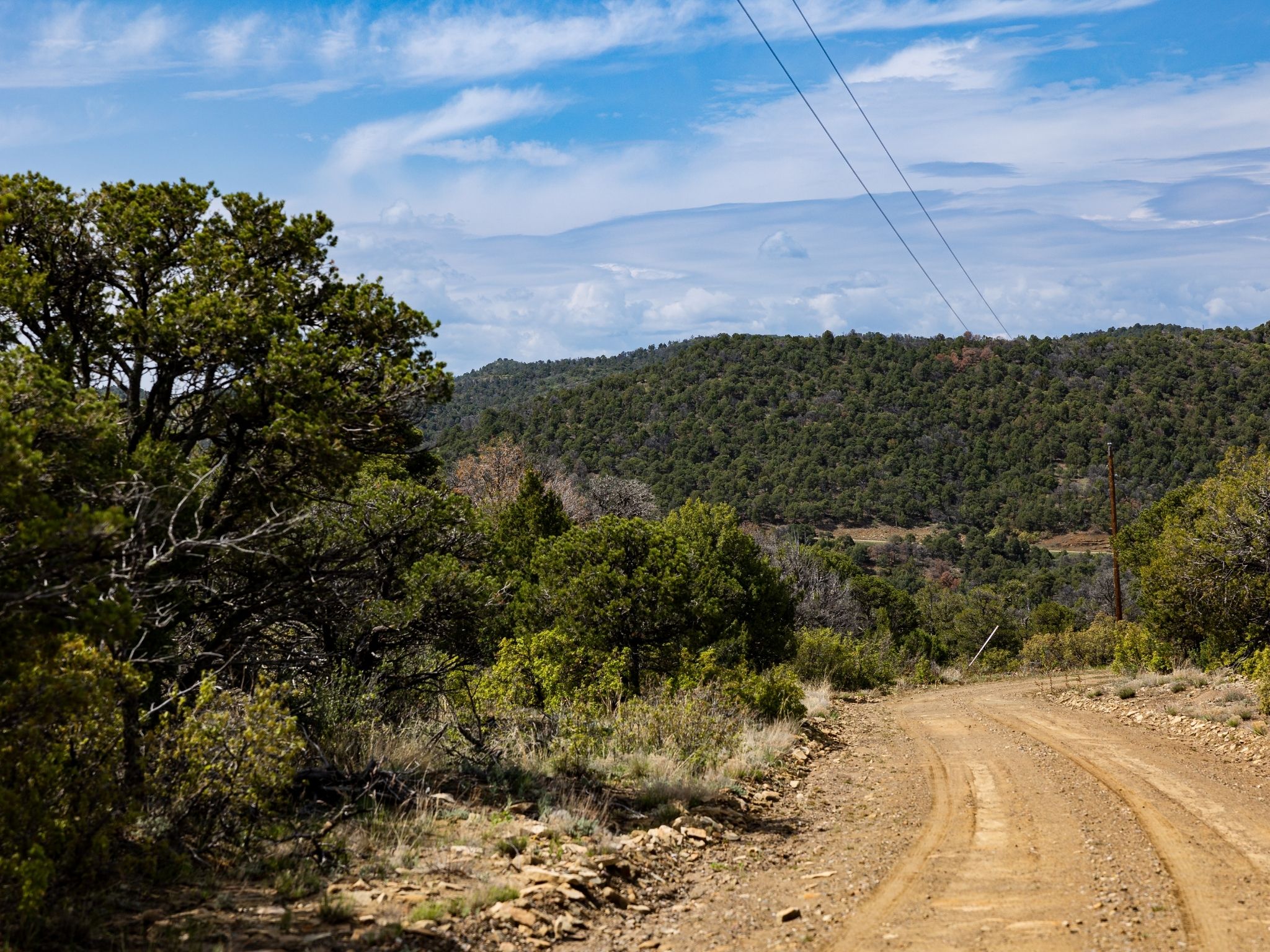
Driving Directions and GPS Coordinates
🚗 Driving Directions: Take Baldy Canyon Rd to E Goddard Ave in Trinidad
18 min (5.7 mi), Drive to CO-239 N
📍 Northwest Corner: 37.24, -104.5395 (Google Map)
📍 Northeast Corner: 37.2398, -104.5353 (Google Map)
📍 Southeast Corner: 37.2365, -104.5354 (Google Map)
📍 Southwest Corner: 37.2372, -104.539 (Google Map)
📍 Center Point: 37.2385, -104.5373 (See embedded Google Map below 👇.)
Google Map
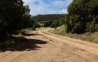
If you click the blue Directions link below, 👇 you can get Google turn-by-turn directions to the property on any device. The map coordinates for the Google Map below are for the approximate center of the property and not the entrance, gate, or primary access point for the property. Google Maps may provide driving directions that require the use of private or abandoned roads or may require you to go through gates located on private property. Do not trespass on private property! Some properties will require a 4-wheel drive vehicle or may be inaccessible in certain weather conditions. Please don't get stuck or lost.
Additional Notes
As-Is and As-Available: This property is being sold property “as-is” and “as-available.” No representations as to fitness for a particular purpose have been made. No verbal claims or promises have been made. Please see our Terms of Service for more information.
Contract: After making your initial deposit, we will email you the purchase and sale agreement, which includes a warranty deed. Agreements are prepared manually and will be sent out Monday through Friday between 9 AM and 5 PM CST. Thank you for your patience.
No Monthly Payments: We are not offering seller financing on this property. This is an all-cash transaction. We are not offering a payment plan. If you would like to finance your purchase of the property, please contact a third-party lender prior to making your deposit. We will not sign a purchase and sale agreement that is contingent upon third-party financing without a pre-approval letter.
3% Buyer's Agent Commission: You are not required to have an agent or broker assist you with purchasing this property. However, if the Buyer does use an agent, and the Seller is made aware of this prior to an agreement on price or signed contract, the Seller will pay a 3% commission to the Buyer's licensed agent or broker.
Maps and GPS Coordinates: Maps and GPS coordinates are believed to be accurate, but accuracy is not guaranteed. The information contained in the maps should not be considered a “legal description,” and the maps and GPS coordinates are not a replacement for a survey. We have taken reasonable steps to ensure that parcel lines, maps, and coordinates are in fact accurate, but third-party geographical information system (GIS) providers, including information from the county, often contain errors and inaccuracies.